Elevation of Dorsey Ln, Warsaw, MO, USA
Location: United States > Missouri > Benton County > South Lindsey Township > Warsaw >
Longitude: -93.379053
Latitude: 38.2546605
Elevation: 222m / 728feet
Barometric Pressure: 99KPa
Elevation Map:
Satellite Map:
Related Photos:

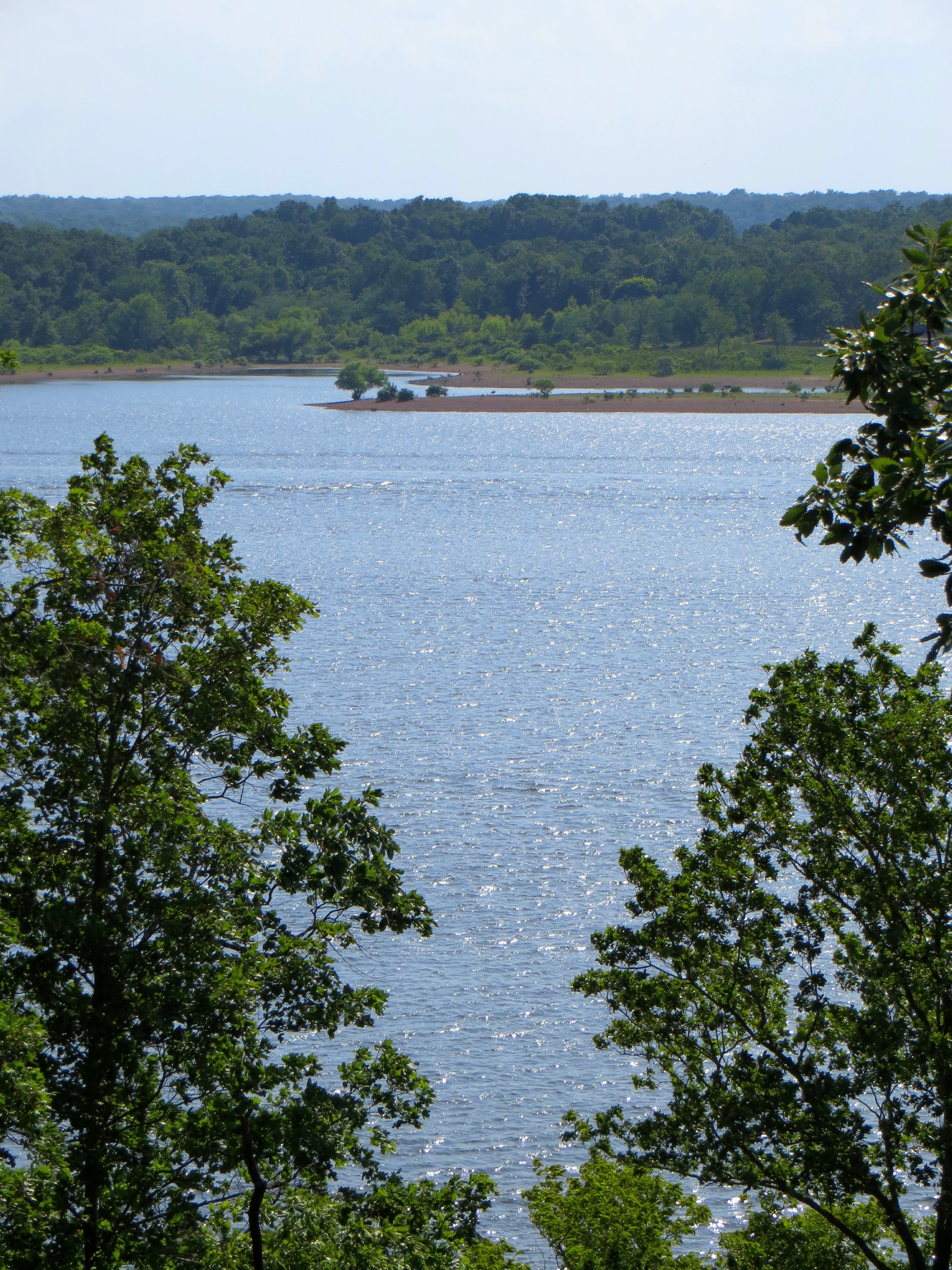
View across Harry S.Truman Lake at Berry Bend

Our MSR Mutha Hubba tent at Berry Bend Campground

View from our tent, mist on the lake - Berry Bend, Harry S Truman Reservoir
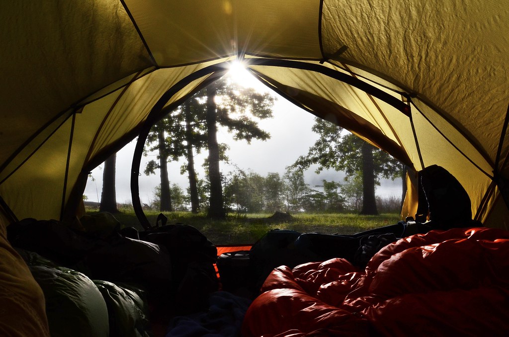
View from our tent, mist on the lake - Berry Bend, Harry S Truman Reservoir
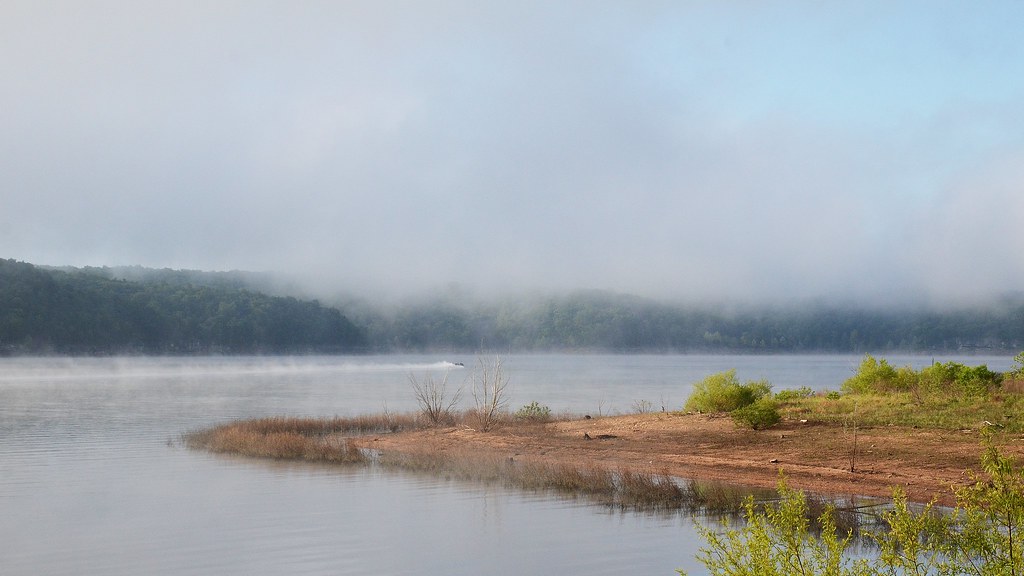
Early Morning mist on the lake - Berry Bend, Harry S Truman Reservoir

Early Morning mist on the lake - Berry Bend, Harry S Truman Reservoir

Our tent at Berry Bend Campground

Camping at Berry Bend on Harry S. Truman Lake

Camping at Berry Bend on Harry S. Truman Lake

look at the tree ...and the view. (#bachelorparty float trip)

Morning Mist on Truman Lake

Stormy view of the street
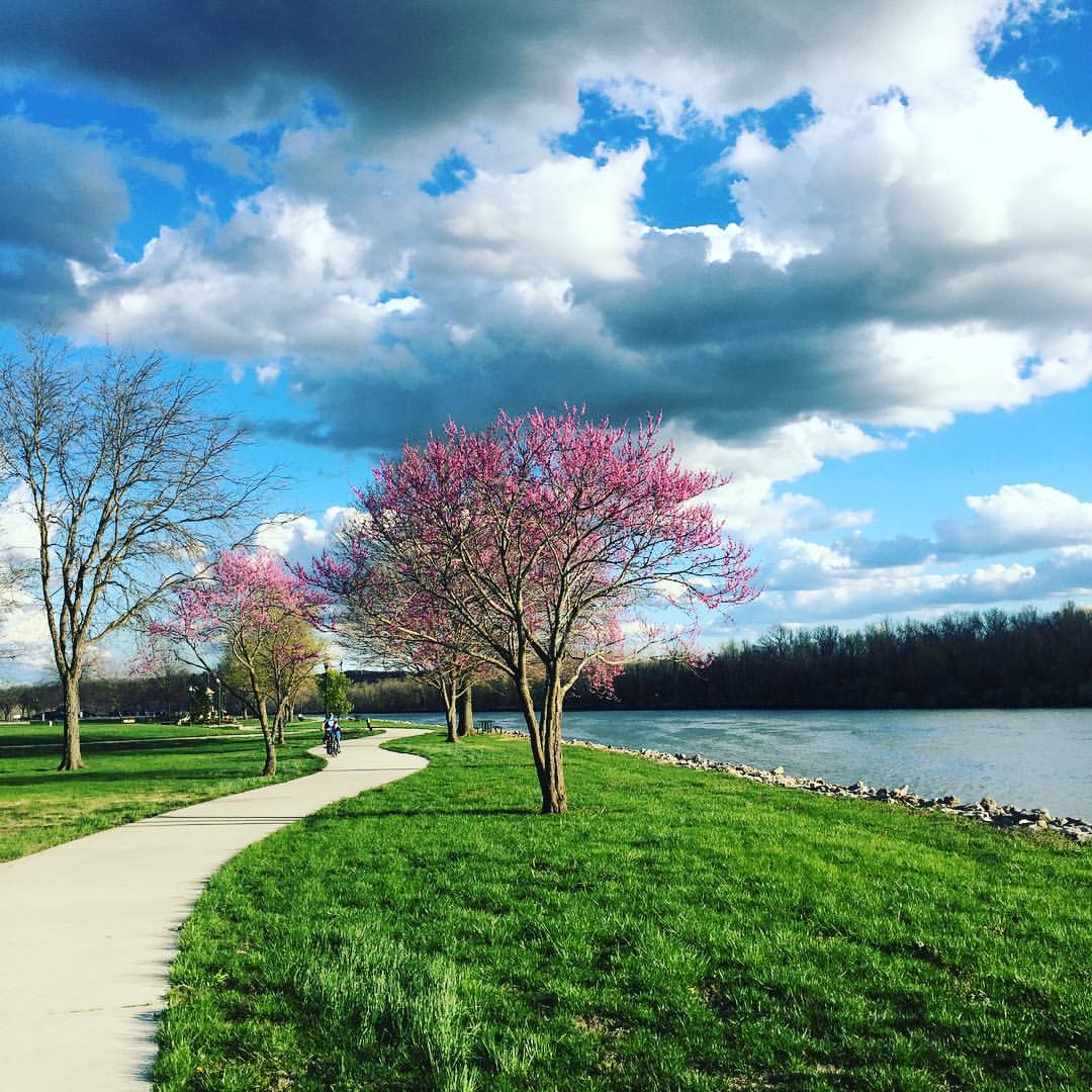
#bike #cycling #bikelife #trail #spring #flowers #redbud #lakeoftheozarks #HarrySTruman #reservoir #clouds #cloudscape #sky #skyscape #warsaw #missouri

At the lake. #lake #relax

Truman Dam, Benton County (Mo.), 18 June 1981

Highway 7 Bridge from the Western Wallflower Overlook
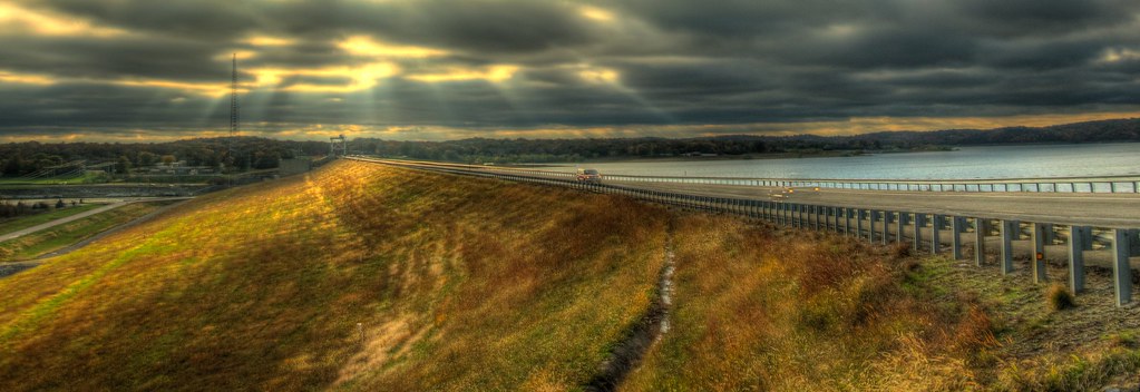
Sun Rays on the Truman Dam [HDR]

standing guard2

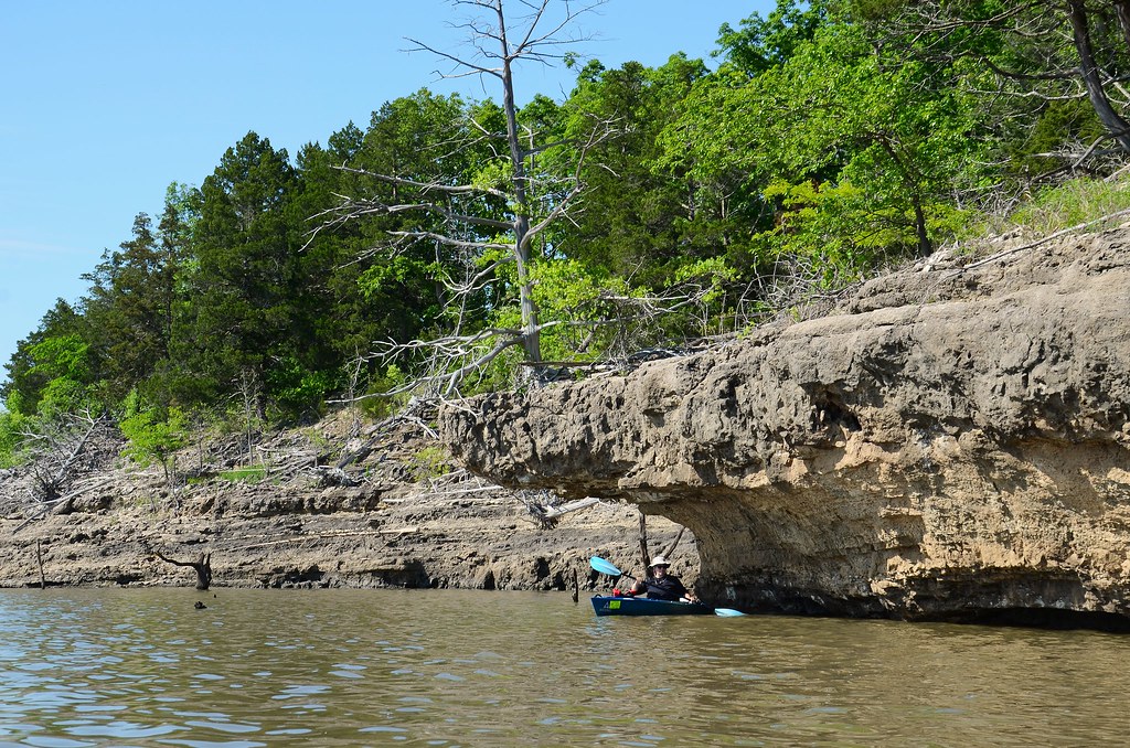
Ascend FS10 and Ascend D10 kayaks at Berry Bend, Harry S Truman Reservoir

Ascend FS10 and Ascend D10 kayaks at Berry Bend, Harry S Truman Reservoir

Summer Sunset

Ascend FS10 Kayak on Harry S Truman Reservoir
Enjoying the shade

Penstemon sp.

Mare's baby
Western Wallflower Overlook

The Rocky Bluff Ridge Trail

Bluff Ridge

Mare's baby

Mare's baby
Topographic Map of Dorsey Ln, Warsaw, MO, USA
Find elevation by address:

Places near Dorsey Ln, Warsaw, MO, USA:
1545 Renee
810 Lucas Ln
148 Sue Ave
South Lindsey Township
Warsaw
Walter Avenue
MO-83, Warsaw, MO, USA
Tom Township
Harry S Truman State Park
19437 Baptist Ridge Rd
Burton Dr, Warsaw, MO, USA
Fristoe Township
Black Rock Avenue
Shore Road
28665 Fir Dr
Neuharth Circle
26744 Waterview Dr
26758 Waterview Dr
26770 Waterview Dr
26770 Waterview Dr
Recent Searches:
- Elevation of Woolwine, VA, USA
- Elevation of Lumagwas Diversified Farmers Multi-Purpose Cooperative, Lumagwas, Adtuyon, RV32+MH7, Pangantucan, Bukidnon, Philippines
- Elevation of Homestead Ridge, New Braunfels, TX, USA
- Elevation of Orchard Road, Orchard Rd, Marlborough, NY, USA
- Elevation of 12 Hutchinson Woods Dr, Fletcher, NC, USA
- Elevation of Holloway Ave, San Francisco, CA, USA
- Elevation of Norfolk, NY, USA
- Elevation of - San Marcos Pass Rd, Santa Barbara, CA, USA
- Elevation of th Pl SE, Issaquah, WA, USA
- Elevation of 82- D Rd, Captain Cook, HI, USA