Elevation of Donoure West, Co. Cork, Ireland
Location: Ireland > Cork > Cork > Rathcool >
Longitude: -8.952443
Latitude: 52.0607687
Elevation: 175m / 574feet
Barometric Pressure: 99KPa
Elevation Map:
Satellite Map:
Related Photos:
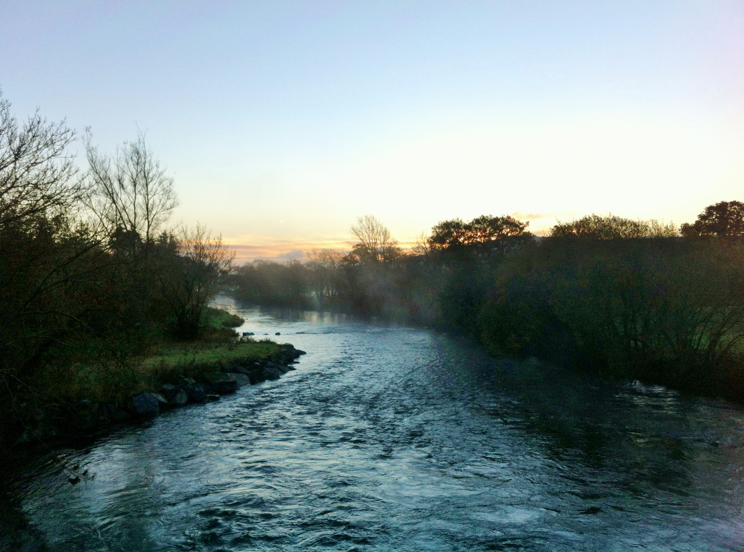
Sunrise over the River Blackwater, Co Cork, Ireland
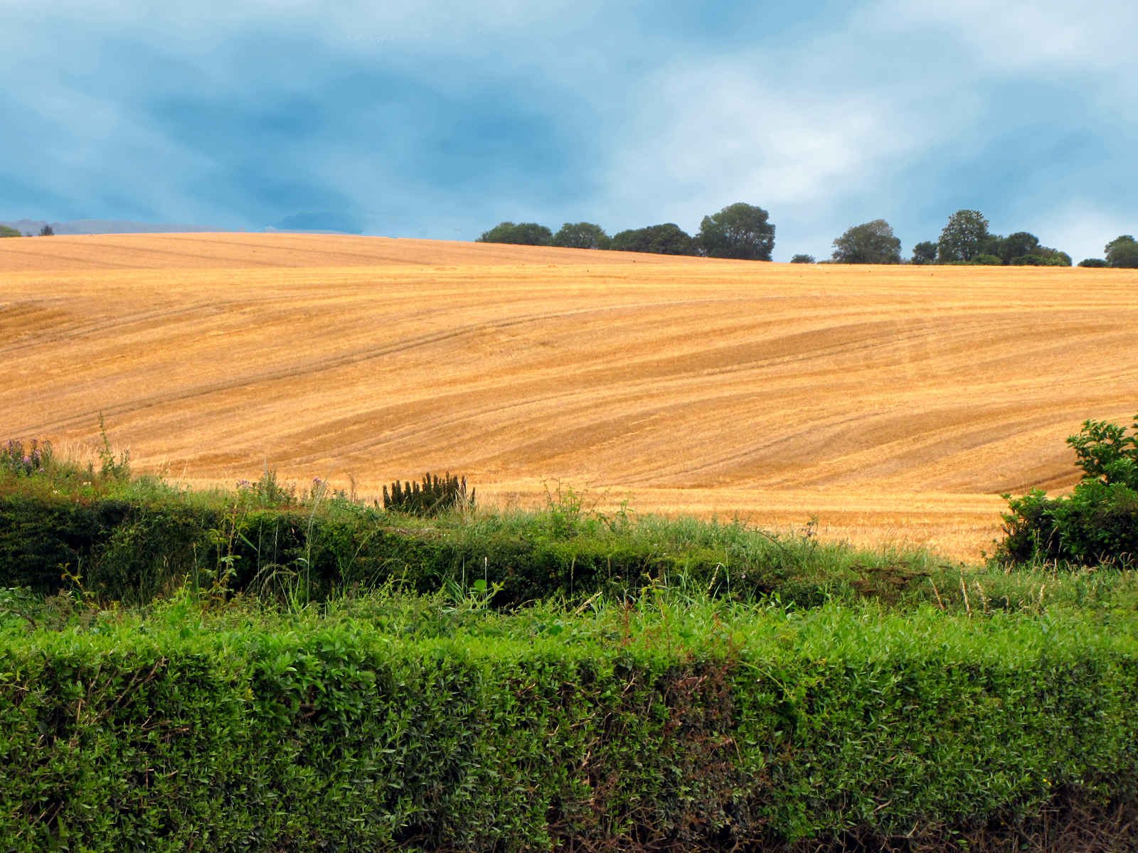
Yellow Landscape
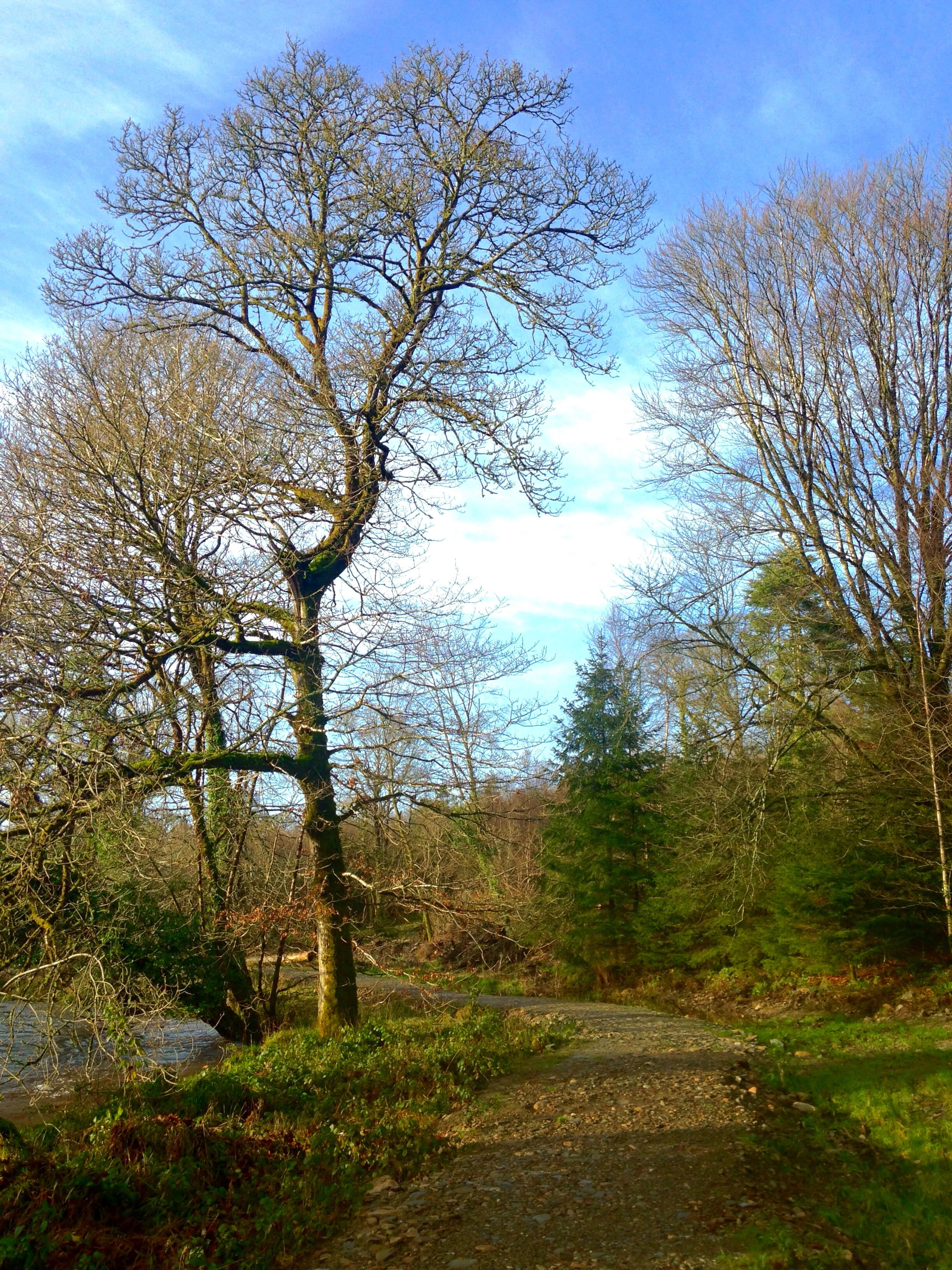
Winter Solstice Walk
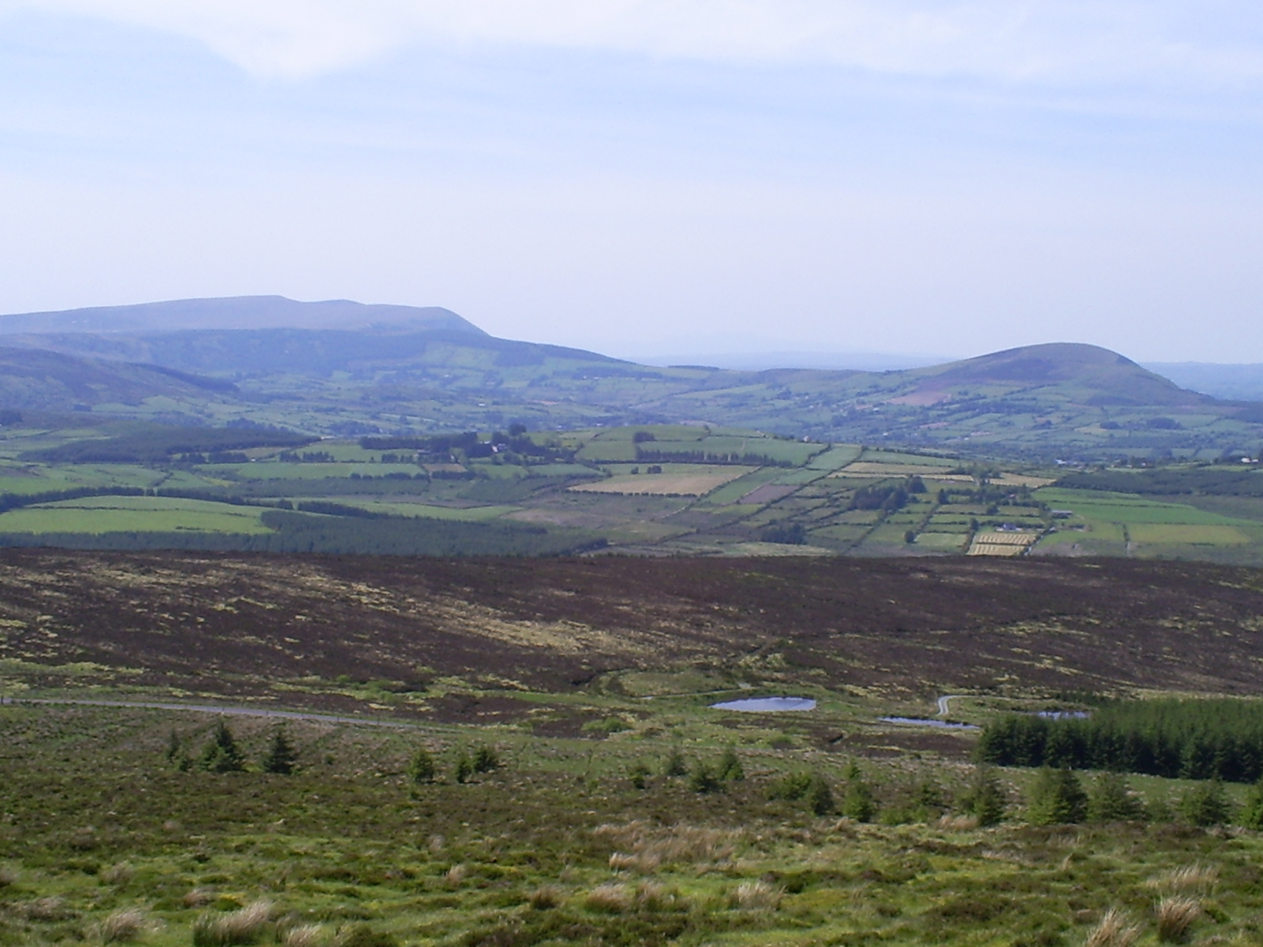
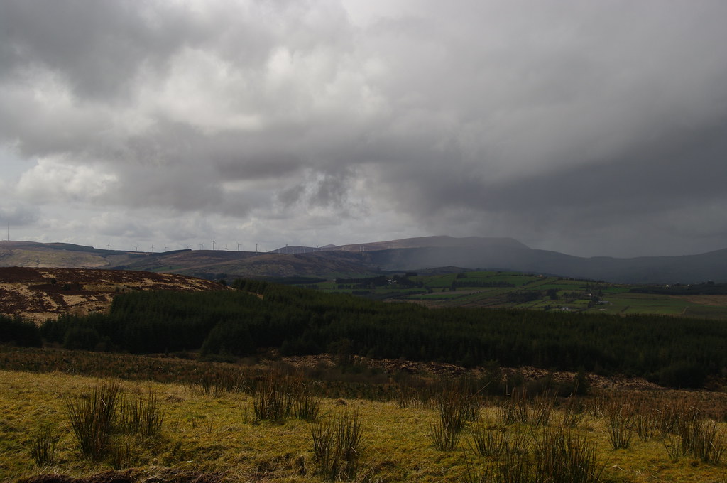
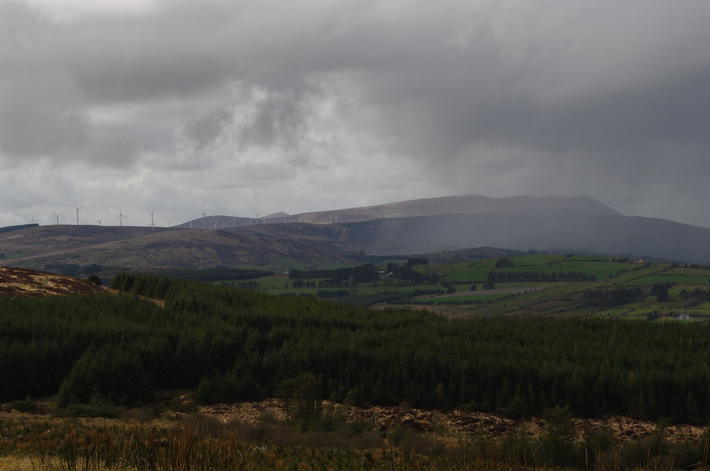
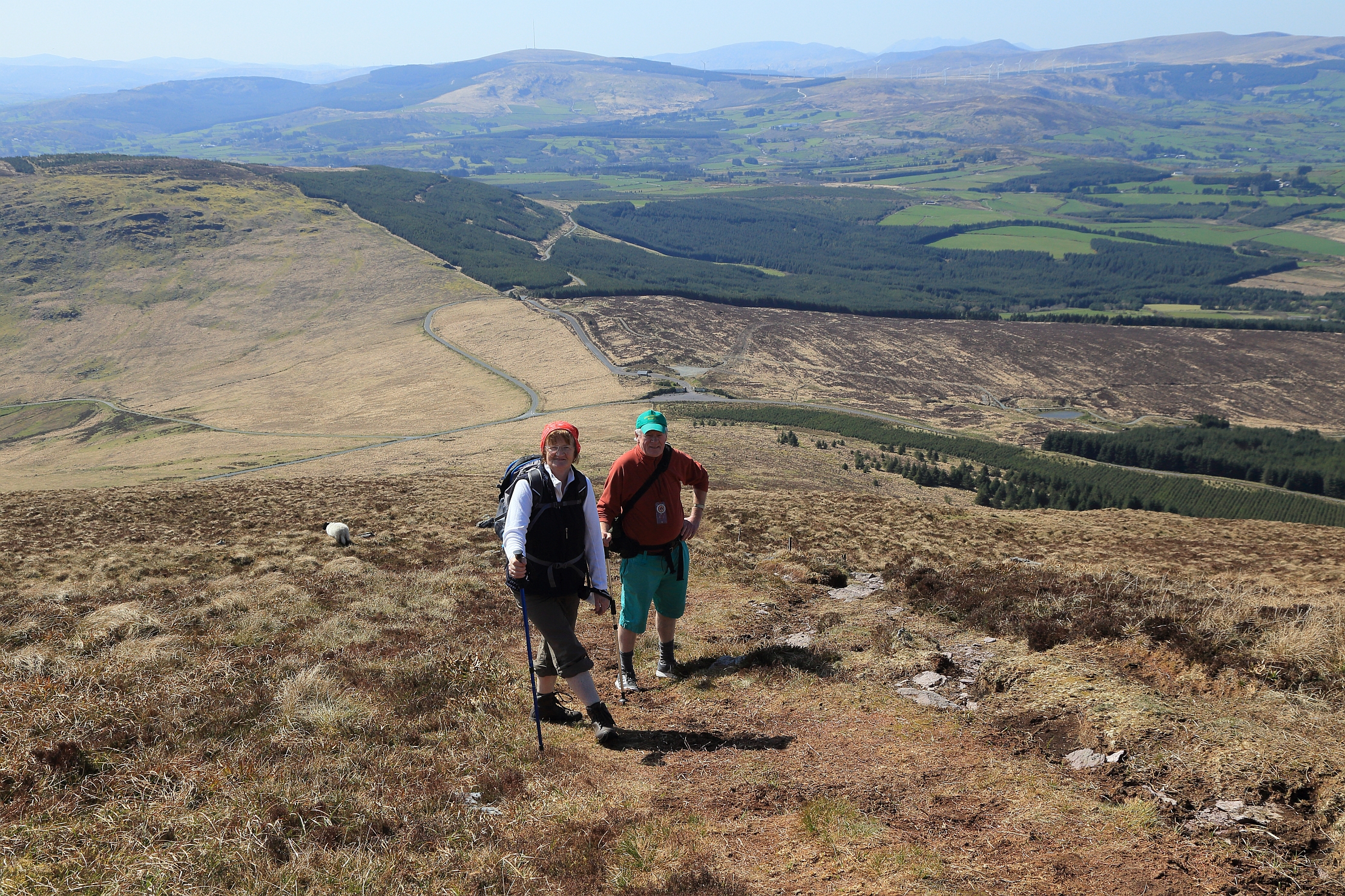
View towards Derrynasagart Mts
The River Blackwater
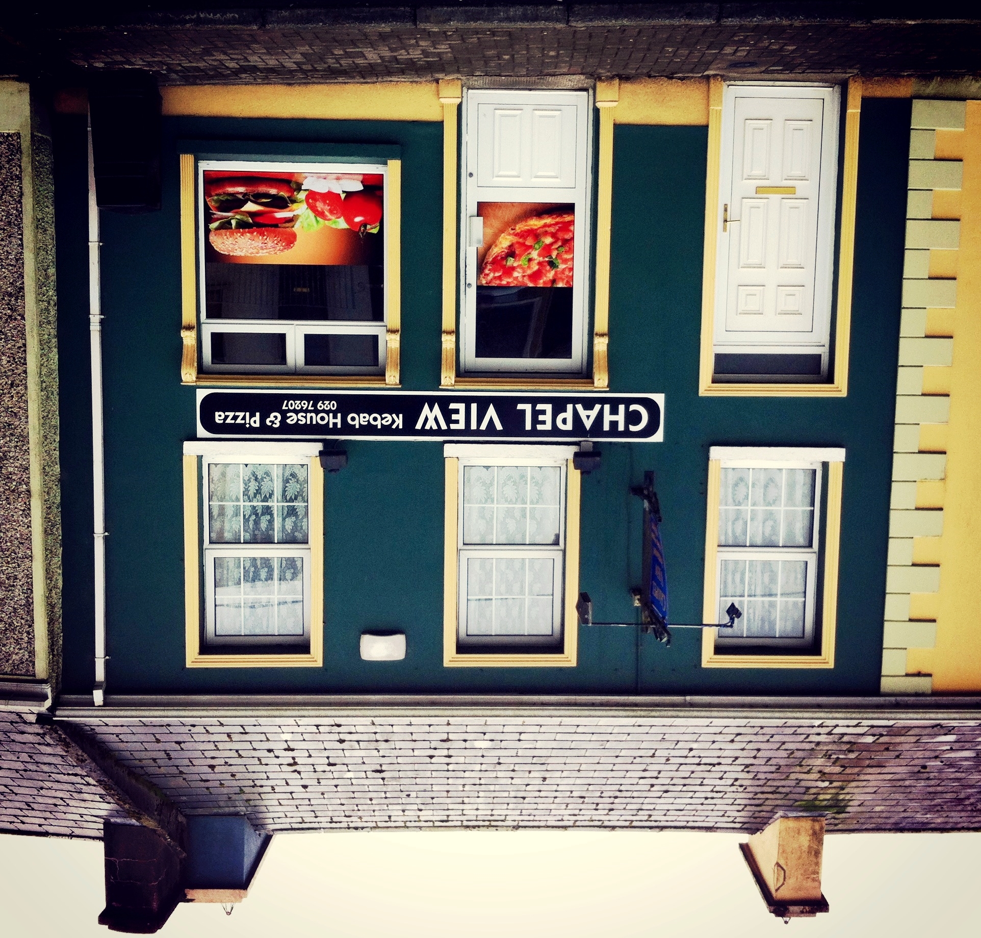
Chapel View
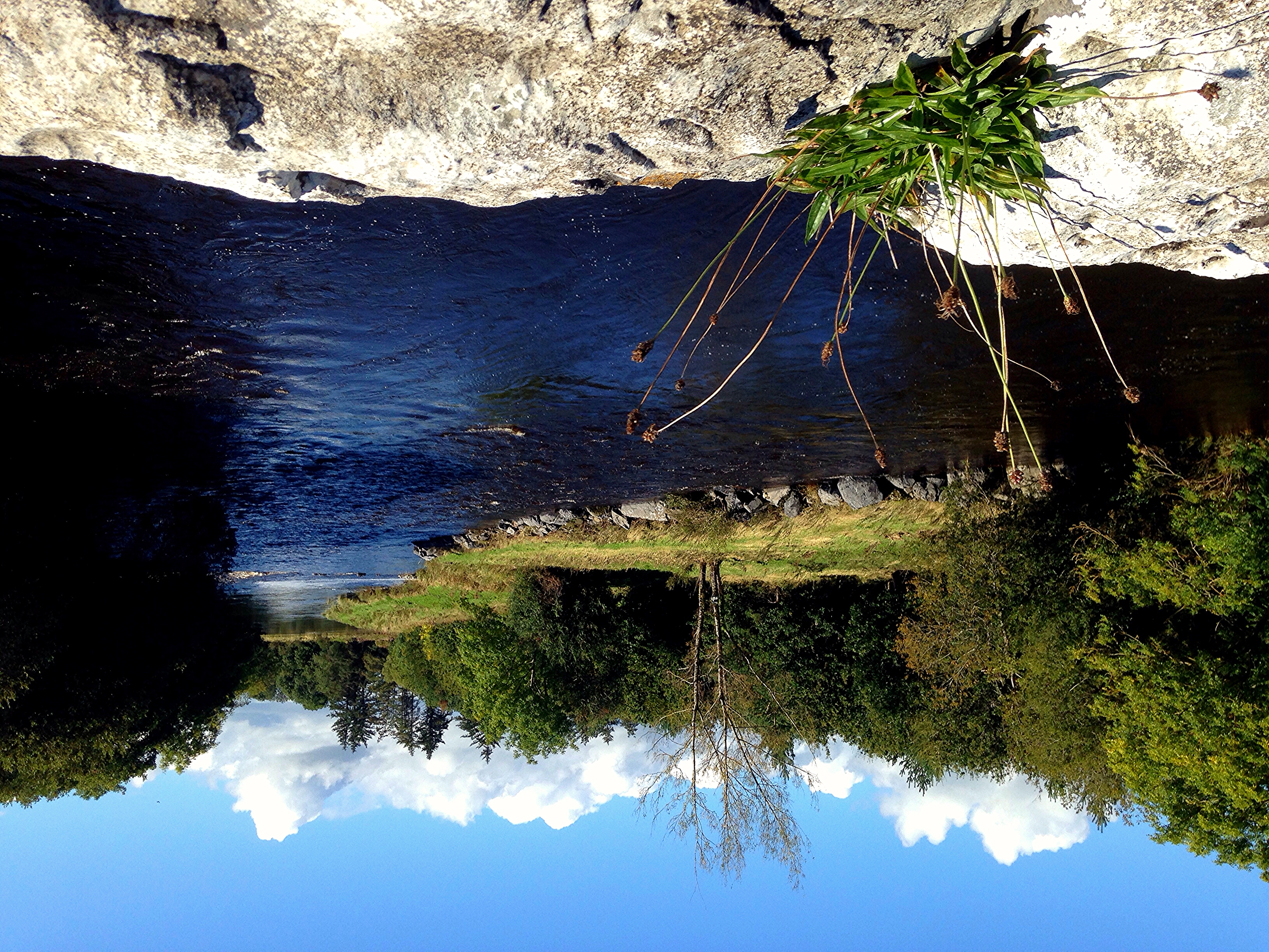
Lake view
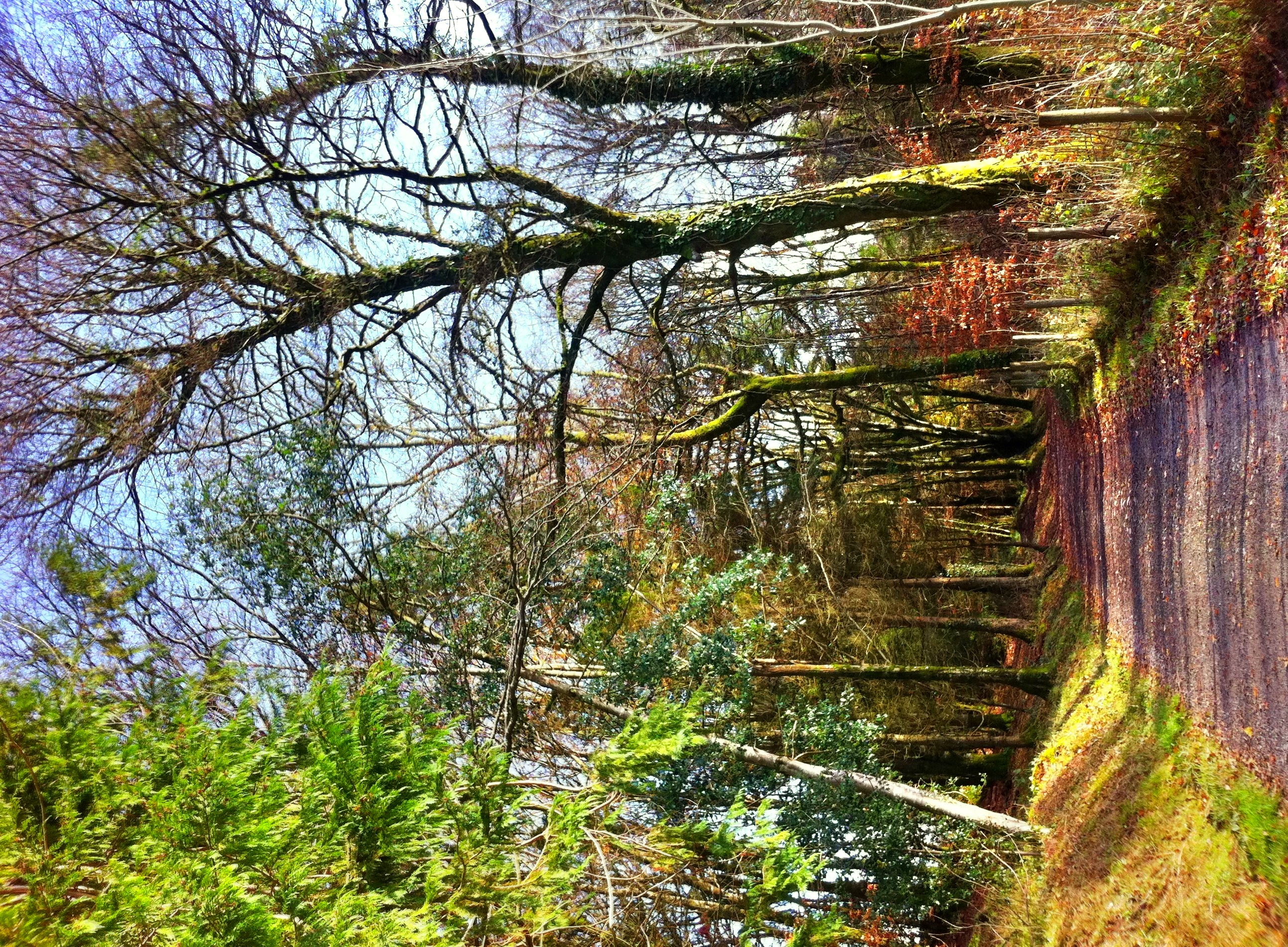
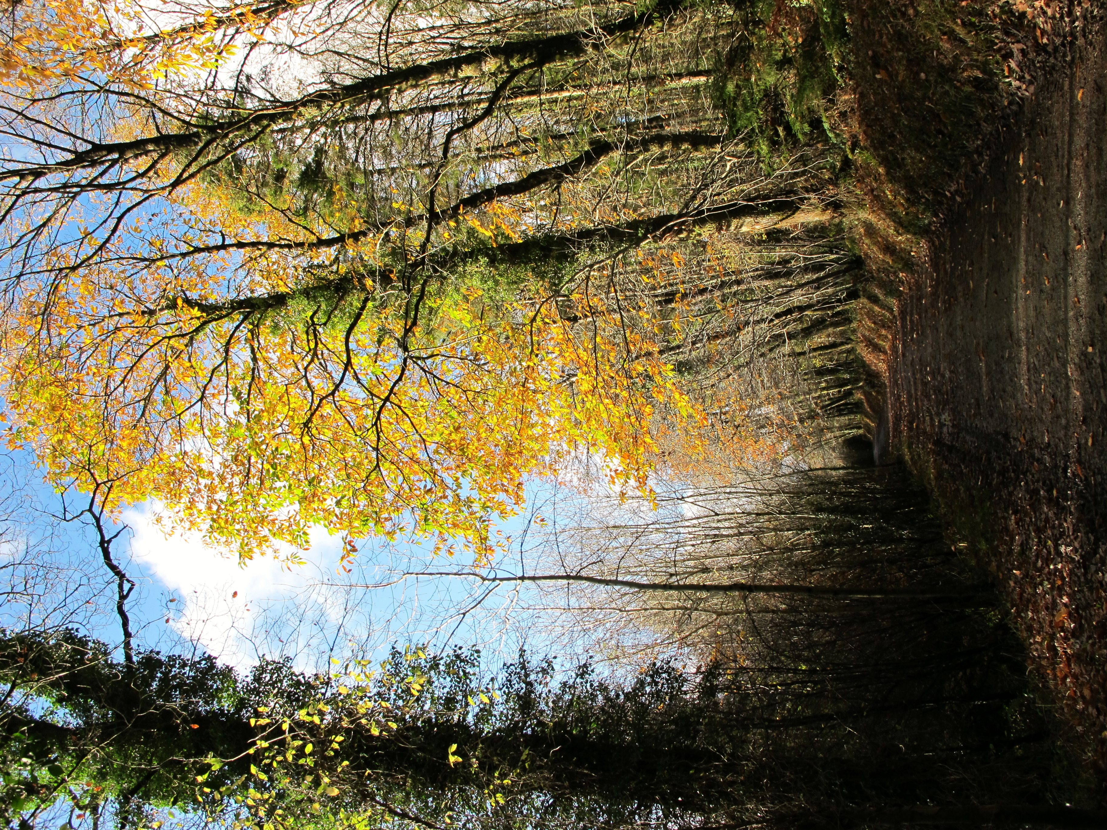
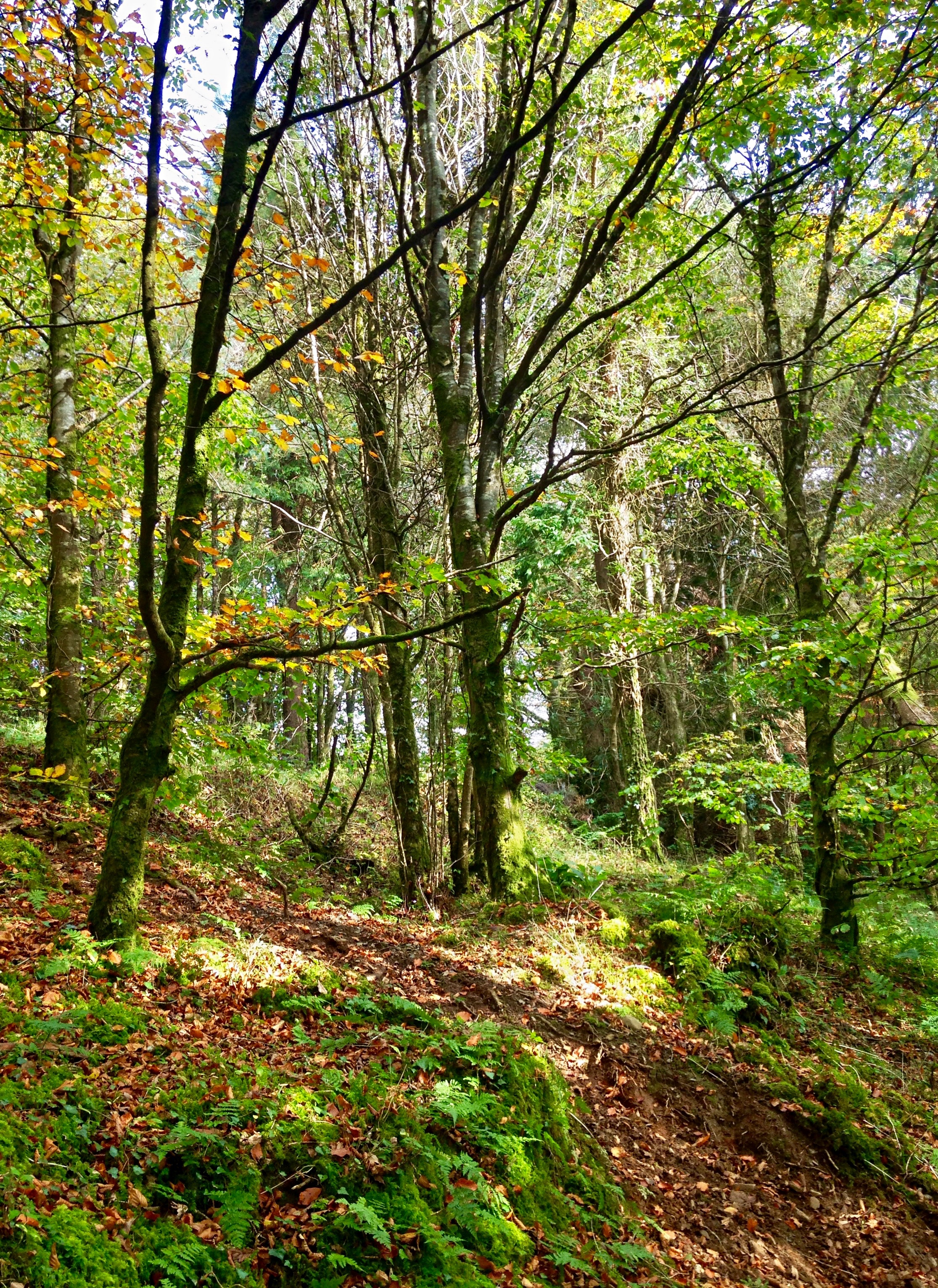
The Road through the Woods
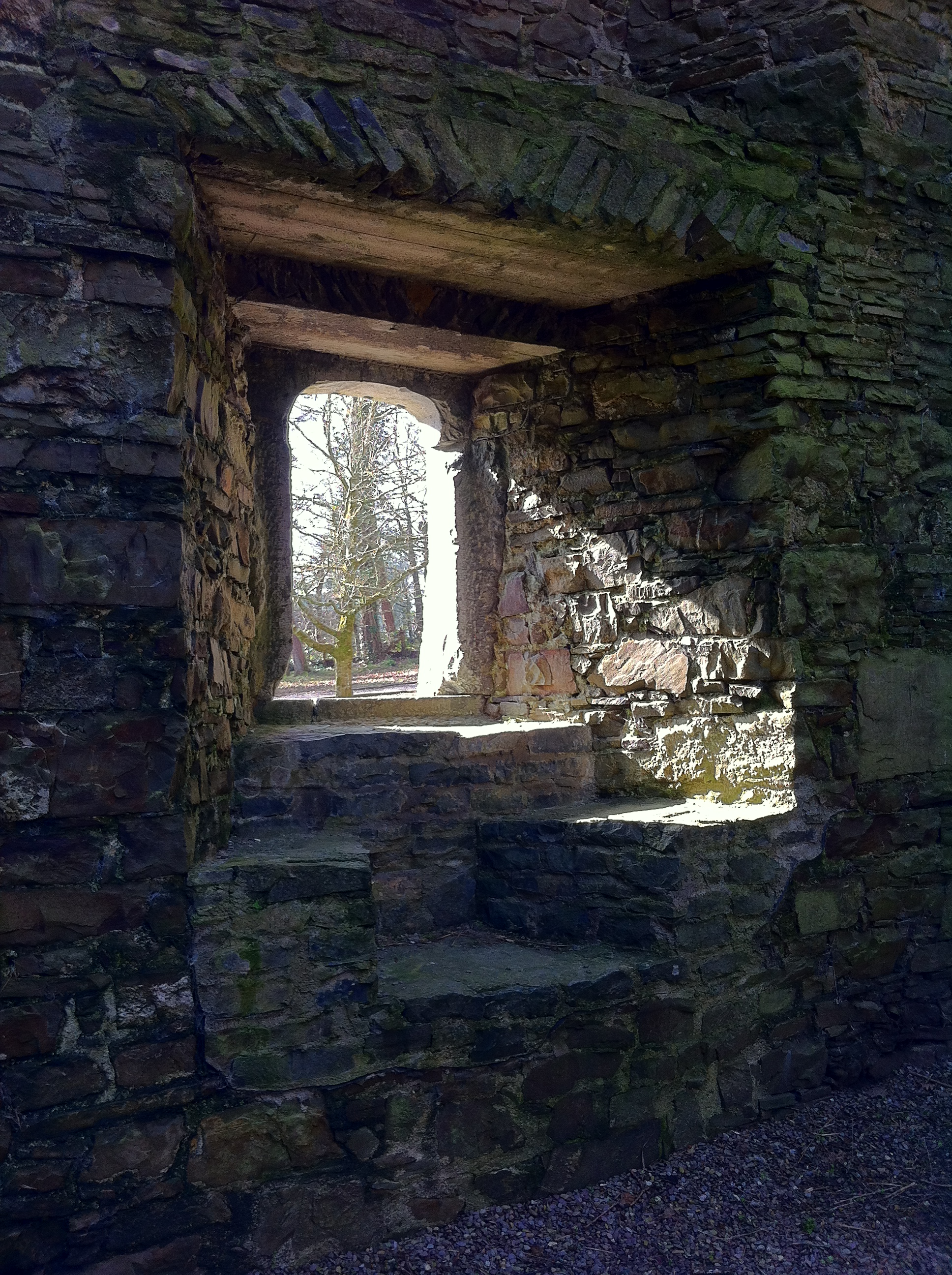
A room with a view at Kanturk Castle, Co. Cork
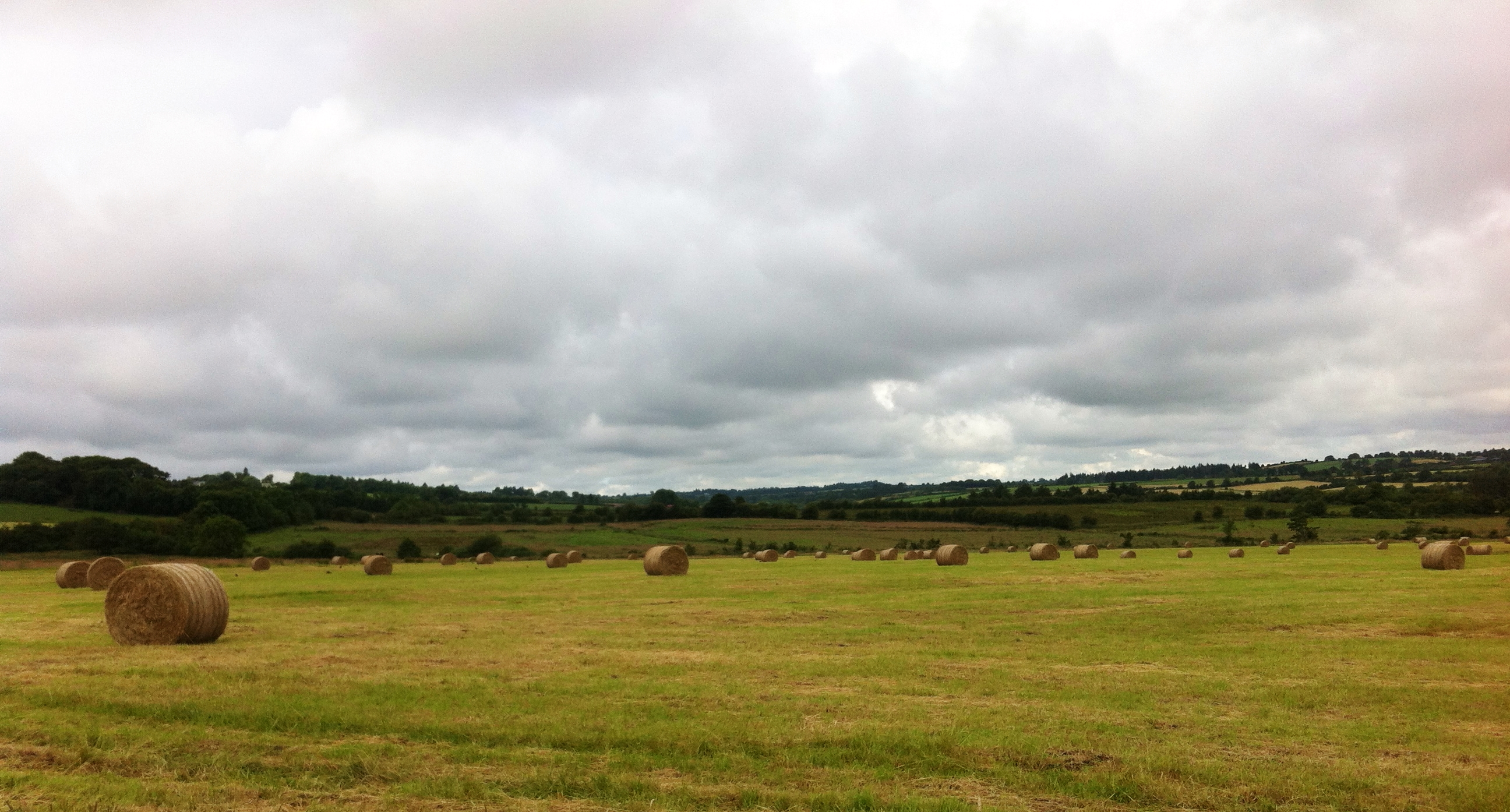
Get those bales in quick!
Watching you watching me
Groundhog Day
Golden leaves
Letter Z
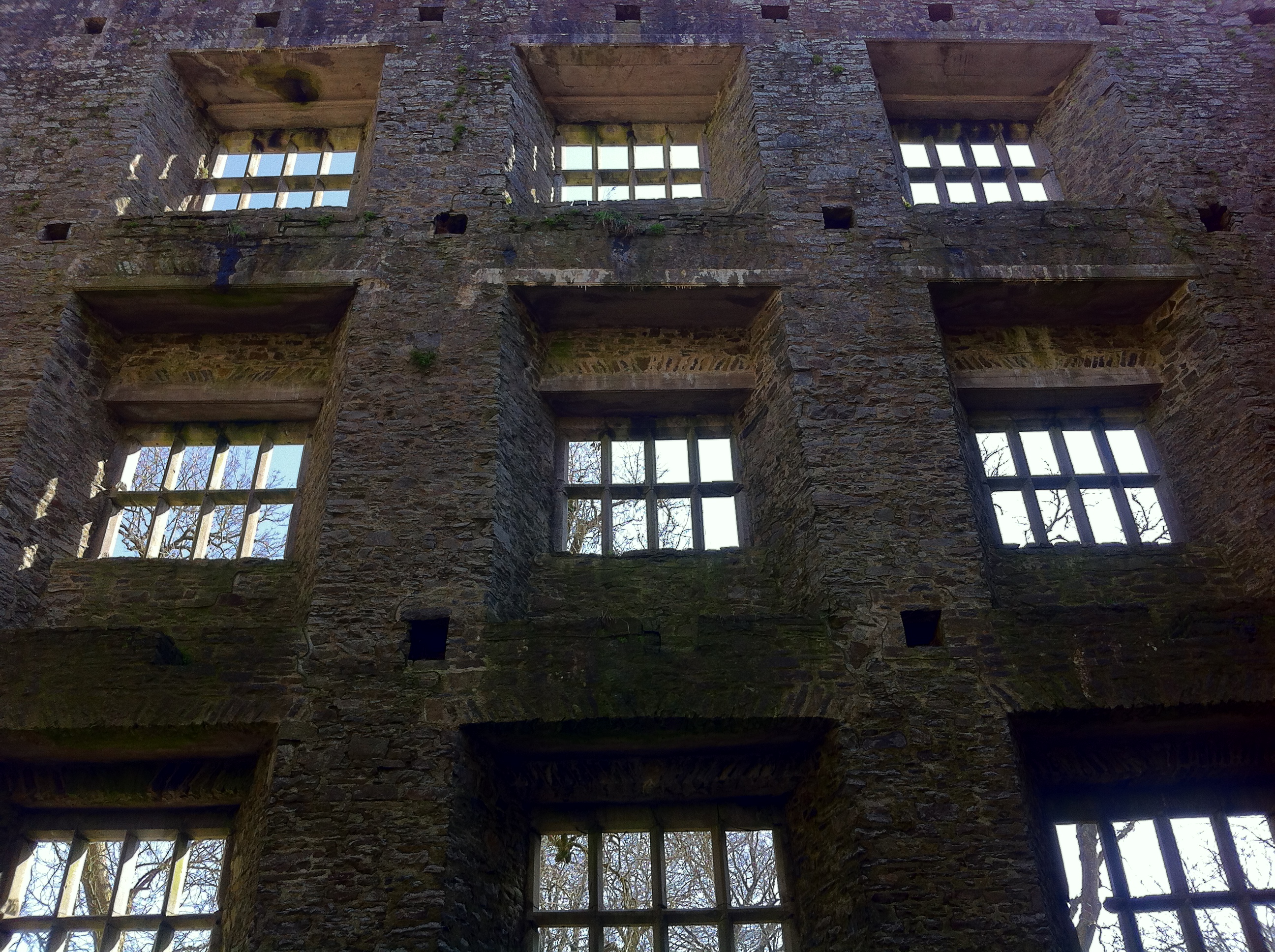
Interior of Kanturk Castle, Co. Cork

Half way between Macroom and Millstreet 4
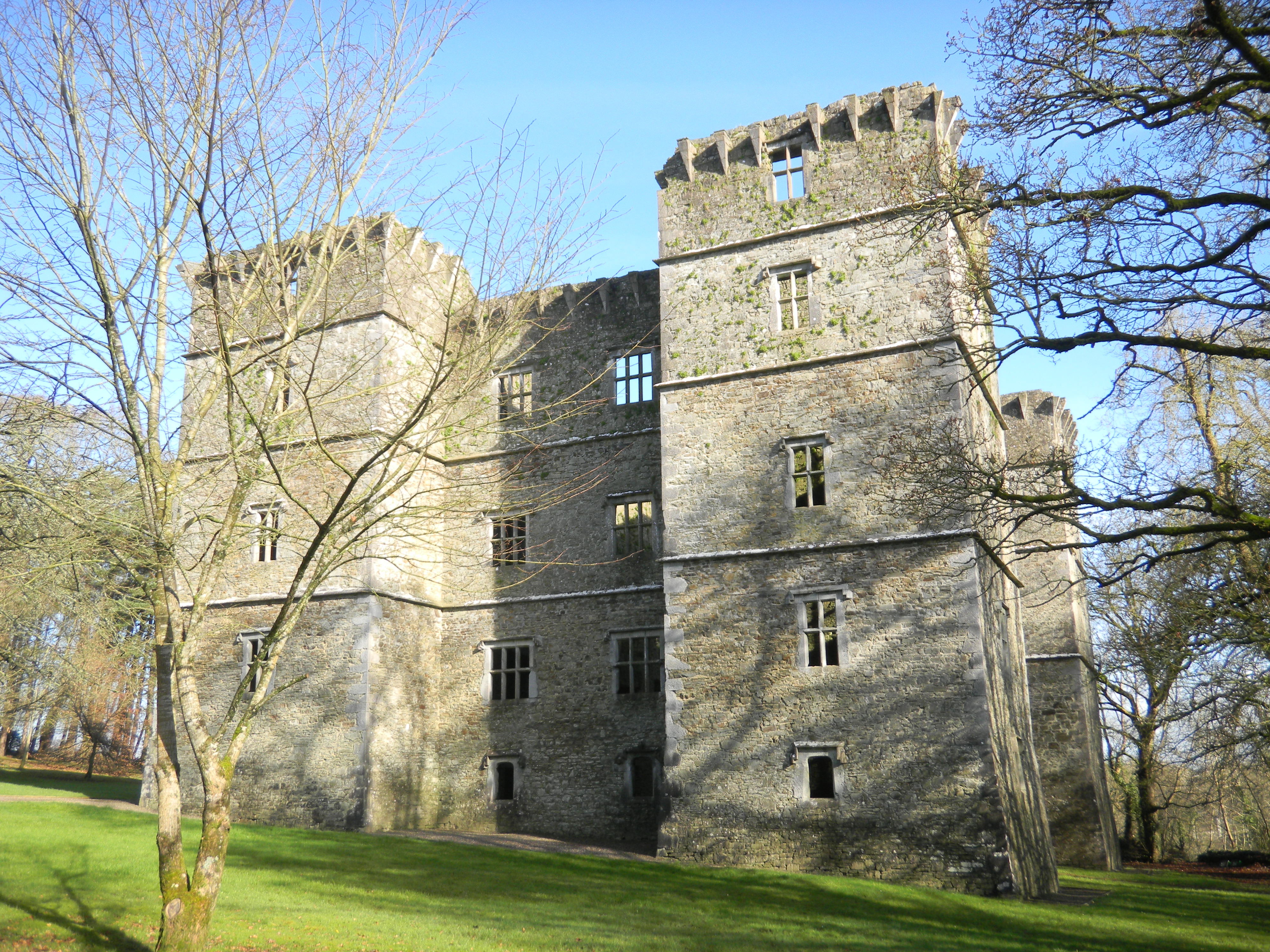
Kanturk Castle
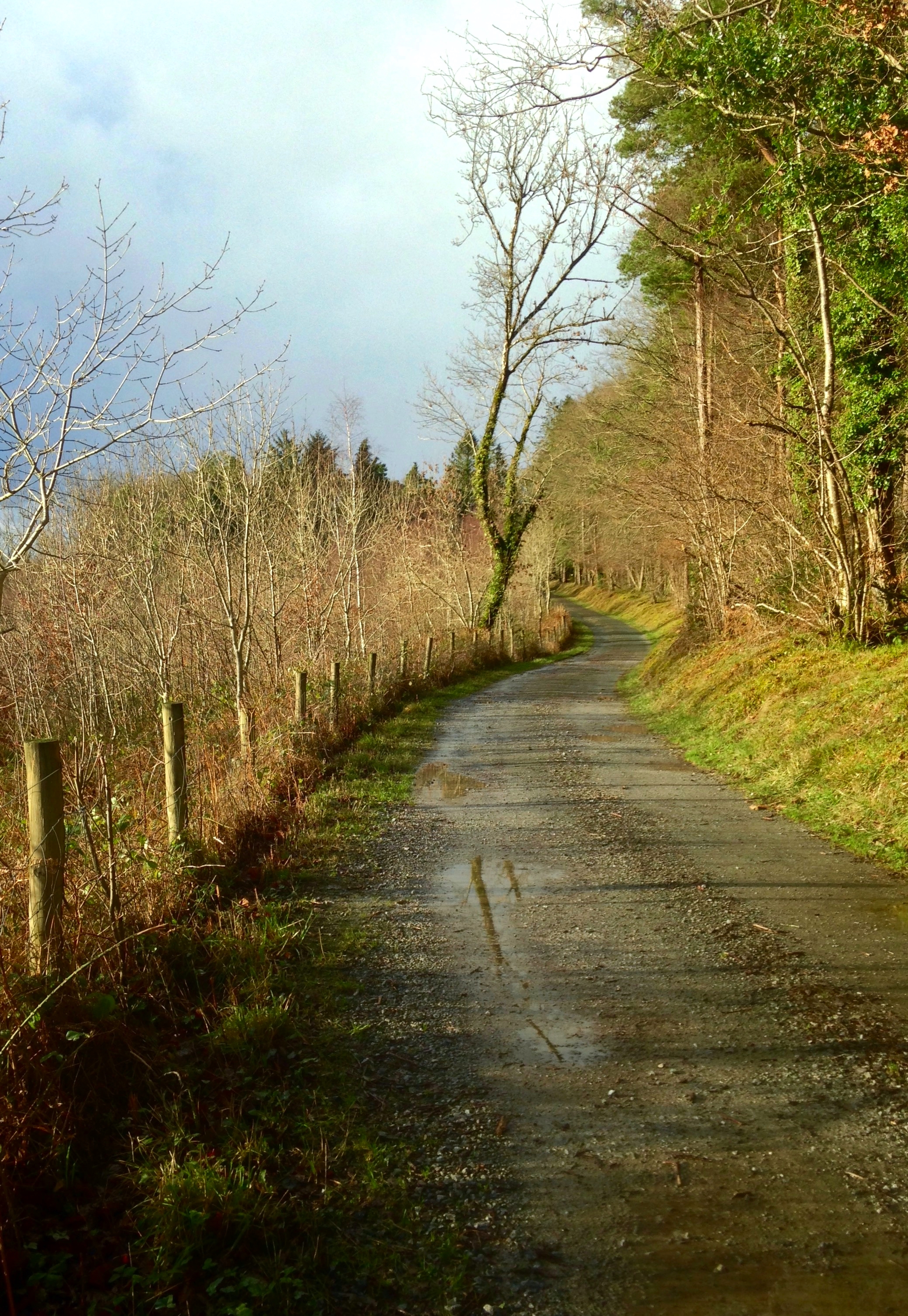
The long and winding road
Half way between Macroom and Millstreet 2
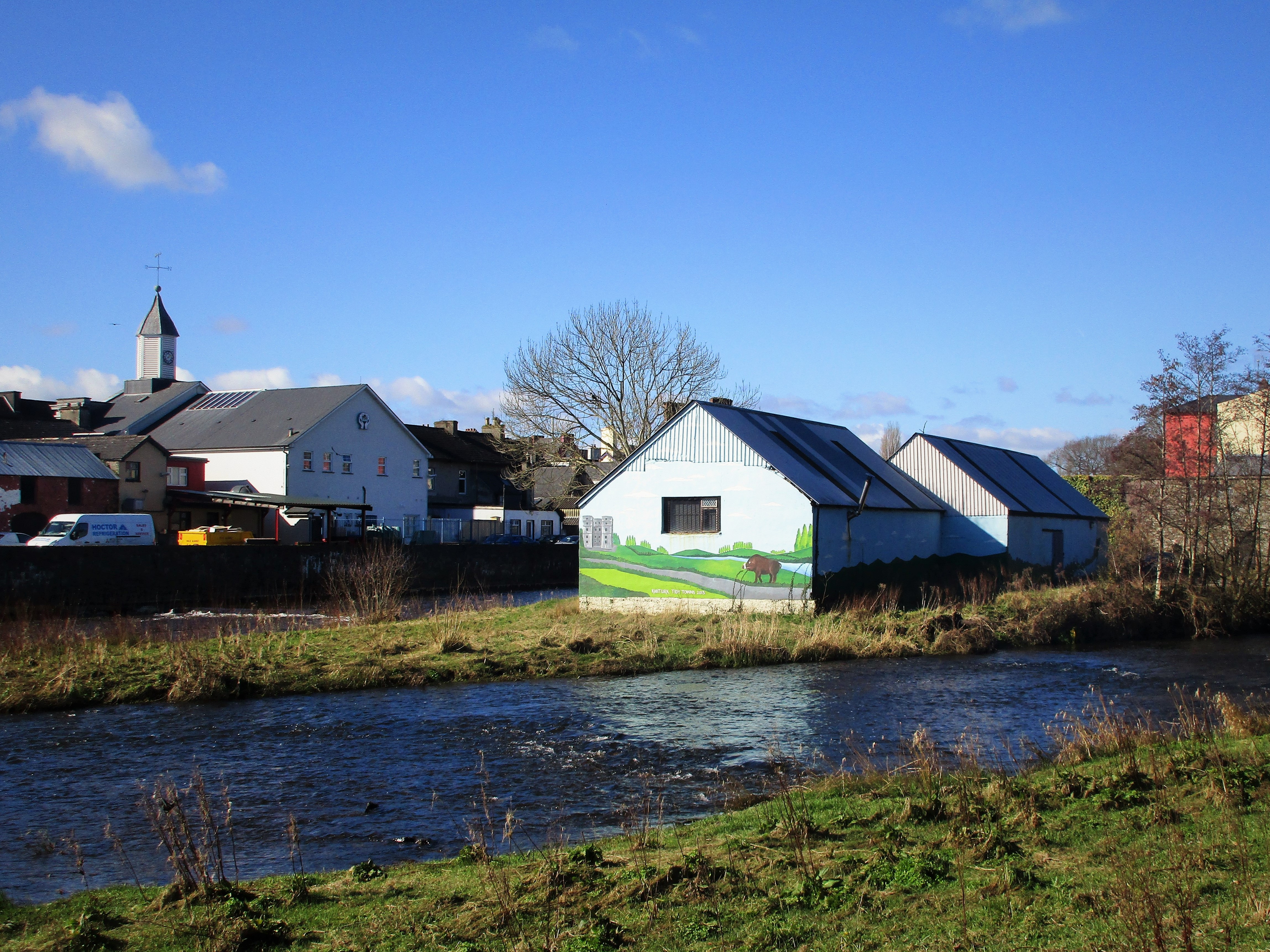
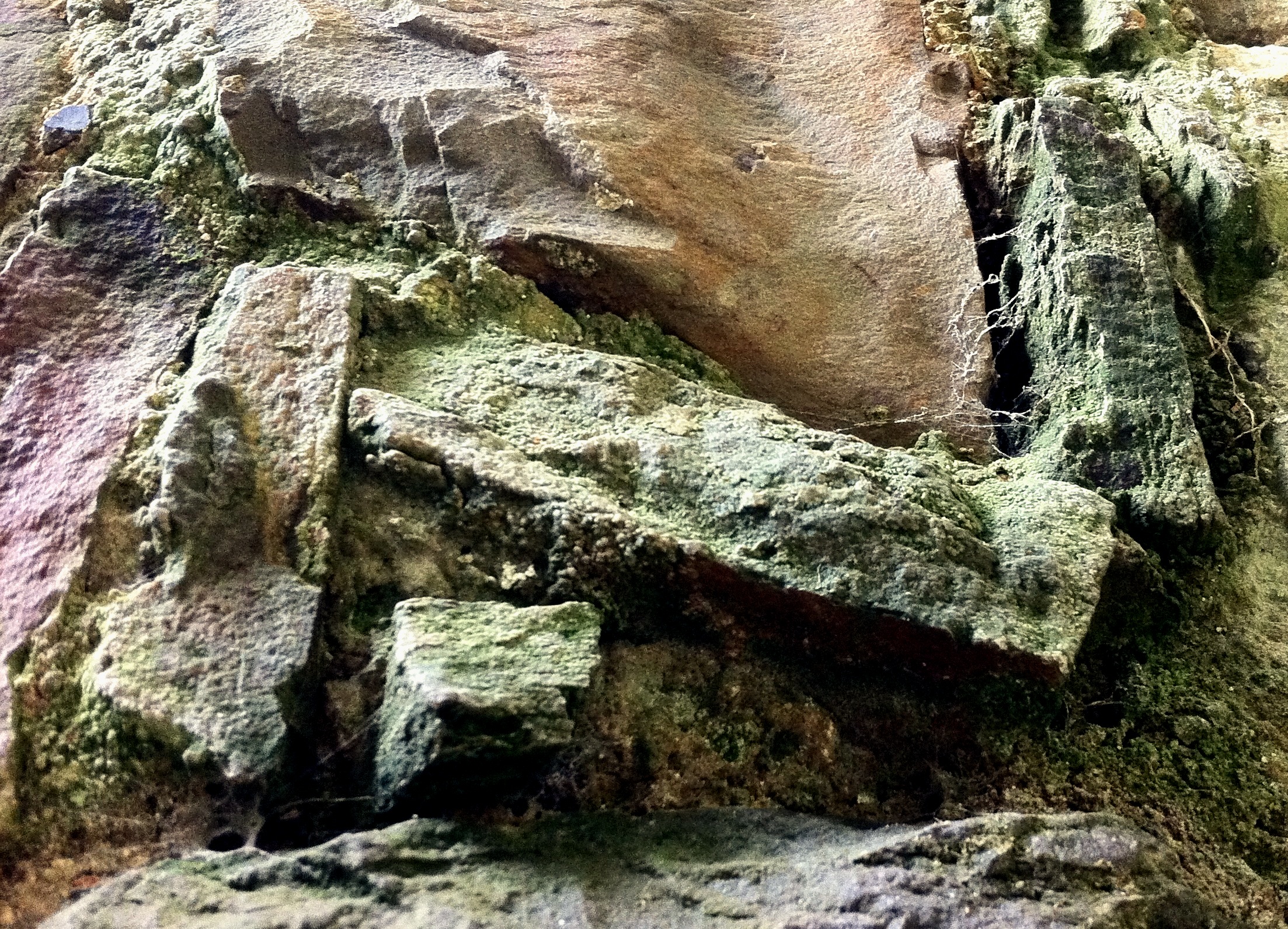
Wild Boar Wall
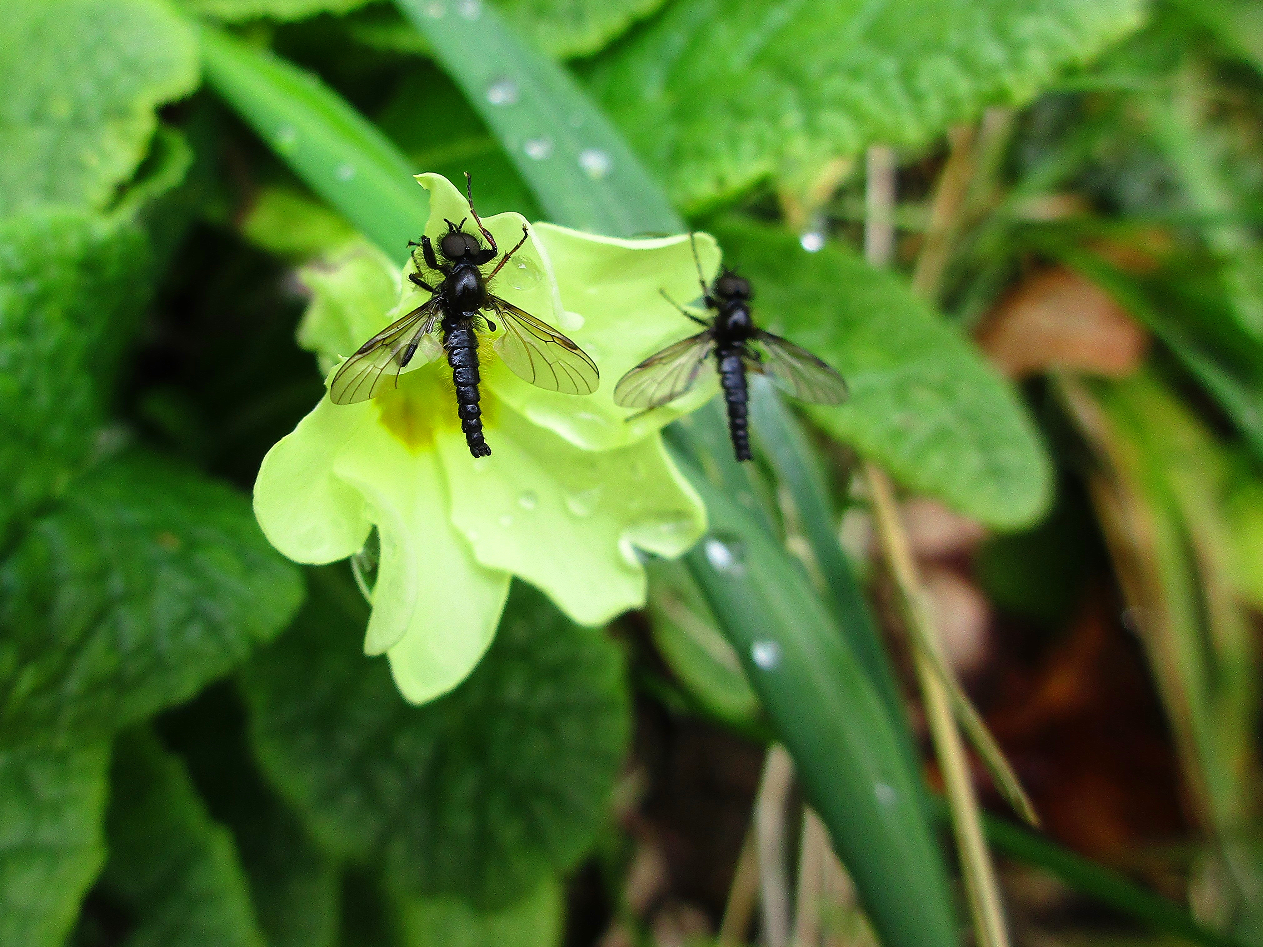
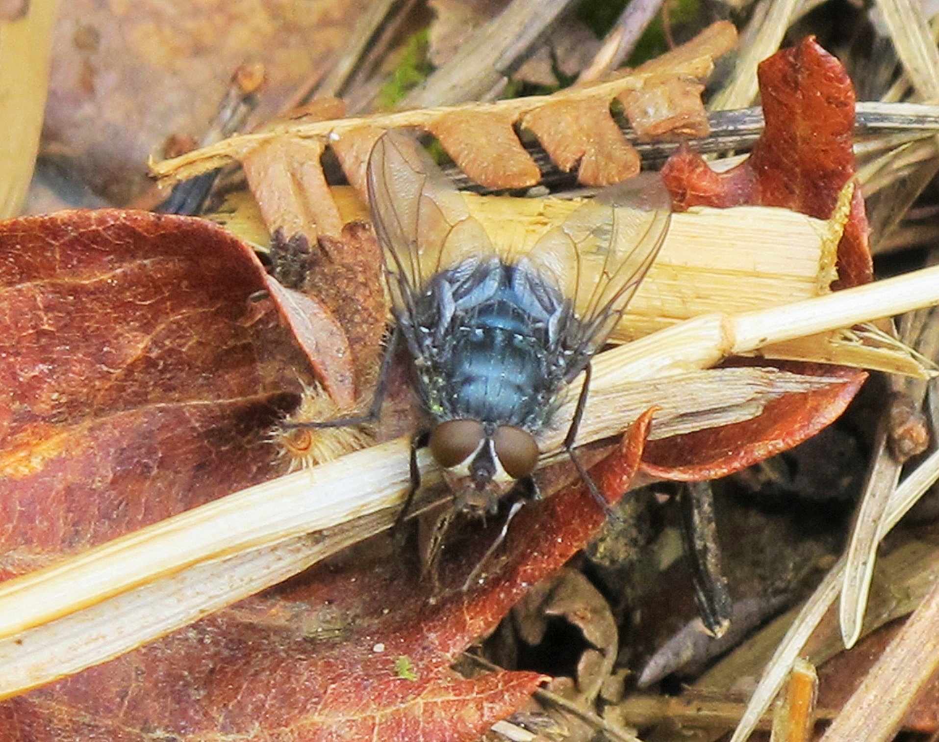
St Mark's Flies
Half way between Macroom and Millstreet 3
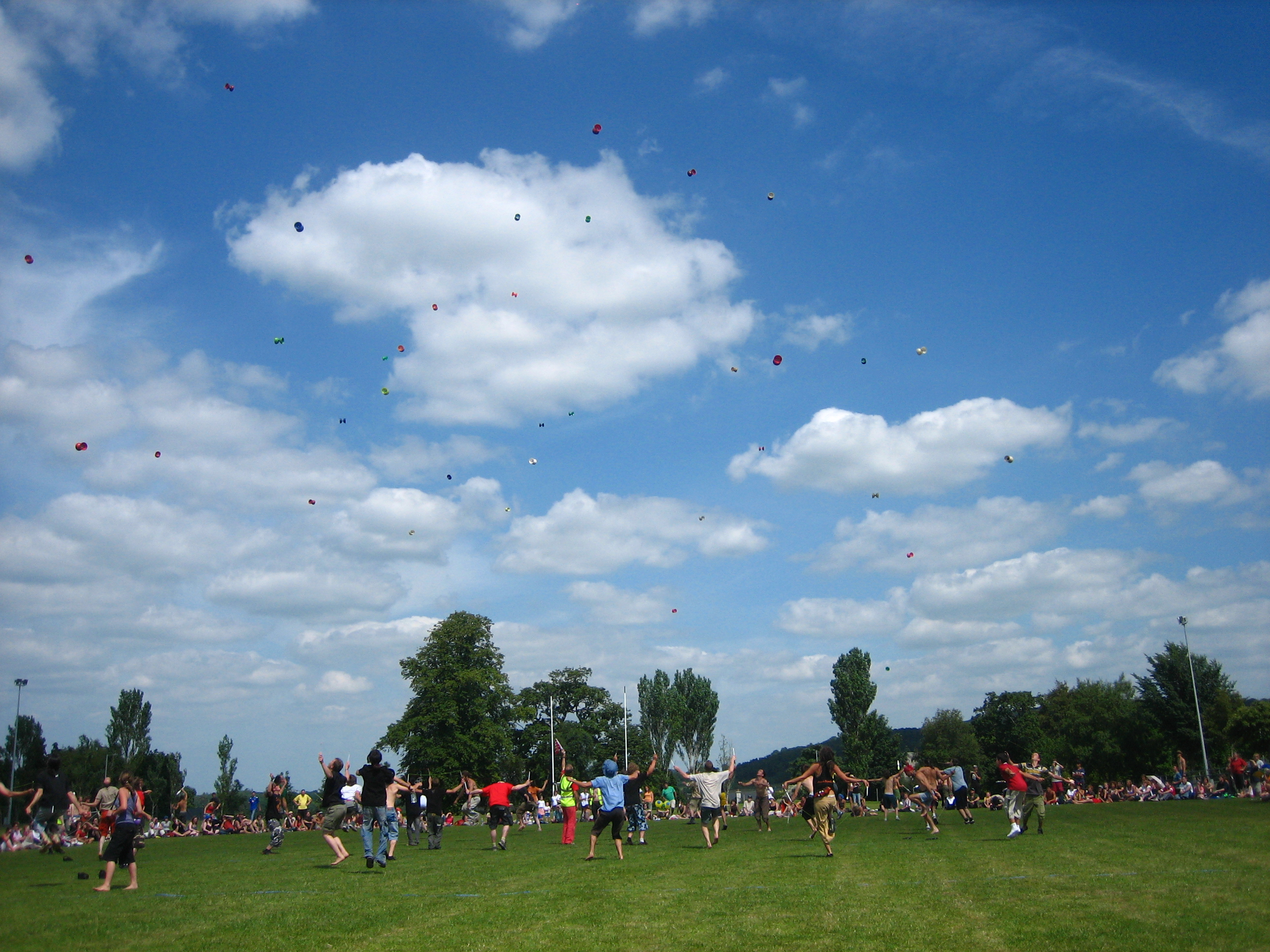
EJC Games (16)

IrelandDay3_111-

IrelandDay3_108-

IrelandDay3_165-
Dappled Sunlight
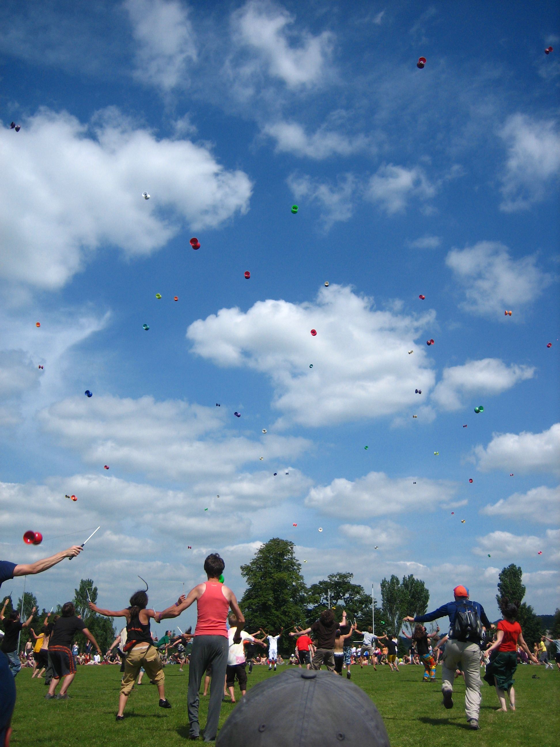
EJC Games (14)

Ballinagree panorama, Co. Cork

IrelandDay3_088-
IMG_3187 Musheramore. 16th April 2015.
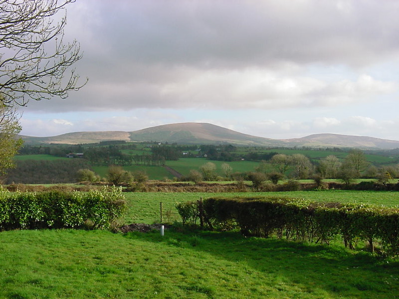
Boggeragh Mountains
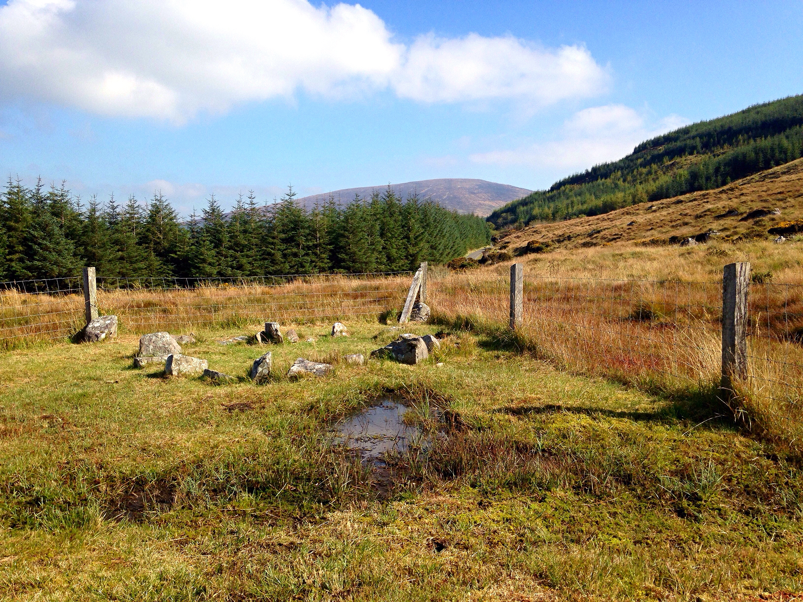
Knocknakilla stone circle (3)
Topographic Map of Donoure West, Co. Cork, Ireland
Find elevation by address:

Places in Donoure West, Co. Cork, Ireland:
Places near Donoure West, Co. Cork, Ireland:
8 Cnoc Na gCapall, Mallow, Rathcool, Co. Cork, Ireland
Rathcool
R579
Coolroebeg
536v+9m
Twomey's Butchers
Newmarket
Newmarket
Scarteen Lower
Clashroe
Meelin
Tullylease
Tullylease
Park
1 Church View
Shinnagh
Knocknagree
Rathmore
Castleishon House
Acres
Recent Searches:
- Elevation of Unnamed Road, Respublika Severnaya Osetiya — Alaniya, Russia
- Elevation of Verkhny Fiagdon, North Ossetia–Alania Republic, Russia
- Elevation of F. Viola Hiway, San Rafael, Bulacan, Philippines
- Elevation of Herbage Dr, Gulfport, MS, USA
- Elevation of Lilac Cir, Haldimand, ON N3W 2G9, Canada
- Elevation of Harrod Branch Road, Harrod Branch Rd, Kentucky, USA
- Elevation of Wyndham Grand Barbados Sam Lords Castle All Inclusive Resort, End of Belair Road, Long Bay, Bridgetown Barbados
- Elevation of Iga Trl, Maggie Valley, NC, USA
- Elevation of N Co Rd 31D, Loveland, CO, USA
- Elevation of Lindever Ln, Palmetto, FL, USA