Elevation of Dongshan District, Tainan City, Taiwan
Location: Taiwan > Tainan City >
Longitude: 120.447285
Latitude: 23.2825014
Elevation: 126m / 413feet
Barometric Pressure: 100KPa
Elevation Map:
Satellite Map:
Related Photos:
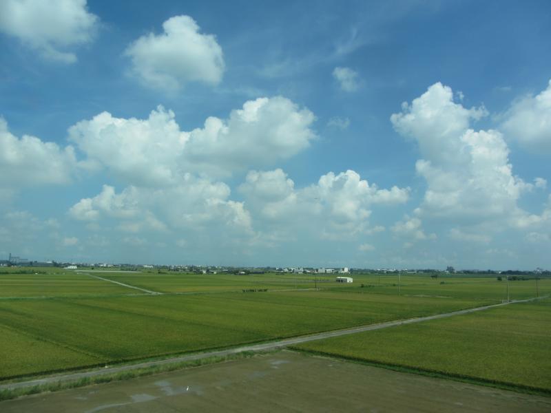
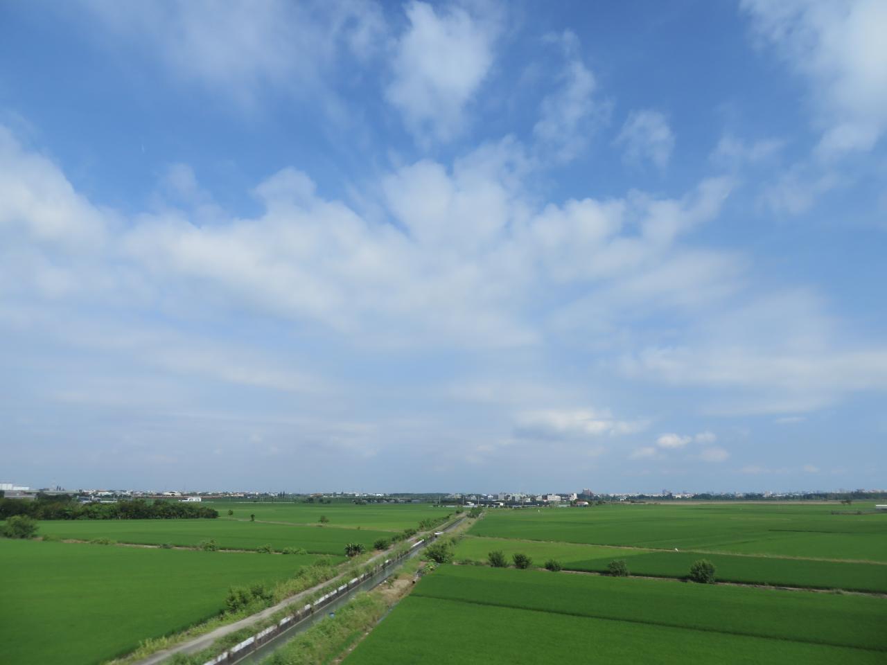
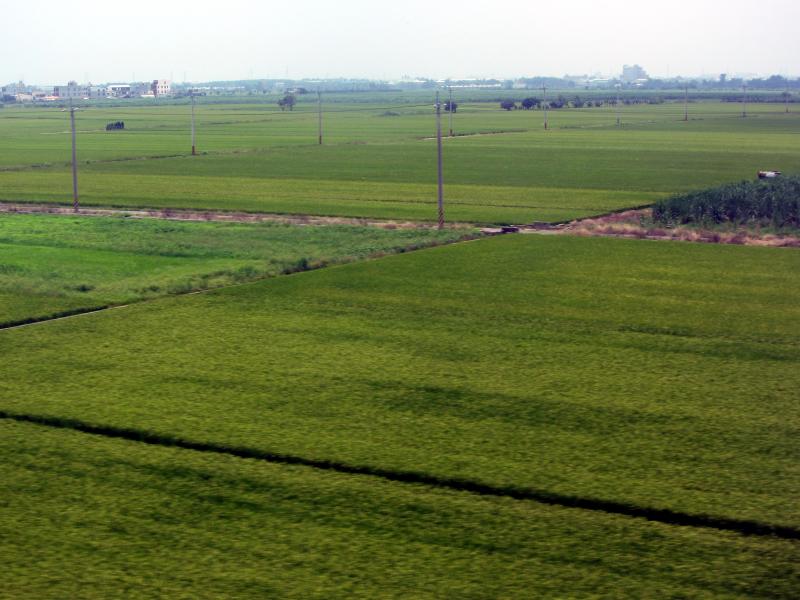
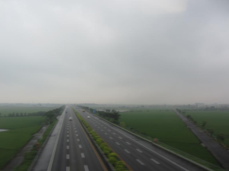
View From THSR Window

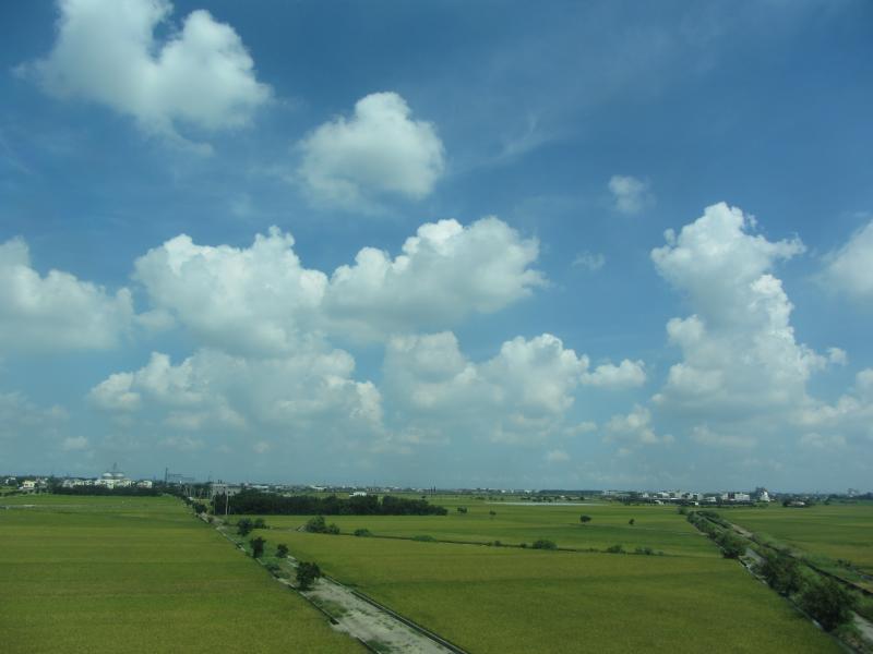
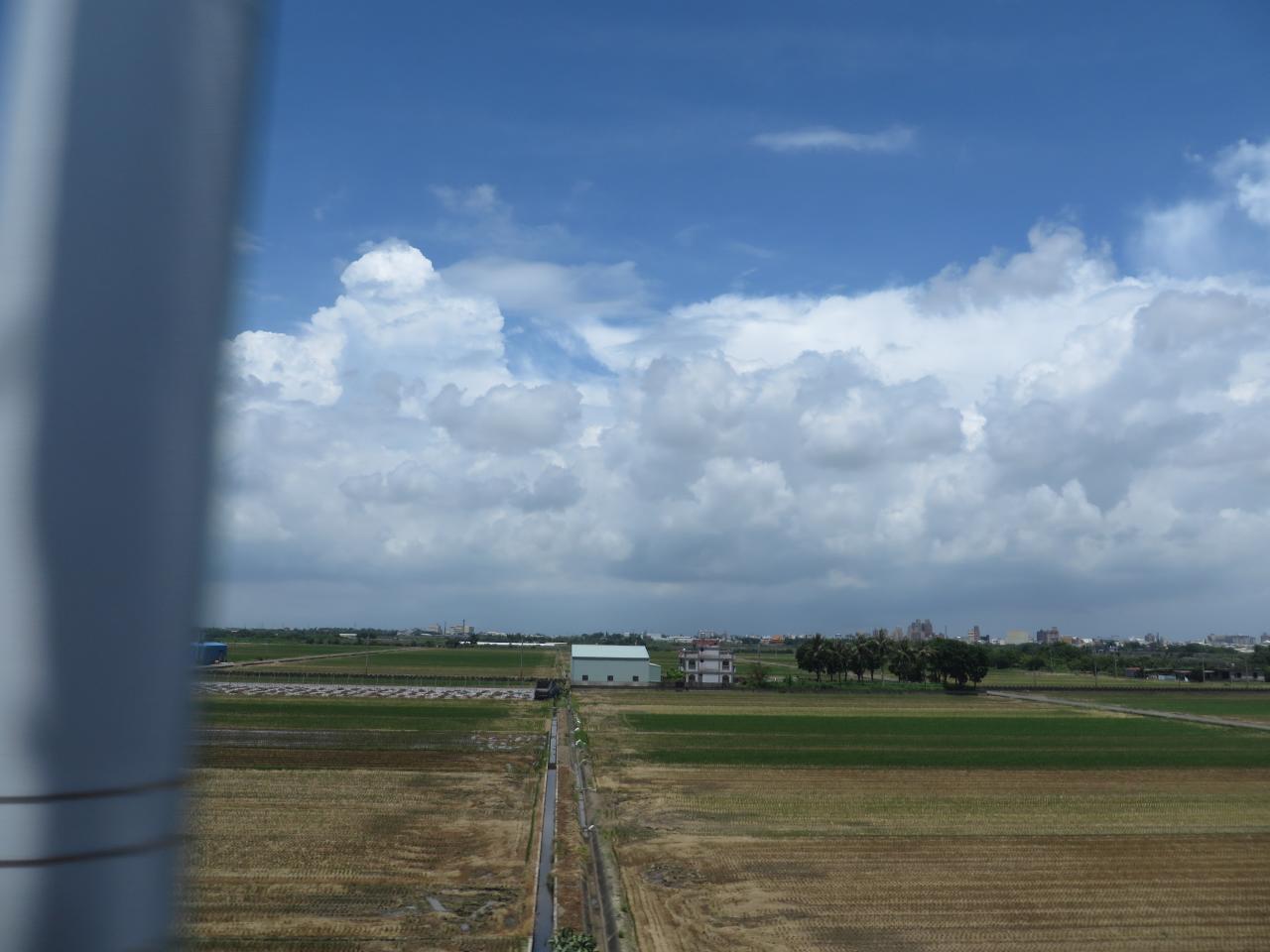
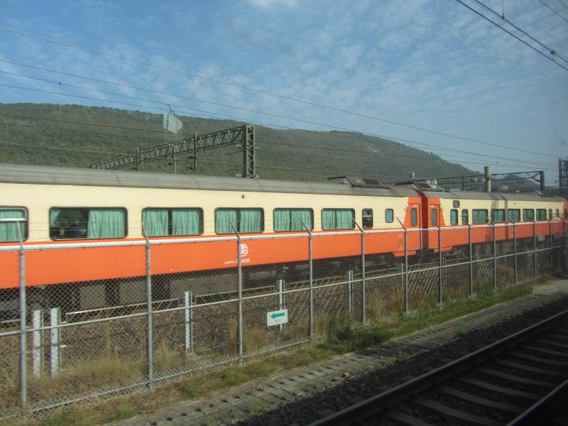
View From THSR Window
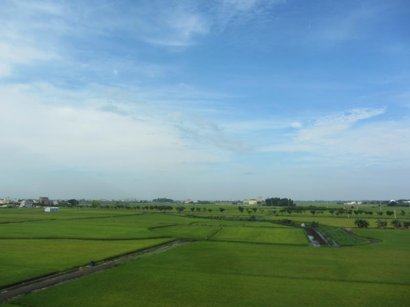
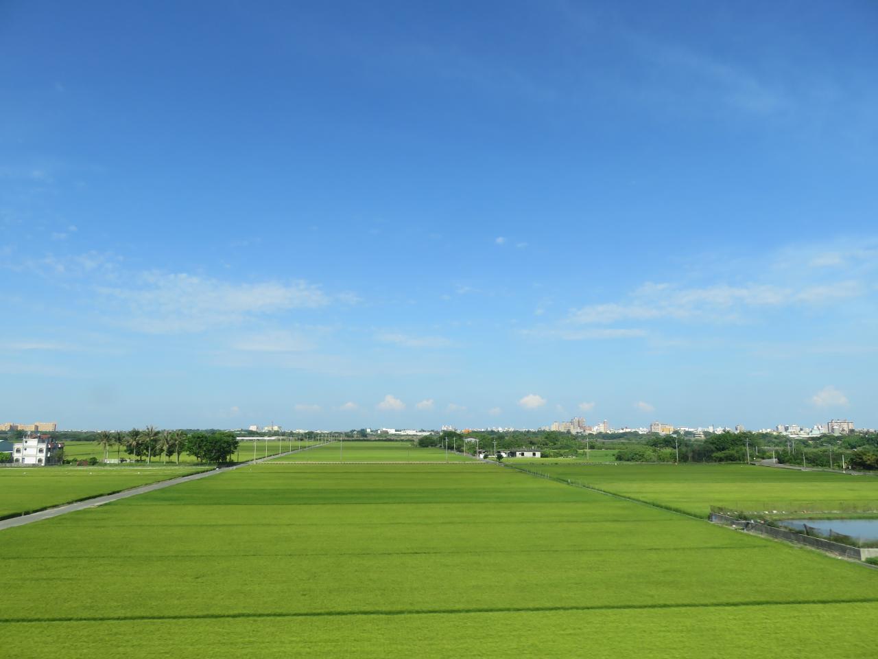
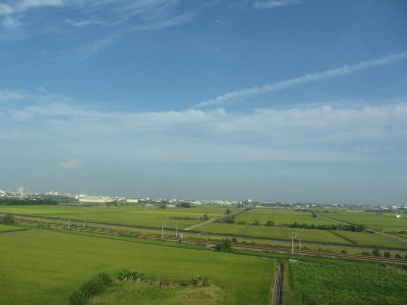
View From THSR Window
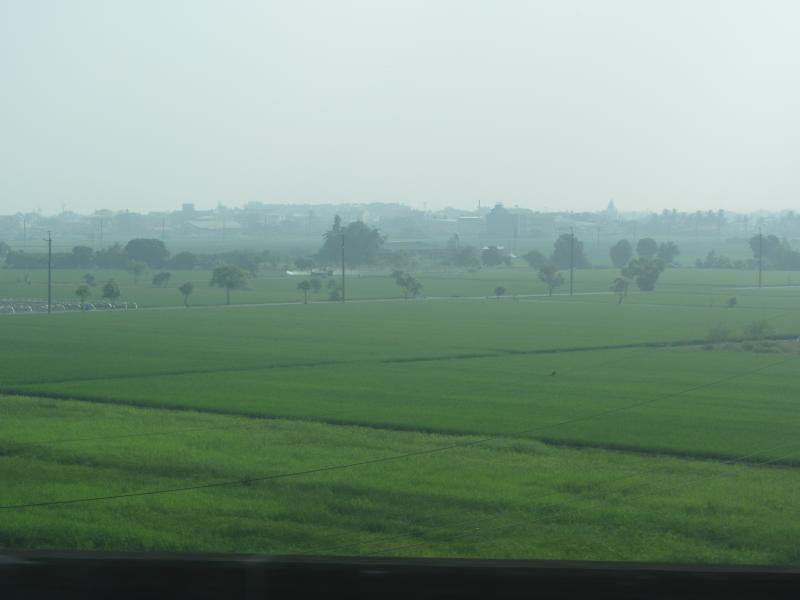
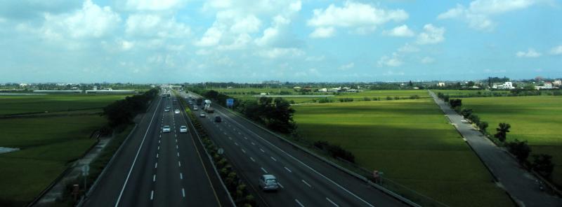
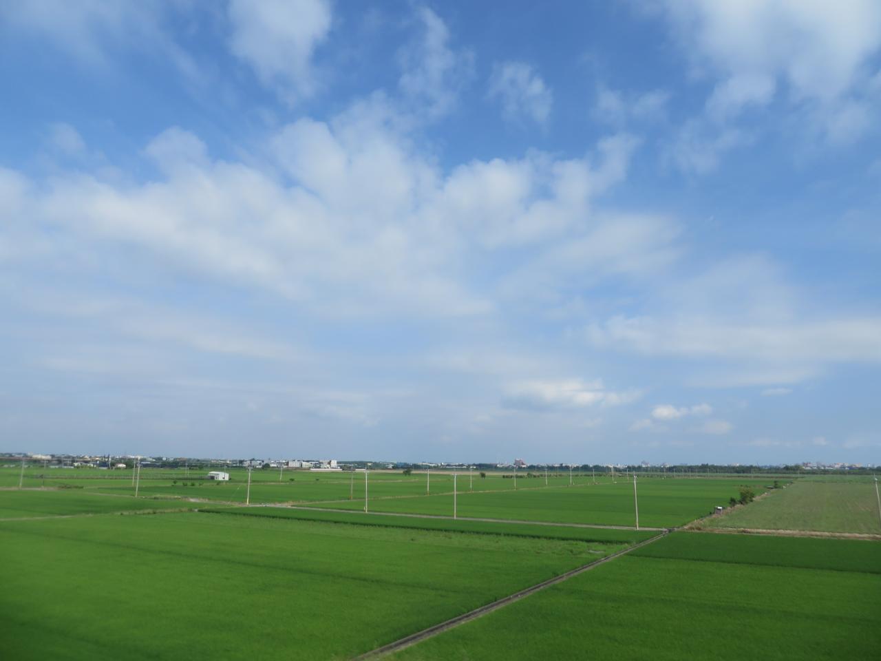
View From THSR Window
View From THSR Window

View From THSR Window

View From THSR Window

View From THSR Window
View From THSR Window
View From THSR Window

View From THSR Window

View From THSR Window
View From THSR Window
View From THSR Window
View From THSR Window
View From THSR Window
View From THSR Window

荷在雨中
View From THSR Window
View From THSR Window

National Highway 1 Sunset

珍惜~~(有種顧目睛的TONE調!!

很有 Fu 的田
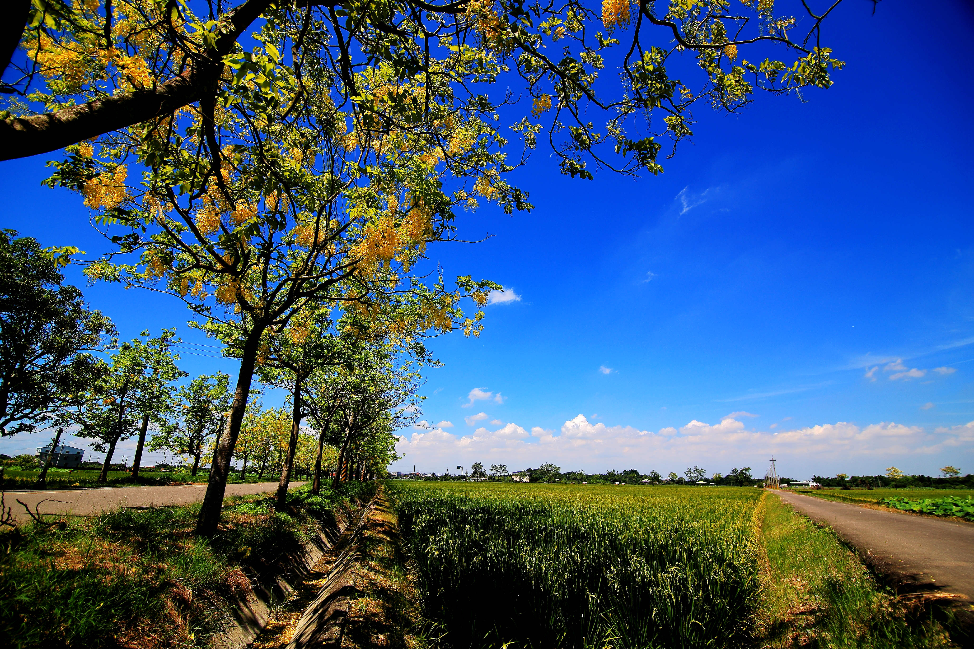
初夏的阿勃勒盛會

白河朝荷/Lotus with Sunrise

白河+玉井一曰遊

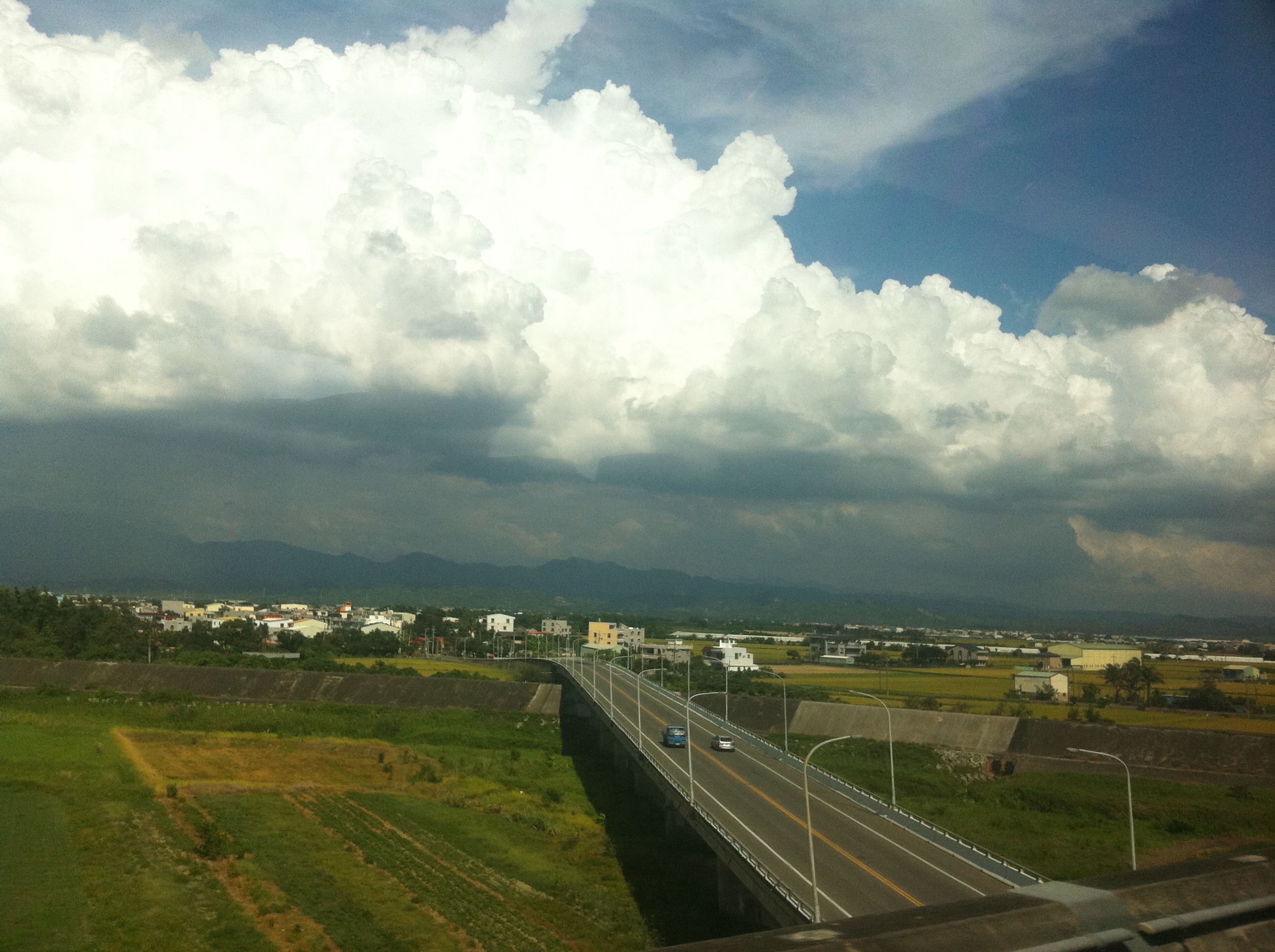
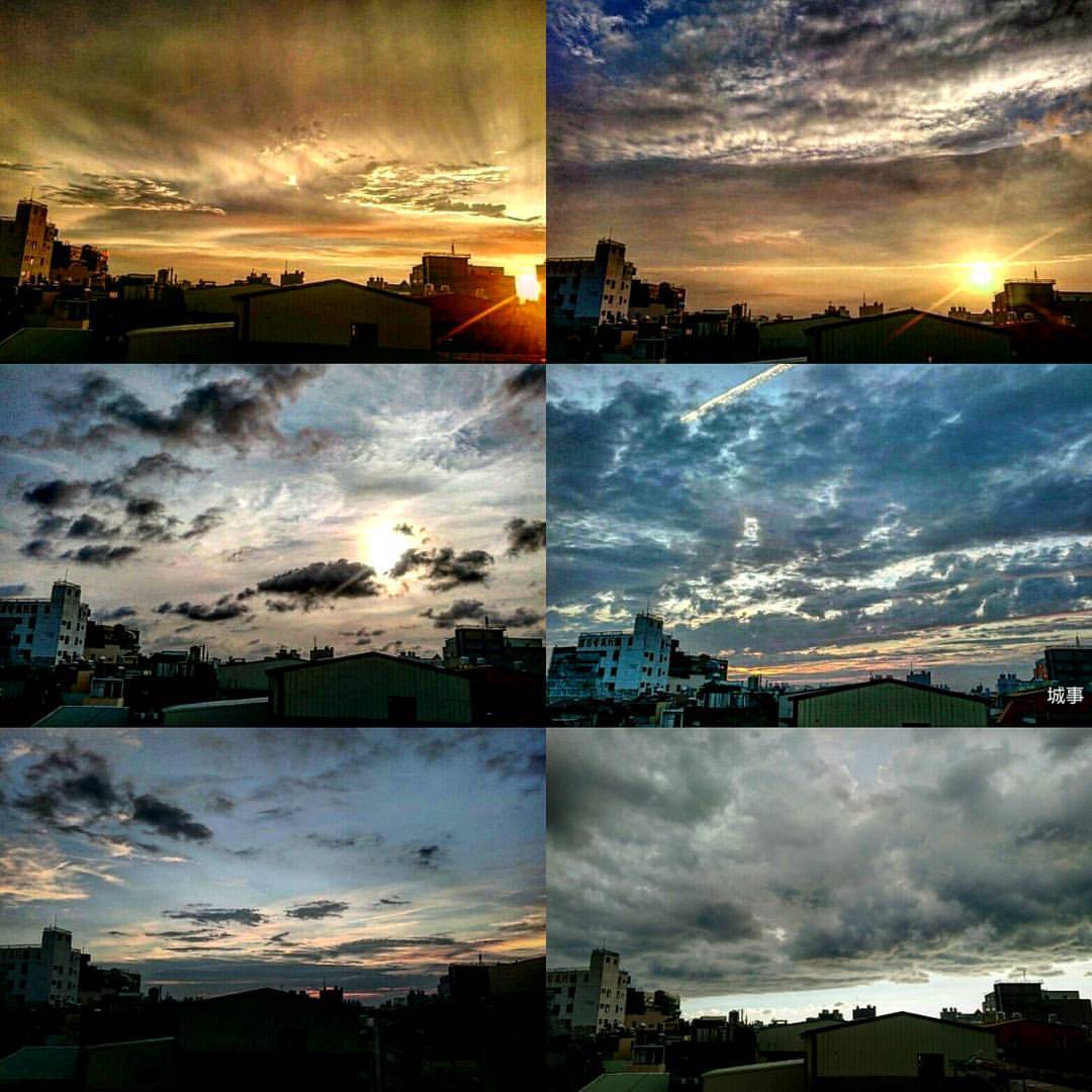
夏季雲

IMG_3527-1

TW2013_1230-12-164

IMG_8725.JPG
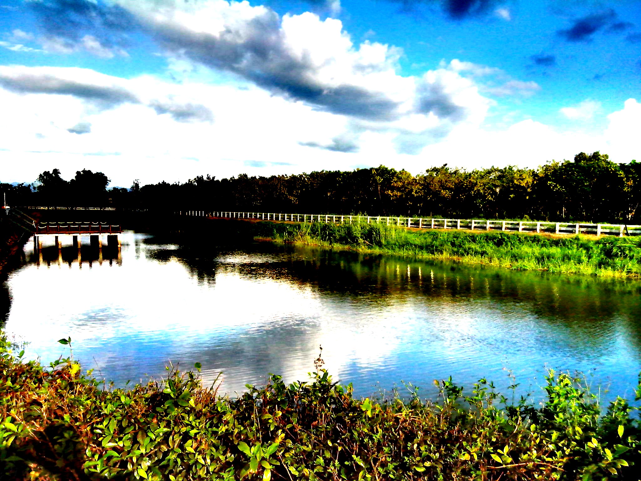
6-12-2011 15-11-00
20140623柳營荷蘭村
#夕陽#黄昏#城市#新營#台南#台灣 #sunset#city#xinying#tainan#taiwan 捕捉夕陽

IMG_8726.JPG
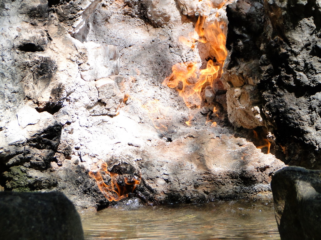
關子嶺-水火同源

IMG_0160.JPG

白河+玉井一曰遊

IMG_0543.JPG
Topographic Map of Dongshan District, Tainan City, Taiwan
Find elevation by address:

Places in Dongshan District, Tainan City, Taiwan:
Places near Dongshan District, Tainan City, Taiwan:
Taiwan, Tainan City, Baihe District, 37
六溪里
崁頭里
Baihe District
關嶺里
Taiwan, Tainan City, Baihe District, 36
大林里
崁子頭
43-10
122-1
No., Zhongxing N St, Dongshan District, Tainan City, Taiwan
1-26
Taiwan, Tainan City, Baihe District, 63
虎山里
No., Section 1, Yishi Rd, Liuying District, Tainan City, Taiwan
關嶺里
107-5
永安里
仙草里
No. 7, Xinsheng Rd, Baihe District, Tainan City, Taiwan
Recent Searches:
- Elevation of Steadfast Ct, Daphne, AL, USA
- Elevation of Lagasgasan, X+CQH, Tiaong, Quezon, Philippines
- Elevation of Rojo Ct, Atascadero, CA, USA
- Elevation of Flagstaff Drive, Flagstaff Dr, North Carolina, USA
- Elevation of Avery Ln, Lakeland, FL, USA
- Elevation of Woolwine, VA, USA
- Elevation of Lumagwas Diversified Farmers Multi-Purpose Cooperative, Lumagwas, Adtuyon, RV32+MH7, Pangantucan, Bukidnon, Philippines
- Elevation of Homestead Ridge, New Braunfels, TX, USA
- Elevation of Orchard Road, Orchard Rd, Marlborough, NY, USA
- Elevation of 12 Hutchinson Woods Dr, Fletcher, NC, USA