Elevation of Dona Ana County International Jetport, Airport Rd, Santa Teresa, NM, USA
Location: United States > New Mexico > Doña Ana County > Santa Teresa >
Longitude: -106.70003
Latitude: 31.875354
Elevation: 1254m / 4114feet
Barometric Pressure: 87KPa
Elevation Map:
Satellite Map:
Related Photos:

Bees and Bradford Pear 5

Yellow-headed Blackbird 2

Snow Covered Franklin Mountains

Bees and Bradford Pear 7

Cactus and Mesquite - Native Plantings along SH 80 near El Paso

View of the Moon in El Paso

State Line Restaurant
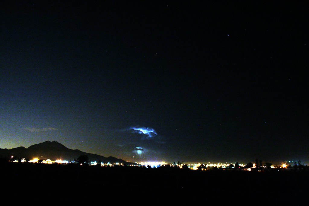
Sunland Park lightning

At #ripe for an early dinner. a view to the right.
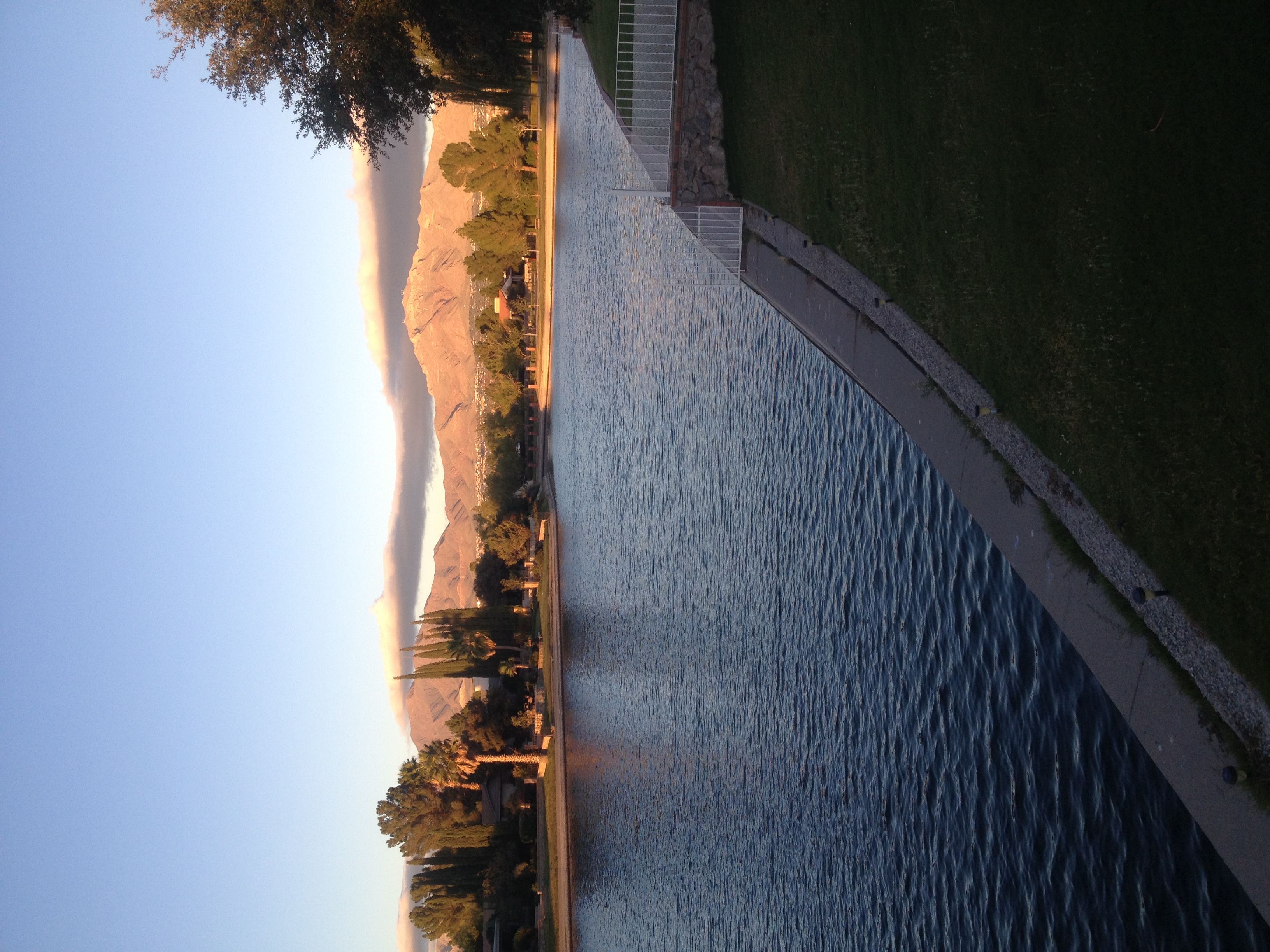
View of the Franklin Mountains from the Willows - El Paso, Texas

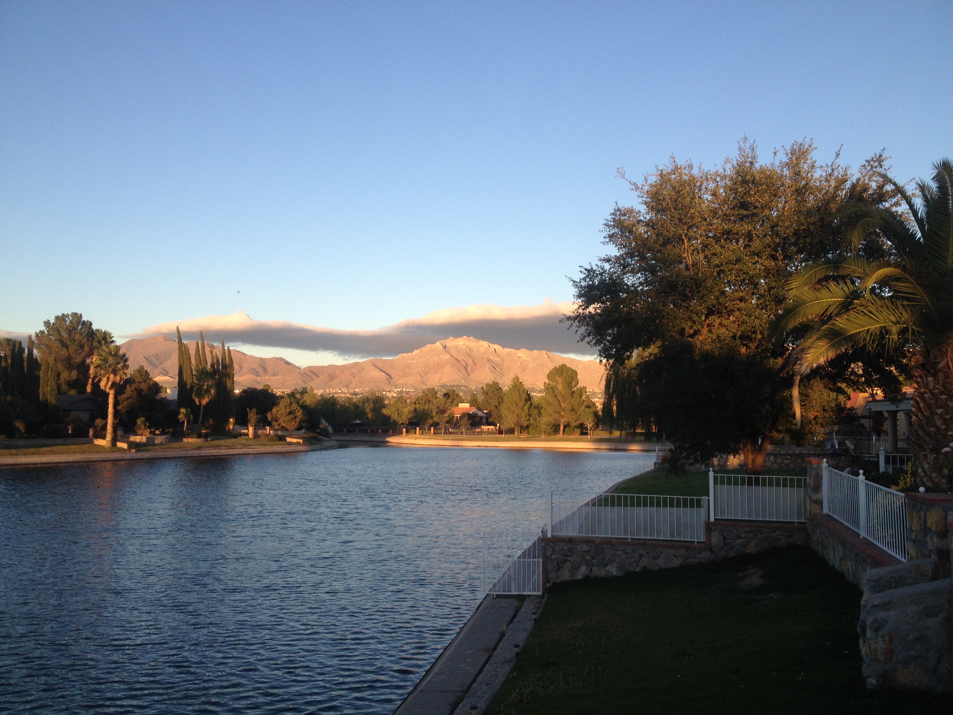
View of the Franklin Mountains from the Willows - El Paso, Texas

West side lightning storm
Dusk in El Paso

Last night's lightning storm

Lightning storm over Franklins

Snowy Winter view in Fall
Side View

Best Buy in El Paso, Texas viewed from I-10

Dusk in El Paso
Along the Rio Grande, El Paso [2017-12-29 16.27.54]

Desert Fantasy 1

All Against The Wall

Mnt. Cloud Crest

Keystone Heritage Park, El Paso, Texas

View of the Franklin Mountains from the Willows - El Paso, Texas

#Sunrise in #ElPaso #Texas! @herrerafluis @ruben_prado @mzblook #landscape #natgeo @cntraveler

Golden glow spreads

El Paso
It pays to look up

Rio Grande
Transmountain Pass Snow

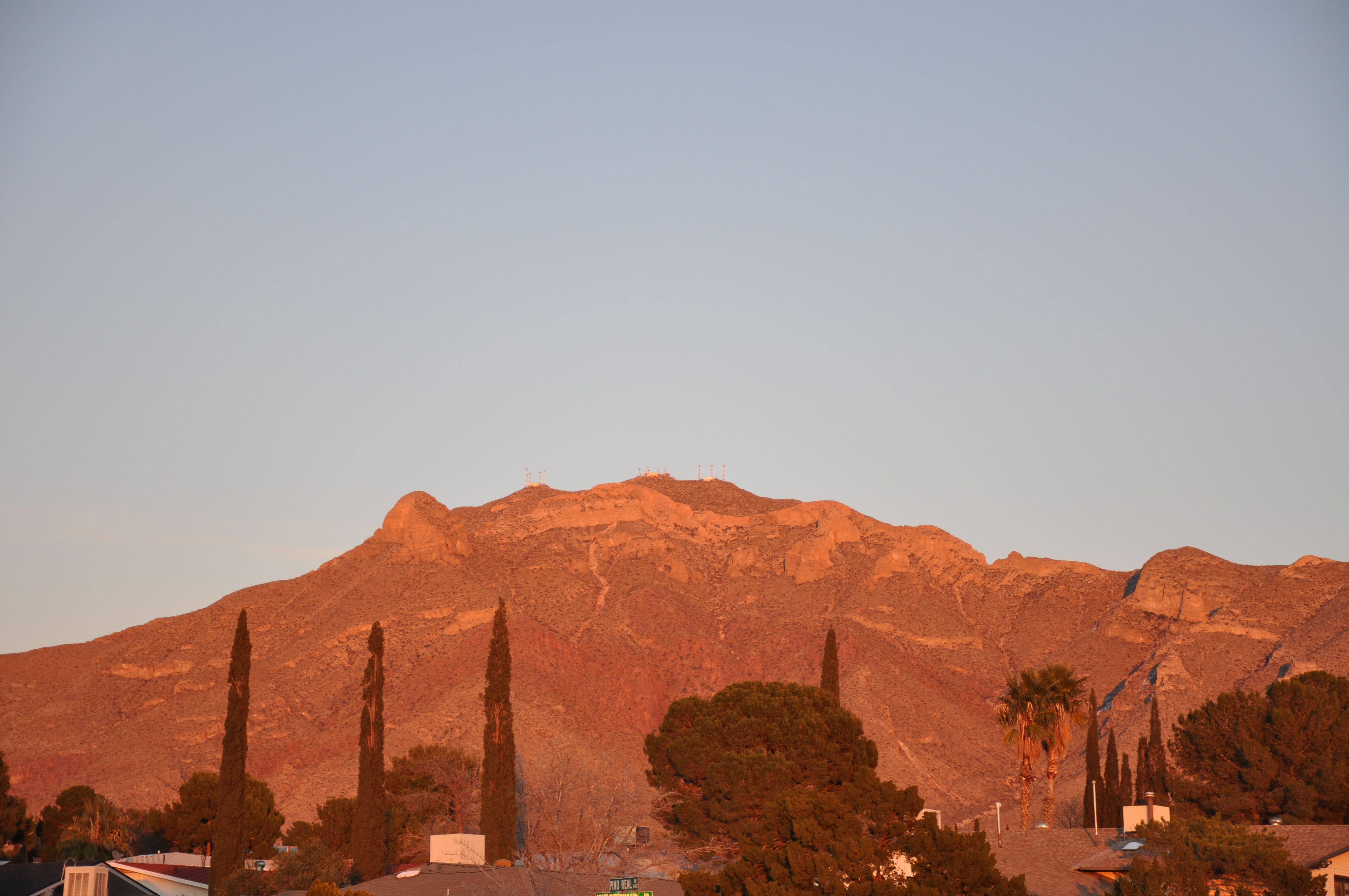
Franklin Mountains

Franklin Mountains

Lacy seed heads against the snow

Cotton Bolls
Glow reaching to the southeast

Sunset in the wetlands

Ducks on the Rio Grande
View of the Franklin Mountains from the Willows - El Paso, Texas
Topographic Map of Dona Ana County International Jetport, Airport Rd, Santa Teresa, NM, USA
Find elevation by address:

Places near Dona Ana County International Jetport, Airport Rd, Santa Teresa, NM, USA:
Santa Teresa
Apache Gold Loop, Santa Teresa, NM, USA
1092 Dona Beatriz Cir
West Valley
6436 Passo Via St
6305 Joel King Pl
525 Via De Los Arboles
Valley Creek South
Valley Creek North
Las Flores St, Sunland Park, NM, USA
Hunters Glenn Street
460 Casa Roja Dr
801 Live Oak Dr
East Bank
Doniphan Dr, El Paso, TX, USA
Canutillo
Portsmouth
708 Waltham Ct
Country Club
Sunglass Hut
Recent Searches:
- Elevation of Sieveringer Straße, Sieveringer Str., Wien, Austria
- Elevation of Bratskaya Ulitsa, 24, Kurgan, Kurganskaya oblast', Russia
- Elevation of Paradisvegen, Biri, Norway
- Elevation of Crystal Cir, Birmingham, AL, USA
- Elevation of N Railroad Ave, West Palm Beach, FL, USA
- Elevation of 55 Cassick Valley Rd, Wellfleet, MA, USA
- Elevation of Ironwood Dr, Minden, NV, USA
- Elevation of 高尾山口駅, Takaomachi, Hachioji, Tokyo -, Japan
- Elevation of 15 Victory Ave, Greenville, SC, USA
- Elevation of Kota Ternate Utara, Ternate City, North Maluku, Indonesia