Elevation of Dolores (Hacienda Dolores), Porac, Pampanga, Philippines
Location: Philippines > Central Luzon > Pampanga > Porac >
Longitude: 120.510637
Latitude: 15.1217159
Elevation: 220m / 722feet
Barometric Pressure: 99KPa
Elevation Map:
Satellite Map:
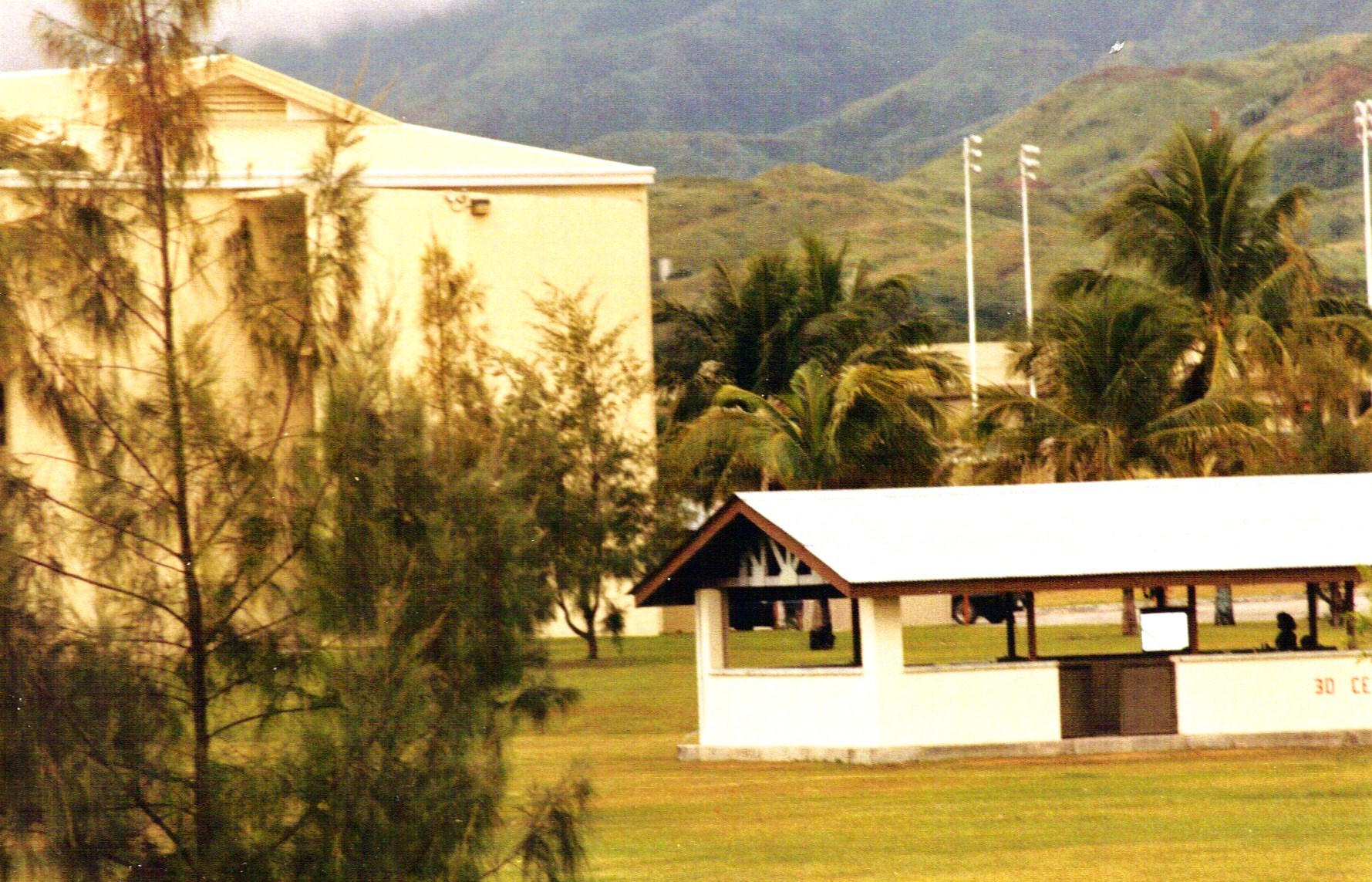
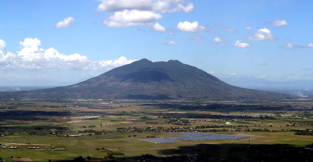
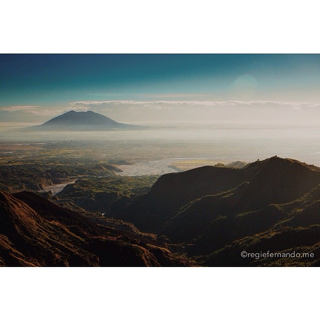
Related Photos:

Father and Son

Over Balibago, AC @ 1,178'

#Porac view #aerial #aerialphotography #tekgik #imagesmithph #work #pipho #pampanga #asia #philippines #travel #tour #trip #nature #mountains #earth #archive

Major Upgrade

The Majestic Mount Arayat

room view Ang Cty 6-8-17

Over Angeles City At 930'

Room, Ang Cty 6-8-17 3

Angeles City

Vidya Gaemz

Misty Mt. Arayat

View from the SM Mall Clark

A Majestic Mount Arayat View

Majestic Mt. Arayat

Up to Angeles #2

Majestic Mt. Arayat

VPB-119, Crew 12, Enlisted
Clark2-8-2010 8;47;14 PM (3)

16th Place, wide view

A view from our office window -- #MountArayat #Pampanga #aerialview #HDR #Snapseed

View from top of water tank

Sunset Sky Clouds Astro Park Bayanihan Angeles City Pampanga ©

First of all... Why are we here?

Clark International Airport

Majestic Mt. Arayat

Over Balibago AC @ 1,089'
Mt. Arayat At 1355' Altitude

Clark International, Angeles City

Majestic Mt. Arayat

Reflections of Mt. Arayat

OMNI Strip - Angeles City

Over MacArthur Hi-Way/Dau - AC
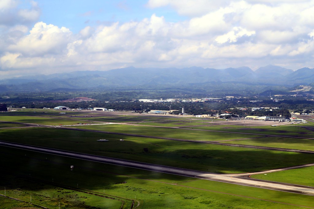
Welcome To Clark International Airport
That is Arayat #archive #dslr © @tekgik

Mount Pinatubo Crater

Sunset on the freeway
Topographic Map of Dolores (Hacienda Dolores), Porac, Pampanga, Philippines
Find elevation by address:

Places in Dolores (Hacienda Dolores), Porac, Pampanga, Philippines:
Places near Dolores (Hacienda Dolores), Porac, Pampanga, Philippines:
Cuayan
Barangay Cuayan
Sapang Bato
Fiesta Communities Porac Ii
The Enclave
Porac
Deca Clark Resort And Residences
Anunas
Berthaphil Iii Clark Center
Clark Center
Sta. Cruz Elementary School
Carmenville Subdivision
Hues Restaurant At Park Inn Clark
Aqua Planet (water Park)
Cutcut Elementary School
Clark Freeport
Pampang
Camella Pampanga
Heritage Place Subdivision
Brgy Cut Cut,basket Ball Coat
Recent Searches:
- Elevation of Elwyn Dr, Roanoke Rapids, NC, USA
- Elevation of Congressional Dr, Stevensville, MD, USA
- Elevation of Bellview Rd, McLean, VA, USA
- Elevation of Stage Island Rd, Chatham, MA, USA
- Elevation of Shibuya Scramble Crossing, 21 Udagawacho, Shibuya City, Tokyo -, Japan
- Elevation of Jadagoniai, Kaunas District Municipality, Lithuania
- Elevation of Pagonija rock, Kranto 7-oji g. 8"N, Kaunas, Lithuania
- Elevation of Co Rd 87, Jamestown, CO, USA
- Elevation of Tenjo, Cundinamarca, Colombia
- Elevation of Côte-des-Neiges, Montreal, QC H4A 3J6, Canada