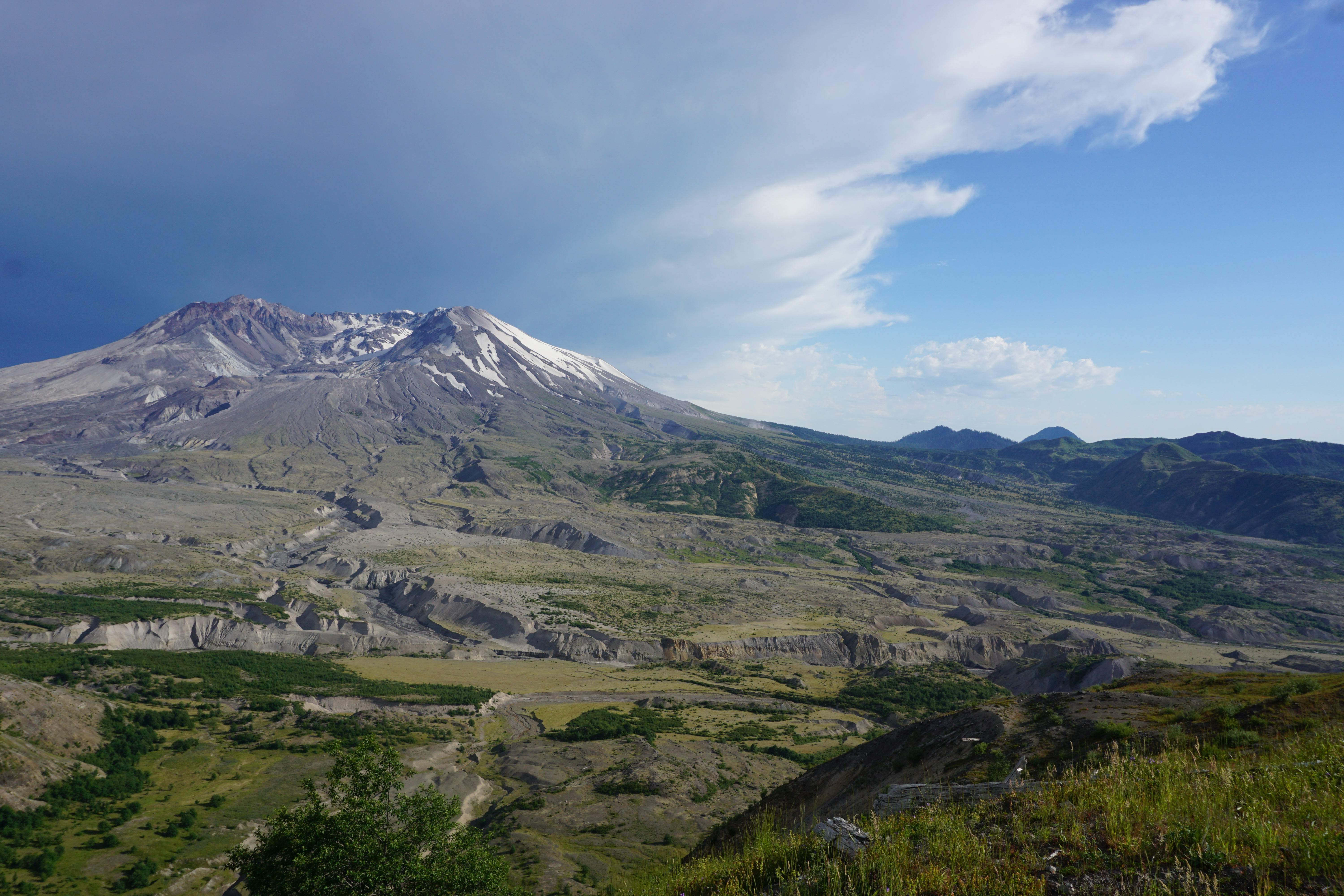
Elevation of Dogs Head, Washington, USA

Location: United States > Washington > Cougar >

Longitude: -122.17509

Latitude: 46.2012215

Elevation: 2424m / 7953feet

Barometric Pressure: 75KPa

Elevation Map:

elevation map of Dogs Head, Washington, USA

Satellite Map:

Satellite map of Dogs Head, Washington, USA

Related Photos:

nature bench landscape outdoors volcano scenery view scenic pacificnorthwest washingtonstate mountsthelens canonef2470mmf28lusm canoneos5dmarkiii johnwestrock
Room With A View
sunset photography volcano nikon mountsthelens d90 geuzinge photographymarc mountsainthelensnationalvolcanicmonumentwashingtonusaunitedstatesmarc
Mount St Helens at Sunset
panorama color nature photoshop canon spectacular landscape volcano washington scenery view scenic eod cascades vista geology fusion washingtonstate mountsthelens moonscape mtsthelens cascademountains pyroclasticflow 7e toutleriver photomatix johnstonridge giffordpinchotnationalforest volcaniceruption mtsthelensnationalvolcanicmonument skamaniacounty johnstonridgeobservatory may181980 mtsthelensnationalmonument eos7d mygearandme mygearandmepremium mygearandmebronze dtwpuck scottsmithson scottelliottsmithson
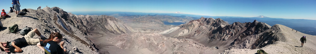
Mt St Helens Panorama Boundary Trail
mountains volcano mountrainier mountsthelens mtrainier mtsthelens mountsainthelens spiritlake absolutelystunningscapes wacatnp damniwishidtakenthat
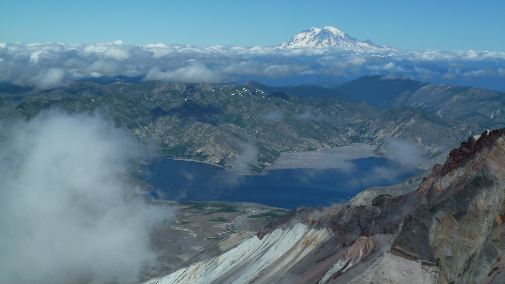
Mount Saint Helens Crater View
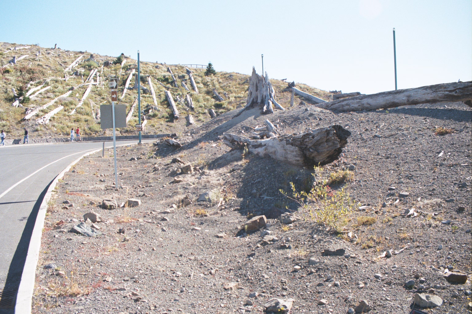
trees mountain outdoors washington mtsthelens
Mount Saint Helens
usa mountain lake reflection monument nature rock landscape volcano us washington unitedstates adams hiking spirit ridge trail helens wa desolation
Spirit Lake
mist fog clouds hiking mtsainthelens
Harry's View
blue usa white mountain green film creek river volcano washington natural ae1 dam 1996 disaster landslide wa washingtonstate mountsthelens 1980 eruption northfork toutleriver mountsthelensnationalvolcanicmonument volcaniceruption coldwaterlake skamaniacounty coldwatercreek minniepeak
Coldwater Lake
mountain color volcano washington wa mountsthelens platinumphoto
Mount ST. Helens Volcano in WA State
mountain color volcano washington wa mountsthelens
Mount ST. Helens Volcano in WA State
nature outdoors volcano climb washington hiking hike crater caldera mountrainier pacificnorthwest ash rim mountsthelens pnw nationalmonument mtsthelens mountsainthelens spiritlake giffordpinchotnationalforest yepthatssteep 8365feet
what i did on my summer vacation
panorama usa fog america washington nebel unitedstates pacificnorthwest northamerica wa washingtonstate amerika landschaft pnw cougar lenticularcloud mounthood vulcano mountadams vulkan cascaderange morgendämmerung altocumuluslenticularis vereinigtestaaten nordamerika 3x1 mountsainthelensnationalvolcanicmonument stratovulkan pazifischernordwesten schichtvulkan lenticulariswolke smithcreekviewpoint kaskadenkette
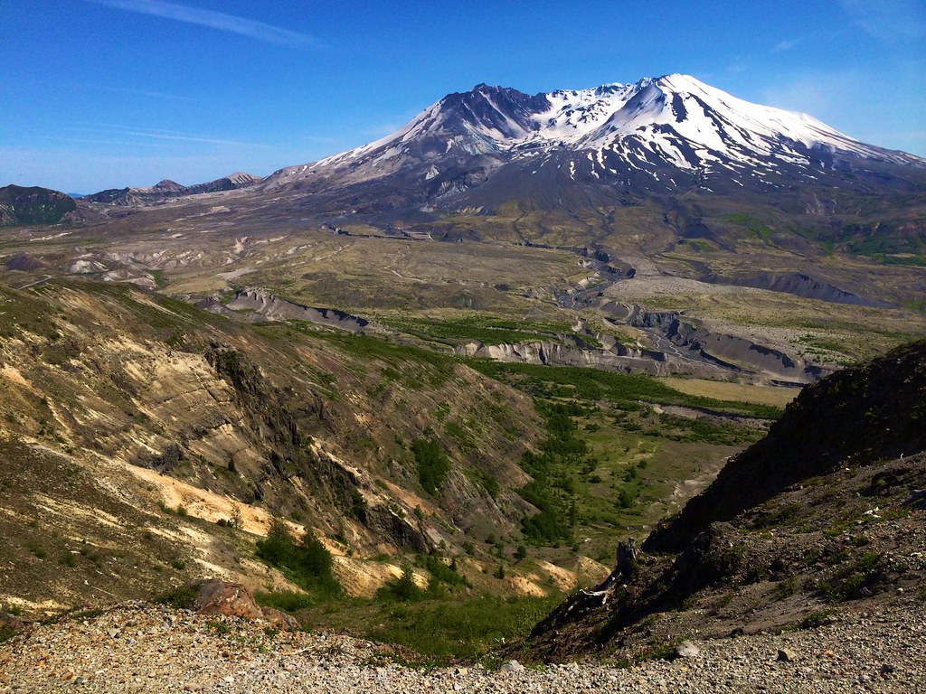
Two Cascade Volcanos
landscape volcano washington scenery mountsthelens nfs johnstonridge nationalforestservice nationalvolcanicmonument
Mount St. Helens National Volcanic Monument
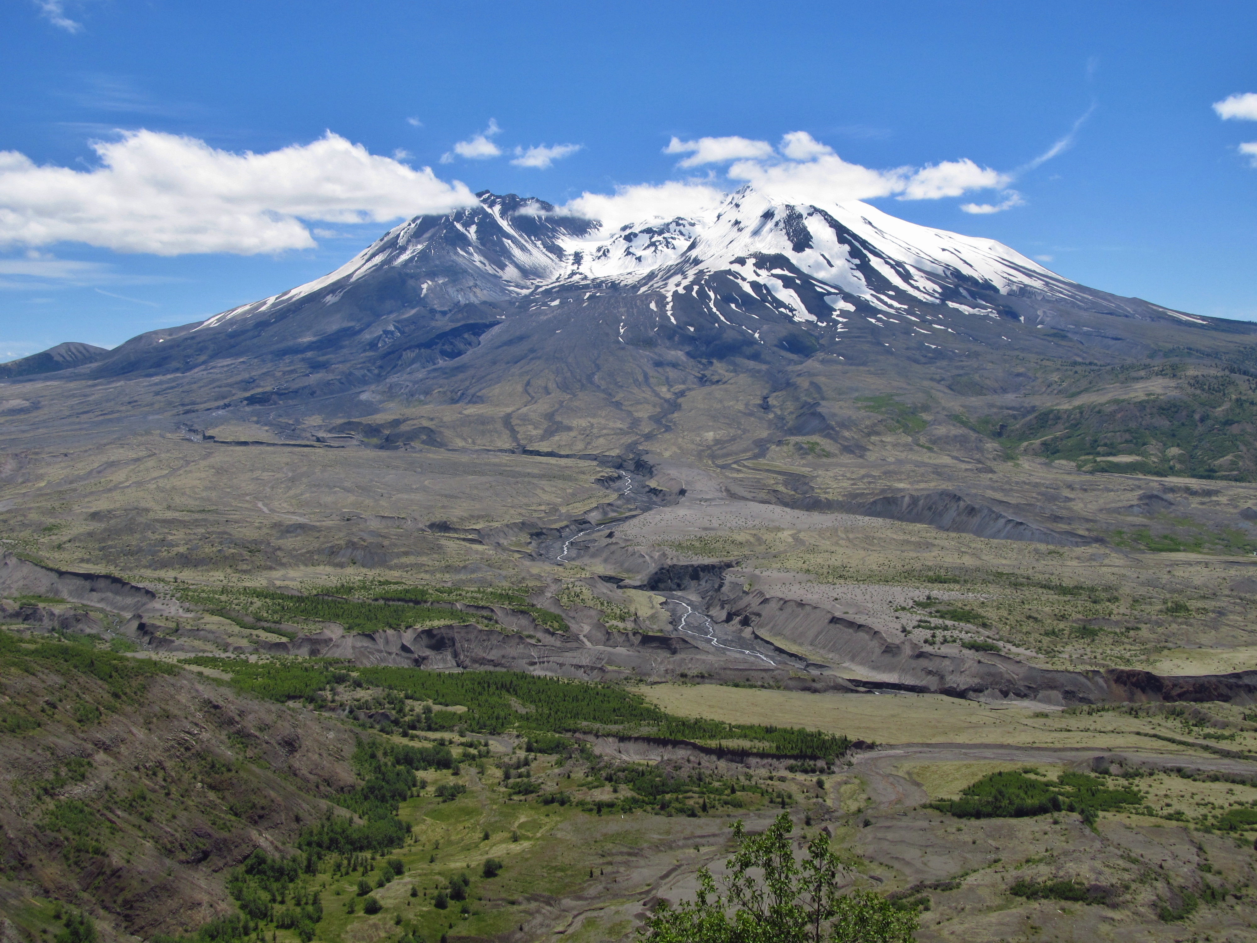
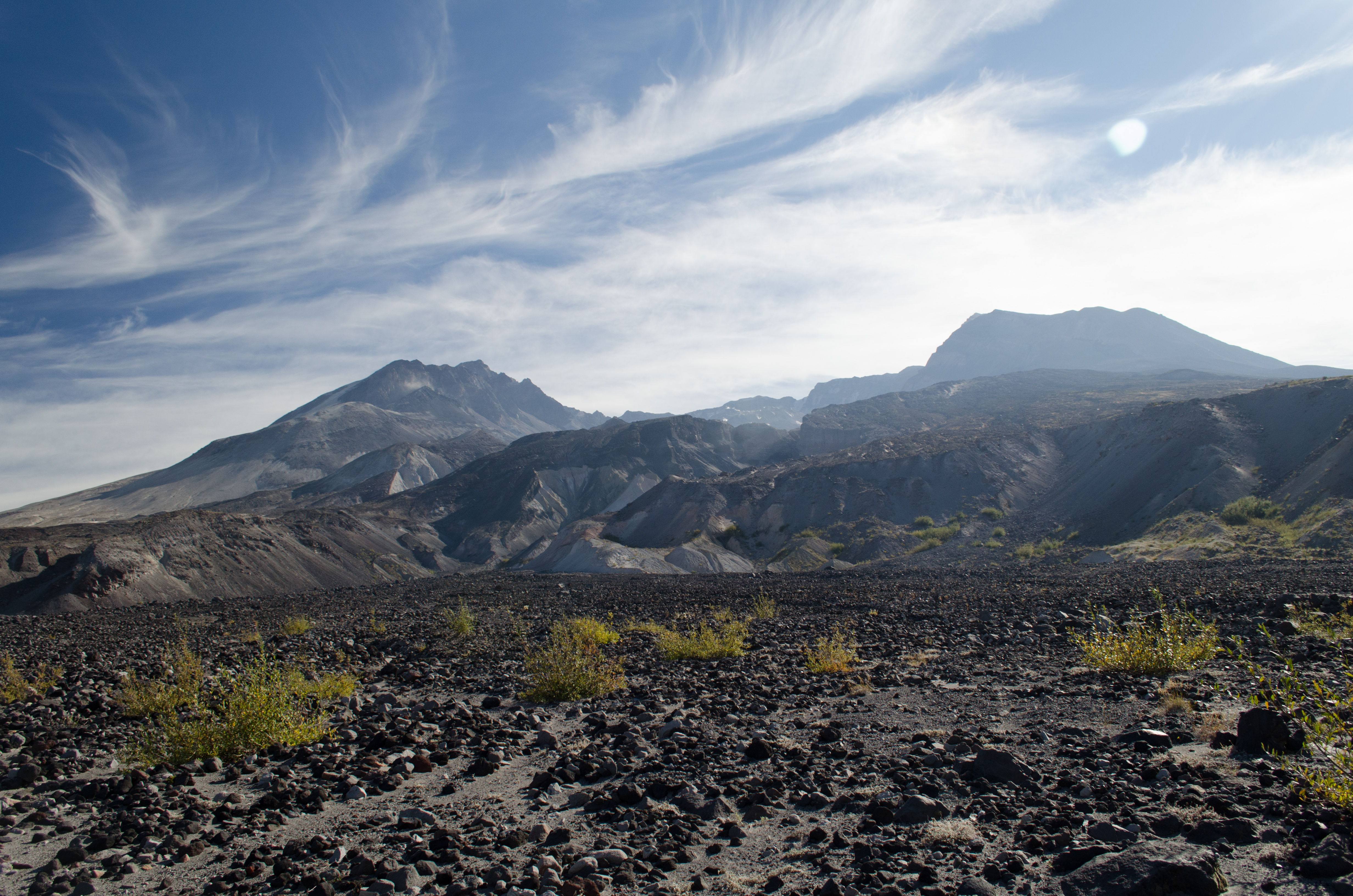
vacation volcano washington mountsthelens mountsthelensnationalvolcanicmonument nationalvolcanicmonument johnstonridgeobservatory
Mount St. Helens
usa mountain washington unitedstates wa mountsthelens mtsthelens toutle cowlitzcounty
Mount St. Helens
terrain mountain landscape volcano washington helens
Mount St. Helens
landscape mtsthelens loowittrail
View into the breach
volcano washington nikon mtsainthelens 1635mm pumic d3x andrewkumler
Mt Saint Helens , Windy Ridge Sunset...
mountain oregon landscape volcano lava climb washington rocks view hike summit mountsthelens mtsthelens activevolcano
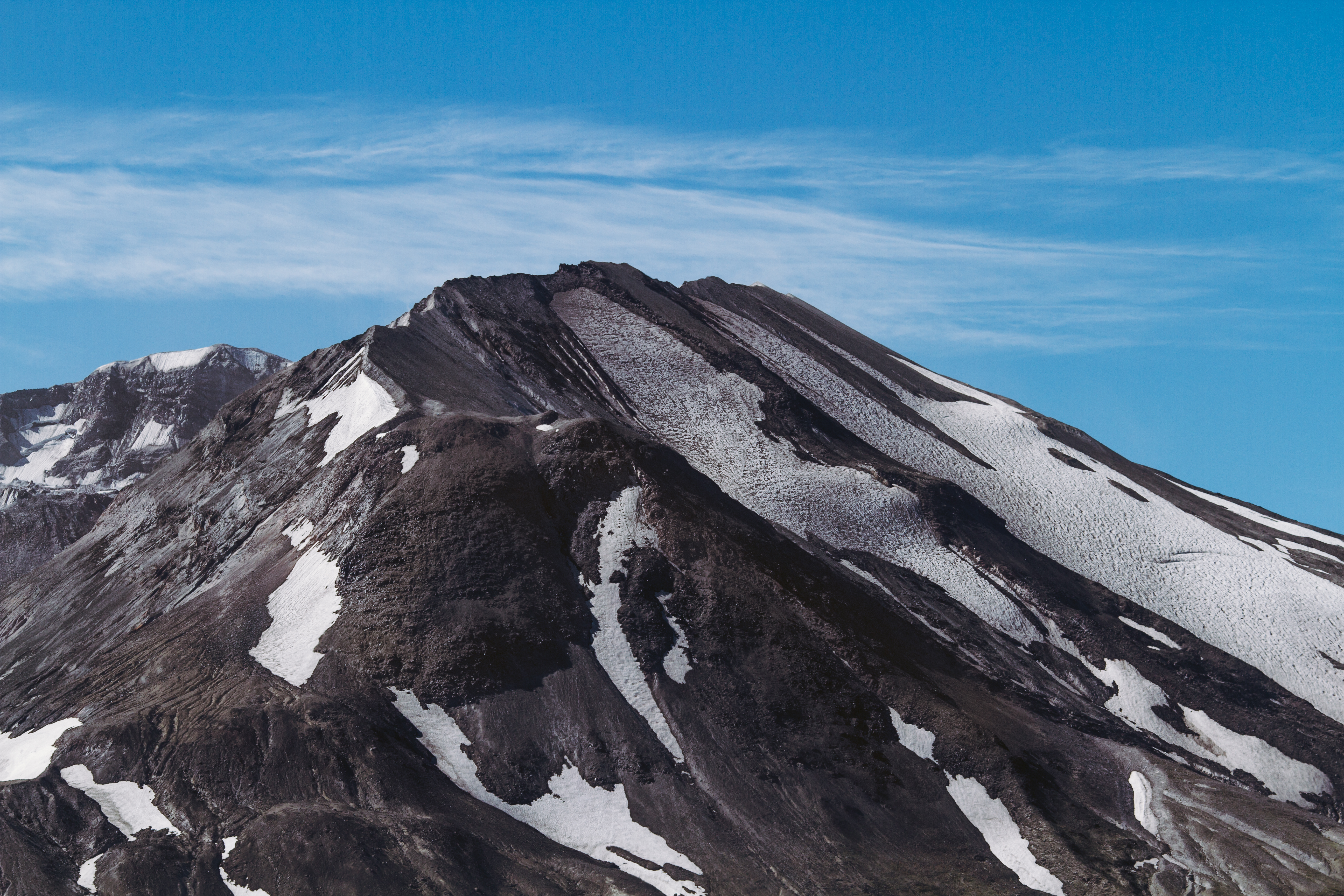
Mount St. Helens Summit
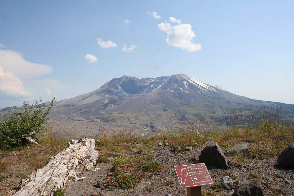
mountain snow nature canon volcano big scenery day scenic pacificnorthwest washingtonstate mountsthelens pnw canon135mmf2lusm canoneos7d pwpartlycloudy
Blown Up
mountains landscape volcano washington mtsainthelens
Storm Cloud Over Mt St Helens