Elevation of Doe Canyon Road, Doe Canyon Rd, Hemet, CA, USA
Location: United States > California > Riverside County > Hemet >
Longitude: -116.82809
Latitude: 33.7319819
Elevation: 720m / 2362feet
Barometric Pressure: 93KPa
Elevation Map:
Satellite Map:
Related Photos:
Its Yours Today.
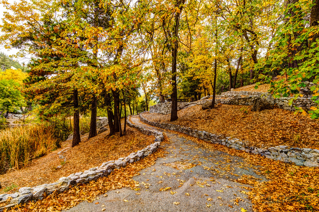
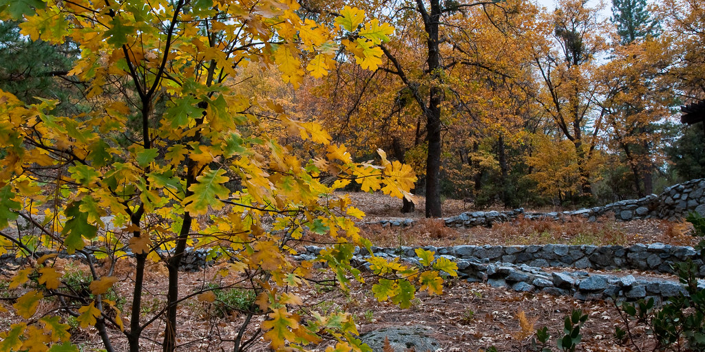
Early Fall

Valley View
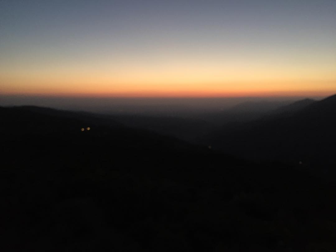
Hazy sunset view from the mountains. ????
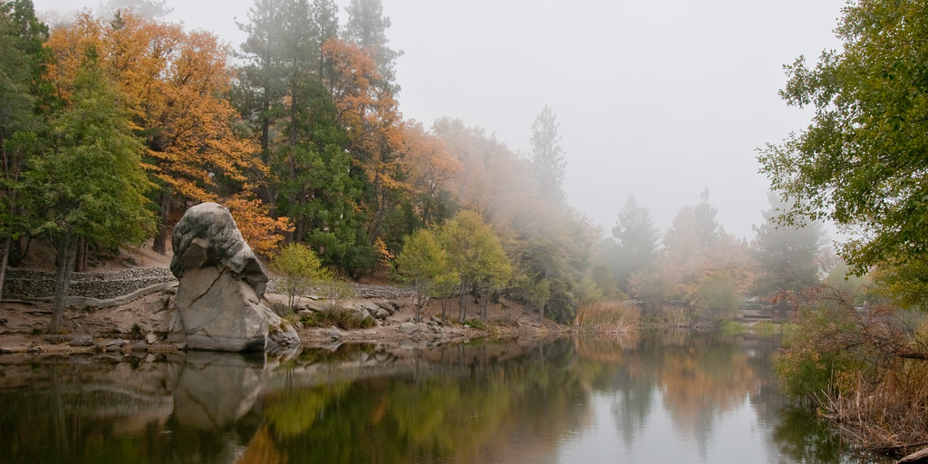
Still Water

Start of what can become a major fire in the Idyllwild area
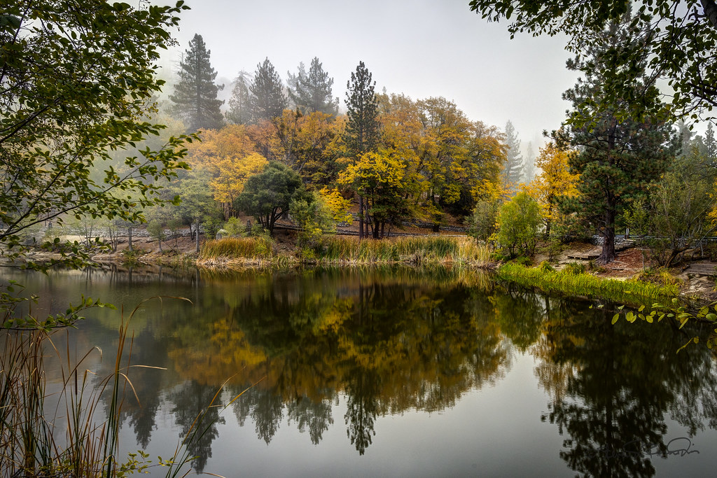
Lake Mist

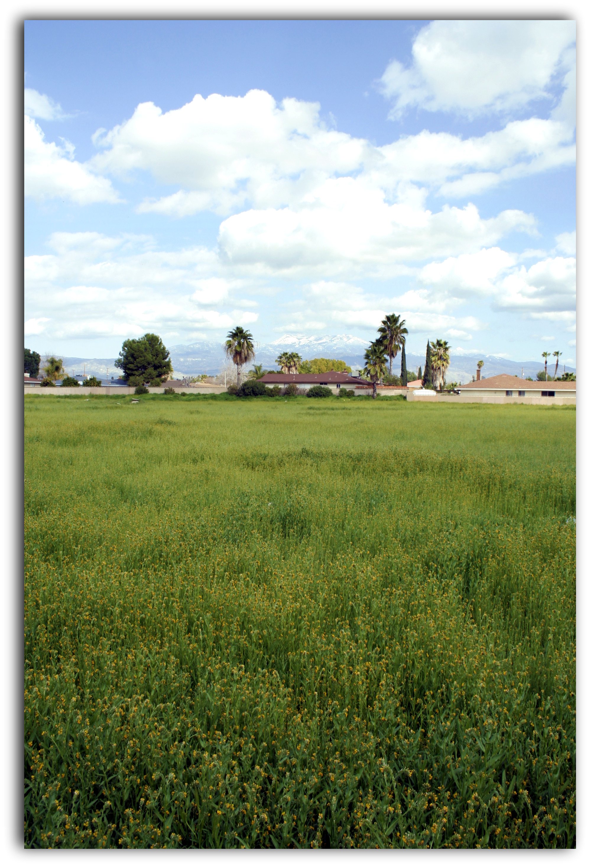
vacant lot with a view
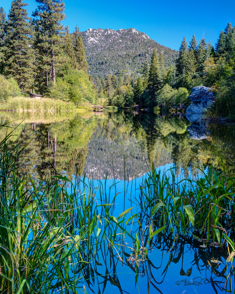
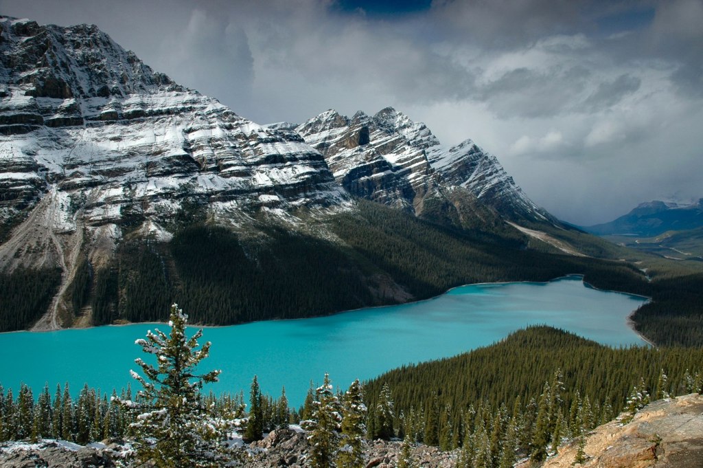
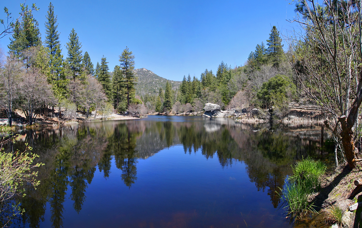
Mountain Lake
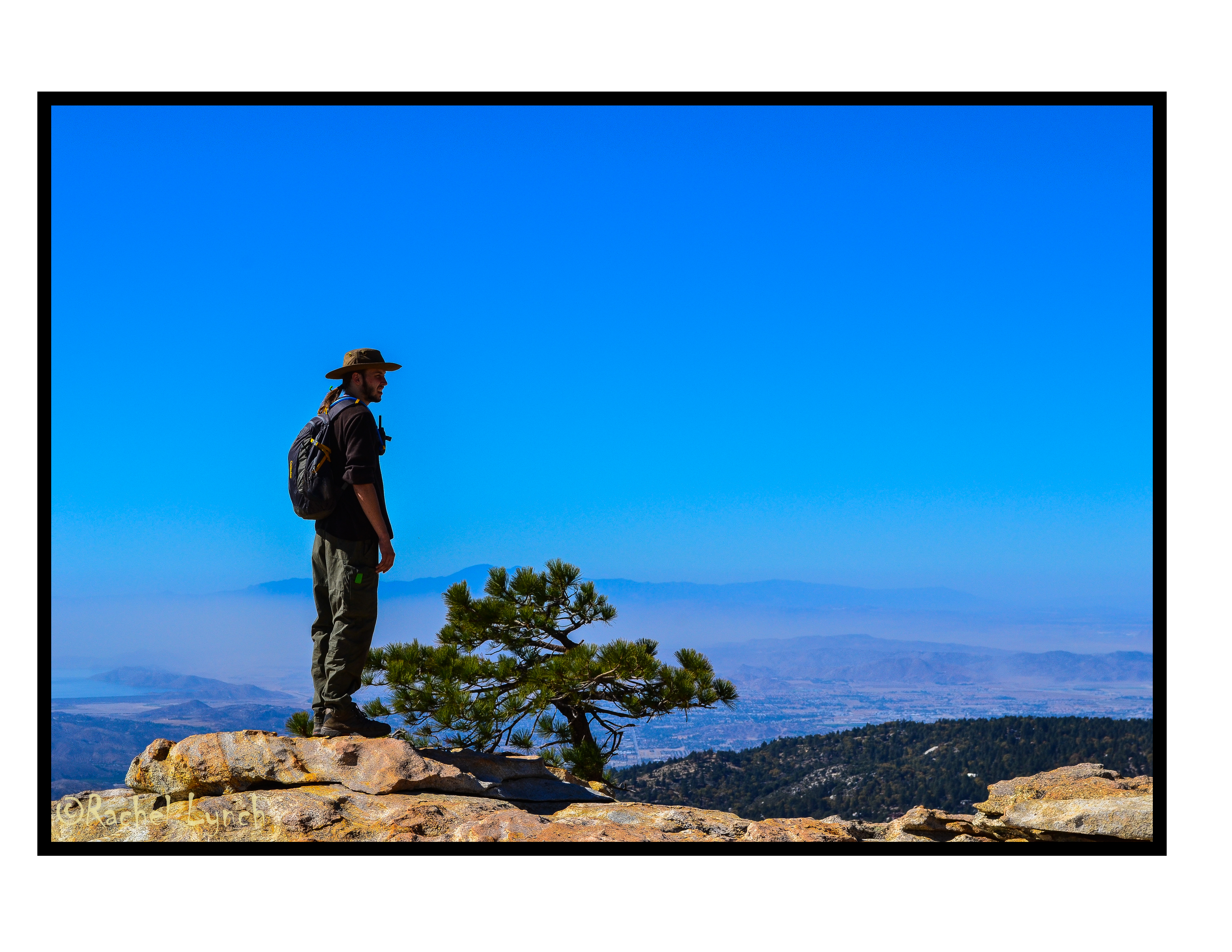
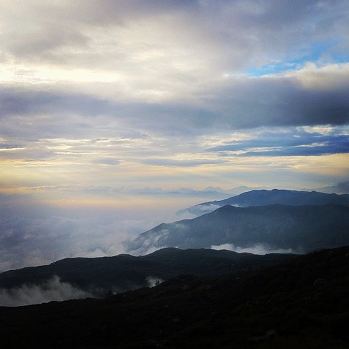
view of very distant mountains

The 'Mountain Fire' from 'High Point' north view 16-Jul-2013 12:53 PM PST
Lake Mist

Carousel horses

Hemet Valley
Switch Backs

Beautiful views both ways
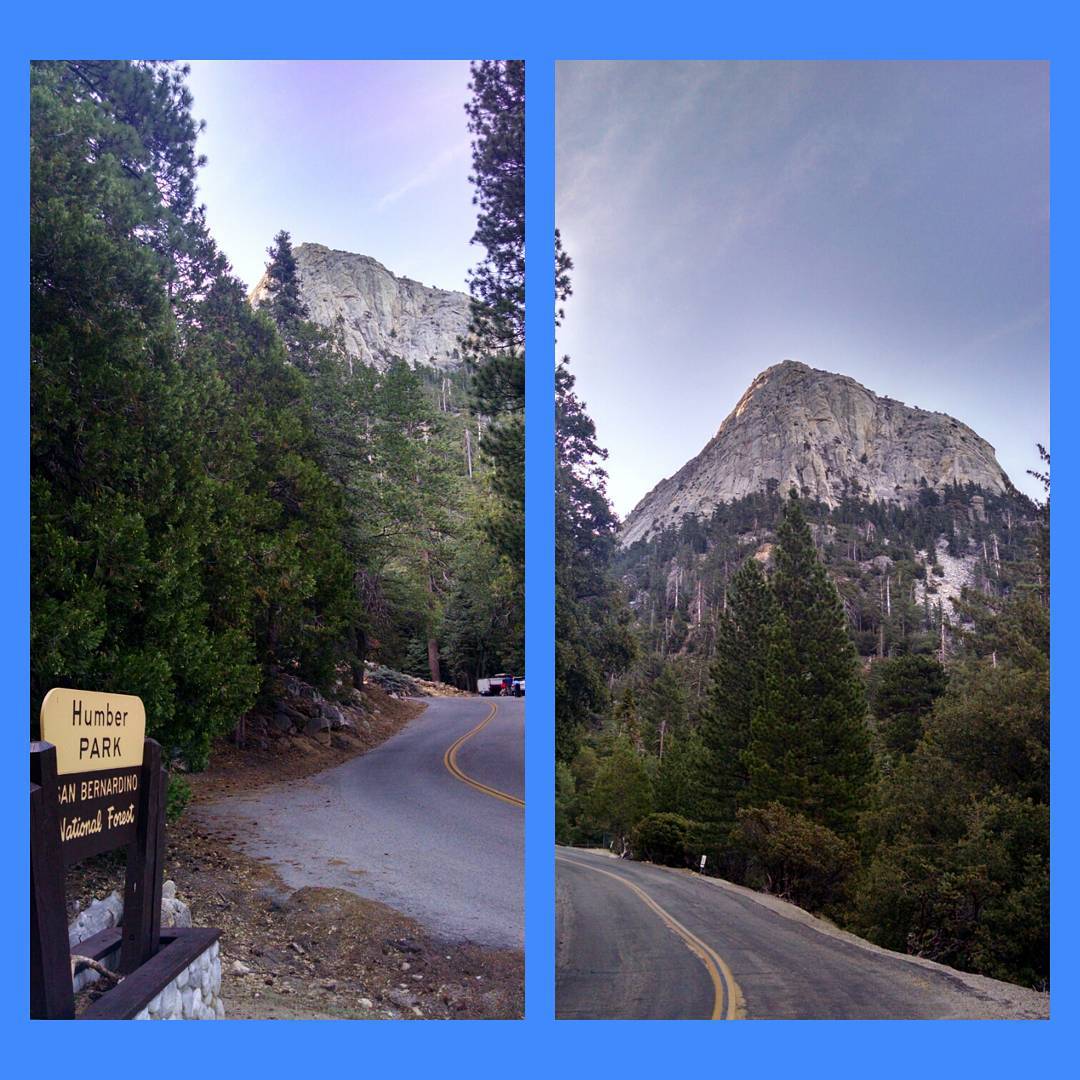
Morning view of Tahquitz Peak on walk to Humber Park - #IdyllwildJazz -enabled ;)

Ride the Swirl

Mountain Center Morning Light

2011-07-10 144
Breakfast view

265202e154f050ca102f5e0898574b85-d4gdepf
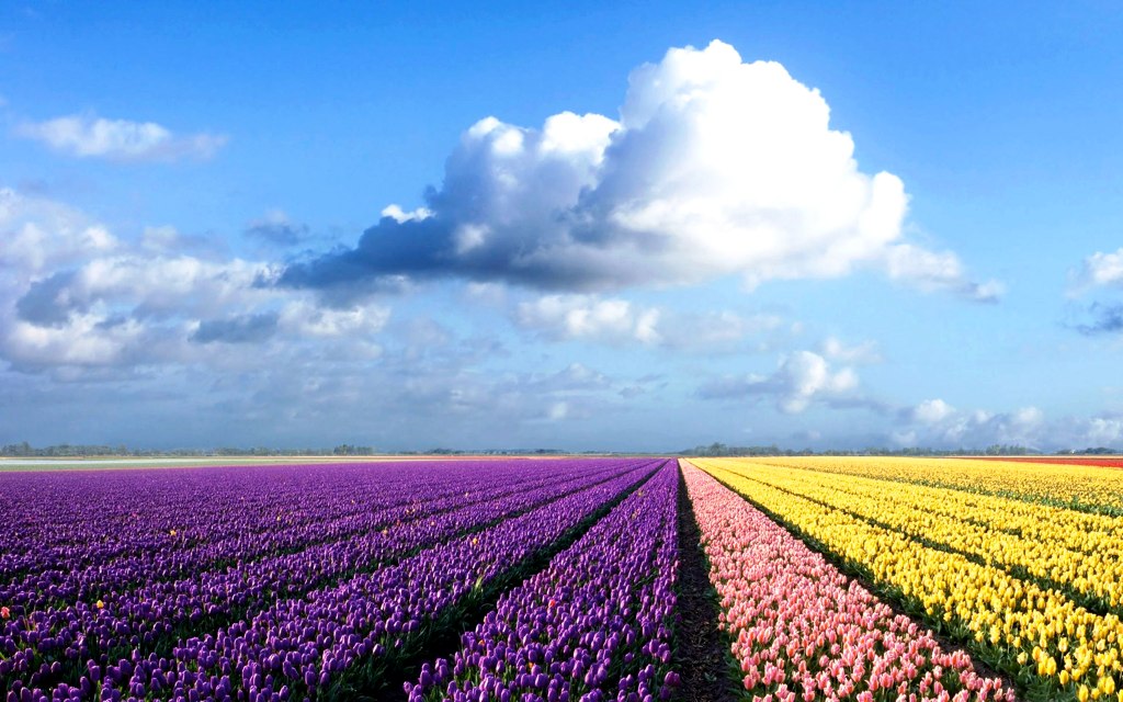
colorful-flower-field_1920x1200_71912

colorful-flower-field_1920x1200_71912
Autumn Reflections Above Los Angeles
nwoehnl-m8VDrqaU7No-hd
Idyllwild CA

Reflecting on an autumn sunset
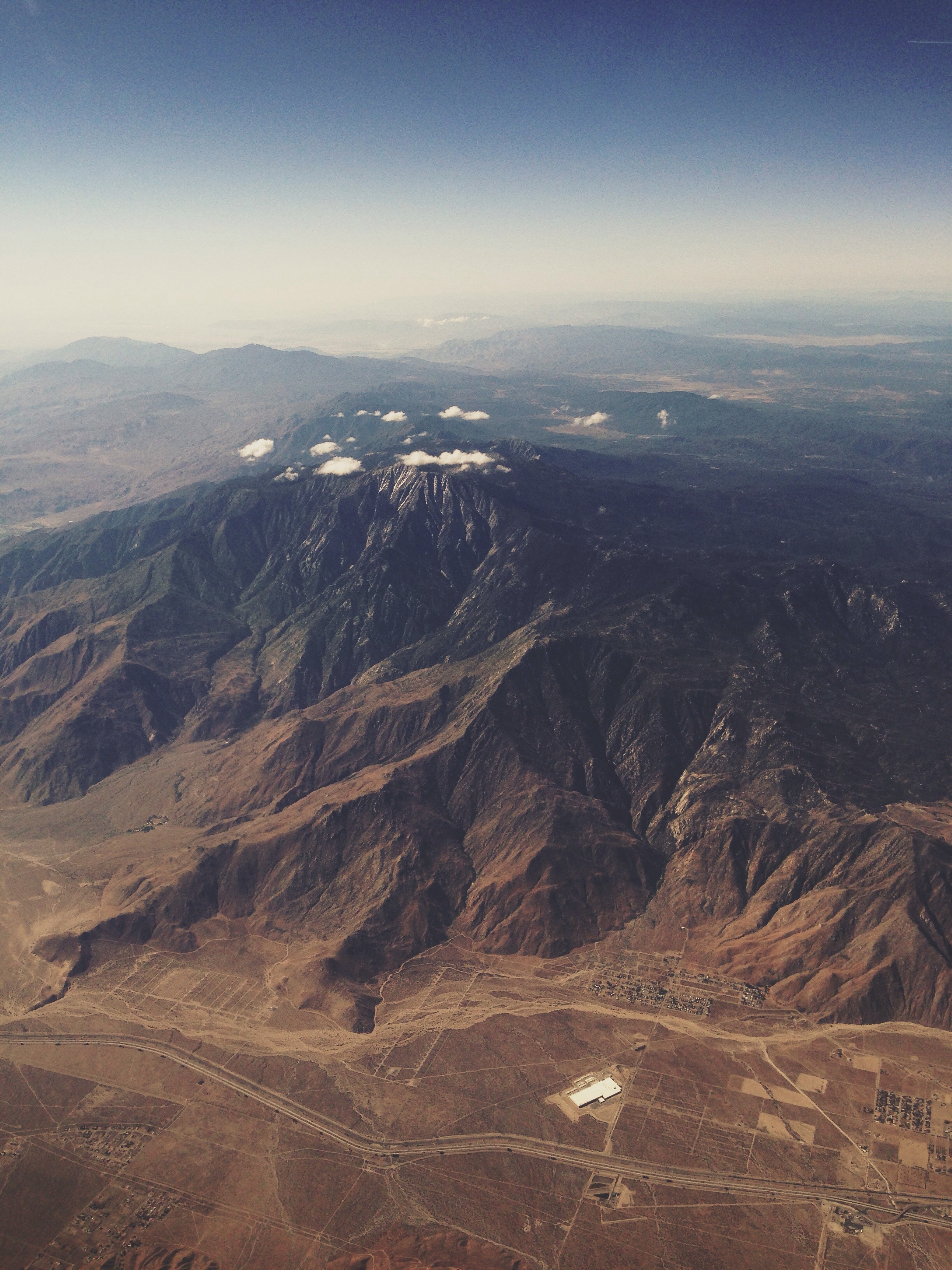
Over California
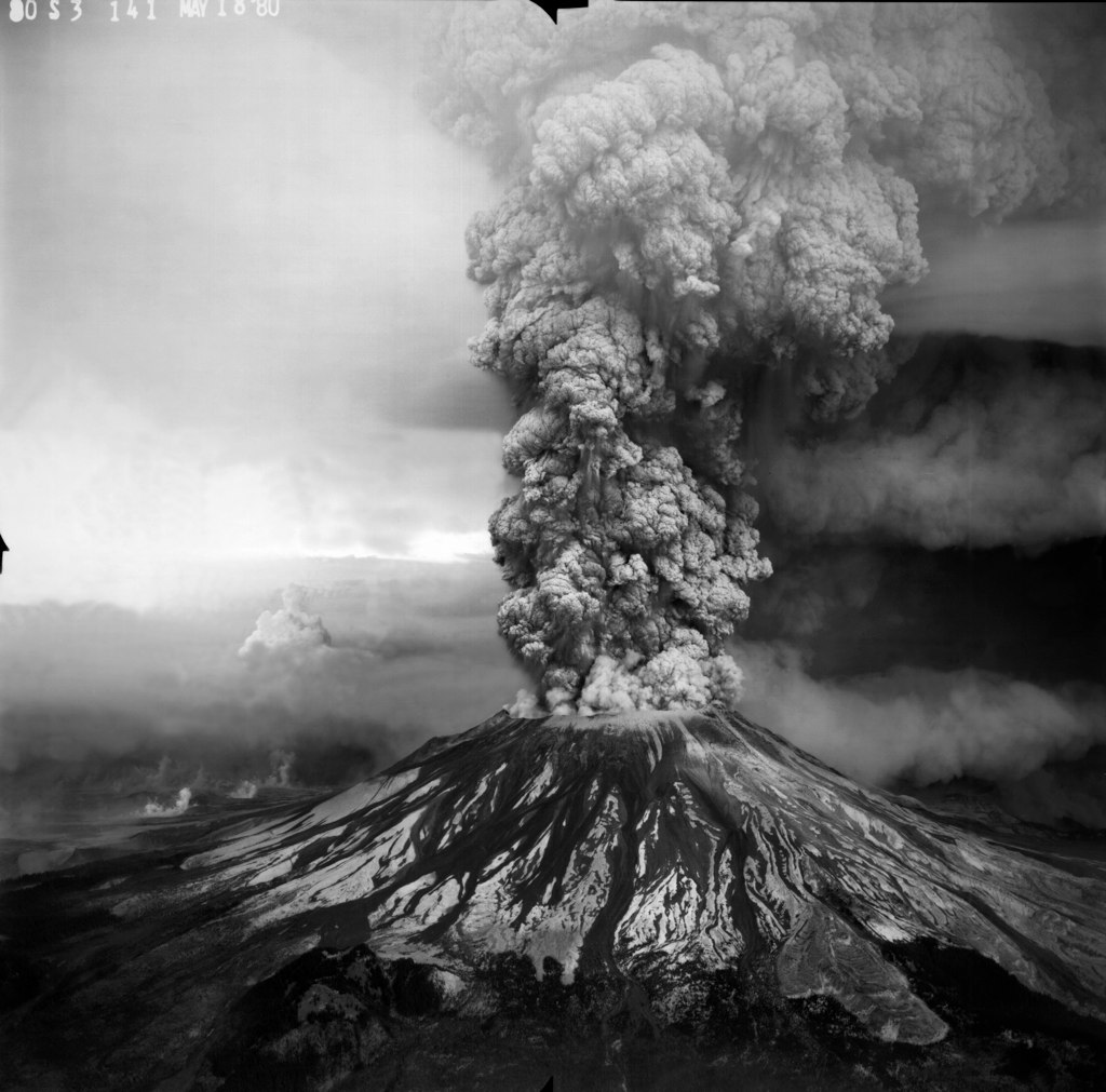
MSH80_msh_eruption_05-18-80_Krimmel_80S3-141_bw
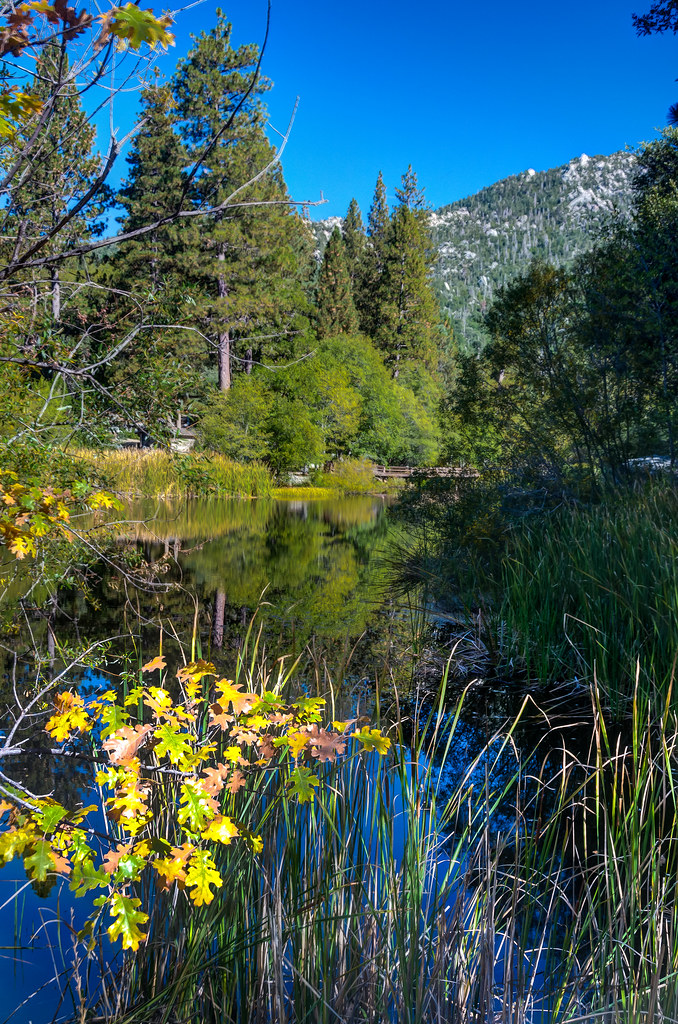
Lake Fulmar
Head in the clouds. #photowalkwithme #Idyllwild #mtsanjacinto #hiking #cloudporn
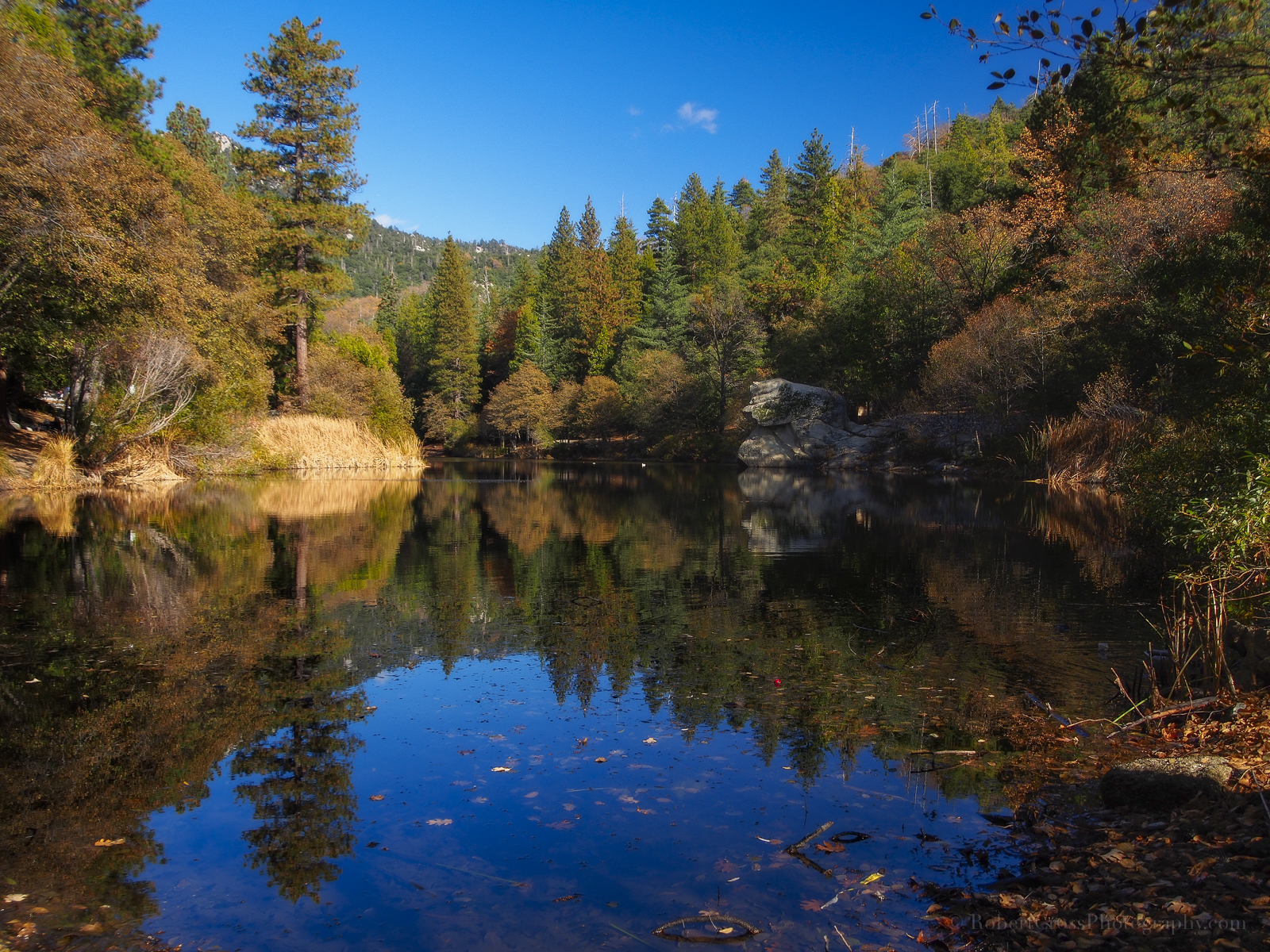
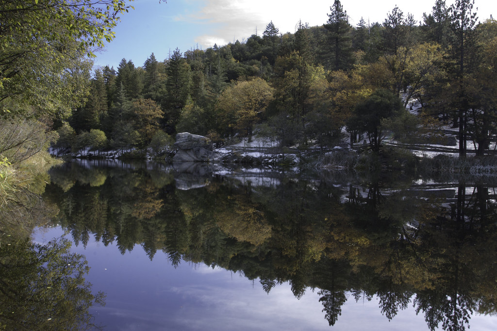
Lake Fulmor Reflections
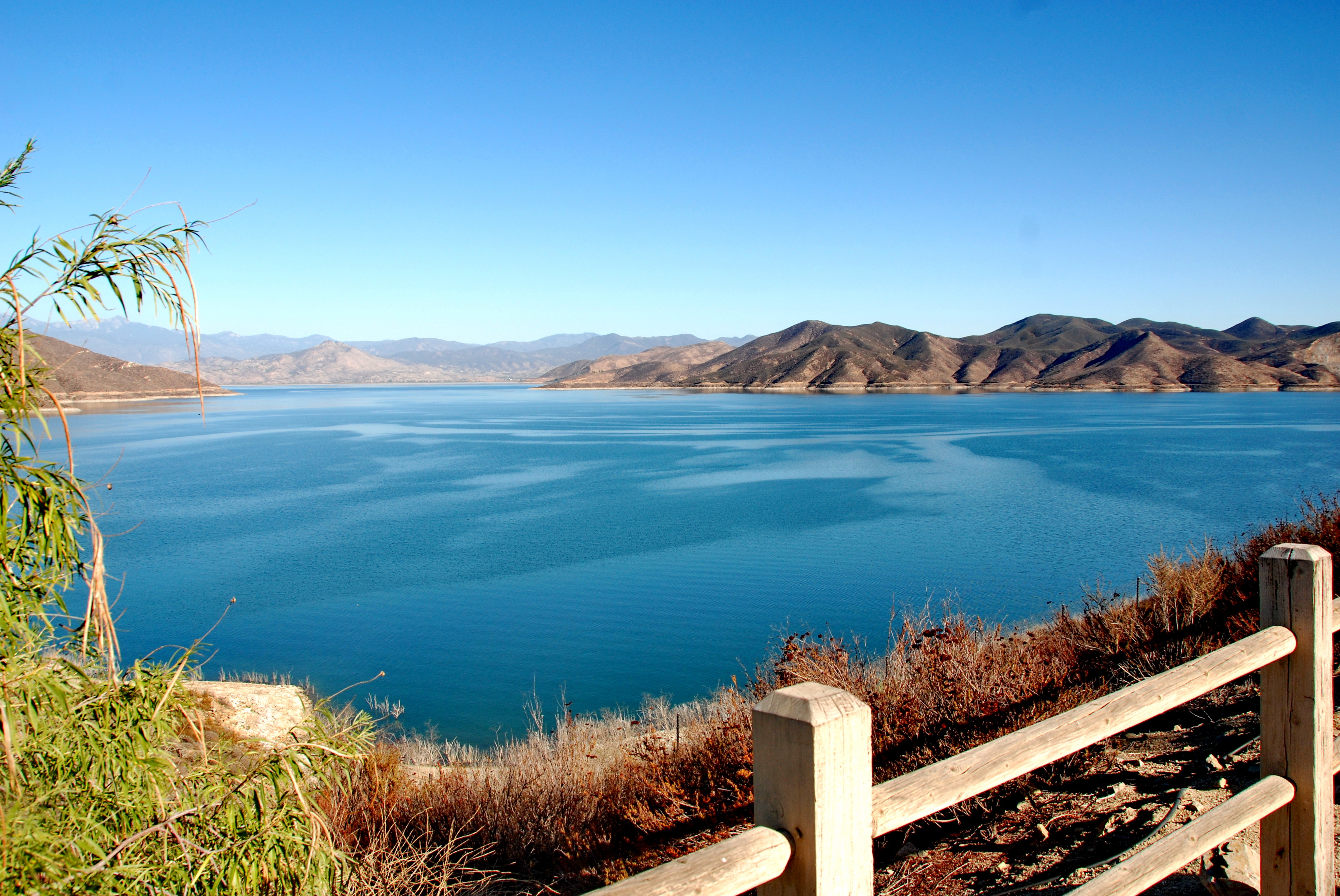
Diamond Valley Lake est.1999
IMG_3293.jpg
#rock on #hiking #scenery #boulder #nature #hand #lookslikeahand

2011-08-01 087

what 8828 ft looks like!

Aventure en montagne
Idyllwild Roundoff
Topographic Map of Doe Canyon Road, Doe Canyon Rd, Hemet, CA, USA
Find elevation by address:

Places near Doe Canyon Road, Doe Canyon Rd, Hemet, CA, USA:
Bautista Canyon
26616 Regent Ct
Pleasant St, Hemet, CA, USA
52655 Double View Dr
Chambers Ave, Hemet, CA, USA
53098 Mckinney Ln
26350 Delano Dr
53589 Tollgate Rd
25676 Double Tree Dr
25690 Cedar Glen Dr
25670 Cedar Glen Dr
41701 Stetson Ave
53815 Marian View Dr
Mountain Center
Idyllwild Nature Center
Mountain Center Cafe
26375 Ca-243
Banning-Idyllwild Panoramic Hwy, Idyllwild, CA, USA
Idyllwild
Mayberry Ave, Hemet, CA, USA
Recent Searches:
- Elevation of Rojo Ct, Atascadero, CA, USA
- Elevation of Flagstaff Drive, Flagstaff Dr, North Carolina, USA
- Elevation of Avery Ln, Lakeland, FL, USA
- Elevation of Woolwine, VA, USA
- Elevation of Lumagwas Diversified Farmers Multi-Purpose Cooperative, Lumagwas, Adtuyon, RV32+MH7, Pangantucan, Bukidnon, Philippines
- Elevation of Homestead Ridge, New Braunfels, TX, USA
- Elevation of Orchard Road, Orchard Rd, Marlborough, NY, USA
- Elevation of 12 Hutchinson Woods Dr, Fletcher, NC, USA
- Elevation of Holloway Ave, San Francisco, CA, USA
- Elevation of Norfolk, NY, USA