Elevation of Dodra, Himachal Pradesh, India
Location: India > Himachal Pradesh > Shimla >
Longitude: 78.0559211
Latitude: 31.1960178
Elevation: 2525m / 8284feet
Barometric Pressure: 74KPa
Elevation Map:
Satellite Map:
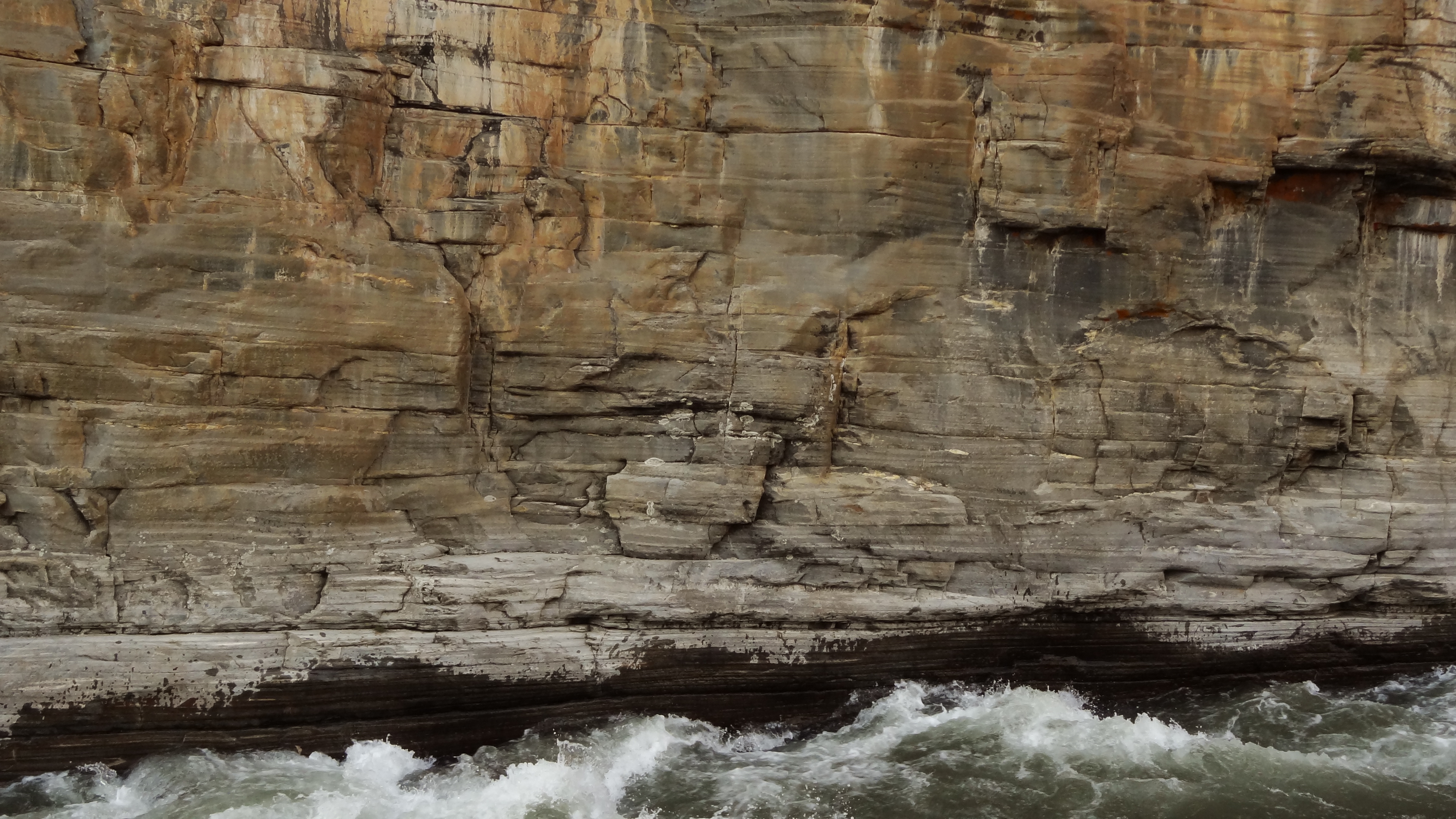
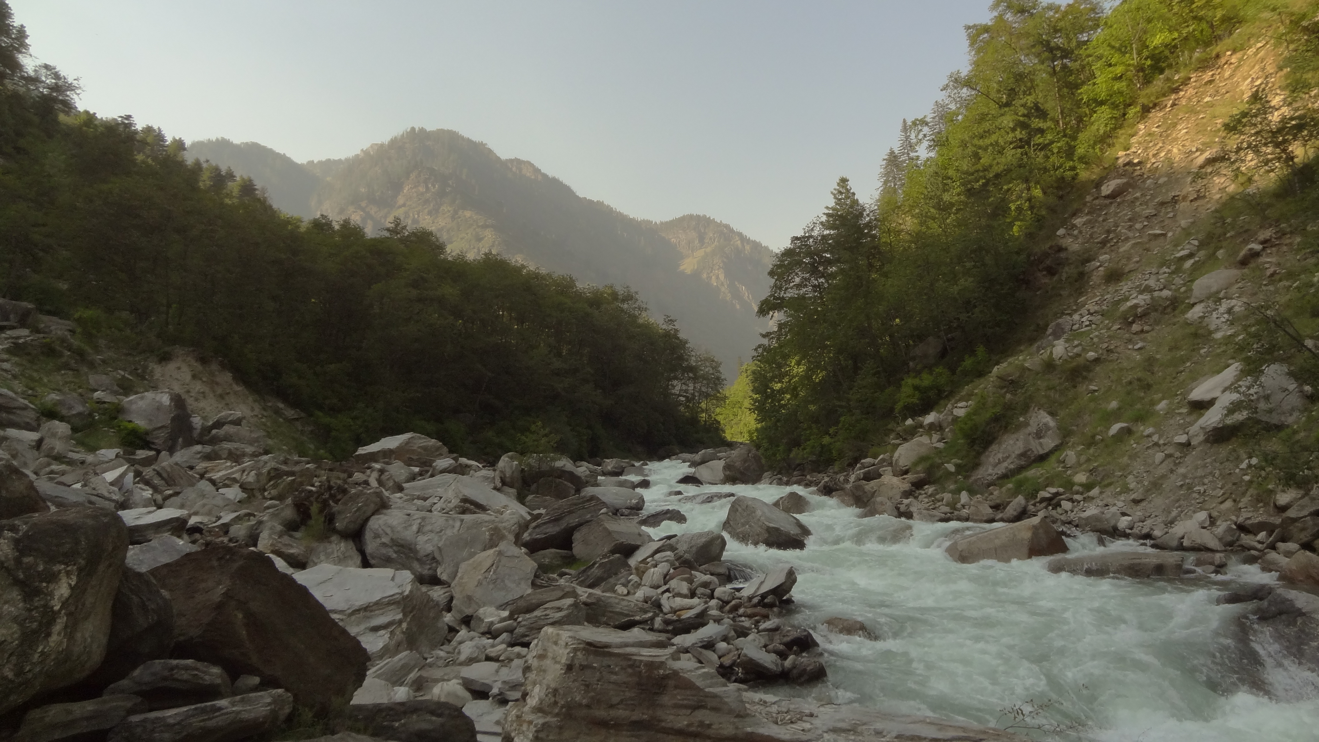
Related Photos:

Memories of Swargarohini

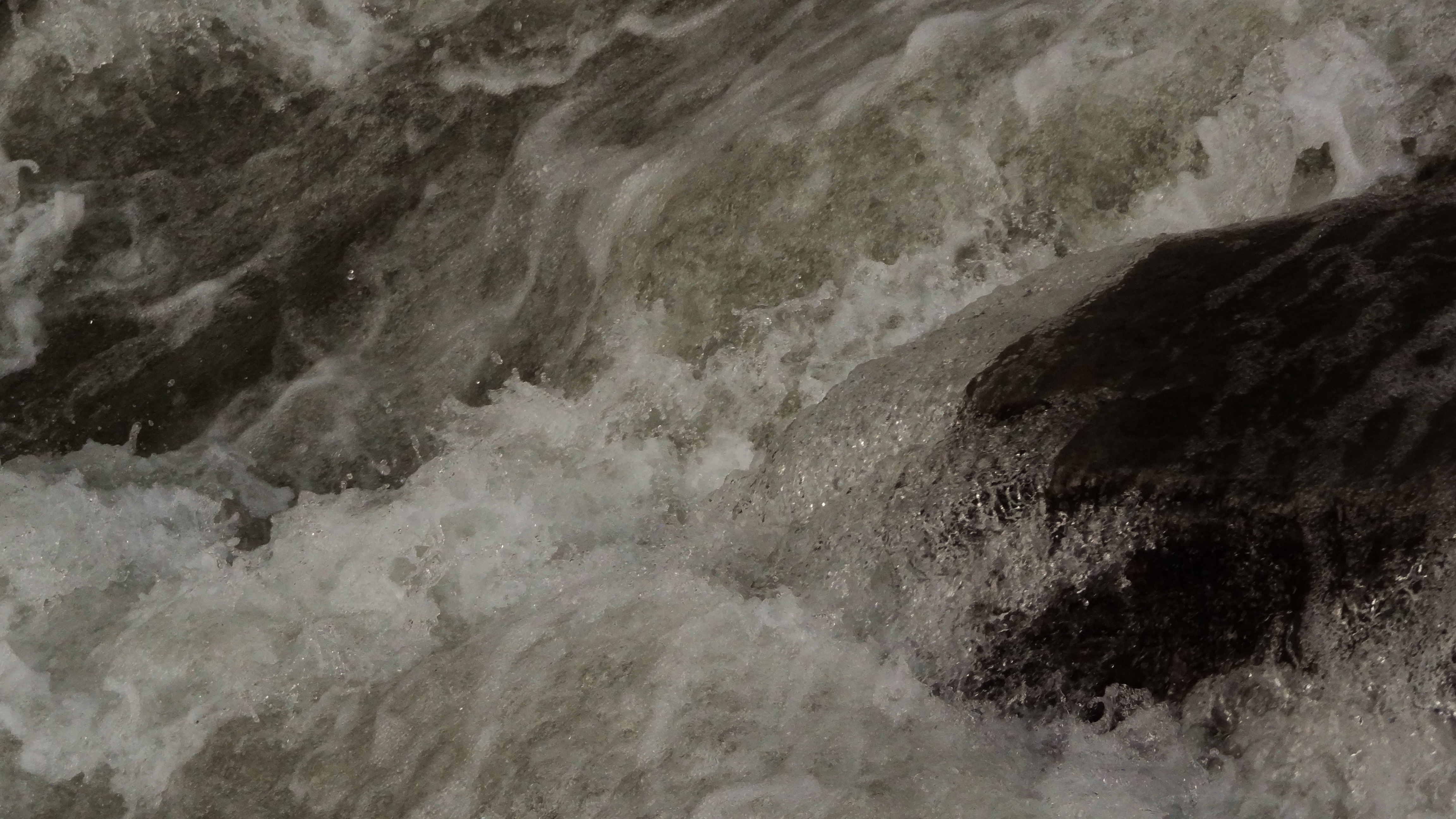
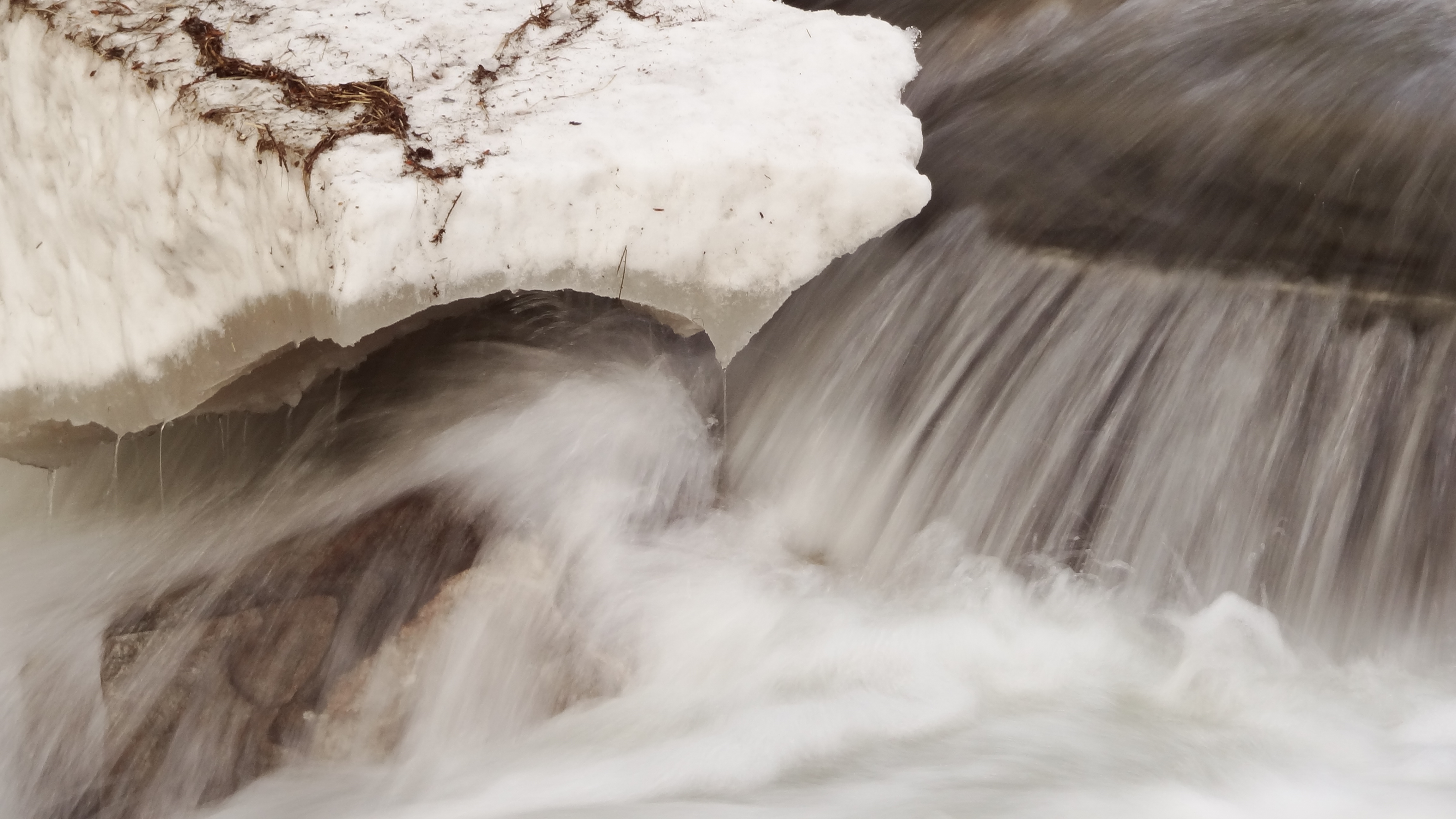
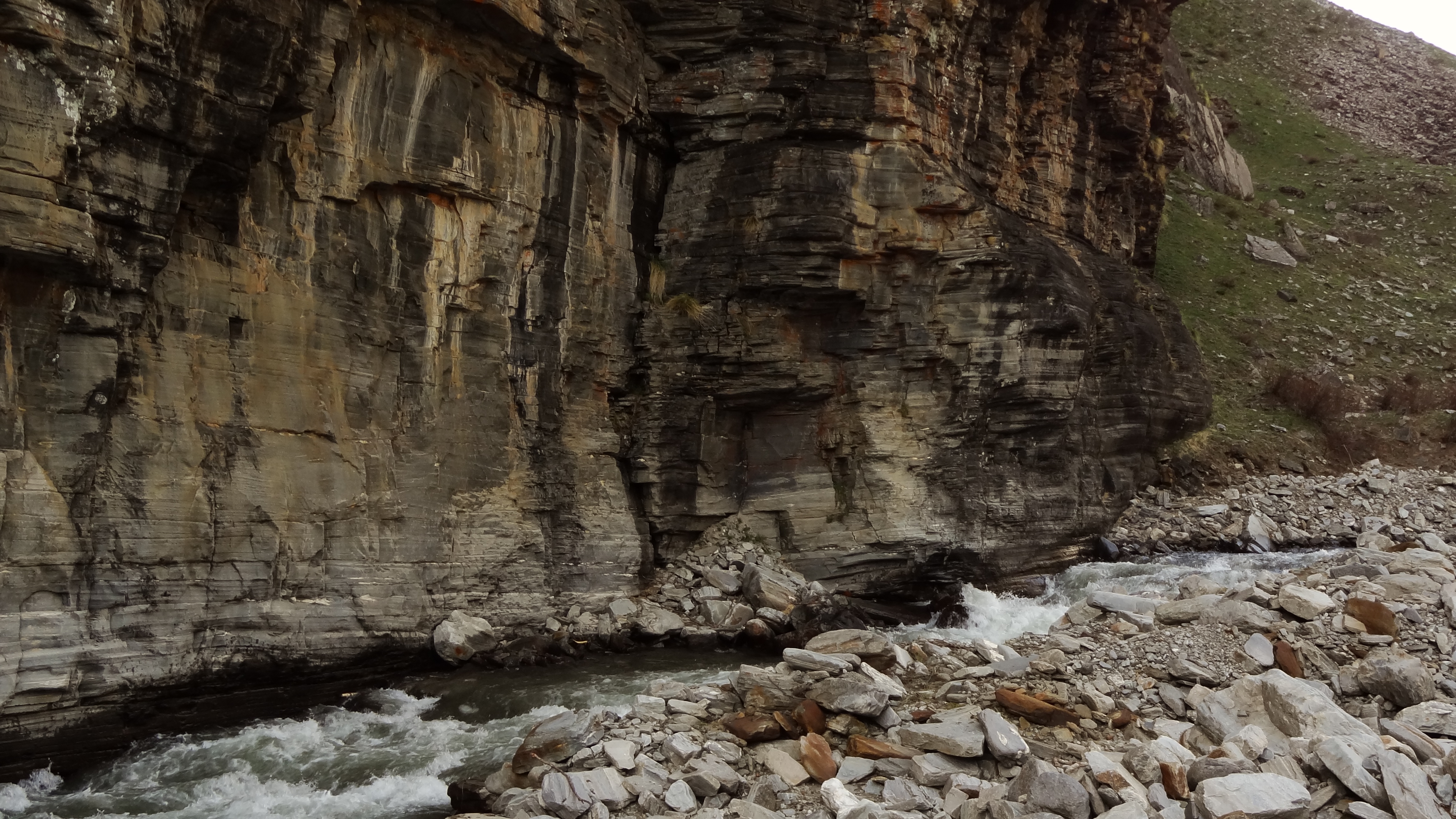
Snow and slush enroute Dodra Kwar

2013-05-21 17.24.05
2013-05-21 17.23.45

2013-05-21 17.23.52
2013-05-21 17.22.09
2013-05-21 17.12.07

2013-05-19 16.43.39
2013-05-19 16.32.39

2013-05-19 16.50.08

2013-05-19 16.50.22

2013-05-19 16.50.45

2013-05-19 16.52.05

2013-05-21 17.11.55
2013-05-21 17.13.09

2013-05-21 17.12.50

2013-05-21 17.23.58

Sankari , Uttarakhand

2013-05-21 17.19.57

2013-05-21 17.08.27

2013-05-19 16.33.24
Topographic Map of Dodra, Himachal Pradesh, India
Find elevation by address:

Places near Dodra, Himachal Pradesh, India:
Dhaula - Sewa Road
Kalap
Sankri
Kedarkantha
Taluka
Hanol
Supin Range
Govind Pashu Vihar National Park And Sanctuary
Rohru
Pabbar Valley
Sangla
Ghyan
Hatkoti Temple
Hatkoti
Tiuni
Har Ki Doon
Auli
Kalpa
Jubbal
Sankari Range
Recent Searches:
- Elevation of 3 Nestling Wood Dr, Long Valley, NJ, USA
- Elevation of Ilungu, Tanzania
- Elevation of Yellow Springs Road, Yellow Springs Rd, Chester Springs, PA, USA
- Elevation of Rēzekne Municipality, Latvia
- Elevation of Plikpūrmaļi, Vērēmi Parish, Rēzekne Municipality, LV-, Latvia
- Elevation of 2 Henschke Ct, Caboolture QLD, Australia
- Elevation of Redondo Ave, Long Beach, CA, USA
- Elevation of Sadovaya Ulitsa, 20, Rezh, Sverdlovskaya oblast', Russia
- Elevation of Ulitsa Kalinina, 79, Rezh, Sverdlovskaya oblast', Russia
- Elevation of 72-31 Metropolitan Ave, Middle Village, NY, USA