Elevation of Dodds Hollow Rd, Merrill, OR, USA

Location: United States > Oregon > Klamath County > Merrill >

Longitude: -121.55095

Latitude: 42.0421592

Elevation: -10000m / -32808feet

Barometric Pressure: 295KPa

Elevation Map:

elevation map of Dodds Hollow Rd, Merrill, OR, USA

Satellite Map:

Satellite map of Dodds Hollow Rd, Merrill, OR, USA

Related Photos:

oregon oce ocerailway switchback loggingrailroad logtrain timberindustry trains railroads morrisonknudsen te704s oregoncaliforniaeastern
First time, last time, best time
The View from the Blind
rides hdr
Oregon View
pictures oregon lumix photo image photos picture windy panasonic adobe outhouse oce lostriver lightroom railtrail moik biketrail klamathfalls knockedover adobelightroom klamathcounty runningtrail olene statetrail tz5 dmctz5 ocetrail ruralklamathcounty ocewoodsline
How Windy Was It?
tulelake california unitedstates us nature muledeer sonyalpha sony sonyilca77m2 sal70200g deer
Mule Deer Youngster
View From the Blind
mountain birds oregon landscape view mount mountshasta nationalwildliferefuge nwr lowerklamath
Lower Klamath NWR and Shasta
spider hesperus cellar pholcidae psilochorus
Psilochorus hesperus
bug assassin reduviidae sinea
Sinea complexa
usa oregon memorial roadsidememorial casualmemorial harpoldroad
Harpold Road, Oregon (overview)
view down the aisle.
california lake mountains siskiyoucounty tulelake klamathbasinnationalwildliferefuge
View from above
view shasta
Shasta View
oregon cascades shasta
Shasta View
pictures winter rain fog oregon landscape lumix photo image photos picture panasonic adobe irrigation lightroom moik klamathfalls adobelightroom tz5 dmctz5 lowerlakeroad
Fog & Frost
pictures winter rain fog oregon landscape lumix photo search frost image photos farm picture panasonic adobe barbedwire lightroom interzone moik nakedlunch klamathfalls adobelightroom tz5 dmctz5 lowerlakeroad endoffork
naked lunch
Sheepy Ridge Sunrise
usa california oregon klamathfalls klamathbasin klamathnationalwildliferefuge lowerklamathnationalwildliferefuge marccrumpler birds geese snowgeese flying takeoff swans tundraswans wildlife canon canon7dmarkii 7dmarkii tamron150600mmf563
Bald Eagle fly by
bnsf bnsfgatewaysubdivision insidegateway bn gn klamathcounty klamathbasin warbonnet santafewarbonnet atsf oregon shastacascadewonderland mountshasta railroads trains freighttrain ge generalelectric livestock agrarian
Warbonnet Steak
solemn california d850 colorful landscape tree river bushes stream modoc farm quiet field water clouds tulelake unitedstates us
Tulelake, California
pictures winter tree rain fog oregon landscape lumix photo image photos farm picture panasonic adobe lightroom moik klamathfalls adobelightroom tz5 dmctz5 lowerlakeroad
Winter Tree / Empty Ditch
solemn california d850 colorful quiet tree landscape tulelake unitedstates us
Siskiyou County, California
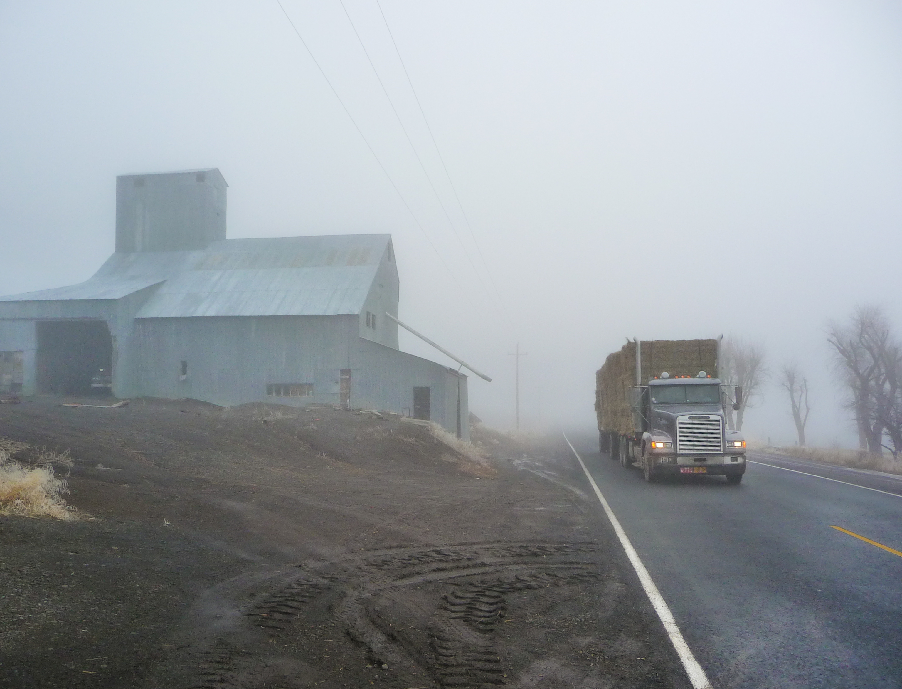
pictures winter rain fog oregon landscape lumix photo image photos farm picture panasonic adobe hay semitruck irrigation lightroom moik klamathfalls adobelightroom tz5 dmctz5 lowerlakeroad travelsofhomerodyssey
Hauling Hay
pictures winter rain fog oregon landscape lumix photo image photos farm picture panasonic adobe lightroom moik klamathfalls adobelightroom tz5 dmctz5 lowerlakeroad
Farm Festooned With Fog
pictures dog bike oregon landscape lumix photo interesting cross image photos picture run panasonic trail adobe bordercollie ringo oce dingo railstotrails acd lightroom railtrail blueheeler moik biketrail rescuedog klamathfalls traildog adobelightroom runningtrail olene tz5 dmctz5 cowardlycowdog ocetrail railbanking bestdogforrunning bestbreedforrunning bestbreedformountainbiking oregoncaliforniaandeastern ocewoodsline
Olene Trailhead - OC&E Trail
pictures horses oregon photo image photos picture olympus images adobe stylus ponies tough oce railstotrails 6000 underwatercamera lightroom railtrail moik biketrail klamathfalls adobelightroom littlehorses runningtrail olene ocetrail railbanking tough6000 oregoncaliforniaandeastern crushproofcamera
Little Horses - OC&E State Trail
field farm agriculture irrigation wheelline merrilloregon
Irrigating the Fields
pictures rain fog oregon landscape lumix photo image photos picture panasonic adobe lightroom moik alliteration klamathfalls adobelightroom tz5 dmctz5 klamathhills lowerlakeroad
Fog, Fence, Field
california ca lowerklamathnationalwildliferefuge klamathbasinnationalwildliferefugecomplex
Lower Klamath National Wildlife Refuge
Gateway Lifeline
Northern California Sunrise
statelineroad northerncalifornia moik photo photos picture pictures image lightroom adobe adobelightroom interesting lavabedsnationalmonument lavabeds nationalmonument tulelake california lava klamathbasinnationalwildliferefuge wildliferefuge
Klamath Basin National Wildlife Refuge