Elevation of Dock Landing Loop, South Mills, NC, USA
Location: United States > North Carolina > Camden County > South Mills > South Mills >
Longitude: -76.339917
Latitude: 36.4873759
Elevation: 3m / 10feet
Barometric Pressure: 101KPa
Elevation Map:
Satellite Map:
Related Photos:

2013-10-02 (4) Moyock NC tracks

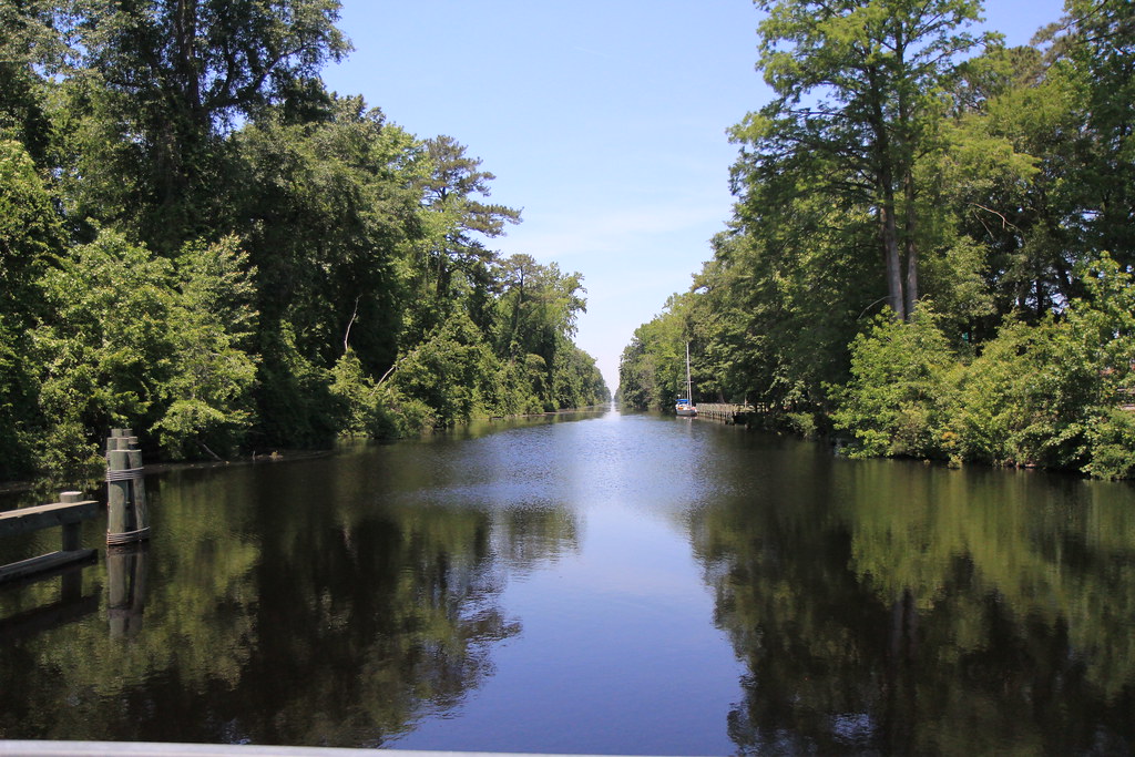
Boat view

Orion Nebula

Chesapeake Expressway, Chesapeake, Virginia en route to Outer Banks, North Carolina

Sunset on the baseball field

Endless?

3001 Dismal Swamp Canal Img_17595

_MG_4400_1_2_tonemapped.jpg

_MG_4397_8_9_tonemapped.jpg
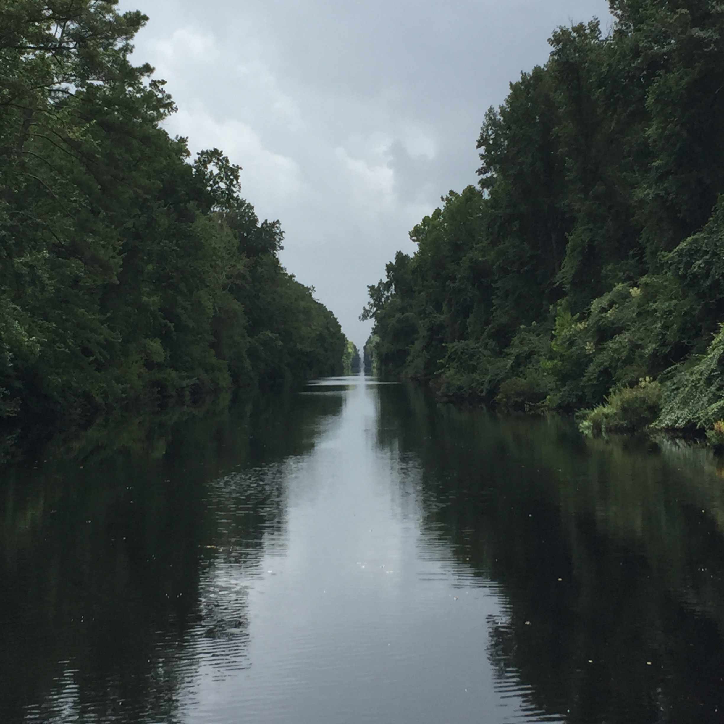
The canal looking north

Swamp in Chesapeake

2016 Bike 180: Day 122 - Corn
Lake Drummond Canal

The Great Dismal Swamp and more

Hurricane Mathew 2016

3000 North Carolina Img_17594

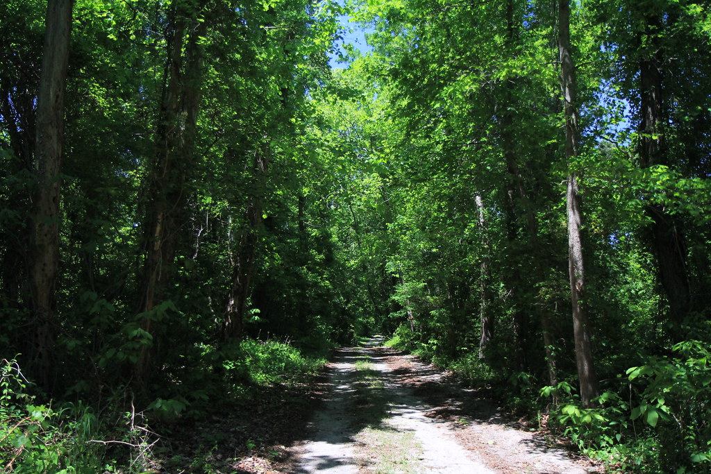
GDS Trail
Great Dismal Swamp

Soybeans in southern Virginia

Hurricane Relief 2017

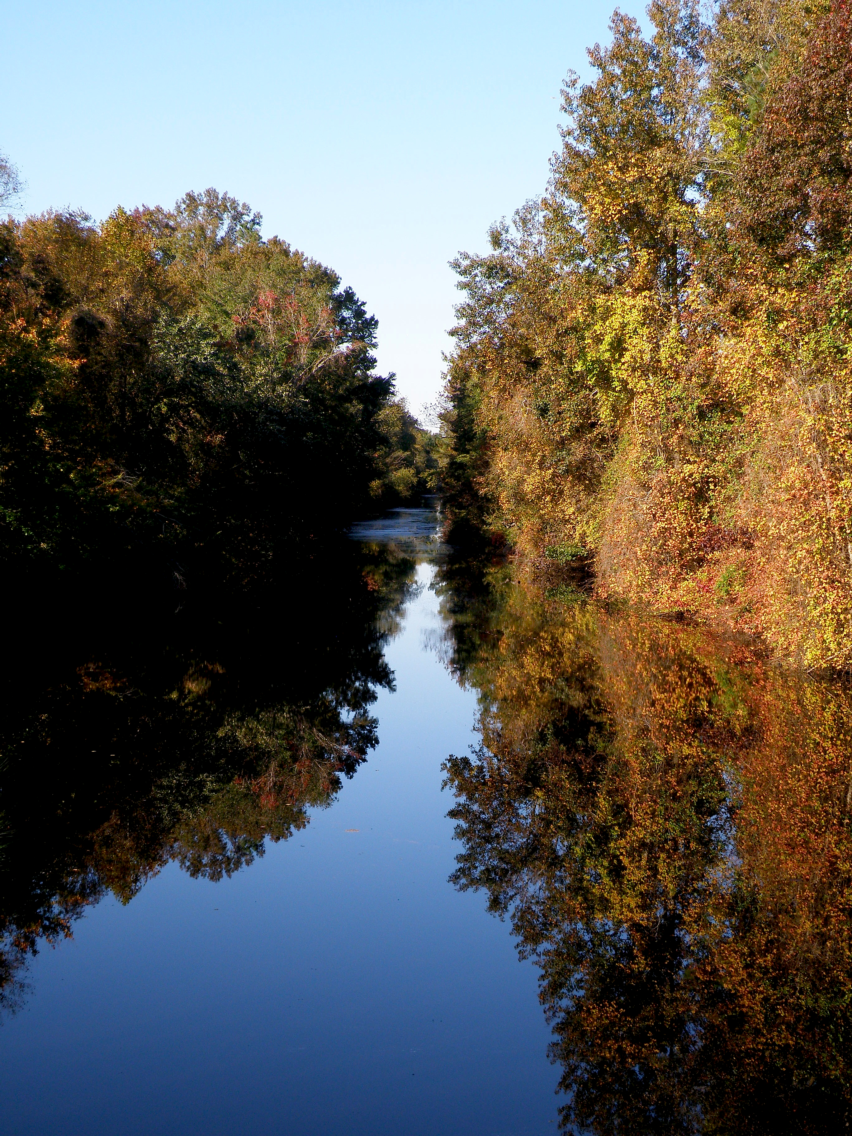
Dismal Swamp, VA

Dismal Swamp Canal Road

Dismal Swamp Canal Road

Dismal Swamp, VA
Dismal Swamp Canal Road
Topographic Map of Dock Landing Loop, South Mills, NC, USA
Find elevation by address:

Places near Dock Landing Loop, South Mills, NC, USA:
South Mills
107 Waterway Ct
108 Walking Path Court
321 Pudding Ridge Rd
South Mills
107 Mccoy Rd
100 Deer Trail
1439 Brothers Ln
Firetower Road
1497 Northside Rd
Great Dismal Swamp
46 Stocks Ln
Holly Grove
Corapeake
40 Knight Ln
Savage Rd, Corapeake, NC, USA
Hunters Mill
Keys Cross Rd, Hobbsville, NC, USA
16 Ruby Ln
Sunbury
Recent Searches:
- Elevation of Estates Loop, Priest River, ID, USA
- Elevation of Woodland Oak Pl, Thousand Oaks, CA, USA
- Elevation of Brownsdale Rd, Renfrew, PA, USA
- Elevation of Corcoran Ln, Suffolk, VA, USA
- Elevation of Mamala II, Sariaya, Quezon, Philippines
- Elevation of Sarangdanda, Nepal
- Elevation of 7 Waterfall Way, Tomball, TX, USA
- Elevation of SW 57th Ave, Portland, OR, USA
- Elevation of Crocker Dr, Vacaville, CA, USA
- Elevation of Pu Ngaol Community Meeting Hall, HWHM+3X7, Krong Saen Monourom, Cambodia