Elevation of Dobbins, CA, USA
Location: United States > California > Yuba County >
Longitude: -121.20606
Latitude: 39.3715576
Elevation: 531m / 1742feet
Barometric Pressure: 95KPa
Elevation Map:
Satellite Map:
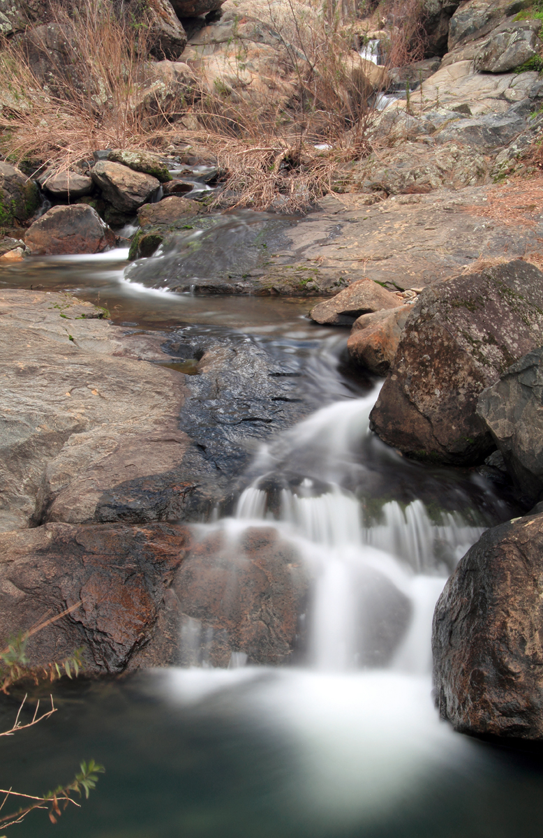
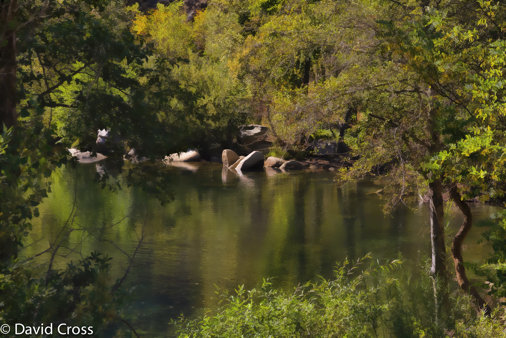
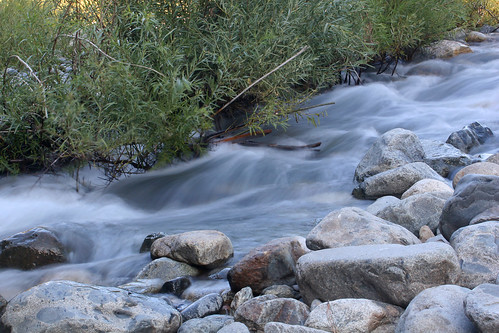
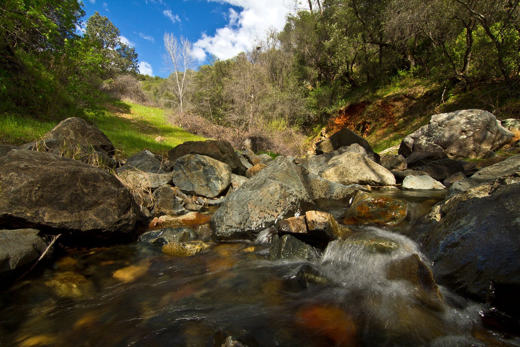
Related Photos:
Nature's Peace
Another View to Ponder

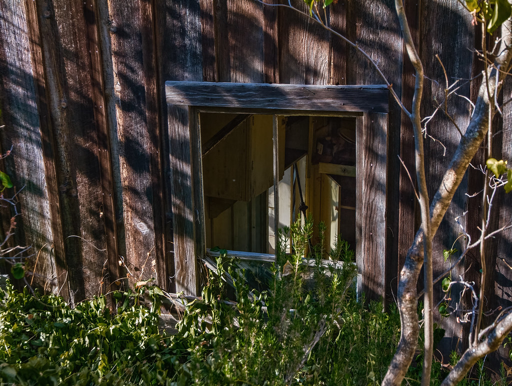
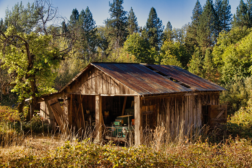
Junkyard Gems

Junkyard Guardian
Half a View

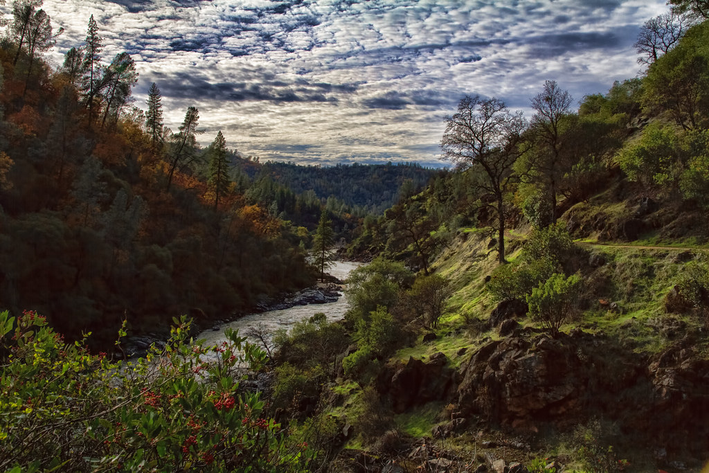
The Many Worlds of the South Yuba River (Explored)

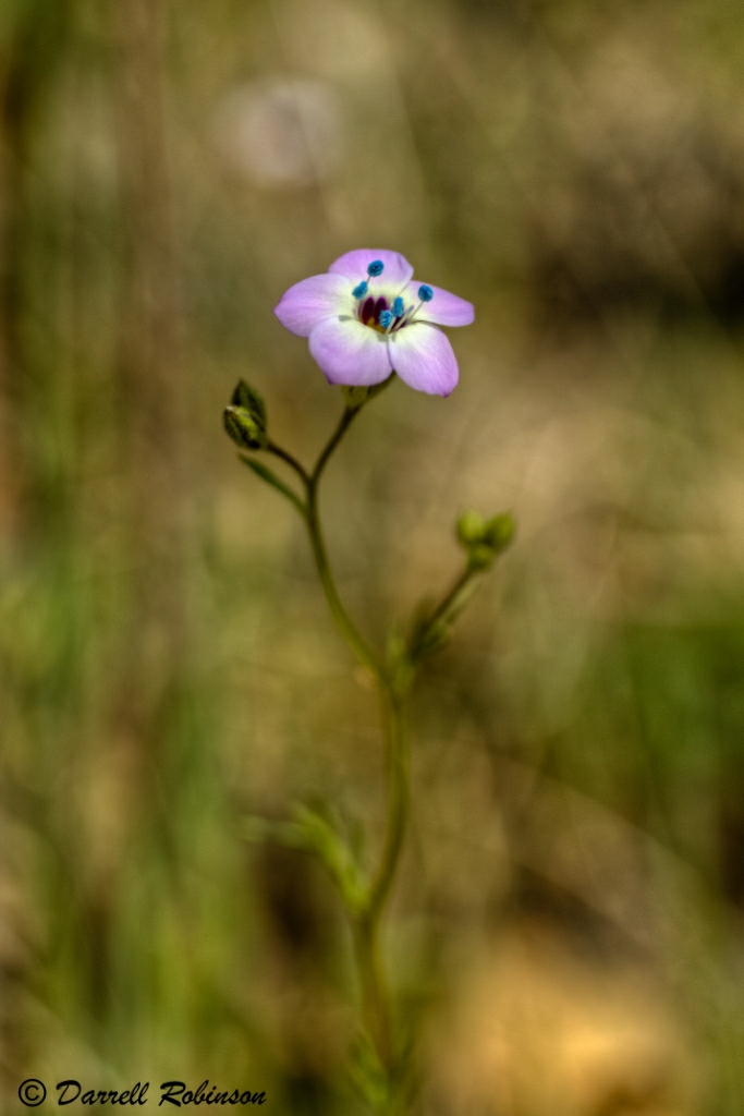
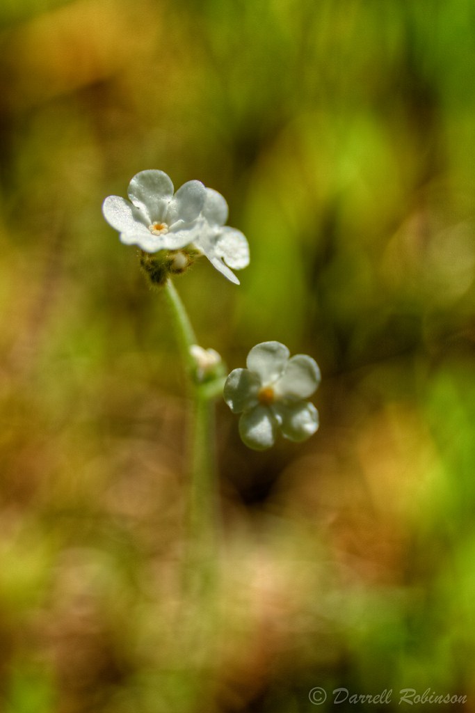
Spring Beauty

Color Burst
South Yuba River & Buttermilk Bend Trail
Time Passes
Indepedence Trail_20100329_0025b
Spring Time

Enchanted Tulips

Wells Fargo & Co. Express Building - 1853

South Yuba River Bridge (I)

Bridgeport Covered Bridge, Infrared
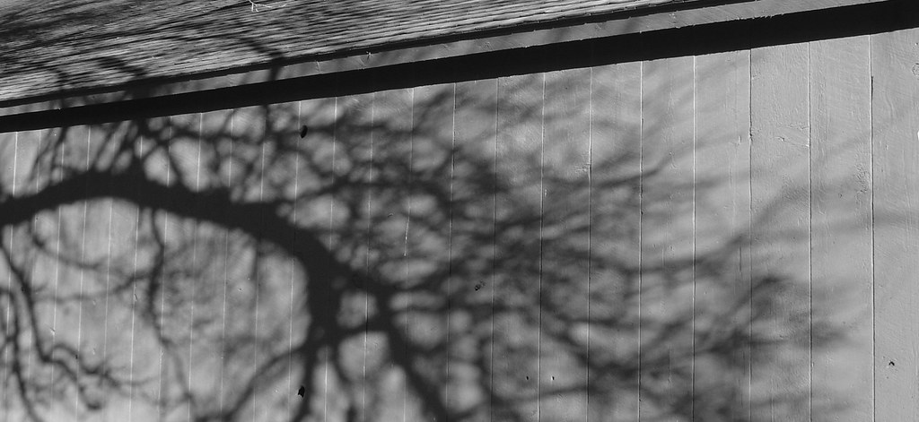
Shadow Play

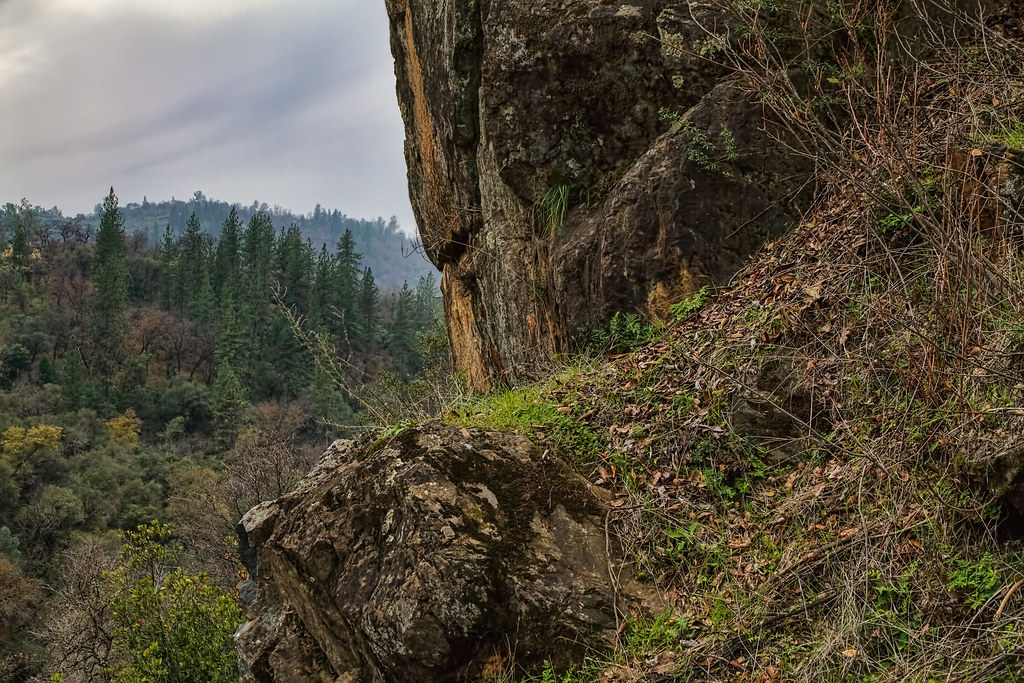
View from the Buttermilk Trail

Oregon Creek-03
Chilling with the family and enjoying the view as well as a great weekend.
The View
Rough and Ready Sunset

A Time for Giving Thanks

Taking a Walk
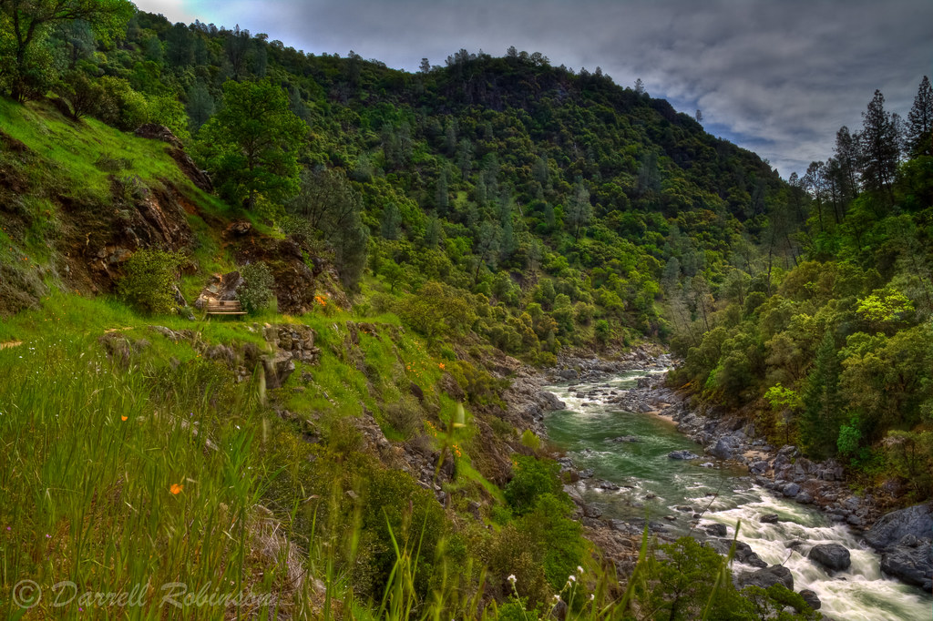
The Yuba River (Middle Fork)

Swimming Hole
French Corral Creek

South Yuba River Sunset
The Swimmin' Hole

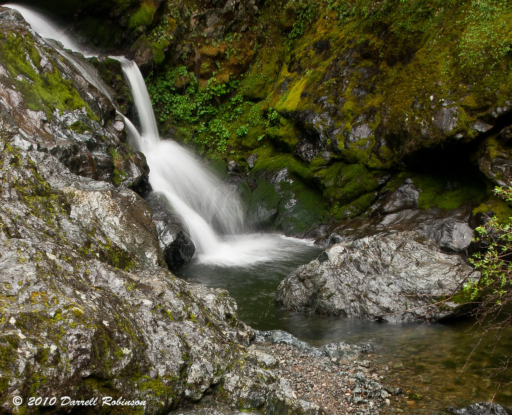
White Water
Yuba River 0177
French Corral Creek
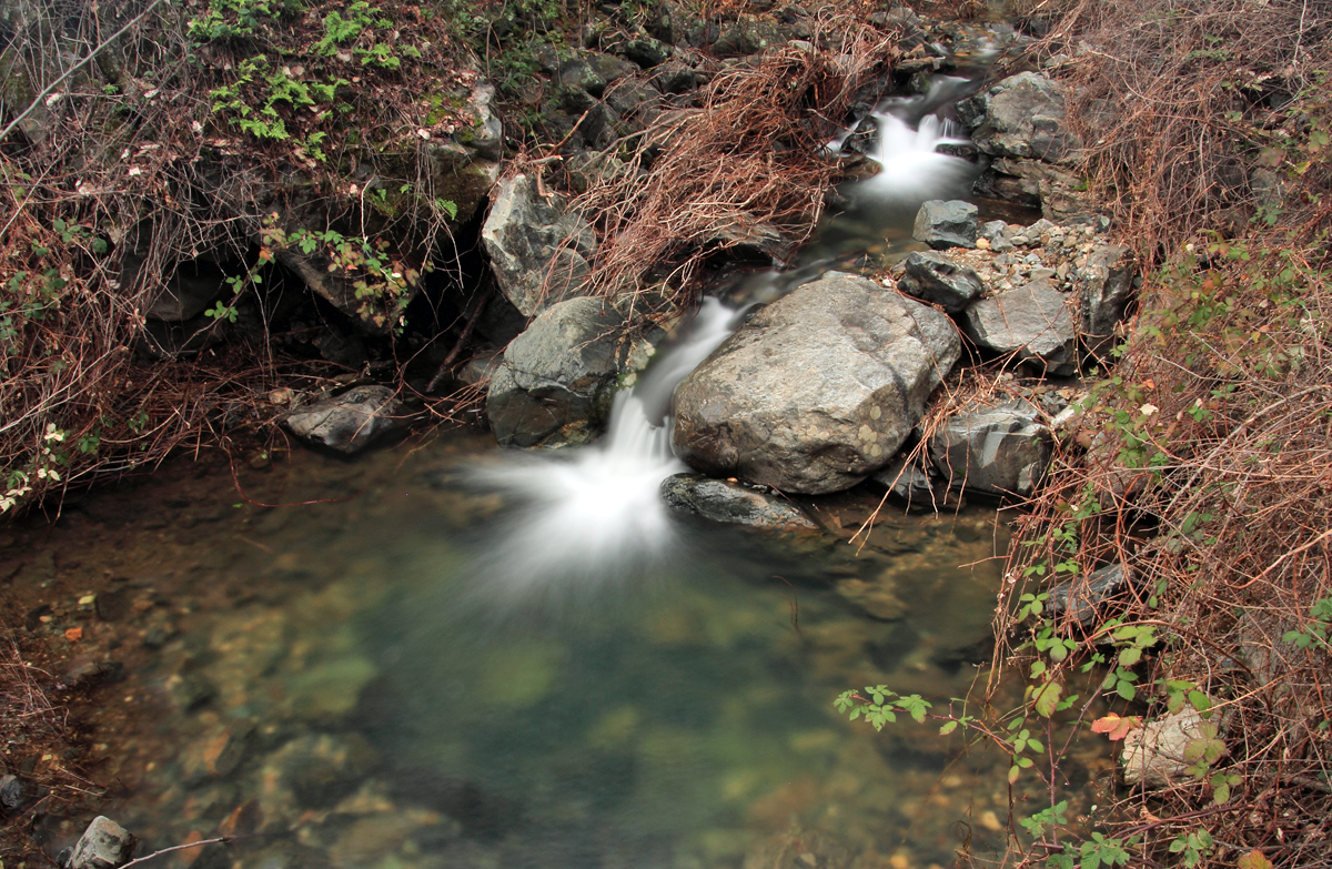
French Corral Creek
Sneaking Up (Explored)
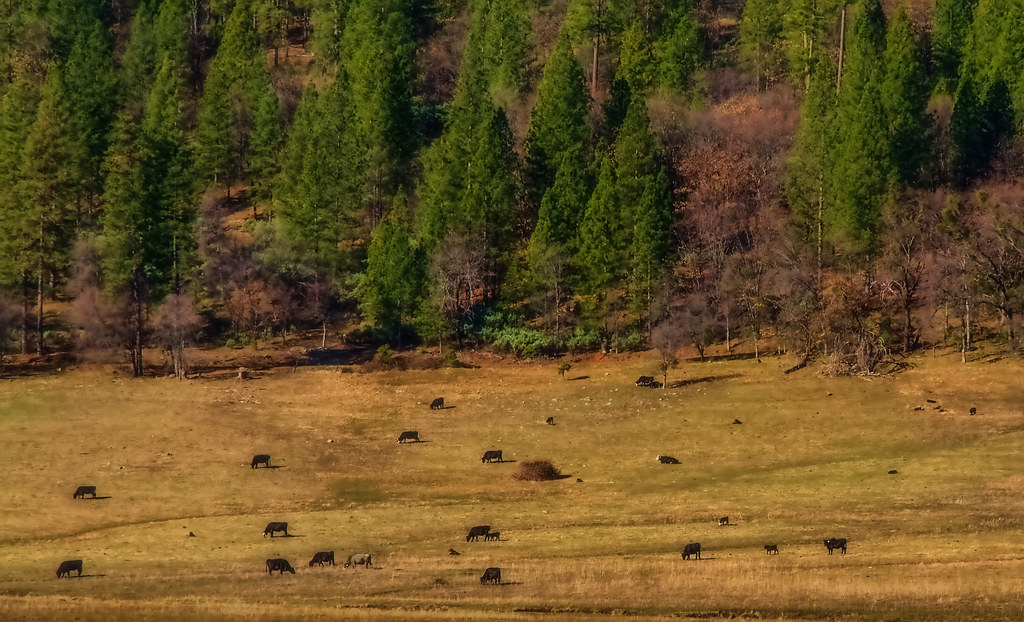
Winter Grazing

On the south Yuba River
Topographic Map of Dobbins, CA, USA
Find elevation by address:

Places in Dobbins, CA, USA:
Places near Dobbins, CA, USA:
Old Dobbins Rd, Dobbins, CA, USA
13919 Lake Frances Rd
10247 Texas Hill Rd
9670 Quail Meadow Ln
14152 Frenchtown Rd
12585 Rices Crossing Rd
Oregon House
12896 Rices Crossing Rd
19724 Pleasant Valley Rd
Co Rd 20, Oregon House, CA, USA
22752 Pleasant Valley Rd
Pleasant Valley Rd, North San Juan, CA, USA
Pleasant Valley Rd, North San Juan, CA, USA
Pleasant Valley Rd, Penn Valley, CA, USA
Sebastopol Road
CA-49, Nevada City, CA, USA
25706 Ca-49
Penn Valley, CA, USA
Cliff Road
13500 Cliff Rd
Recent Searches:
- Elevation of Warwick, RI, USA
- Elevation of Fern Rd, Whitmore, CA, USA
- Elevation of 62 Abbey St, Marshfield, MA, USA
- Elevation of Fernwood, Bradenton, FL, USA
- Elevation of Felindre, Swansea SA5 7LU, UK
- Elevation of Leyte Industrial Development Estate, Isabel, Leyte, Philippines
- Elevation of W Granada St, Tampa, FL, USA
- Elevation of Pykes Down, Ivybridge PL21 0BY, UK
- Elevation of Jalan Senandin, Lutong, Miri, Sarawak, Malaysia
- Elevation of Bilohirs'k