Elevation of Dixie Hwy, Ira Township, MI, USA
Location: United States > Michigan > St. Clair County > Ira Township >
Longitude: -82.681357
Latitude: 42.6898056
Elevation: 178m / 584feet
Barometric Pressure: 99KPa
Elevation Map:
Satellite Map:
Related Photos:
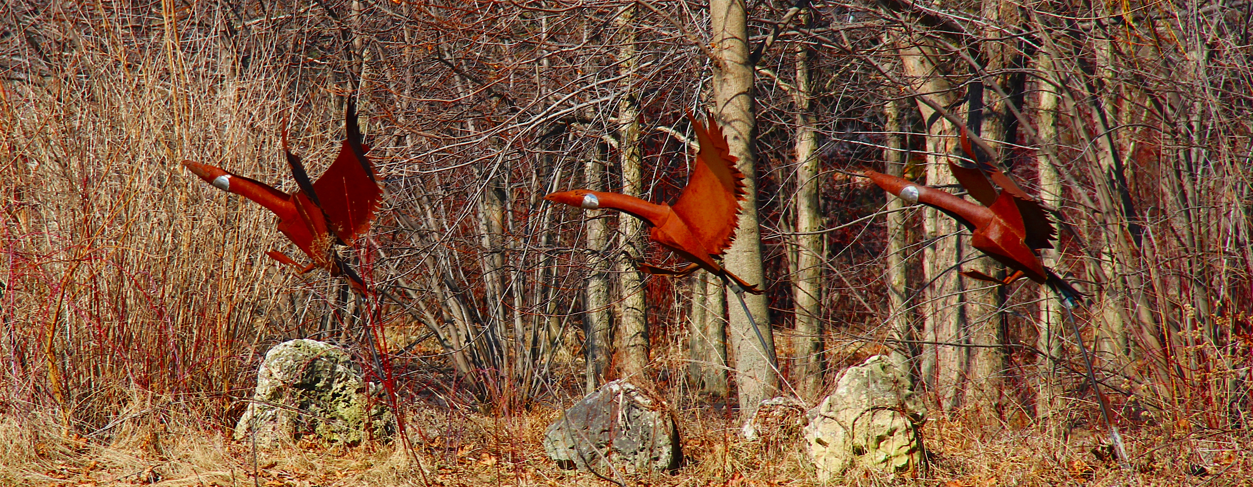
GO TEAM WORLD!!!!! Sliders Sunday - TOTAL SHUTDOWN WARRANTED!!!!!
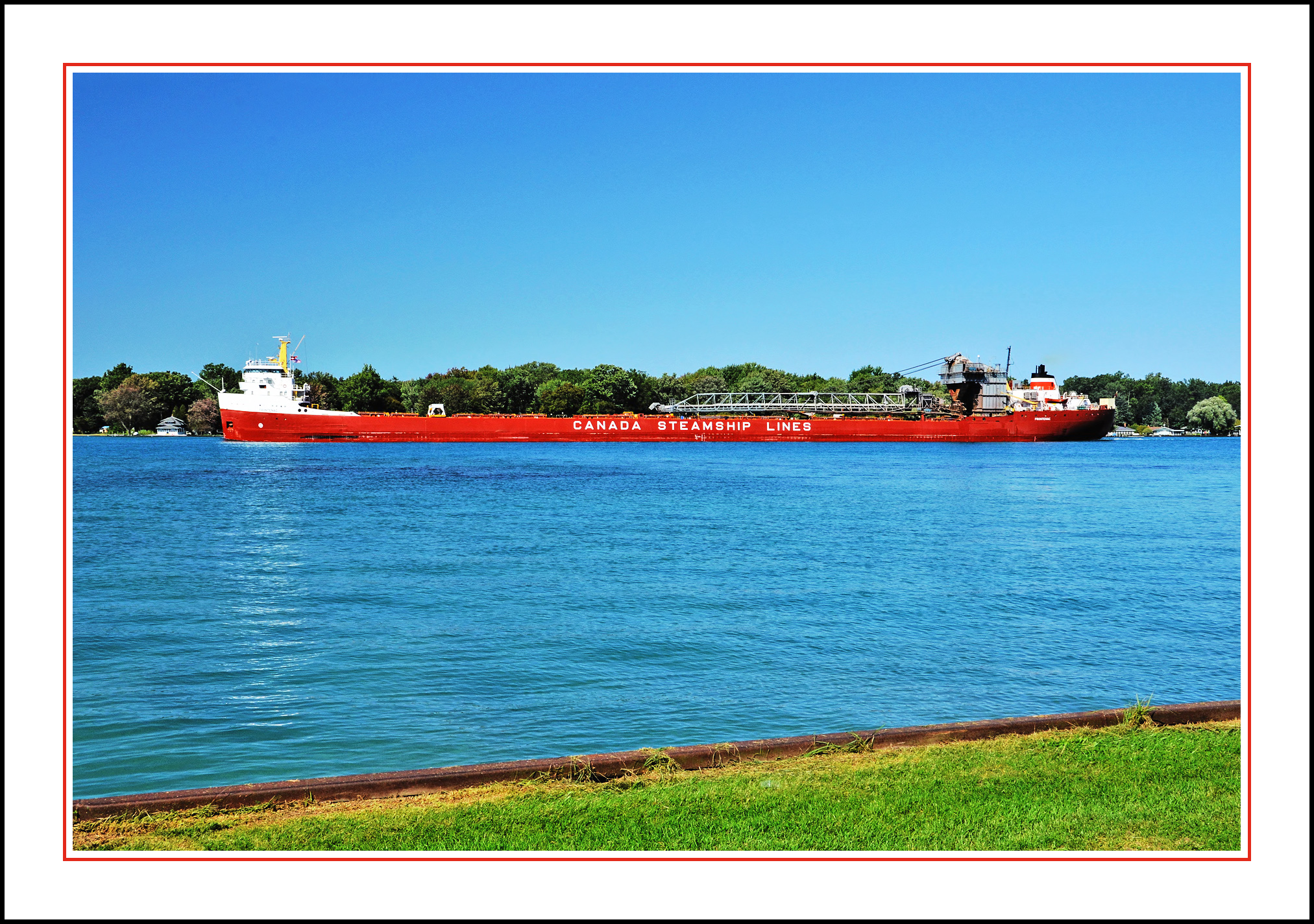
Canada Steamship Lines "Frontenac" Ore Carrier

Bonus View

City of Algonac Ferryboat at Algonac, Michigan
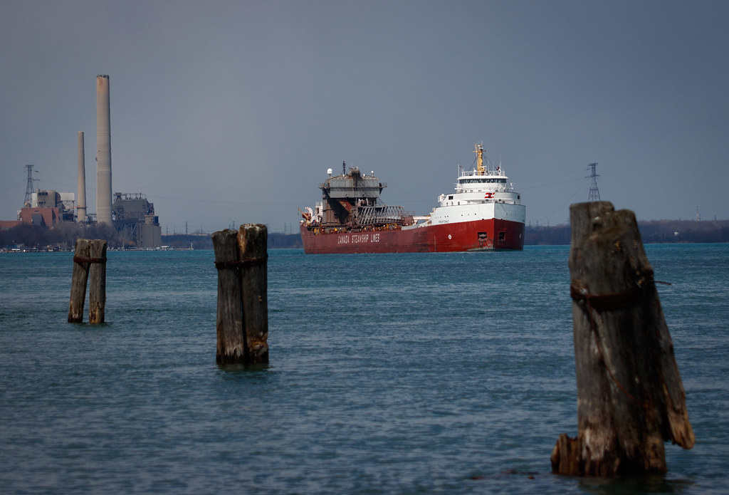
Frontenac - Marine City

The Wake follows

Sometimes the World Is Black and White

Herring Gull

Old Peche Island Rear Range Lighthouse (1908)

Sunset at Lake St. Clair Metro Park - Harrison Township, MI
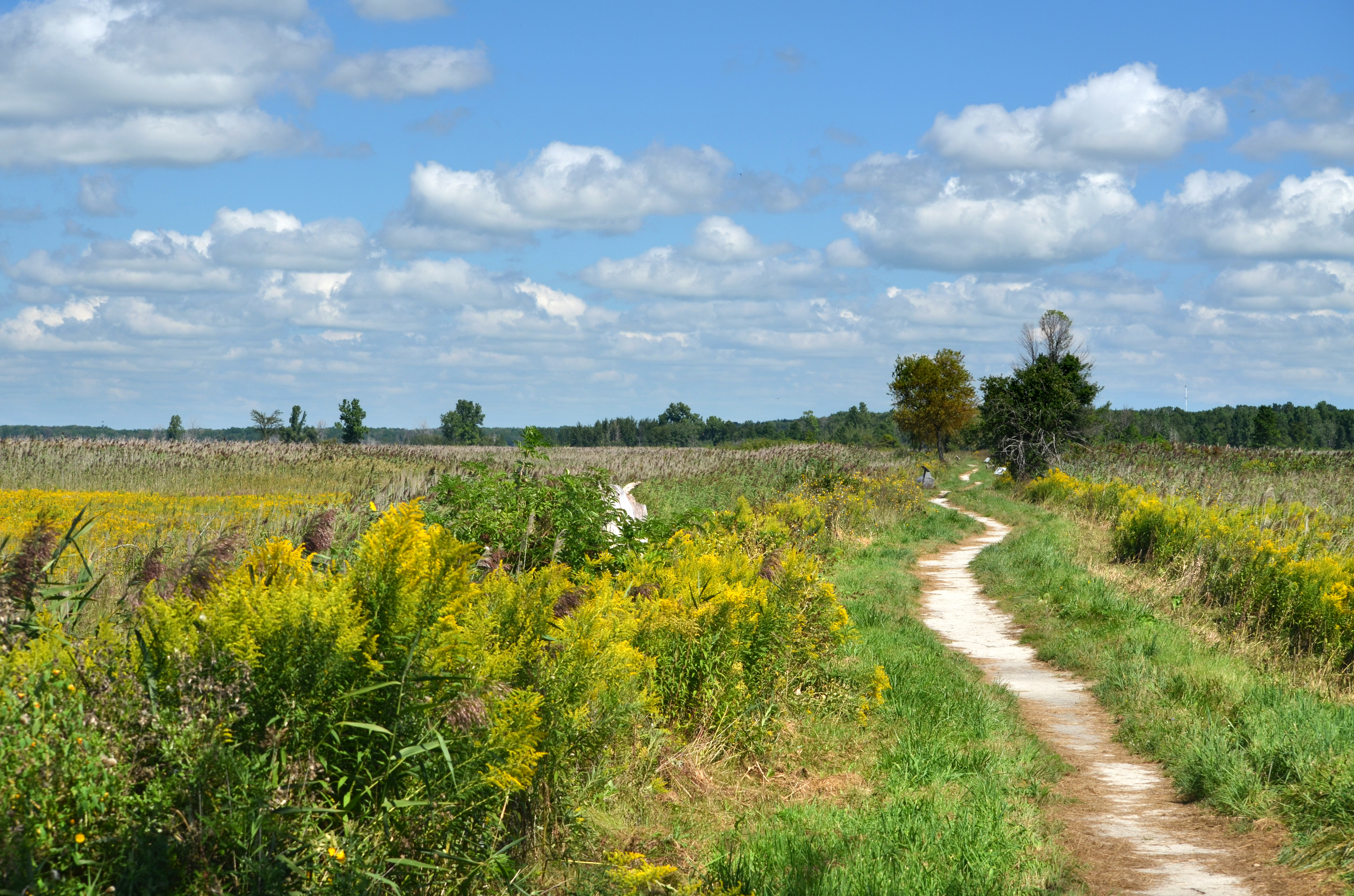
St. Johns Marsh

Brander Park

Brander Park

Go fly a kite

EOS REBEL T4i201308045388

Kayak, St. Johns Marsh

Brander Park

St. Johns Marsh DSC_0254

Ice Breaking Operations-2733

Today's weather

Song of Spring

Old Peche Island Rear Range Lighthouse (1908)

#Lake #water #boat #fishing #travel

Old Peche Island Rear Range Lighthouse (1908)

A Trail in the Fall

Where Flatness Becomes Extraordinary
Topographic Map of Dixie Hwy, Ira Township, MI, USA
Find elevation by address:

Places near Dixie Hwy, Ira Township, MI, USA:
9609 Dixie Hwy
Ira Township
8821 Short Cut Rd
8809 Short Cut Rd
9013 Dixie Hwy
Dixie Hwy, Ira Township, MI, USA
36558 St Clair Dr
Walter & Mary Burke Park, 36300 Front St
New Baltimore
Green St, New Baltimore, MI, USA
35780 Bal Clair St
35730 Bal Clair St
7248 Bluebill Rd
Bluebill Road
7394 Aqua Isle Dr
10705 St John Dr
Sequoia Circle
Sequoia Circle
Middle Channel Dr, Harsens Island, MI, USA
Chesterfield Township
Recent Searches:
- Elevation of Vista Blvd, Sparks, NV, USA
- Elevation of 15th Ave SE, St. Petersburg, FL, USA
- Elevation of Beall Road, Beall Rd, Florida, USA
- Elevation of Leguwa, Nepal
- Elevation of County Rd, Enterprise, AL, USA
- Elevation of Kolchuginsky District, Vladimir Oblast, Russia
- Elevation of Shustino, Vladimir Oblast, Russia
- Elevation of Lampiasi St, Sarasota, FL, USA
- Elevation of Elwyn Dr, Roanoke Rapids, NC, USA
- Elevation of Congressional Dr, Stevensville, MD, USA