Elevation of Division St, Brownton, MN, USA
Location: United States > Minnesota > Mcleod County > Brownton >
Longitude: -94.349747
Latitude: 44.731969
Elevation: 314m / 1030feet
Barometric Pressure: 98KPa
Elevation Map:
Satellite Map:
Related Photos:

Demo Derby!
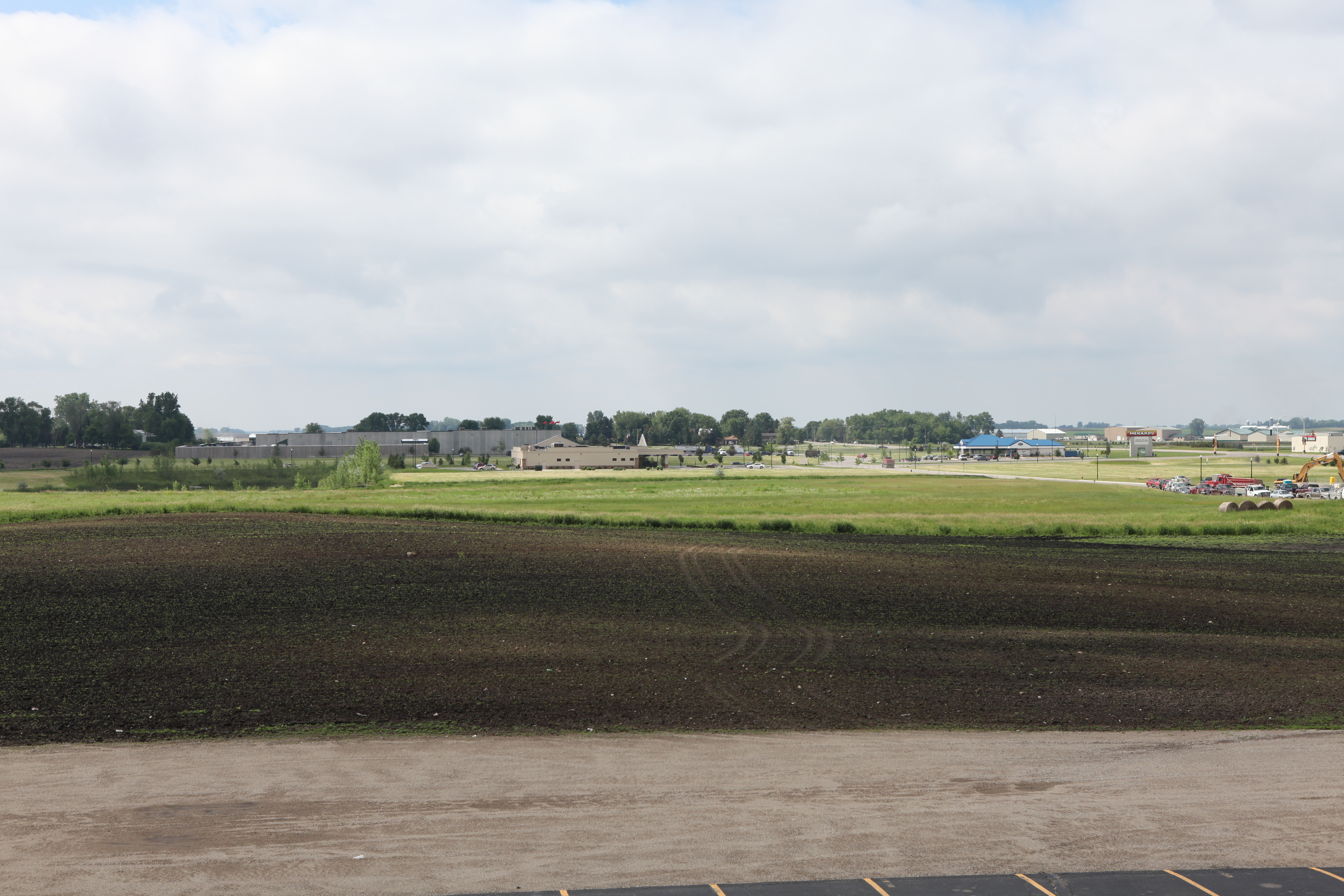
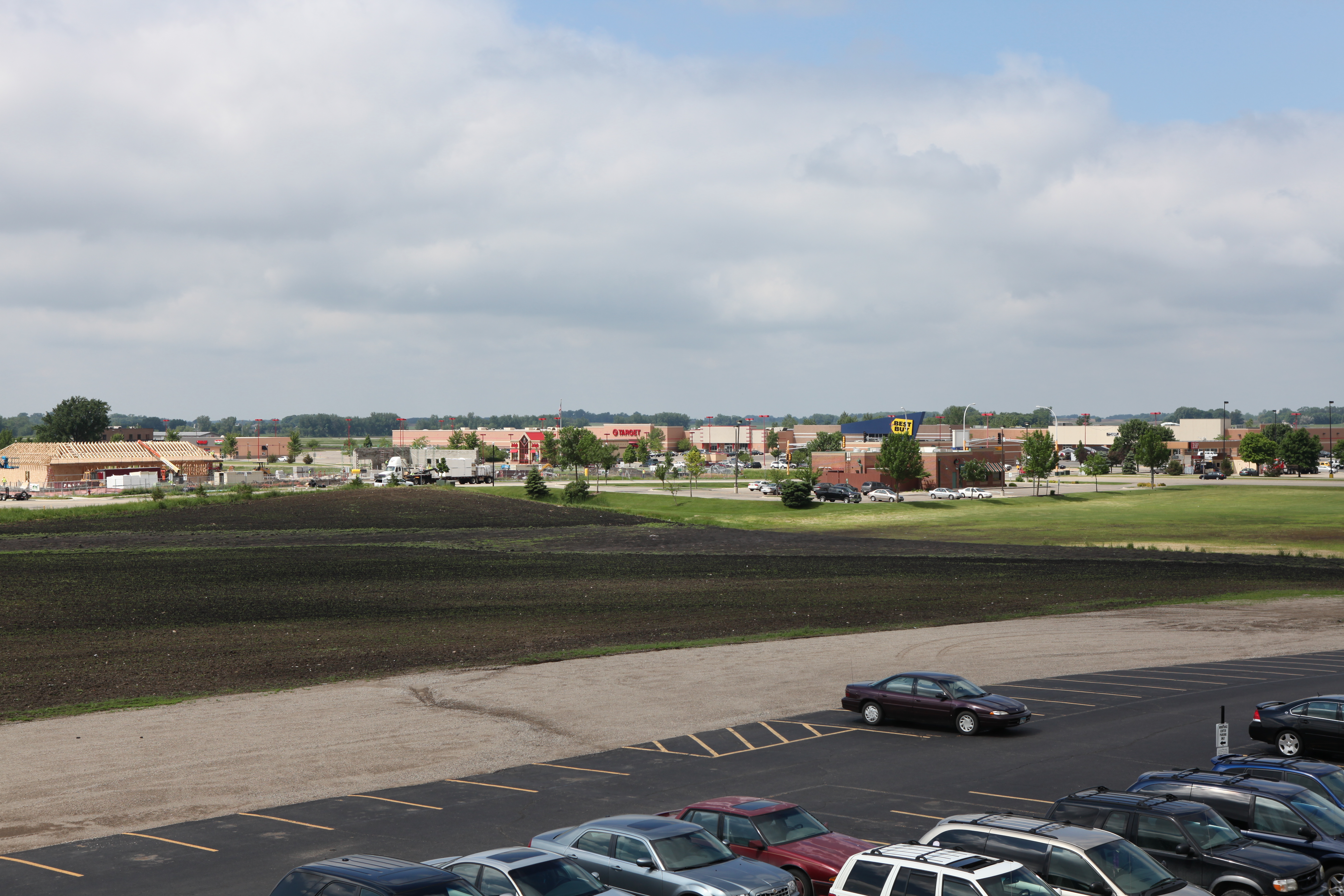
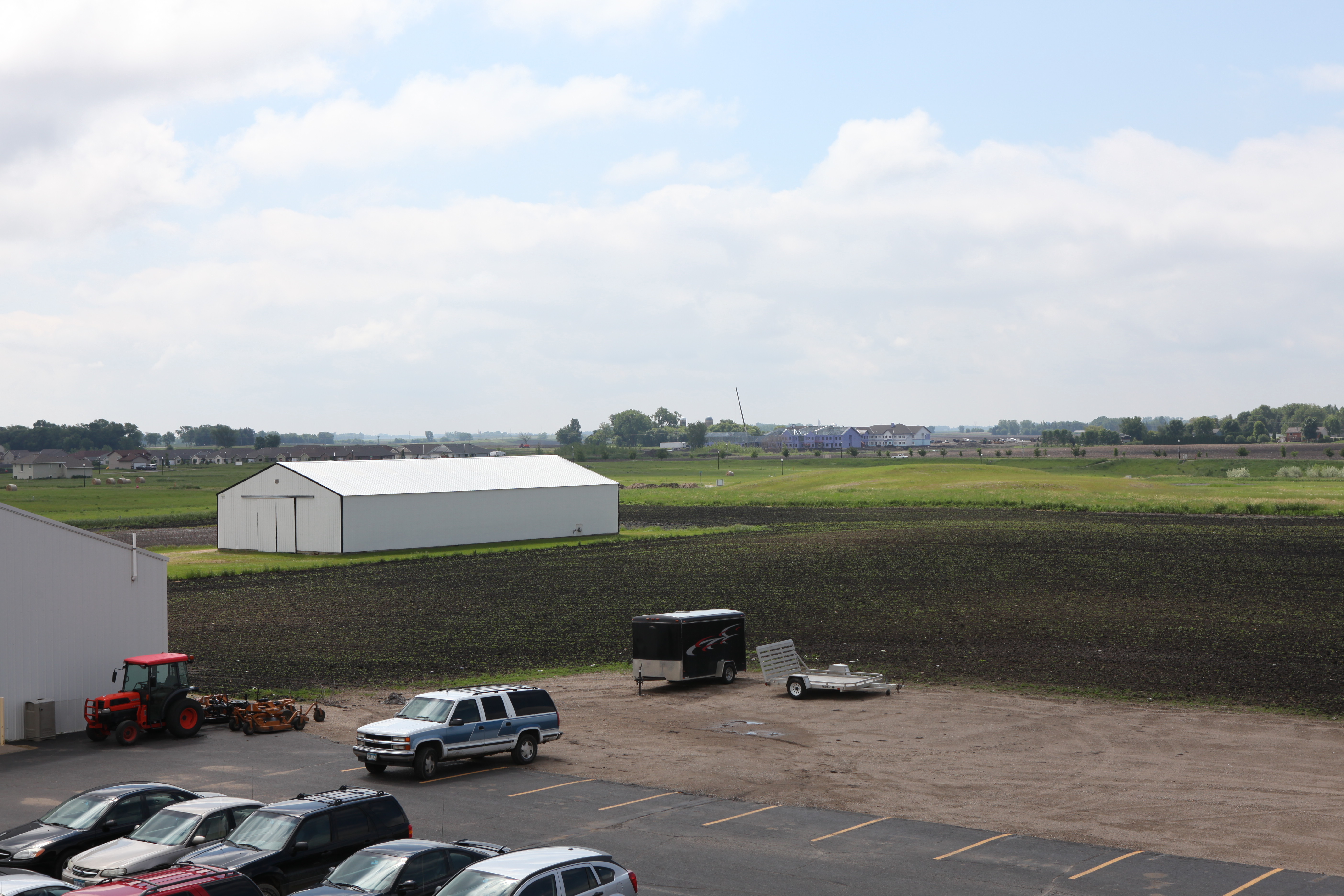
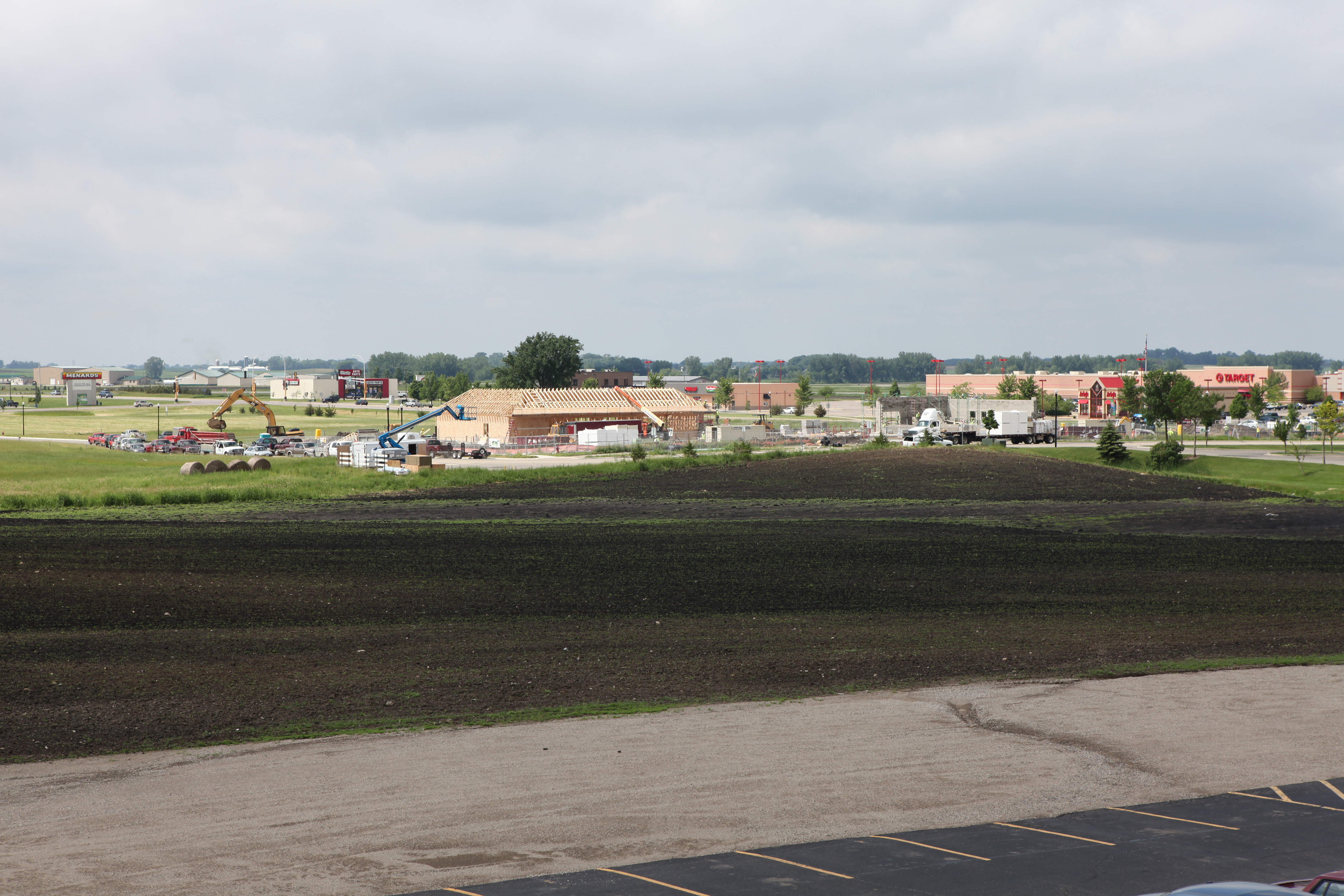
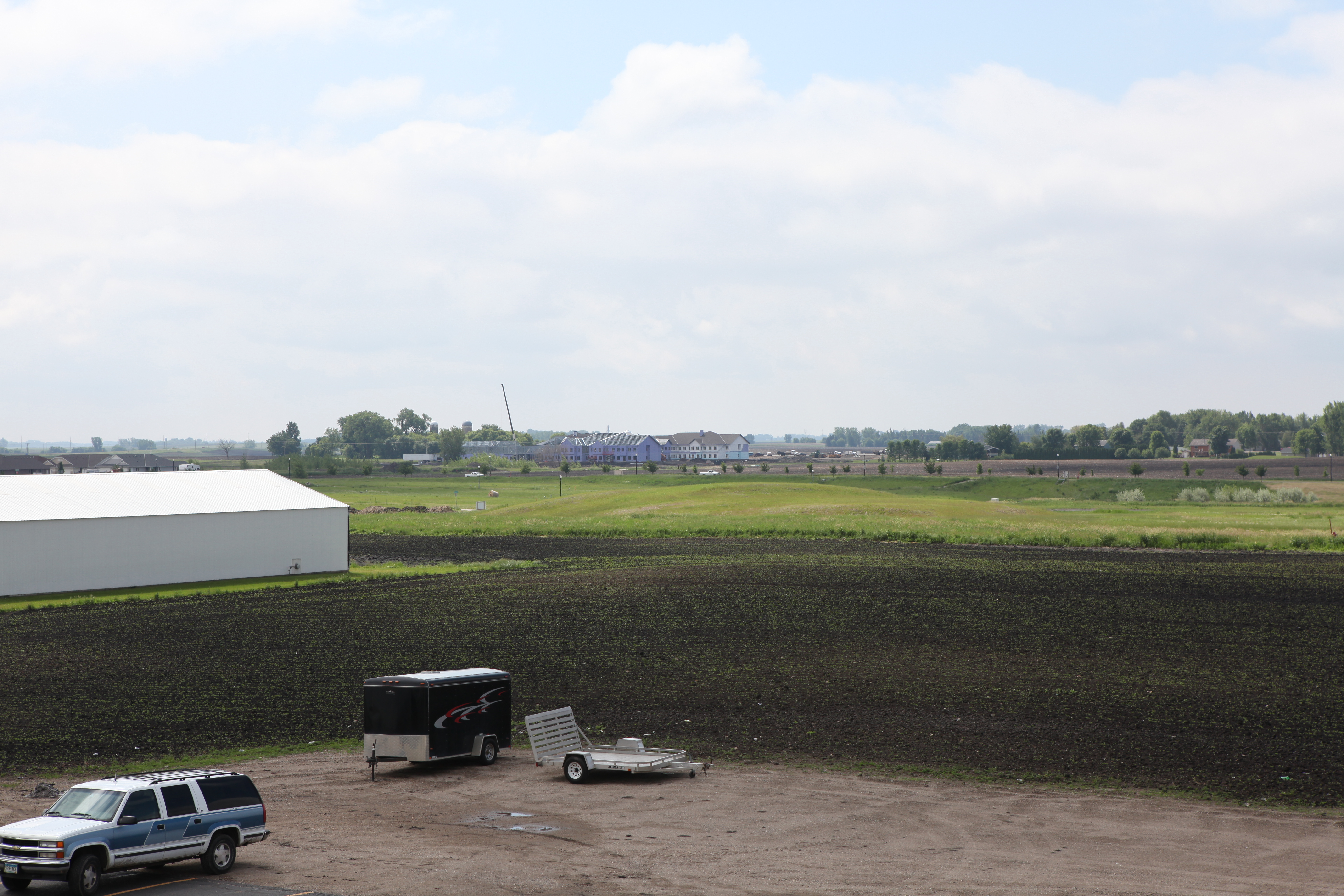
View to the south of the college 6/2011
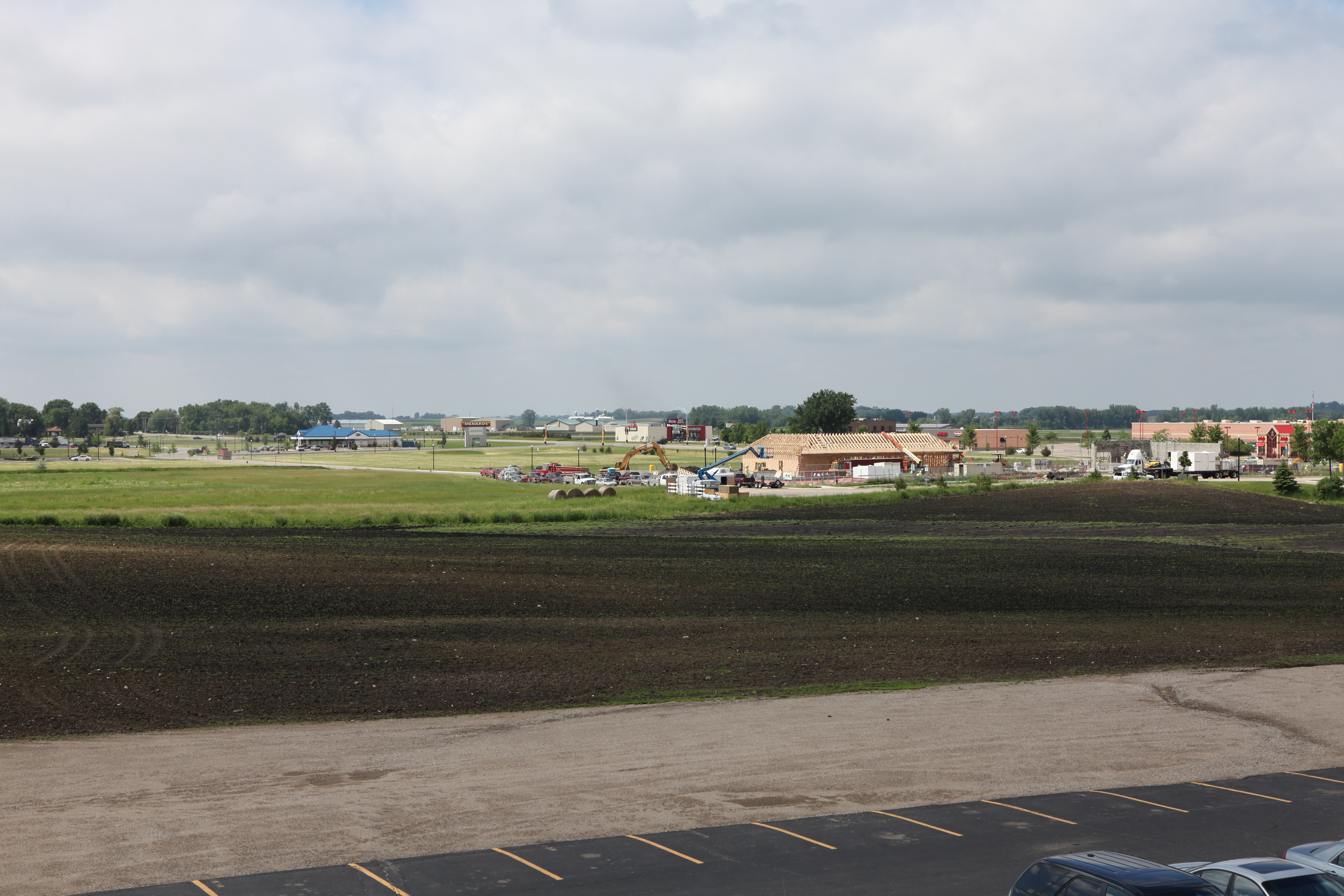
View to the south of the college 6/2011

Max Medlin and Richard Bergsrud
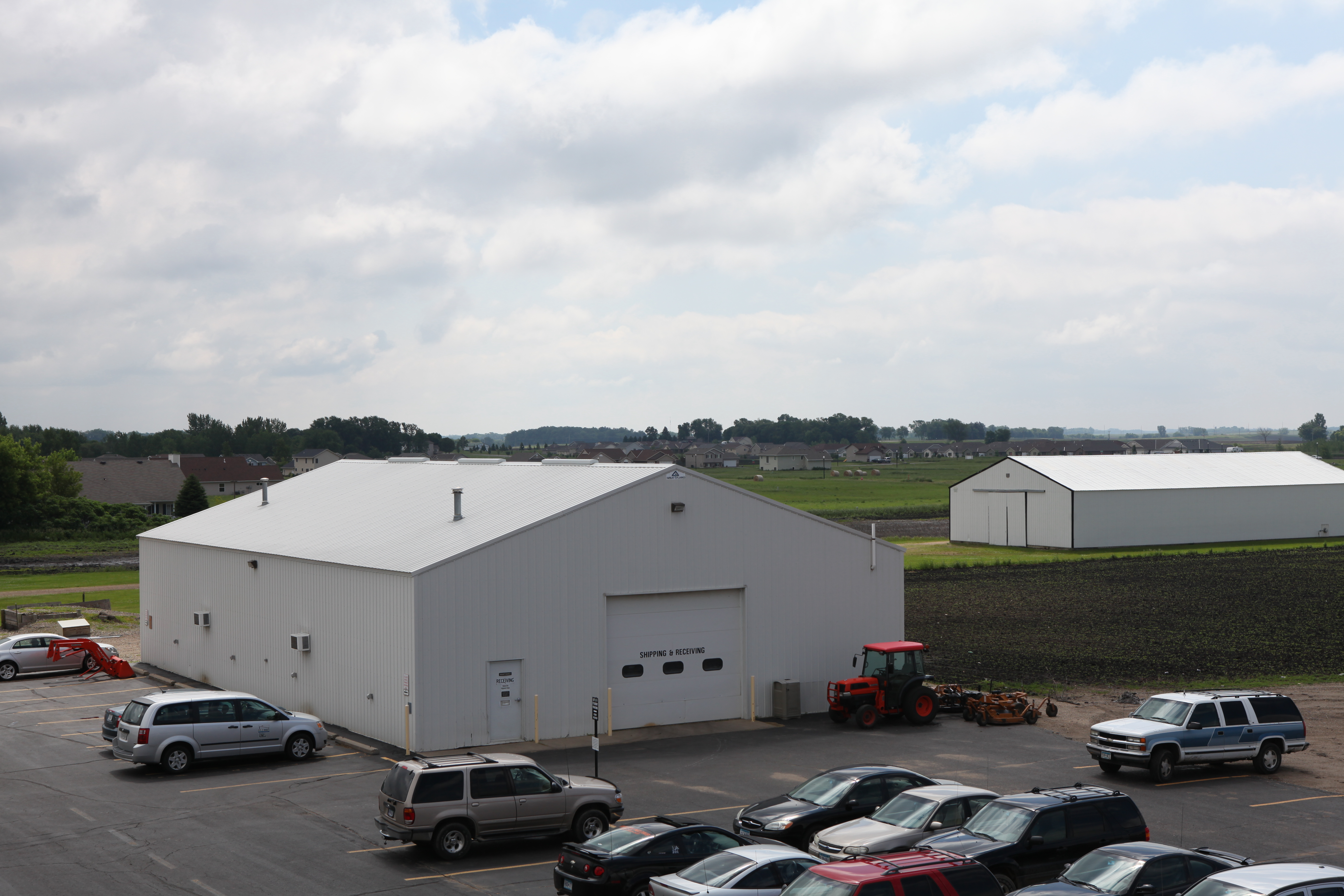
View to the south of the college 6/2011

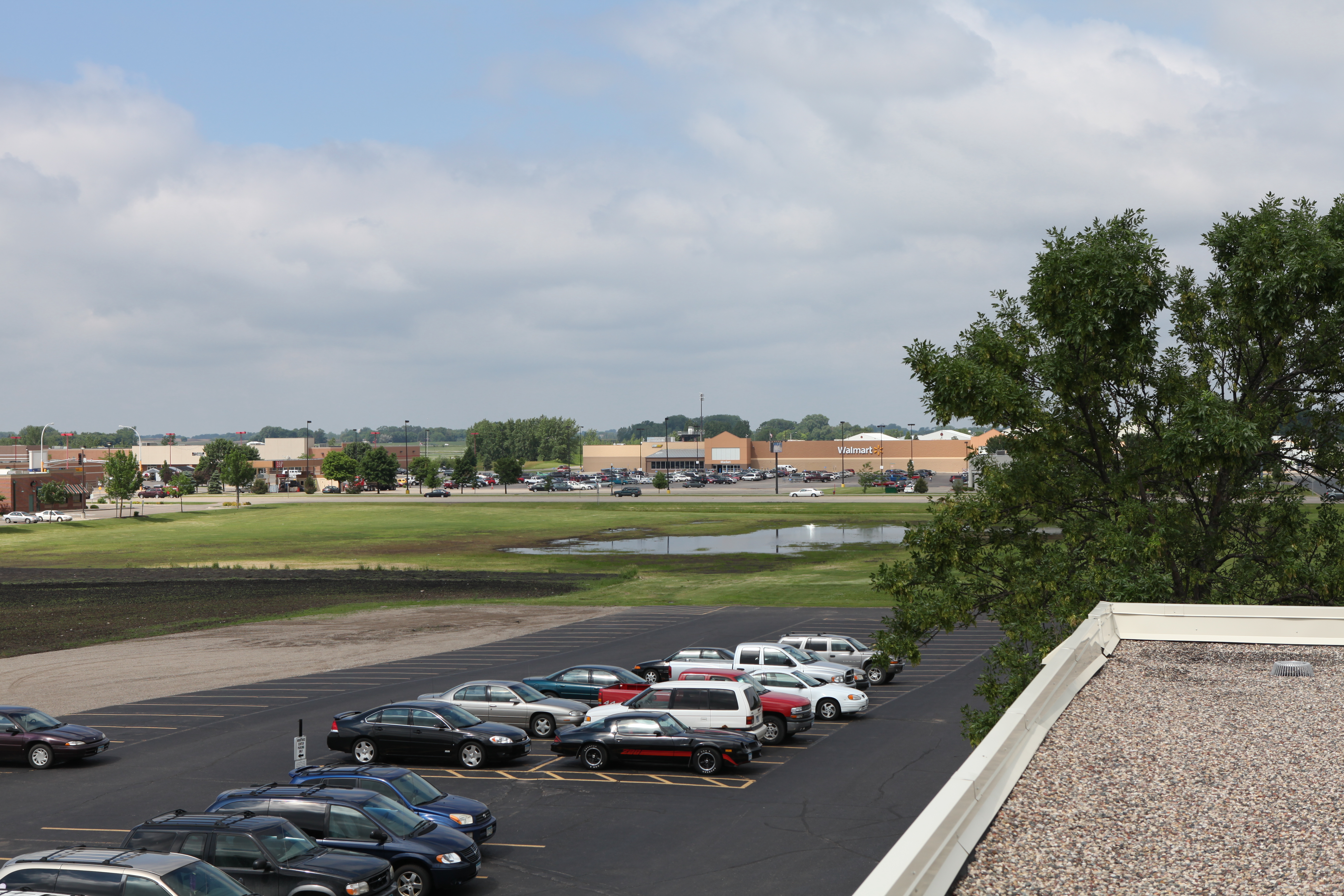
View to the south of the college 6/2011
View to the south of the college 6/2011
View to the south of the college 6/2011
View to the south of the college 6/2011
View to the south of the college 6/2011
View to the south of the college 6/2011
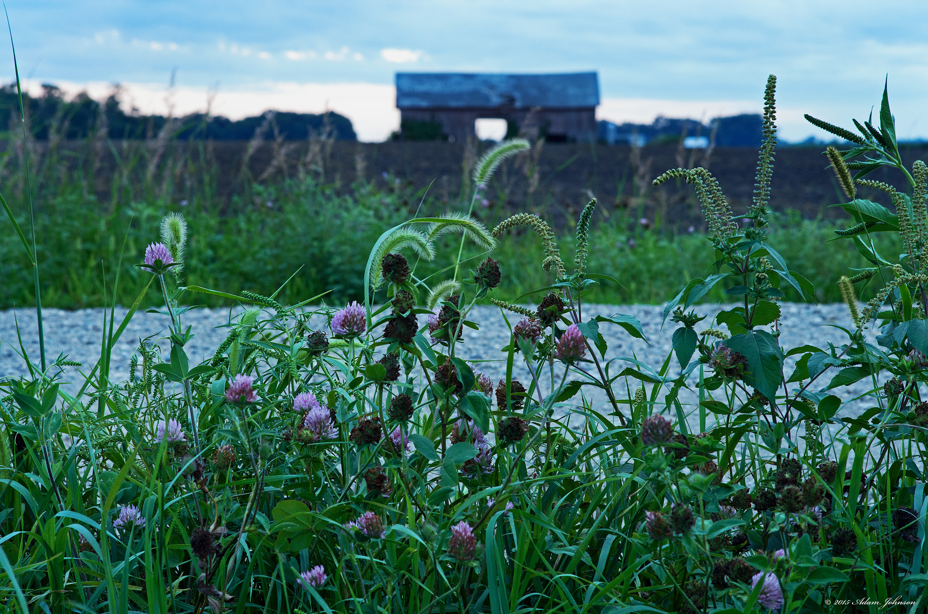
Wildflowers Along the Roadside

Weekly Photo Challenge - Great Outdoors
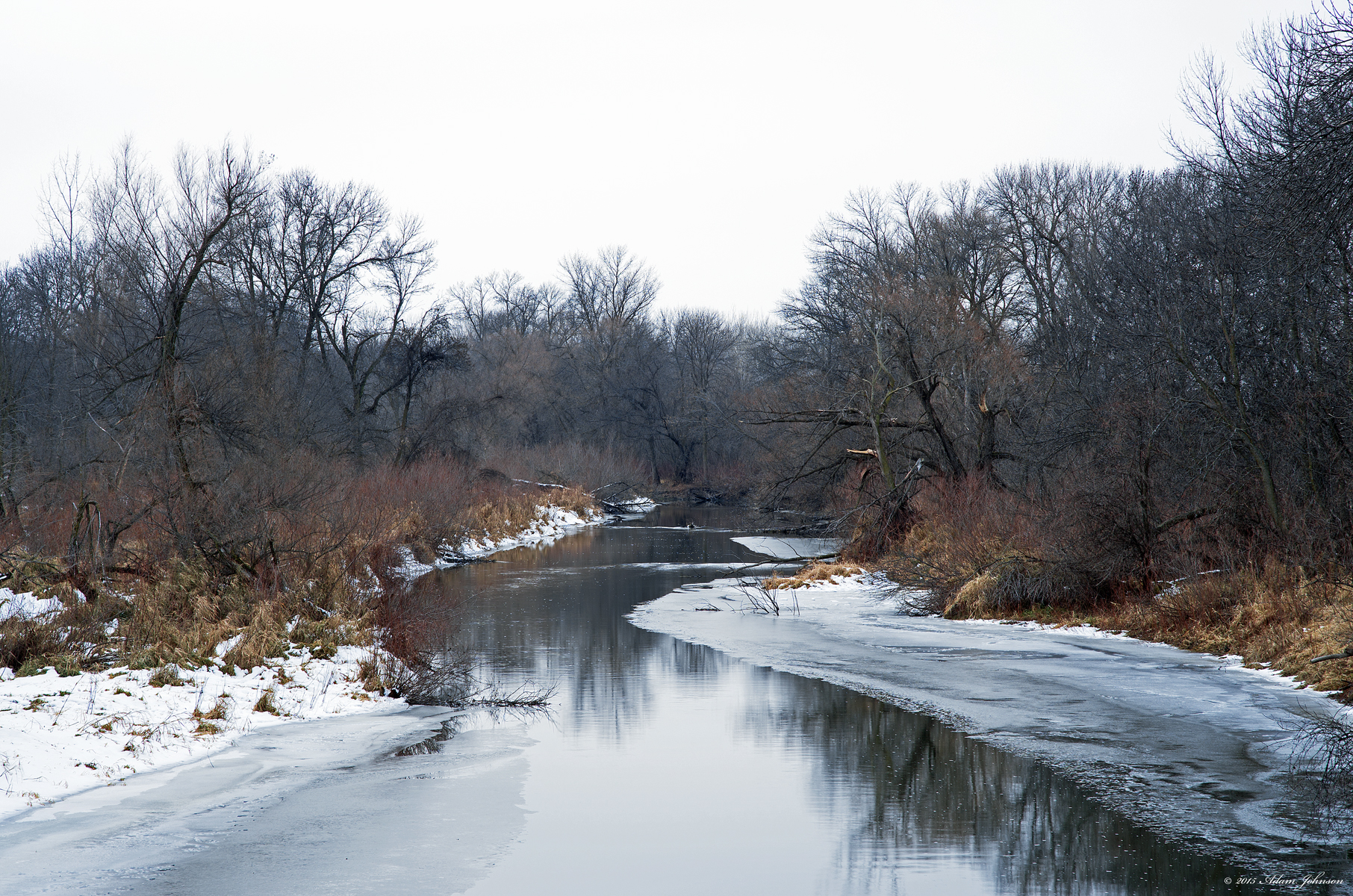
Buffalo Creek
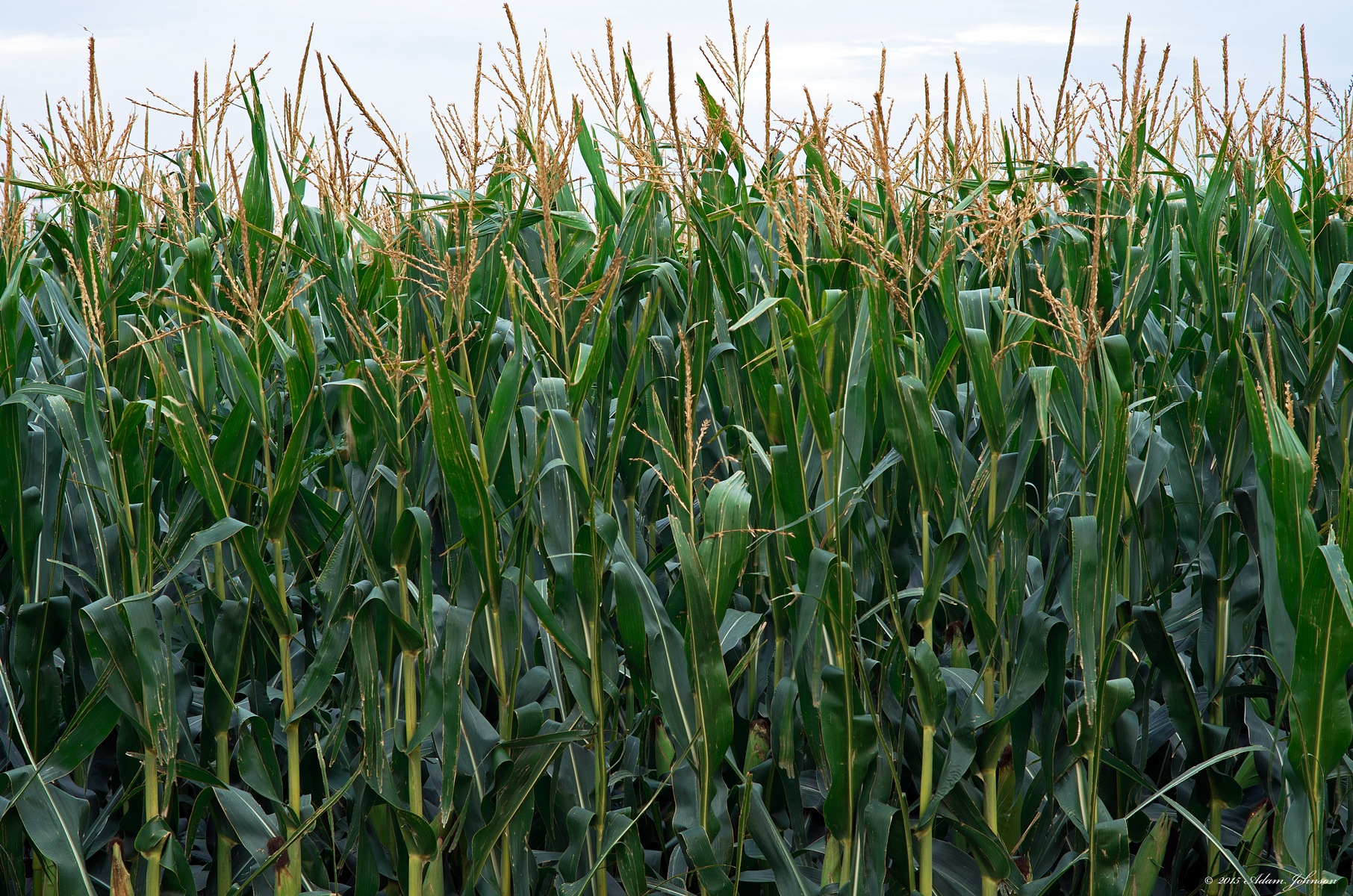
August Corn
United States, Aug 30, 2008

farm land sunset
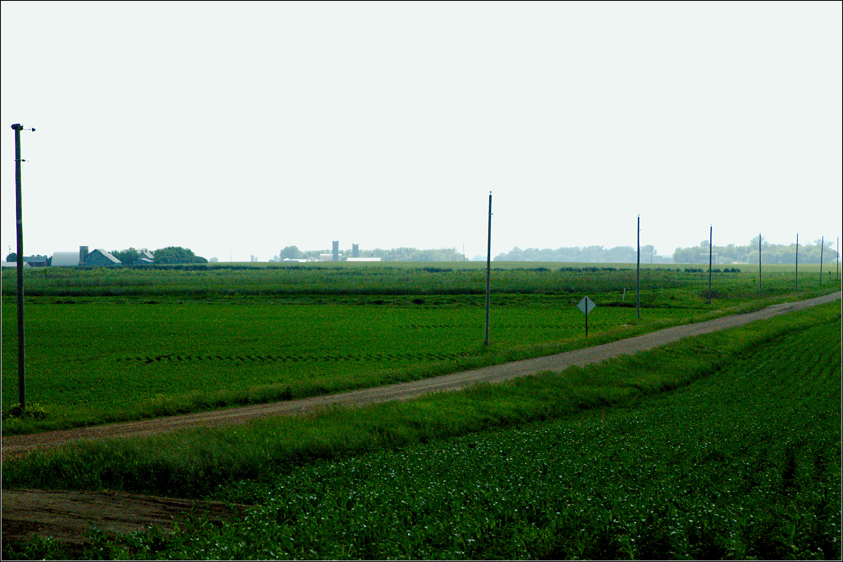
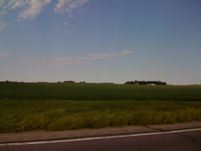
Minnesota Farmland

Sunset in middle of Nowhere

8.11.2012 - minnesota garlic festival in hutchinson

Winter Radish Field
Topographic Map of Division St, Brownton, MN, USA
Find elevation by address:

Places near Division St, Brownton, MN, USA:
638 3rd St N
Brownton
Round Grove Township
Mcleod County
551 Main St
700 Airport Rd Sw
Stewart
22712 30th St
Winthrop
311 N Renville St
201 Co Rd 57
63258 210th St
Grafton Township
th Ave, Lafayette, MN, USA
Bernadotte Township
Hector
Main St S, Hector, MN, USA
Cty Ct 5, Lafayette, MN, USA
Nicollet County
Cty Rd 5, New Ulm, MN, USA
Recent Searches:
- Elevation of Corso Fratelli Cairoli, 35, Macerata MC, Italy
- Elevation of Tallevast Rd, Sarasota, FL, USA
- Elevation of 4th St E, Sonoma, CA, USA
- Elevation of Black Hollow Rd, Pennsdale, PA, USA
- Elevation of Oakland Ave, Williamsport, PA, USA
- Elevation of Pedrógão Grande, Portugal
- Elevation of Klee Dr, Martinsburg, WV, USA
- Elevation of Via Roma, Pieranica CR, Italy
- Elevation of Tavkvetili Mountain, Georgia
- Elevation of Hartfords Bluff Cir, Mt Pleasant, SC, USA