Elevation map of District Council of Lower Eyre Peninsula, DC of Lower Eyre Peninsula, SA, Australia
Location: Australia > South Australia >
Longitude: 135.525198
Latitude: -34.445813
Elevation: 50m / 164feet
Barometric Pressure: 101KPa
Elevation Map:
Satellite Map:
Related Photos:

Ocean ballet
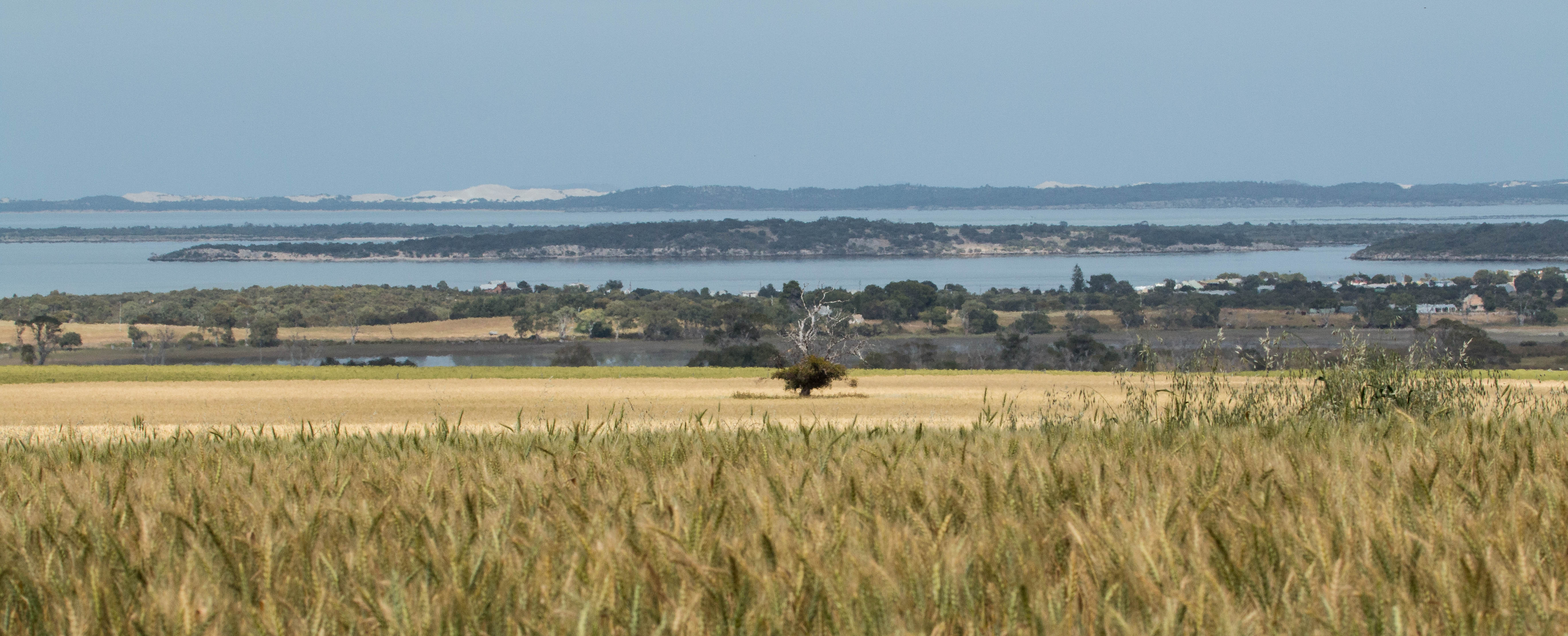
View at rest stop

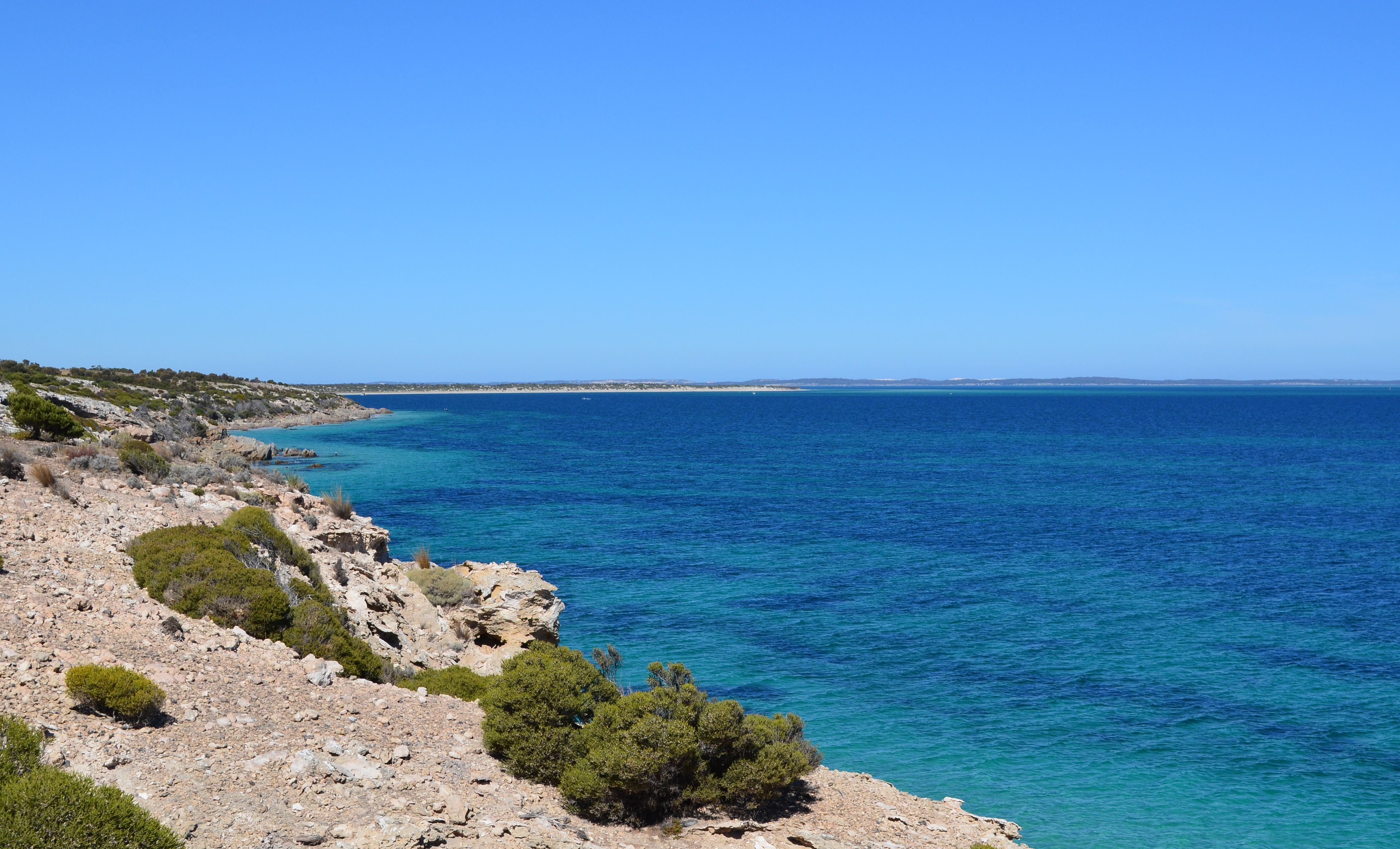
Eyre Peninsula coastline from the air
Australian coastline and Great Australian Bight
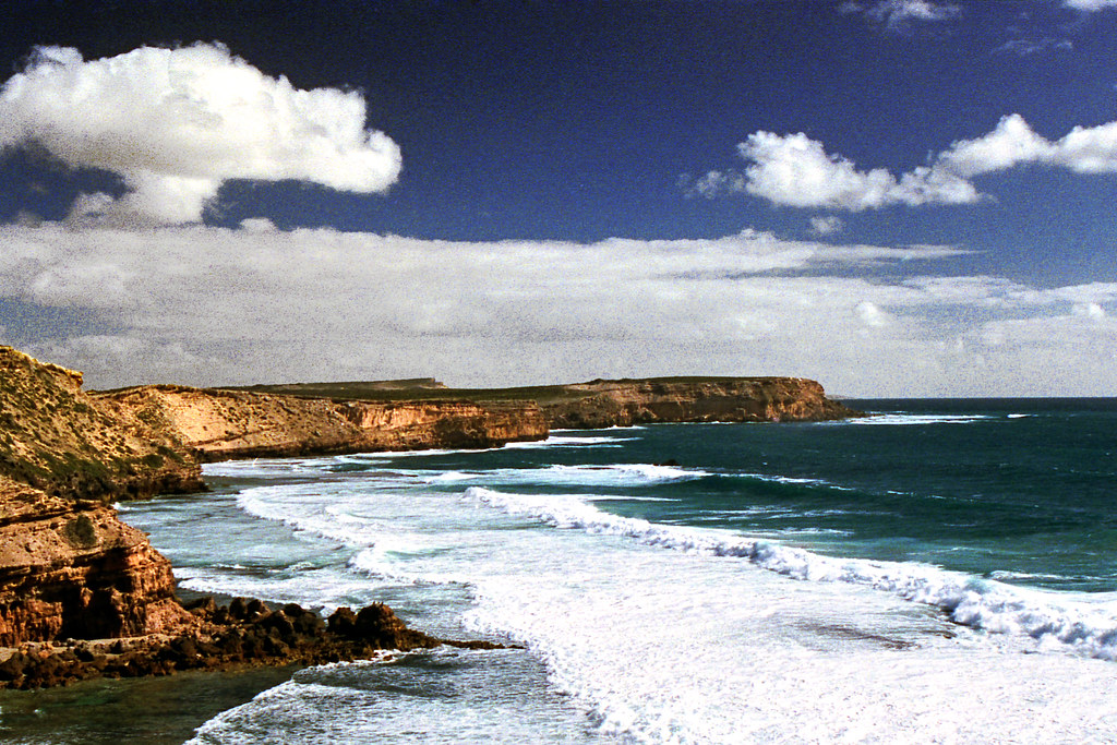
Storm clouds

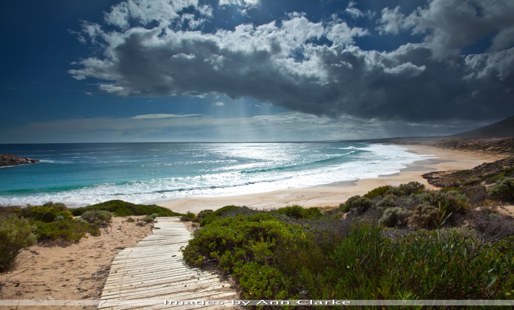
Family day surfing
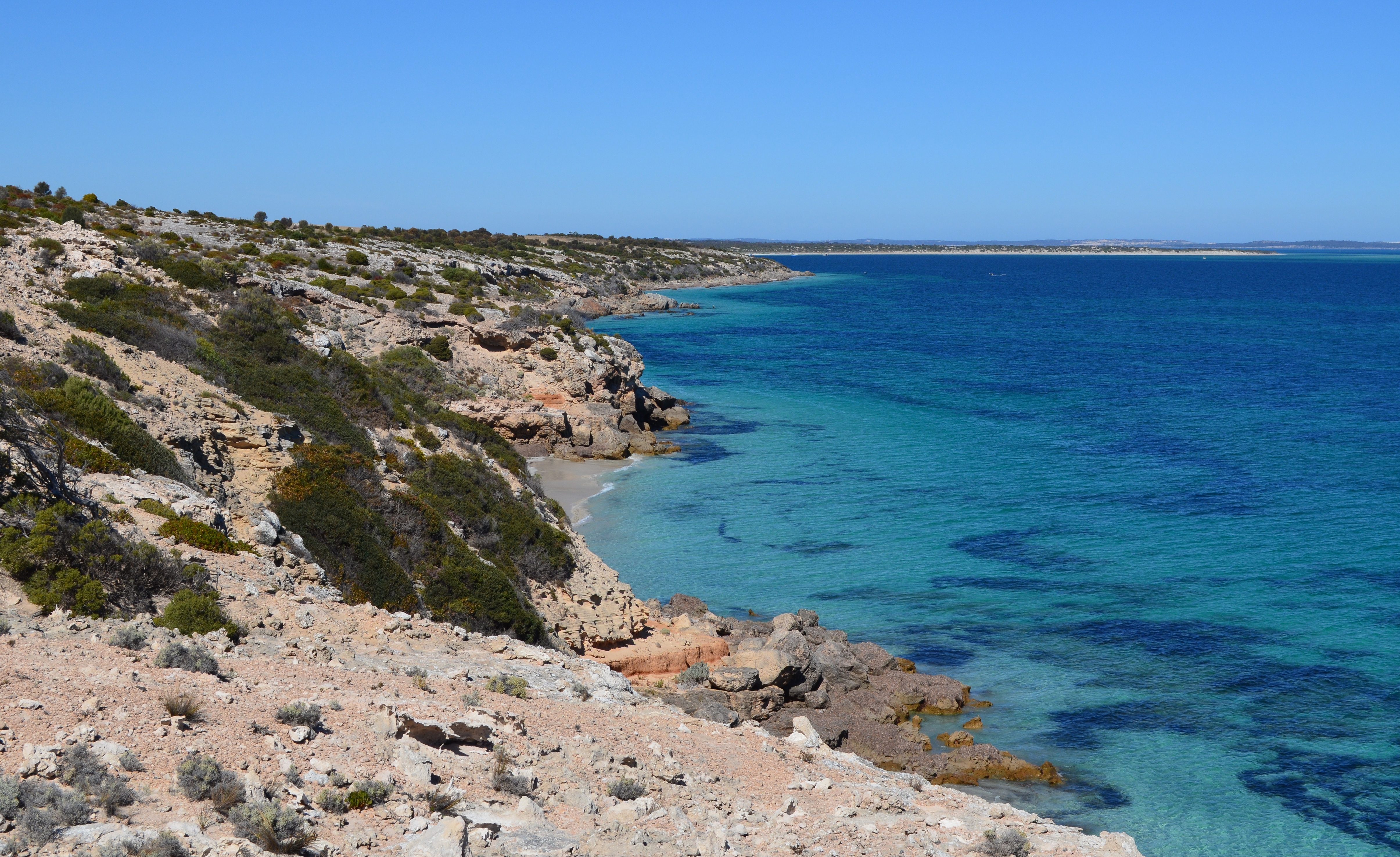
Eyre Peninsula_20120418_113010

Eyre Peninsula_20120418_114546

Eyre Peninsula_20120418_113040
Eyre Peninsula_20120418_113916

Foggy Marble Range
Topographic Map of District Council of Lower Eyre Peninsula, DC of Lower Eyre Peninsula, SA, Australia
Find elevation by address:

Places in District Council of Lower Eyre Peninsula, DC of Lower Eyre Peninsula, SA, Australia:
Places near District Council of Lower Eyre Peninsula, DC of Lower Eyre Peninsula, SA, Australia:
Recent Searches:
- Elevation of W Prive Cir, Delray Beach, FL, USA
- Elevation of S Layton Cir W, Layton, UT, USA
- Elevation of F36W+3M, Mussoorie, Uttarakhand, India
- Elevation of Fairland Ave, Fairhope, AL, USA
- Elevation of Sunset Dr, Richmond, VA, USA
- Elevation of Grodna District, Hrodna Region, Belarus
- Elevation of Hrodna, Hrodna Region, Belarus
- Elevation of Sandia Derby Estates, Tijeras, NM, USA
- Elevation of 23 Sunrise View Ct, Tijeras, NM, USA
- Elevation of Lytham Ln, Katy, TX, USA