Elevation of Dillon, MT, USA
Location: United States > Montana > Dillon >
Longitude: -112.83788
Latitude: 45.0346471
Elevation: 1649m / 5410feet
Barometric Pressure: 83KPa
Elevation Map:
Satellite Map:
Related Photos:
Armstead, Montana
Red Rock, Montana
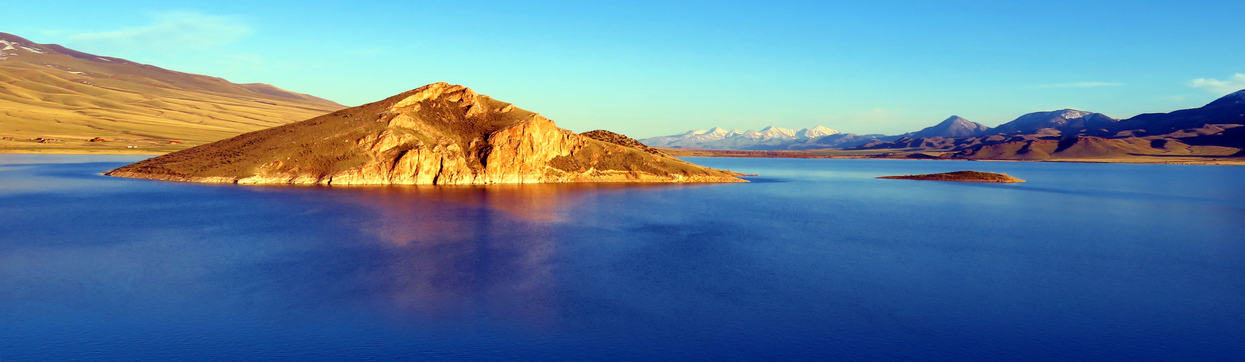
Copper Azure Panorama

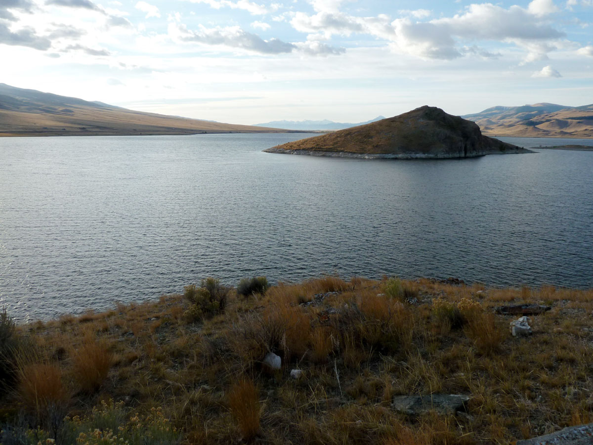
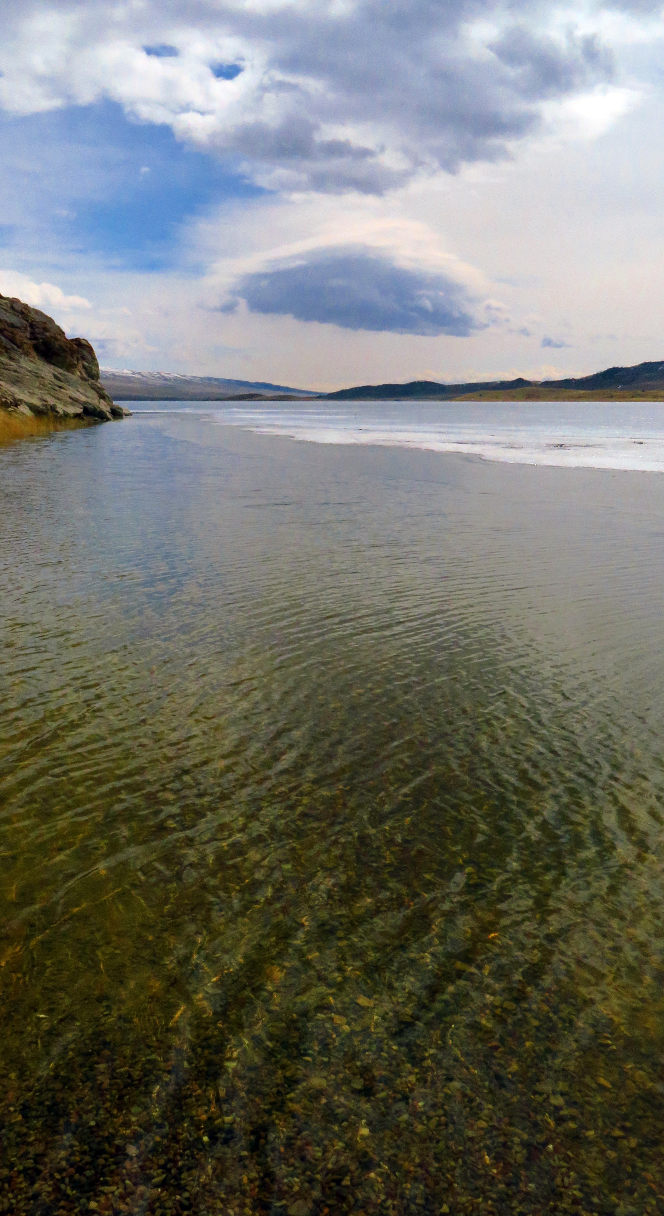
A Partially Thawed Clark Canyon Reservoir 6
Broken Hearted
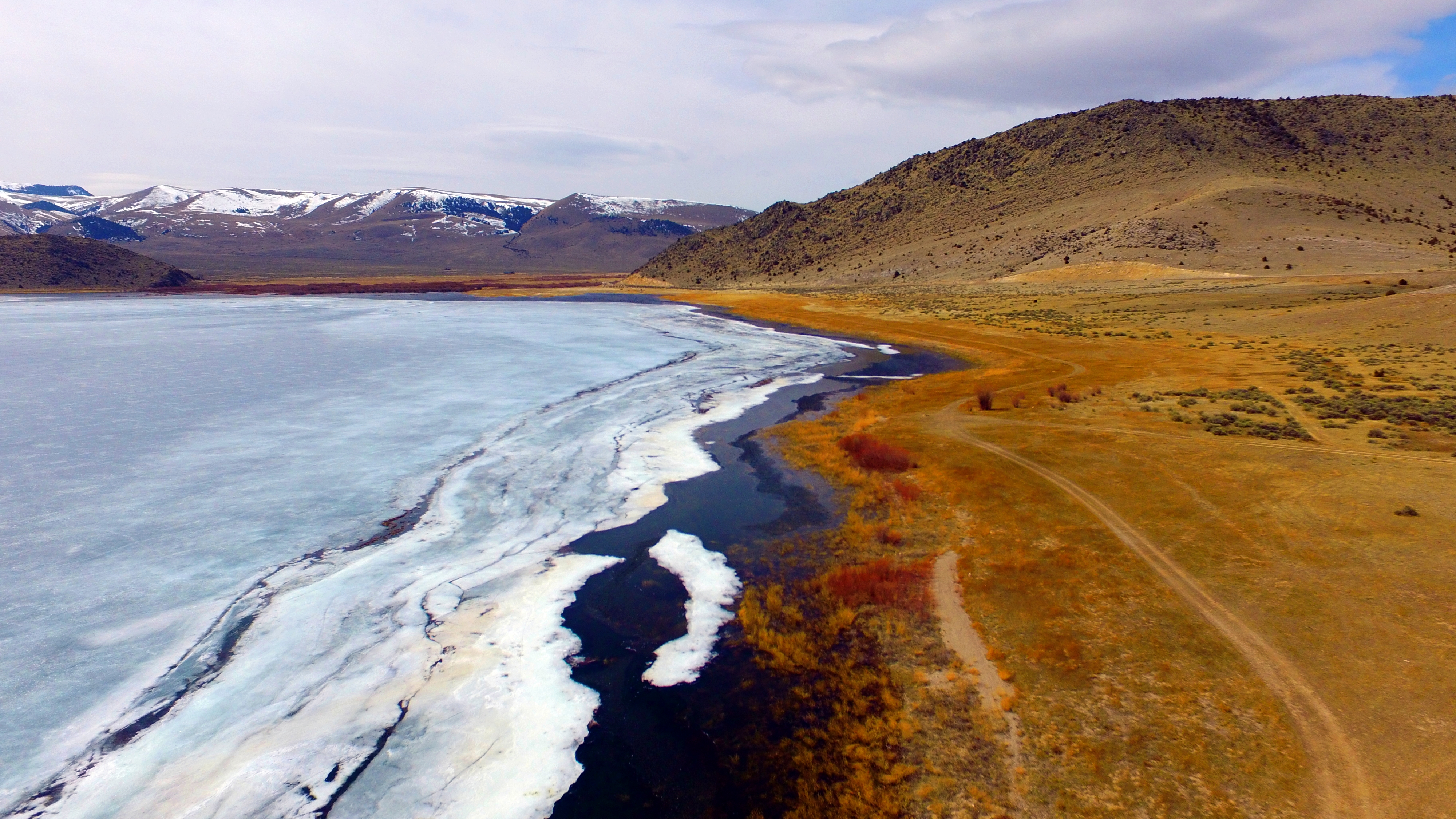
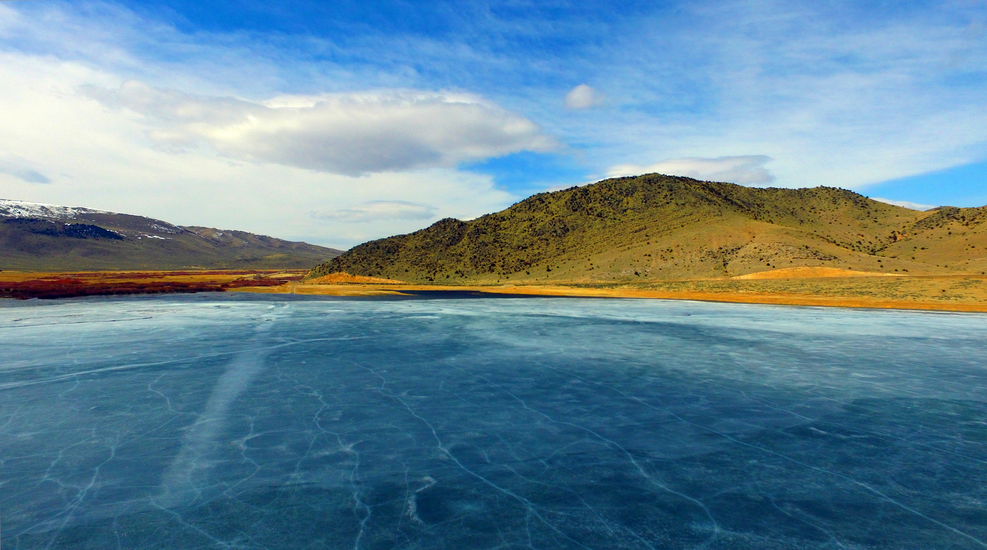
A Partially Thawed Clark Canyon Reservoir 8
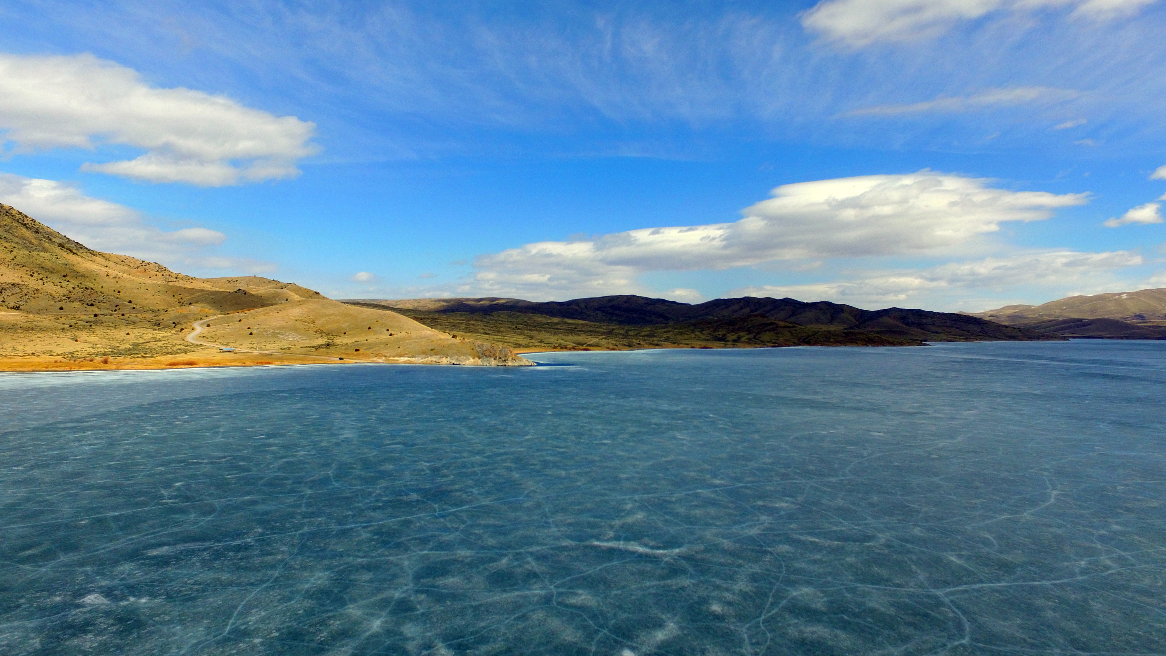
A Partially Thawed Clark Canyon Reservoir 5
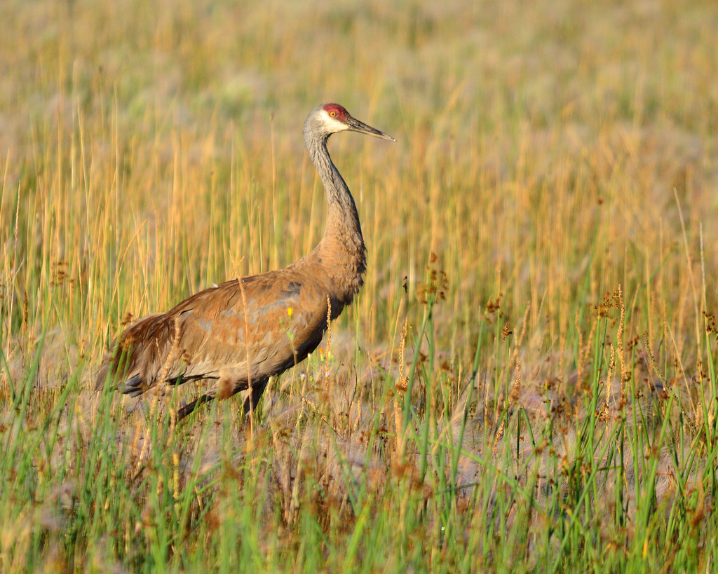
Clark Canyon Sandhill Crane
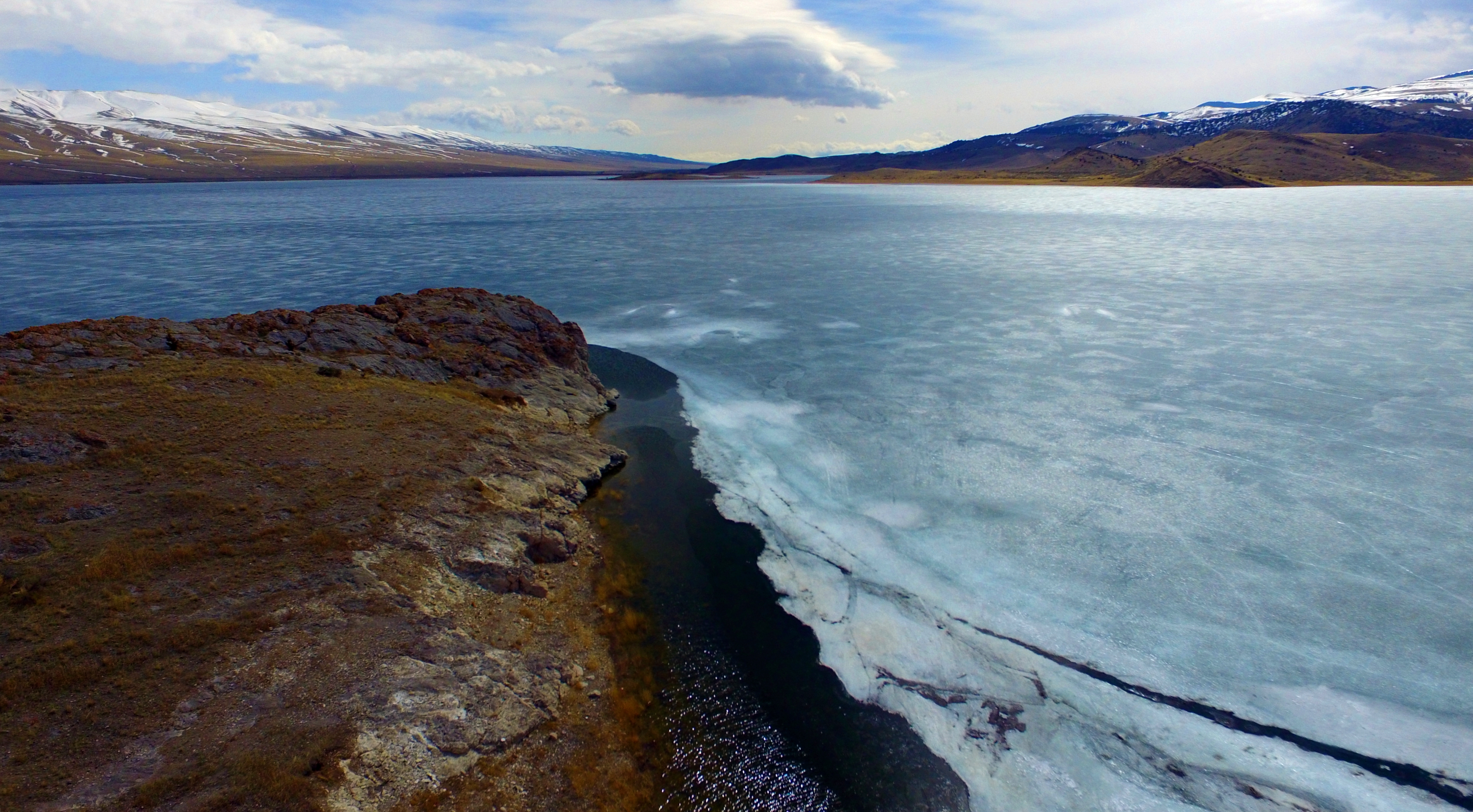
A Partially Thawed Clark Canyon Reservoir 3
A Partially Thawed Clark Canyon Reservoir 4
A Partially Thawed Clark Canyon Reservoir 7
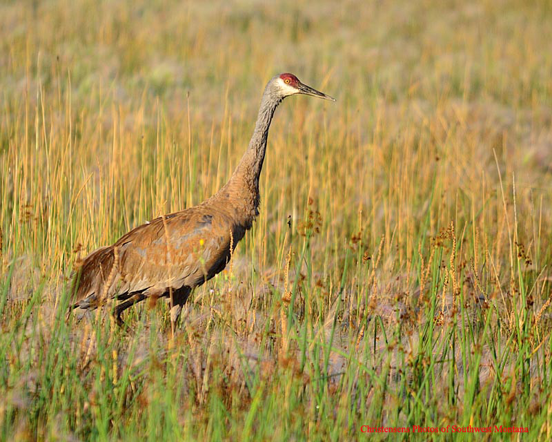
Clark Canyon Sandhill Crane
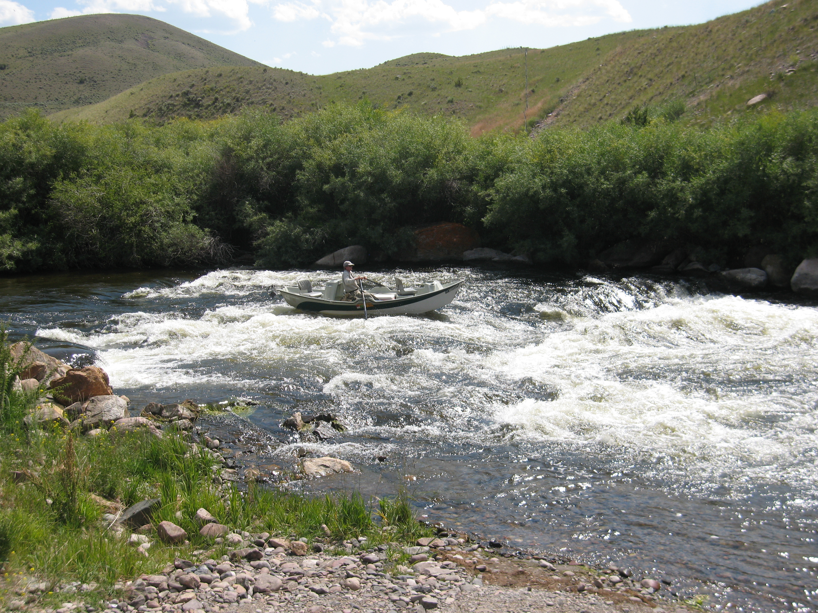
090801_009-David navigates the rapids at High Bridge

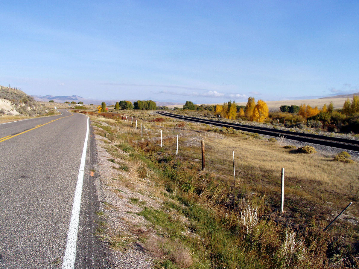
I-15 South - Exit 37
Topographic Map of Dillon, MT, USA
Find elevation by address:

Places near Dillon, MT, USA:
Grayling
Gallagher Mountain
Bannack
Bannack State Park
Bannack Bench Rd, Dillon, MT, USA
Grant
4970 Argenta Rd
440 Falcon Rd
West Dillon Street
Dillon
721 E Bannack St
Beaverhead County
Humbolt Mountain
7500 Mt-91
Limestone Mountain
Tower Mountain
Greenstone Mountain
Sweetwater Rd, Dillon, MT, USA
Aspen Campground
Alturas No. 1 Mountain
Recent Searches:
- Elevation of 7 Waterfall Way, Tomball, TX, USA
- Elevation of SW 57th Ave, Portland, OR, USA
- Elevation of Crocker Dr, Vacaville, CA, USA
- Elevation of Pu Ngaol Community Meeting Hall, HWHM+3X7, Krong Saen Monourom, Cambodia
- Elevation of Royal Ontario Museum, Queens Park, Toronto, ON M5S 2C6, Canada
- Elevation of Groblershoop, South Africa
- Elevation of Power Generation Enterprises | Industrial Diesel Generators, Oak Ave, Canyon Country, CA, USA
- Elevation of Chesaw Rd, Oroville, WA, USA
- Elevation of N, Mt Pleasant, UT, USA
- Elevation of 6 Rue Jules Ferry, Beausoleil, France