Elevation of Dicks Creek Rd, Whittier, NC, USA
Location: United States > North Carolina > Swain County > Charleston > Whittier >
Longitude: -83.262371
Latitude: 35.3972589
Elevation: 635m / 2083feet
Barometric Pressure: 94KPa
Elevation Map:
Satellite Map:
Related Photos:

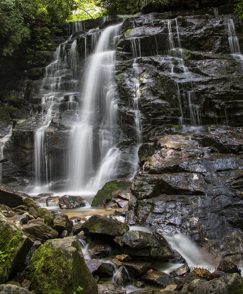
Soco Falls
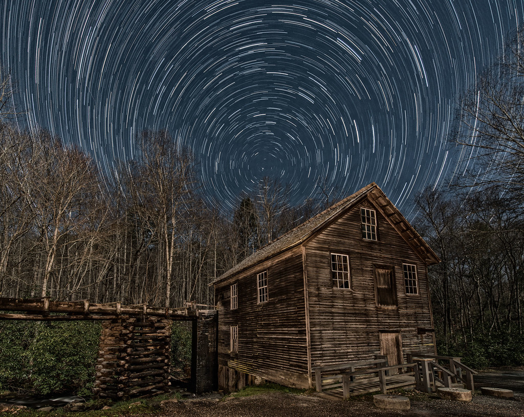
Mingus Mill Moon Light
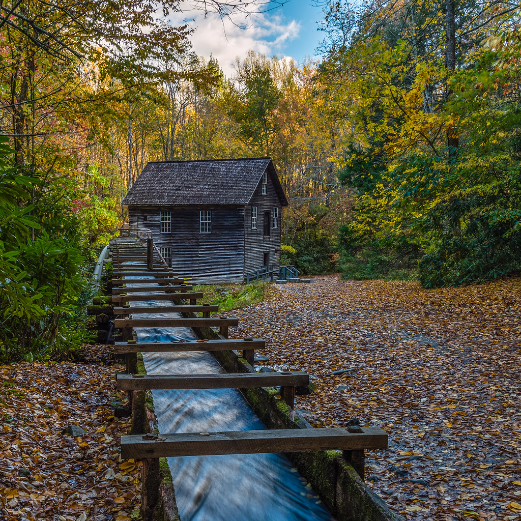
Mingus Mill Autumn

Mingus Mill Falls

The Davis House

Unto these hills
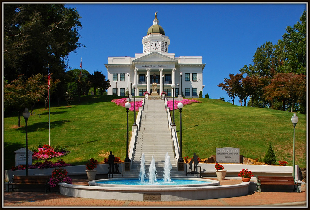
Jackson County Courthouse - Explore #170

Mingus Mill

317e2 purple picnic
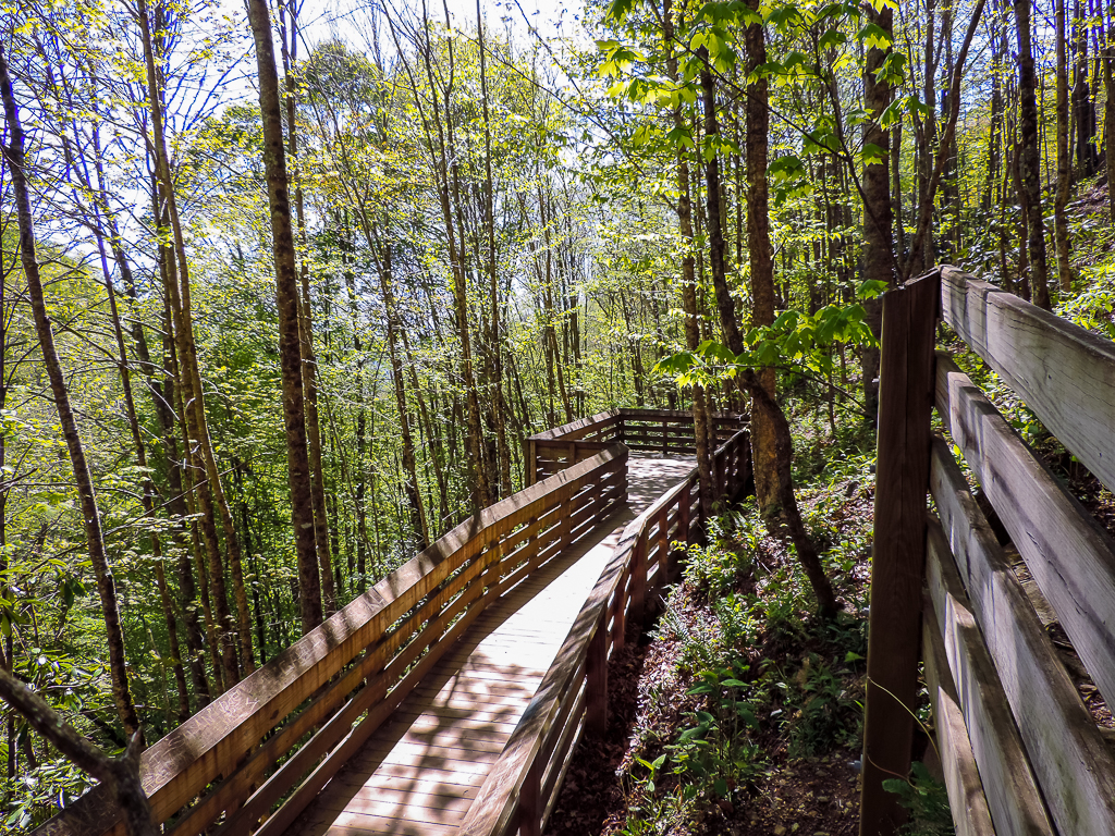
viewing deck
Soco Falls Waterfall

Heaven Comes Down
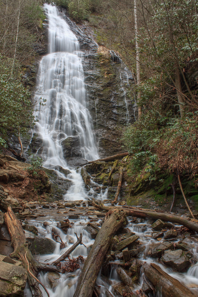
Mingo Falls, Cherokee Indian Reservation, North Carolina
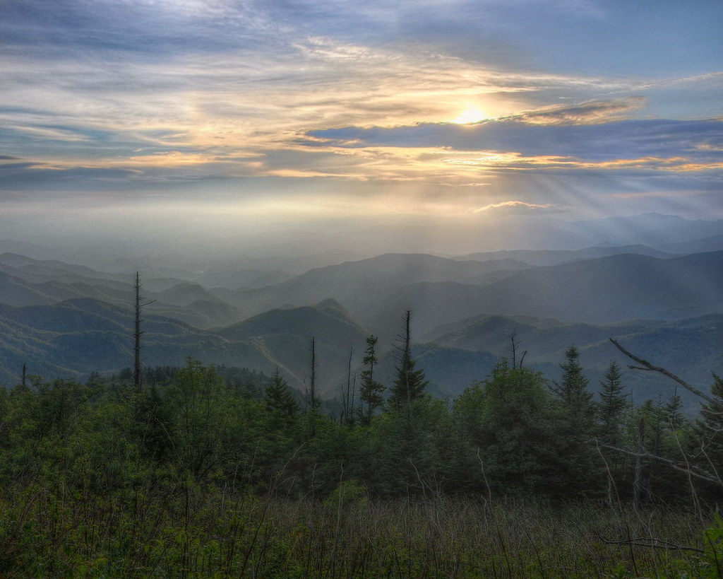
Sundown on the Waterrock Knob summit trail.
Soco Falls ( 5 Views ) - North Carolina

Mingus Mill - Grinding Stones
Gatlinburg 2013

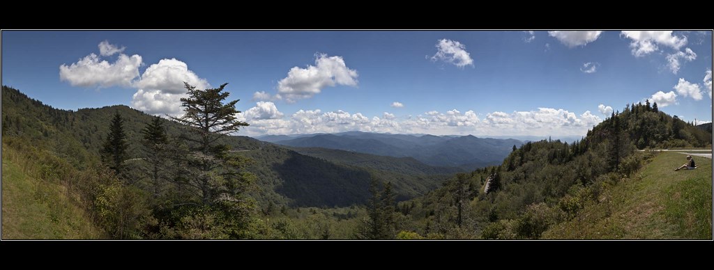
View from Waterrock Knob, Blue Ridge Parkway, Isaiah 52:7

Steaming Toward Fontana
Plott Balsam Overlook
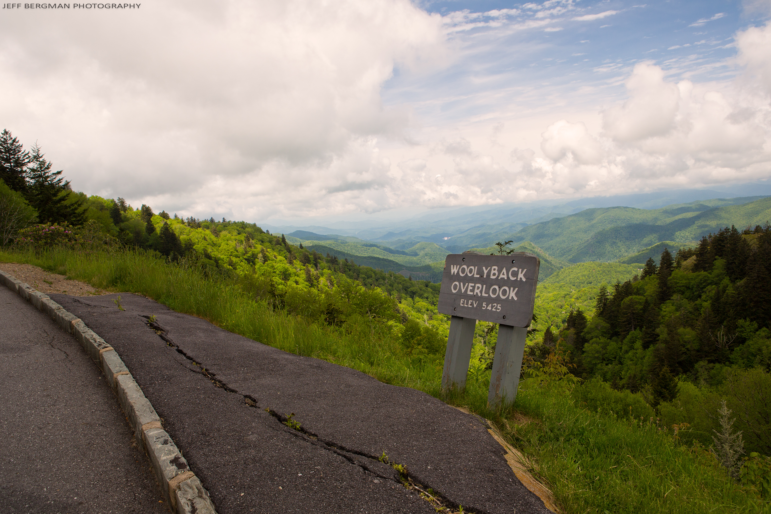
Woolyback Overlook
Sunset at Waterrock Knob - Explored

Mingus Mill

Barn at Mountain Farm Museum

Fall River | Cherokee, NC
Waterrock Knob Sunset
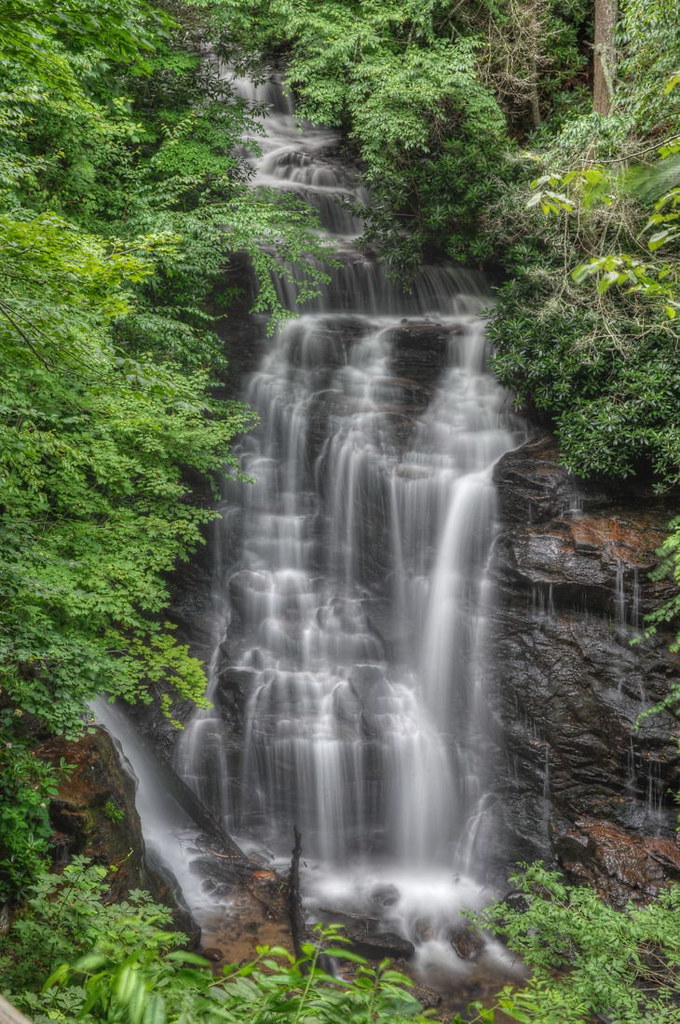
A few weeks ago didn't think photographing waterfalls would be an option since its been so dry. With all of this rain we are having its a reminder of how quickly conditions can change. Here is my favorite composition of SoCo falls near Cherokee. I have th

Soco Falls

Colors of Mingo
Soco Falls

Mingo Falls
Oconaluftee River - Explore #91
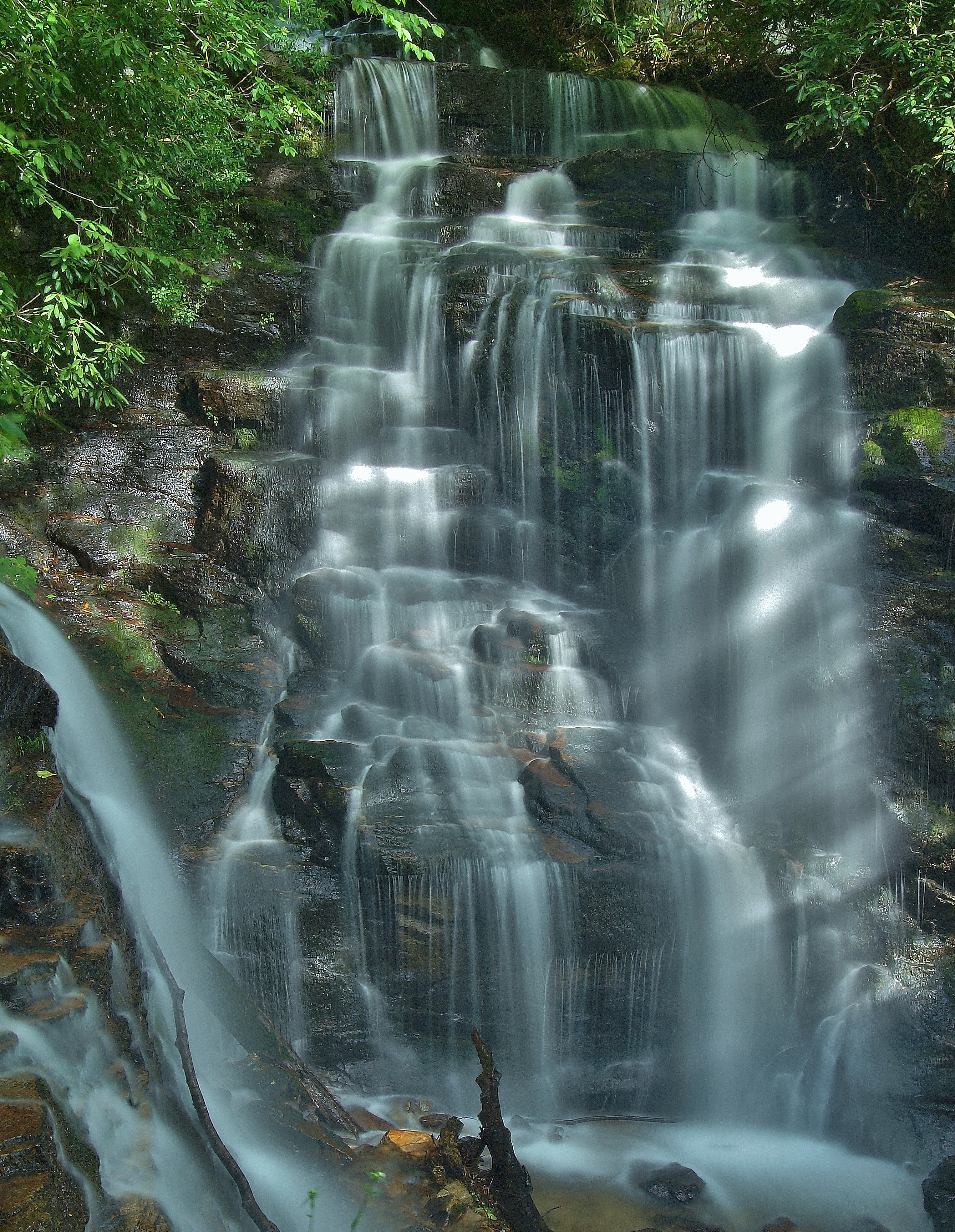
SOCO FALLS
Sylvan living

Autumn at Mingo Falls
Scene From Mountain Farm Museum

Upper Mingo Falls
"Smokey Bear" Overlook

Cloud and Color
Topographic Map of Dicks Creek Rd, Whittier, NC, USA
Find elevation by address:

Places near Dicks Creek Rd, Whittier, NC, USA:
201 Kimberly Ln
370 Kimberly Ln
553 Deep Gap Rd
553 Deep Gap Rd
134 Appleton Dr
40 Royal Fern Rd
Rufus Robinson Road
298 Rufus Robinson Rd
2321 Us-441
2321 Us-441
2436 Dicks Creek Rd
2438 Dicks Creek Rd
Mountain Heritage Lodge
2645 Dicks Creek Rd
Still Branch Road
Deep Spring Road
Herron Branch Road
458 Bart Rd
100 Hulse Ln
258 Hulse Ln
Recent Searches:
- Elevation of Vista Blvd, Sparks, NV, USA
- Elevation of 15th Ave SE, St. Petersburg, FL, USA
- Elevation of Beall Road, Beall Rd, Florida, USA
- Elevation of Leguwa, Nepal
- Elevation of County Rd, Enterprise, AL, USA
- Elevation of Kolchuginsky District, Vladimir Oblast, Russia
- Elevation of Shustino, Vladimir Oblast, Russia
- Elevation of Lampiasi St, Sarasota, FL, USA
- Elevation of Elwyn Dr, Roanoke Rapids, NC, USA
- Elevation of Congressional Dr, Stevensville, MD, USA