Elevation of Dickens County, TX, USA
Location: United States > Texas >
Longitude: -100.70978
Latitude: 33.5985109
Elevation: 675m / 2215feet
Barometric Pressure: 93KPa
Elevation Map:
Satellite Map:
Related Photos:

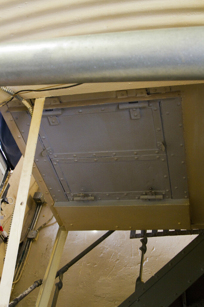
Dickens County Jail, Dickens, Texas:
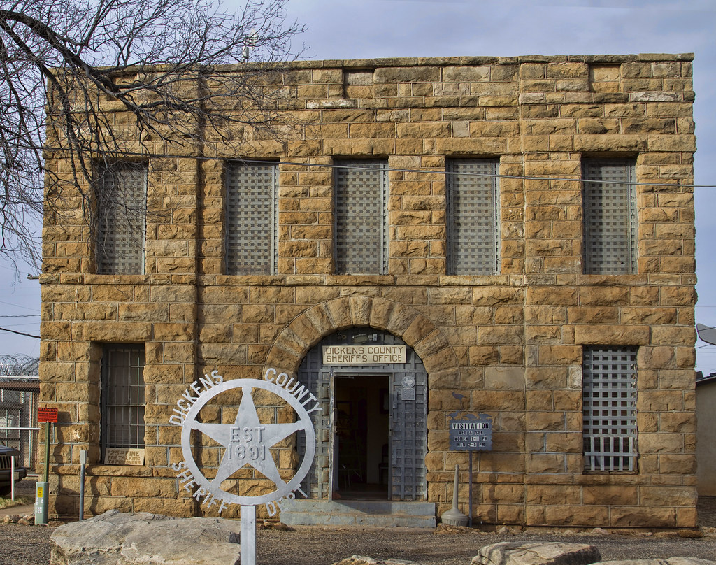
Dickens, Texas: Jail

Dickens, Texas

Westbound Route 114 West Texas Highway Road Western Landscape Truck Vista View Clouds Rain Shower Sun Rays Mesa DSC_3013
Dickens, Texas
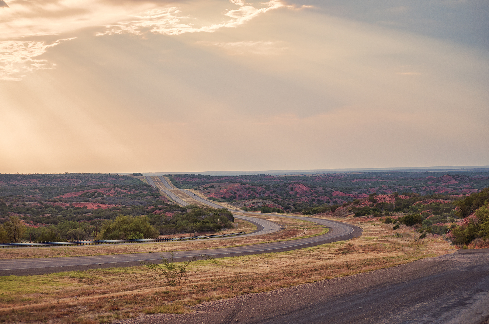
US 82 Pano outside Dickens, Tx.
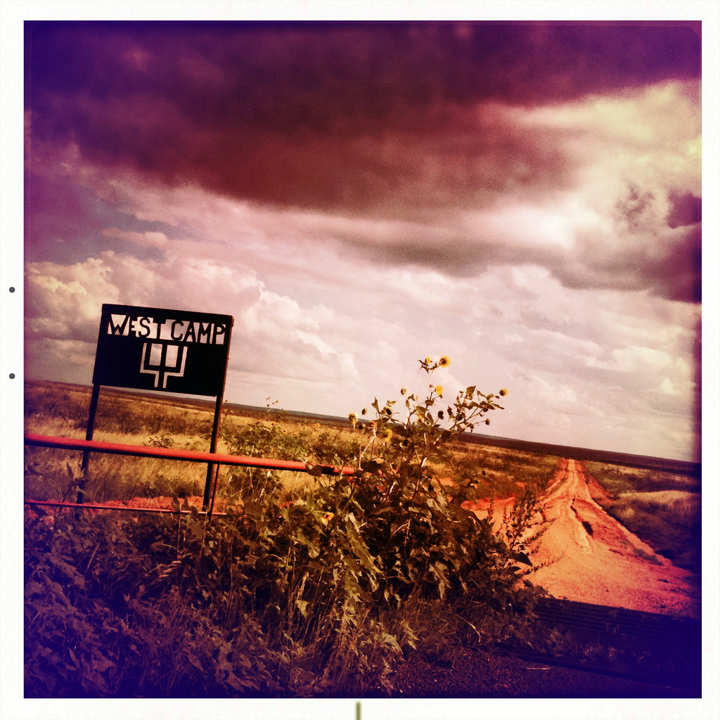
West Camp Pitchfork Ranch Texas Sign Weather Western Landscape Thunderstorm Summer Dirt Road Muddy Tire Tracks Sunflowers Rain Clouds Sky IMG_0951

Pitchfork Ranch West Camp Wild Horses Herd Landscape Western Spur Matador DSC_2975x

Flowers at the Church
Topographic Map of Dickens County, TX, USA
Find elevation by address:

Places in Dickens County, TX, USA:
Places near Dickens County, TX, USA:
5th St, Dickens, TX, USA
Dickens
Kent County
6666 Ranch
Jayton
Crosbyton
King County
Swenson
Harrison, Aspermont, TX, USA
Aspermont
Dermott, TX, USA
Stonewall County
Justiceburg
US-84, Justiceburg, TX, USA
Rotan, TX, USA
Rotan
Old Glory
Fluvanna
596 County Rd 310
1003 Avenue E
Recent Searches:
- Elevation of Felindre, Swansea SA5 7LU, UK
- Elevation of Leyte Industrial Development Estate, Isabel, Leyte, Philippines
- Elevation of W Granada St, Tampa, FL, USA
- Elevation of Pykes Down, Ivybridge PL21 0BY, UK
- Elevation of Jalan Senandin, Lutong, Miri, Sarawak, Malaysia
- Elevation of Bilohirs'k
- Elevation of 30 Oak Lawn Dr, Barkhamsted, CT, USA
- Elevation of Luther Road, Luther Rd, Auburn, CA, USA
- Elevation of Unnamed Road, Respublika Severnaya Osetiya — Alaniya, Russia
- Elevation of Verkhny Fiagdon, North Ossetia–Alania Republic, Russia