Elevation of Diamond Township, AR, USA
Location: United States > Arkansas > Sebastian County >
Longitude: -94.264103
Latitude: 35.085141
Elevation: 177m / 581feet
Barometric Pressure: 99KPa
Elevation Map:
Satellite Map:
Related Photos:
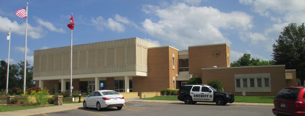
Sebastian County Courthouse (Greenwood, Arkansas)

Overnight rain
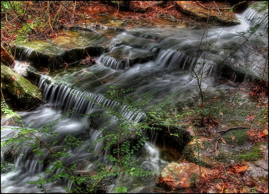
Kenny's Creek
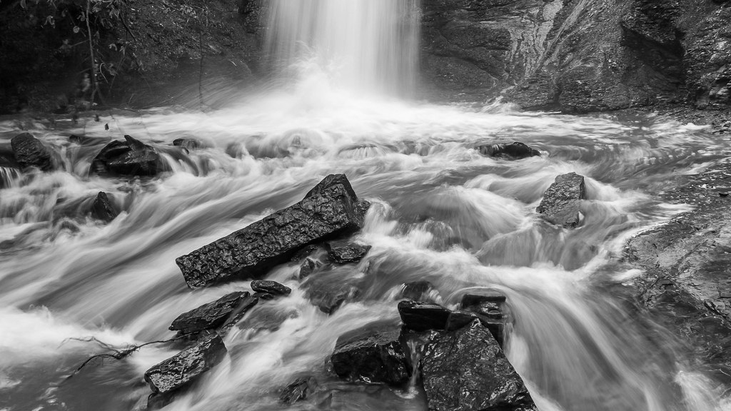
Action at the bottom of the falls

Falls at Sugar Loaf Lake
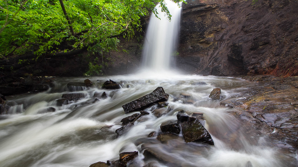
The falls at Sugar Loaf Lake
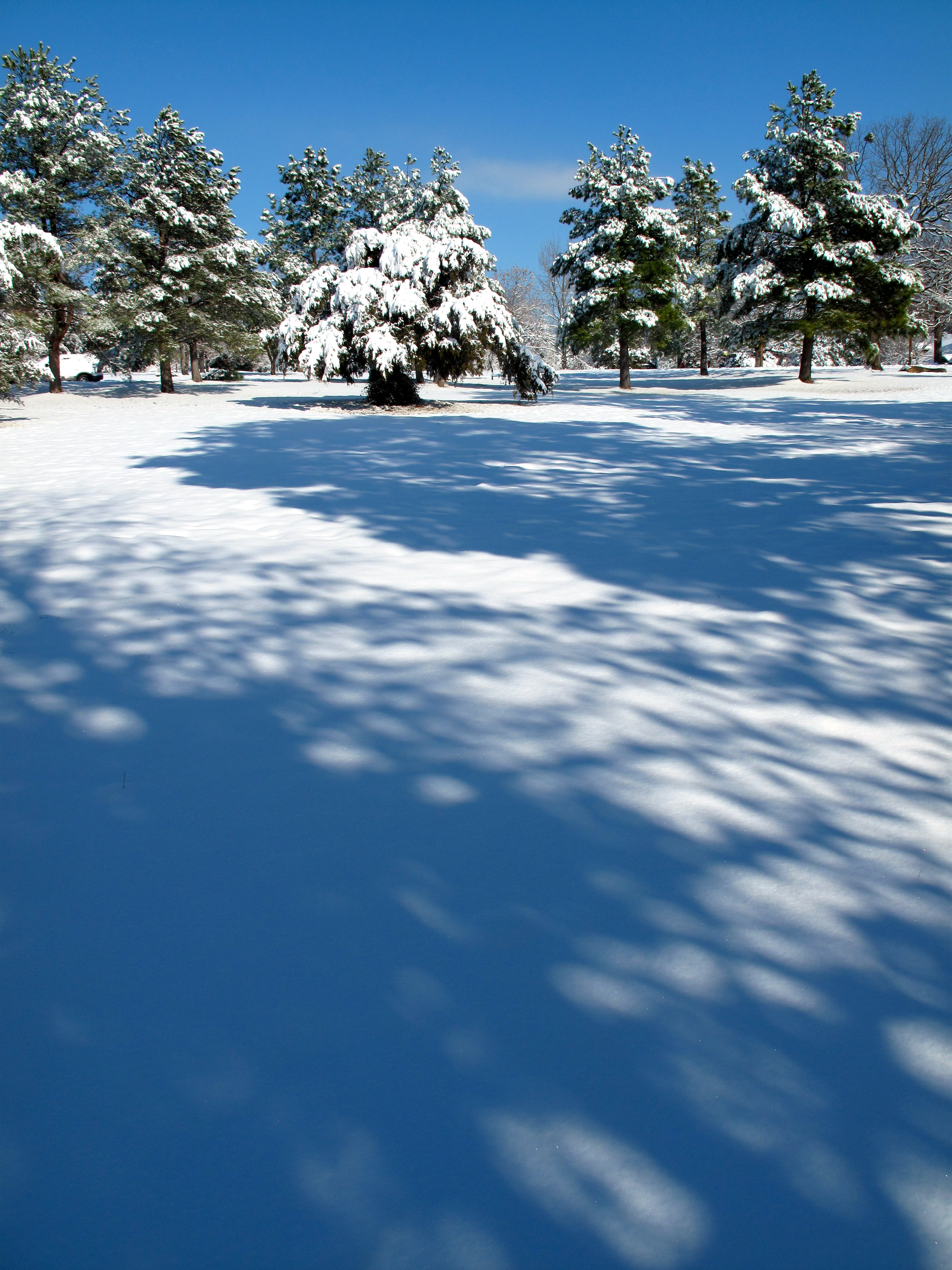
Snow Land

Cotton Candy Sky
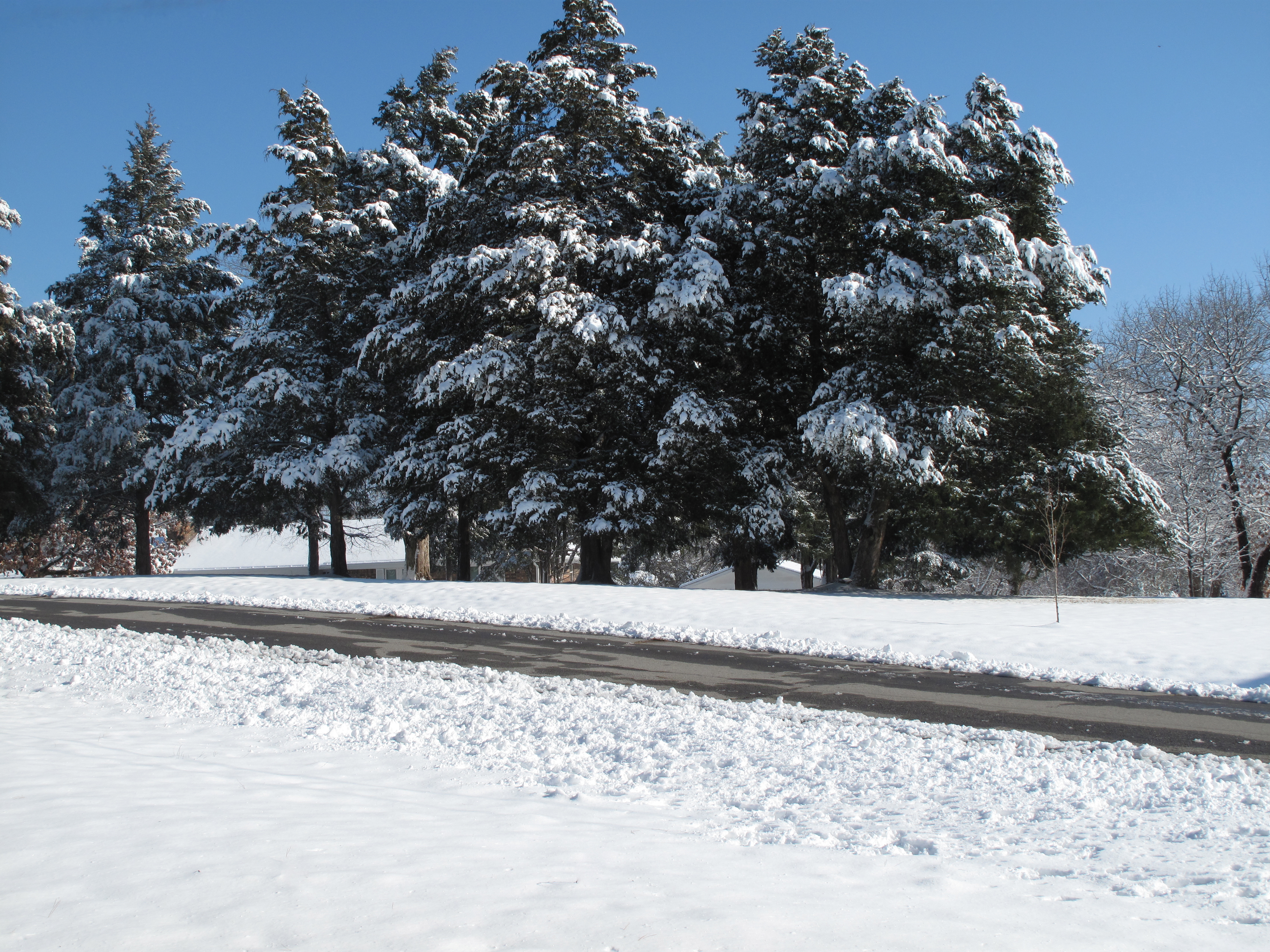
Across the Road
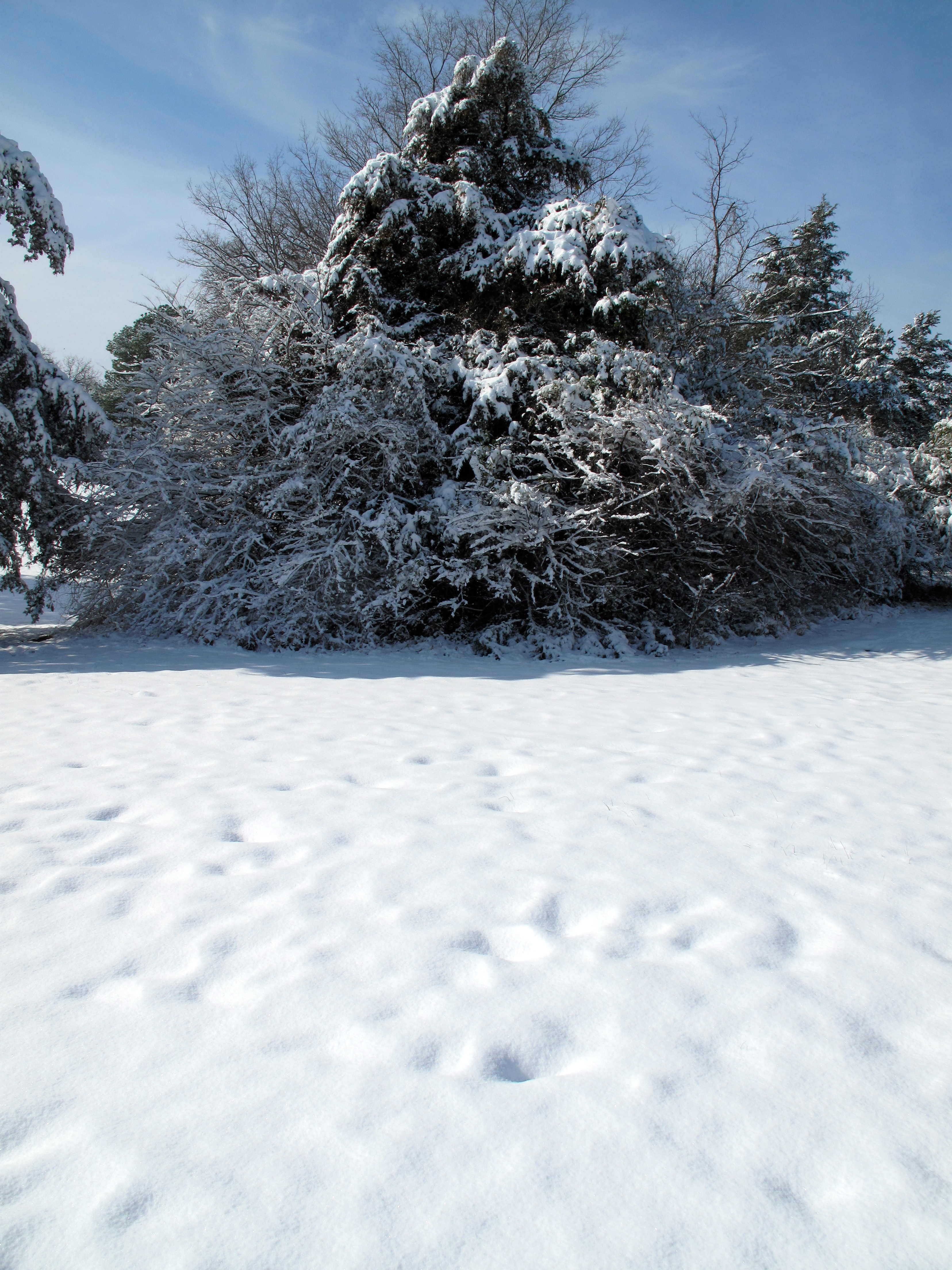
Snow Land 2
Topographic Map of Diamond Township, AR, USA
Find elevation by address:

Places in Diamond Township, AR, USA:
Places near Diamond Township, AR, USA:
Huntington
Mansfield
Old Arko Rd, Huntington, AR, USA
Prairie Township
Co Rd 39, Huntington, AR, USA
East Clarks Chapel Road
Jefferson Ave, Midland, AR, USA
Midland
Jim Fork Township
Hartford Township
Hartford
Mississippi Township
W Hartford Rd, Hartford, AR, USA
5525 Slaytonville Rd
Slaytonville
Oliver Township
18223 Maple Rd
Boyd St, Howe, OK, USA
Blansett
Blansett Township
Recent Searches:
- Elevation of Steadfast Ct, Daphne, AL, USA
- Elevation of Lagasgasan, X+CQH, Tiaong, Quezon, Philippines
- Elevation of Rojo Ct, Atascadero, CA, USA
- Elevation of Flagstaff Drive, Flagstaff Dr, North Carolina, USA
- Elevation of Avery Ln, Lakeland, FL, USA
- Elevation of Woolwine, VA, USA
- Elevation of Lumagwas Diversified Farmers Multi-Purpose Cooperative, Lumagwas, Adtuyon, RV32+MH7, Pangantucan, Bukidnon, Philippines
- Elevation of Homestead Ridge, New Braunfels, TX, USA
- Elevation of Orchard Road, Orchard Rd, Marlborough, NY, USA
- Elevation of 12 Hutchinson Woods Dr, Fletcher, NC, USA