Elevation of Dharamsala, Nepal
Location: Nepal > Western Region > Dhawalagiri >
Longitude: 83.1566923
Latitude: 28.3246363
Elevation: 1139m / 3737feet
Barometric Pressure: 88KPa
Elevation Map:
Satellite Map:
Related Photos:
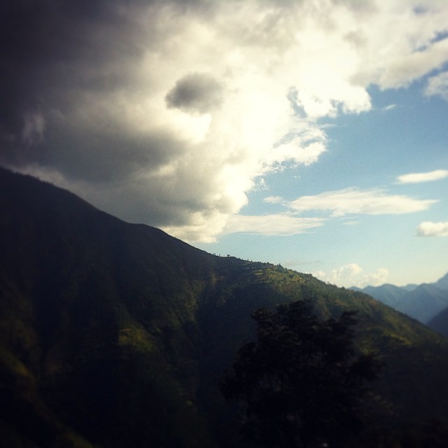
Rainy & Sunny. #rainy #sunny #burtibang #baglung #Nepal #cloudy #ghosakhani #sky #nature #asia #south #baglung
Topographic Map of Dharamsala, Nepal
Find elevation by address:

Places near Dharamsala, Nepal:
Arnakot
Myagdi District
Gurja Khani
Beni
Mudi
Beni Bazaar
Churen Himal
Mallaj
Putha Hiunchuli
Baglung
Ratne Chaur
Dhawalagiri
Histan Mandali
Tatopani
Naya Pool
Banou
Dhaulagiri Ii
Dhaulagiri
Kyang
Lespar
Recent Searches:
- Elevation of 7 Waterfall Way, Tomball, TX, USA
- Elevation of SW 57th Ave, Portland, OR, USA
- Elevation of Crocker Dr, Vacaville, CA, USA
- Elevation of Pu Ngaol Community Meeting Hall, HWHM+3X7, Krong Saen Monourom, Cambodia
- Elevation of Royal Ontario Museum, Queens Park, Toronto, ON M5S 2C6, Canada
- Elevation of Groblershoop, South Africa
- Elevation of Power Generation Enterprises | Industrial Diesel Generators, Oak Ave, Canyon Country, CA, USA
- Elevation of Chesaw Rd, Oroville, WA, USA
- Elevation of N, Mt Pleasant, UT, USA
- Elevation of 6 Rue Jules Ferry, Beausoleil, France