Elevation of Dewfield Dr N, Wilson, NC, USA
Location: United States > North Carolina > Wilson County > Wilson >
Longitude: -77.932478
Latitude: 35.783689
Elevation: 45m / 148feet
Barometric Pressure: 101KPa
Elevation Map:
Satellite Map:
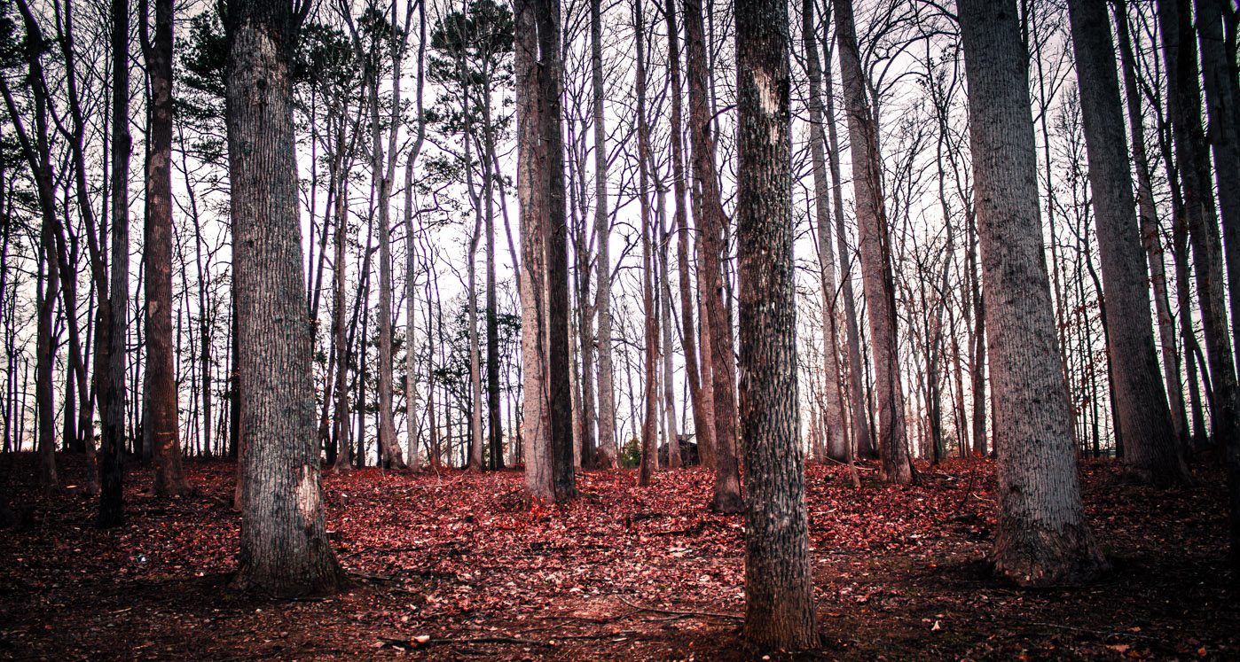
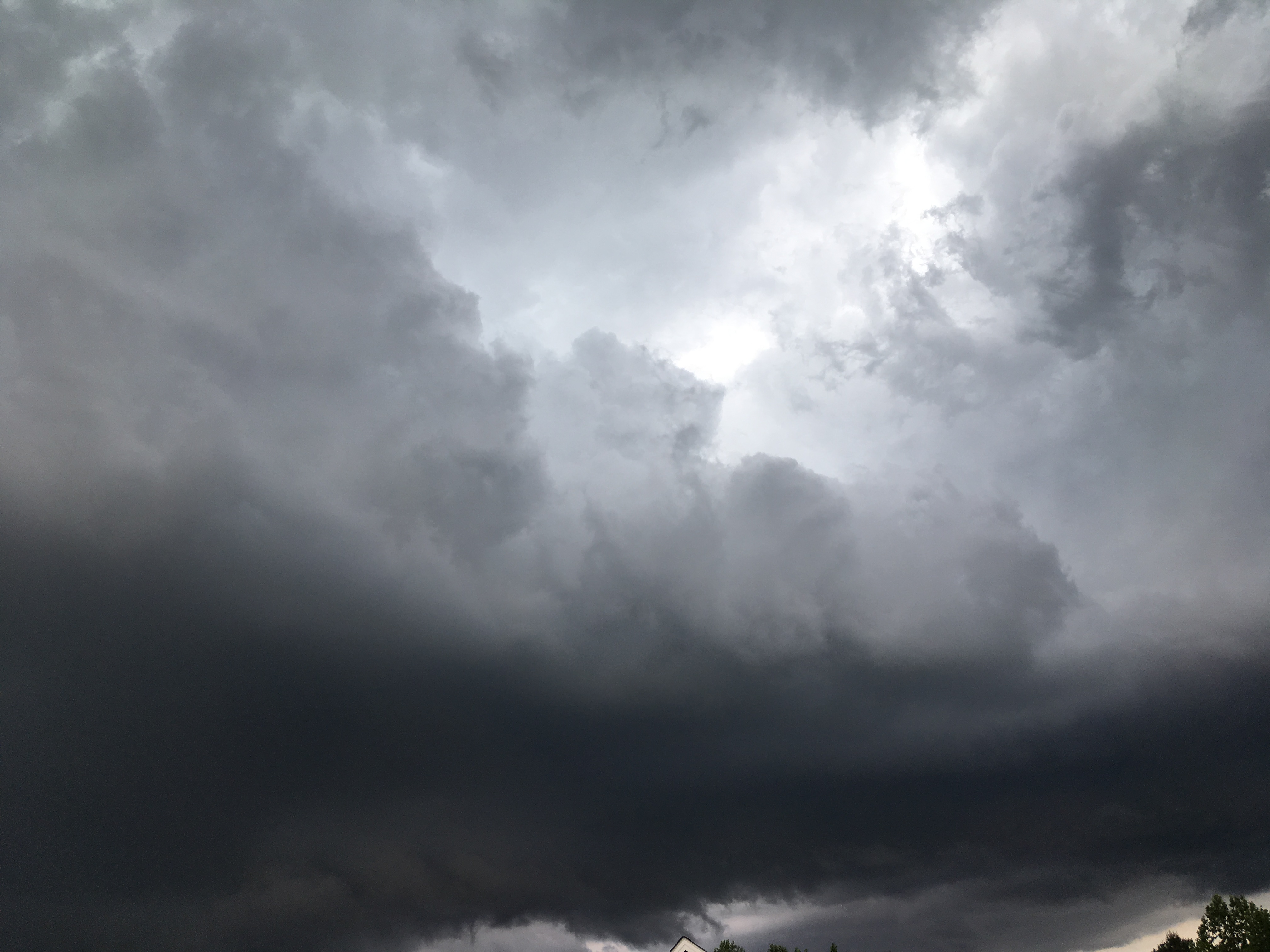
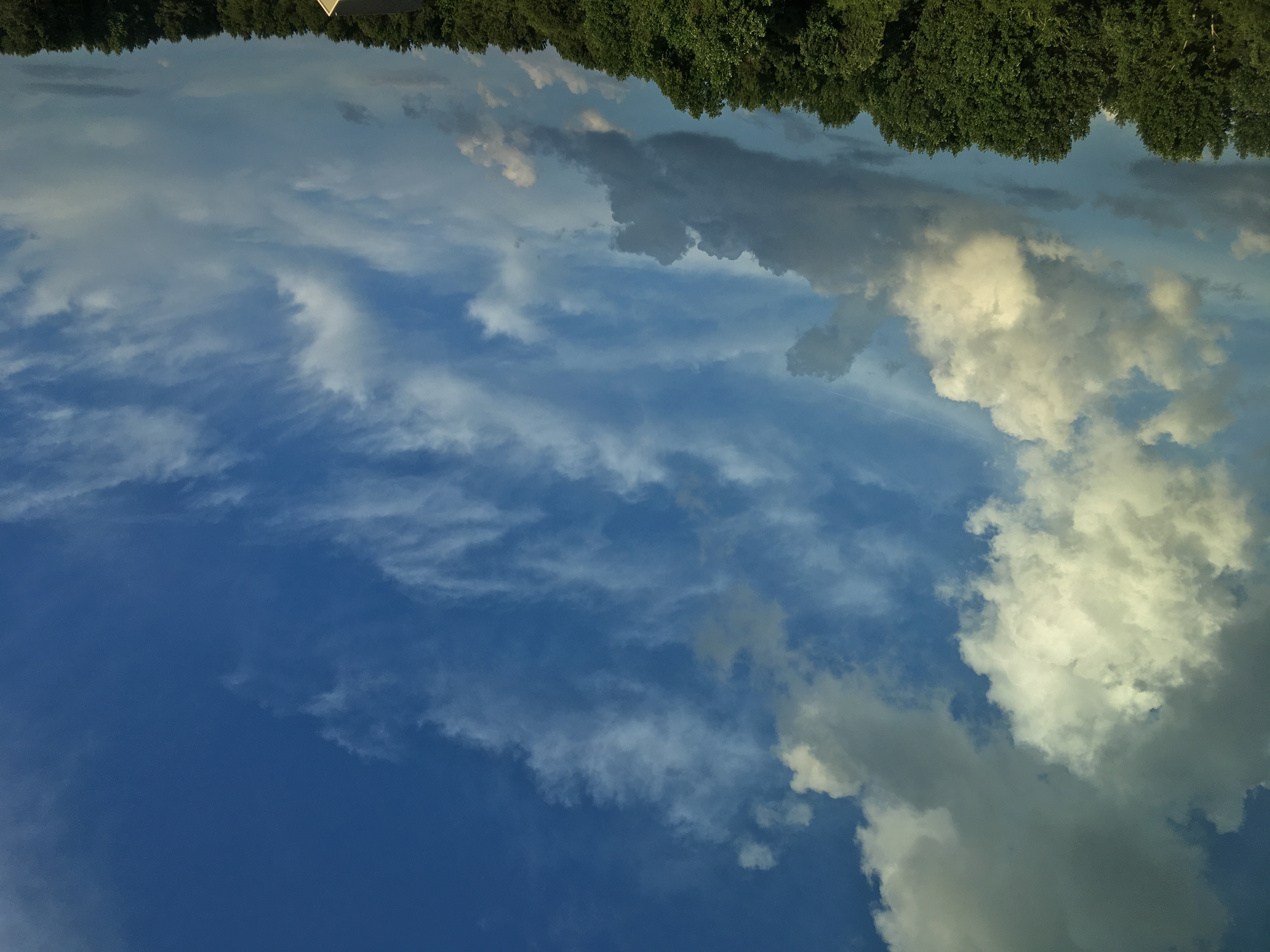
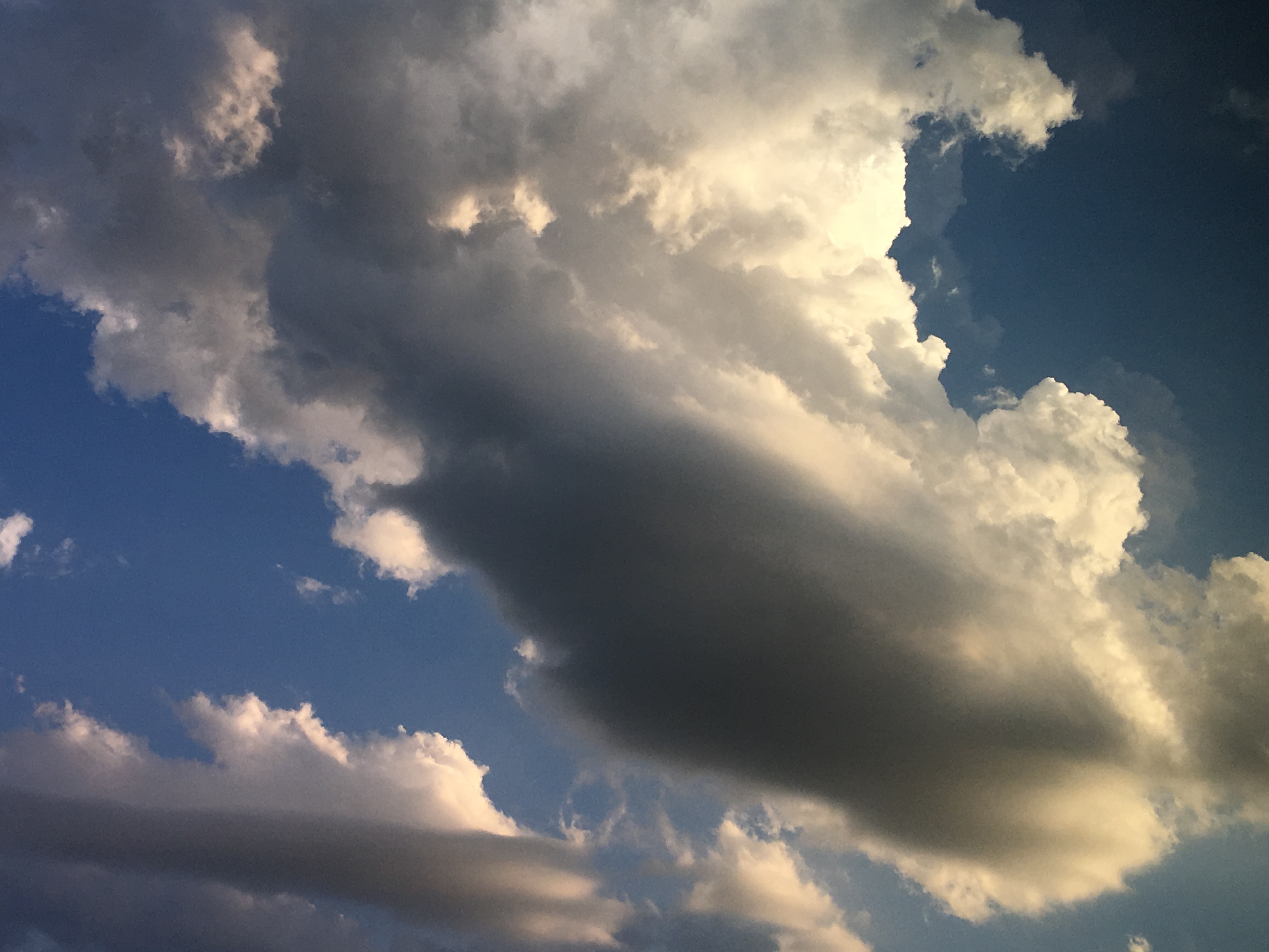
Related Photos:

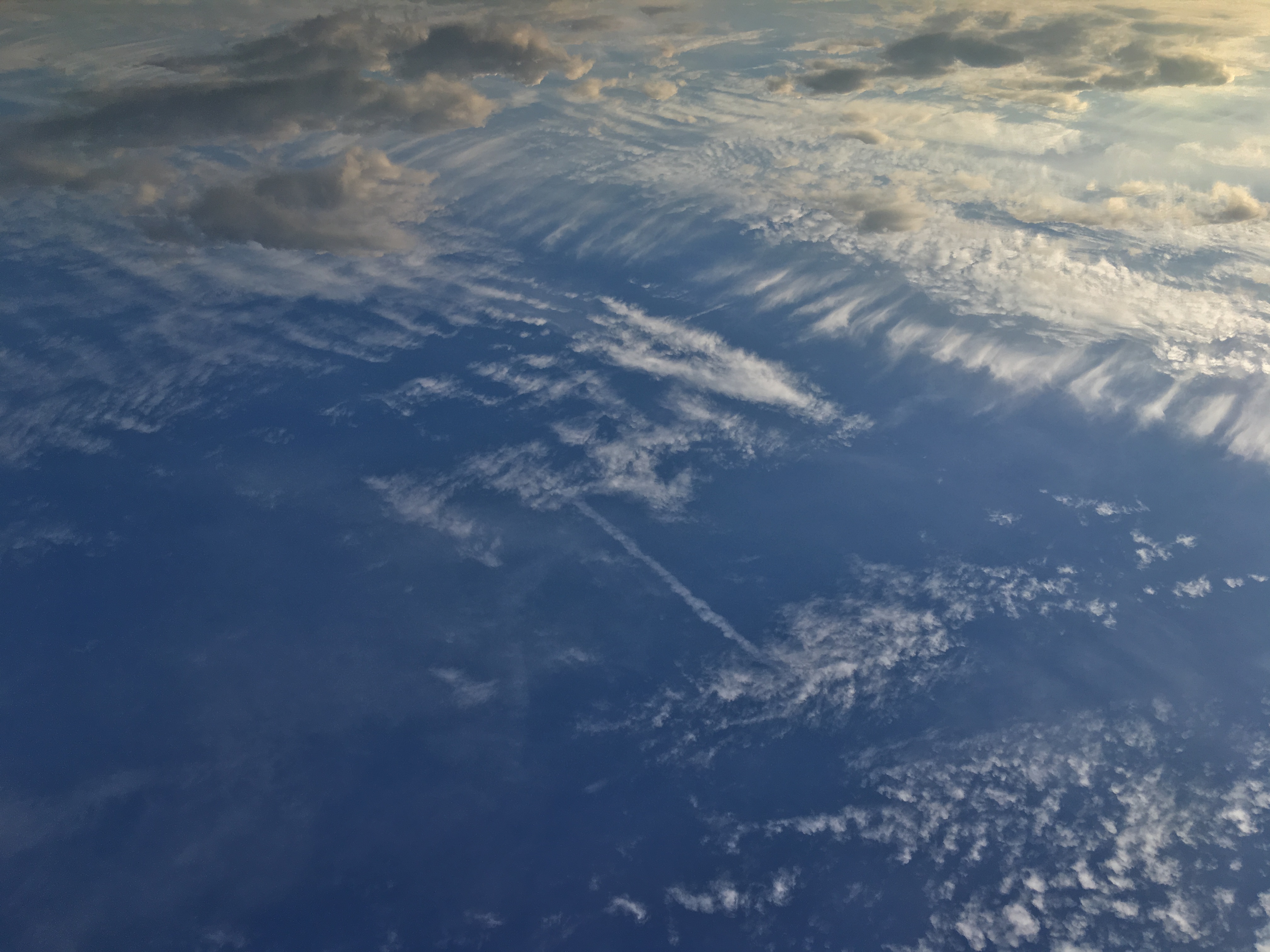
Blue sky
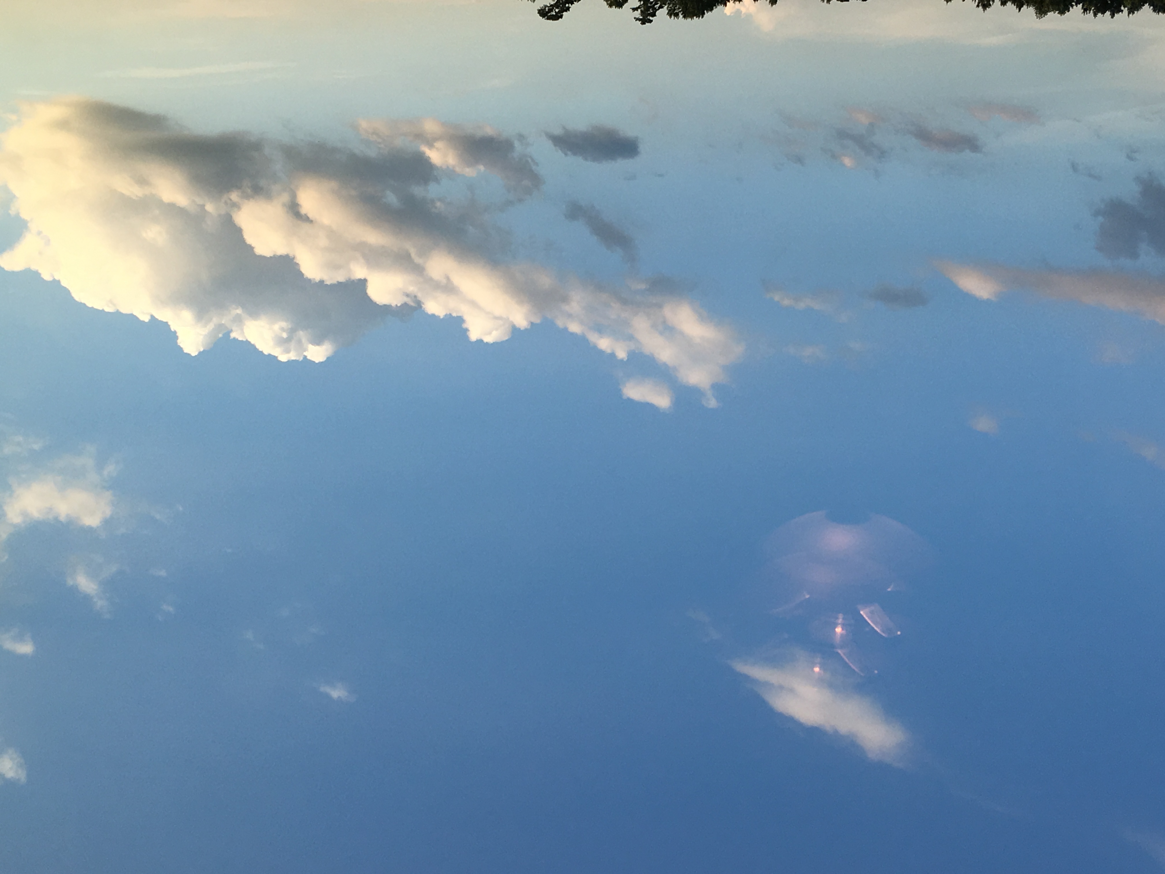
Summertime is beautiful

Carolina sunset...

Beautiful sky!
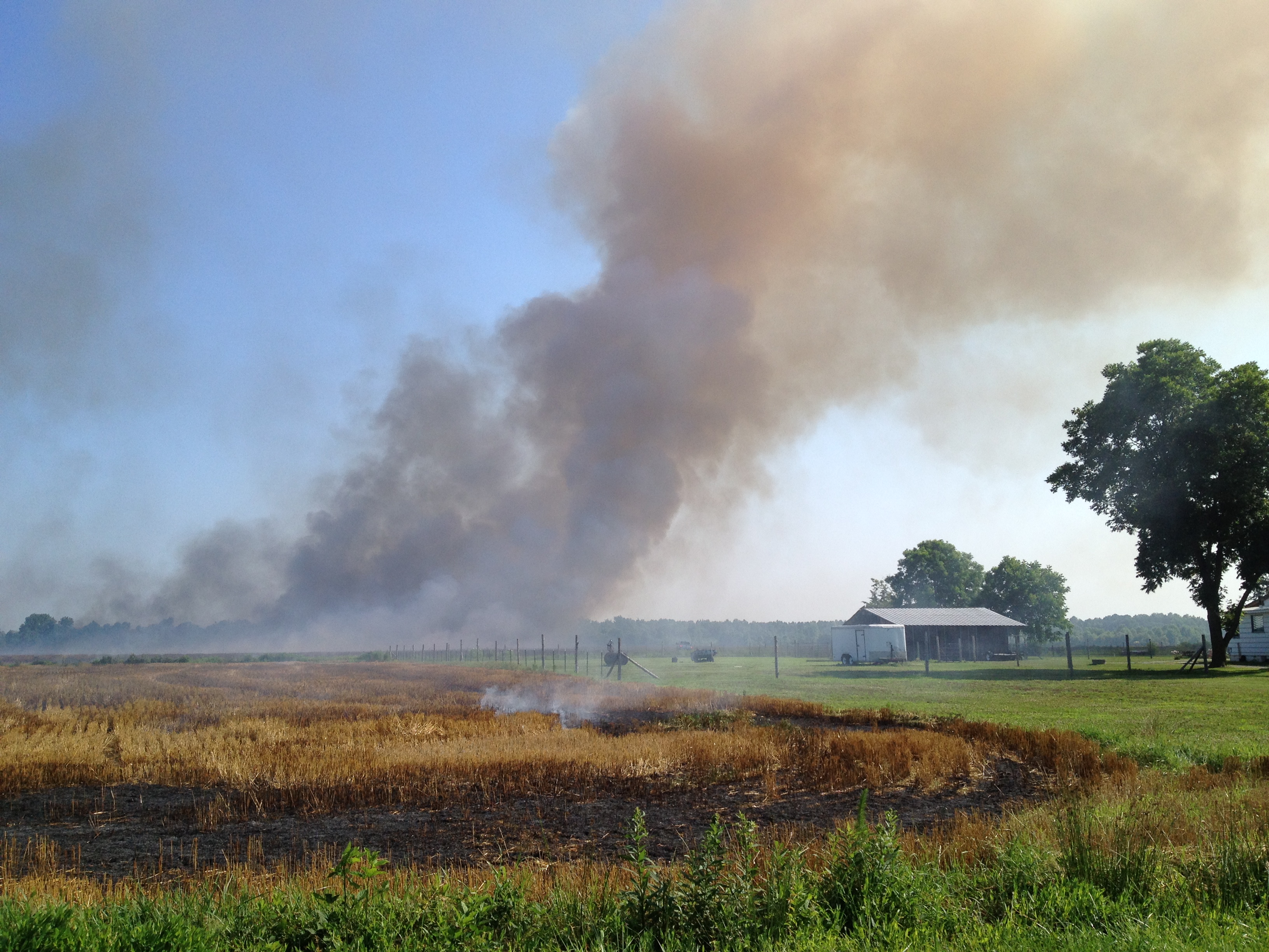
New photo added to "Camera Roll"

Beautiful sky!
New photo added to "Camera Roll"

Colorful Clouds
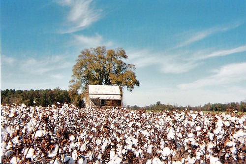
High Cotton
The Minnow & The Trout

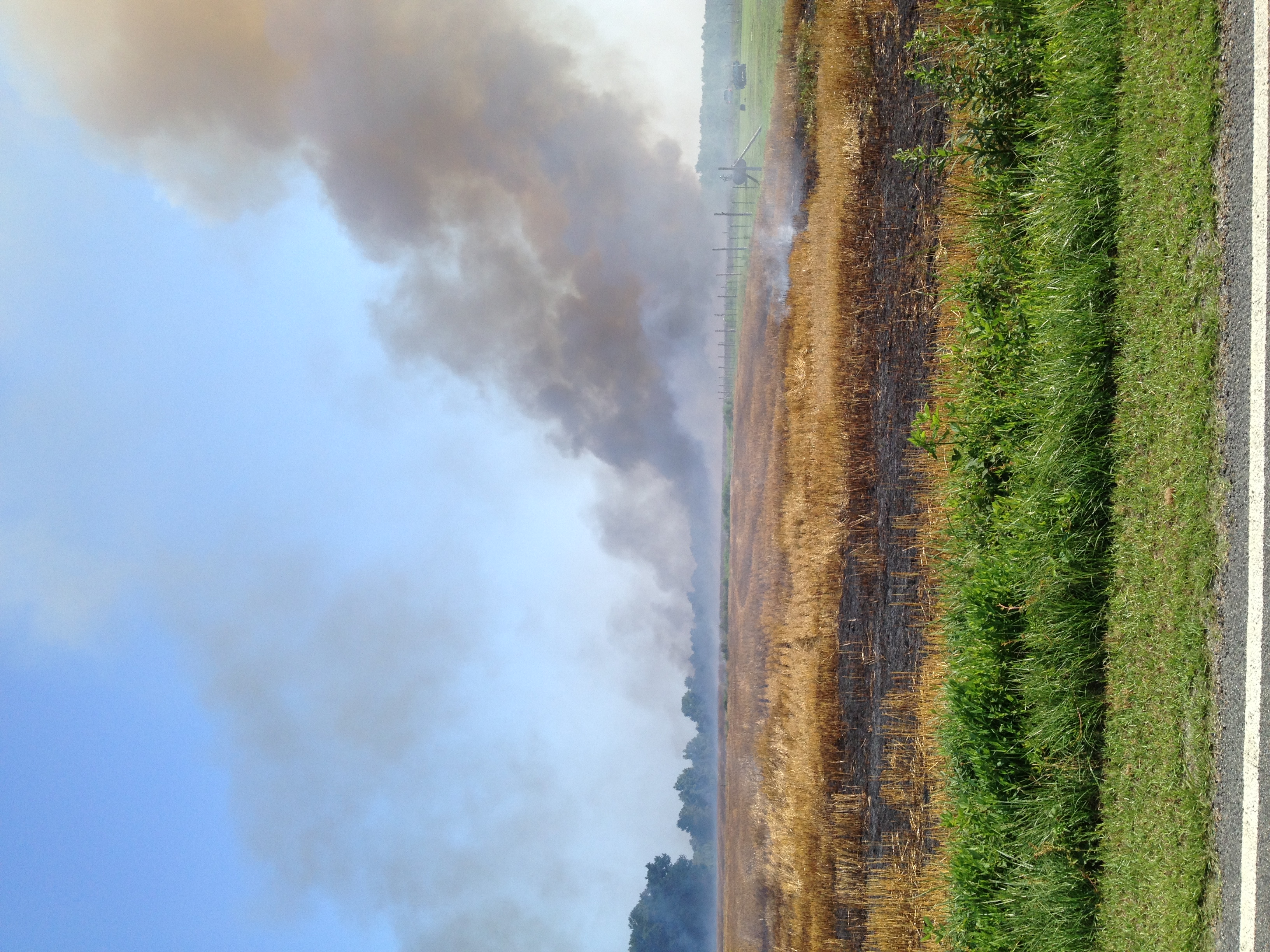
New photo added to "Camera Roll"

New photo added to "Camera Roll"

Unnamed...
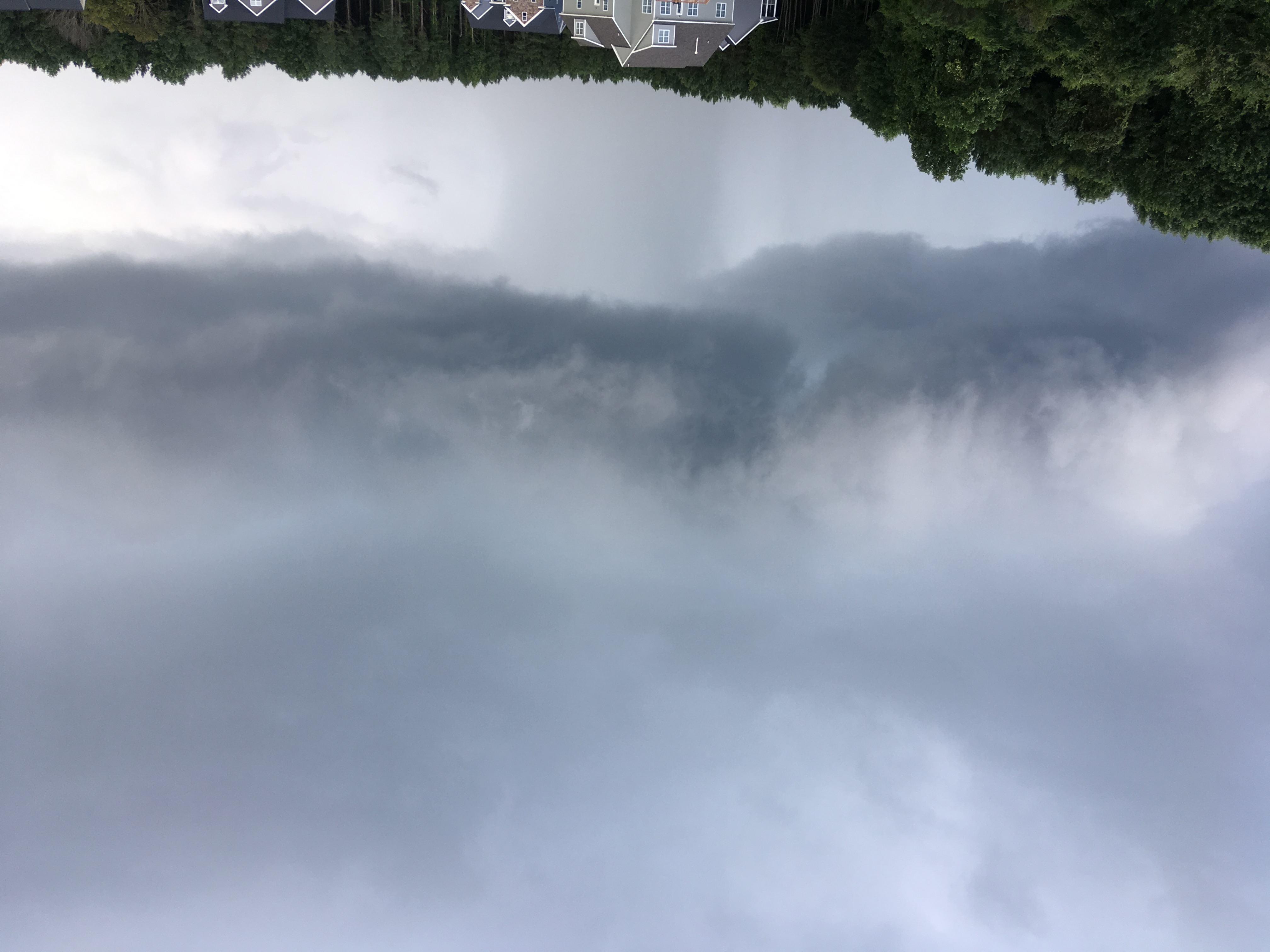
Rain pouring down....
Sky tonight
Beautiful sky tonight!
Beautiful sky!
Blue skies, finally!
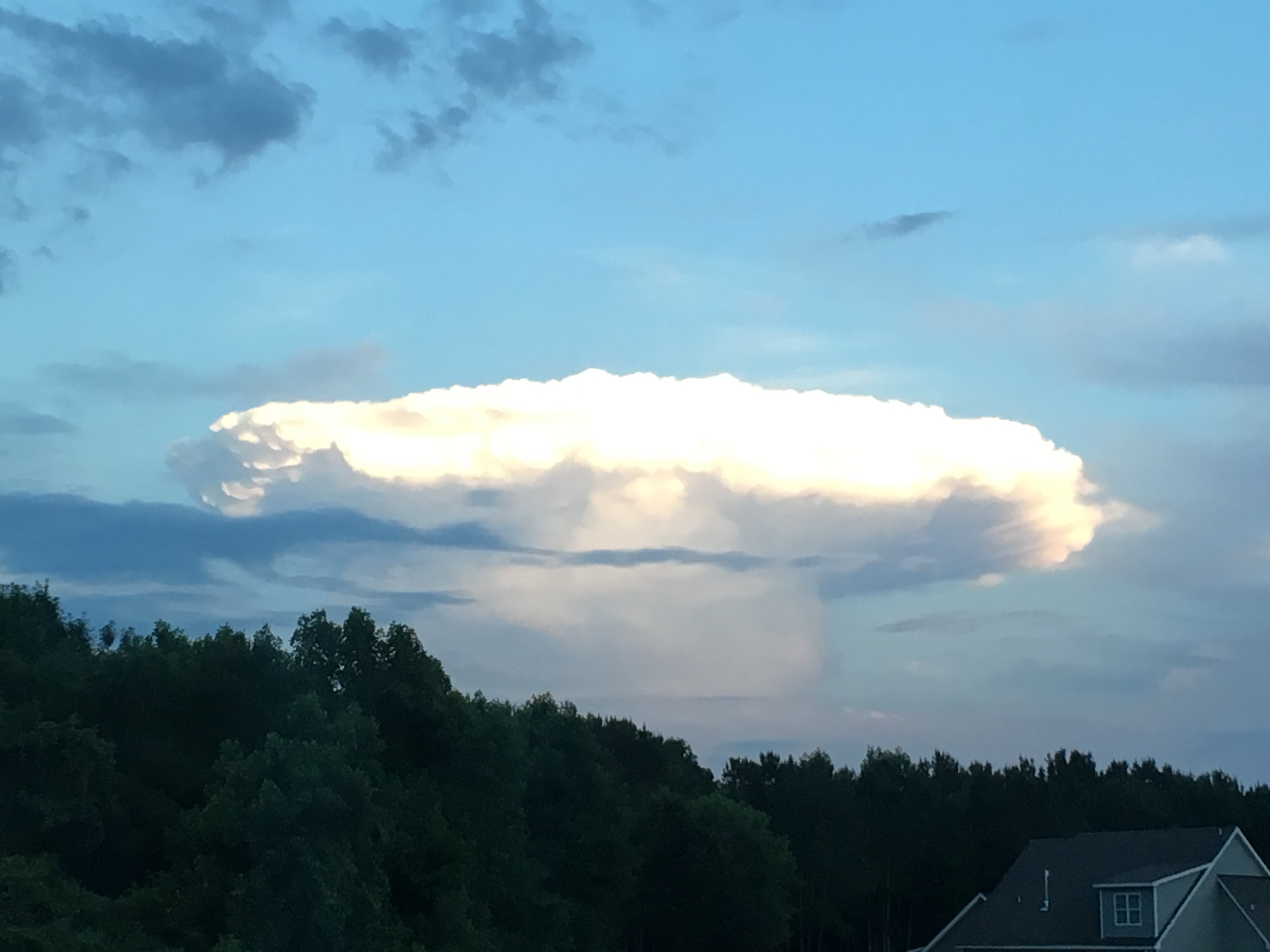
Thunderhead cloud building....
Beautiful blue sky & clouds
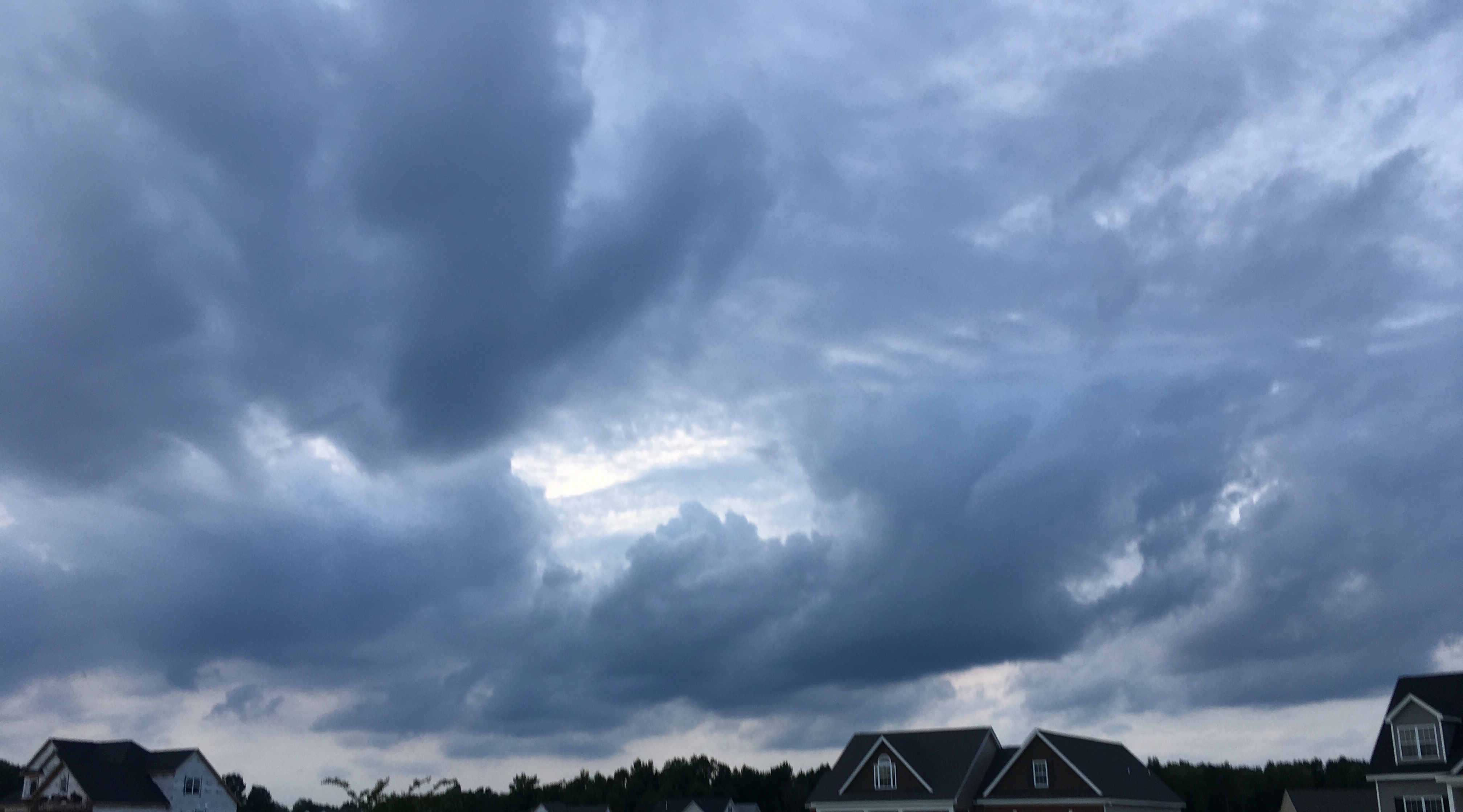
Stormy sky
Topographic Map of Dewfield Dr N, Wilson, NC, USA
Find elevation by address:

Places near Dewfield Dr N, Wilson, NC, USA:
4201 Dewfield Dr N
Lake Wilson
Stewart Dr N, Wilson, NC, USA
Herman Drive
Lake Wilson Rd, Wilson, NC, USA
North Carolina Hwy 58, Wilson, NC, USA
Brandons Run
2800 Deerfield Ln
Quail Dr NW, Wilson, NC, USA
Thorpshire Farm
Terrace Dr NE, Elm City, NC, USA
Forest Hills
3720 Columbia Ave Nw
1311 Dogwood Ln Nw
Cliftonville Rd, Wilson, NC, USA
3238 Corbett Ave Ne
Montclair
Toisnot Park
3701 Ashbrook Dr Nw
3303 Jennings Farm Rd Nw
Recent Searches:
- Elevation of Vista Blvd, Sparks, NV, USA
- Elevation of 15th Ave SE, St. Petersburg, FL, USA
- Elevation of Beall Road, Beall Rd, Florida, USA
- Elevation of Leguwa, Nepal
- Elevation of County Rd, Enterprise, AL, USA
- Elevation of Kolchuginsky District, Vladimir Oblast, Russia
- Elevation of Shustino, Vladimir Oblast, Russia
- Elevation of Lampiasi St, Sarasota, FL, USA
- Elevation of Elwyn Dr, Roanoke Rapids, NC, USA
- Elevation of Congressional Dr, Stevensville, MD, USA