Elevation of Desinić Gora 61, Desinić Gora, Croatia
Location: Croatia > Krapina-zagorje County > Općina Desinić > Desinić Gora >
Longitude: 15.6637088
Latitude: 46.1679036
Elevation: 364m / 1194feet
Barometric Pressure: 97KPa
Elevation Map:
Satellite Map:
Related Photos:
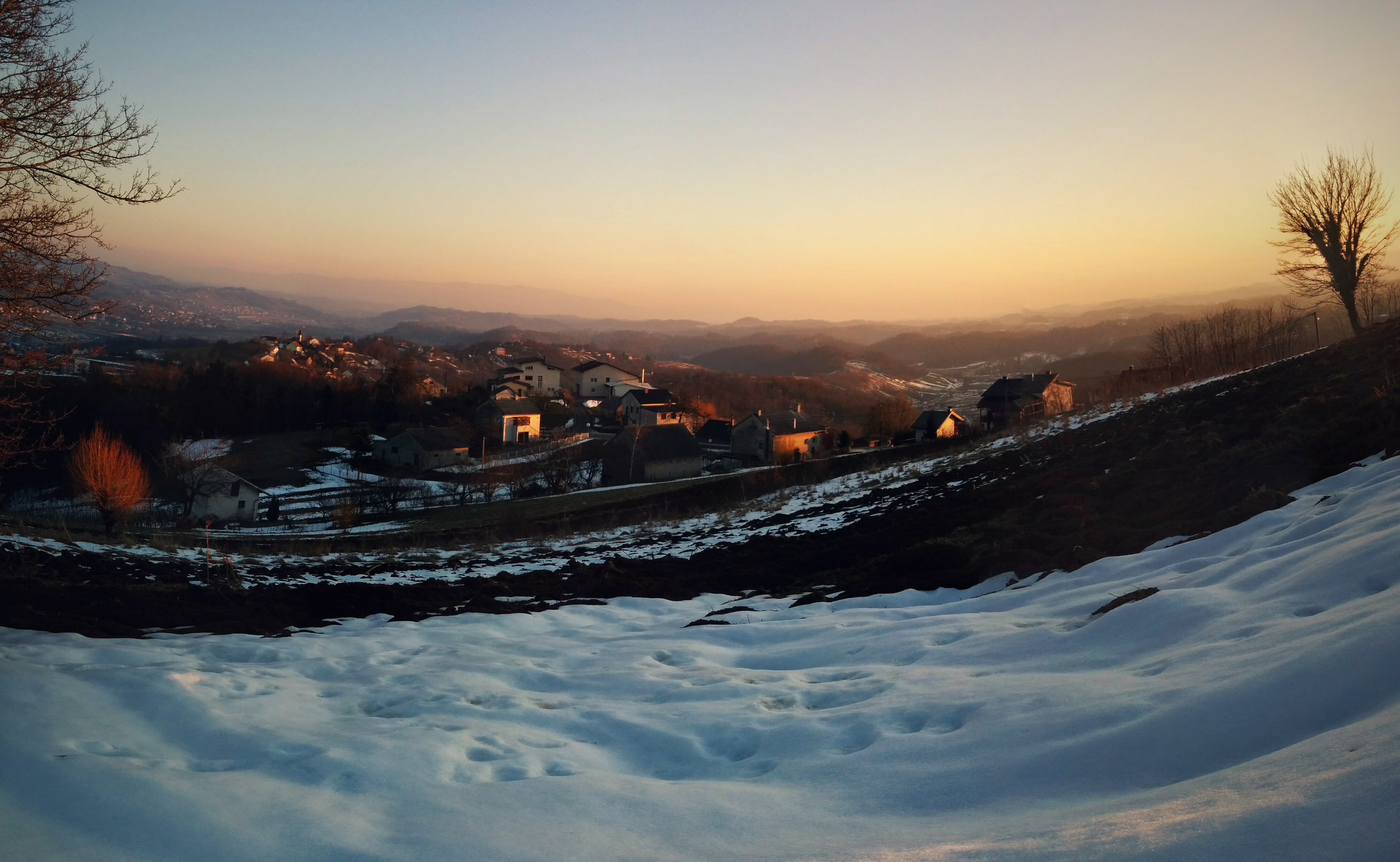
The view

Tito's memorial building hill view

castle - Veliki Tabor (01)

castle - Veliki Tabor (02)

264/365
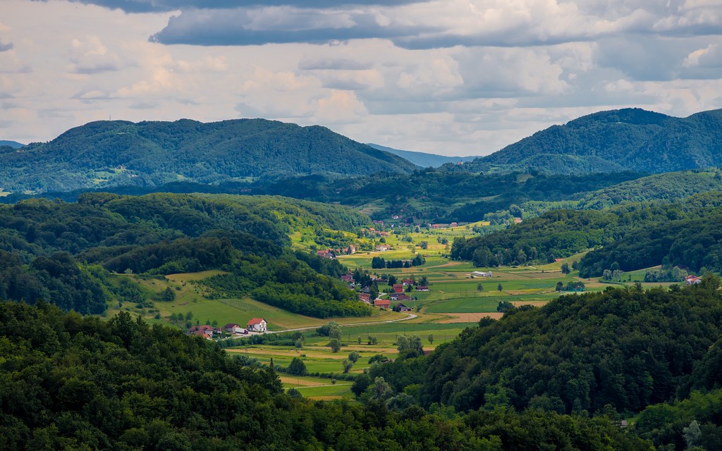
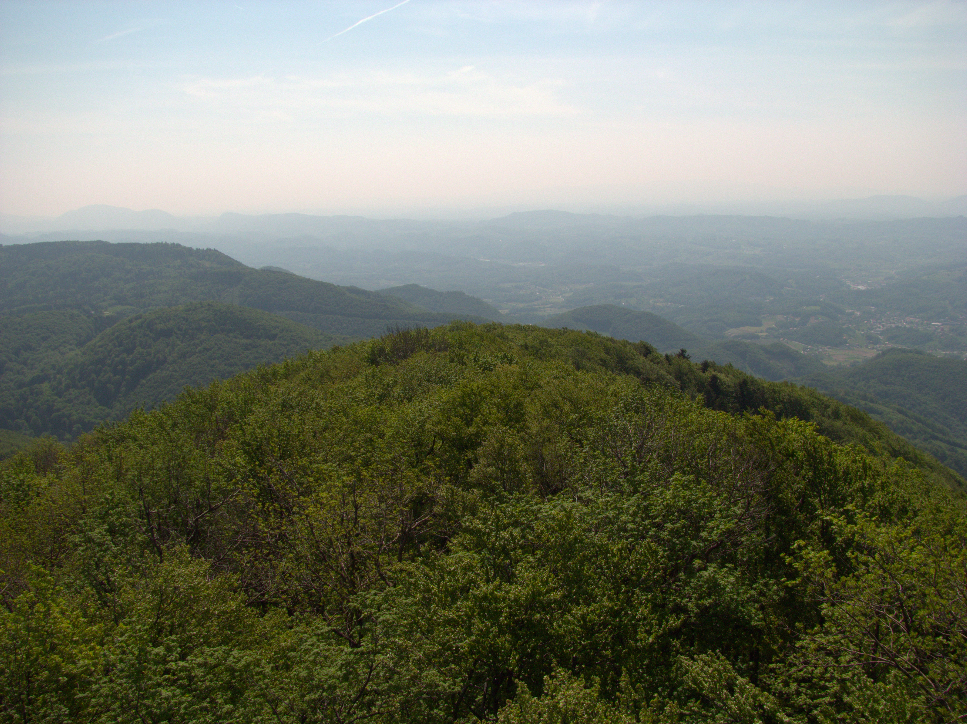
Zagorje (16)

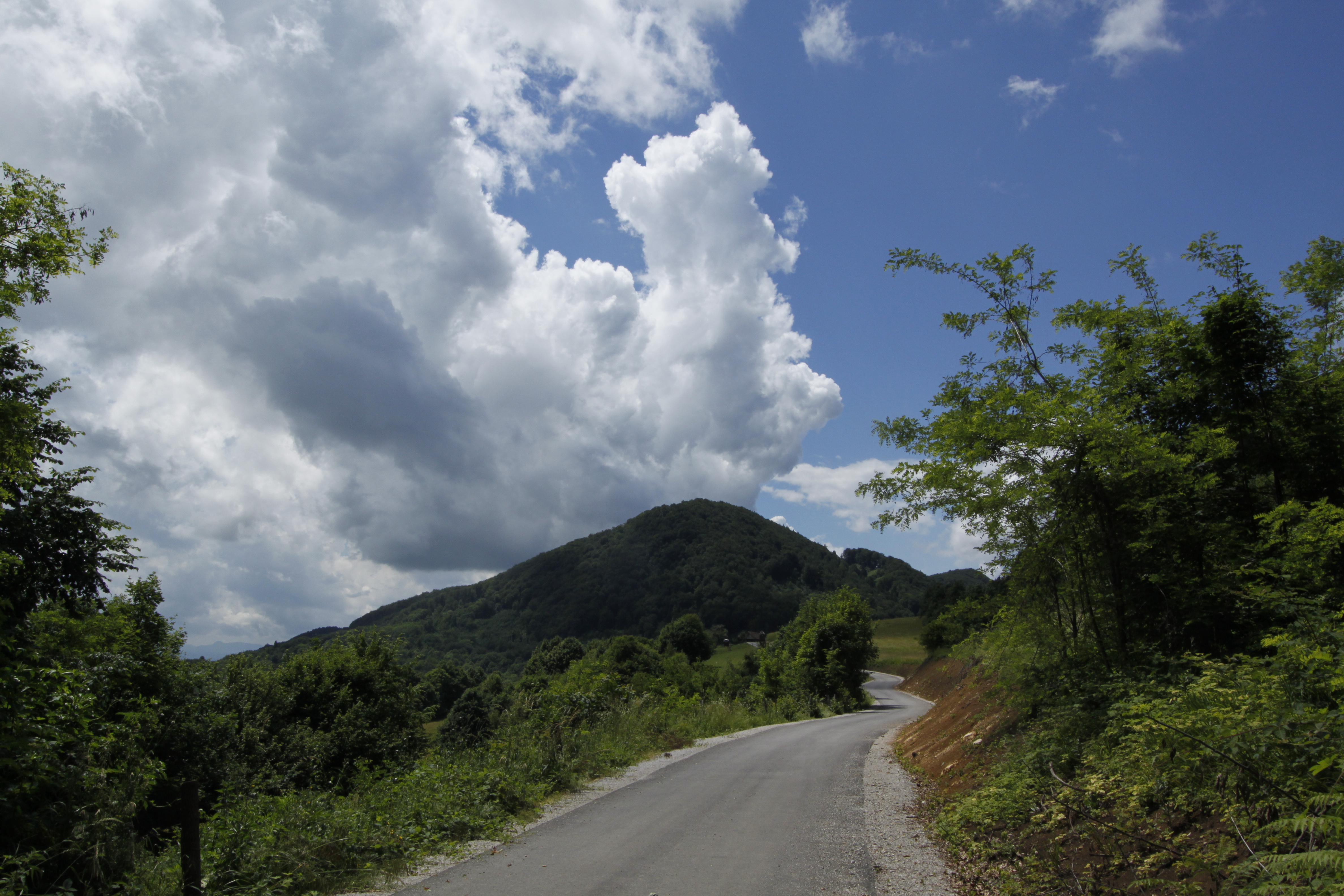
Dreveniška gora
Donačka gora - pogled z Boča
CRW_1501.DNG
kumulusi nad Velikim Špičekom
CRW_1505.DNG
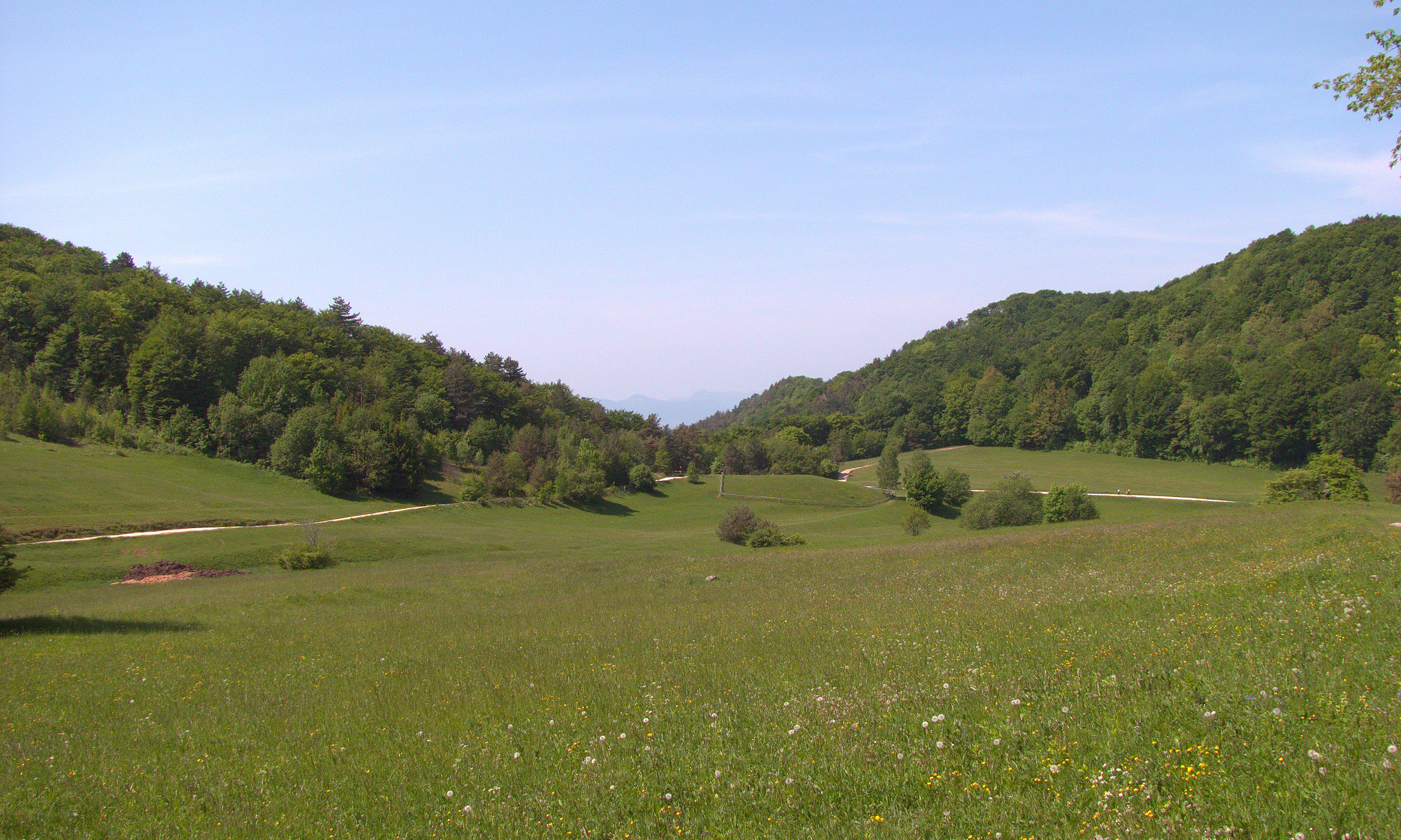
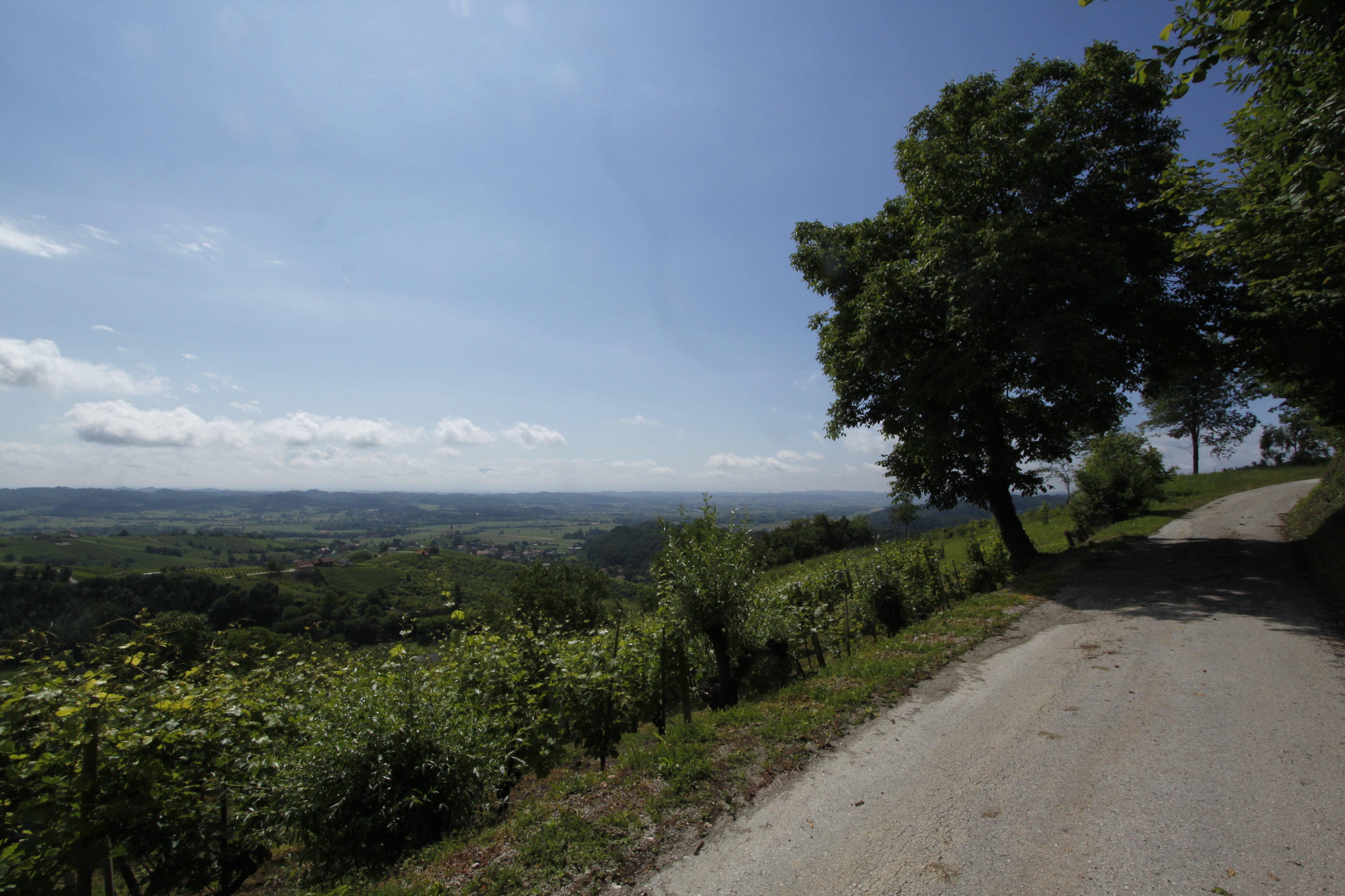
polje pod Bočem

Dreveniška gora
CRW_1506.DNG
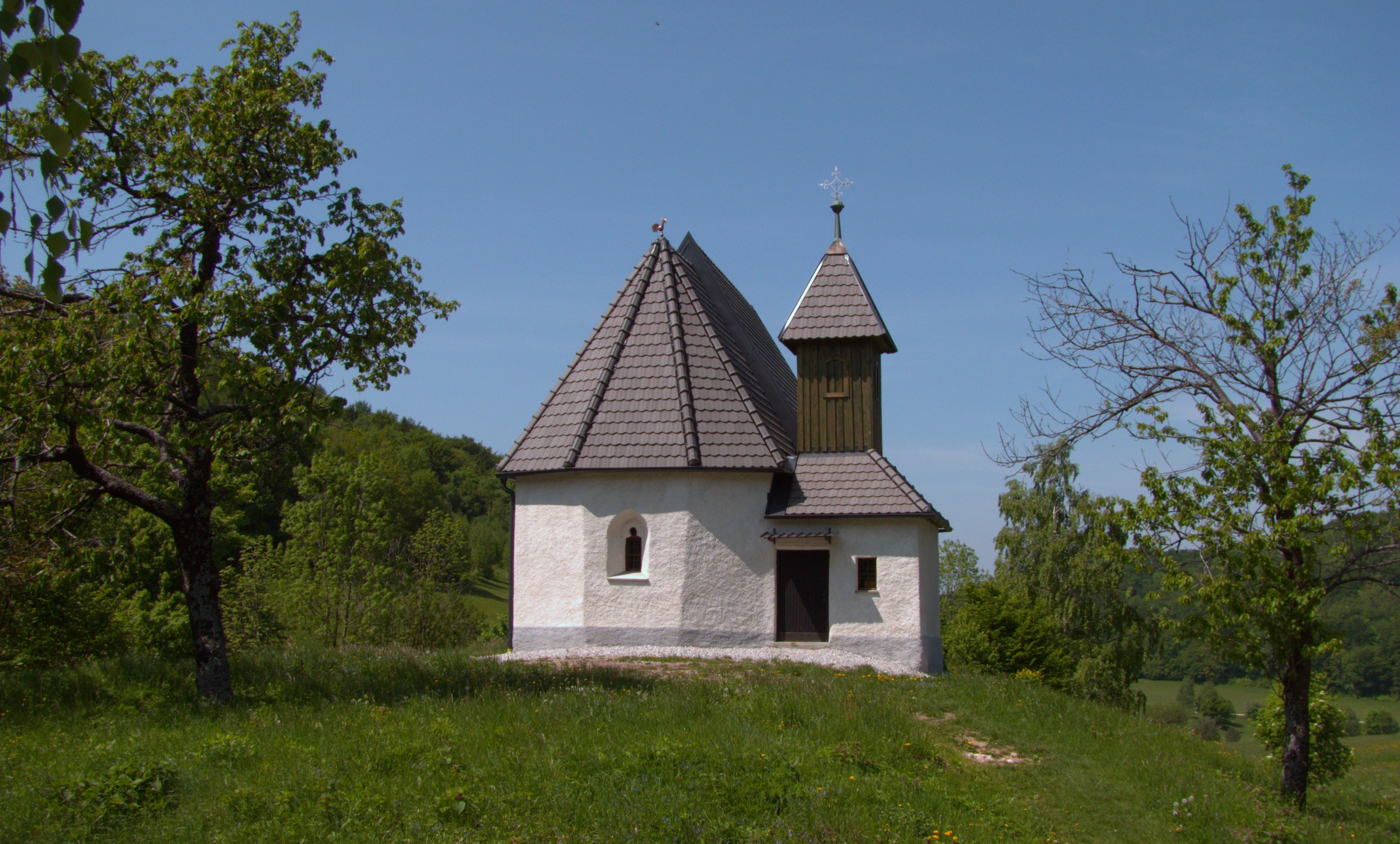
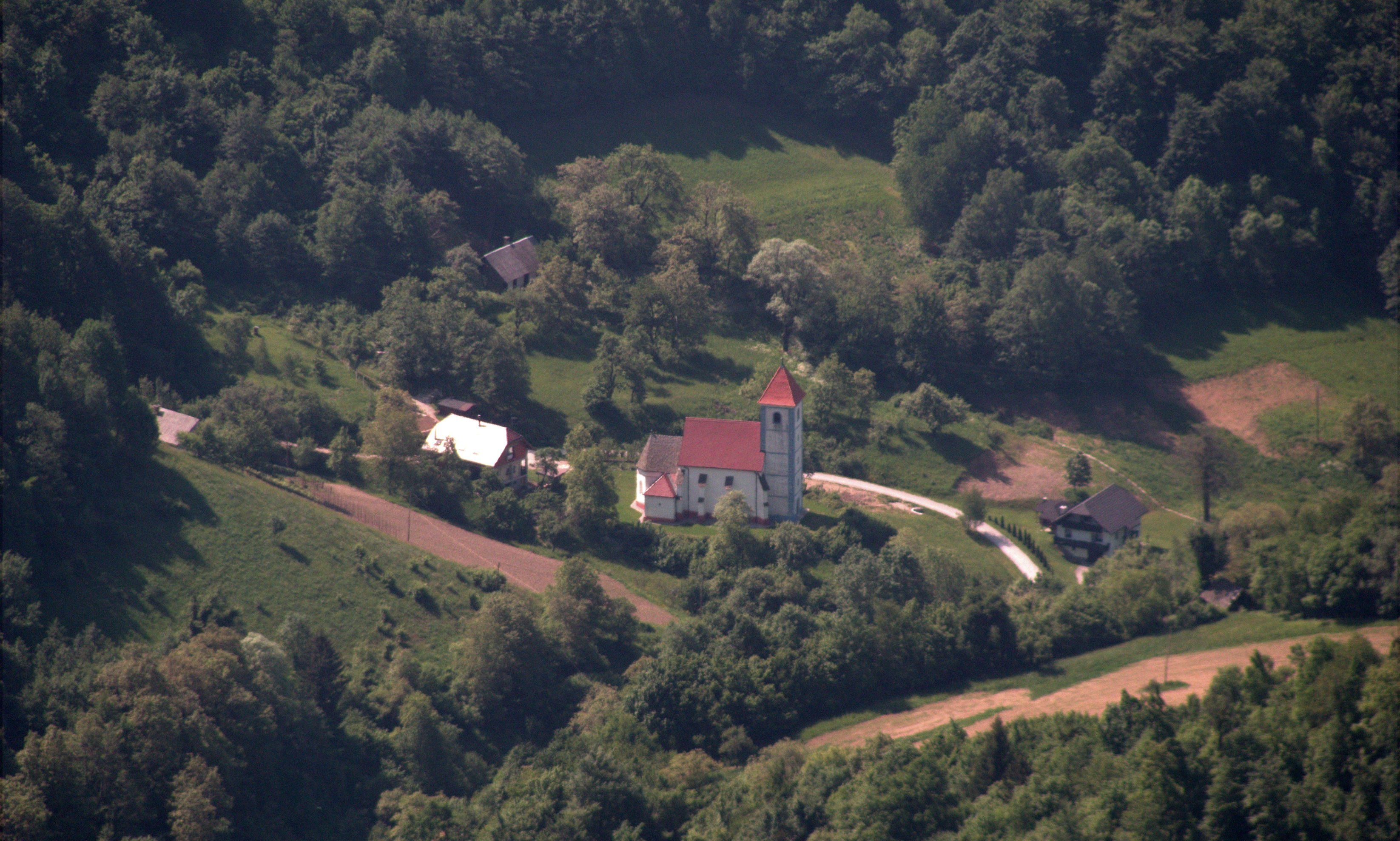
Cerkev sv. Miklavža, Boč
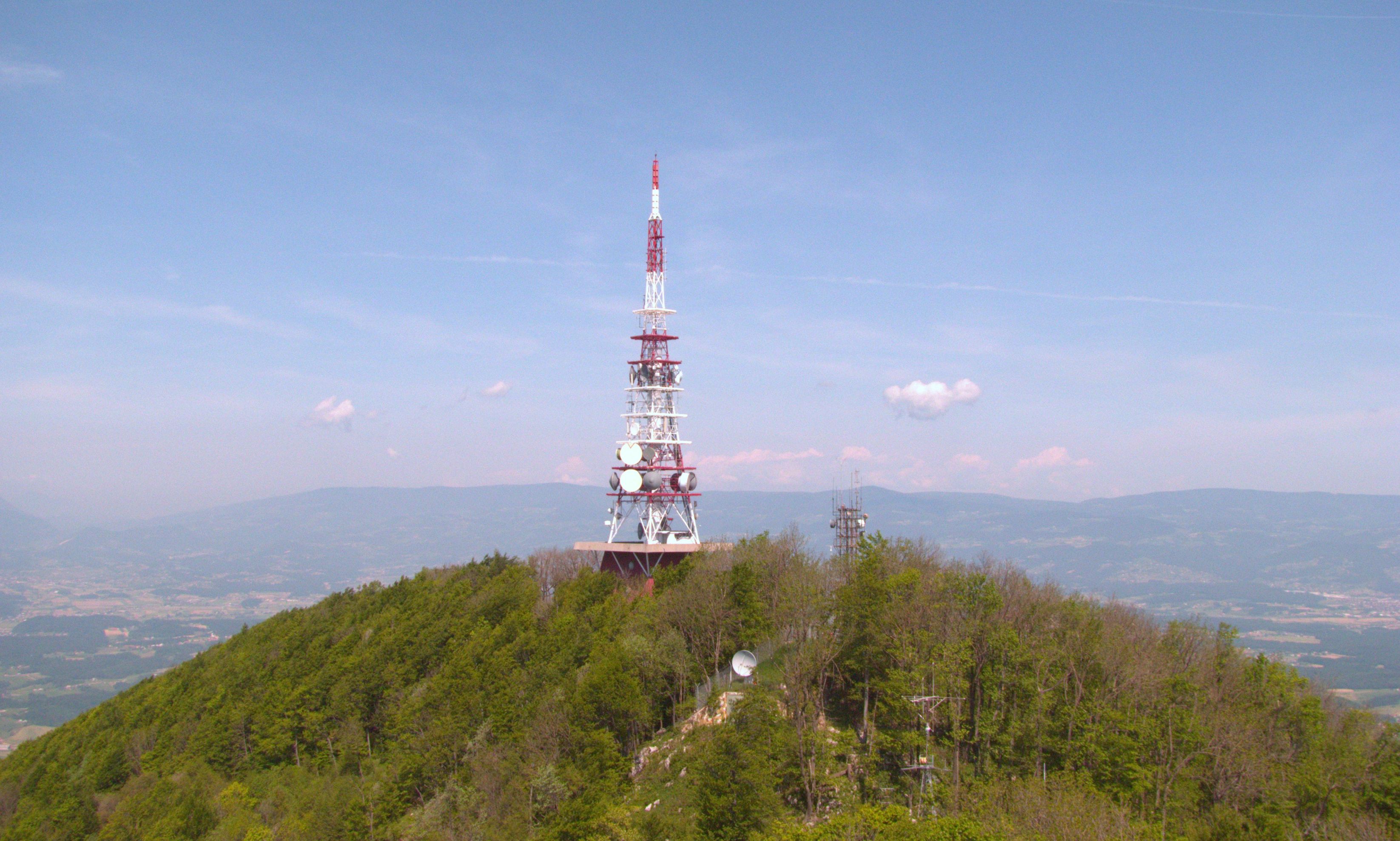
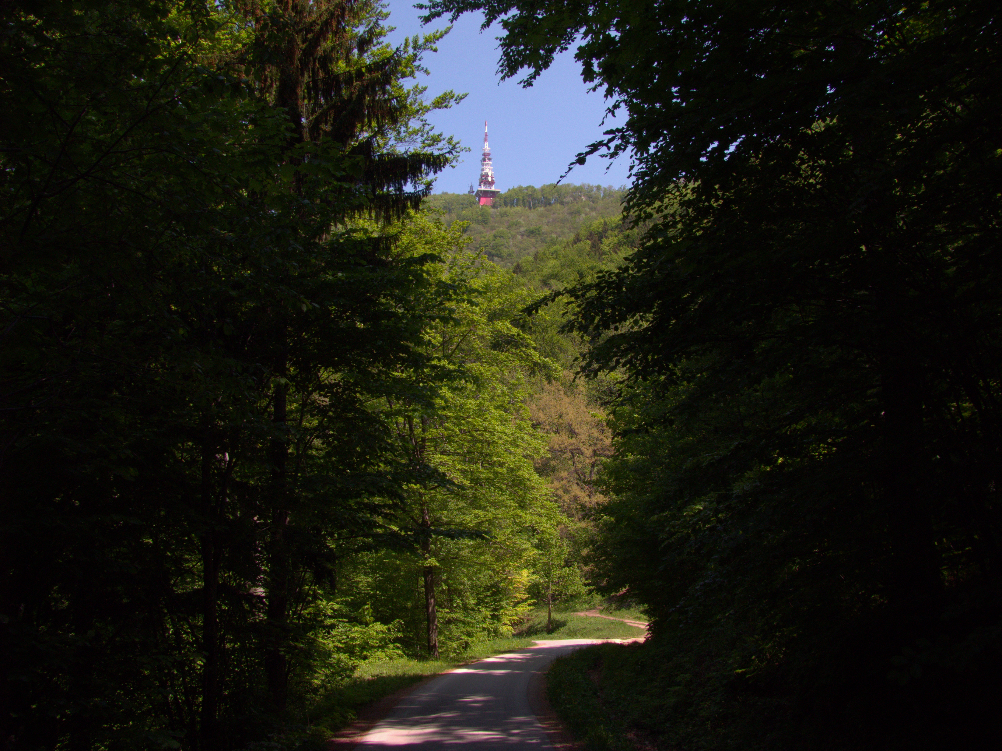
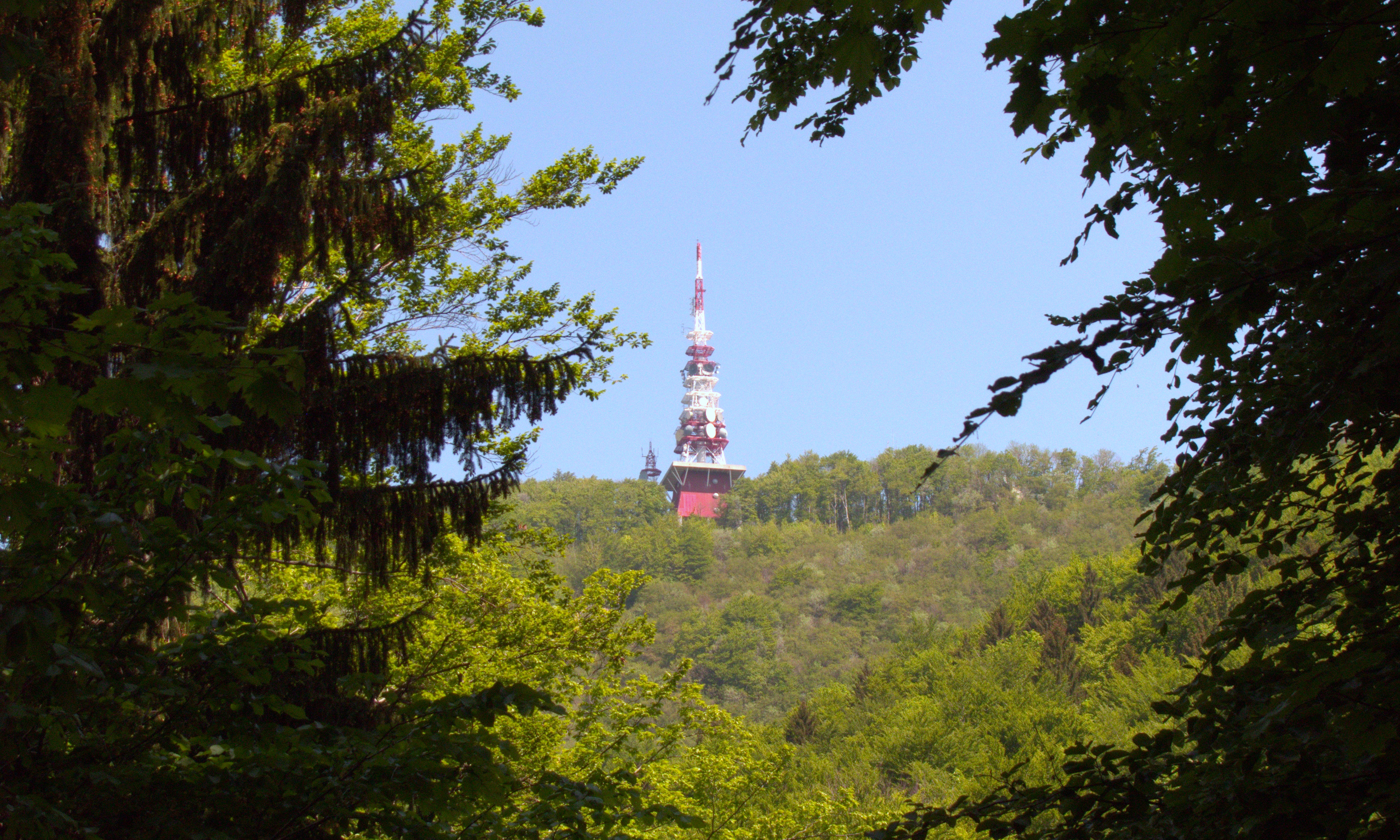
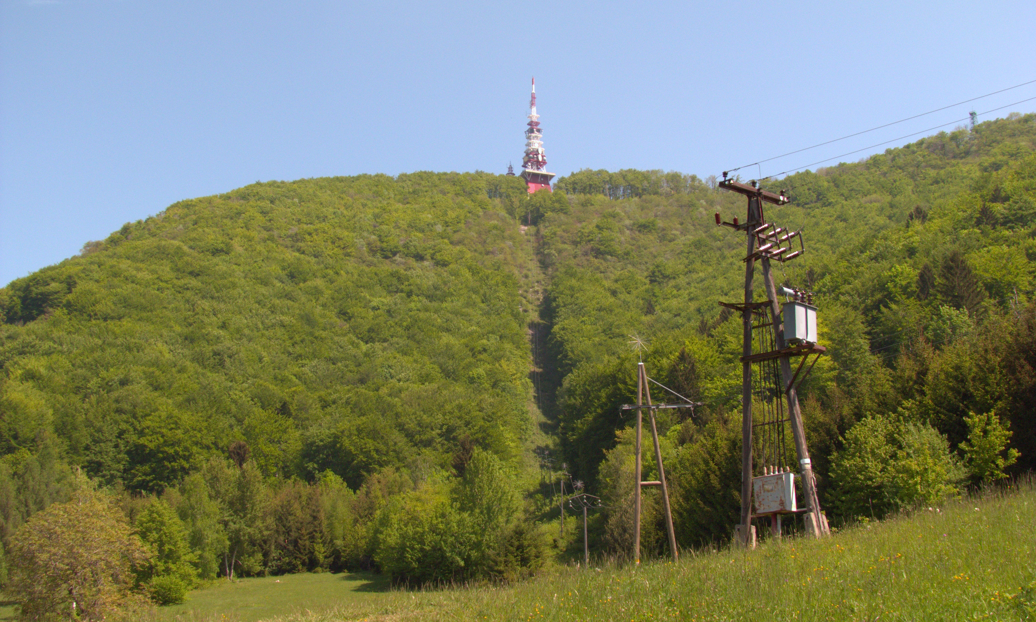
oddajnik na Boču
CRW_1507.DNG
Janeževa gorca-1
CRW_1508.DNG

Zagorje (04)

163/365
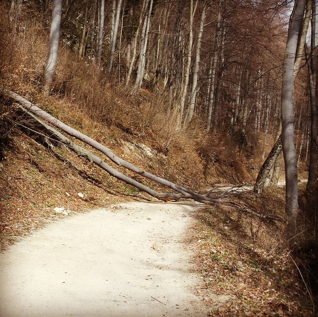
#obstacle on the way to the #climbing #crag #boc
Topographic Map of Desinić Gora 61, Desinić Gora, Croatia
Find elevation by address:

Places near Desinić Gora 61, Desinić Gora, Croatia:
Desinić Gora
Općina Desinić
Drava
Brestovška Cesta 30
Klenovec Humski 54, Klenovec Humski, Croatia
Donji Zbilj
Šmarje Pri Jelšah
Zibiška vas 11, Pristava pri Mestinju, Slovenia
Zgornje Negonje 36d
Zibiška Vas
Zgornje Negonje
Mestinje
31a
Zgornje Tinsko 14, Loka pri Žusmu, Slovenia
Babna Reka 22, Loka pri Žusmu, Slovenia
Babna Reka
Podsreda 50, Podsreda, Slovenia
Prvomajski trg 15, Poljčane, Slovenia
95a
5a
Recent Searches:
- Elevation of N 82nd Pl, Mesa, AZ, USA
- Elevation of Snake Hill Rd, North Scituate, RI, USA
- Elevation of Lake Shore Dr, Warwick, RI, USA
- Elevation of E Brightview Ave, Pittsburgh, PA, USA
- Elevation of Cavendish Rd, Harringay Ladder, London N4 1RR, UK
- Elevation of 1 Zion Park Blvd, Springdale, UT, USA
- Elevation of Ganderbal
- Elevation map of Konkan Division, Maharashtra, India
- Elevation of Netaji Nagar, Hallow Pul, Kurla, Mumbai, Maharashtra, India
- Elevation of Uralsk, Kazakhstan