Elevation of Desert View Rd, Pinon Hills, CA, USA
Location: United States > California > San Bernardino County > Pinon Hills >
Longitude: -117.63466
Latitude: 34.452996
Elevation: 1171m / 3842feet
Barometric Pressure: 88KPa
Elevation Map:
Satellite Map:
Related Photos:
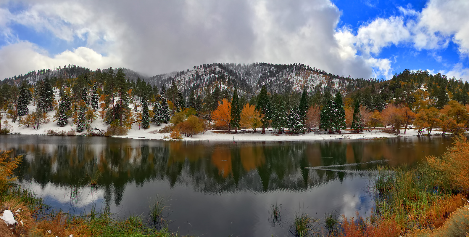
Autumn at Jackson Lake
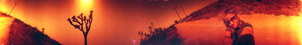
out across the desert

lovz2hike.com Mt Baden Powel 2016

Tired of Summer, We Need Winter!
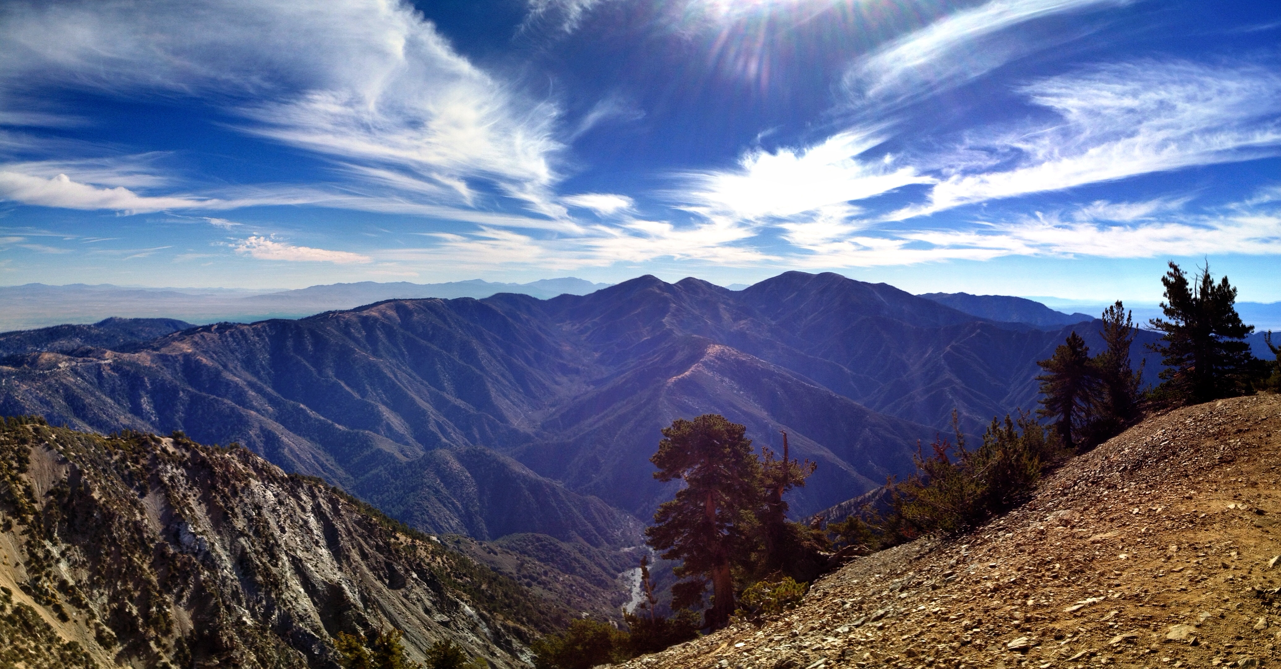
View from Baden-Powell summit
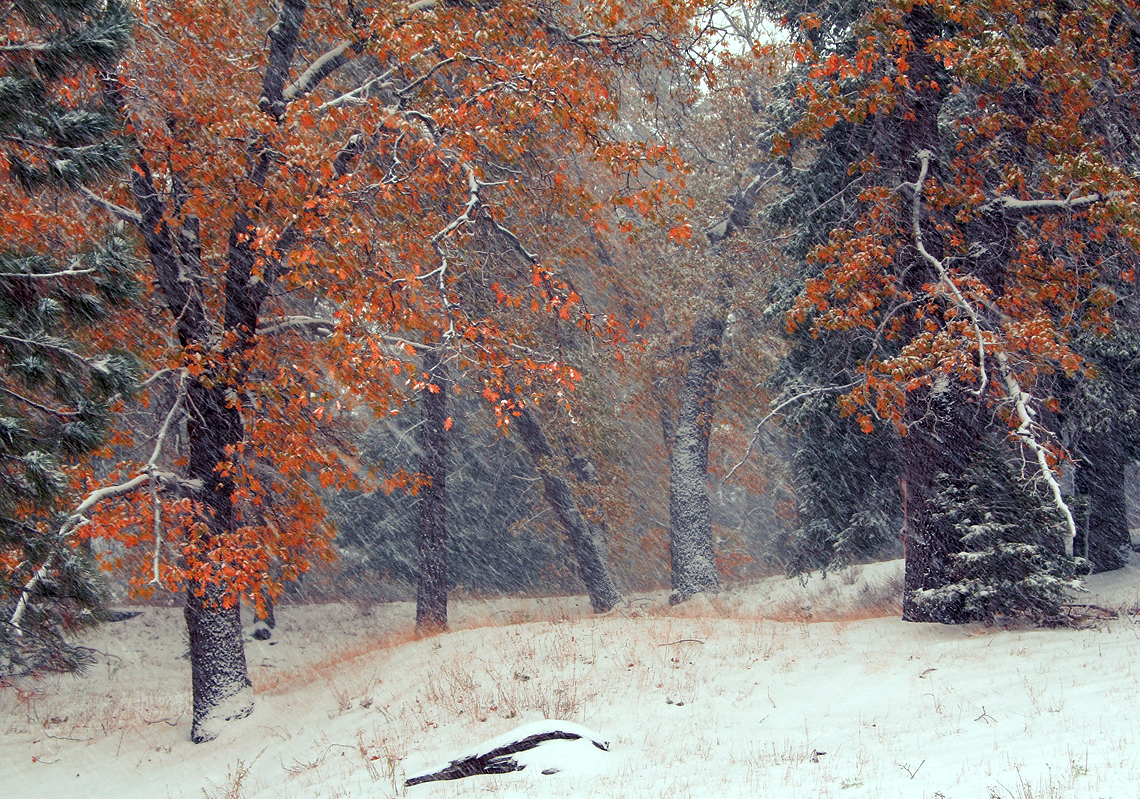
First Snow
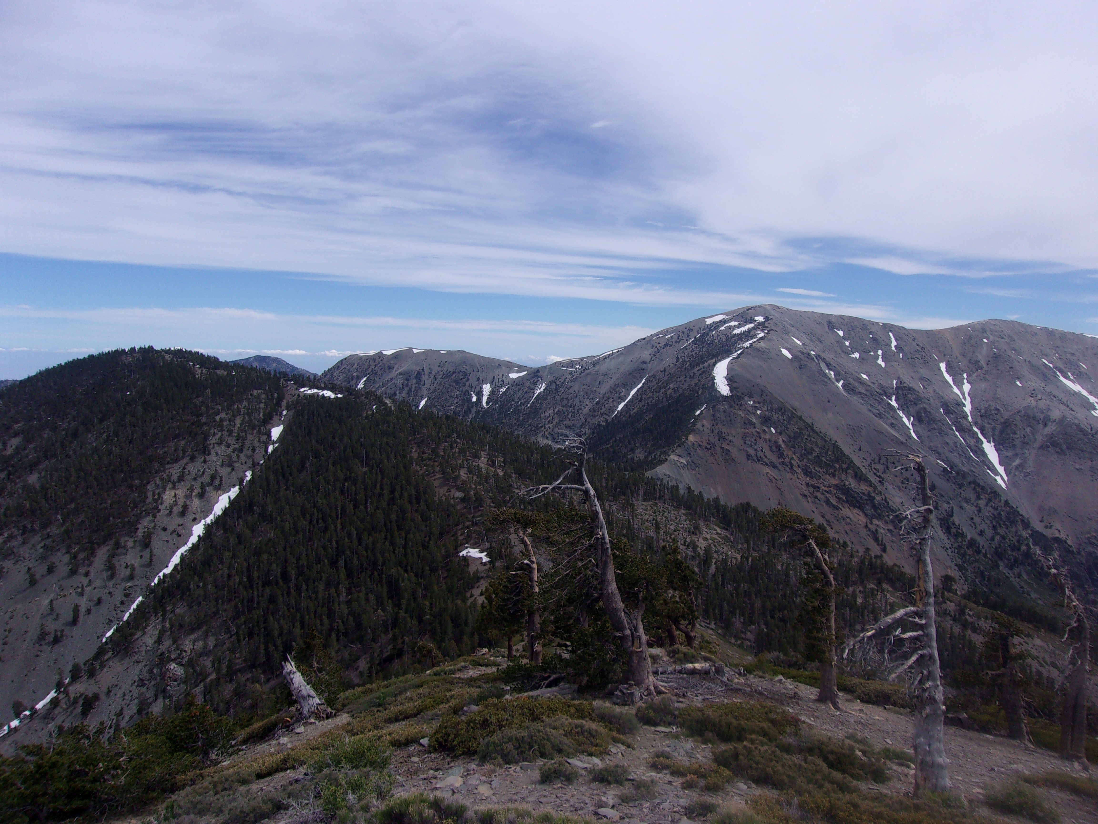
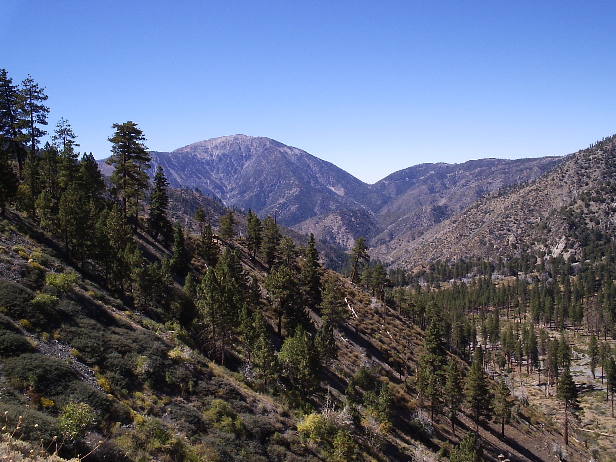
Pine Mountain (9,648') Summit View- L-R- Dawson Peak (9,575'), Mt. Harwood (9,552'), Mt. San Antonio ("Mt. Baldy"- 10,064'), and West Baldy (9,988')- 6/10/17
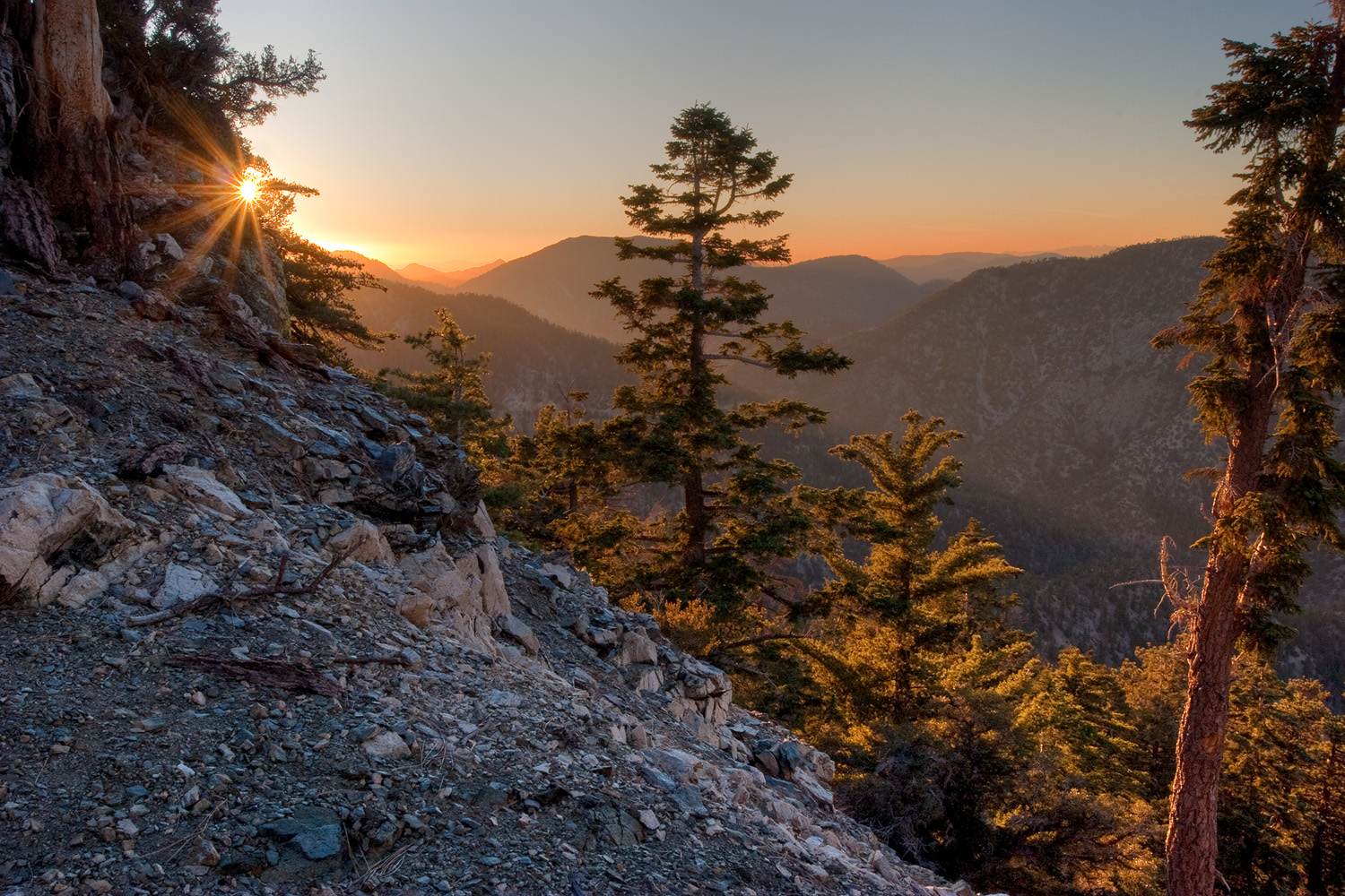
Sunset over the San Gabriel and Pleasant View Ridge Wilderness Areas

Largo Vista Desert View
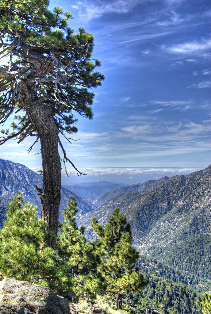
View from Pacific Crest Trail
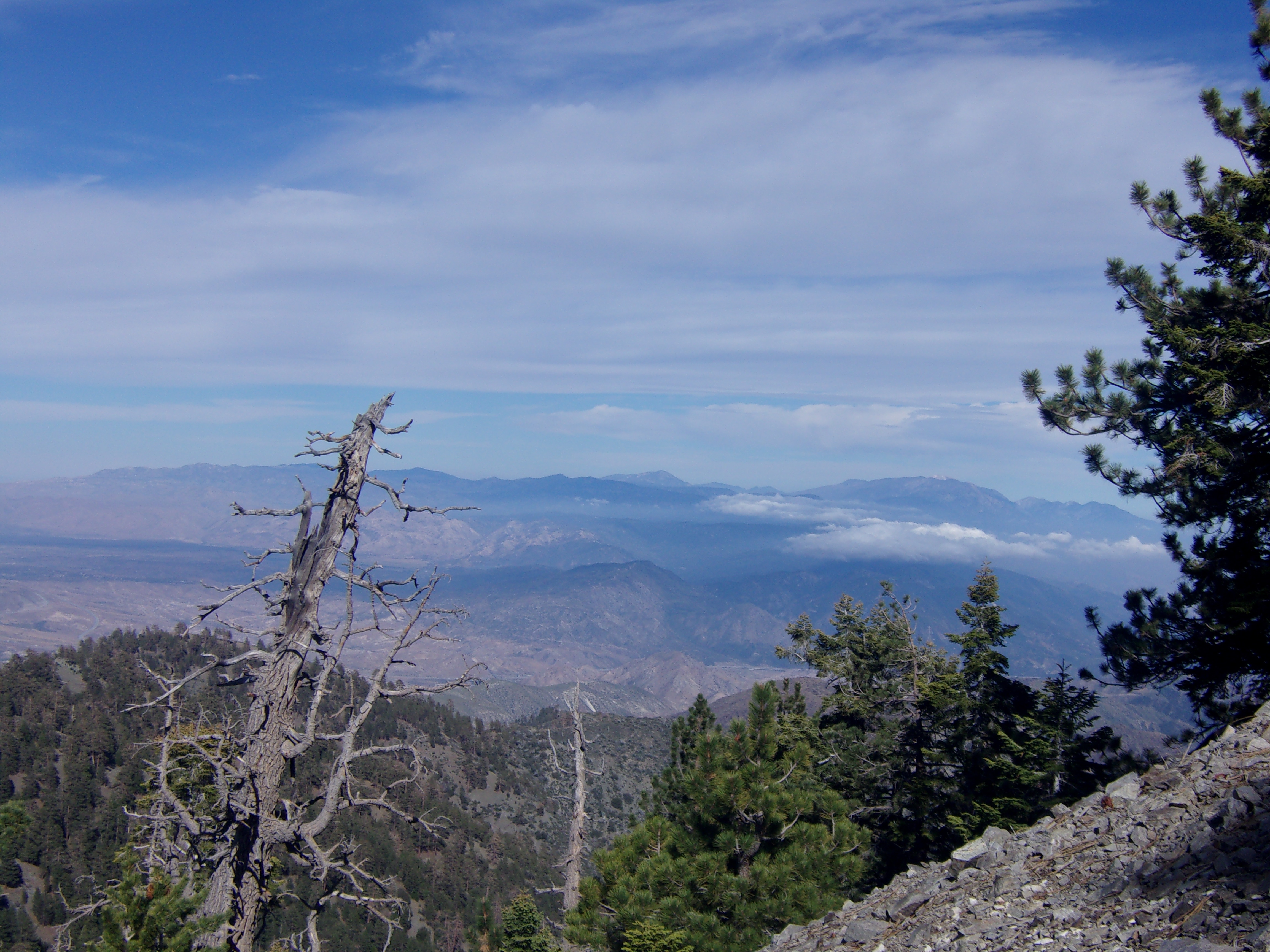
View to San Bernardino Mountains on Slope of Pine Mtn. (9,648')- 6/10/17
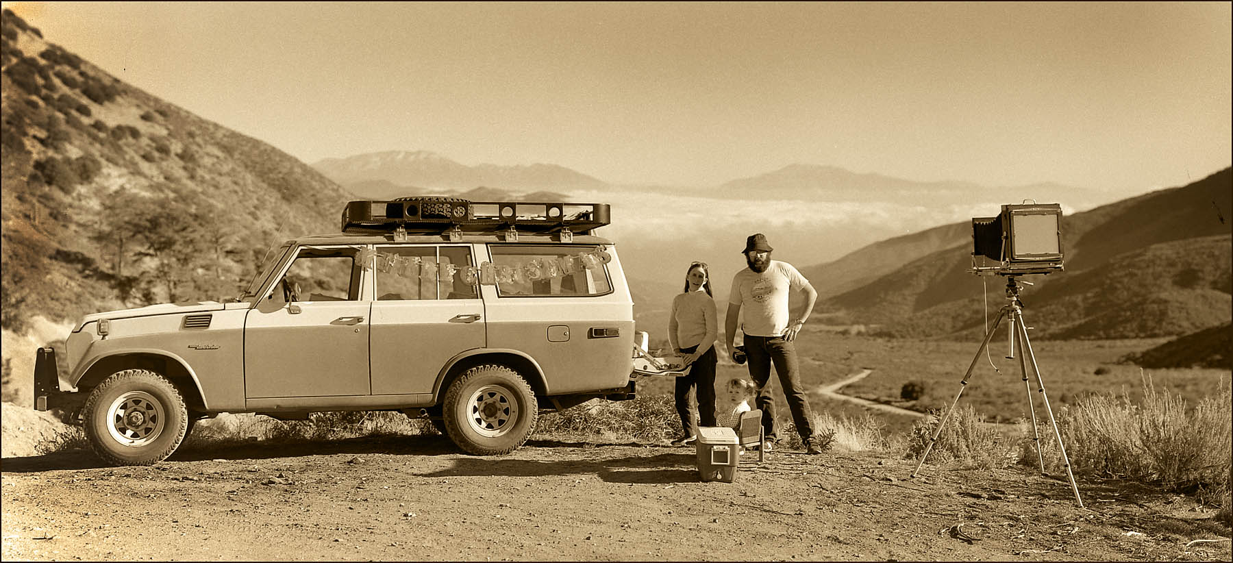
Large Format Holiday Card - 1983
Mount Baden-Powell
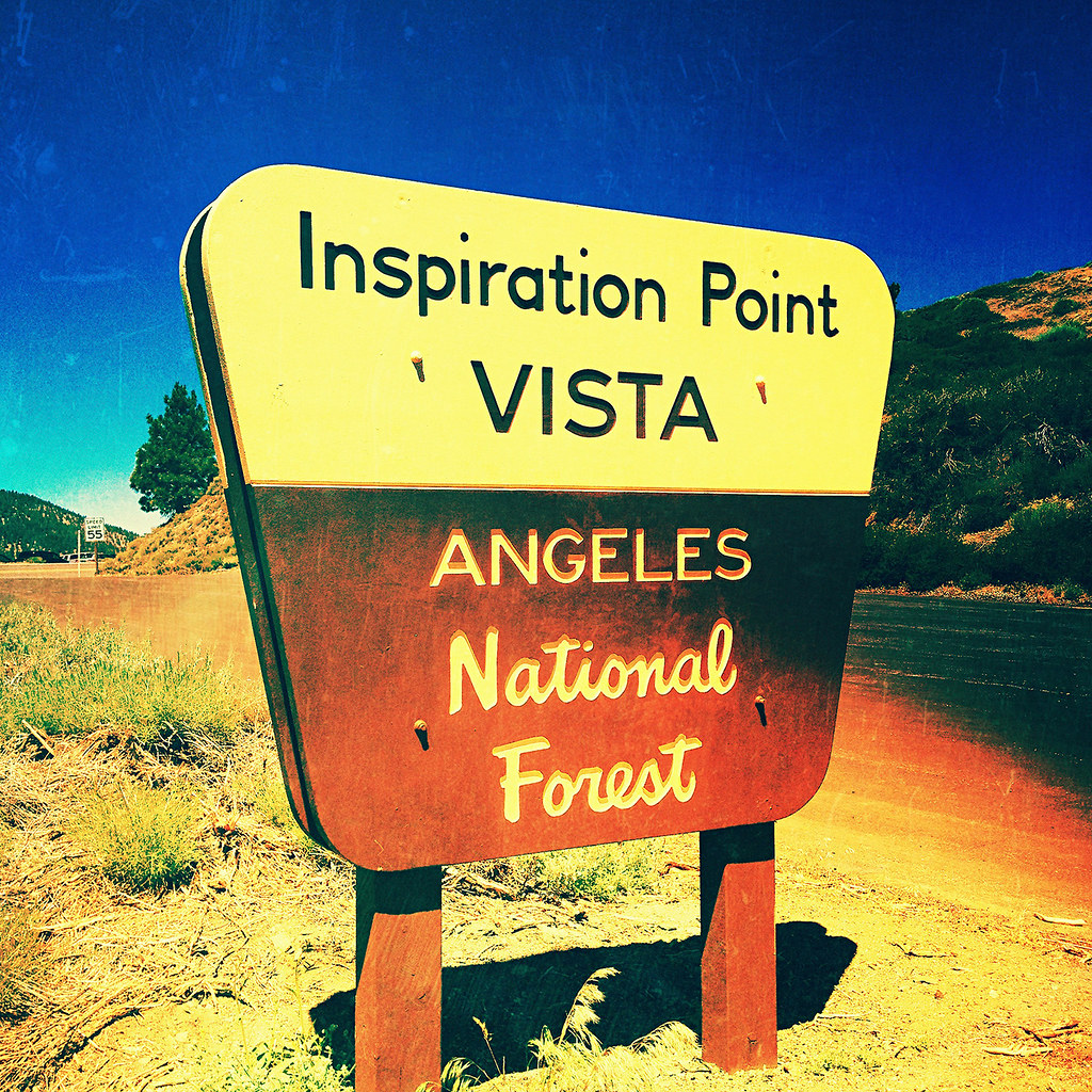
inspiration point. big pines, ca. 2012.
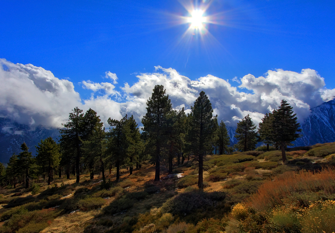
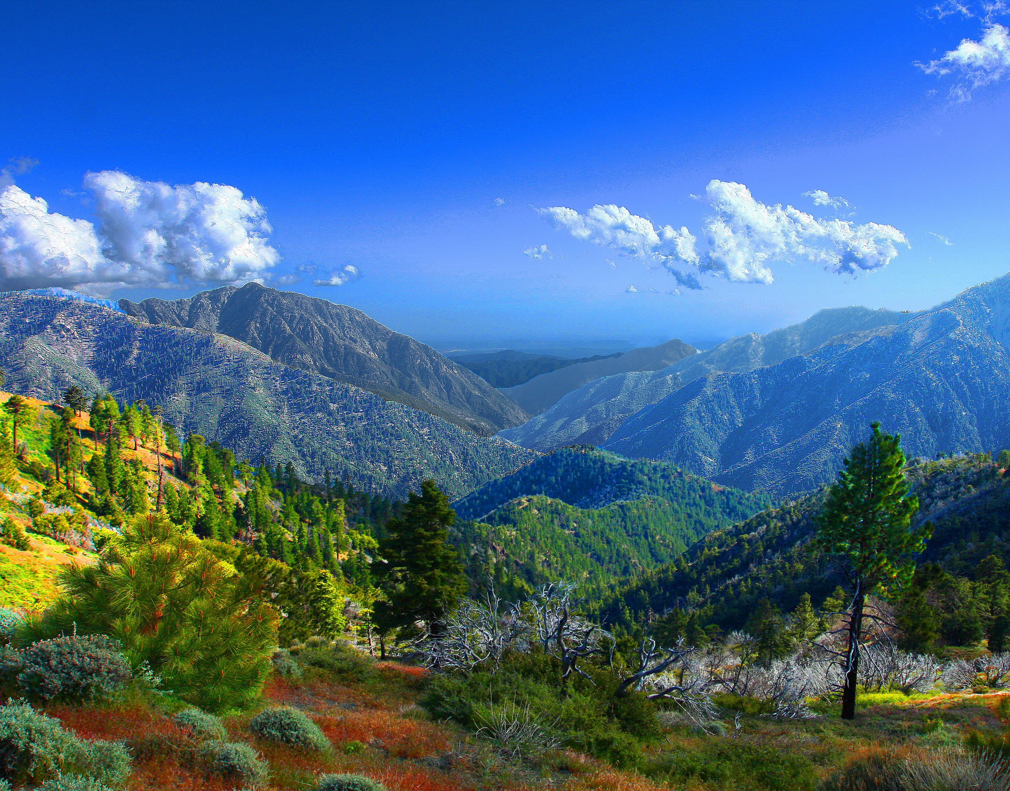
Mountain High

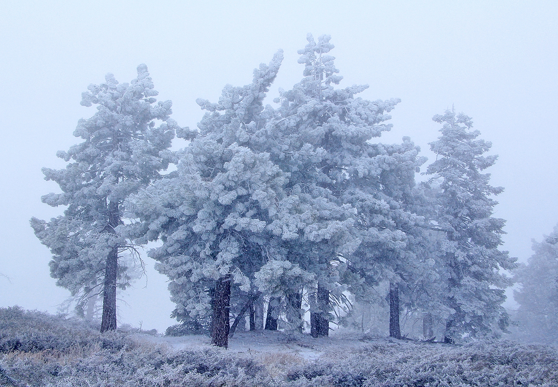
A White Winter
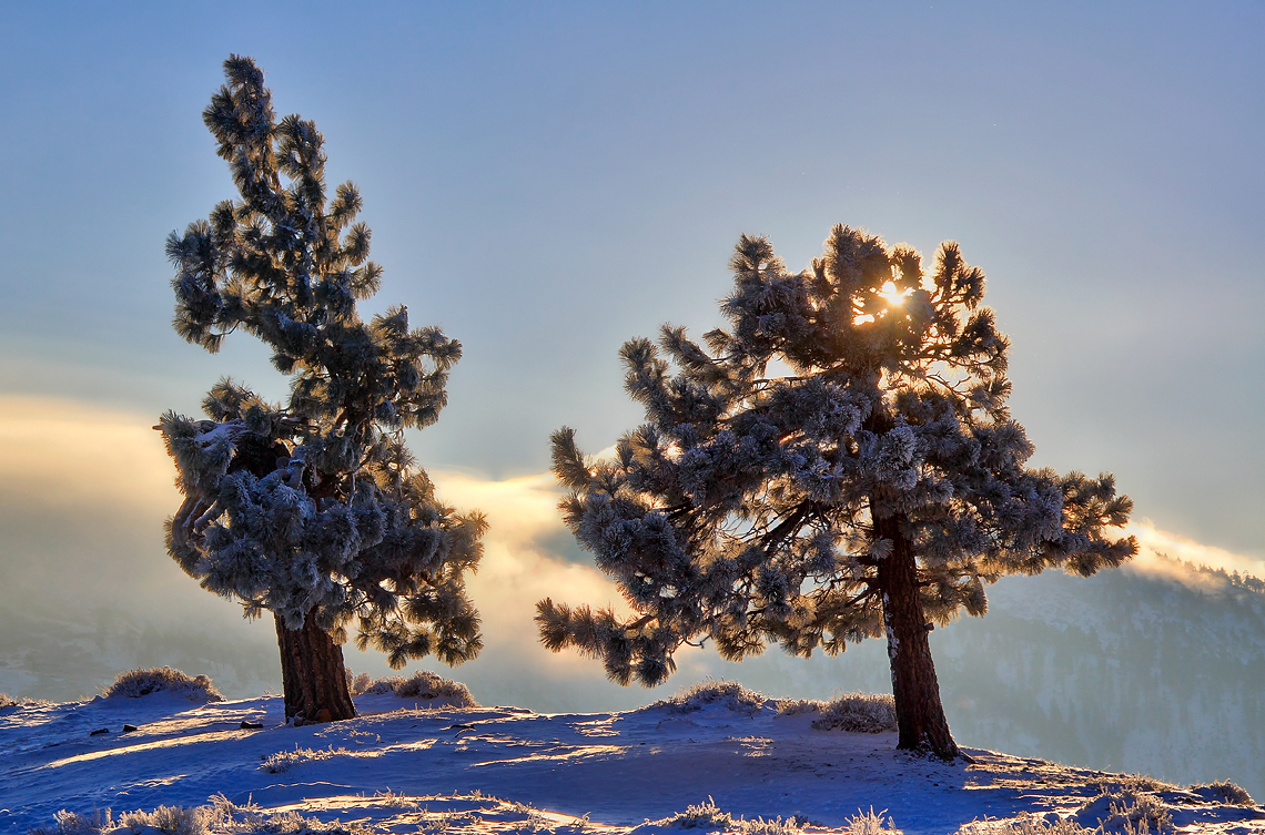
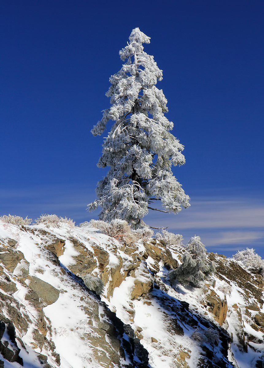
Stay Frosty
The Sheep Mountain Wilderness
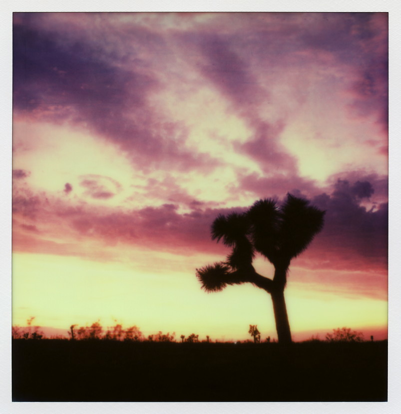
Pearblossom Highway Sunset
Snowy Sunrise
Above It All

Explored 3/24/2011 - The Last Day of Winter
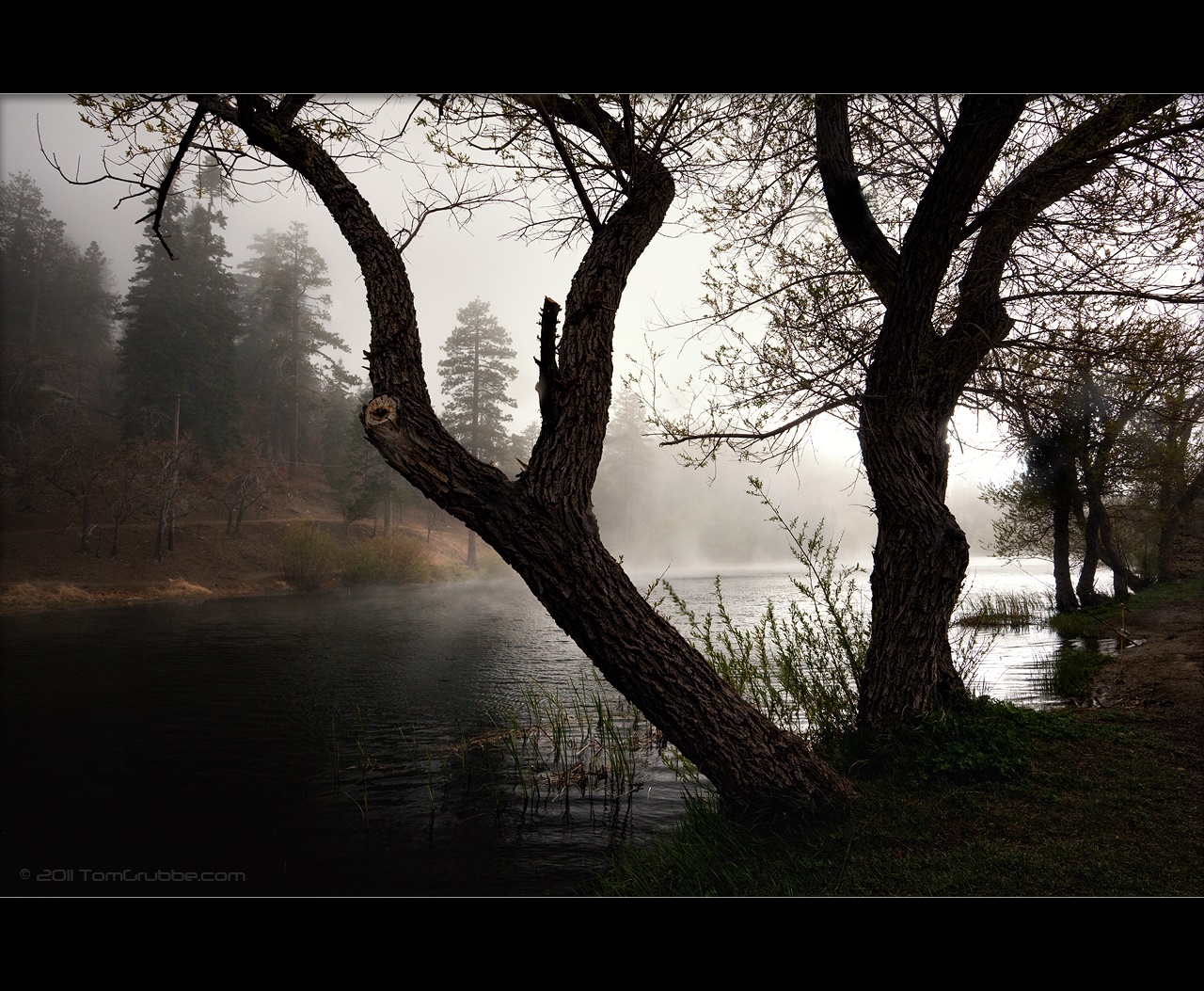
Tree and Fog - Jackson Lake

So Cold!
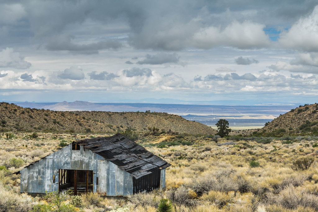
Old Pig Farm
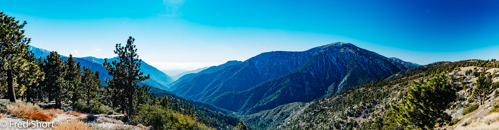
_15B6209-Pano.jpg
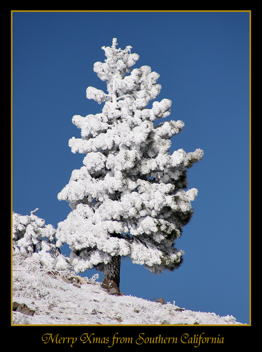
Merry Christmas from Southern California
Just a Dash of Snow
Topographic Map of Desert View Rd, Pinon Hills, CA, USA
Find elevation by address:

Places near Desert View Rd, Pinon Hills, CA, USA:
United States Postal Service
Pinon Hills
323 Juniper Rd
Tamarack Road
9322 Spruce Rd
9072 Green Rd
2030 Trinity Rd
Arrowhead Dr, Pinon Hills, CA, USA
10750 Sheep Creek Rd
Sand Canyon Road
3788 Trinity Rd
11051 Riggins Rd
Phelan
2126 Quail Haven Dr
9876 Sierra Vista Rd
Snowline Joint Unified School District
9077 Sierra Vista Rd
8724 Riggins Rd
CA-18, Phelan, CA, USA
7931 Riggins Rd
Recent Searches:
- Elevation of Tenjo, Cundinamarca, Colombia
- Elevation of Côte-des-Neiges, Montreal, QC H4A 3J6, Canada
- Elevation of Bobcat Dr, Helena, MT, USA
- Elevation of Zu den Ihlowbergen, Althüttendorf, Germany
- Elevation of Badaber, Peshawar, Khyber Pakhtunkhwa, Pakistan
- Elevation of SE Heron Loop, Lincoln City, OR, USA
- Elevation of Slanický ostrov, 01 Námestovo, Slovakia
- Elevation of Spaceport America, Co Rd A, Truth or Consequences, NM, USA
- Elevation of Warwick, RI, USA
- Elevation of Fern Rd, Whitmore, CA, USA