Elevation of Deschutes River State Recreation Area, Wasco, OR, USA
Location: United States > Oregon > Sherman County > Wasco >
Longitude: -120.90860
Latitude: 45.606369
Elevation: 117m / 384feet
Barometric Pressure: 100KPa
Elevation Map:
Satellite Map:
Related Photos:
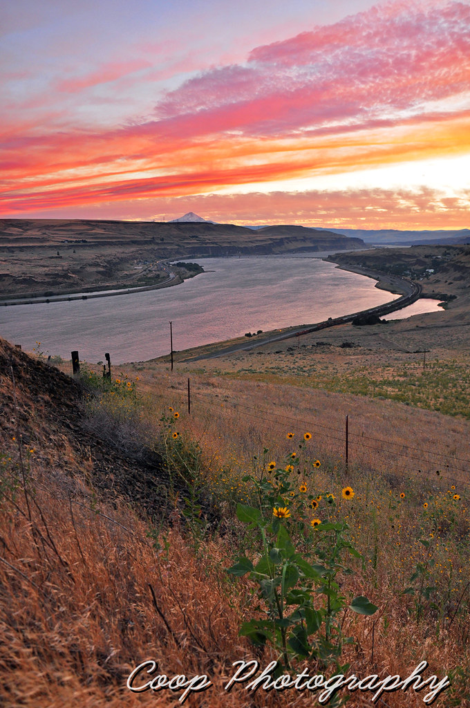
The End Of A Successful Day
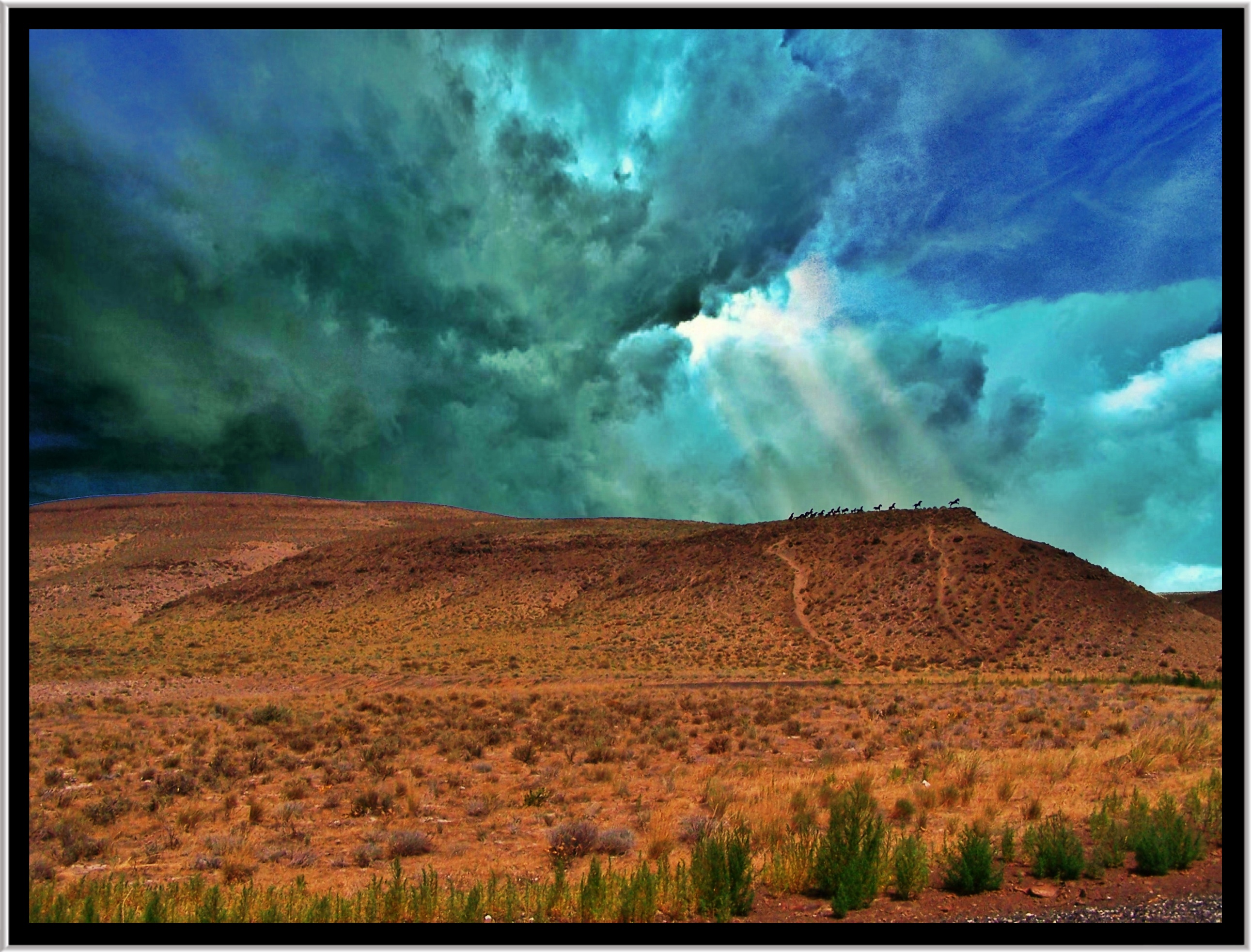
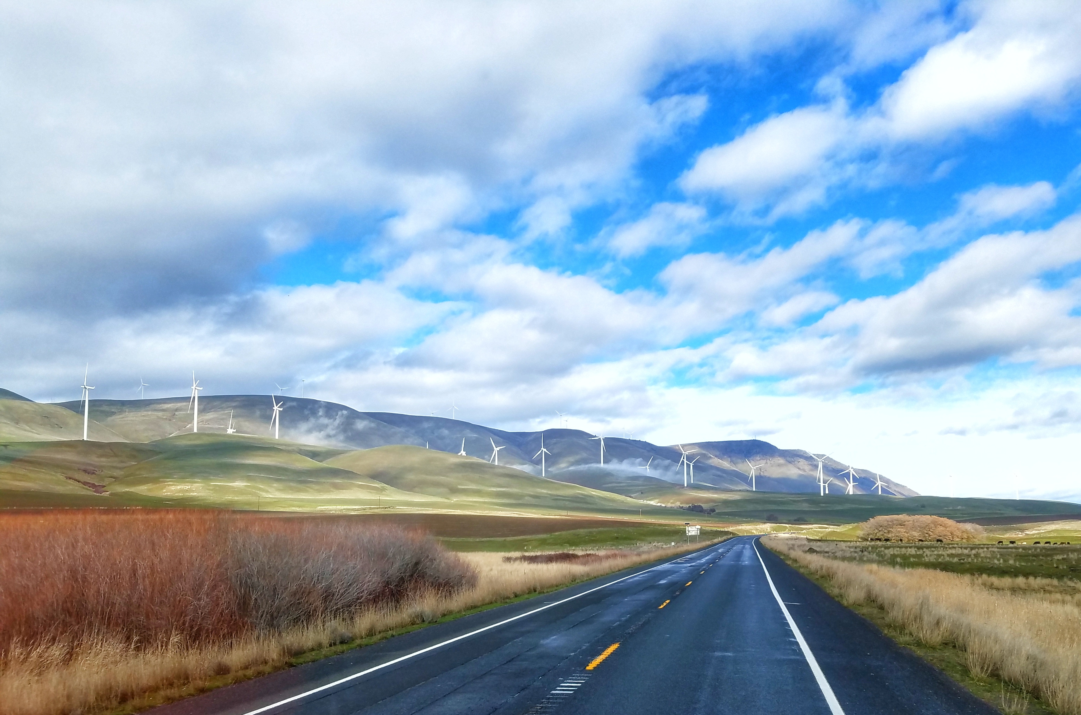
Wild Horses ~ Washington State ~ USA

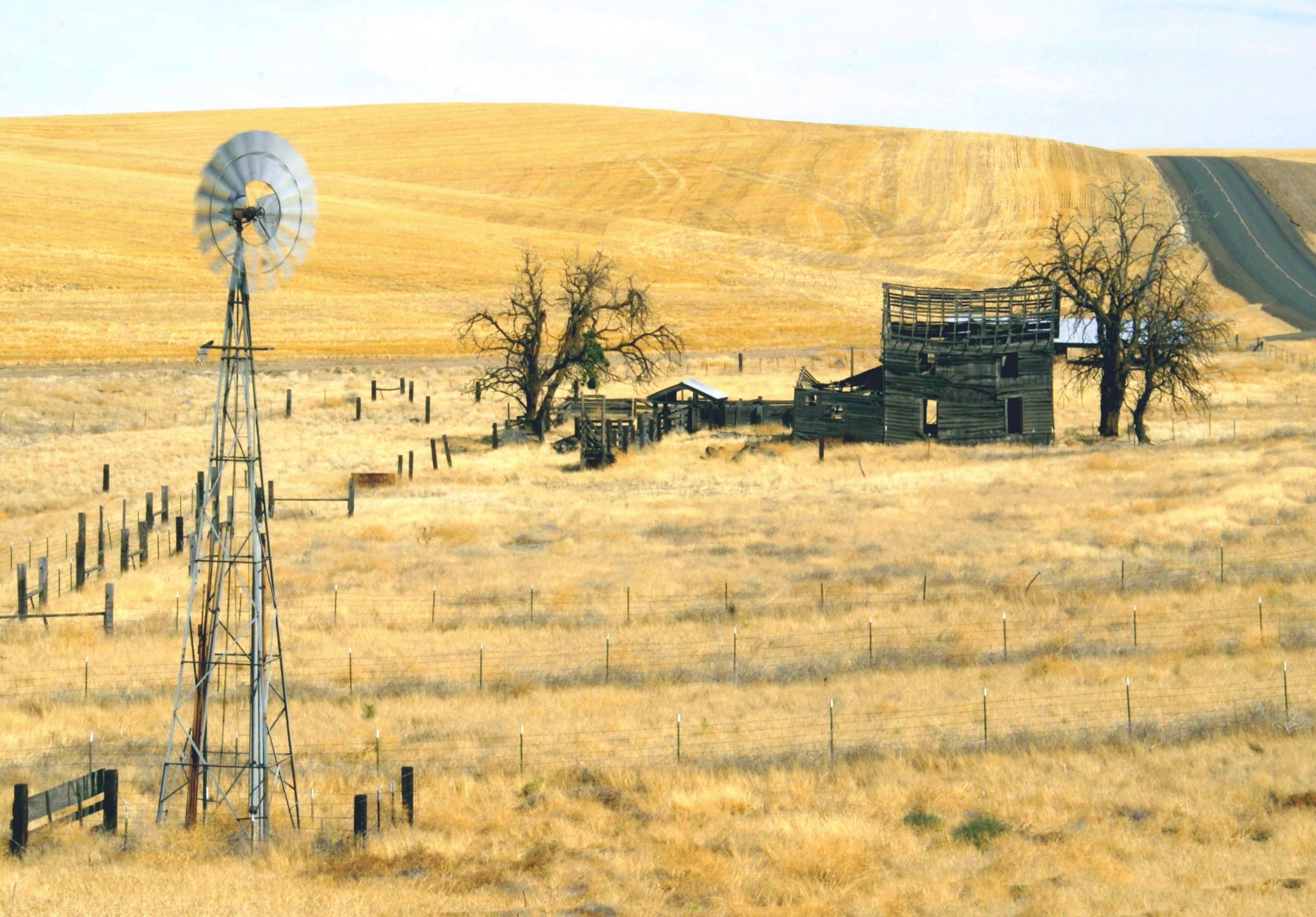
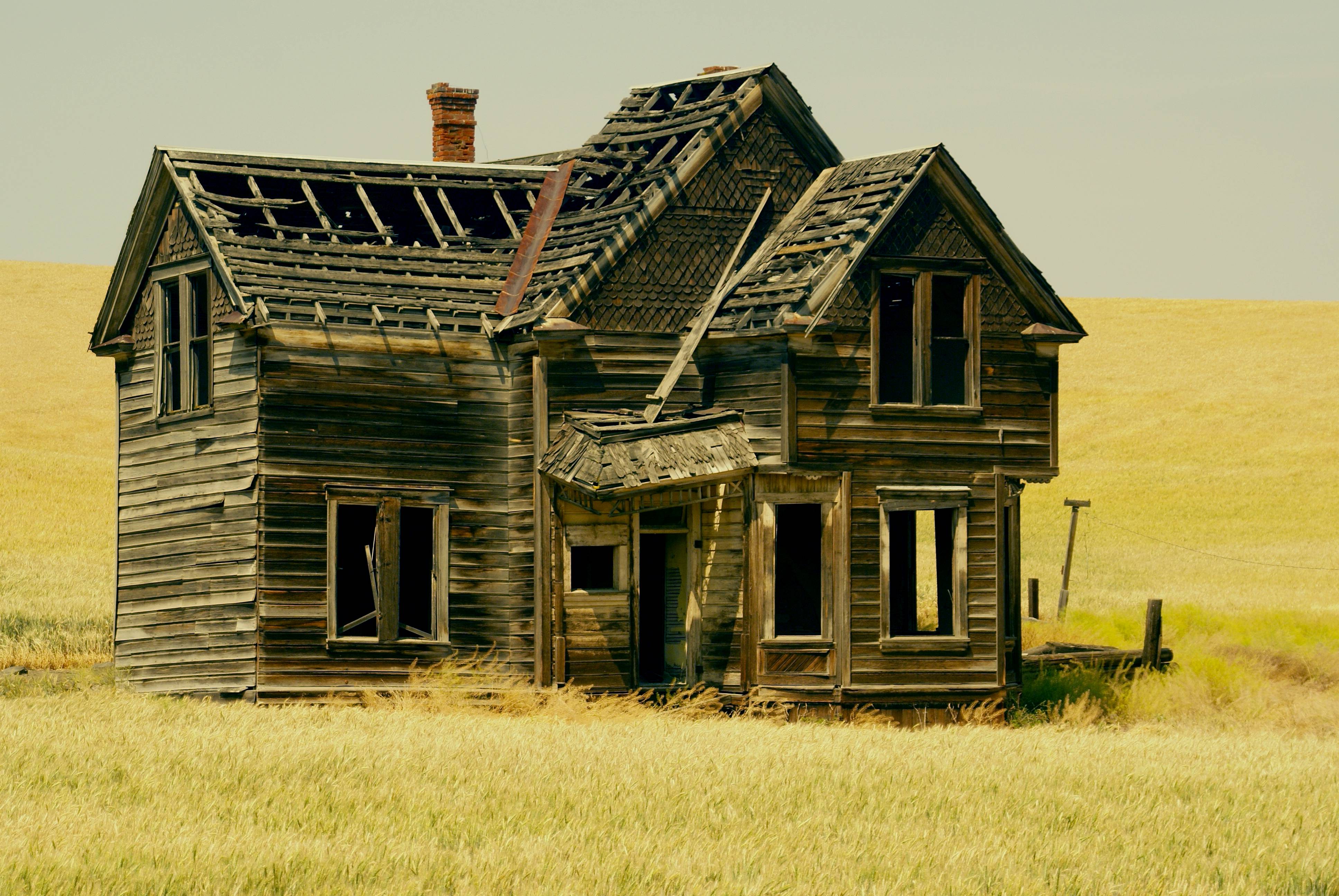
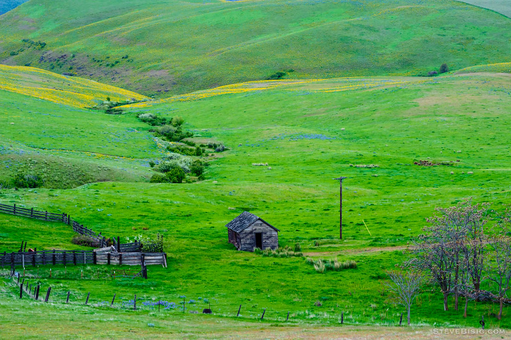
Nelson Homestead
The Dark Side Of The Mountain
Taking a Break
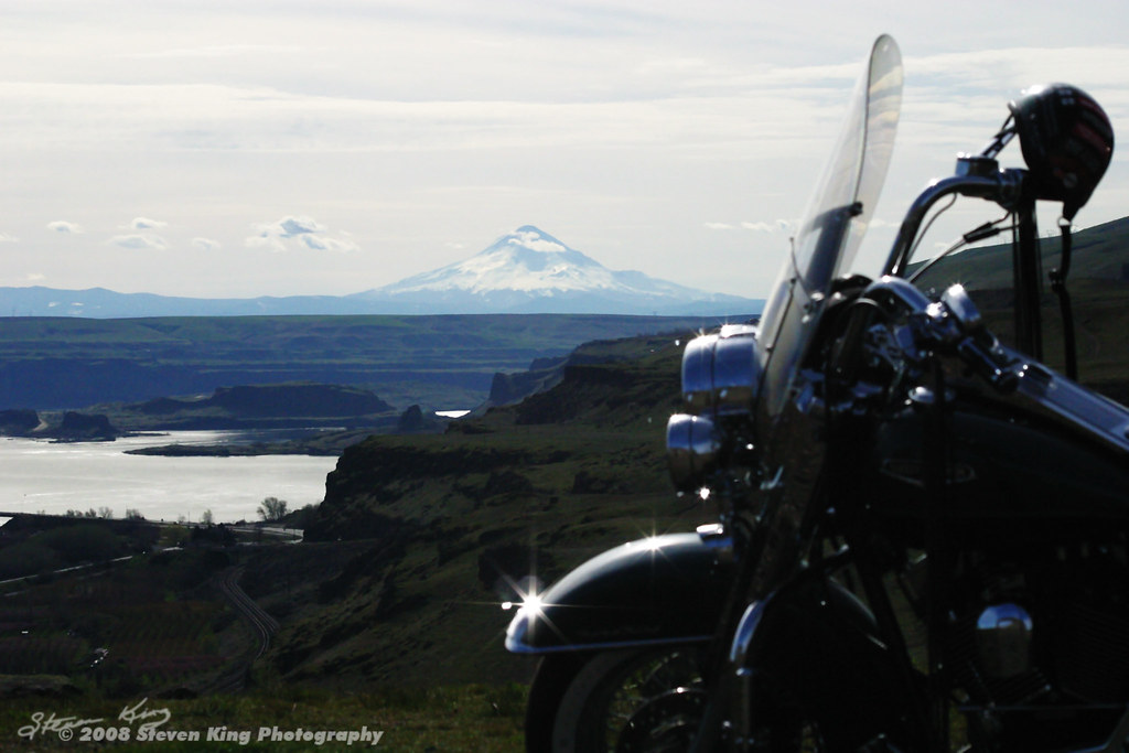
Maryhill Morning
Return To The Past
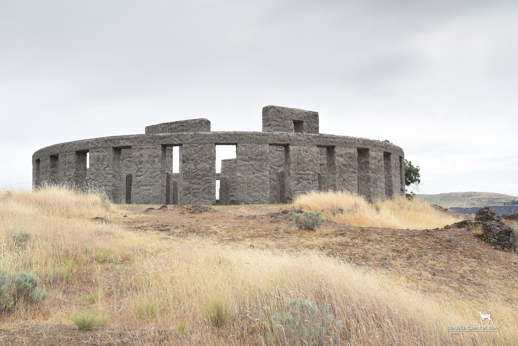
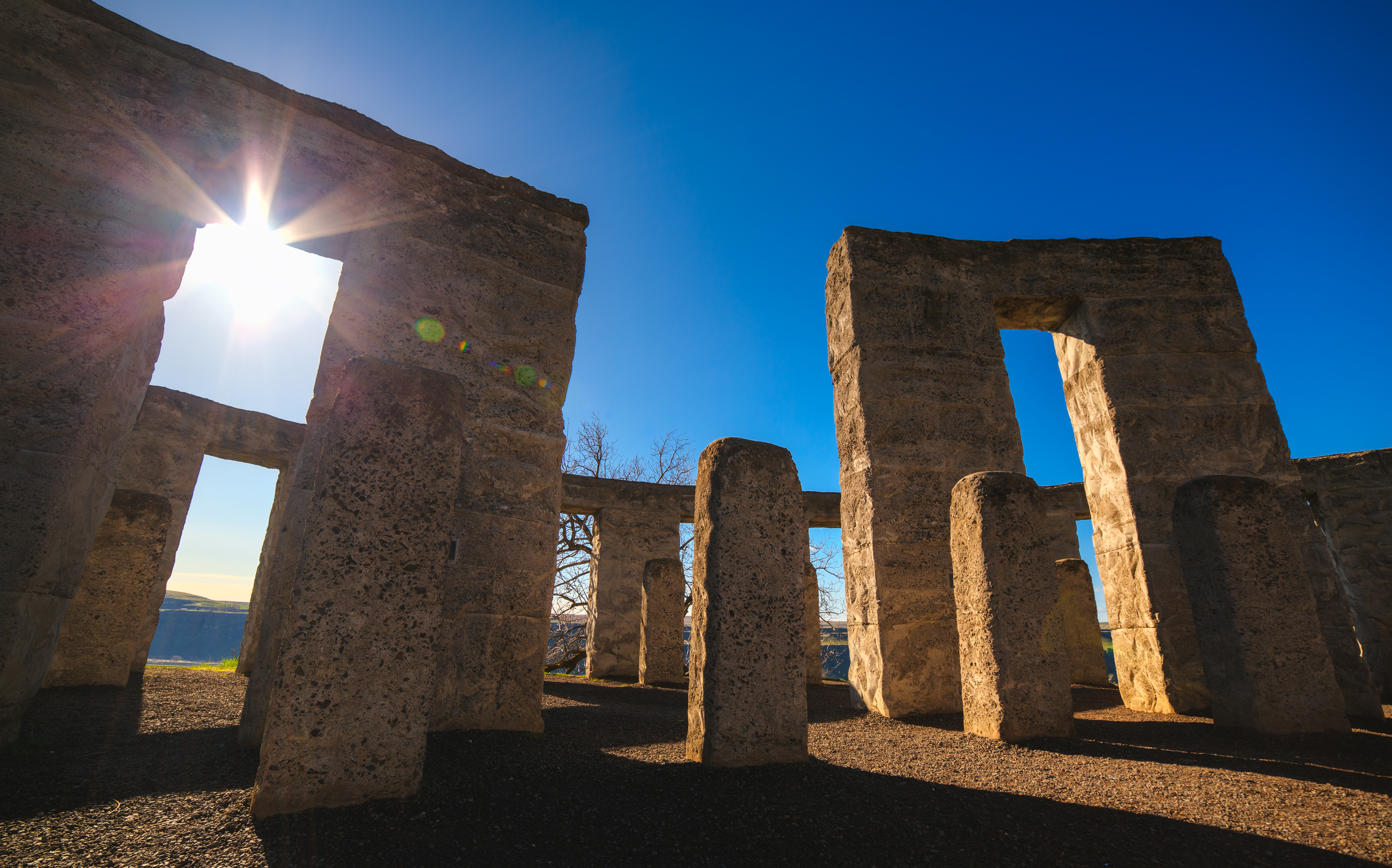
Stonehenge?

Stone Clock

Maryhill-Columbus Cemetery
Ring of Standing Stones
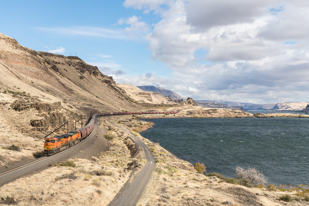
Horsethief Park, WA - BNSF

Bottoms up!
Warbonnets on the Q
Who will be Queen of the Mountain?

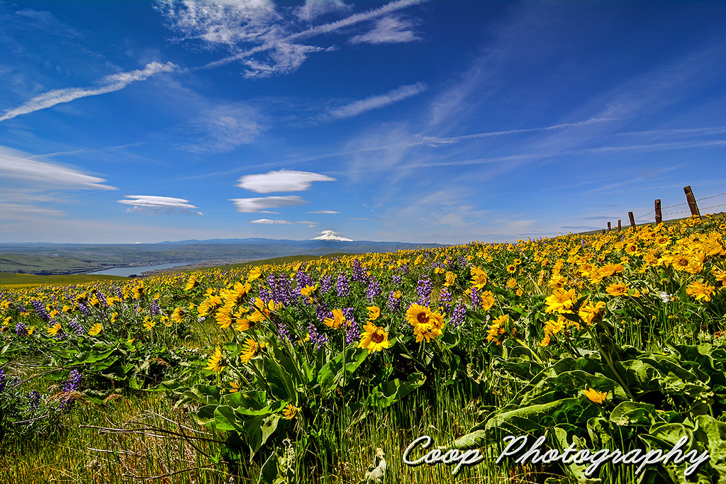
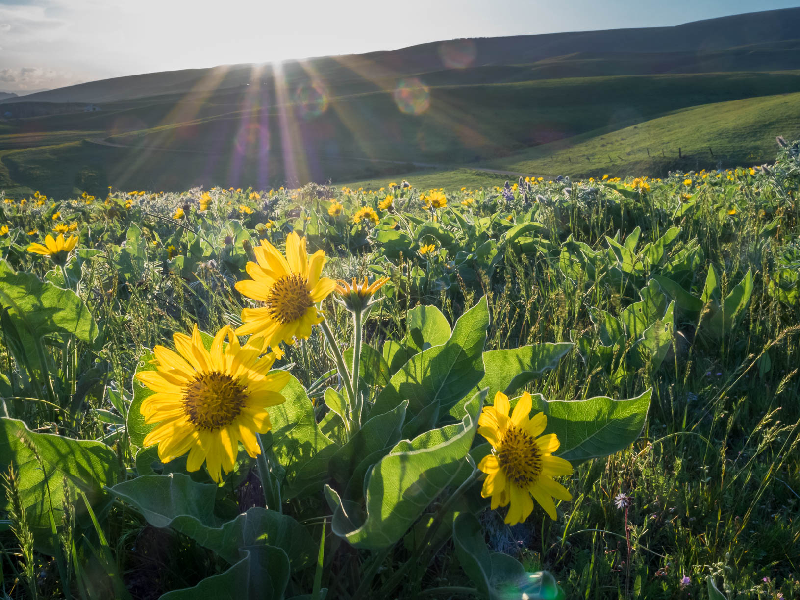
Springtime Bloom
Photo by @micheallee992 just trying to get a better view
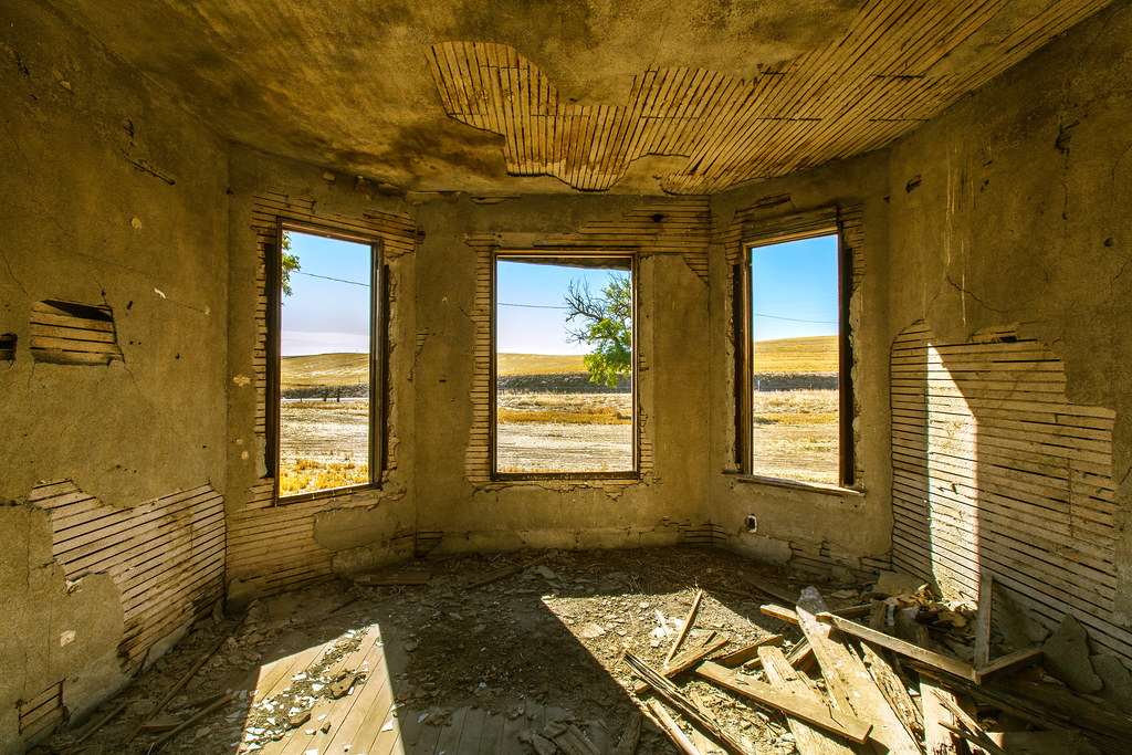
Bay Windows

Perseids at Maryhill Stonehenge
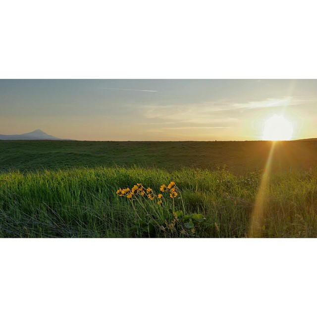
Current view #dallesmountainranch #wildflowers #weekendadventures #hiking #jj_washington #washingtonexplored #wander_washington #ColumbiaGorge #cascadiaexplored #instapdx #igers_portland #mthood #omht #mthoodterritory #sunset
Flowery Carpet
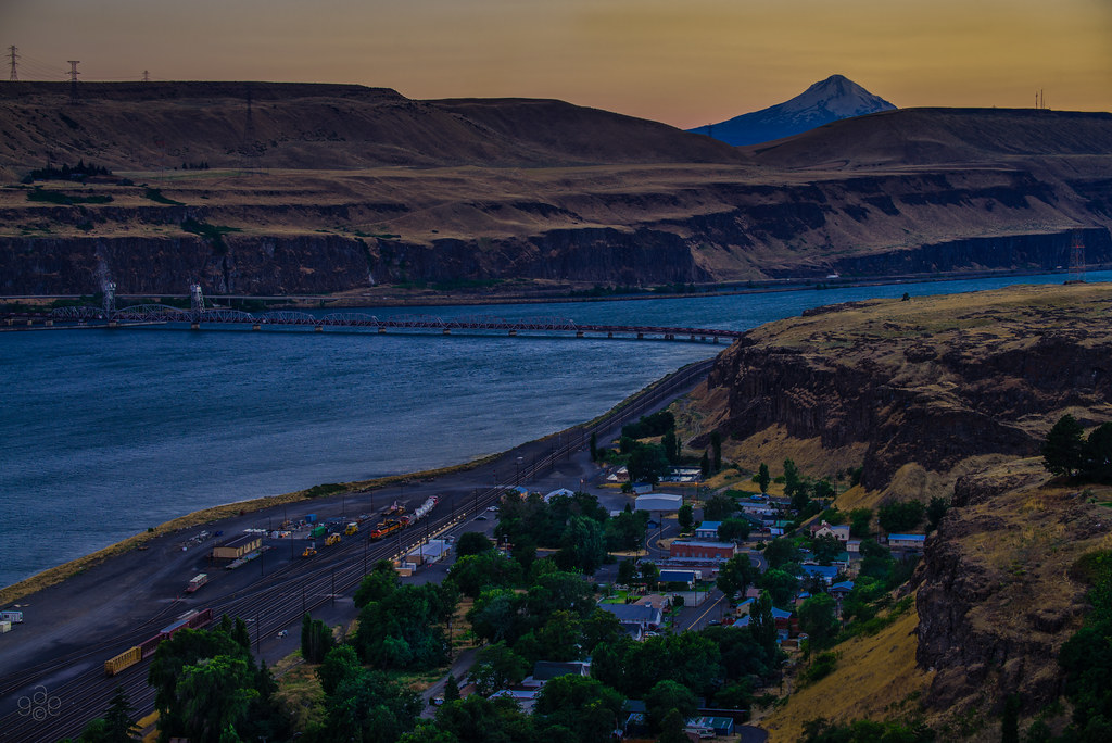
Twilight comes to Wishram
Old West
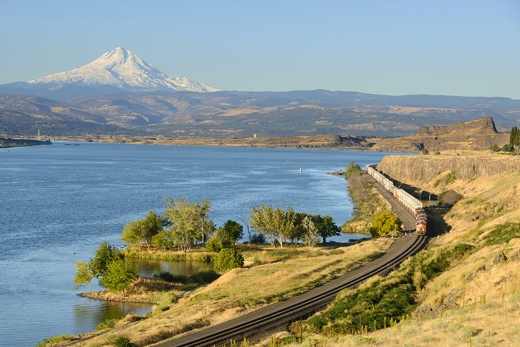
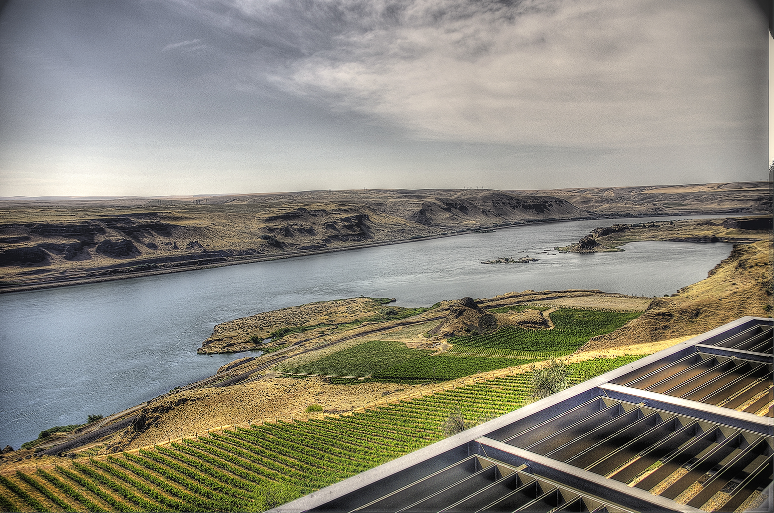
Columbia River Grainer
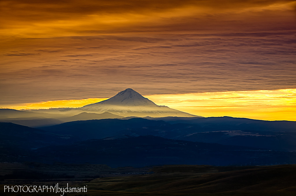
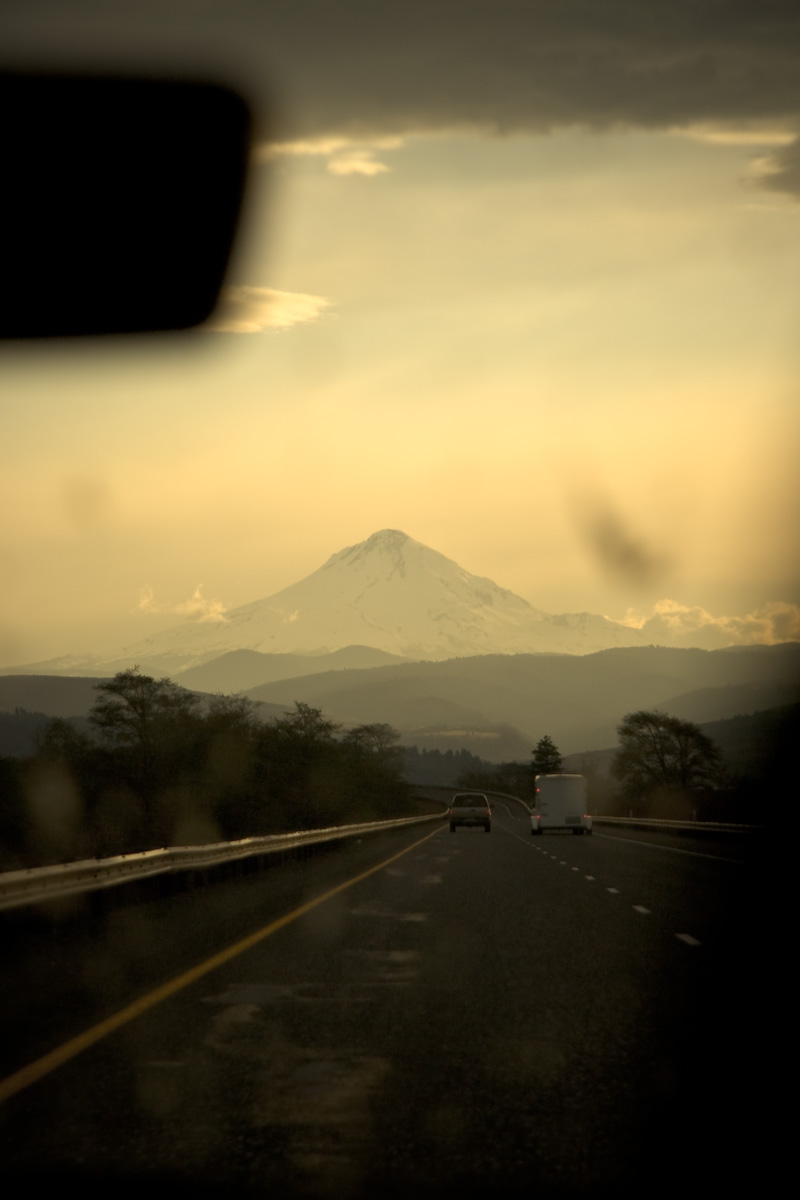
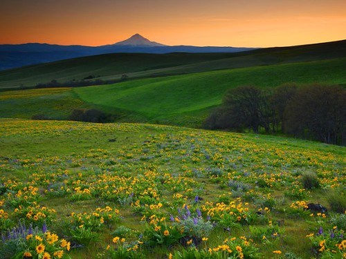
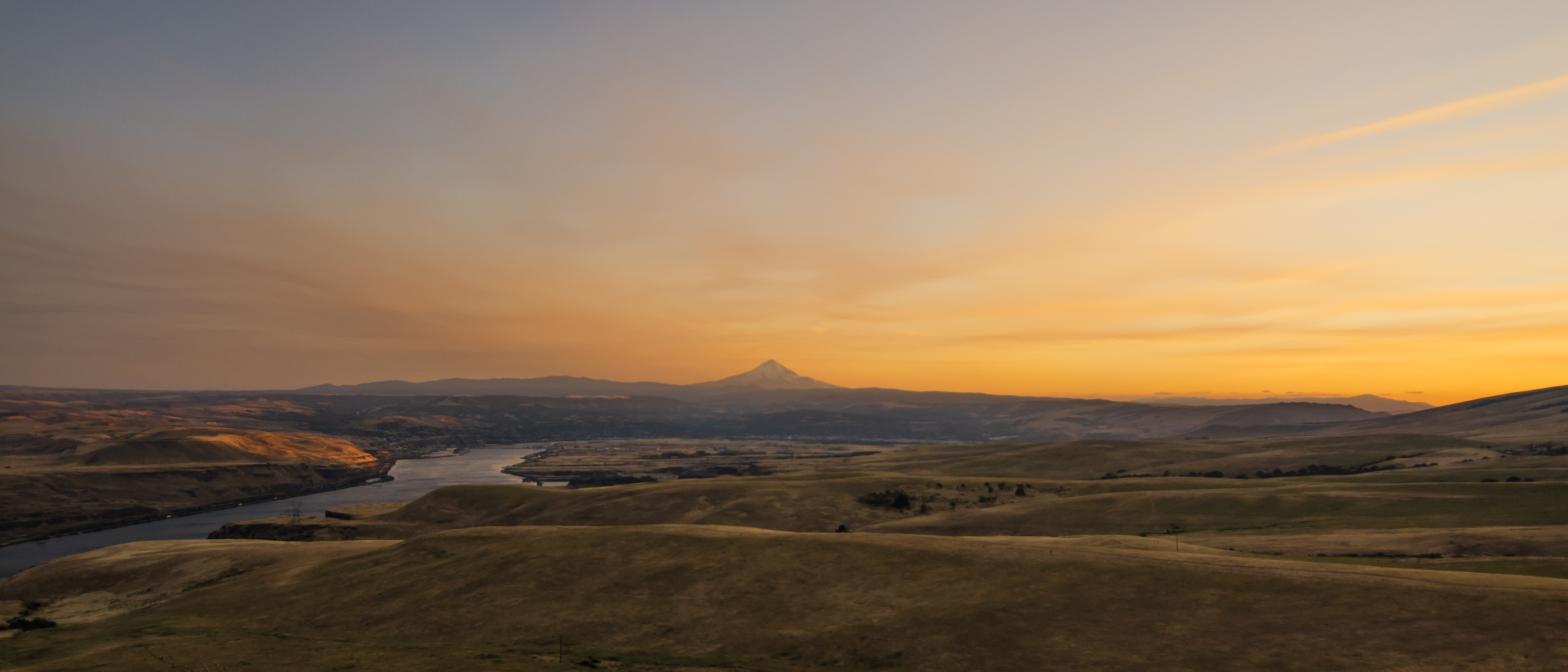
MT HOOD SUNSET

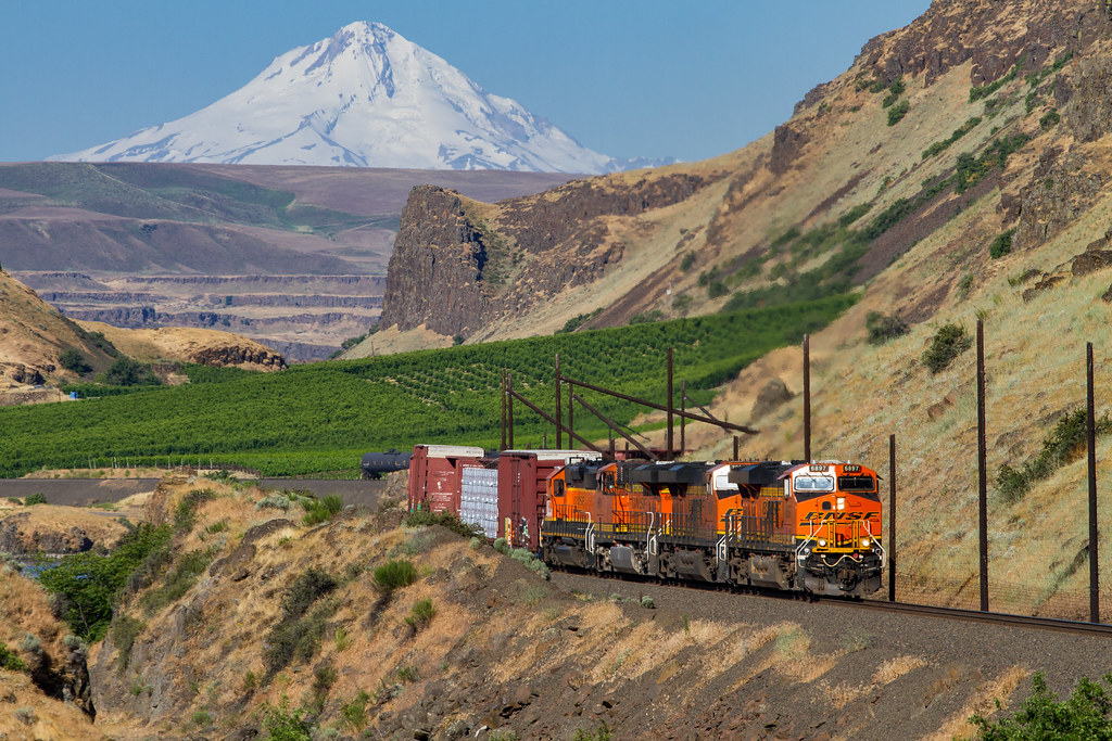
Climbing The Grade At Moody
BNSF 8104 + 6901 + 7336 + 7013 + 6557, Avery, Washington, USA, 26.09.2017
Columbia Hills, Washington

Deschutes River hike 1/18-1/19 2014
Old Shed, Dalles Mountain Road, Washington, 2014
A don't-want-to-go-anywhere Sunday.
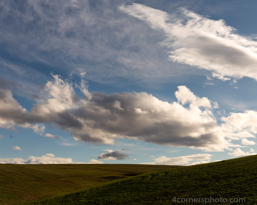
Spring Clouds and Hills, Wasco, OR

10.15.17.

The Lone Tree
20170311_145533-01
P4180049.jpg
2012-08-07__IMG9481_2_3

1998-09-17 1145 BN 6786 Maryhill, WA
201707-RaleighInvasionDay1-Full-53
Topographic Map of Deschutes River State Recreation Area, Wasco, OR, USA
Find elevation by address:

Places near Deschutes River State Recreation Area, Wasco, OR, USA:
Biggs Junction
Centerville
69 Van Hoy Rd
4 Bailey Loop Dr
35 Cole Mountain Loop
Rufus
Clark St, Wasco, OR, USA
Wasco
Moro
Goldendale
115 W Court St
Sherman County
185 Pine Forest Rd
Barnum Ln, Grass Valley, OR, USA
2 Sara View Dr
Grass Valley
284 Rimrock Rd
1595 Us-97
552 Pine Forest Rd
274 Rimrock Rd
Recent Searches:
- Elevation of Beall Road, Beall Rd, Florida, USA
- Elevation of Leguwa, Nepal
- Elevation of County Rd, Enterprise, AL, USA
- Elevation of Kolchuginsky District, Vladimir Oblast, Russia
- Elevation of Shustino, Vladimir Oblast, Russia
- Elevation of Lampiasi St, Sarasota, FL, USA
- Elevation of Elwyn Dr, Roanoke Rapids, NC, USA
- Elevation of Congressional Dr, Stevensville, MD, USA
- Elevation of Bellview Rd, McLean, VA, USA
- Elevation of Stage Island Rd, Chatham, MA, USA