Elevation of Dermott, TX, USA
Location: United States > Texas > Scurry County >
Longitude: -100.93549
Latitude: 32.9127679
Elevation: 759m / 2490feet
Barometric Pressure: 93KPa
Elevation Map:
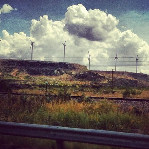
Satellite Map:
Related Photos:


IMG_6881

Central Texas Moonrise

West Texas

To Post

Safety Is Paramount

Up The Windmill
#wind #farm #west #texas

Cowboys like us...

MInna and the Windmills

This Must be where they make Wind... See the Fans!

Which Way do I go?
Topographic Map of Dermott, TX, USA
Find elevation by address:

Places near Dermott, TX, USA:
1003 Avenue E
Snyder
3006 Crockett Ave
Fluvanna
Scurry County
US-84, Justiceburg, TX, USA
Justiceburg
Hermleigh
Ira
Kent County
Rotan, TX, USA
Rotan
596 County Rd 310
Jayton
E 2nd St, Colorado City, TX, USA
Colorado City
Loraine
Westbrook
Roby
Fisher County
Recent Searches:
- Elevation of East W.T. Harris Boulevard, E W.T. Harris Blvd, Charlotte, NC, USA
- Elevation of West Sugar Creek, Charlotte, NC, USA
- Elevation of Wayland, NY, USA
- Elevation of Steadfast Ct, Daphne, AL, USA
- Elevation of Lagasgasan, X+CQH, Tiaong, Quezon, Philippines
- Elevation of Rojo Ct, Atascadero, CA, USA
- Elevation of Flagstaff Drive, Flagstaff Dr, North Carolina, USA
- Elevation of Avery Ln, Lakeland, FL, USA
- Elevation of Woolwine, VA, USA
- Elevation of Lumagwas Diversified Farmers Multi-Purpose Cooperative, Lumagwas, Adtuyon, RV32+MH7, Pangantucan, Bukidnon, Philippines