Elevation of Denny's Store Rd, Roxboro, NC, USA
Location: United States > North Carolina > Person County >
Longitude: -78.821236
Latitude: 36.3832
Elevation: 174m / 571feet
Barometric Pressure: 99KPa
Elevation Map:
Satellite Map:
Related Photos:
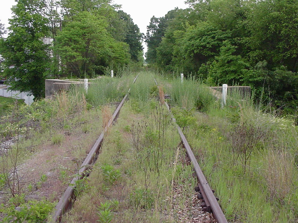
Norfolk and Western Durham and Roxboro Lynchburg and Durham Railroad
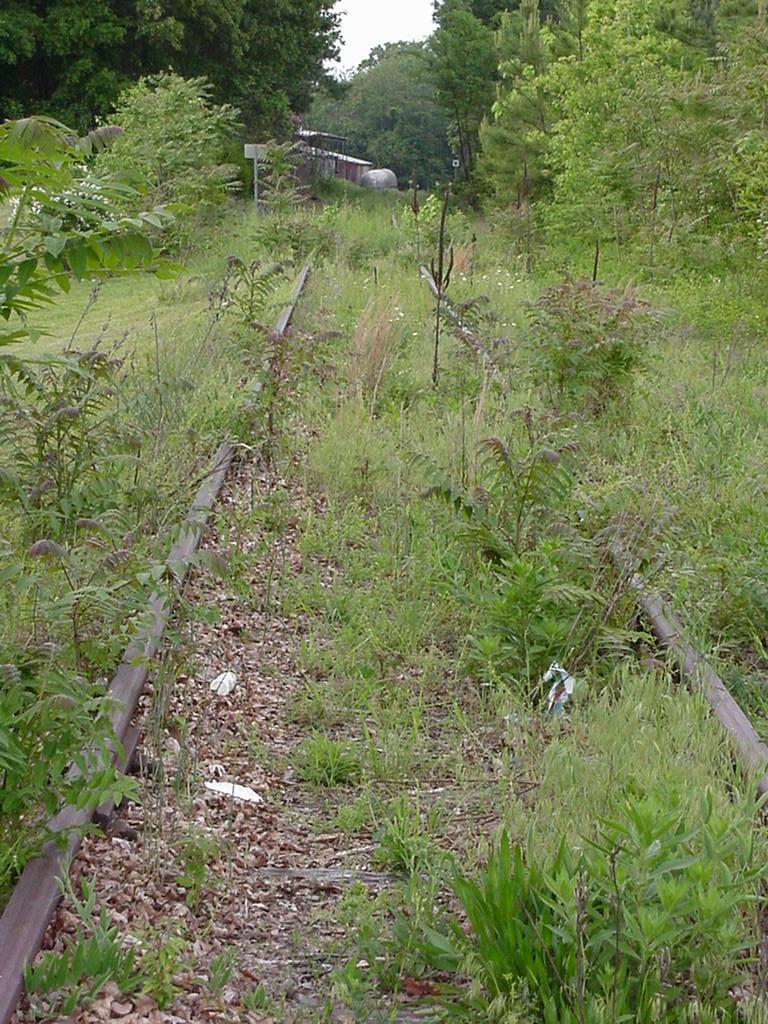
Norfolk and Western Durham and Roxboro Lynchburg and Durham Railroad
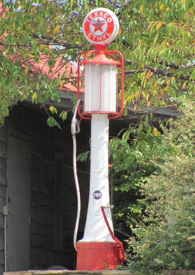
Texaco Visible Gas Pump
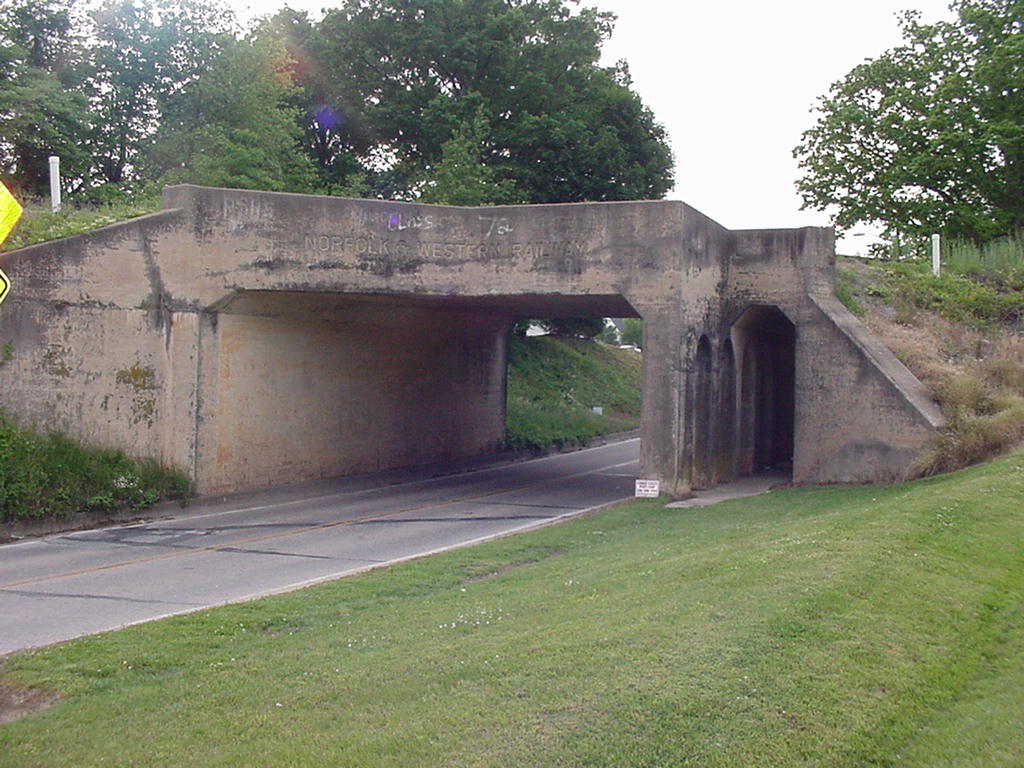
Norfolk and Western Durham and Roxboro Lynchburg and Durham Railroad
A Lot of Cars

after sunset

That RoadIMG_1140

Rancho Cost-a-plenty

to vermont

Rancho Cost-a-plenty

in his lair
Topographic Map of Denny's Store Rd, Roxboro, NC, USA
Find elevation by address:

Places near Denny's Store Rd, Roxboro, NC, USA:
3332 Mt Harmony Church Rd
Mount Tirzah
Person County
Helena-Moriah Rd, Timberlake, NC, USA
232 Adams Farm Rd
Jim Moore Drive
737 Allensville Rd
423 Smith Rd
311 Allensville Rd
690 Smith Rd
Old Durham Rd, Roxboro, NC, USA
Timberlake
Hampton
Roxboro
Flat River
166 Dustin Ln
510 Willie Gray Rd
1548 Holeman Ashley Rd
Hurdle Mills
Bushy Fork
Recent Searches:
- Elevation of Luther Road, Luther Rd, Auburn, CA, USA
- Elevation of Unnamed Road, Respublika Severnaya Osetiya — Alaniya, Russia
- Elevation of Verkhny Fiagdon, North Ossetia–Alania Republic, Russia
- Elevation of F. Viola Hiway, San Rafael, Bulacan, Philippines
- Elevation of Herbage Dr, Gulfport, MS, USA
- Elevation of Lilac Cir, Haldimand, ON N3W 2G9, Canada
- Elevation of Harrod Branch Road, Harrod Branch Rd, Kentucky, USA
- Elevation of Wyndham Grand Barbados Sam Lords Castle All Inclusive Resort, End of Belair Road, Long Bay, Bridgetown Barbados
- Elevation of Iga Trl, Maggie Valley, NC, USA
- Elevation of N Co Rd 31D, Loveland, CO, USA