Elevation of Dennard Church, Dennard, AR, USA
Location: United States > Arkansas > Van Buren County > Washington Township > Dennard >
Longitude: -92.521359
Latitude: 35.7656832
Elevation: 455m / 1493feet
Barometric Pressure: 96KPa
Elevation Map:
Satellite Map:
Related Photos:

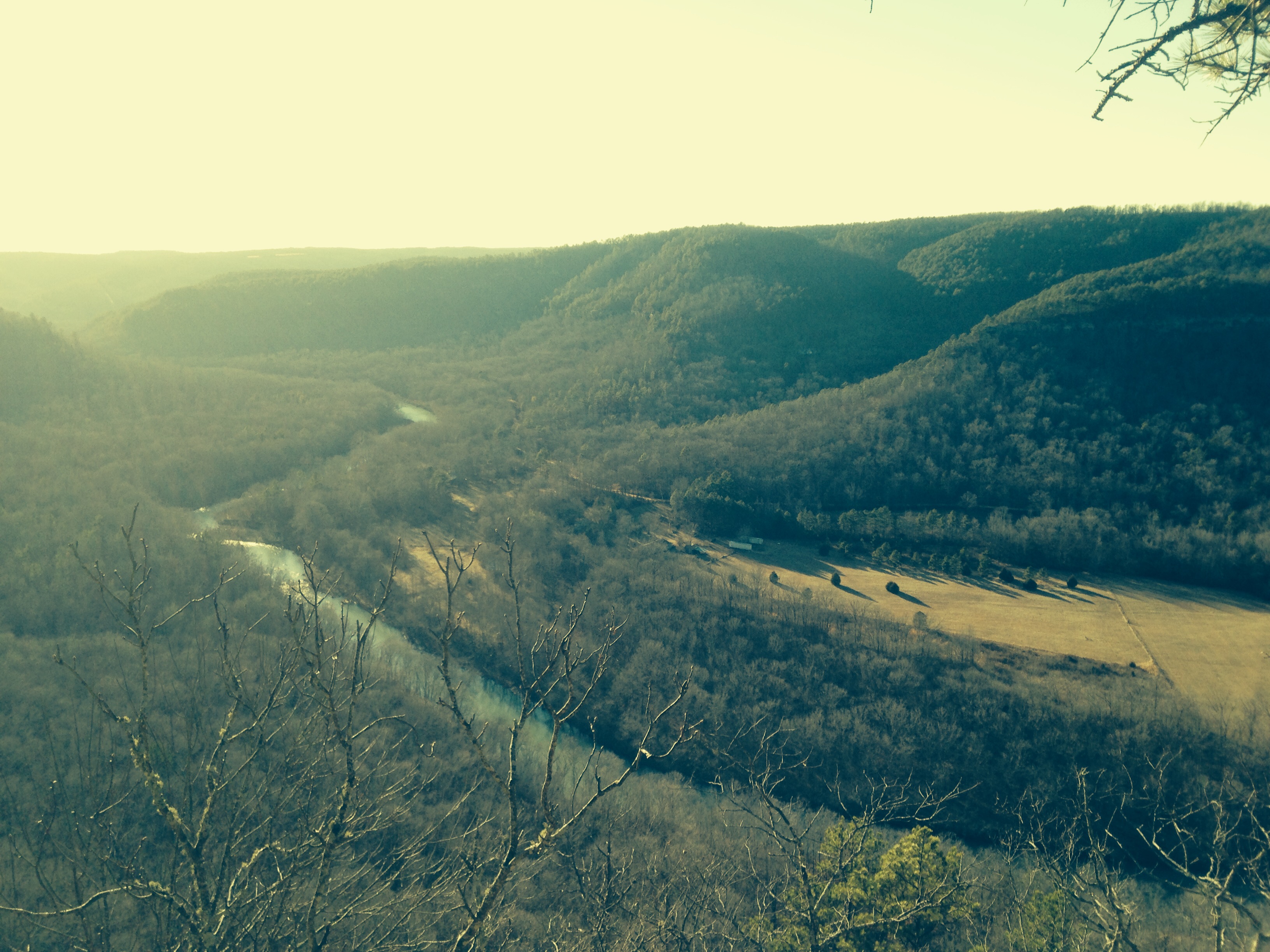
Long distance view upstream

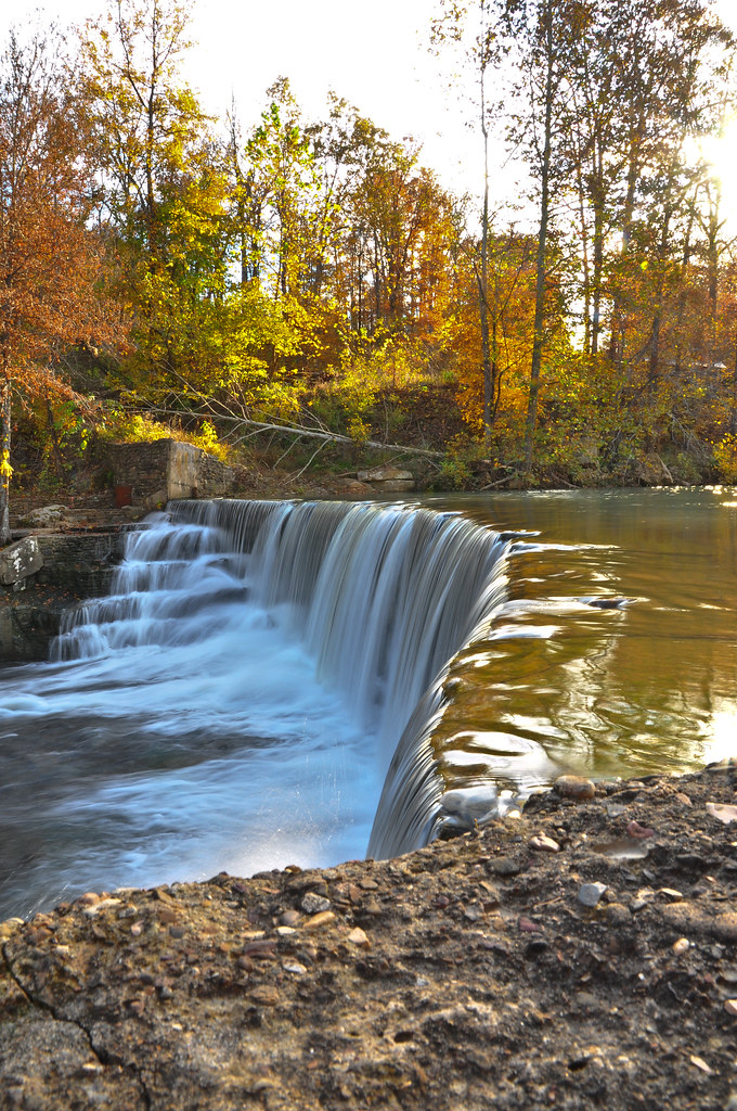
Fall is almost over here
Little Waterfall between Clinton and Leslie

Leslie's waterfall

A Cabin Among Woods

Natural Bridge, Clinton, AR
Mount Eagle

Ah, spring!
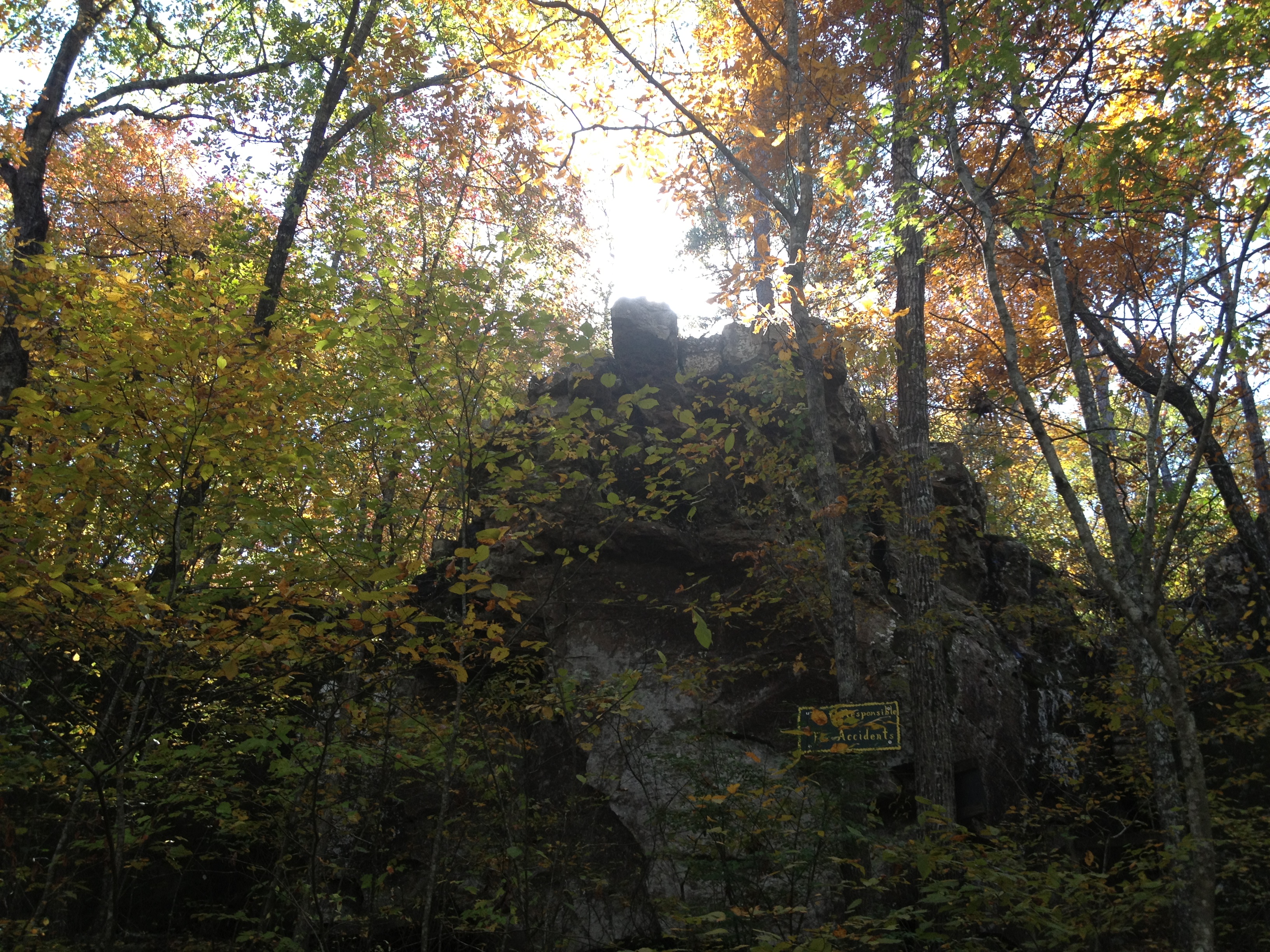
Natural Bridge
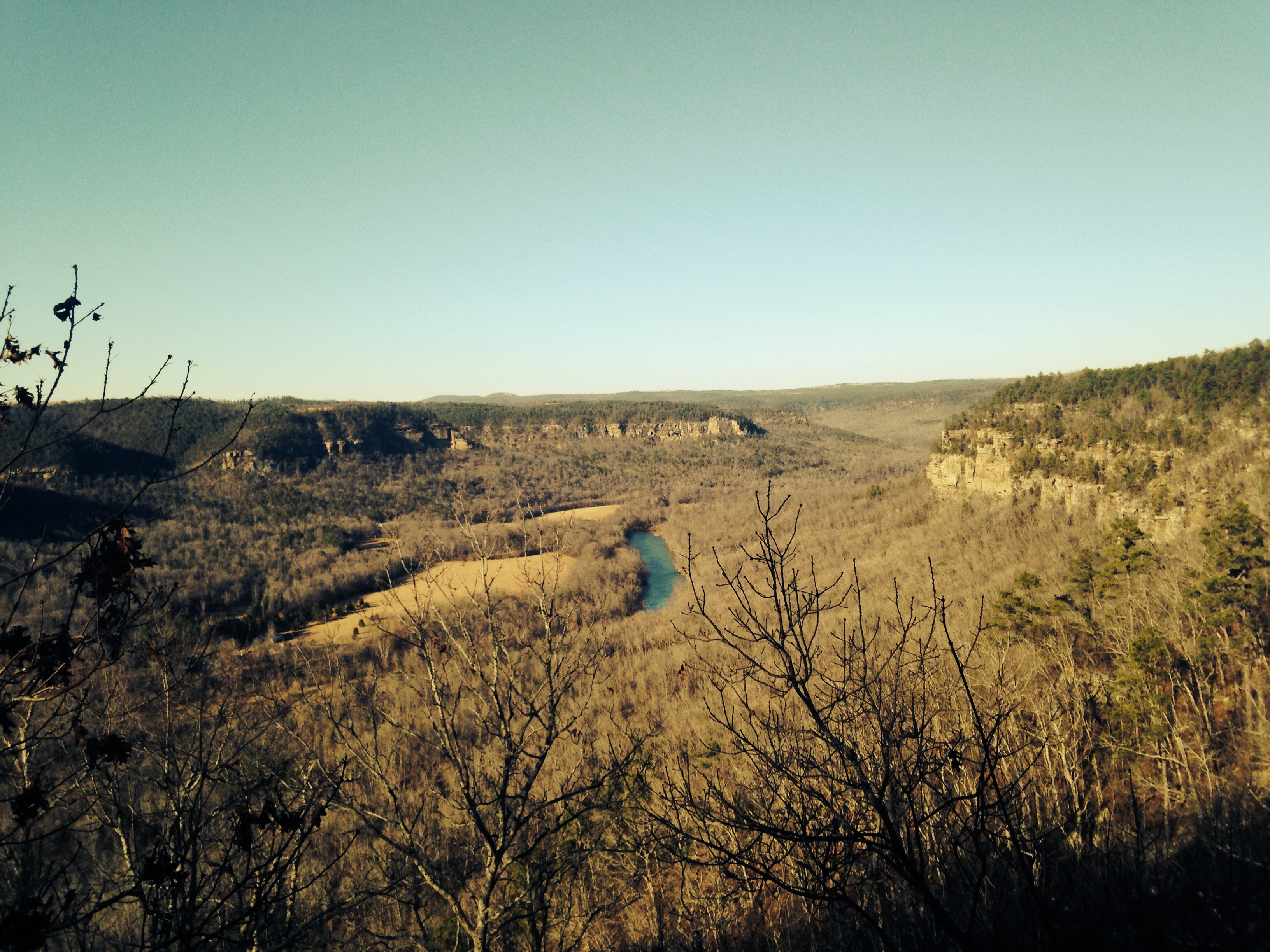
Mount Eagle
Topographic Map of Dennard Church, Dennard, AR, USA
Find elevation by address:

Places near Dennard Church, Dennard, AR, USA:
Dennard
Archer Rd N, Dennard, AR, USA
12400 Us-65
Washington Township
247 Panther Rd
Ar Hwy E, Dennard, AR, USA
1243 4 Winds Ln
833 4 Winds Ln
379 4 Winds Ln
379 4 Winds Ln
3278 Ar-110
12400 Ar 65 Hwy N
Leslie
Arkansas 66 & Oak Street
US-65, Leslie, AR, USA
Housley Loop, Leslie, AR, USA
Honeysuckle Lane
Ar Hwy W, Leslie, AR, USA
Archey Valley Township
Welcome Home
Recent Searches:
- Elevation of Sattva Horizon, 4JC6+G9P, Vinayak Nagar, Kattigenahalli, Bengaluru, Karnataka, India
- Elevation of Great Brook Sports, Gold Star Hwy, Groton, CT, USA
- Elevation of 10 Mountain Laurels Dr, Nashua, NH, USA
- Elevation of 16 Gilboa Ln, Nashua, NH, USA
- Elevation of Laurel Rd, Townsend, TN, USA
- Elevation of 3 Nestling Wood Dr, Long Valley, NJ, USA
- Elevation of Ilungu, Tanzania
- Elevation of Yellow Springs Road, Yellow Springs Rd, Chester Springs, PA, USA
- Elevation of Rēzekne Municipality, Latvia
- Elevation of Plikpūrmaļi, Vērēmi Parish, Rēzekne Municipality, LV-, Latvia