Elevation of Demangevelle, France
Location: France > Bourgogne-franche-comté > Haute-saône >
Longitude: 6.034655
Latitude: 47.927097
Elevation: -10000m / -32808feet
Barometric Pressure: 295KPa
Elevation Map:
Satellite Map:
Related Photos:

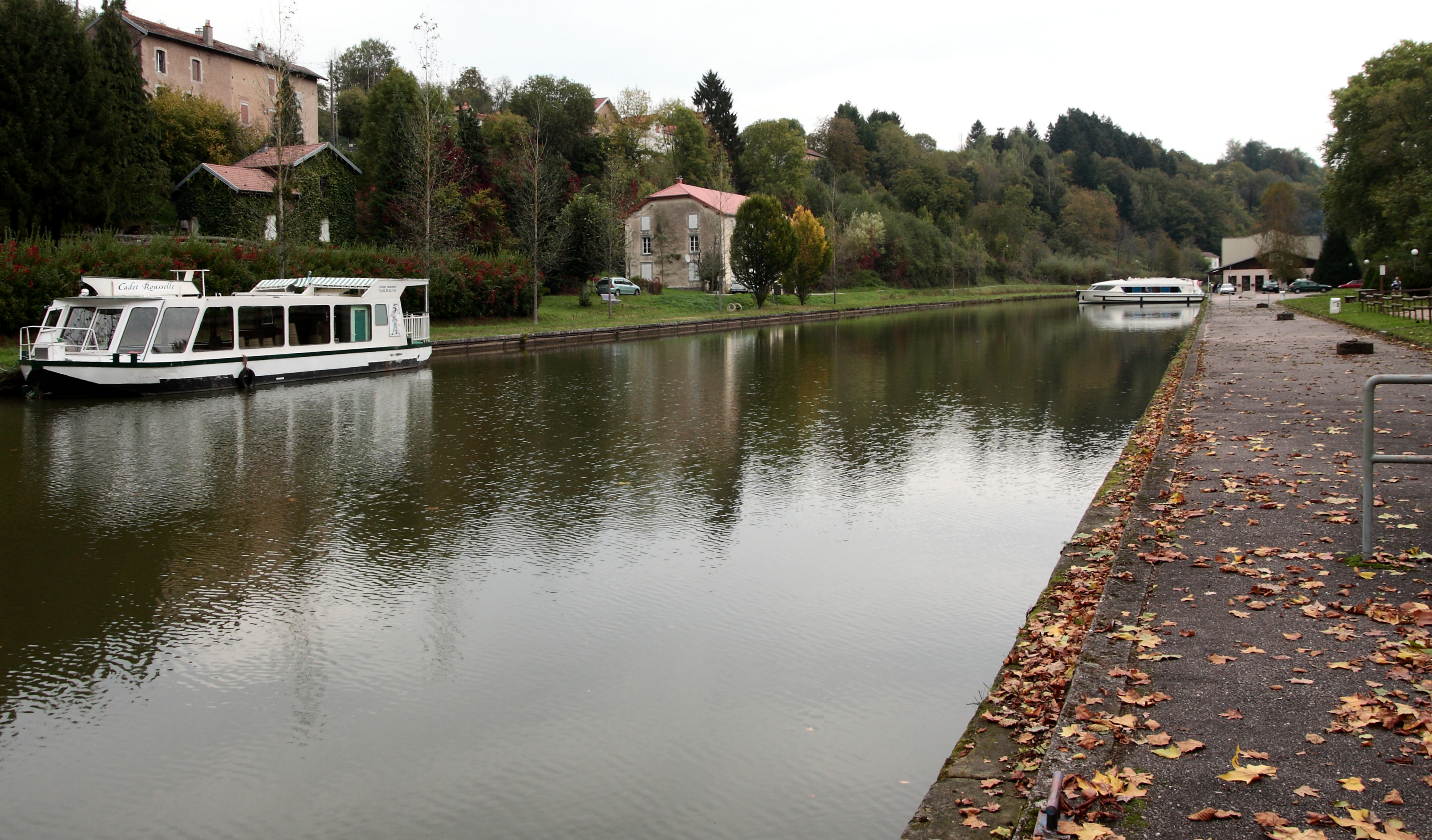
towpath between Canal des Vosges en Le Coney

Raincourt from the sidewalk

Chateau Bourgoin

Highest peak in Raincourt
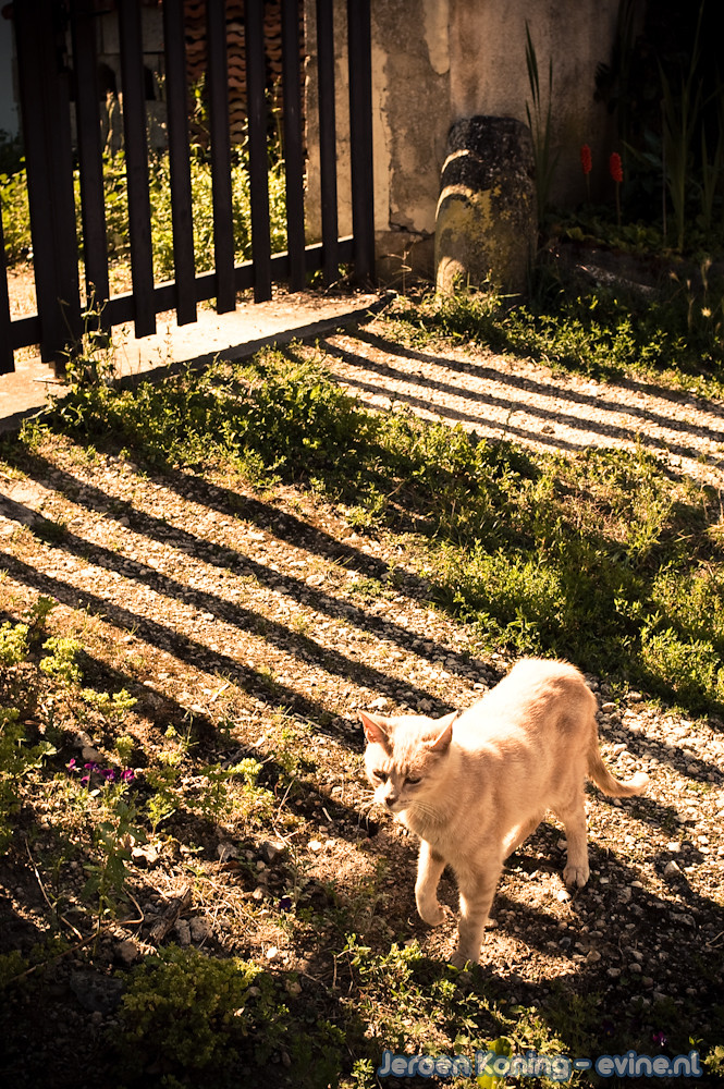
Shadowed cat

Under the Oak

Along a canal

Haute Saone, France

???????? IC 1640 @ Montureux-lès-Baulay

Road to nowhere

Haute Saône, France - Rapeseed fields

Haute Saone, France

La Saone dans les Vosges

???????? IC 1842 @ Montureux-lès-Baulay

???????? SNCF CC 72166 + Intercités 1844 te Montureux lès Baulay

Desserte de Port d'atelier de passage sur la Saône.

Blue hole

Dawn with moon

Canal des Vosges
Le port de Fontenoy (1)

Vue aérienne d'un petit village de Haute Saone

Scey-sur-Saône, Hausbootferien 2013

Scey-sur-Saône, Hausbootferien 2013
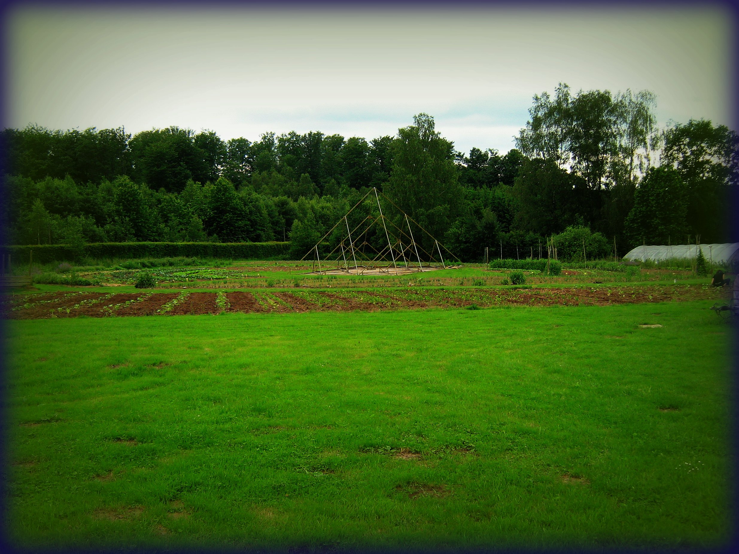
ECOlonie: vegetable garden

Étang

Étang
Topographic Map of Demangevelle, France
Find elevation by address:

Places near Demangevelle, France:
1 Rue Jean Monasson, Corre, France
3b
Martinvelle
Claudon
1 Route de Droiteval, Claudon, France
Fresnes-sur-apance
3 Rue des Halles, Fresnes-sur-Apance, France
Marey
11 Rue de la Joie, Marey, France
Dommartin-lès-vallois
Rue Saint-Martin, Dommartin-lès-Vallois, France
81 Rue Grande Rue, Valfroicourt, France
Valfroicourt
Bourbonne-les-bains
Le Clerjus
8 Rue Ziwer Pacha, Contrexéville, France
Vittel
Charmois-l'orgueilleux
Rue Grande Rue, Rancourt, France
Rancourt
Recent Searches:
- Elevation of Lumagwas Diversified Farmers Multi-Purpose Cooperative, Lumagwas, Adtuyon, RV32+MH7, Pangantucan, Bukidnon, Philippines
- Elevation of Homestead Ridge, New Braunfels, TX, USA
- Elevation of Orchard Road, Orchard Rd, Marlborough, NY, USA
- Elevation of 12 Hutchinson Woods Dr, Fletcher, NC, USA
- Elevation of Holloway Ave, San Francisco, CA, USA
- Elevation of Norfolk, NY, USA
- Elevation of - San Marcos Pass Rd, Santa Barbara, CA, USA
- Elevation of th Pl SE, Issaquah, WA, USA
- Elevation of 82- D Rd, Captain Cook, HI, USA
- Elevation of Harlow CM20 2PR, UK