Elevation of Delray Rd, Augusta, WV, USA
Location: United States > West Virginia > Hampshire County > Sherman >
Longitude: -78.572027
Latitude: 39.2360925
Elevation: 282m / 925feet
Barometric Pressure: 98KPa
Elevation Map:
Satellite Map:
Related Photos:

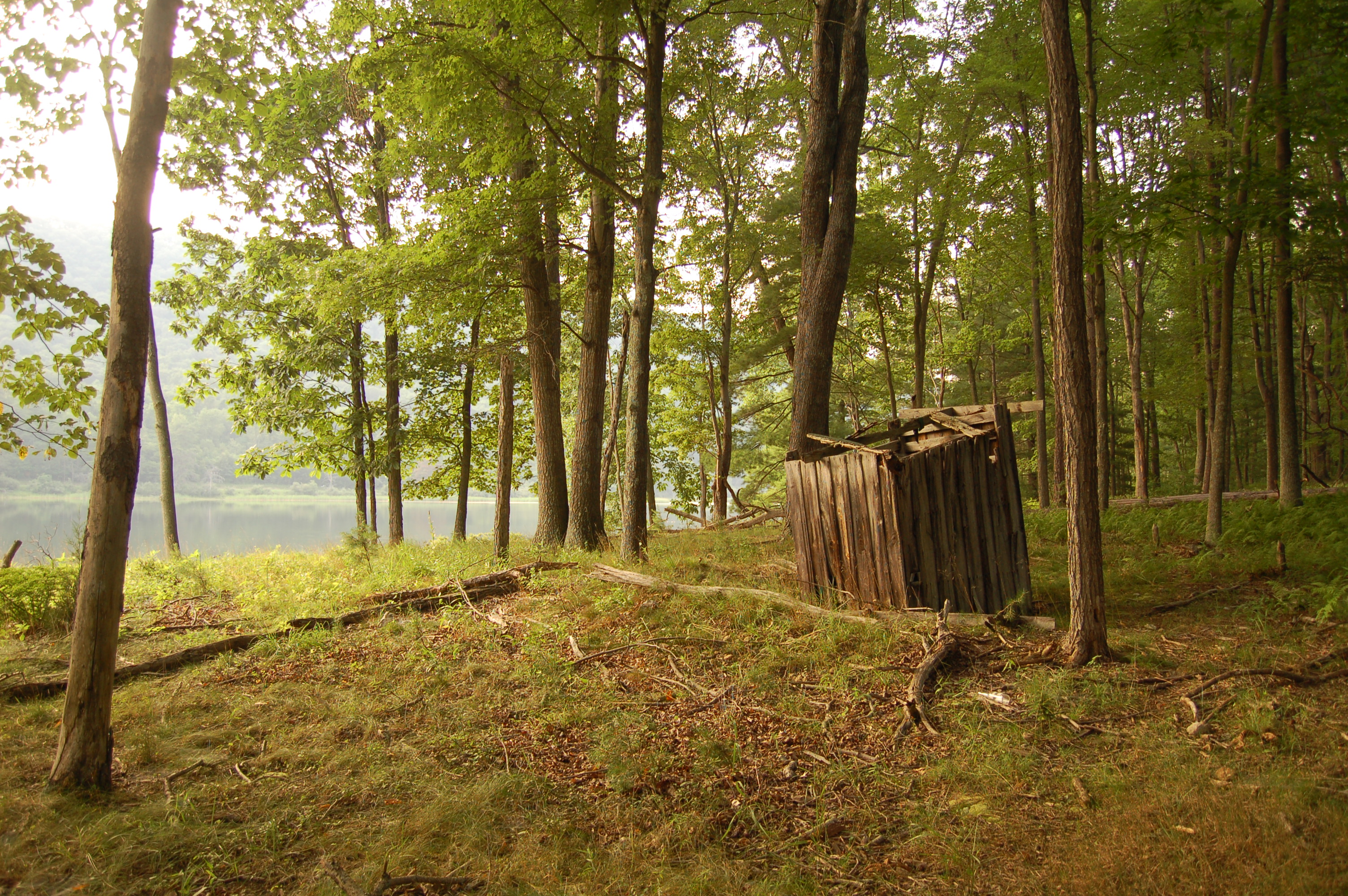
View from new Cabin

Taking in the view from the #frontporch of the #oldredstore in #caponsprings

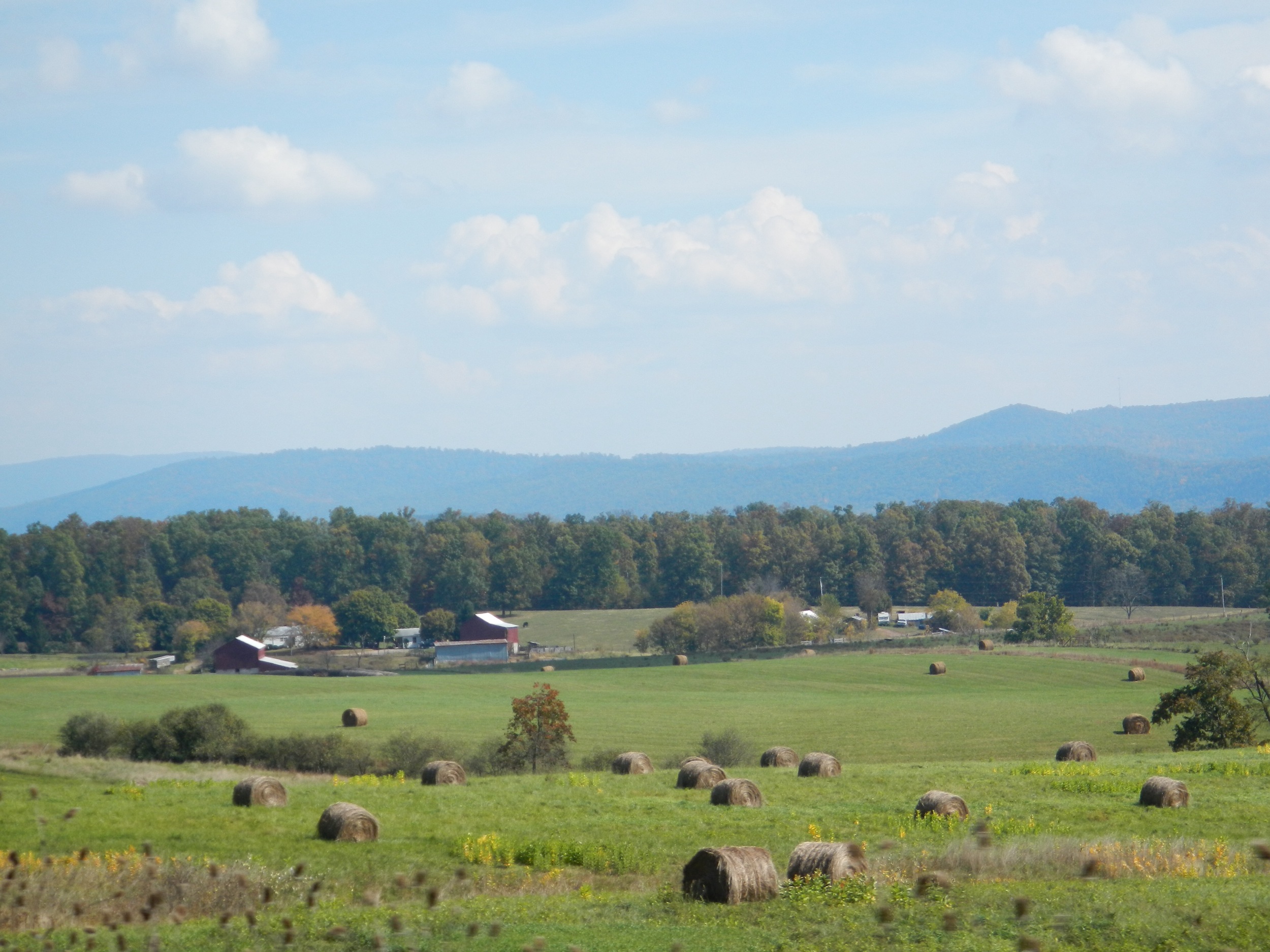
The #morning #panorama #view from the #cottage @ #caponsprings
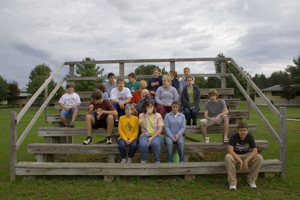
The Group - Not Ready Shot
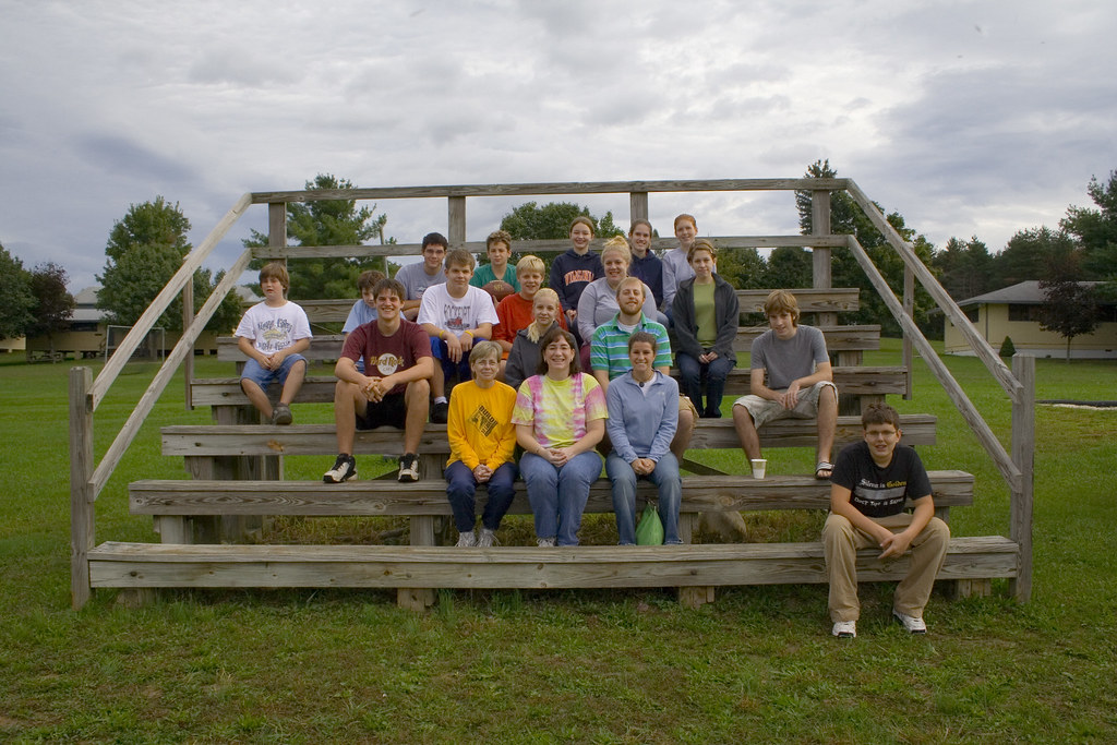
The Group - Real Shot

The Group - Funny Shot

Yellow #autumn #leaves along the sleepy #northforklittlecacaponriver #littlecacapon #littlecacaponriver #frenchburg #frenchburgwv #frenchburgwestvirginia #wv #westvirginia #wv_igers #autumn #fall #almostheaven #wildandwonderful #instanature #northwestern

#viewfromthetop #ravenrock #icemountain #northrivermillsday #northrivermills #almostheaven #wildandwonderful #westvirginia #wv_igers #scenicviews #hampshirecountywv

The peaceful #northriver meandering along the base of #icemountain #northrivermillsday #northrivermills #almostheaven #wildandwonderful #westvirginia #hampshirecountywv

35°F on a 75°F day! ❄️ #ice vents along the #algific #talus slopes of #icemountain #northrivermillsday #northrivermills #almostheaven #wildandwonderful #westvirginia (FYI that's a sheet of ice along the bottom of the ice vent)
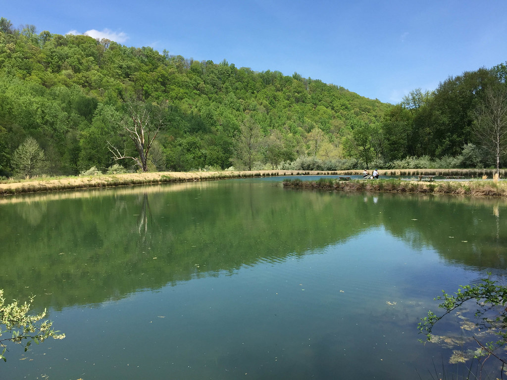
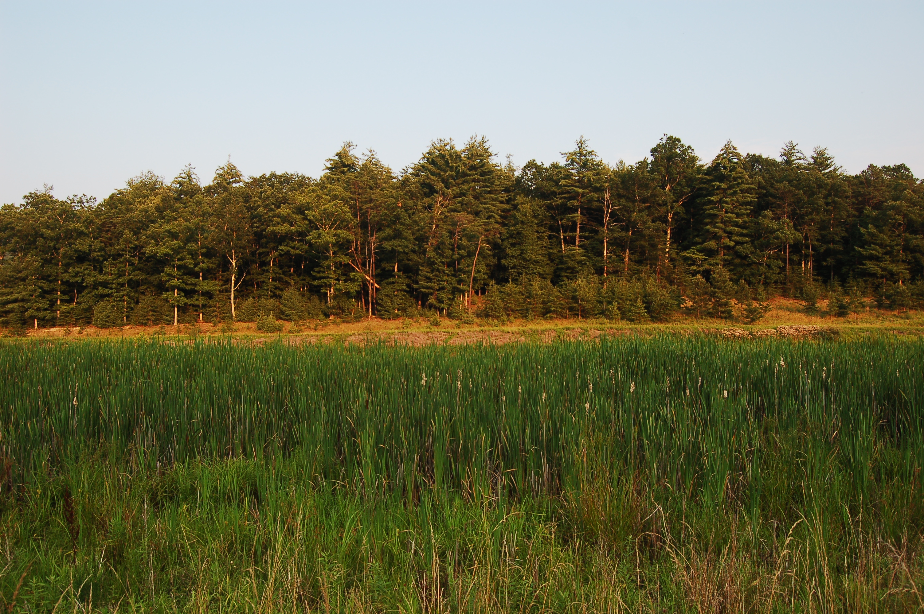
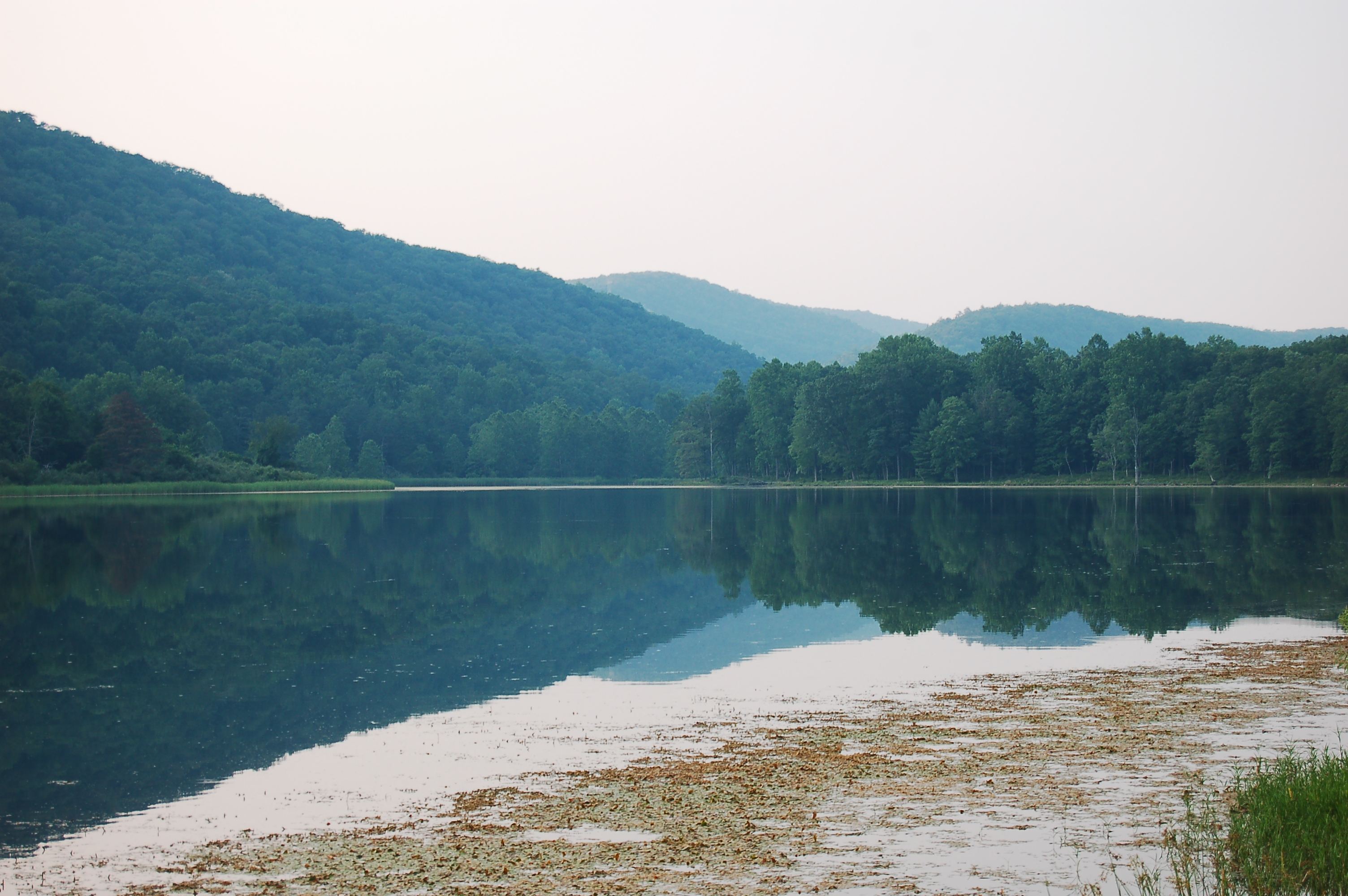
Edwards Run Wildlife Management Area
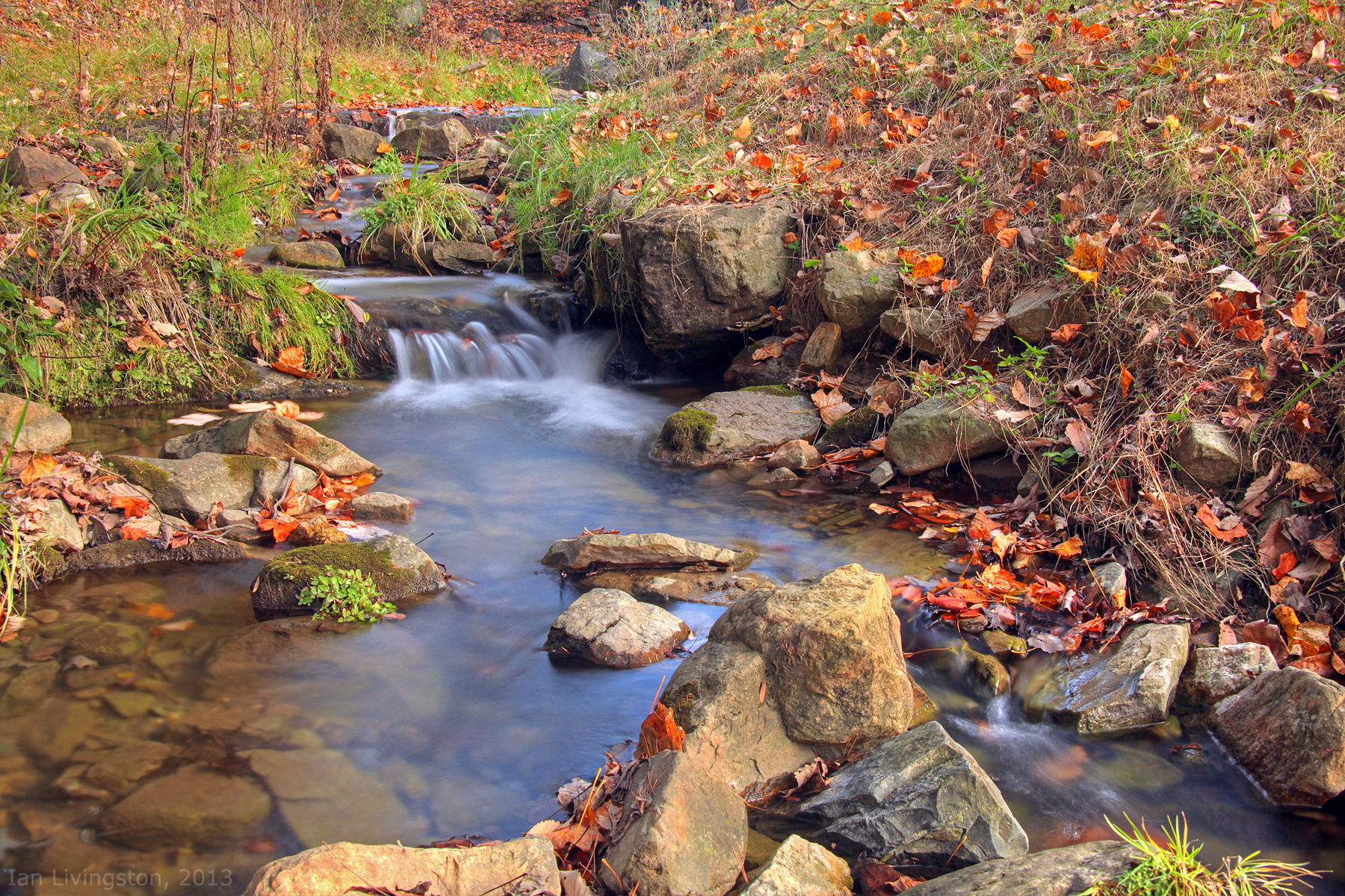
Fall at the creek within Capon Springs and Farms

Camera Roll-1037

Bridge 626-01
DSC_4383.JPG
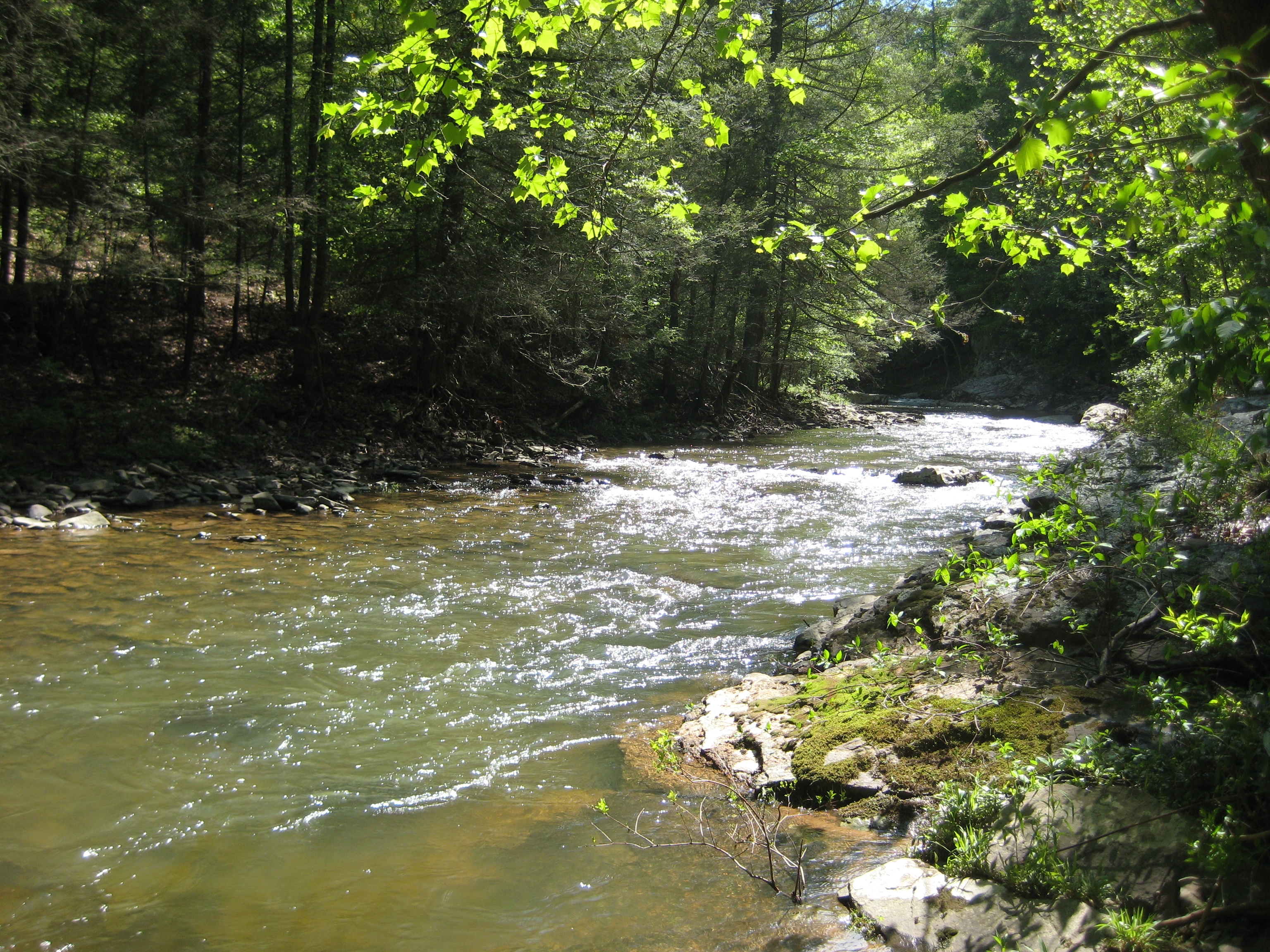
Tearcoat Creek
Camera Roll-1034
DSC_4418.JPG
Camera Roll-1036
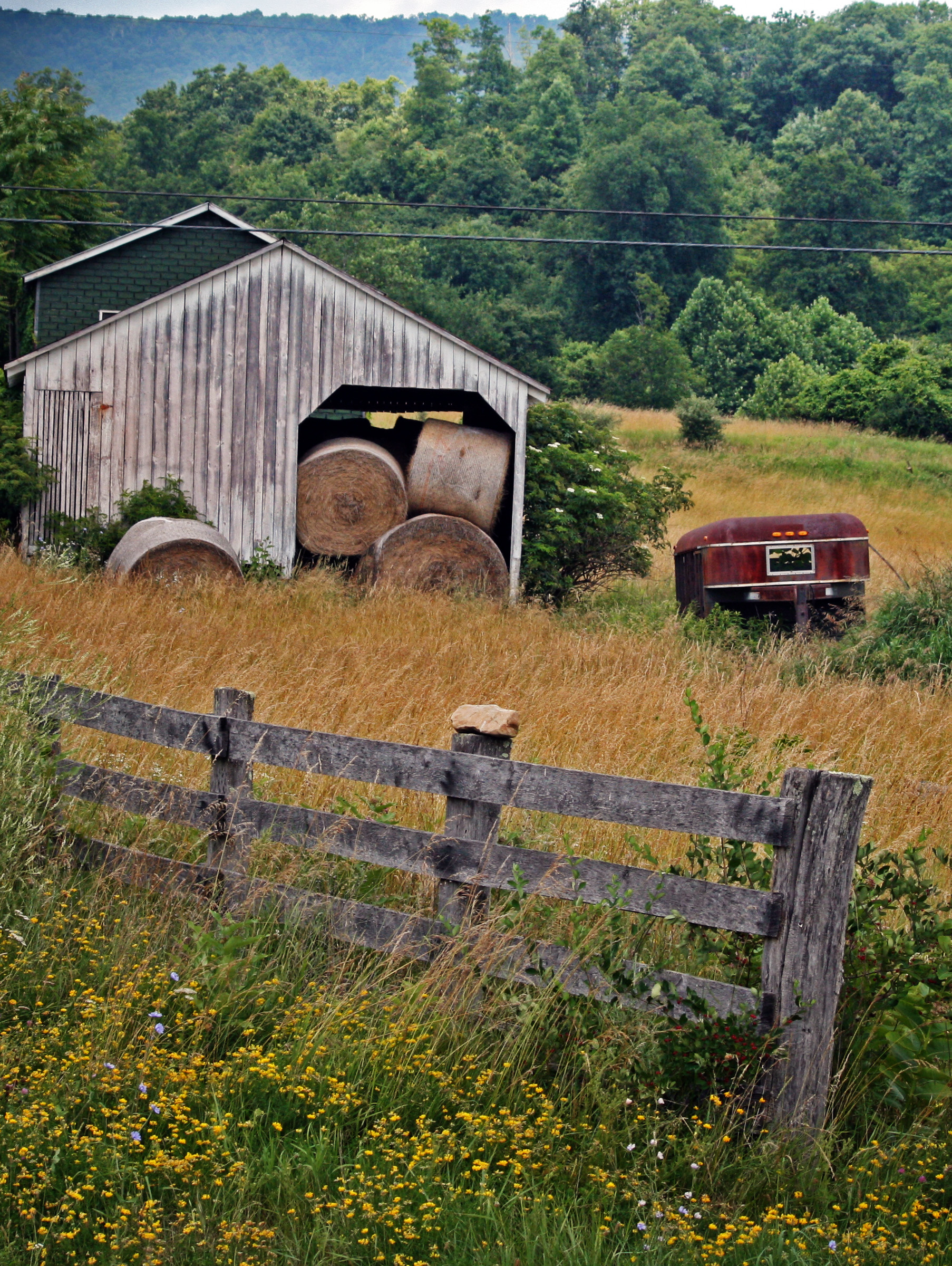
Hay Barn and Trailer
DSC_4409.JPG
DSC_4445.JPG
DSC01500 009 Hawk Campground sign
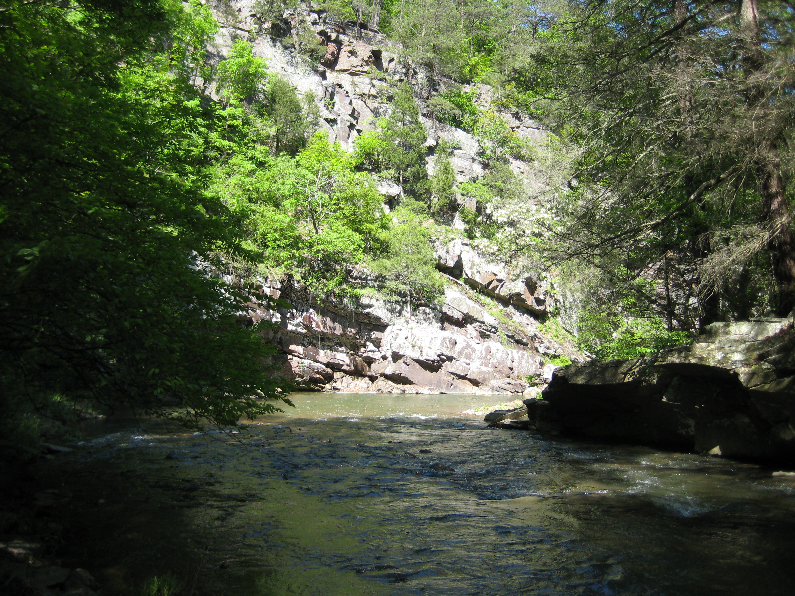
Tearcoat Creek

Bridge 626-05
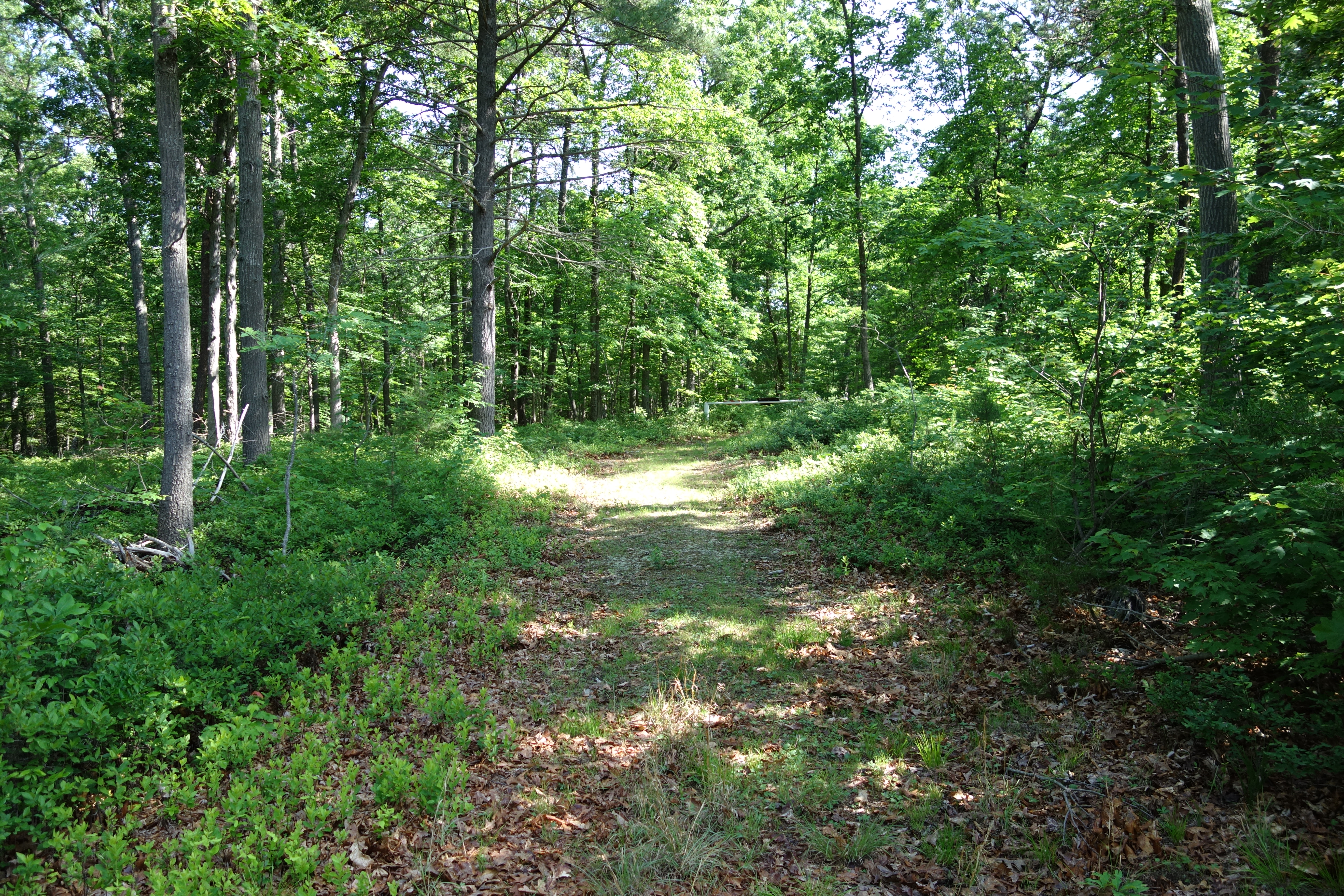
DSC01520 015 Lost Hunter Trail sign

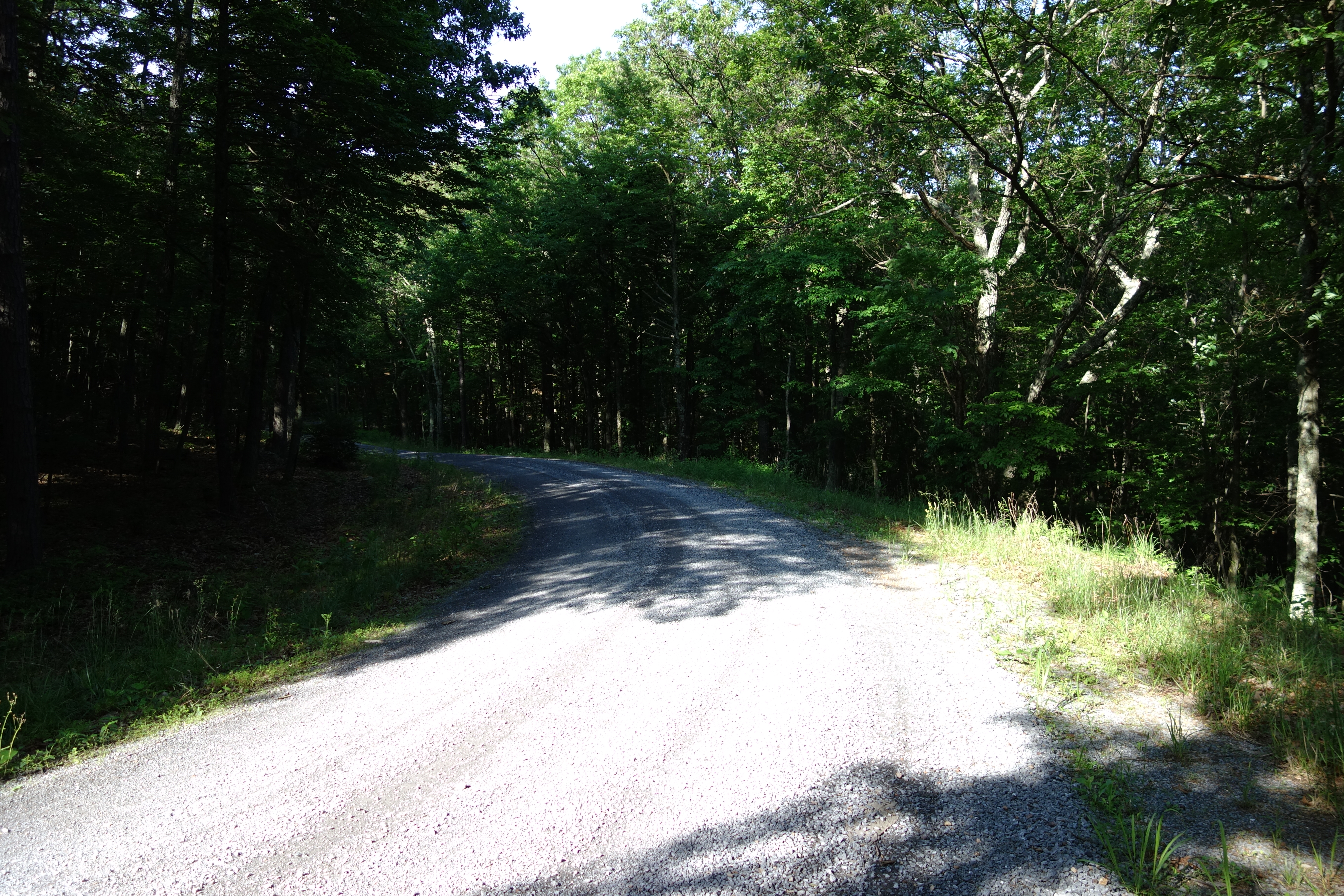
DSC01589 039 road gate along FR 502
Topographic Map of Delray Rd, Augusta, WV, USA
Find elevation by address:

Places near Delray Rd, Augusta, WV, USA:
281 Cedar Ridge Farm Dr
1730 Dunmore Ridge Rd
Hanging Rock
Strawberry Lane
397 E View Dr
397 E View Dr
Cooper Mountain
Coopers Run Road
North River Road
North River Road
1895 Becks Gap Rd
1895 Becks Gap Rd
1831 Becks Gap Rd
1831 Becks Gap Rd
1831 Becks Gap Rd
1831 Becks Gap Rd
128 Carson Dr
Augusta
783 Ritters Valley Dr
84 Ron's Dr
Recent Searches:
- Elevation of Corso Fratelli Cairoli, 35, Macerata MC, Italy
- Elevation of Tallevast Rd, Sarasota, FL, USA
- Elevation of 4th St E, Sonoma, CA, USA
- Elevation of Black Hollow Rd, Pennsdale, PA, USA
- Elevation of Oakland Ave, Williamsport, PA, USA
- Elevation of Pedrógão Grande, Portugal
- Elevation of Klee Dr, Martinsburg, WV, USA
- Elevation of Via Roma, Pieranica CR, Italy
- Elevation of Tavkvetili Mountain, Georgia
- Elevation of Hartfords Bluff Cir, Mt Pleasant, SC, USA