Elevation of Delight, AR, USA
Location: United States > Arkansas > Pike County > Missouri Township >
Longitude: -93.502959
Latitude: 34.0314949
Elevation: 109m / 358feet
Barometric Pressure: 100KPa
Elevation Map:
Satellite Map:
Related Photos:
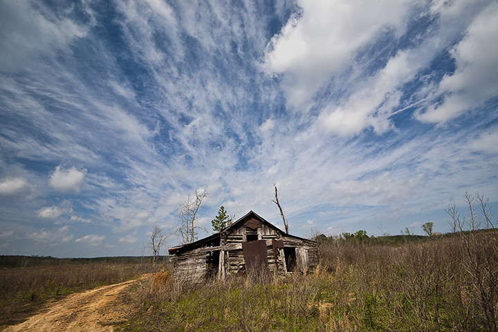
Clark County Barn

Hackberry Emperor (Asterocampa celtis)
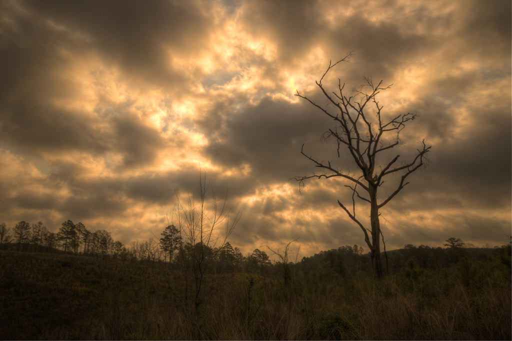
Cutover Clouds
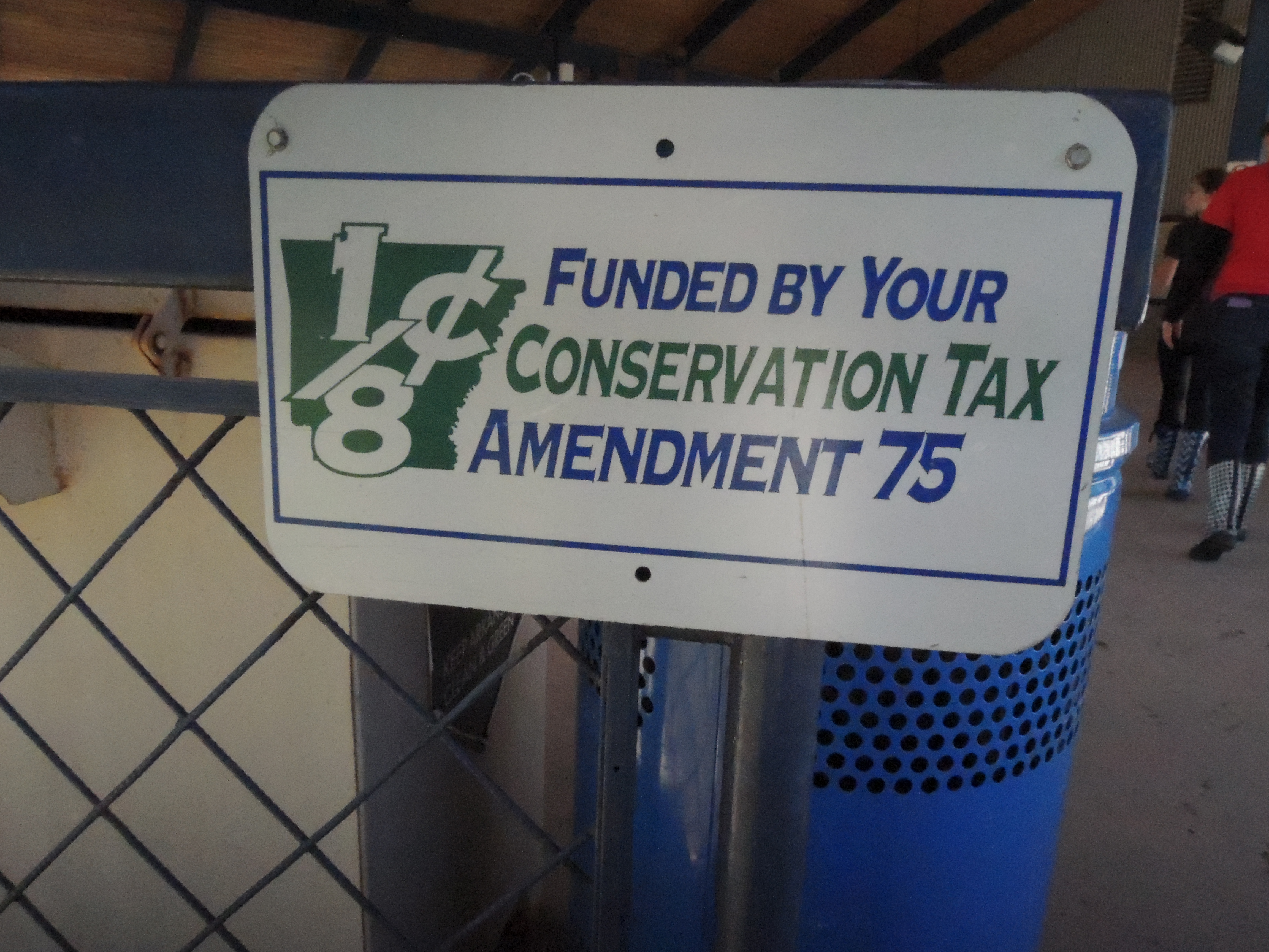
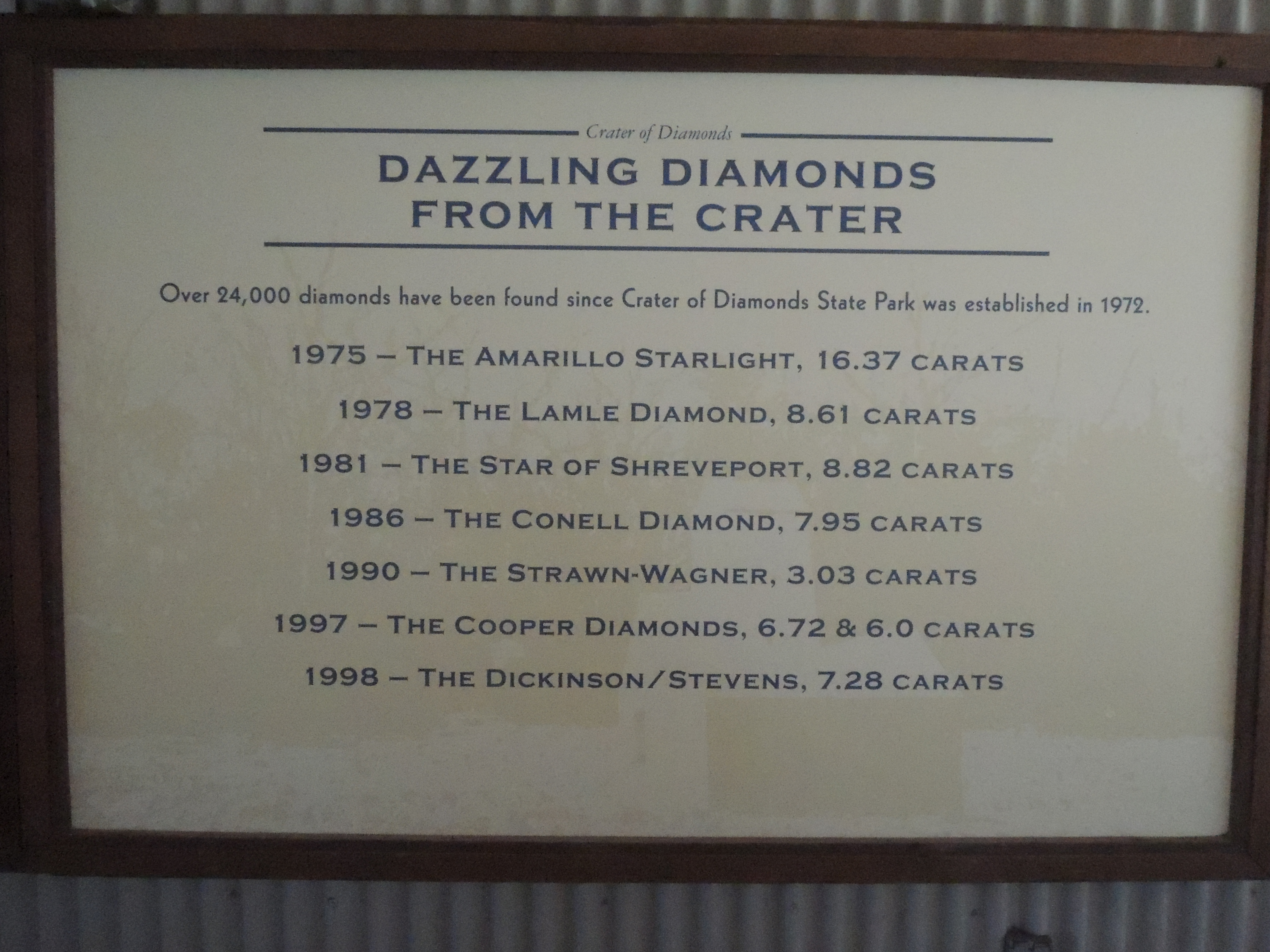
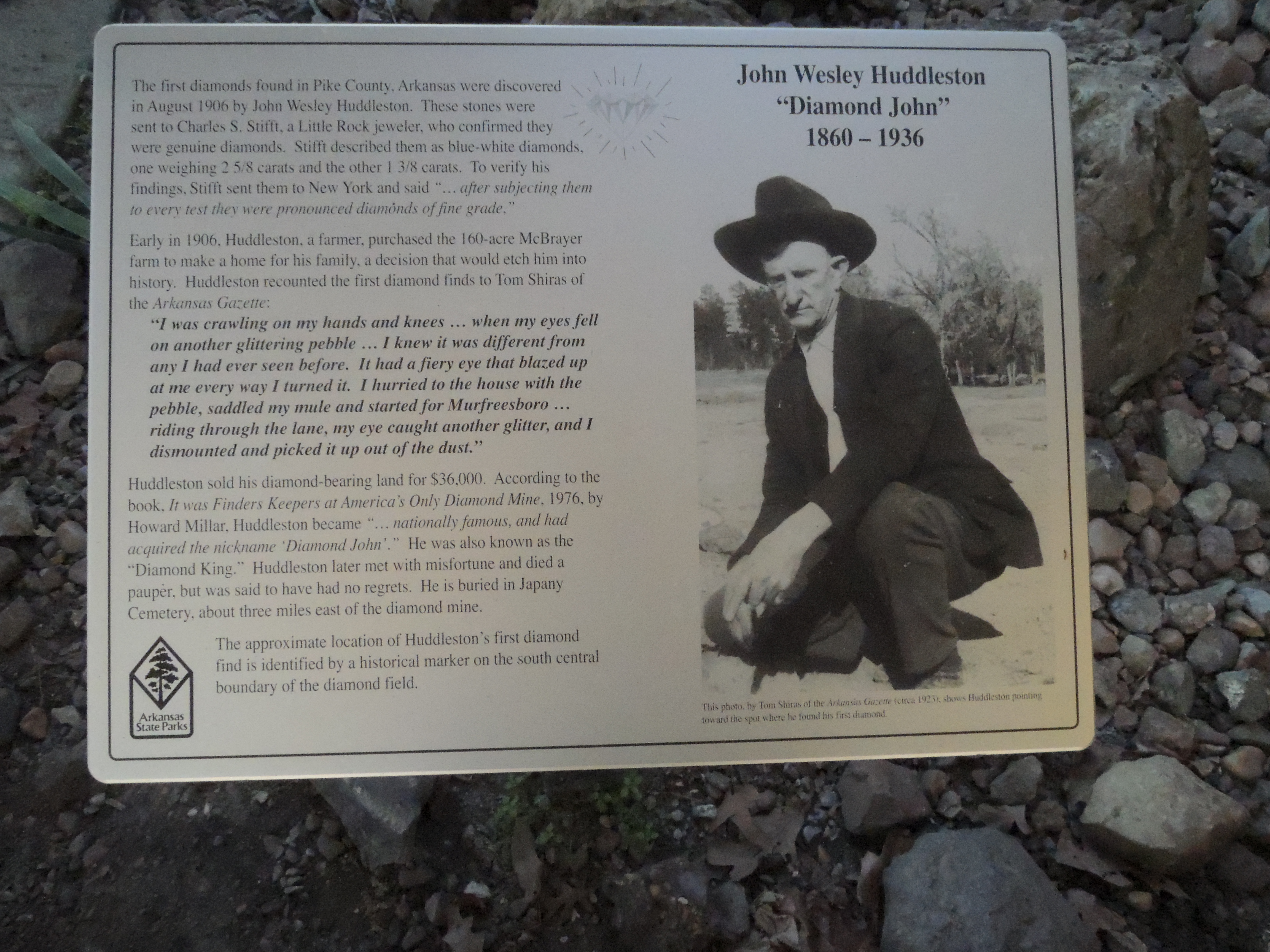
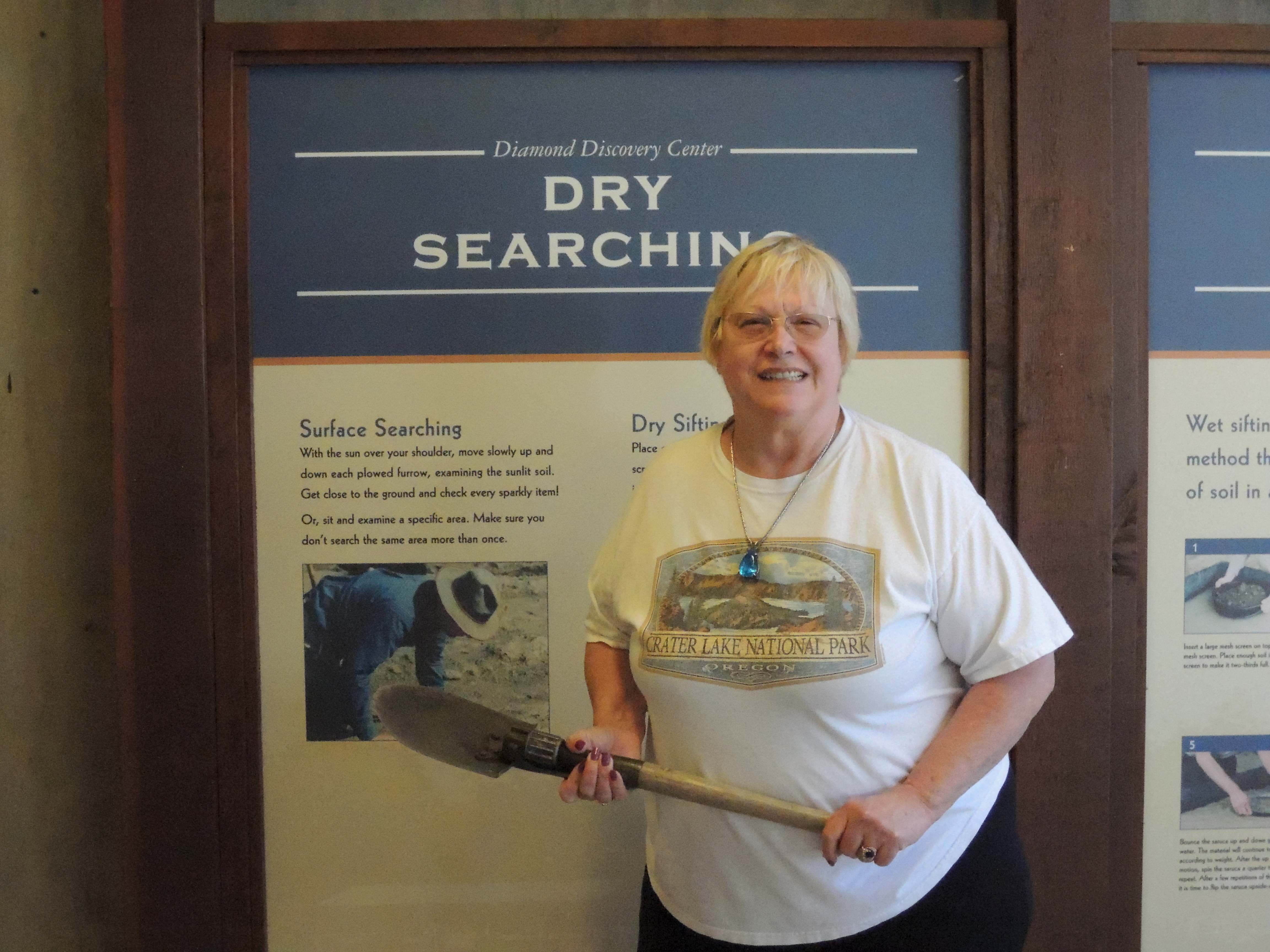
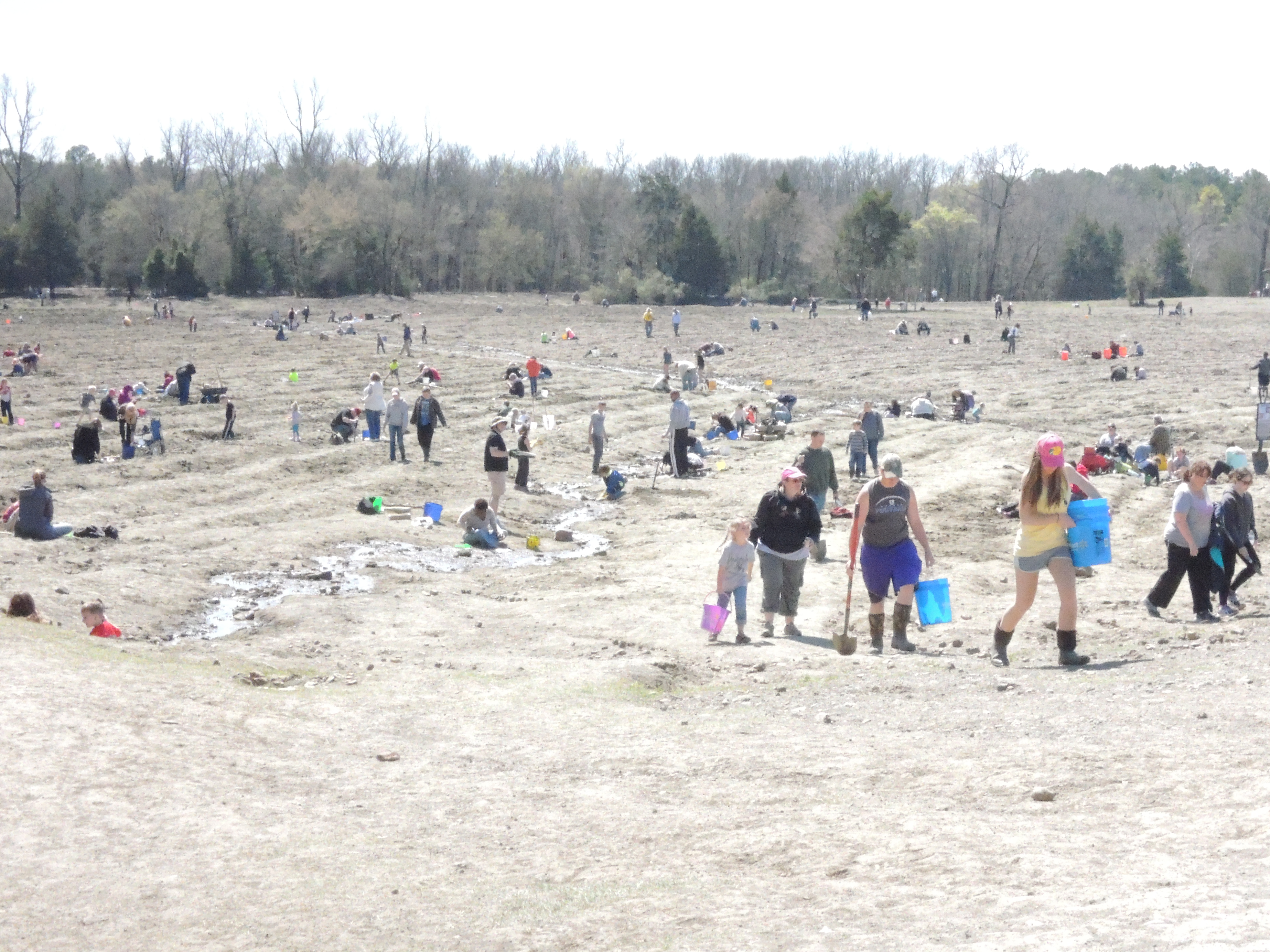
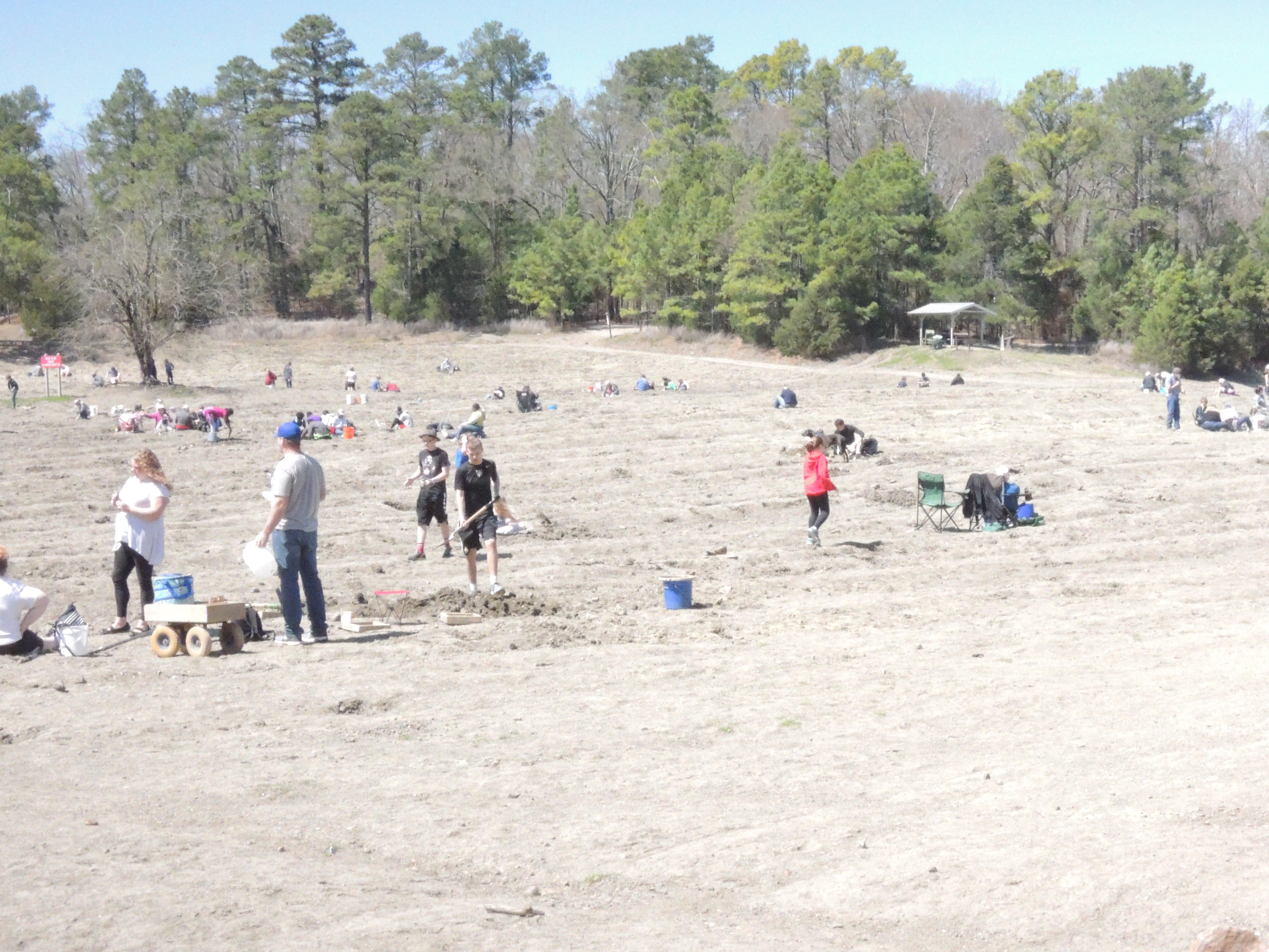
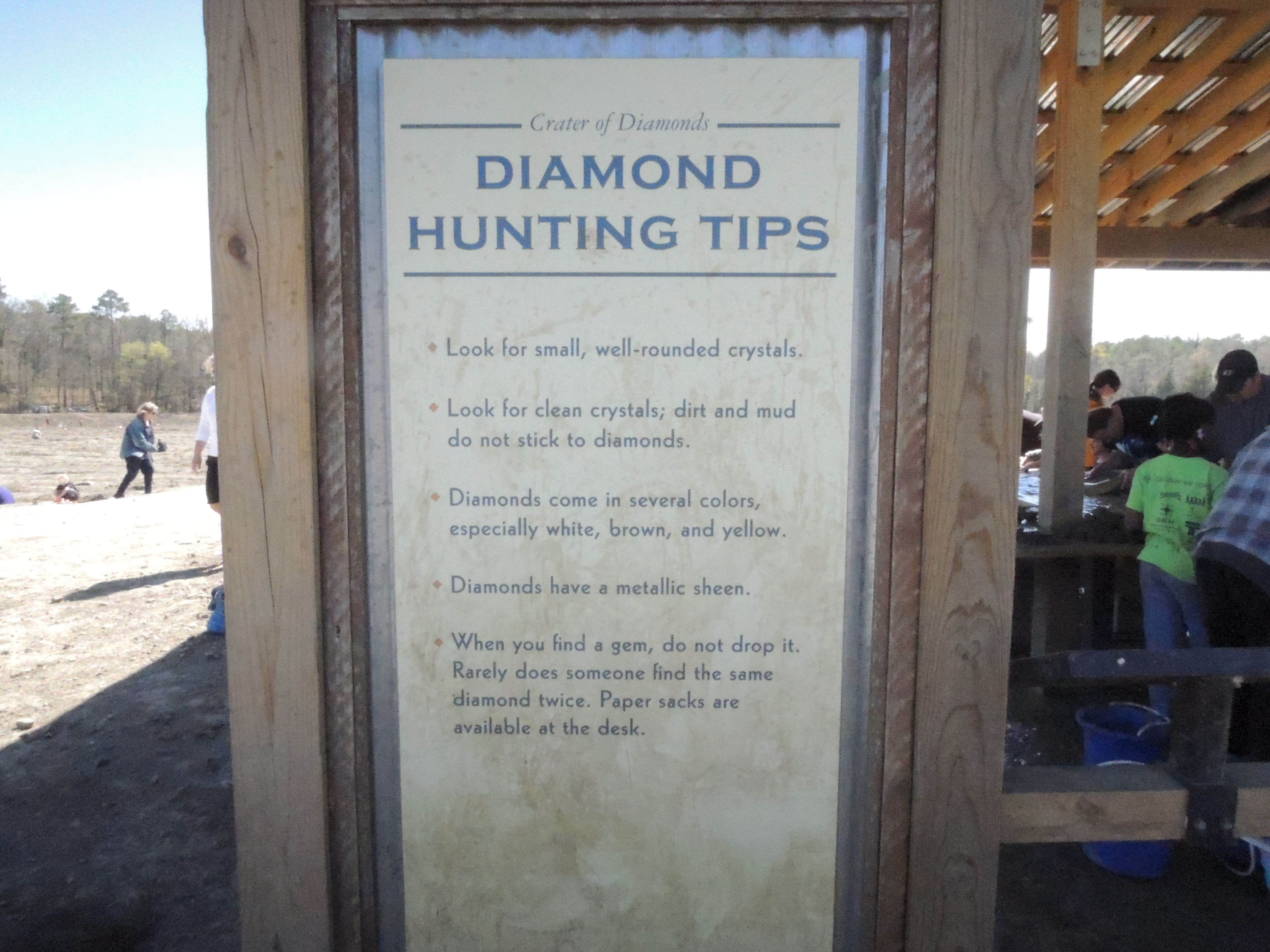
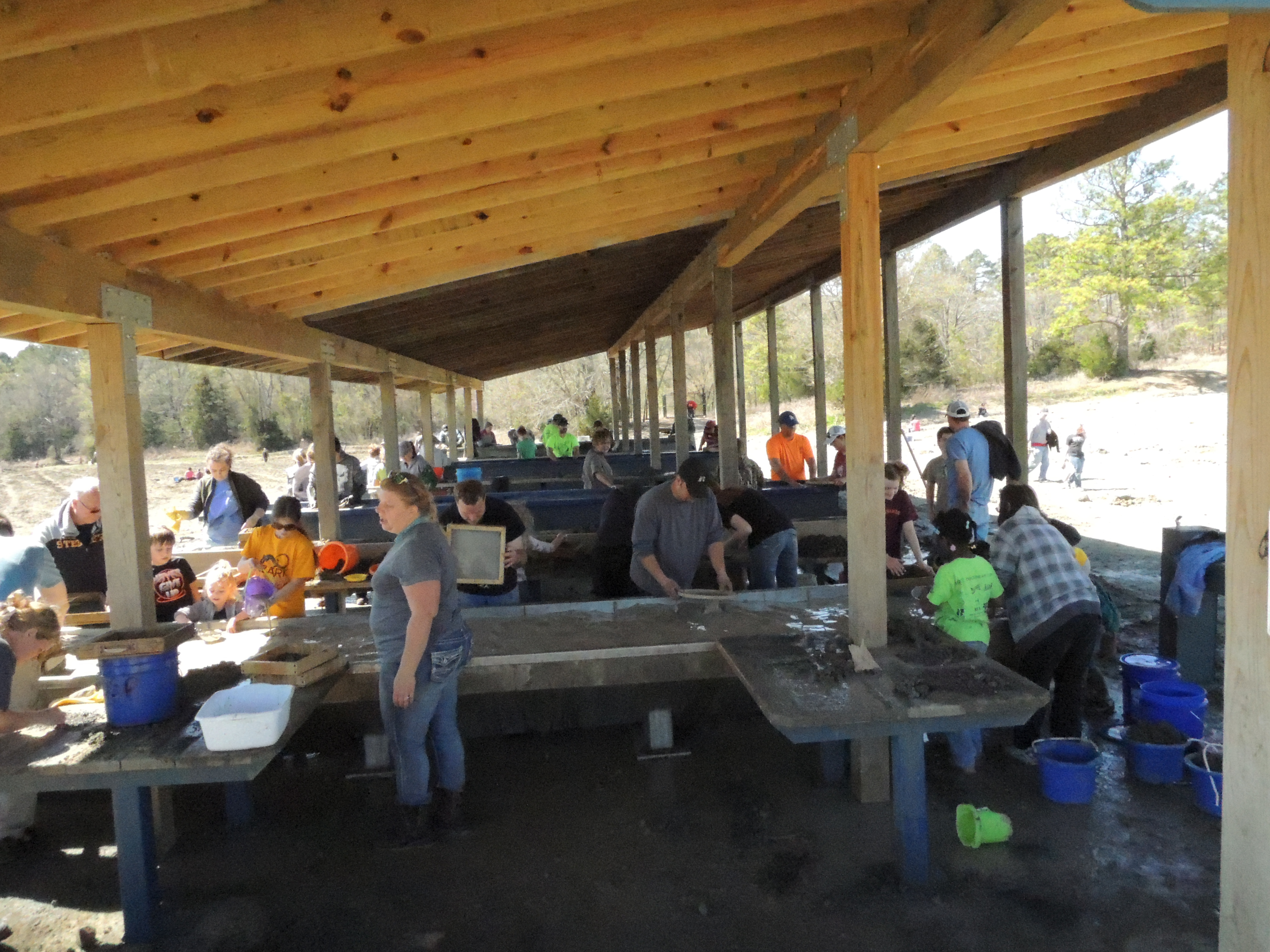
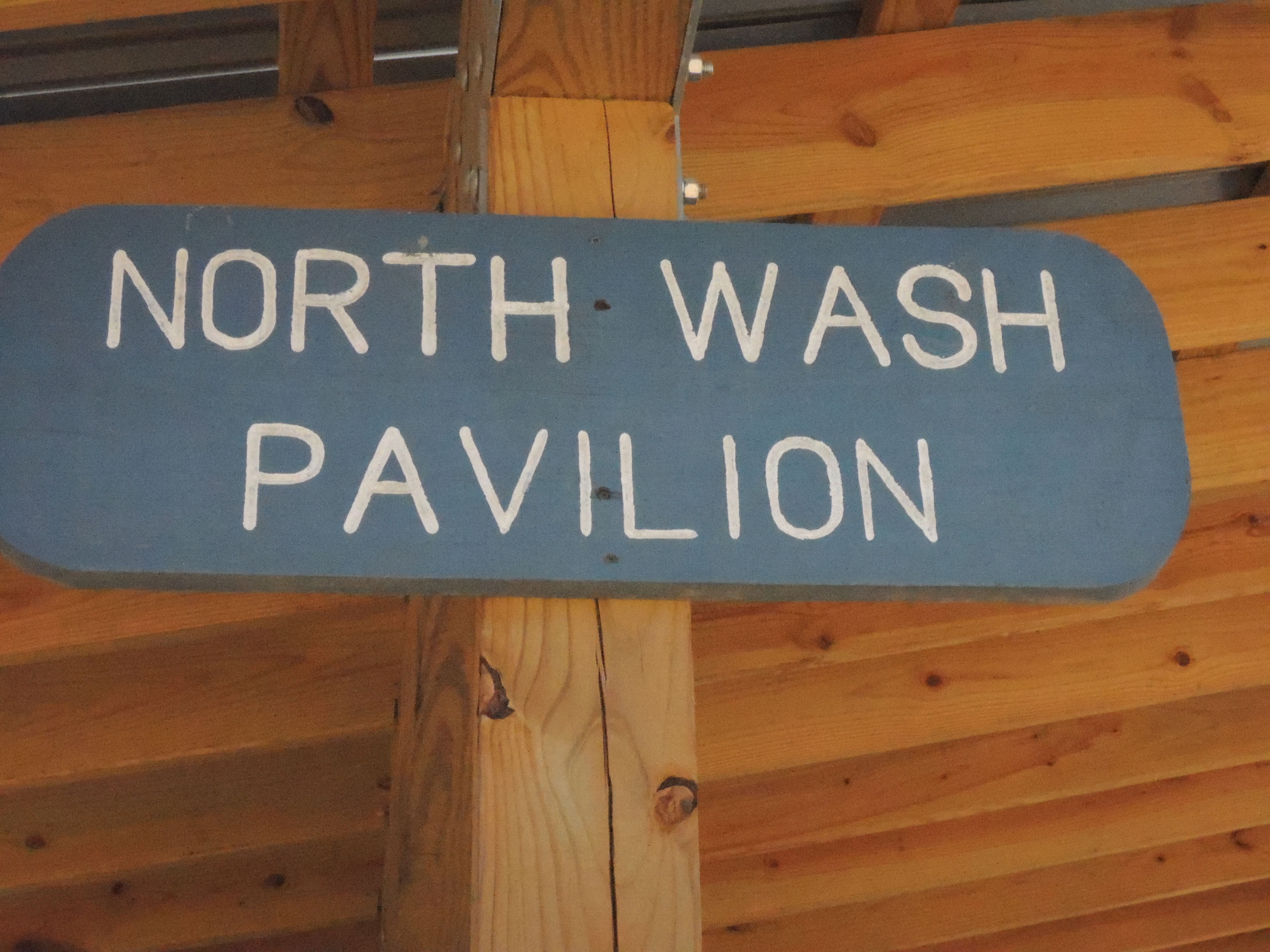
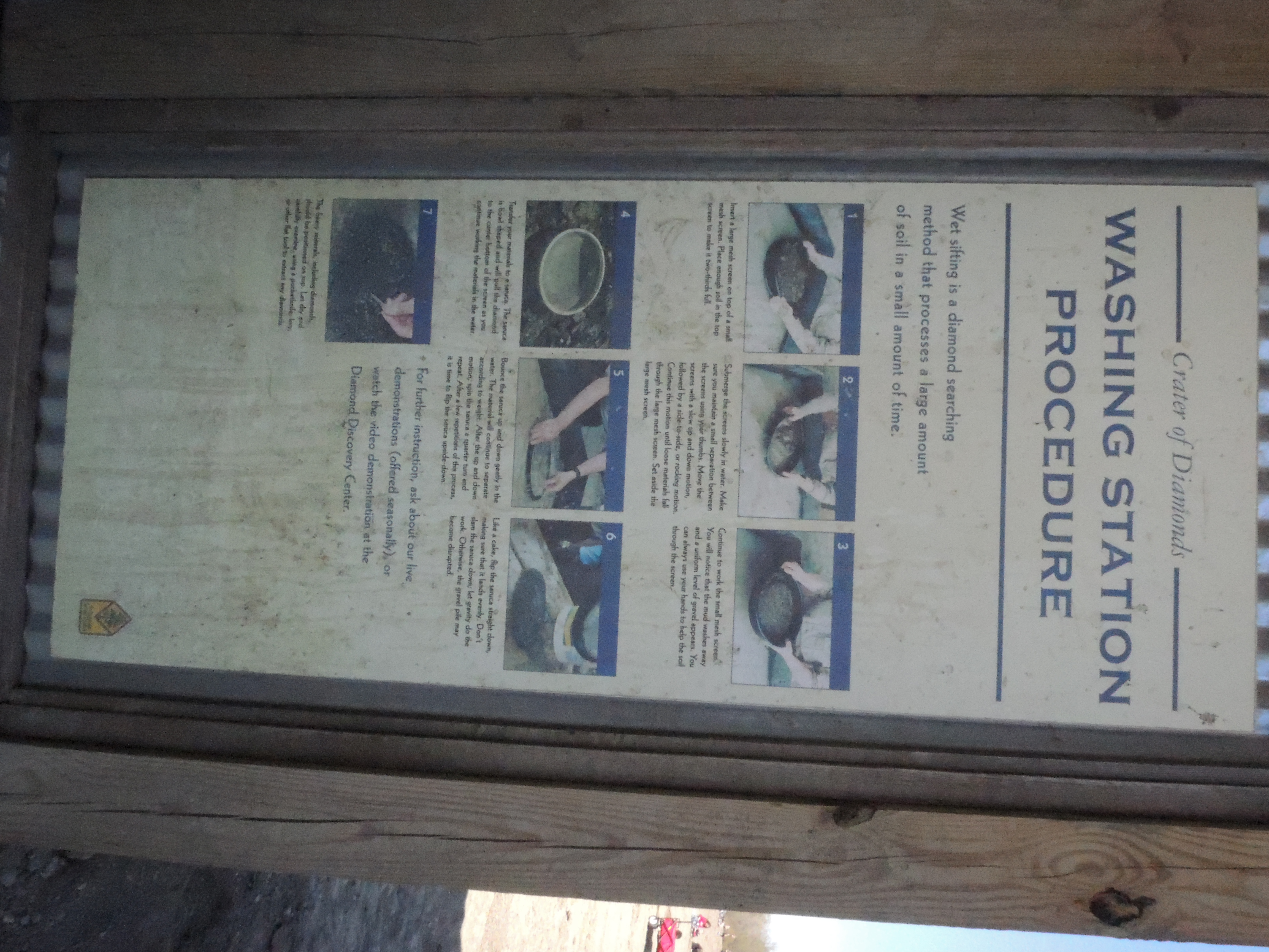
Arkansas Diamonds

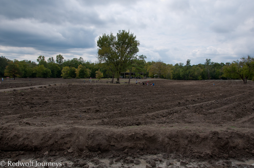
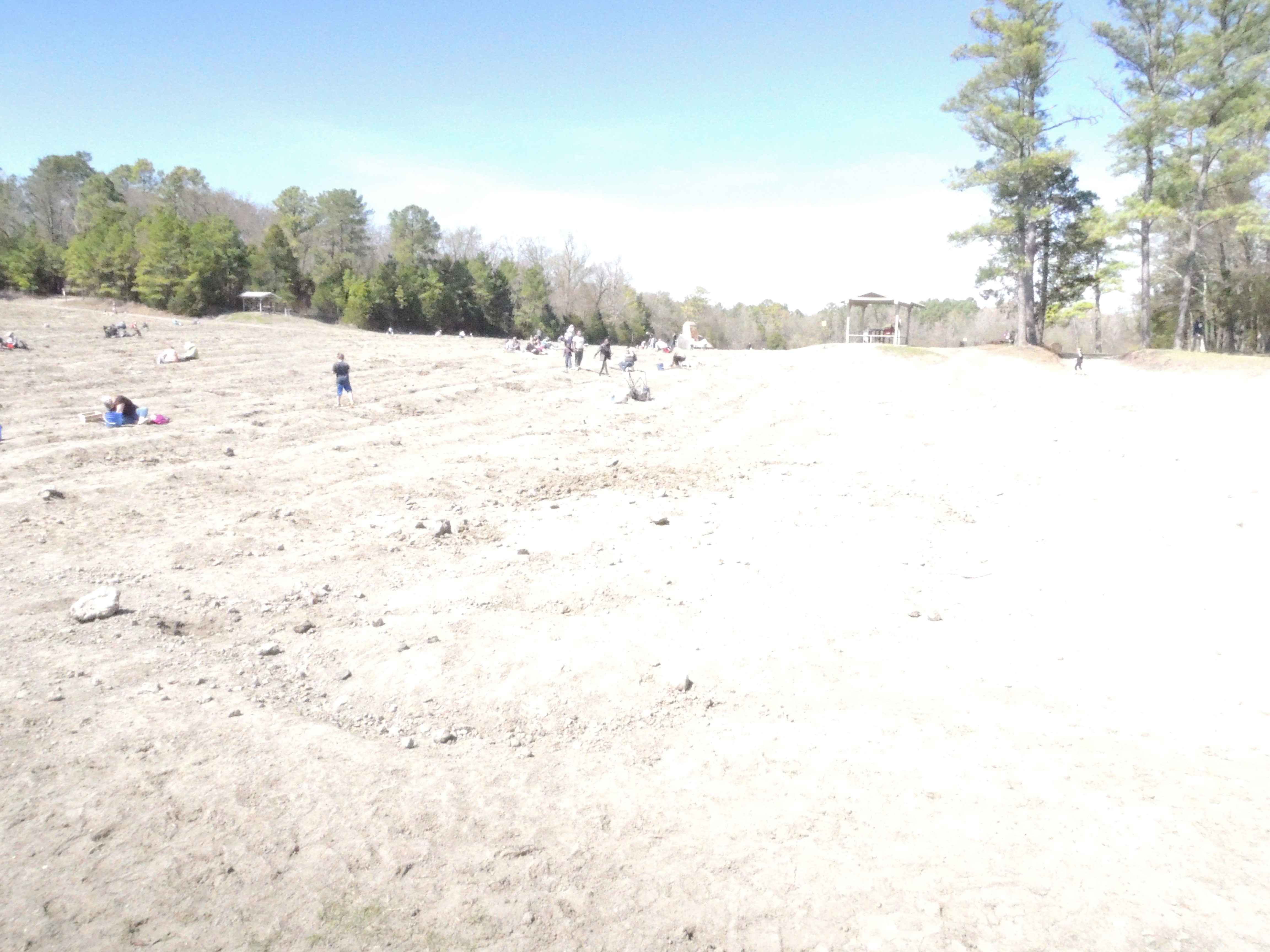
Crater of Diamonds State Park Murphreesboro AR (1)
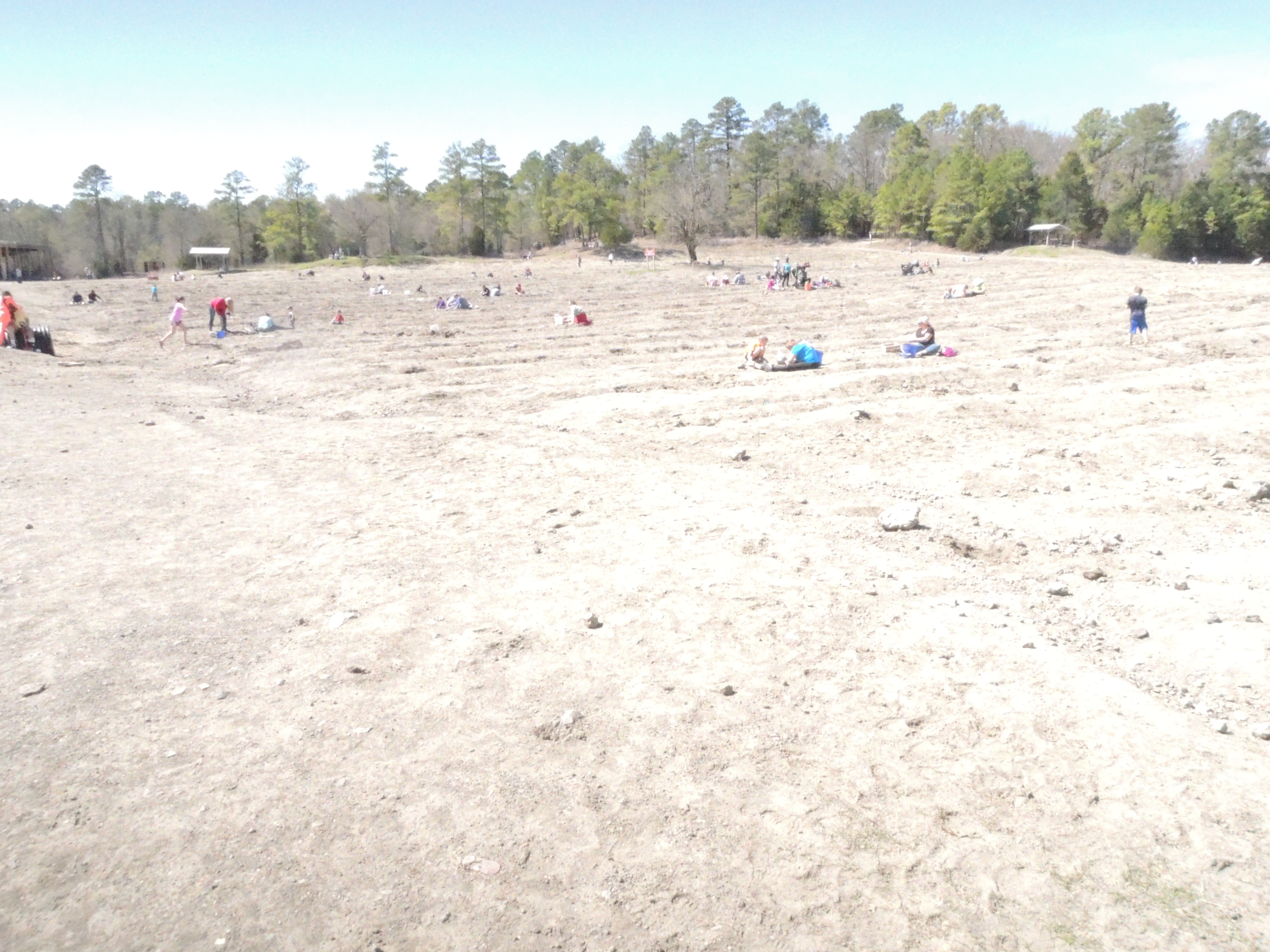
Crater of Diamonds State Park Murphreesboro AR (2)

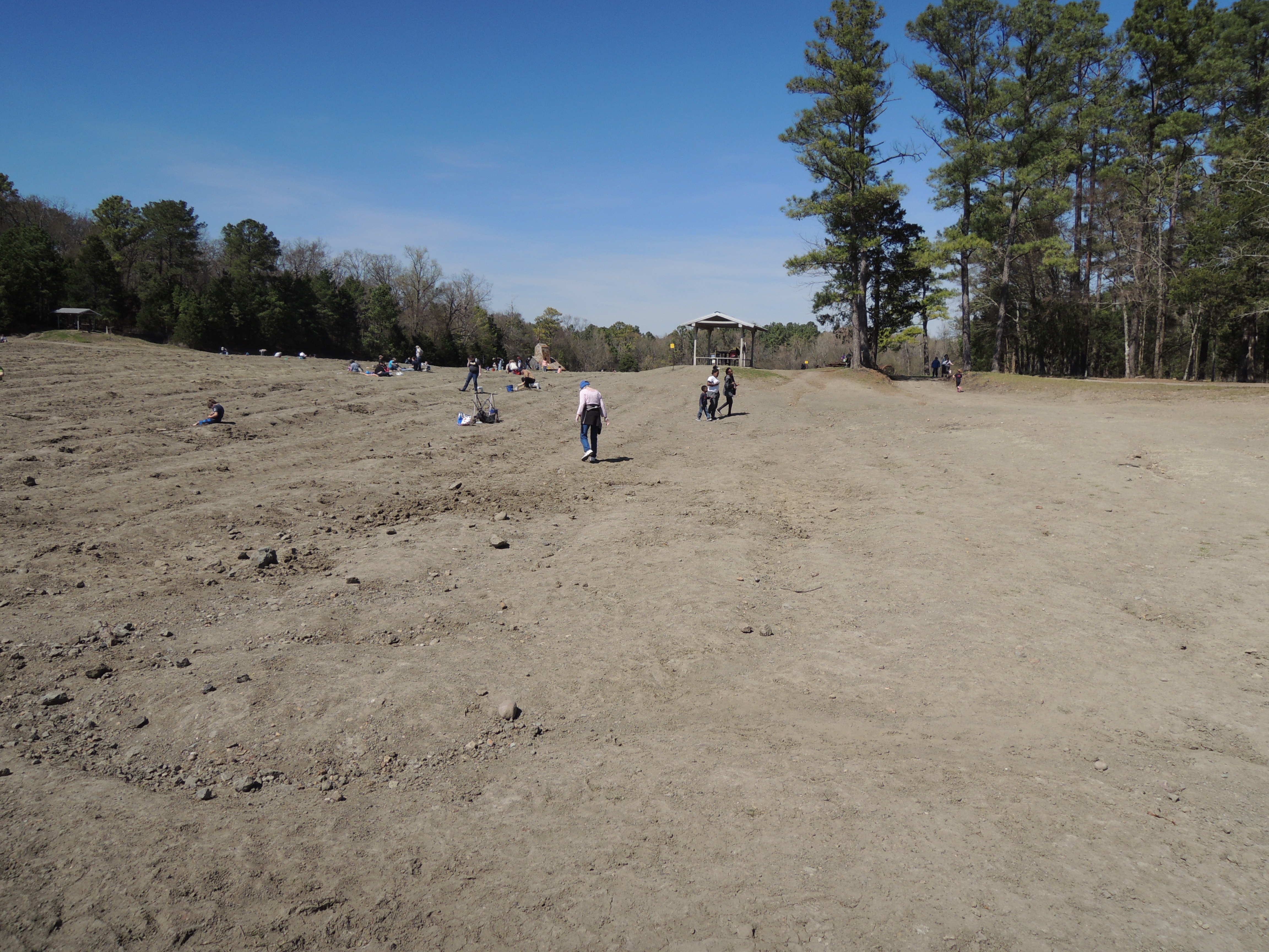
Crater of Diamonds State Park Murphreesboro AR (3)
Crater of Diamonds State Park Murphreesboro AR (4)

Crater of Diamonds State Park Murphreesboro AR (5)
Crater of Diamonds State Park Murphreesboro AR (6)

Crater of Diamonds State Park Murphreesboro AR (7) crop square diamond jim archer

Crater of Diamonds State Park Murphreesboro AR (7)
Crater of Diamonds State Park Murphreesboro AR (8)
Crater of Diamonds State Park Murphreesboro AR (9)
Crater of Diamonds State Park Murphreesboro AR (10)
Crater of Diamonds State Park Murphreesboro AR (11)
Crater of Diamonds State Park Murphreesboro AR (12)
Crater of Diamonds State Park Murphreesboro AR (13)
Crater of Diamonds State Park Murphreesboro AR (14)
Crater of Diamonds State Park Murphreesboro AR (15)
Crater of Diamonds State Park Murphreesboro AR (16)
Crater of Diamonds State Park Murphreesboro AR (17)
Crater of Diamonds State Park Murphreesboro AR (18)
Crater of Diamonds State Park Murphreesboro AR (19)
Crater of Diamonds State Park Murphreesboro AR (20)
Topographic Map of Delight, AR, USA
Find elevation by address:

Places in Delight, AR, USA:
Places near Delight, AR, USA:
Antioch St, Delight, AR, USA
Gus Wingfield Road
Missouri Township
AR-, Delight, AR, USA
AR-, Delight, AR, USA
Saline Township
Wolf Creek Township
AR-19, Delight, AR, USA
202 Bowen Bridge Rd
40 Main St, Antoine, AR, USA
Antoine
AR-, Delight, AR, USA
C R 13, Murfreesboro, AR, USA
Pike City Township
29 Code, Okolona, AR, USA
Haretown Rd, Okolona, AR, USA
Okolona
Mccaskill
Hempstead Rd, McCaskill, AR, USA
AR-19, Prescott, AR, USA
Recent Searches:
- Elevation of Corso Fratelli Cairoli, 35, Macerata MC, Italy
- Elevation of Tallevast Rd, Sarasota, FL, USA
- Elevation of 4th St E, Sonoma, CA, USA
- Elevation of Black Hollow Rd, Pennsdale, PA, USA
- Elevation of Oakland Ave, Williamsport, PA, USA
- Elevation of Pedrógão Grande, Portugal
- Elevation of Klee Dr, Martinsburg, WV, USA
- Elevation of Via Roma, Pieranica CR, Italy
- Elevation of Tavkvetili Mountain, Georgia
- Elevation of Hartfords Bluff Cir, Mt Pleasant, SC, USA