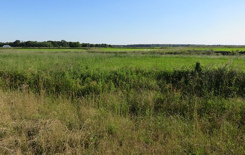
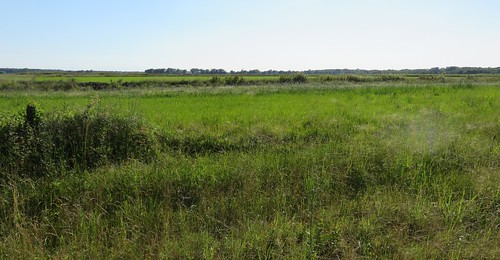
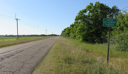
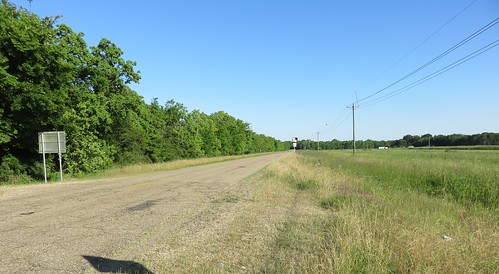
Elevation of Delahoussaye St, Church Point, LA, USA
Location: United States > Louisiana > Church Point >
Longitude: -92.215807
Latitude: 30.4169806
Elevation: 15m / 49feet
Barometric Pressure: 101KPa
Related Photos:
Topographic Map of Delahoussaye St, Church Point, LA, USA
Find elevation by address:

Places near Delahoussaye St, Church Point, LA, USA:
1734 La-35
206 Chardonnay Rd
1047 Oak Rd
11, LA, USA
10, LA, USA
166 Southbend Dr
1, LA, USA
Rue Francois, Eunice, LA, USA
Abby Ln, Opelousas, LA, USA
Saint Julien Road
704 Willie Young Rd
243 Texas Eastern Rd
Grand Street
1st St, Ville Platte, LA, USA
3, LA, USA
Brother J Road
Eunice
731 W Oak Ave
12, LA, USA
West Ash Avenue
Recent Searches:
- Elevation of Congressional Dr, Stevensville, MD, USA
- Elevation of Bellview Rd, McLean, VA, USA
- Elevation of Stage Island Rd, Chatham, MA, USA
- Elevation of Shibuya Scramble Crossing, 21 Udagawacho, Shibuya City, Tokyo -, Japan
- Elevation of Jadagoniai, Kaunas District Municipality, Lithuania
- Elevation of Pagonija rock, Kranto 7-oji g. 8"N, Kaunas, Lithuania
- Elevation of Co Rd 87, Jamestown, CO, USA
- Elevation of Tenjo, Cundinamarca, Colombia
- Elevation of Côte-des-Neiges, Montreal, QC H4A 3J6, Canada
- Elevation of Bobcat Dr, Helena, MT, USA

