Elevation of Deer Ridge Dr, Bayfield, CO, USA
Location: United States > Colorado > Bayfield >
Longitude: -107.60698
Latitude: 37.3285927
Elevation: 2304m / 7559feet
Barometric Pressure: 77KPa
Elevation Map:
Satellite Map:
Related Photos:

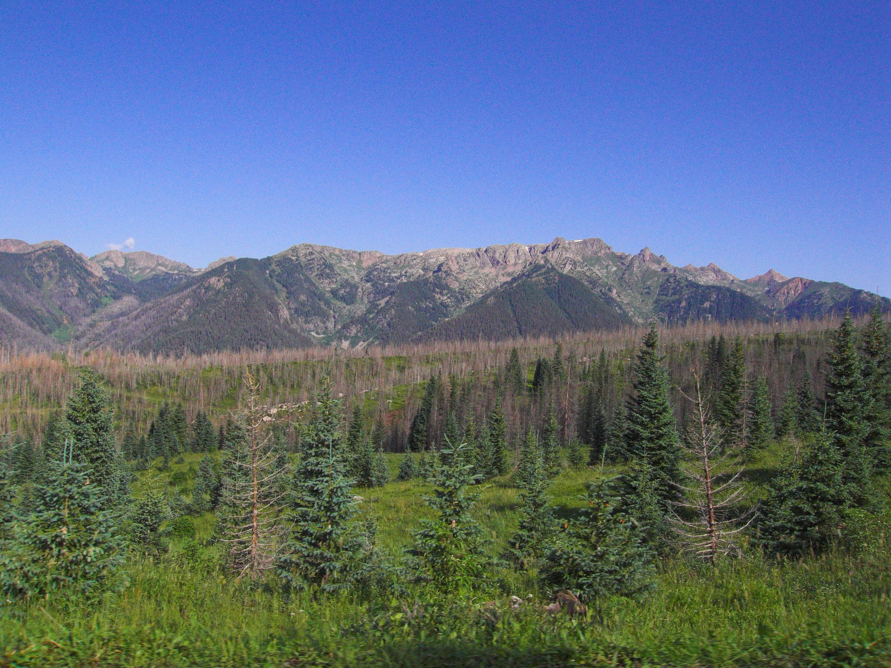
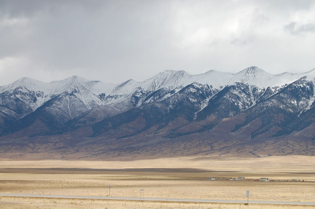
Up At Vallecito!

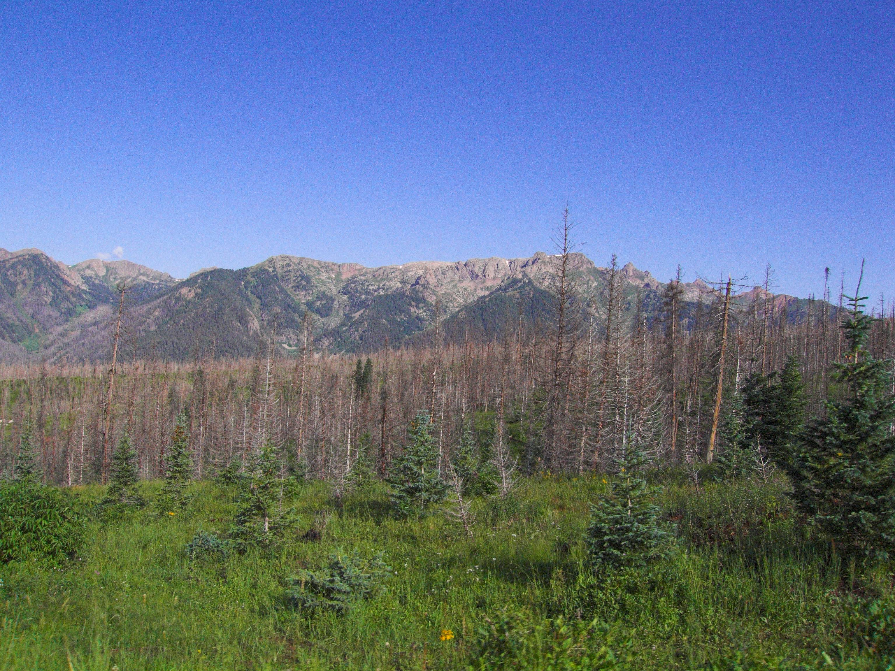
Ready to Fly
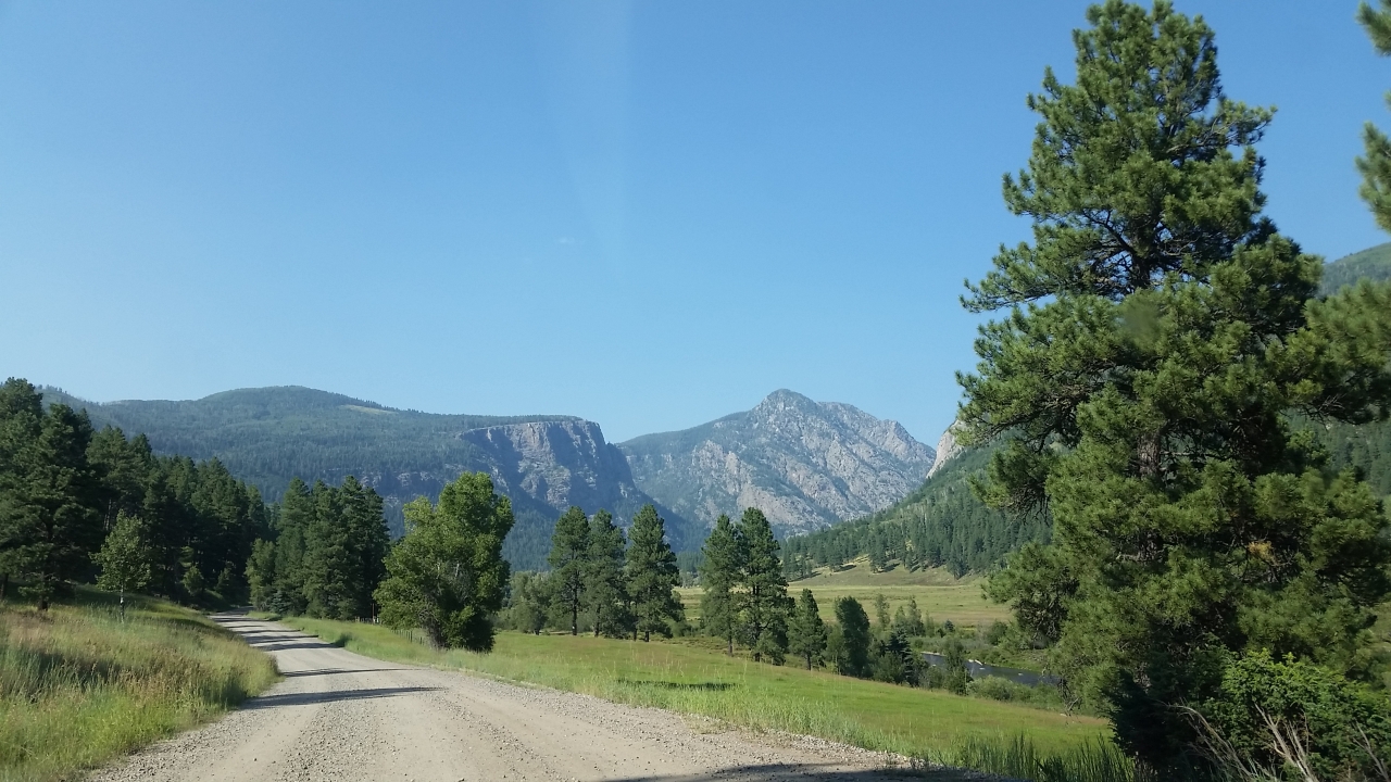
Middle Mountain Road
Middle Mountain Road
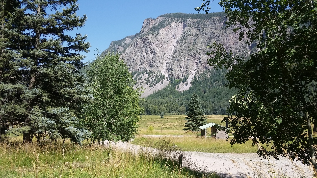
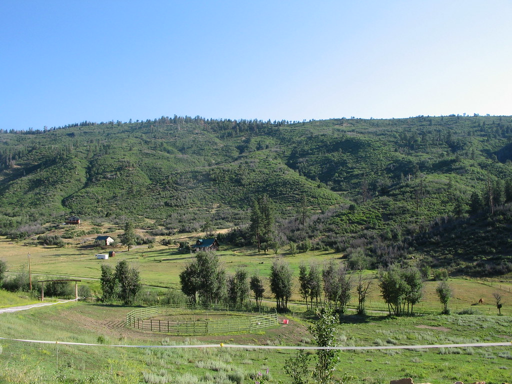
View from the Deck

Vallecito Resevoir
5834 View from our campsite at the Pine River Campground of Peak 9777
5844 View from Route 501 of the Pine River Valley as I drive the car back to the Pine River Campground
The view from the cabin

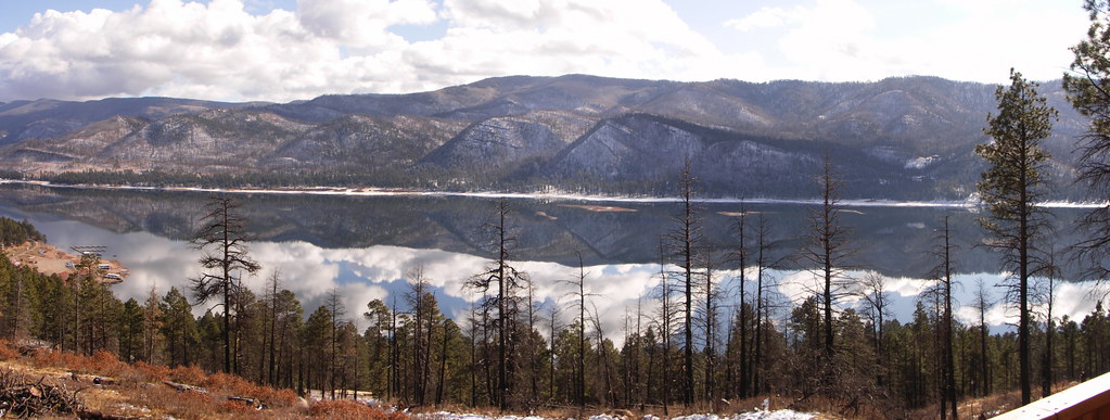
Vallecito Resevoir
Granite Peaks
Piedra Overlook
Sheep on a country road

Along the Shore
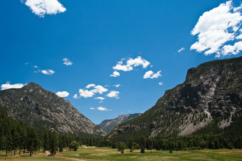
Pine River Valley
Along the Shore

Morning Descends, II

5899 Sunrise over the Pine River Valley from the Pine River Campground
Along the Shore

Sunset out in the sticks
Mesa Verde Trip-3

P1010779.jpg

P1010780.jpg

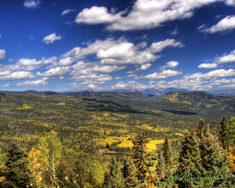
Mesa Verde Trip-2

Mountain. Taken with my new Canon PowerShot SX50 HS, which I got as a graduation present. :)

Lakeside Campfire
Topographic Map of Deer Ridge Dr, Bayfield, CO, USA
Find elevation by address:

Places near Deer Ridge Dr, Bayfield, CO, USA:
166 Spruce Way
204 Snowbird Ct
456 Mesa Dr
802 Forest Lakes Dr
891 Deer Ridge Dr
Forest Lakes Drive
34 San Moritz Dr
200 Forest Lakes Dr
504 Blue Ridge Dr
246 San Moritz Dr
1142 Deer Ridge Dr
82 Deer Ridge Dr
224 Meadowbrook Dr
75 Forest Lakes Dr
112 Ridgetop Dr
32 Forest Lakes Dr
108 Chateau Ln
774 Blue Ridge Dr
529 San Moritz Dr
597 San Moritz Dr
Recent Searches:
- Elevation of Norfolk, NY, USA
- Elevation of - San Marcos Pass Rd, Santa Barbara, CA, USA
- Elevation of th Pl SE, Issaquah, WA, USA
- Elevation of 82- D Rd, Captain Cook, HI, USA
- Elevation of Harlow CM20 2PR, UK
- Elevation of Shenyang Agricultural University, Dong Ling Lu, Shen He Qu, Shen Yang Shi, Liao Ning Sheng, China
- Elevation of Alpha Dr, Melbourne, FL, USA
- Elevation of Hiroshima University, 1-chōme-3-2 Kagamiyama, Higashihiroshima, Hiroshima -, Japan
- Elevation of Bernina Dr, Lake Arrowhead, CA, USA
- Elevation of N 82nd Pl, Mesa, AZ, USA