Elevation of Deer Hollow Ct, Redding, CA, USA
Location: United States > California > Shasta County > Redding > Grant >
Longitude: -122.45959
Latitude: 40.5173515
Elevation: 247m / 810feet
Barometric Pressure: 98KPa
Elevation Map:
Satellite Map:
Related Photos:
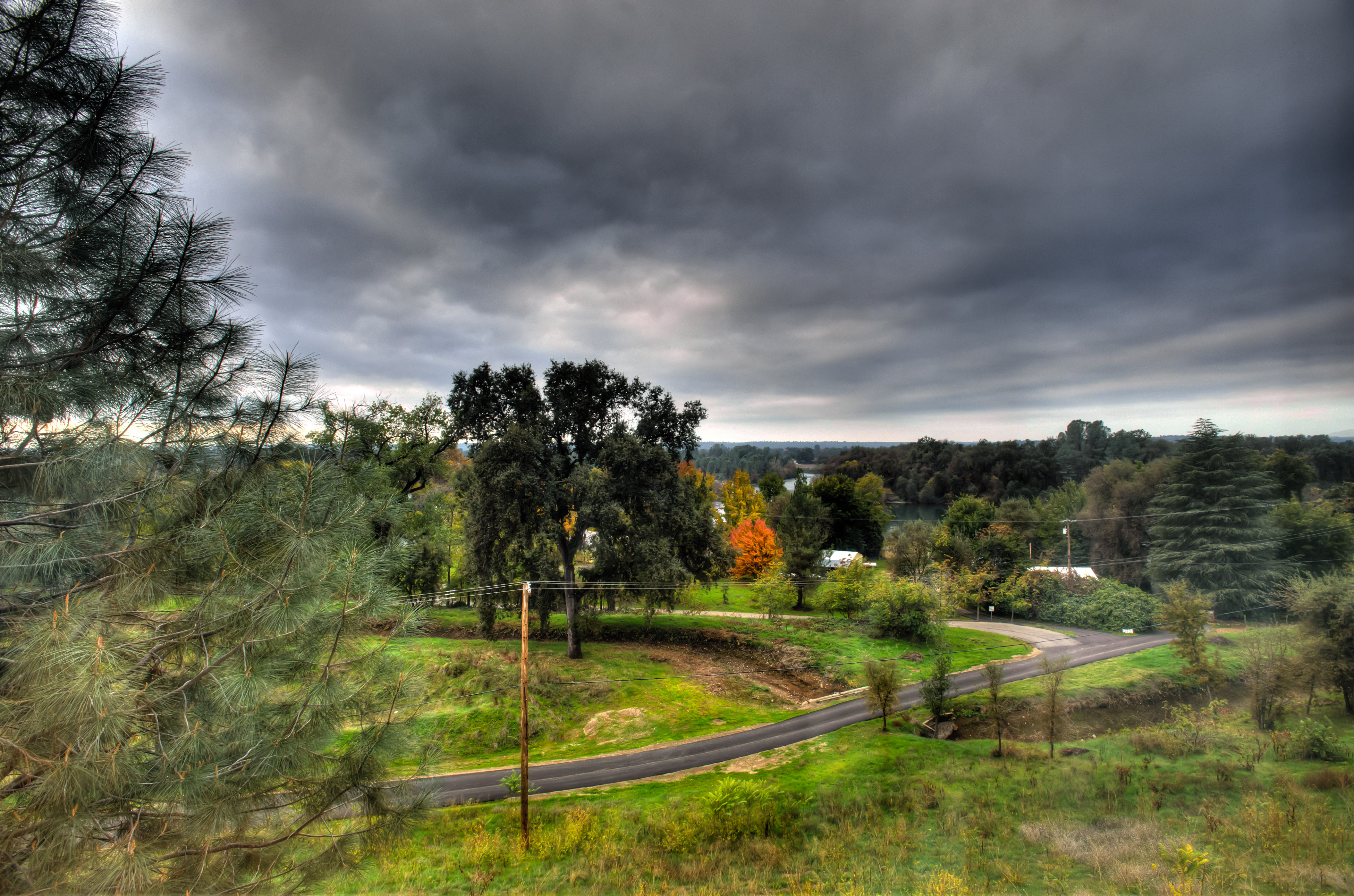
Sundial Bridge in September

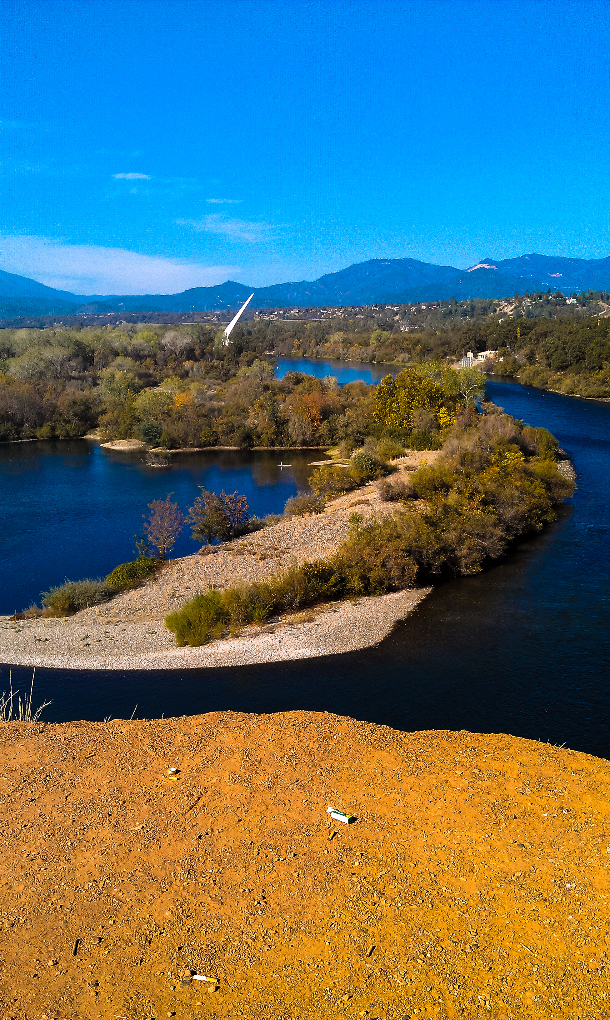
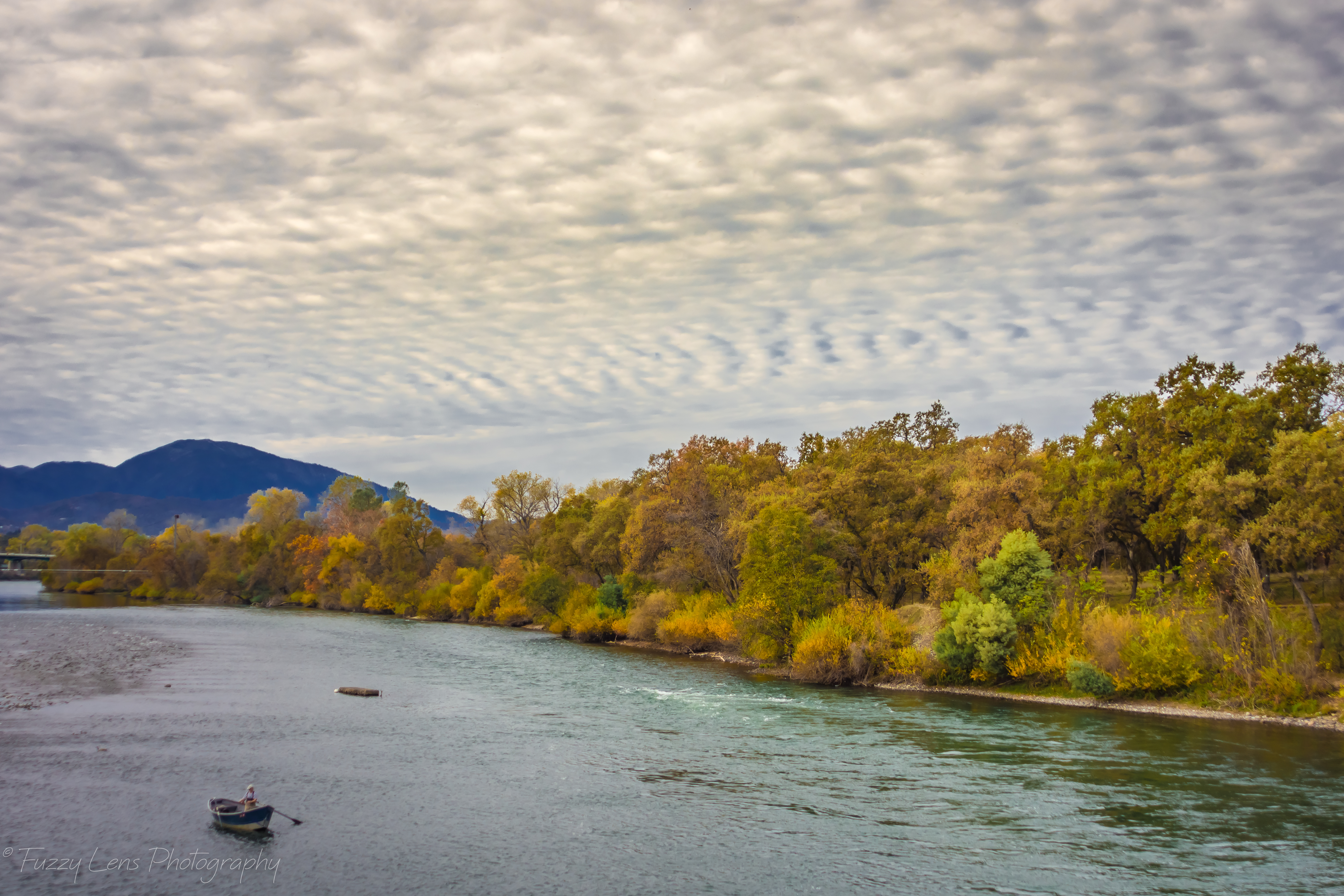
Sunset over Sacramento River

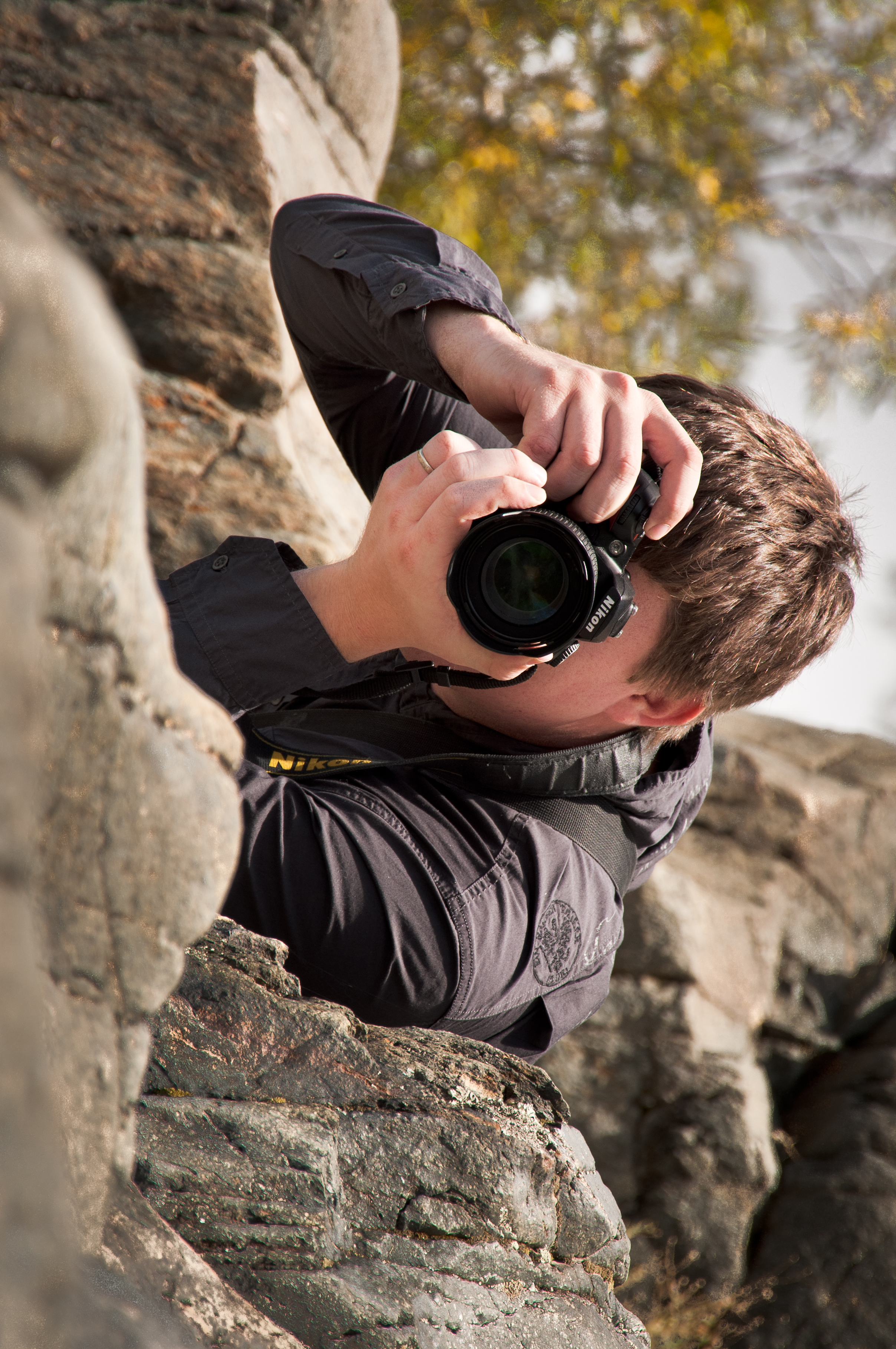
Self Portrait - 1
Whatever it Takes

Sundial Bridge at Turtle Bay Exploration Park facing west view in Redding, California.

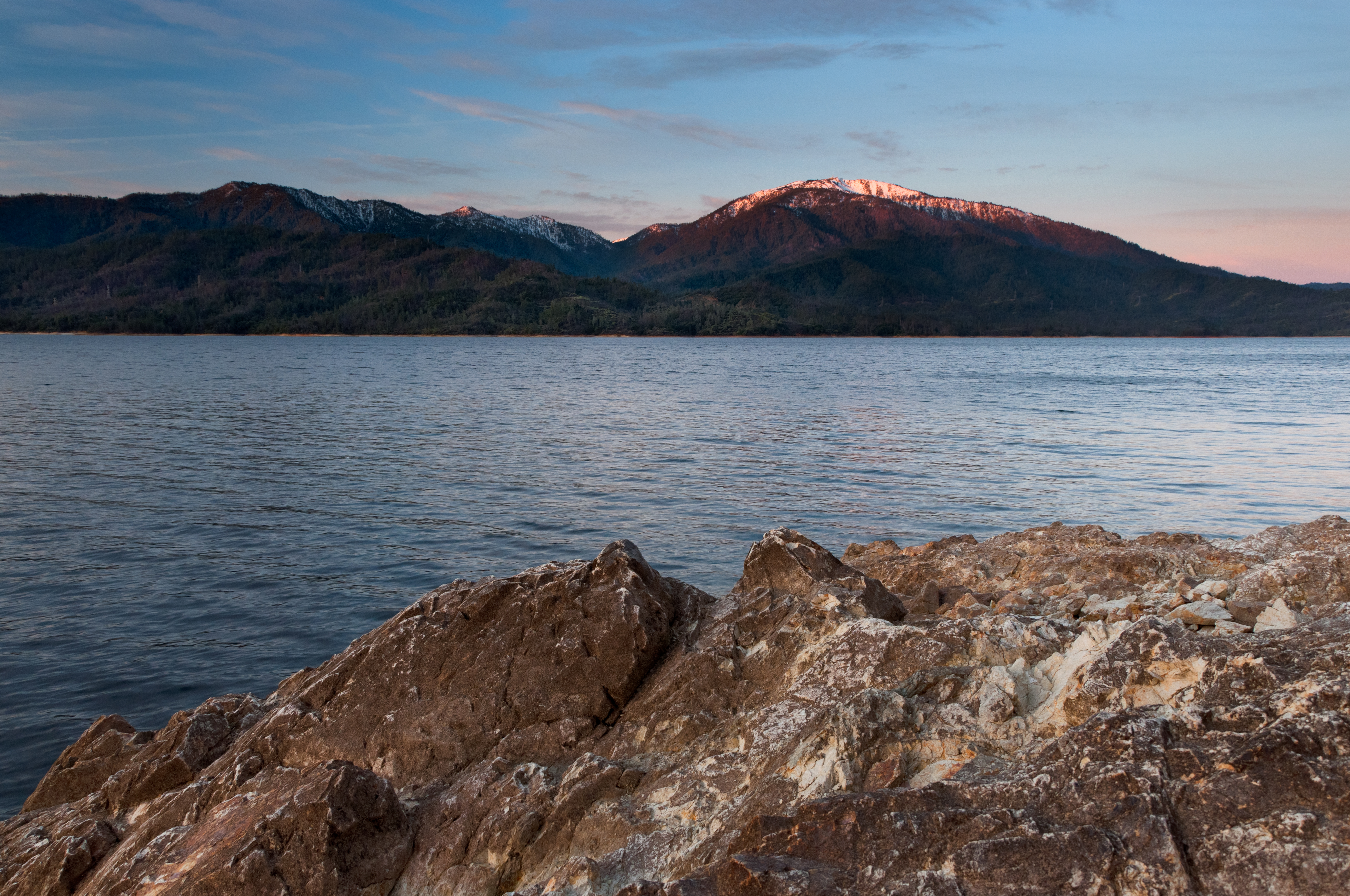
Mt. Shasta

California Winter
Heaven Came Down

Calatrava's Sundial Bridge, Redding, California

Sundial Bridge at Turtle Bay (II)

View from the overflow. Who'd have though you wouldn't be able to find a seat at an 8.30am service. Love this place!

Sundial Bridge Lightning, The Sundial Bridge, Redding, CA

Sundial in Blue
Learning to Glow

Self Portrait - 3

Redding, CA OES Fire Engine 329 for Shasta County

Roberts_68 Sundial Bridge
Morning View

Self Portrait - 2

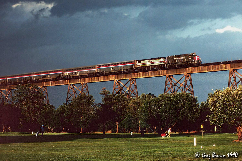
Redding, CASD59MX-UP 9900

Bald Eagle with Fish in Talons - This is "Liberty", the female of the nesting pair at Turtle Bay, Redding, California
There we go (Brandy Creek)
Heart of Gold (Brand Creek)
Almost there
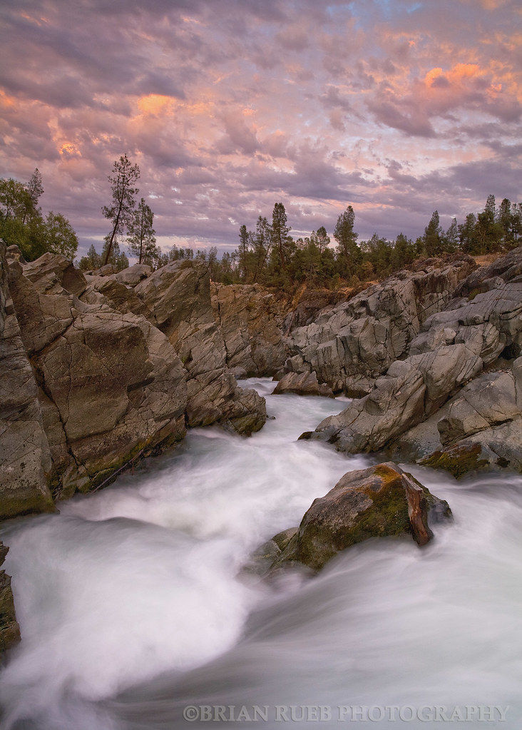
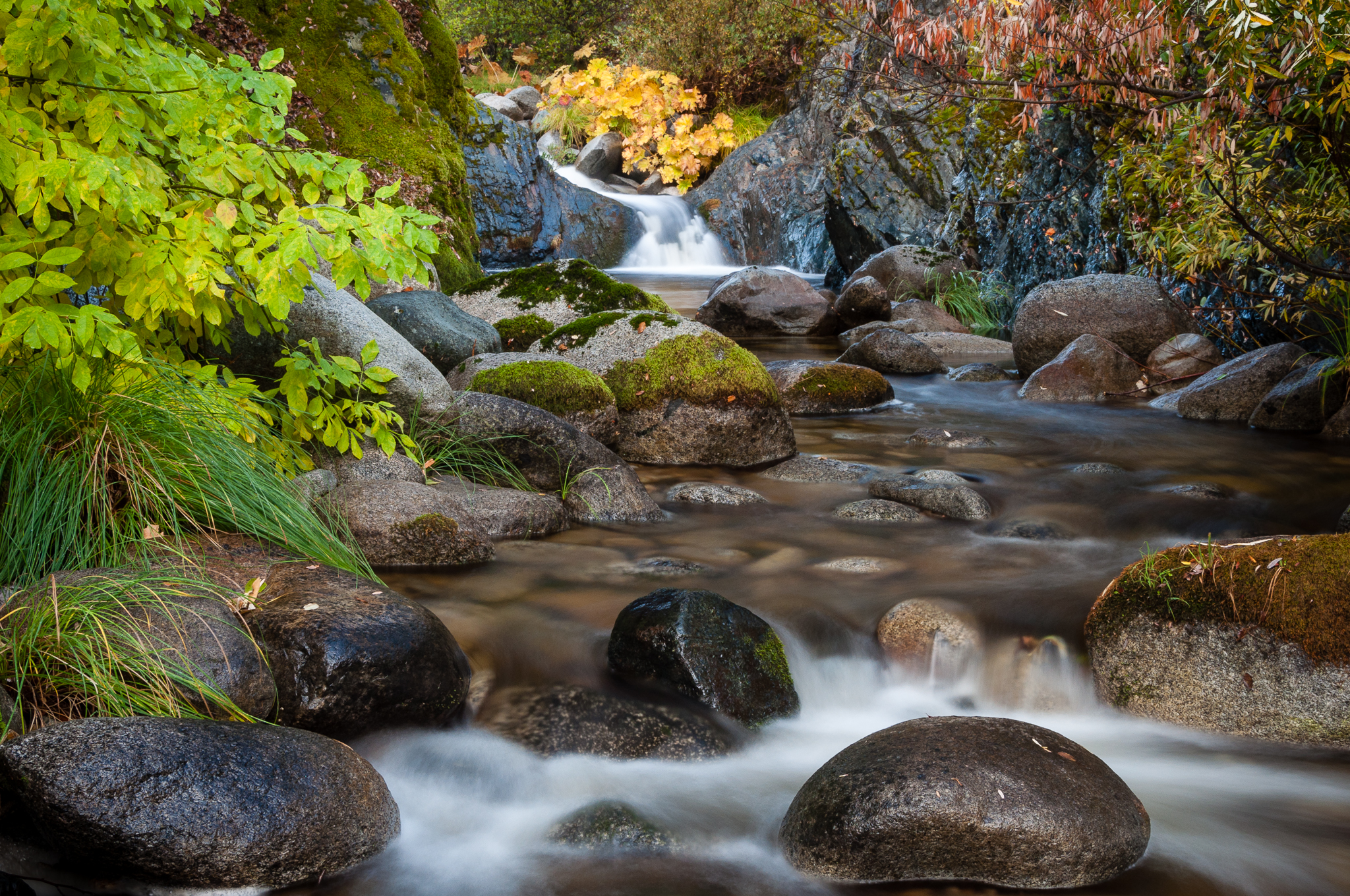
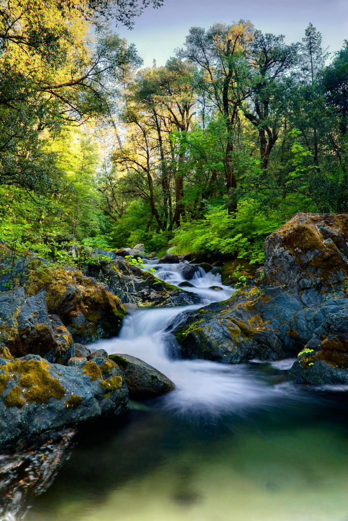
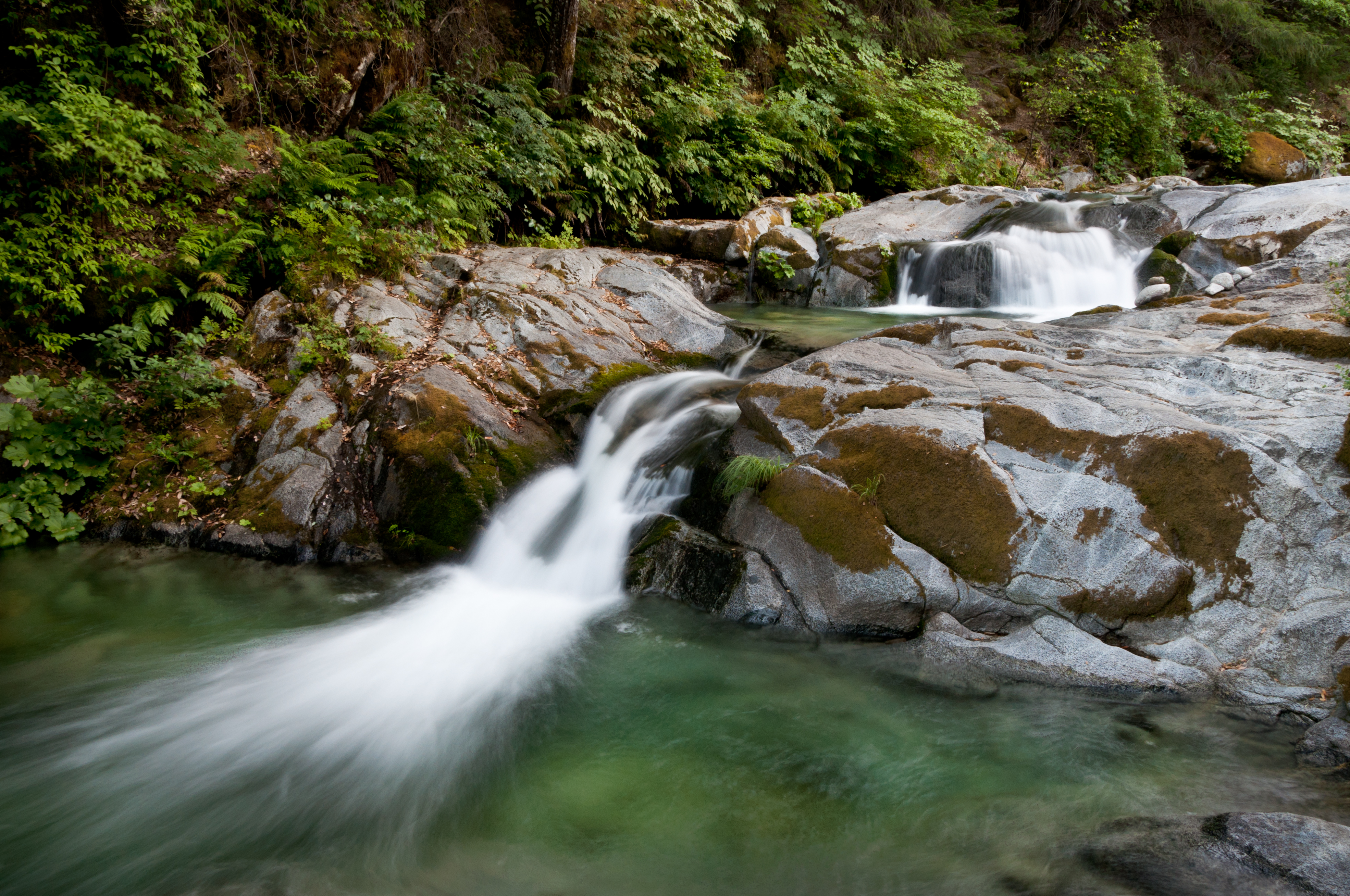
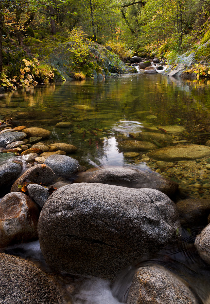
Clear Creek

Sundial Bridge
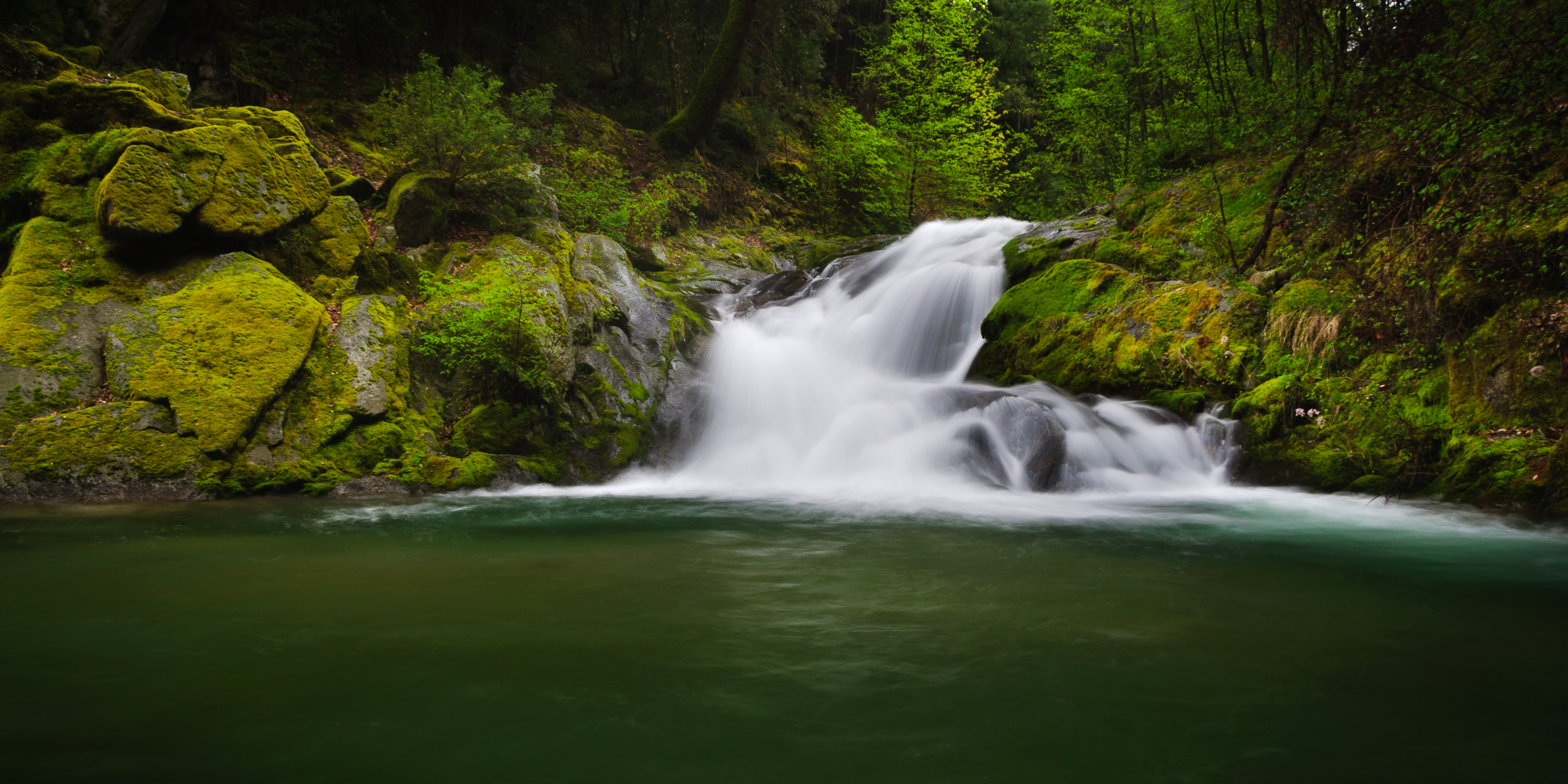
Brand Creek (Dropped)
Brandy Creek 2
Out of Reach
God is an Artist - Brandy Creek
171124 Black Friday gold-001J

A Path of Exploration and Learning - Turtle Bay Exploration Park - Redding, Shasta County, California

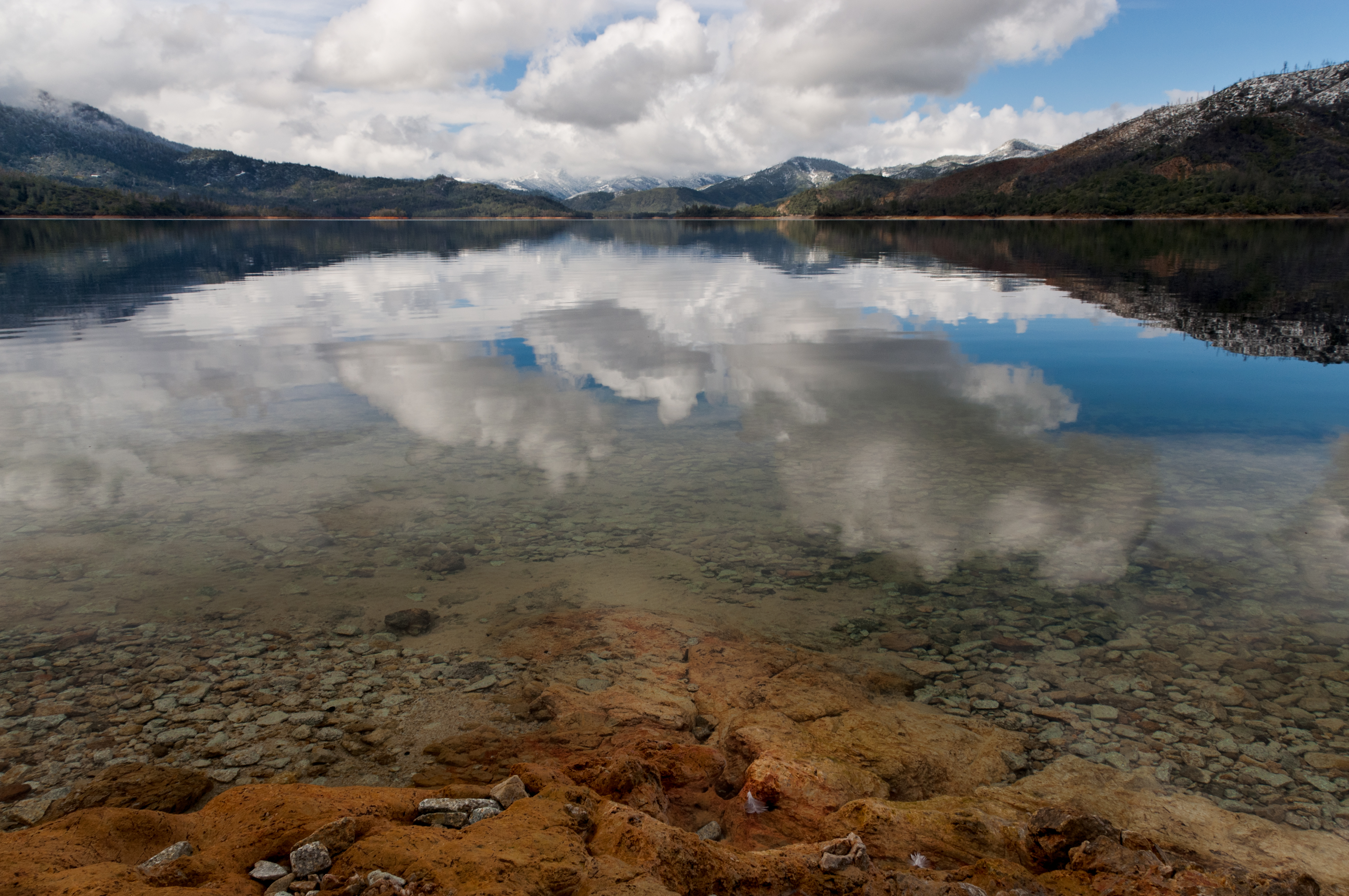
Whiskeytown Lake, California, USA
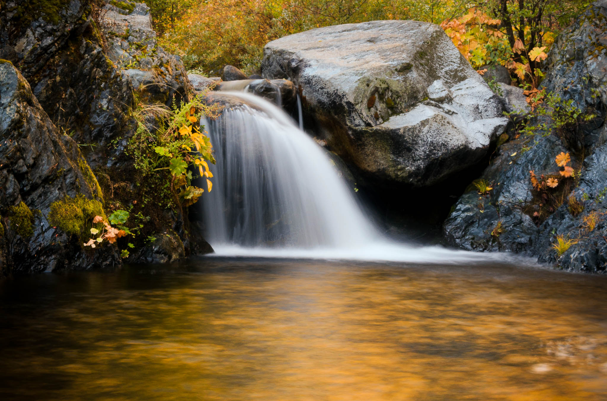
Golden Ticket (Brandy Creek Falls)
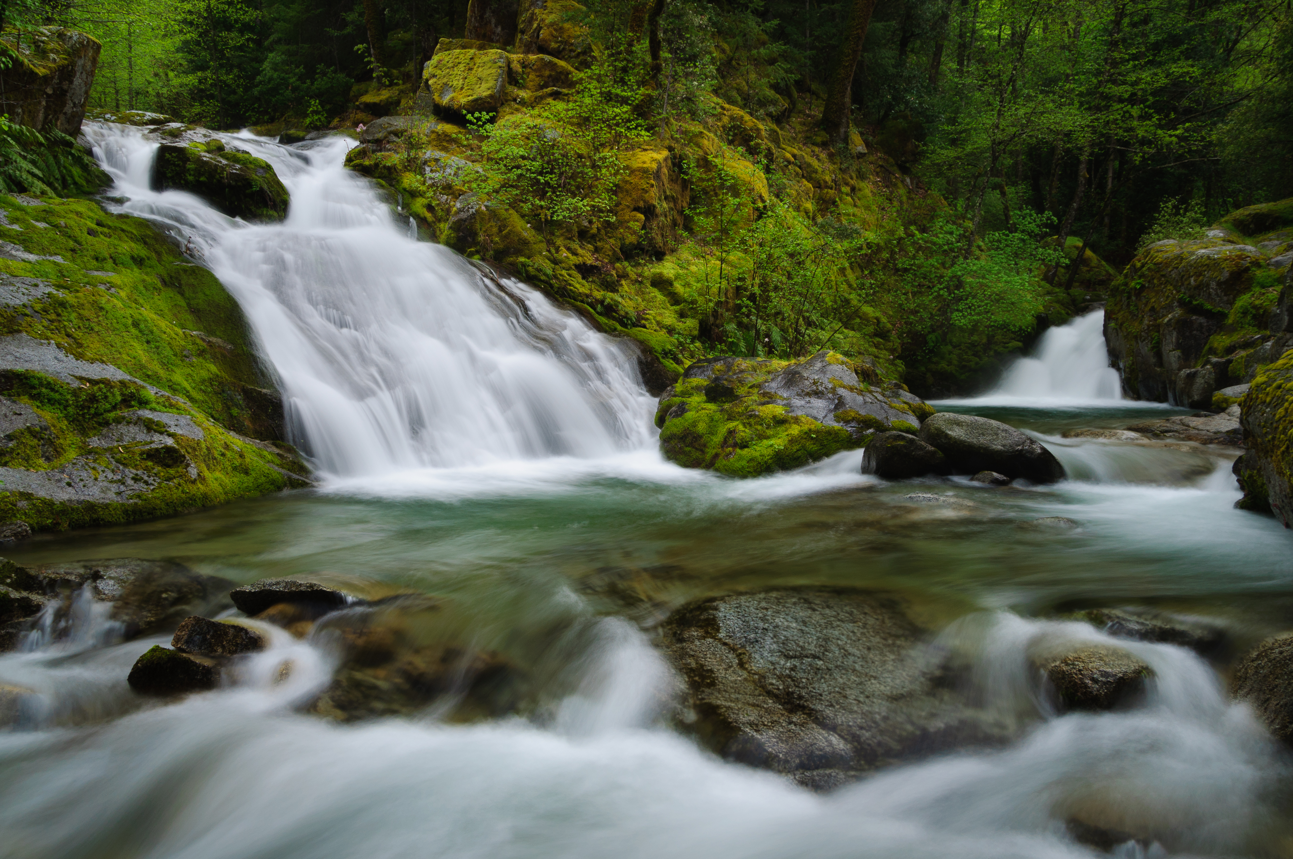
Lower Brand Creek Falls (Been a Long Time Coming)
Brandy Creek (Least Expectations)
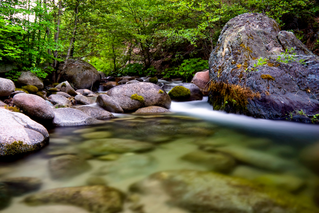
Salmon in Brandy Creek
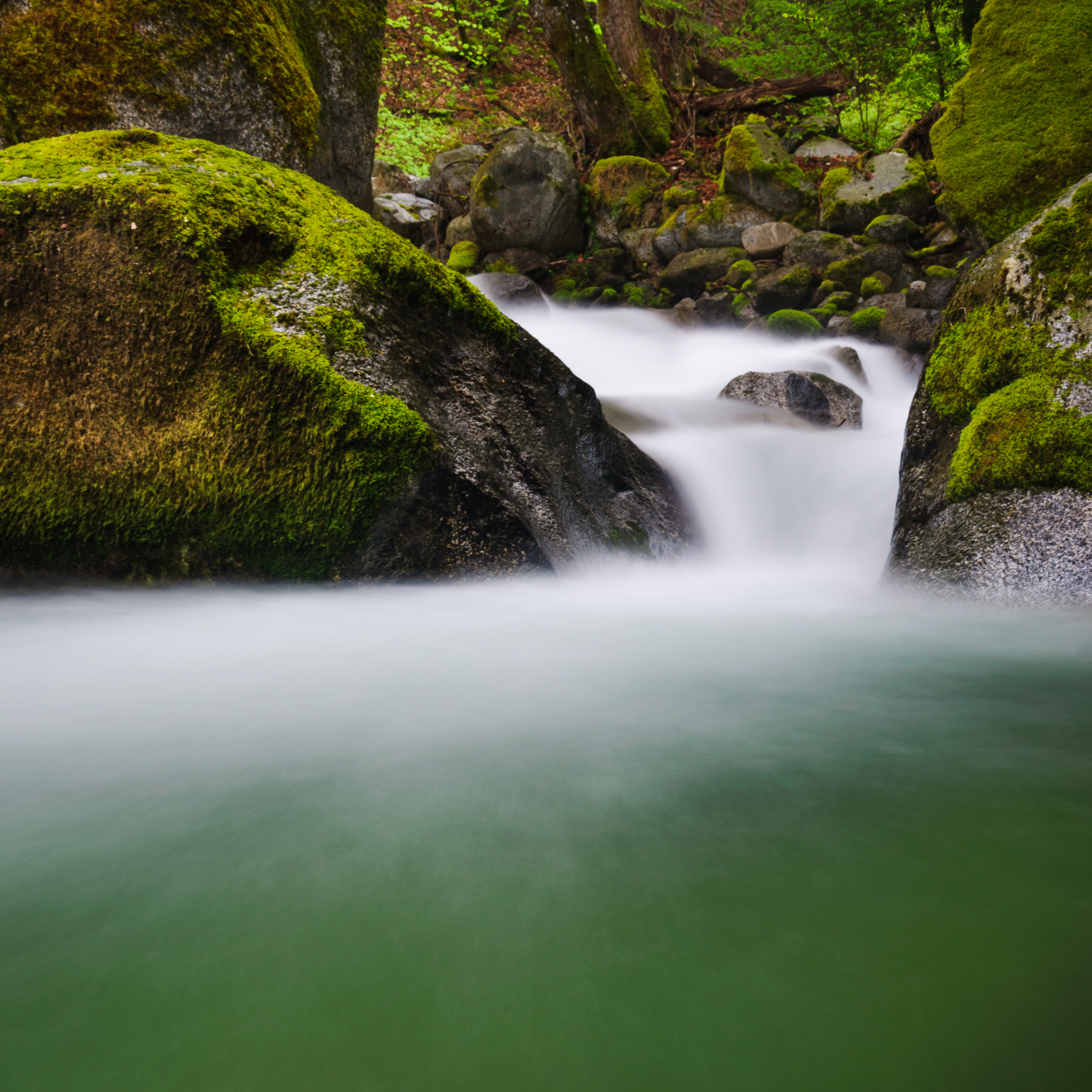
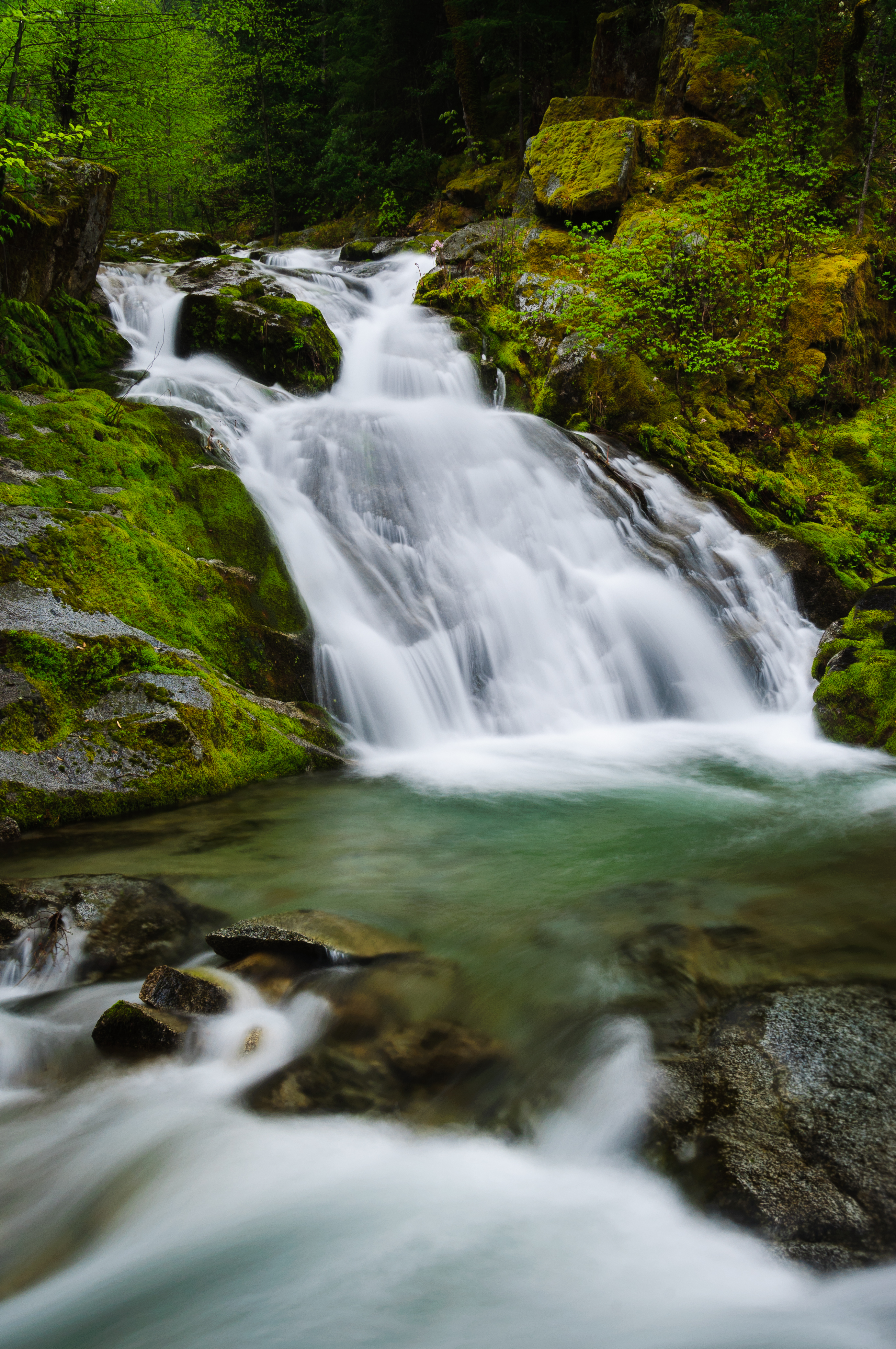
Brandy Creek
Clear Creek
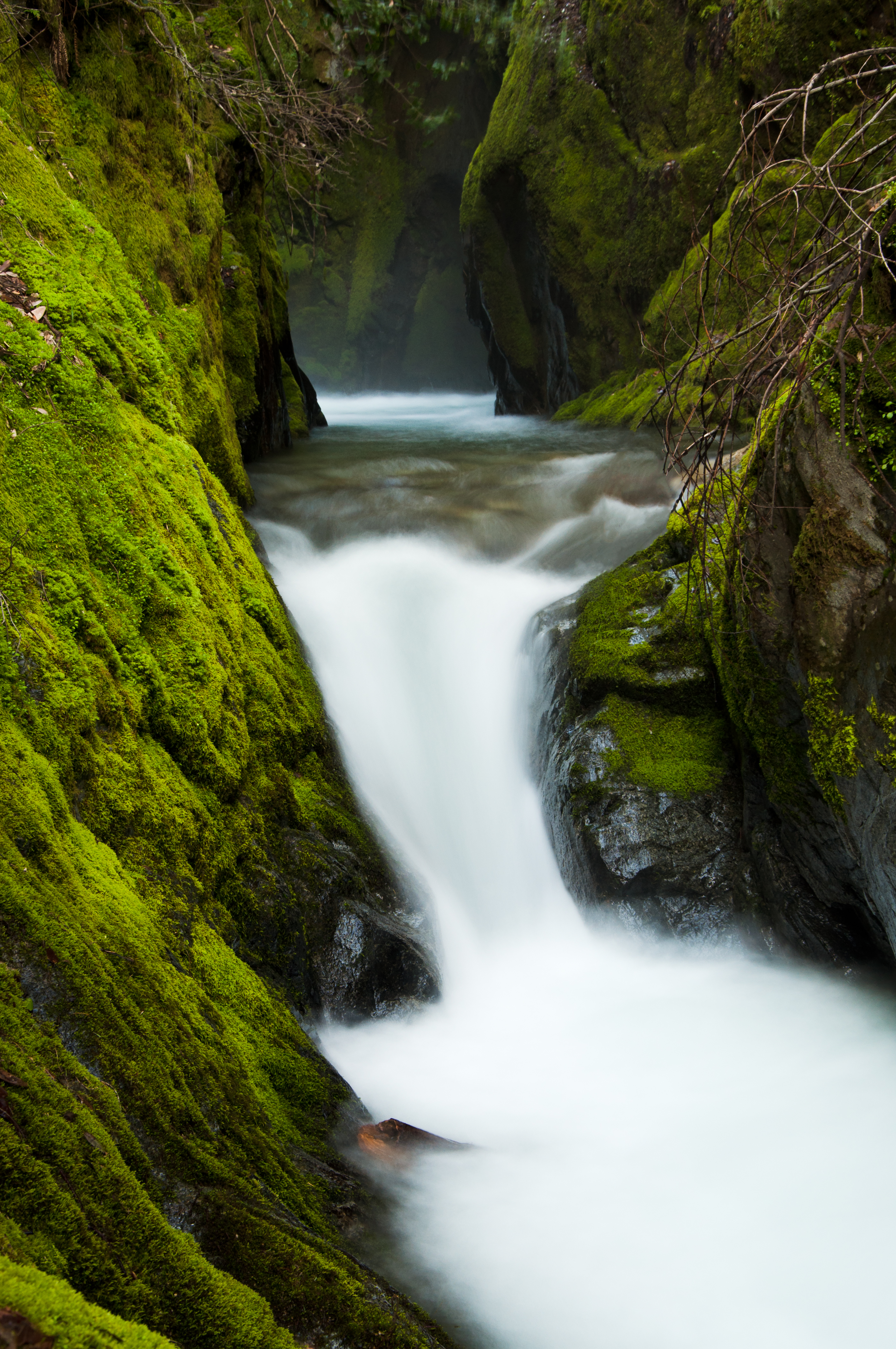
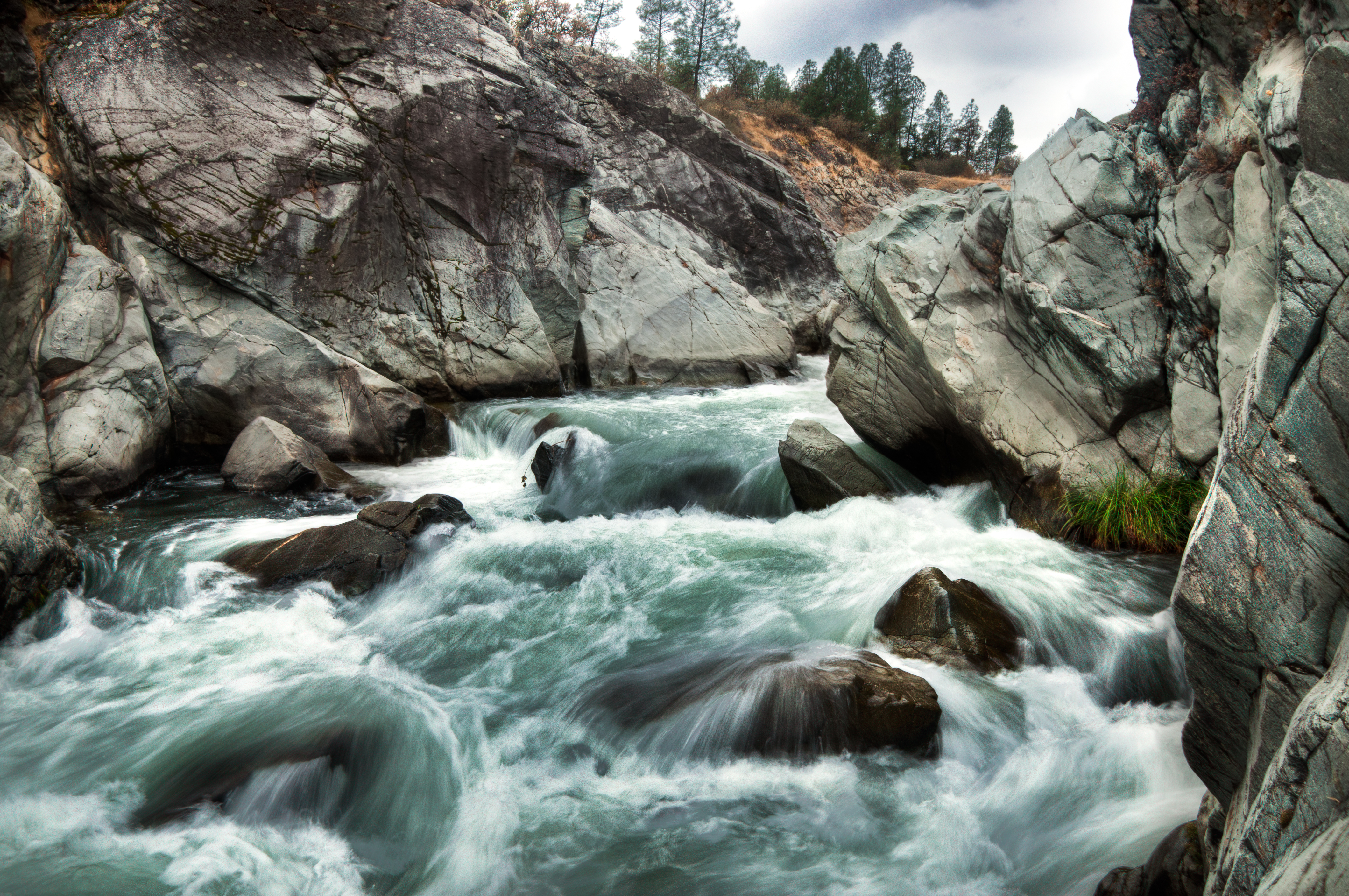
Rich Gulch Falls (Bloomed for You)
Topographic Map of Deer Hollow Ct, Redding, CA, USA
Find elevation by address:

Places near Deer Hollow Ct, Redding, CA, USA:
7925 Deer Hollow Ct
16091 Texas Springs Rd
8213 Kramer Ct
15957 Montgomery Ranch Rd
15819 Texas Springs Rd
8309 Muscat Ct
15711 Texas Springs Rd
Redding, CA, USA
15140 Diggins Way
Grant
8926 Sadawa Ln
18091 Texas Springs Rd
20091 Texas Springs Rd
Mirage Court
15068 Diggins Way
15068 Diggins Way
15068 Diggins Way
Gore Ranch
6438 Heavenly Valley Ln
15022 Middletown Park Dr
Recent Searches:
- Elevation of Congressional Dr, Stevensville, MD, USA
- Elevation of Bellview Rd, McLean, VA, USA
- Elevation of Stage Island Rd, Chatham, MA, USA
- Elevation of Shibuya Scramble Crossing, 21 Udagawacho, Shibuya City, Tokyo -, Japan
- Elevation of Jadagoniai, Kaunas District Municipality, Lithuania
- Elevation of Pagonija rock, Kranto 7-oji g. 8"N, Kaunas, Lithuania
- Elevation of Co Rd 87, Jamestown, CO, USA
- Elevation of Tenjo, Cundinamarca, Colombia
- Elevation of Côte-des-Neiges, Montreal, QC H4A 3J6, Canada
- Elevation of Bobcat Dr, Helena, MT, USA