Elevation of Deer Creek Road, Deer Creek Rd, Huntington, UT, USA
Location: United States > Utah > Emery County >
Longitude: -111.08439
Latitude: 39.384314
Elevation: -10000m / -32808feet
Barometric Pressure: 295KPa
Elevation Map:
Satellite Map:
Related Photos:

View From Top of Steep Hill

View South

View East

View North

Huntington Power Plant

View South Towards an Blocked Road.

Aerial View of Utah near Castle Dale

Lauren Close Up

Huntington Caynon Debris Flow

Abby is Full

Huntington Caynon Debris Flow

Picture of a picture of the debris flow

Steep Hill

Huntington Caynon Debris Flow

trail near Crandall Canyon Mine

Floor and Ceiling
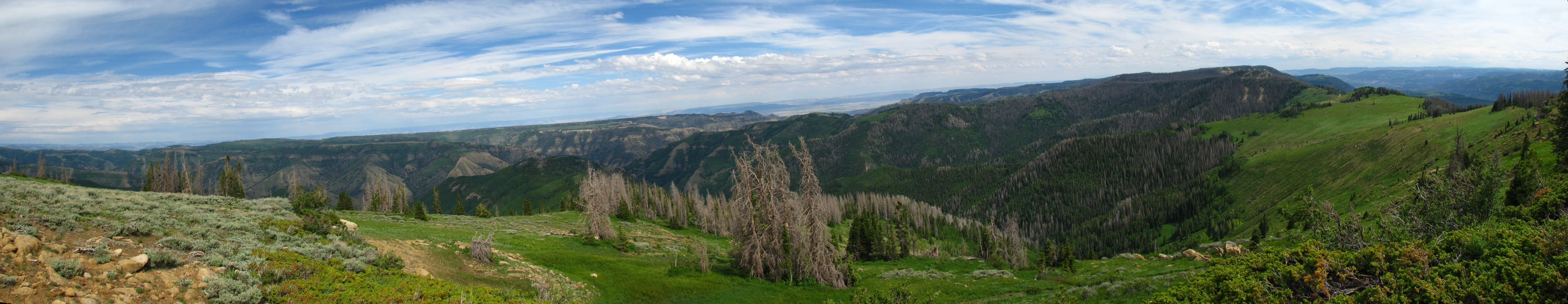
Eastern Pano

Fall Colors

Huntington Power Plant Overview

Huntington Power Plant

Wiberg Coal Mine

Looking Back at the top
Topographic Map of Deer Creek Road, Deer Creek Rd, Huntington, UT, USA
Find elevation by address:

Places near Deer Creek Road, Deer Creek Rd, Huntington, UT, USA:
Huntington Power Plant
300 Hospital Dr
Carbonville
N W, Price, UT, USA
Price, UT, USA
Price
508 E 500 S
45 S 300 E
Main Street Grill
Spring Canyon
823 Castle Gate Rd
823 Castle Gate Cir
823 Spring Canyon Cir
510 Eastridge Rd
Helper
Wellington
1504 E Coal Creek Rd
Colton
Carbon County
Soldier Summit
Recent Searches:
- Elevation of 6 Rue Jules Ferry, Beausoleil, France
- Elevation of Sattva Horizon, 4JC6+G9P, Vinayak Nagar, Kattigenahalli, Bengaluru, Karnataka, India
- Elevation of Great Brook Sports, Gold Star Hwy, Groton, CT, USA
- Elevation of 10 Mountain Laurels Dr, Nashua, NH, USA
- Elevation of 16 Gilboa Ln, Nashua, NH, USA
- Elevation of Laurel Rd, Townsend, TN, USA
- Elevation of 3 Nestling Wood Dr, Long Valley, NJ, USA
- Elevation of Ilungu, Tanzania
- Elevation of Yellow Springs Road, Yellow Springs Rd, Chester Springs, PA, USA
- Elevation of Rēzekne Municipality, Latvia