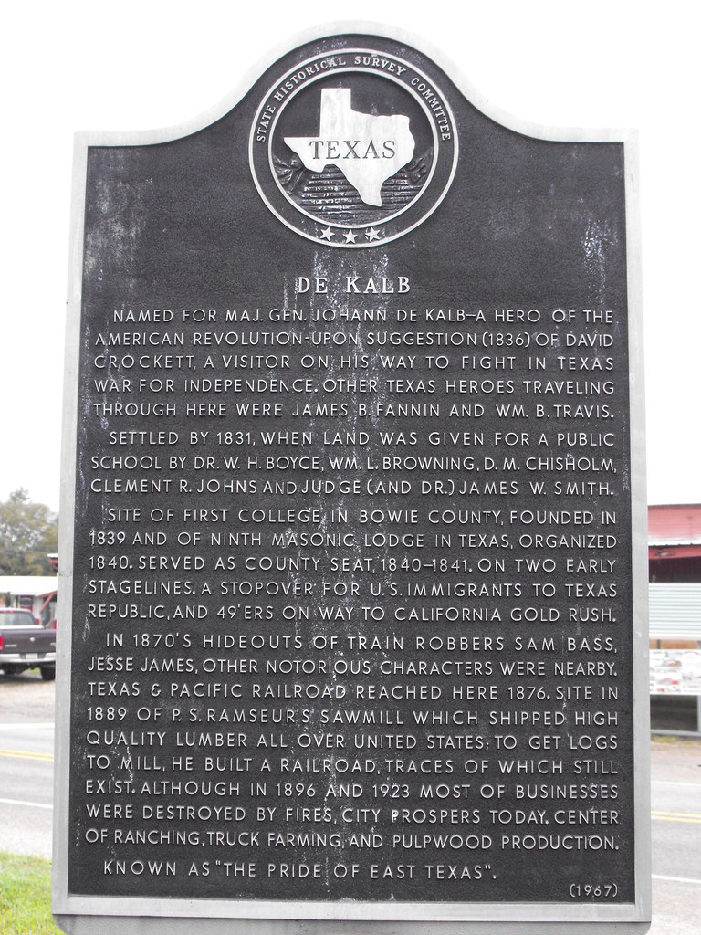
Elevation of De Kalb, TX, USA
Location: United States > Texas > Bowie County >
Longitude: -94.616319
Latitude: 33.5087256
Elevation: 127m / 417feet
Barometric Pressure: 100KPa
Elevation Map:
Satellite Map:
Related Photos:

Texas in the springtime. Damn.

Photo made by Instaweather Free App! @instaweatherpro #instaweather #instaweatherpro #weather #wx #android #simms #unitedstates #day #spring #clouds #hot #us

#bbqtour2012 #memphis #latergram
dsc04448-fixed

dsc04436-fixed

on the road
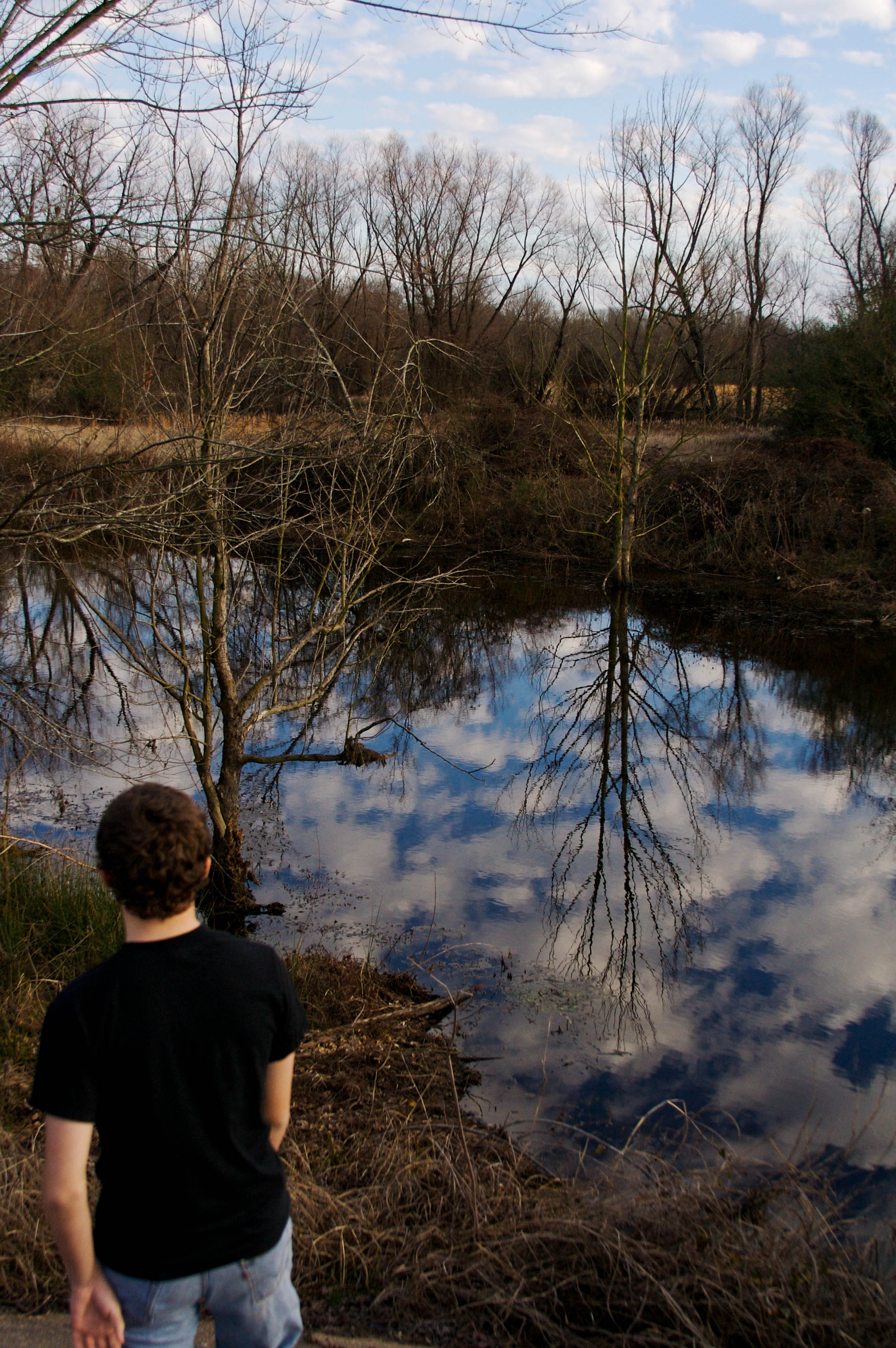
Overlooking Anderson Creek
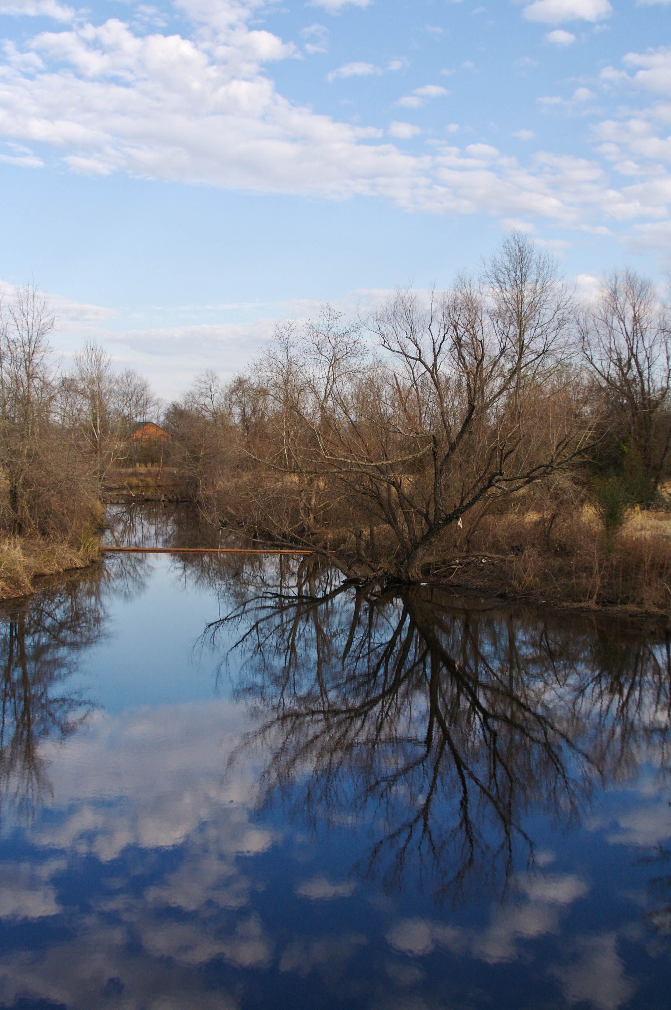
Anderson Creek

Under the Bridge
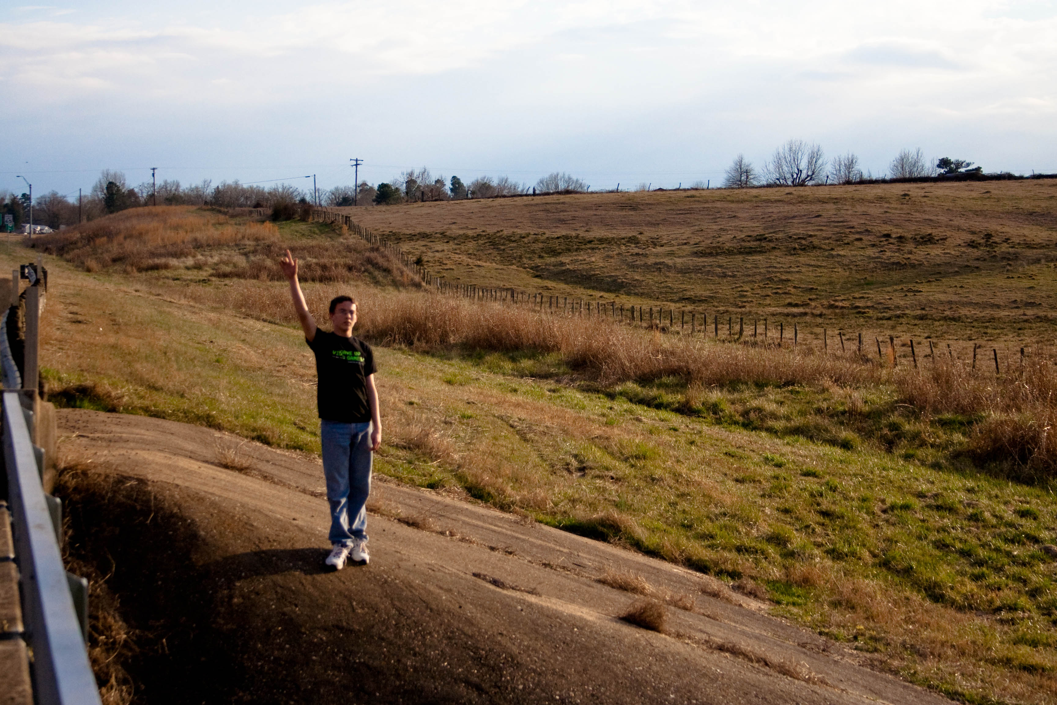
Boy in a Field

Nice to meet you
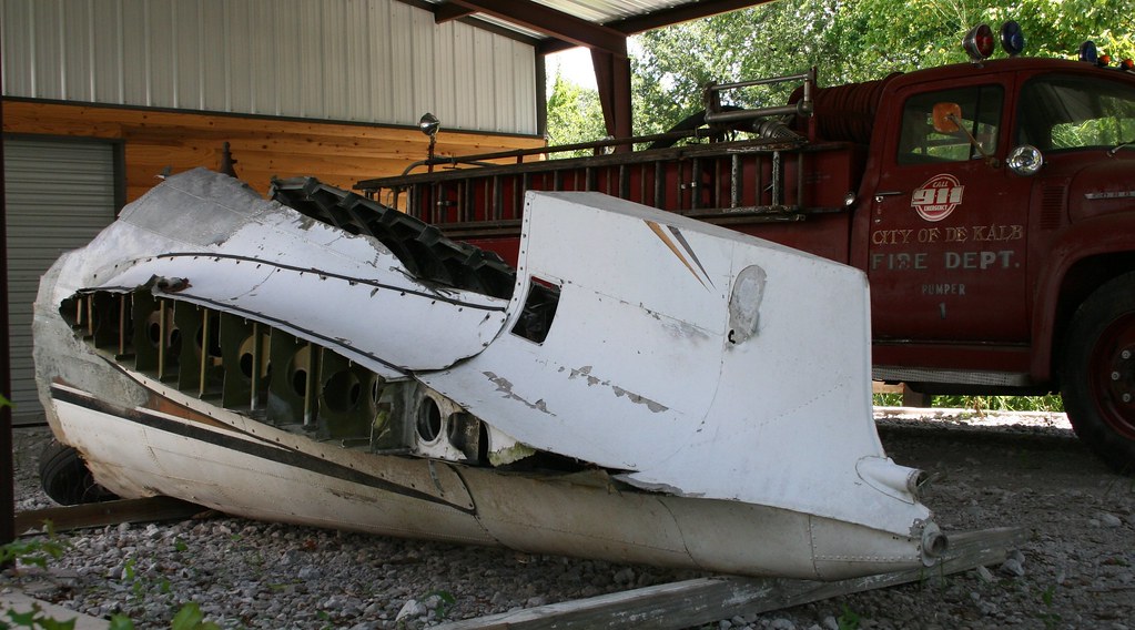
Ricky Nelson's Plane

Dan Blocker
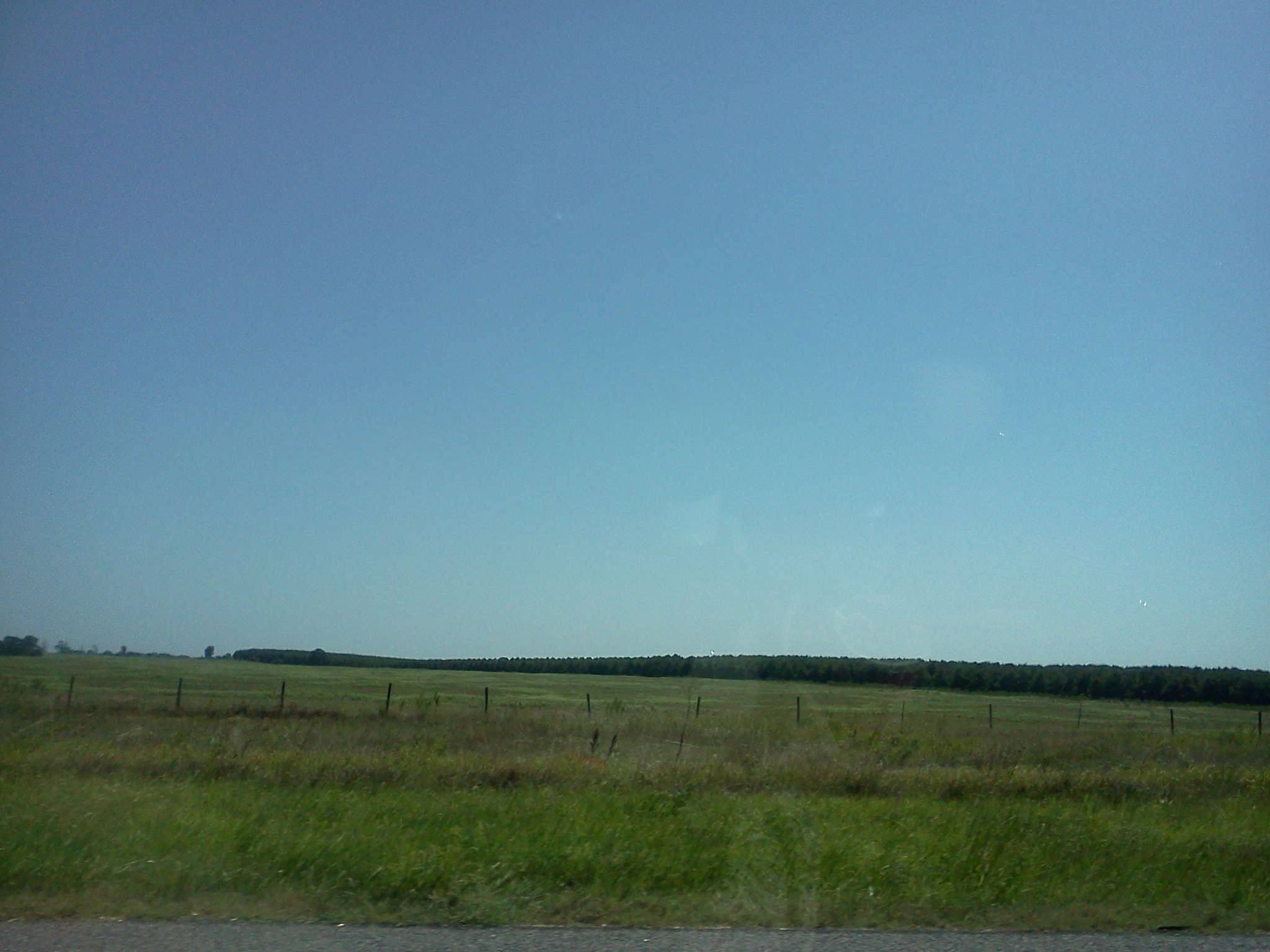
Rural Texas field (Oak Grove)

brewing storm
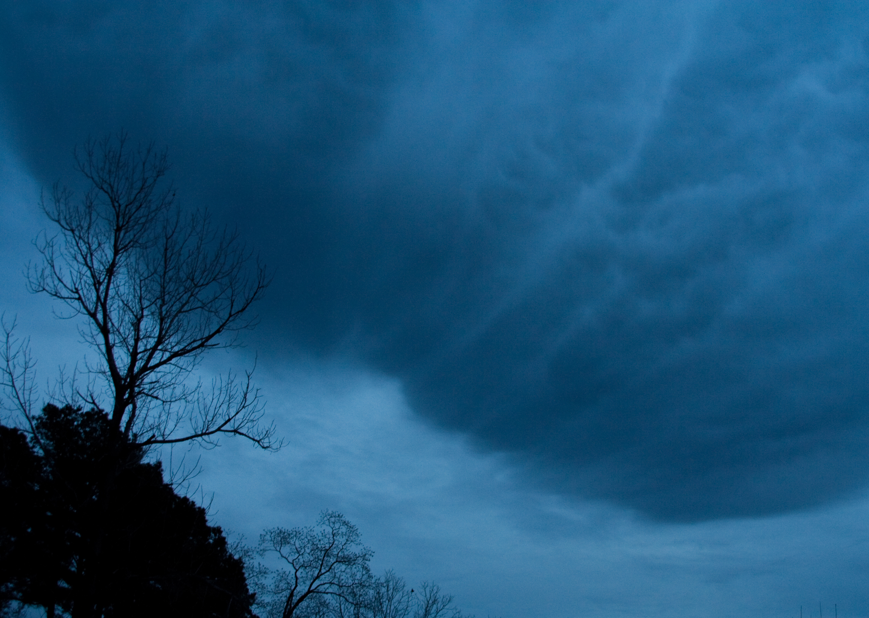
Texas storm
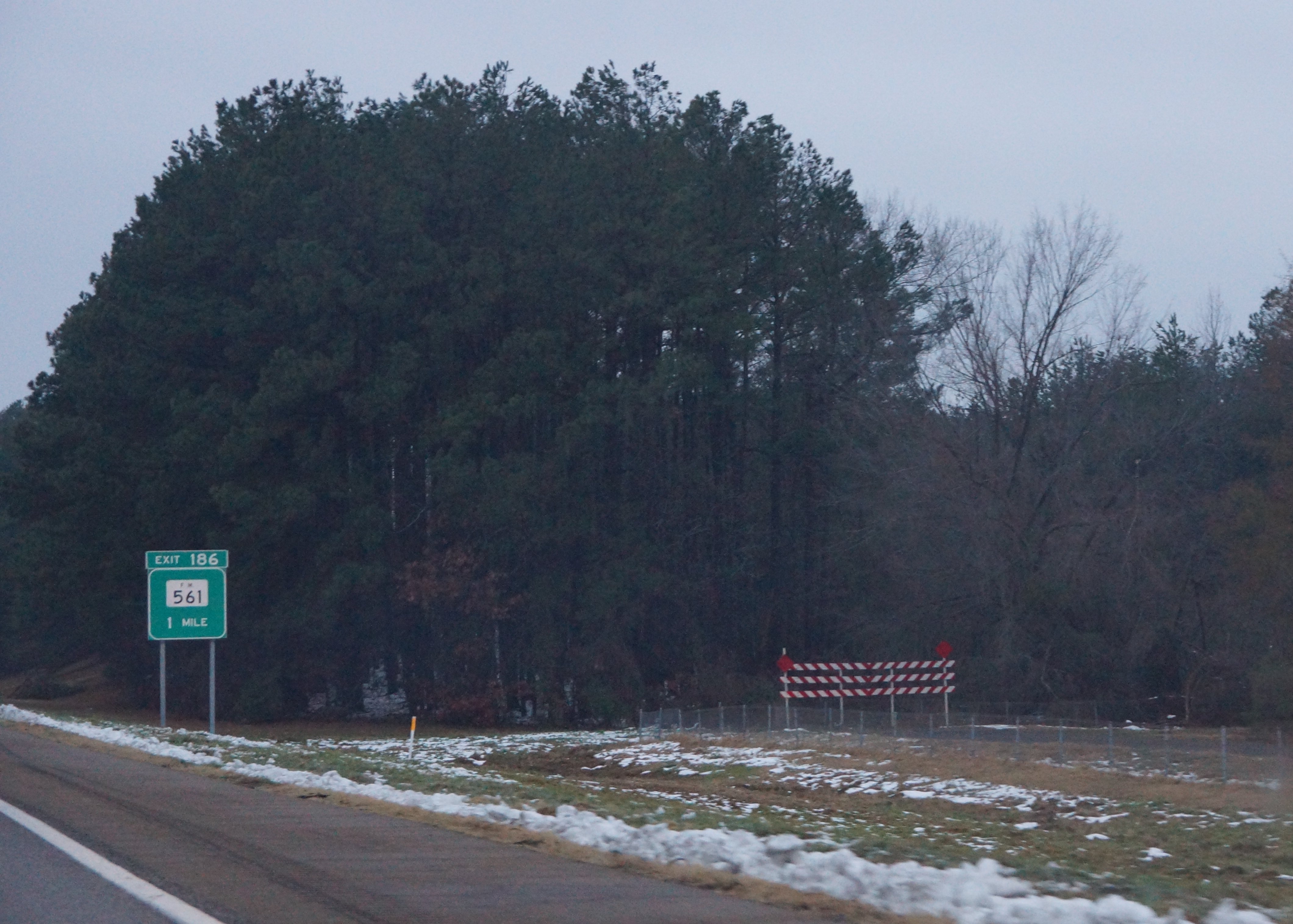
10-15-09 Texarkana Trip 04

10-15-09 Texarkana Trip 03
10-15-09 Texarkana Trip 02

Teen Angst

bag boy
Topographic Map of De Kalb, TX, USA
Find elevation by address:

Places in De Kalb, TX, USA:
Places near De Kalb, TX, USA:
Bowie County
FM 44, Avery, TX, USA
Co Rd, De Kalb, TX, USA
Simms
New Boston
Little River 5, Foreman, AR, USA
US-67, Simms, TX, USA
N, Haworth, OK, USA
Richland Township
100 Armory Rd
5544 Tx-8
Jackson Township
Arkadelphia Baptist Church
100 James Carlow Dr Bldg 412
100 James Carlow Dr Bldg 412
4209 Fm 2149
Schuman St, Foreman, AR, USA
Foreman
AR-32, Foreman, AR, USA
200 Rex Ave
Recent Searches:
- Elevation of Corso Fratelli Cairoli, 35, Macerata MC, Italy
- Elevation of Tallevast Rd, Sarasota, FL, USA
- Elevation of 4th St E, Sonoma, CA, USA
- Elevation of Black Hollow Rd, Pennsdale, PA, USA
- Elevation of Oakland Ave, Williamsport, PA, USA
- Elevation of Pedrógão Grande, Portugal
- Elevation of Klee Dr, Martinsburg, WV, USA
- Elevation of Via Roma, Pieranica CR, Italy
- Elevation of Tavkvetili Mountain, Georgia
- Elevation of Hartfords Bluff Cir, Mt Pleasant, SC, USA