Elevation of Dayton, WA, USA
Location: United States > Washington > Columbia County >
Longitude: -117.97243
Latitude: 46.3237525
Elevation: 506m / 1660feet
Barometric Pressure: 95KPa
Elevation Map:
Satellite Map:
Related Photos:

Waitsburg Ruins

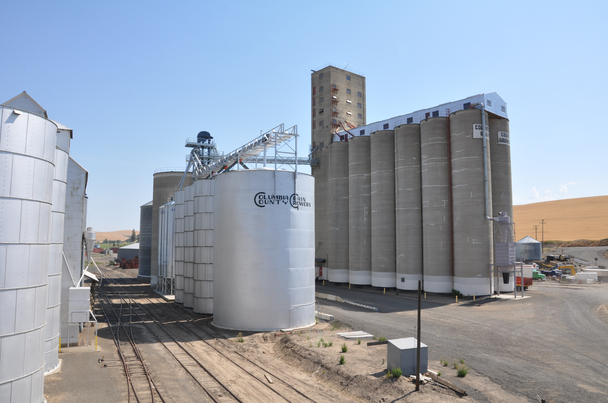
View of the old Grain Elevator at Springacres Ranch, Waitsburg, WA

The view from where I'm staying.
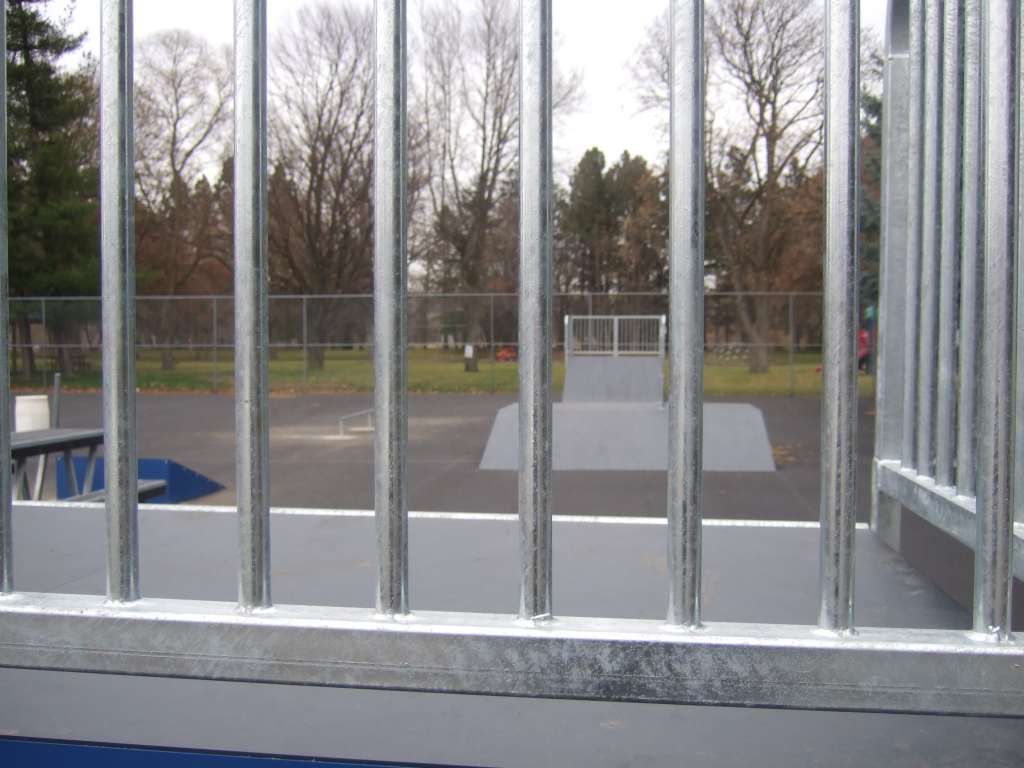
view from quarter pipe

MappingMainStreet_DaytonWA-60
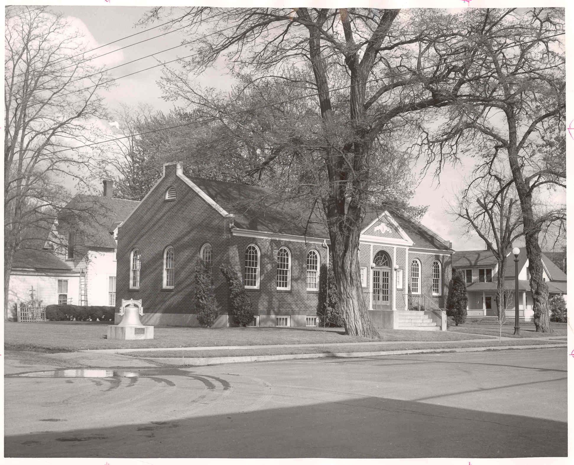
Library Exterior, pre-1974
MappingMainStreet_DaytonWA-56

Columbia County Rural Library District, 2008

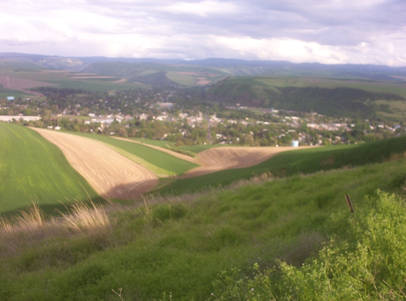
Waitsburg view
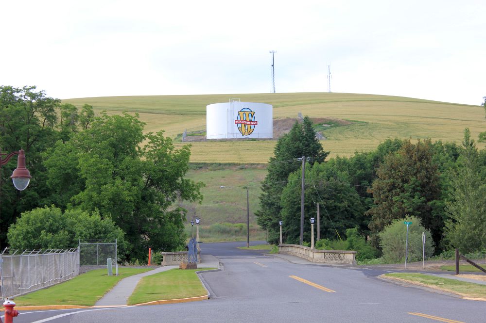
Waitsburg view 2

Waitsburg view

What A Day

Entry to the Fields

Fields of Canola
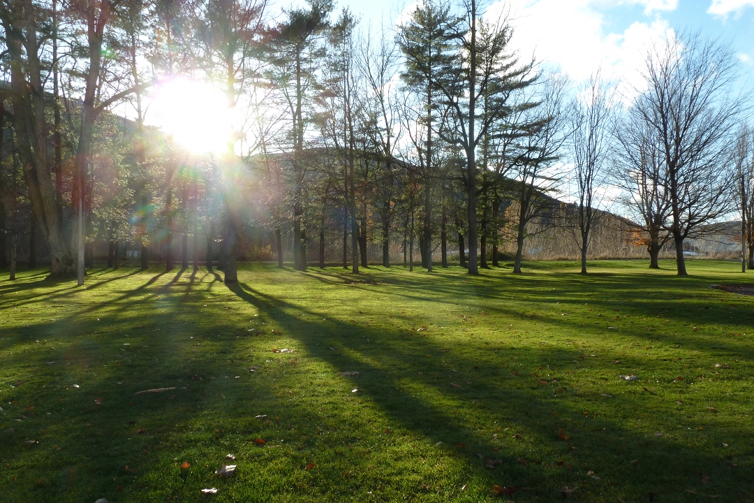
park shadows

Patit Creek Campsite

Beauty of Palouse
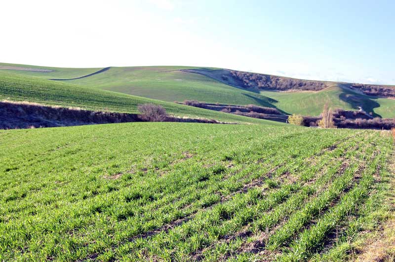
Spring Wheat
Patit Creek Campsite, Dayton, WA

Patit Creek Campsite
Rafting Lower Salmon 20120721-062.jpg
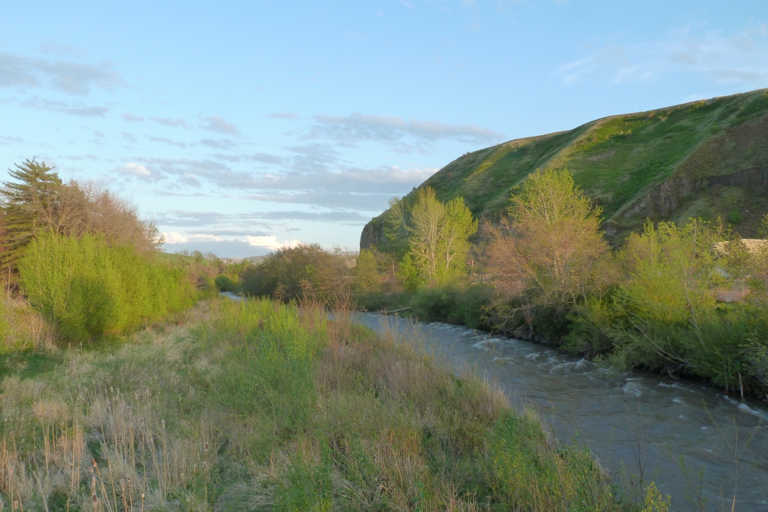
touchet river - rock hill

Patit Creek Campsite
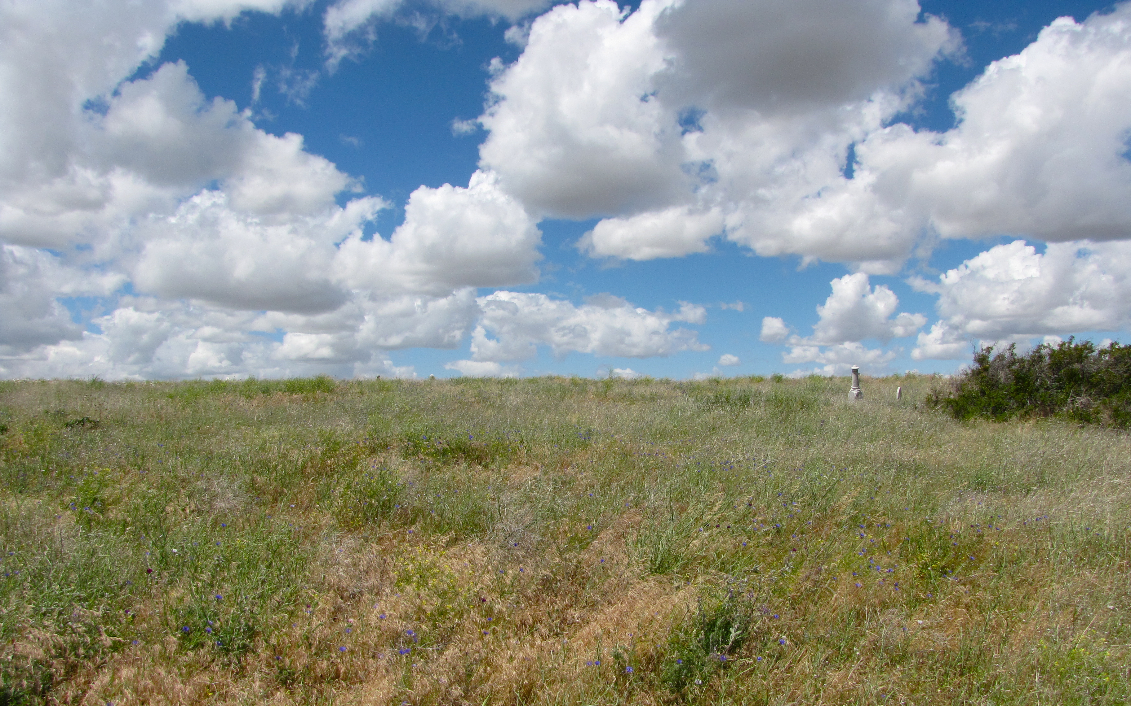
turner cemetery (wa)
home town
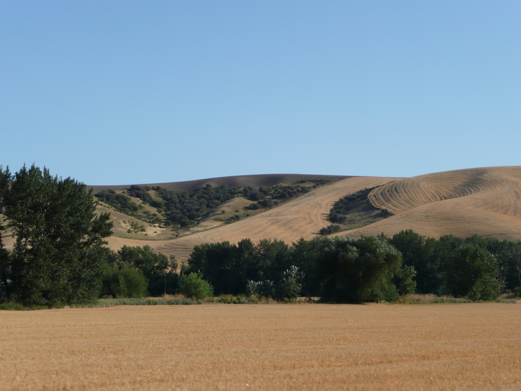
Palouse 6

Walking the Tracks
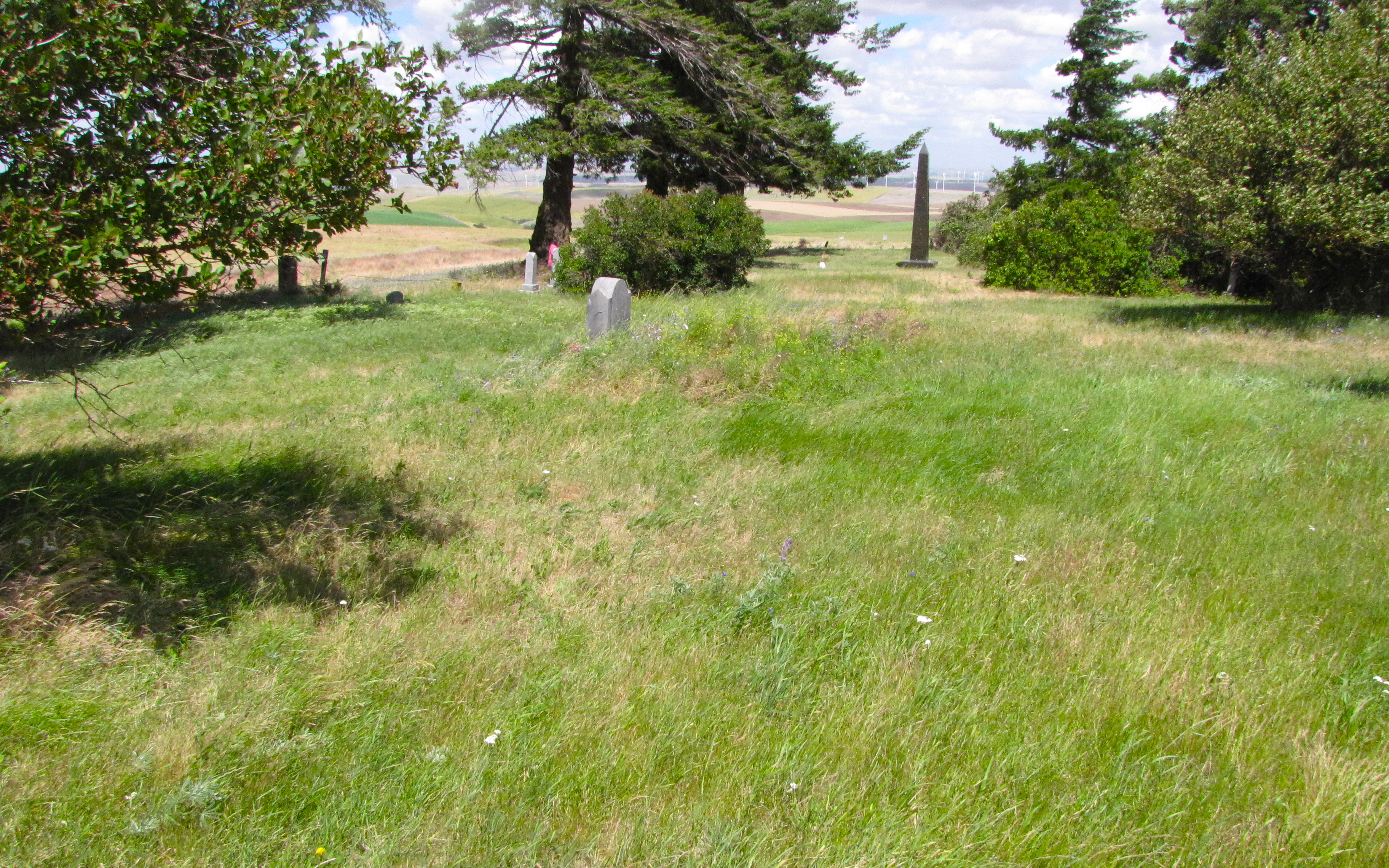
covello cemetery

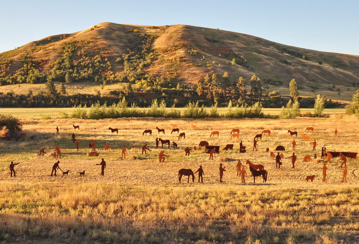
The Lewis and Clark party on the way east
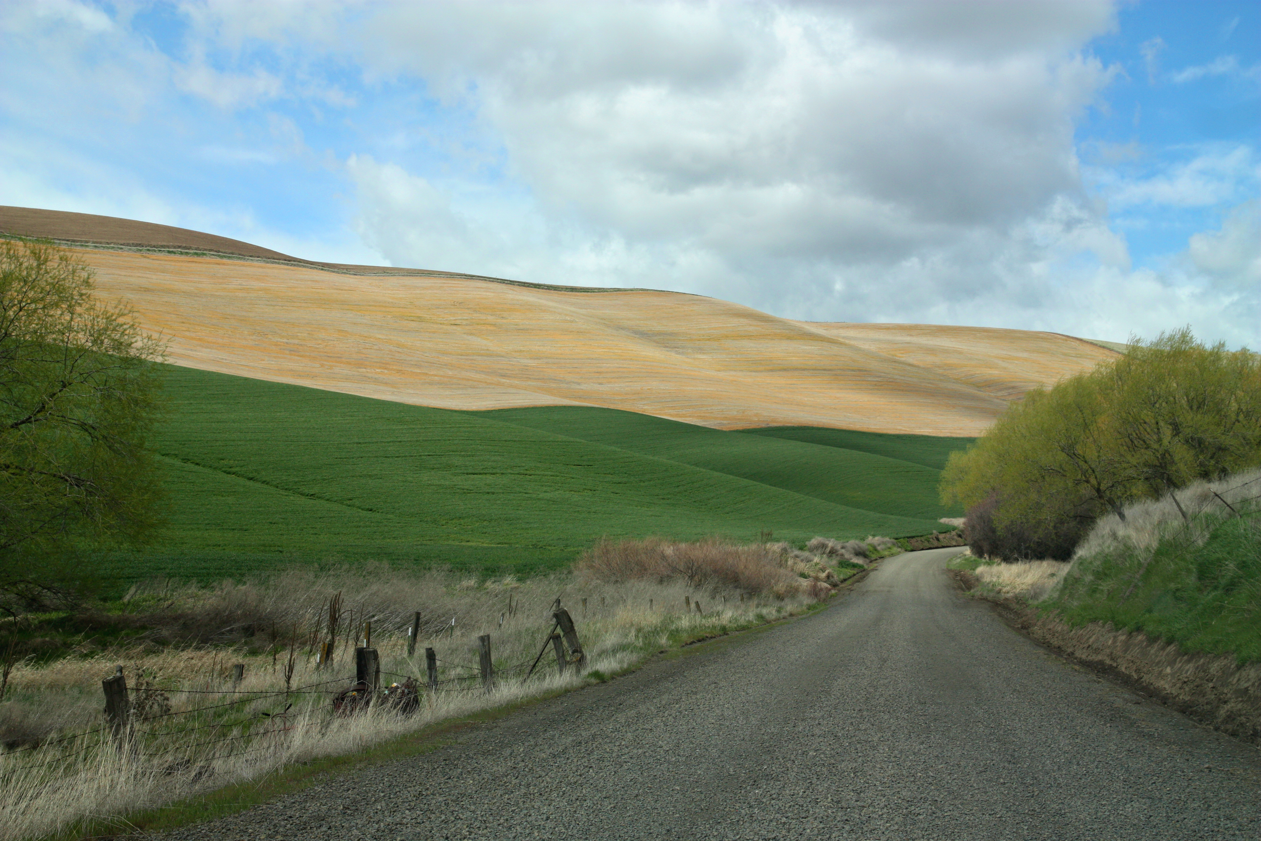
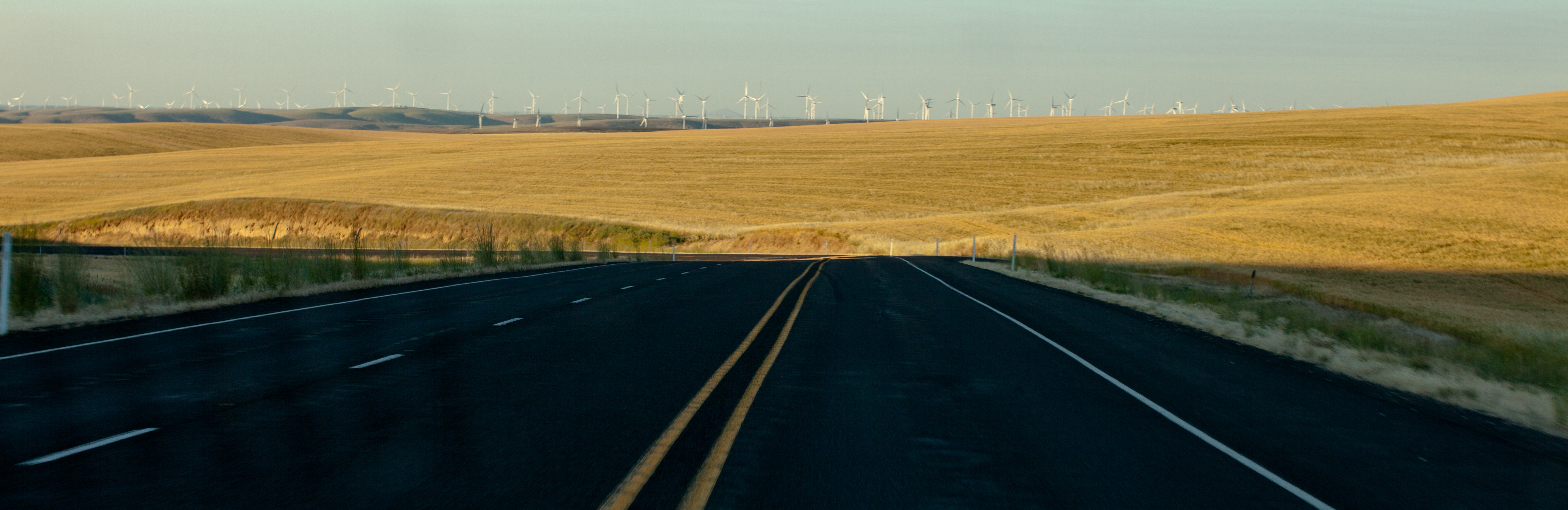
Country road

bicycle crop circle
Topographic Map of Dayton, WA, USA
Find elevation by address:

Places in Dayton, WA, USA:
Places near Dayton, WA, USA:
108 Patit Rd
108 Patit Rd
108 Patit Rd
615 E Patit St
722 E Dayton Ave
513 E Washington Ave
402 E Patit Ave
307 E Main St
318 E Patit Ave
312 E Patit Ave
317 E Patit Ave
311 E Patit Ave
314 E Patit St
307 E Patit Ave
306 E Patit St
303 E Patit Ave
298 E Patit St
217 E Patit Ave
210 E Patit Ave
102 W Patit Ave
Recent Searches:
- Elevation of Corso Fratelli Cairoli, 35, Macerata MC, Italy
- Elevation of Tallevast Rd, Sarasota, FL, USA
- Elevation of 4th St E, Sonoma, CA, USA
- Elevation of Black Hollow Rd, Pennsdale, PA, USA
- Elevation of Oakland Ave, Williamsport, PA, USA
- Elevation of Pedrógão Grande, Portugal
- Elevation of Klee Dr, Martinsburg, WV, USA
- Elevation of Via Roma, Pieranica CR, Italy
- Elevation of Tavkvetili Mountain, Georgia
- Elevation of Hartfords Bluff Cir, Mt Pleasant, SC, USA