Elevation of Dayflower Dr, Longs, SC, USA
Location: United States > South Carolina > Horry County > Longs >
Longitude: -78.710485
Latitude: 33.8757325
Elevation: 10m / 33feet
Barometric Pressure: 101KPa
Elevation Map:
Satellite Map:
Related Photos:

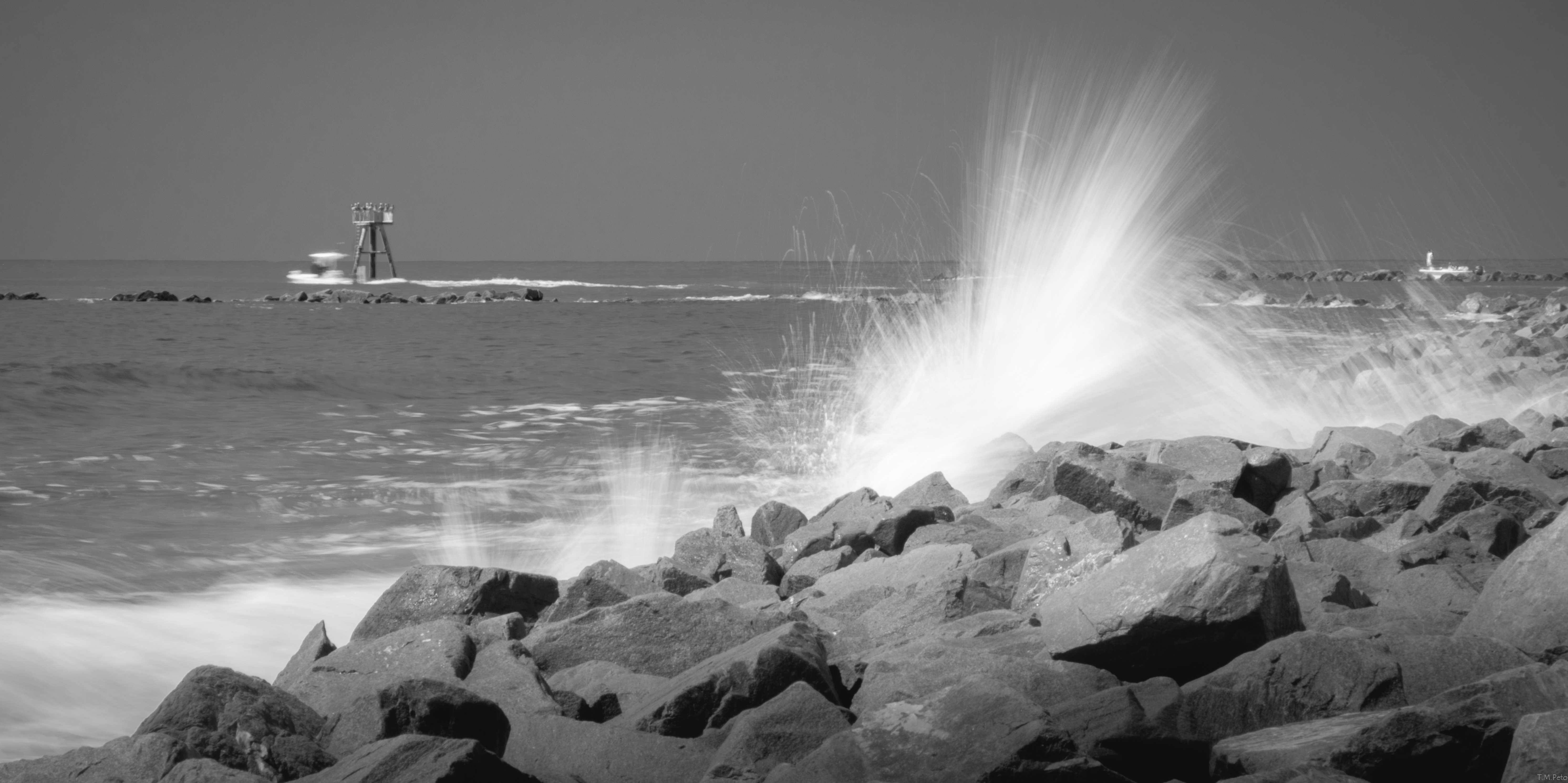
A wave crashes along the NC/SC boundary

Morning at the Pier
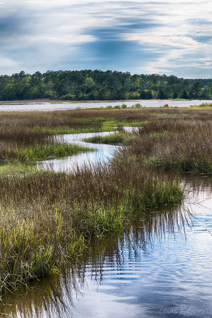
LK_20120520_0028-sm
LK_20170408_0170_HDR-sm

Great way to start the day #sunrise

Cold day on the #beach is better than a day at work.

Beach gallery-1

Under the Pier
#baywatch #myrtlebeach #vacation

Cherry Grove Pier

2011-10-30-Myrtle-299

Coquina Harbor

"Super" moon on May 5, 2012
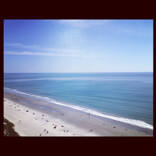
Looking North @NMB
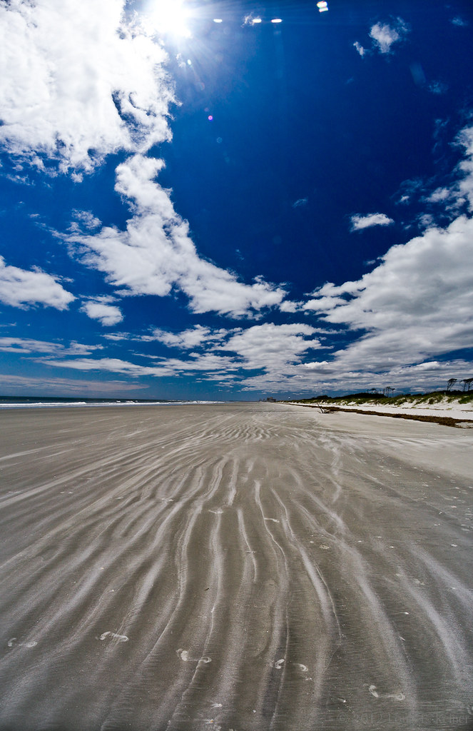
The shore

Ha ha drainage system.
North Myrtle
SOUTHERN COMFORT
House of Blues
Bird Island, Little River Inlet

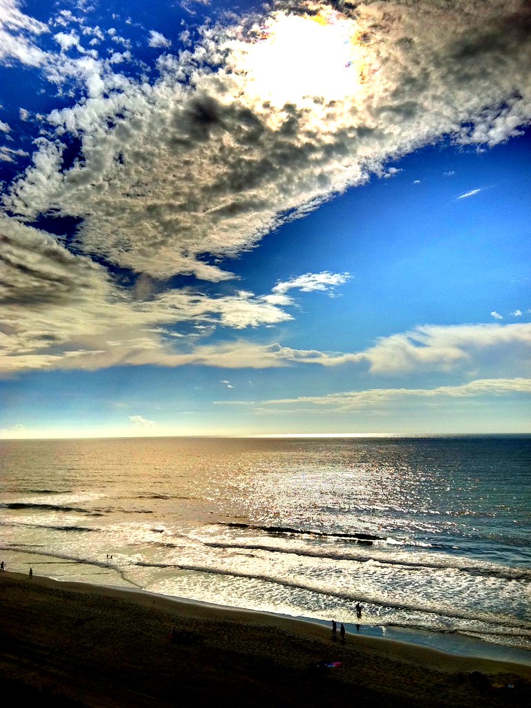
The morning blues again...
Topographic Map of Dayflower Dr, Longs, SC, USA
Find elevation by address:

Places near Dayflower Dr, Longs, SC, USA:
717 Dayflower Dr
1059 Snowberry Dr
693 Dayflower Dr
693 Dayflower Dr
Duckweed Drive
2008 Duckweed Dr
924 Leather Leaf Ln
969 Snowberry Dr
878 Snowberry Dr
950 State Hwy 57 S
2104 Sunny Heights Rd
1283 State Hwy 57 S
2109 Bell Rd
10210 Sc-90
9563 Sc-90
Wampee
Wampee
Champions Boulevard
Champions Boulevard
150 Citizens Cir
Recent Searches:
- Elevation of Gateway Blvd SE, Canton, OH, USA
- Elevation of East W.T. Harris Boulevard, E W.T. Harris Blvd, Charlotte, NC, USA
- Elevation of West Sugar Creek, Charlotte, NC, USA
- Elevation of Wayland, NY, USA
- Elevation of Steadfast Ct, Daphne, AL, USA
- Elevation of Lagasgasan, X+CQH, Tiaong, Quezon, Philippines
- Elevation of Rojo Ct, Atascadero, CA, USA
- Elevation of Flagstaff Drive, Flagstaff Dr, North Carolina, USA
- Elevation of Avery Ln, Lakeland, FL, USA
- Elevation of Woolwine, VA, USA