Elevation of Dawn-Euphemia, ON, Canada
Location: Canada > Ontario > Lambton County >
Longitude: -82.084290
Latitude: 42.7071129
Elevation: 201m / 659feet
Barometric Pressure: 99KPa
Elevation Map:
Satellite Map:
Related Photos:

A Bee's Eye View

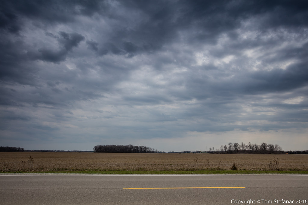
Dusky Highs
Graduated Skies

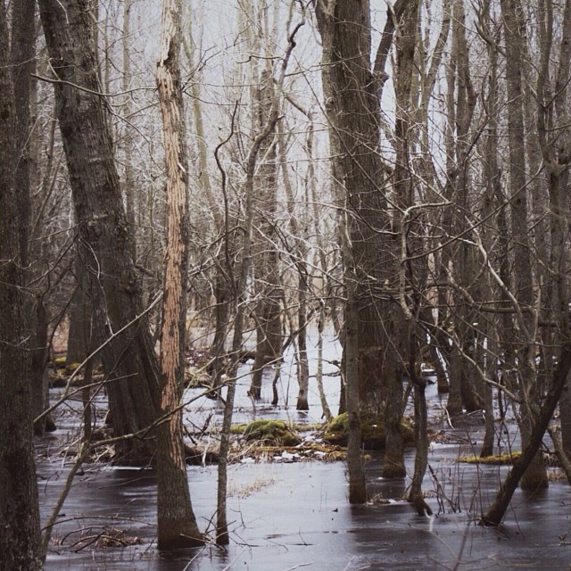
Into the trees // #photography #chathamkent

#latergram... Cleaning out the camera roll :)
Carolinian. #rondeauprovincialpark

Be yourself. Take your own path, and don't ever let someone else try and force you down theirs.

Eating nectar in the sun
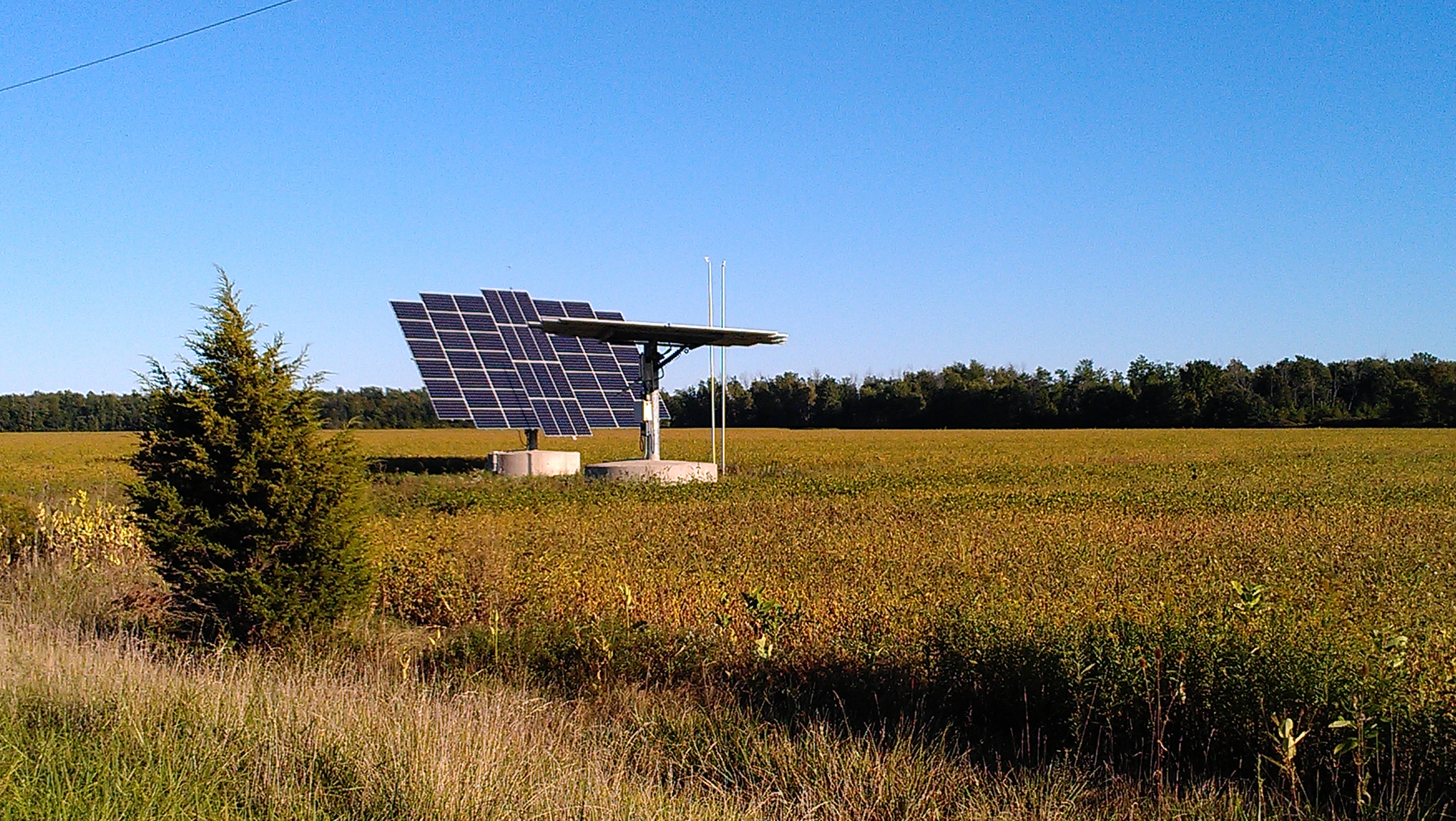
solar panels in canada

solar panels in canada
Topographic Map of Dawn-Euphemia, ON, Canada
Find elevation by address:

Places in Dawn-Euphemia, ON, Canada:
Places near Dawn-Euphemia, ON, Canada:
Bentpath Line, Florence, ON N0P 1R0, Canada
2608 Sheriff St
Oil Springs
Bentpath Line, Dresden, ON N0P 1M0, Canada
Florence
Shetland Rd, Florence, ON N0P 1R0, Canada
Oil City
Shamrock St, Oil City, ON N0N 1N0, Canada
12003 Base Line
Enniskillen
Camden Township
2132 Dobbyn Rd
Dresden
Uncle Tom's Cabin Historic Site
11188 Countryview Line
Emma Street
4005 Henderson Dr
Petrolia
Zone Township
1637 Stanley Line
Recent Searches:
- Elevation of Lampiasi St, Sarasota, FL, USA
- Elevation of Elwyn Dr, Roanoke Rapids, NC, USA
- Elevation of Congressional Dr, Stevensville, MD, USA
- Elevation of Bellview Rd, McLean, VA, USA
- Elevation of Stage Island Rd, Chatham, MA, USA
- Elevation of Shibuya Scramble Crossing, 21 Udagawacho, Shibuya City, Tokyo -, Japan
- Elevation of Jadagoniai, Kaunas District Municipality, Lithuania
- Elevation of Pagonija rock, Kranto 7-oji g. 8"N, Kaunas, Lithuania
- Elevation of Co Rd 87, Jamestown, CO, USA
- Elevation of Tenjo, Cundinamarca, Colombia