Elevation of Dawei, Myanmar (Burma)
Location: Myanmar (burma) > Tanintharyi Region >
Longitude: 98.193961
Latitude: 14.082769
Elevation: 15m / 49feet
Barometric Pressure: 101KPa
Elevation Map:
Satellite Map:
Related Photos:
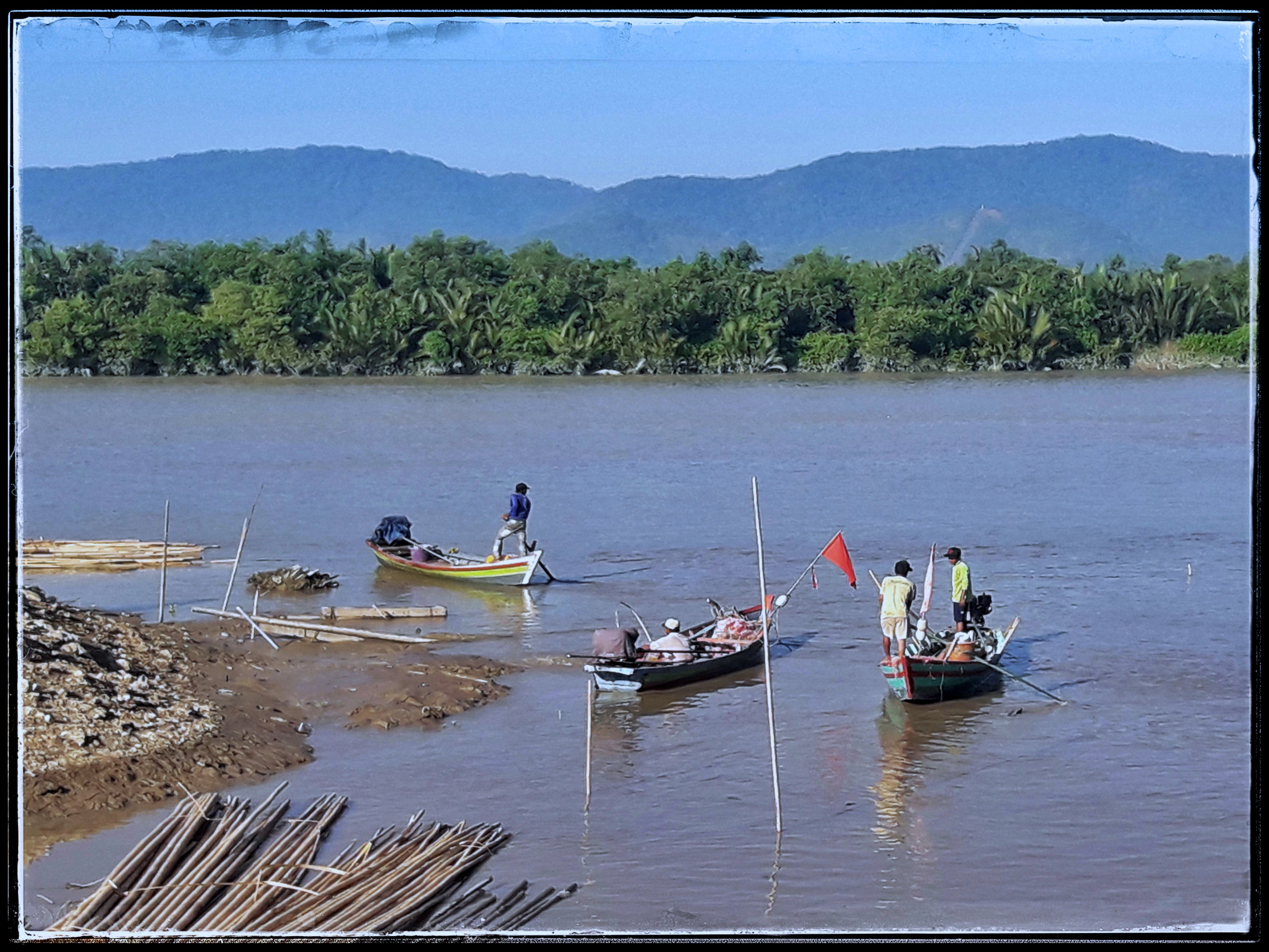
fisher man

Road to Nowhere
Southern end of San Maria Bay in Tanintharyi (Tennasserim) region, near Dawei

Fishing boats looking east of San Maria Bay in Tanintharyi (Tennasserim) region, near Dawei
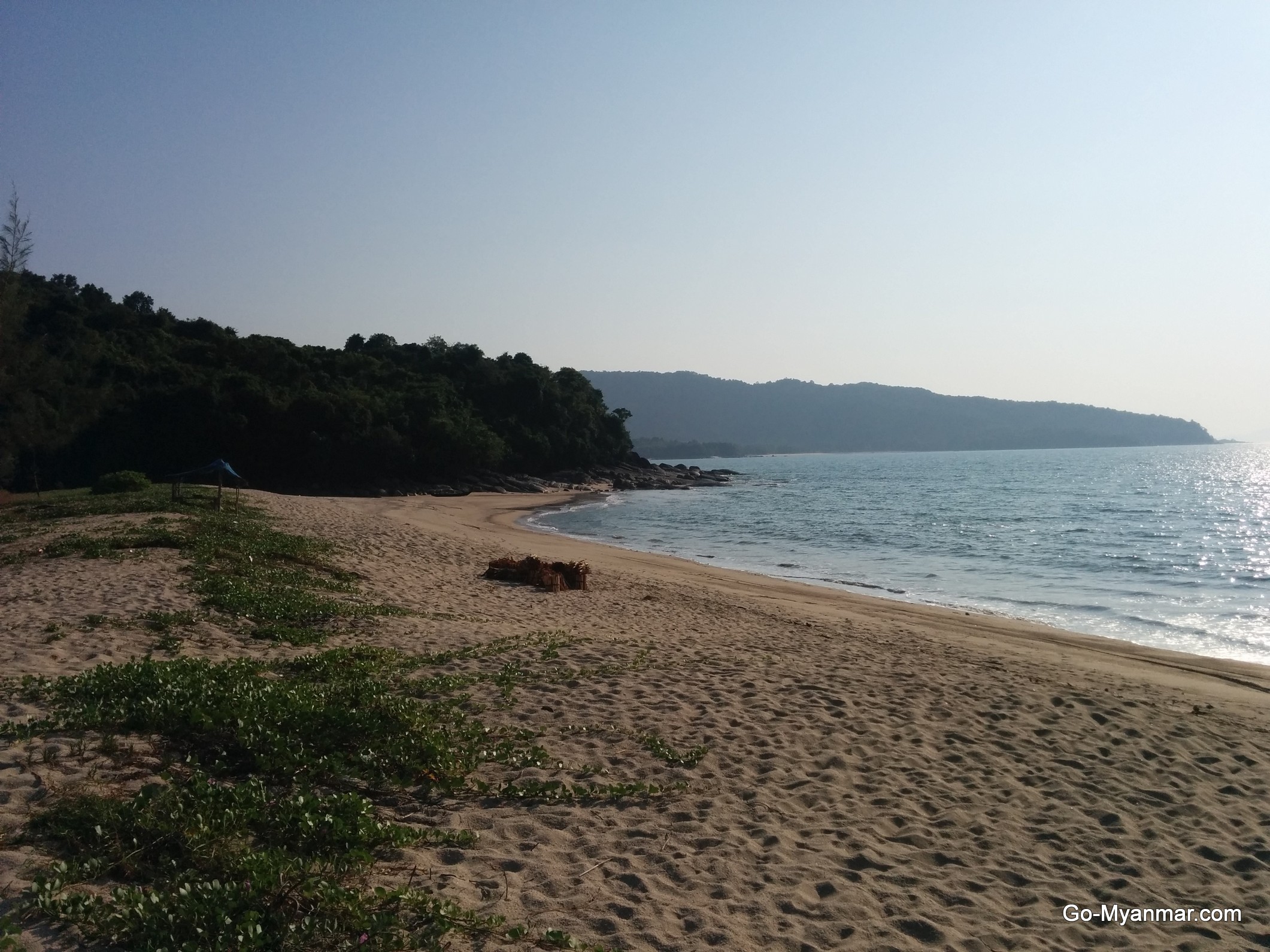
Maungmagan Beach, Myanmar

Maungmagan Beach, Myanmar
Malaysia_tour_17 (23)
pull with skin 1
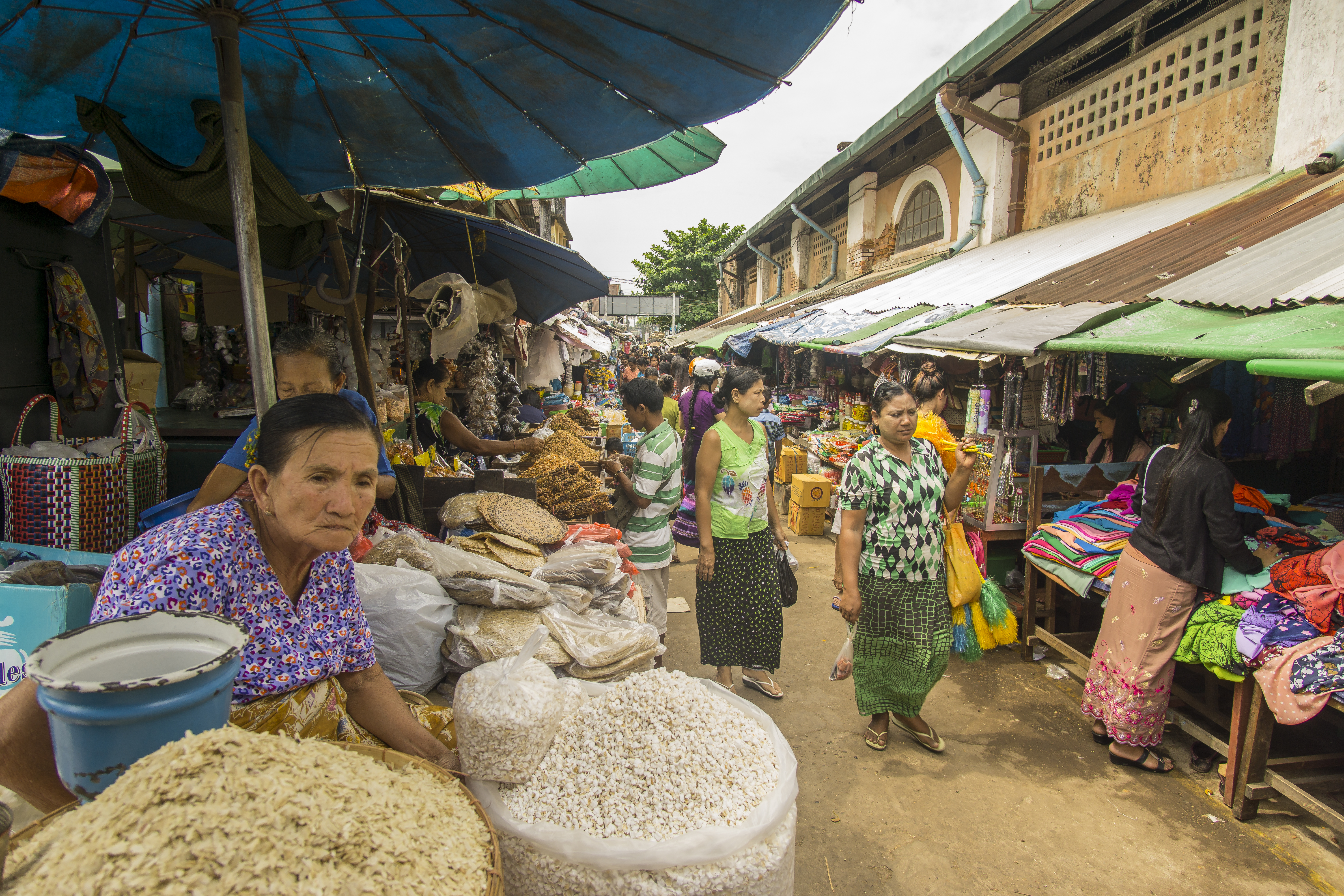
dawei market

Graduation photos - Maungmagan, Myanmar

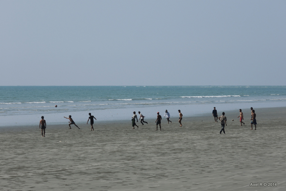
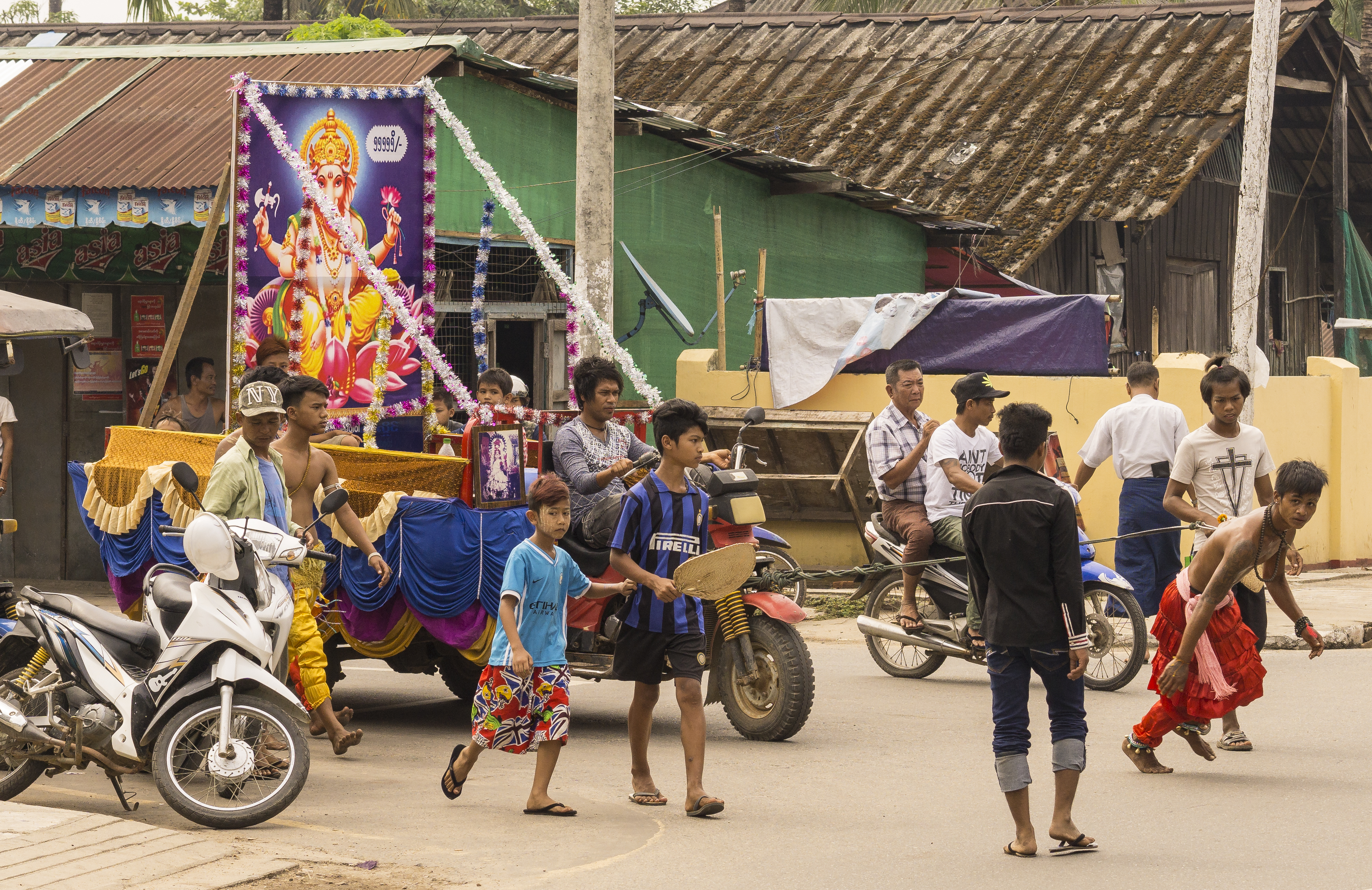
Street Life

2019-03-02_01-22-26

Maungmagan Beach Sunset

Birmanie - Dawei
Myanmar South

Old Friends

Dragon Energy

Russian Free Diver Friend

Boat Parasol

Jungle Island

The Bows

Snorkel & Fishing Trip

Boats out of Water
Topographic Map of Dawei, Myanmar (Burma)
Find elevation by address:

Places near Dawei, Myanmar (Burma):
Recent Searches:
- Elevation of Elwyn Dr, Roanoke Rapids, NC, USA
- Elevation of Congressional Dr, Stevensville, MD, USA
- Elevation of Bellview Rd, McLean, VA, USA
- Elevation of Stage Island Rd, Chatham, MA, USA
- Elevation of Shibuya Scramble Crossing, 21 Udagawacho, Shibuya City, Tokyo -, Japan
- Elevation of Jadagoniai, Kaunas District Municipality, Lithuania
- Elevation of Pagonija rock, Kranto 7-oji g. 8"N, Kaunas, Lithuania
- Elevation of Co Rd 87, Jamestown, CO, USA
- Elevation of Tenjo, Cundinamarca, Colombia
- Elevation of Côte-des-Neiges, Montreal, QC H4A 3J6, Canada