Elevation of Davis County, IA, USA
Location: United States > Iowa >
Longitude: -92.381362
Latitude: 40.6913838
Elevation: 265m / 869feet
Barometric Pressure: 98KPa
Elevation Map:
Satellite Map:
Related Photos:
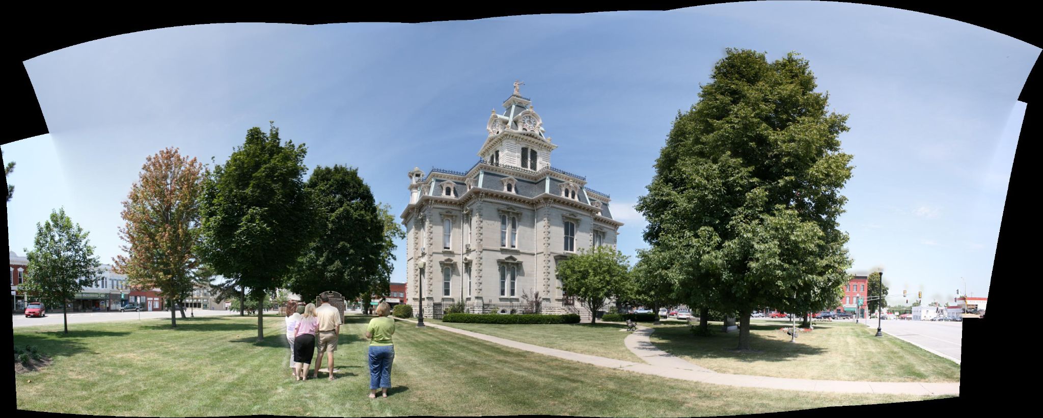
Courthouse Panorama 1

Courthouse Panorama 2
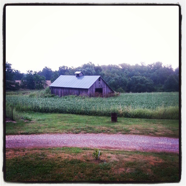
September morning at Nancy's farm

Wanetta Corner survivors
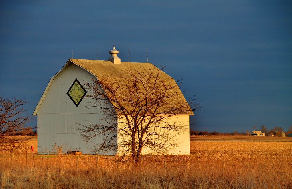
Quilt barn - Davis County, Iowa
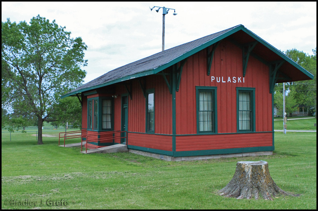
Pulaski Iowa Depot
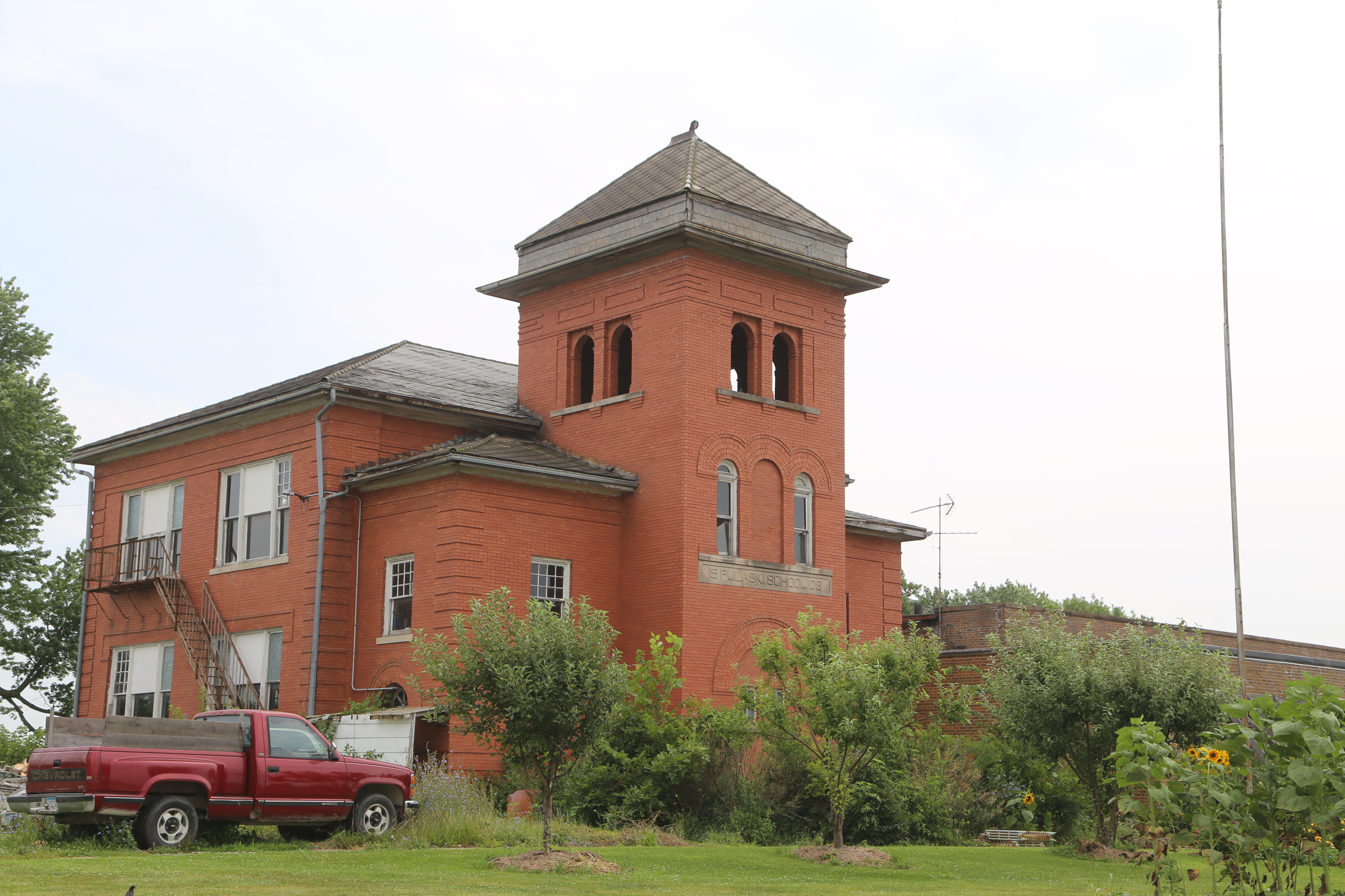
Pulaski Iowa, Davis County IA
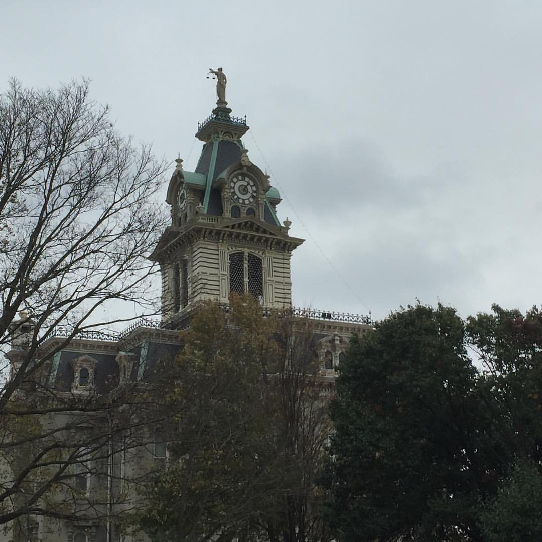
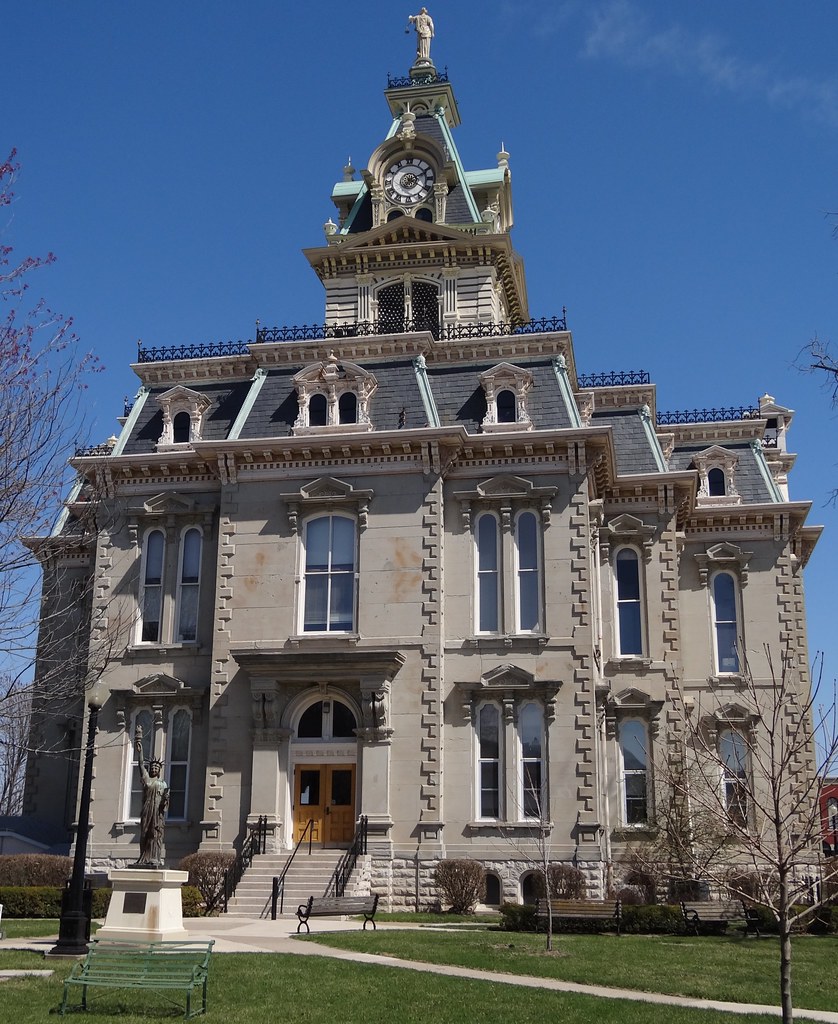
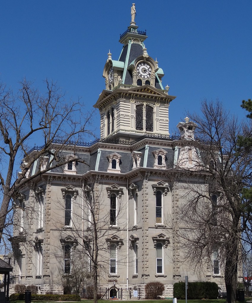
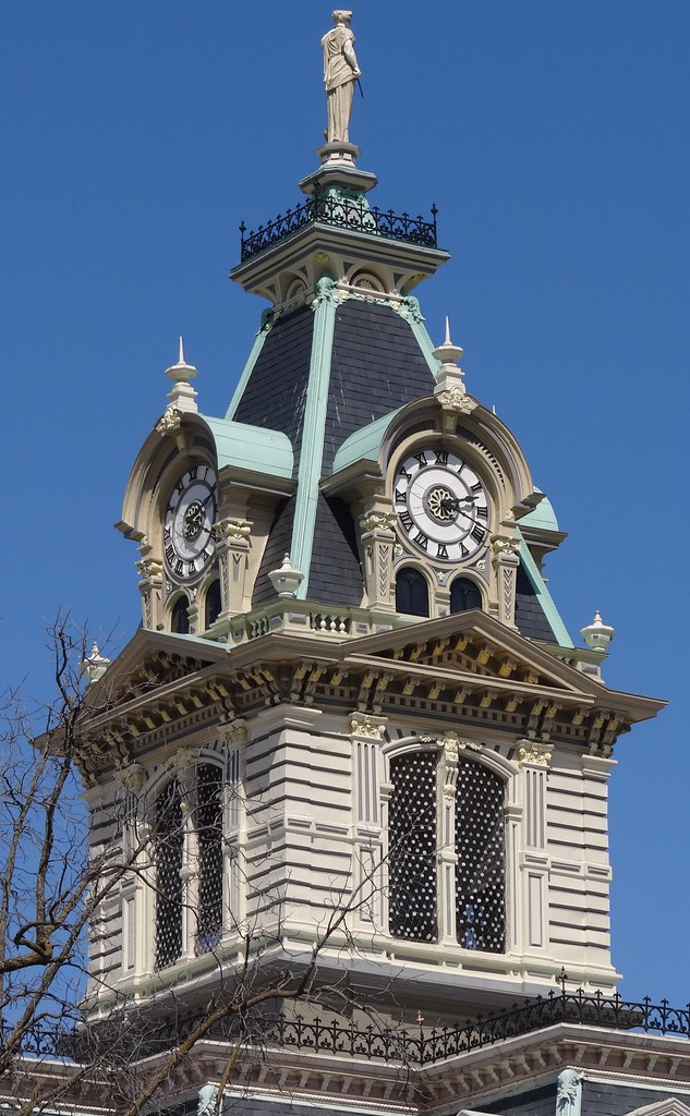
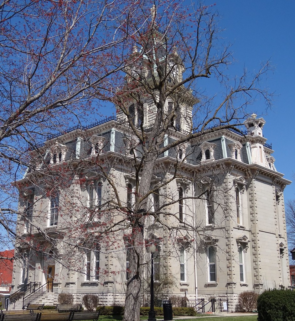
Iowa has some great, historic county courthouses. This is the Davis County Courthouse built in 1877.
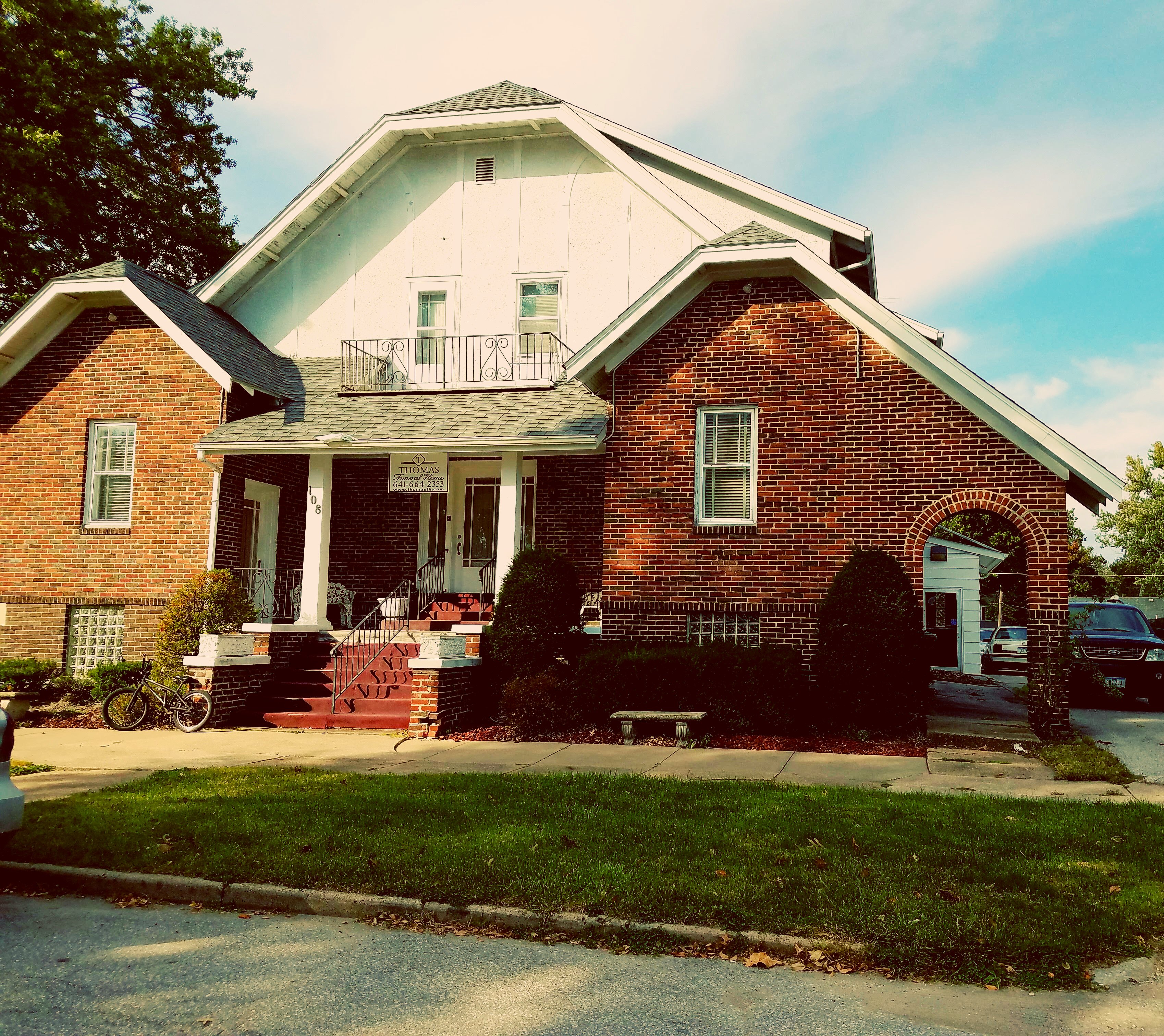
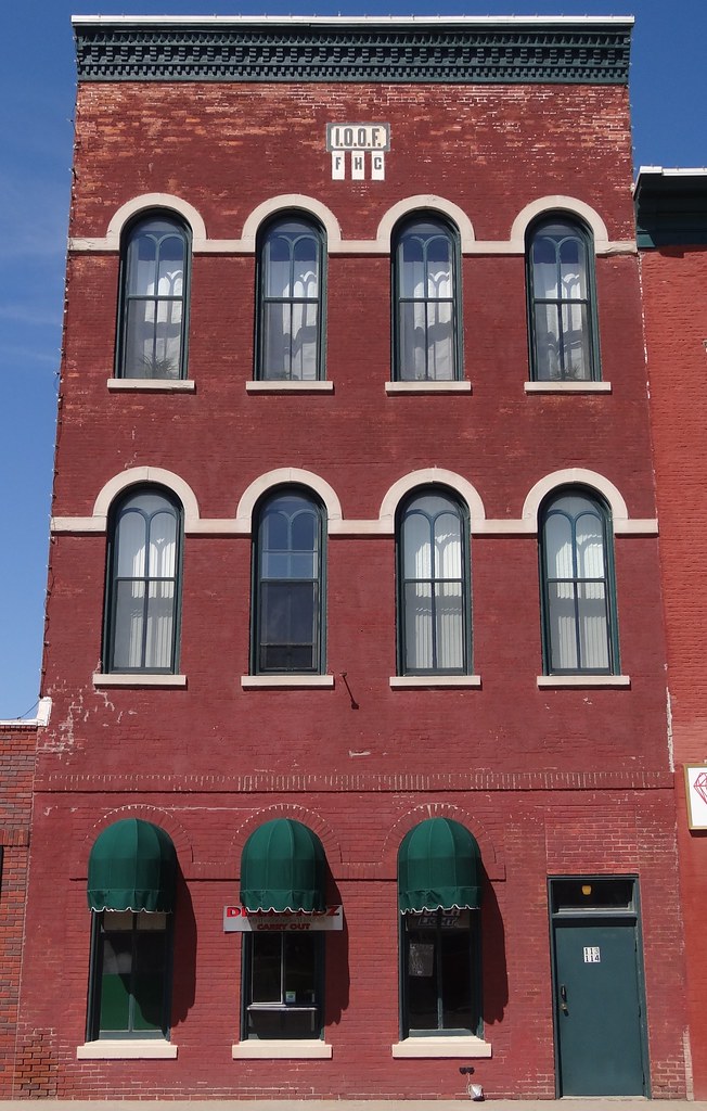
Thomas Funeral Home
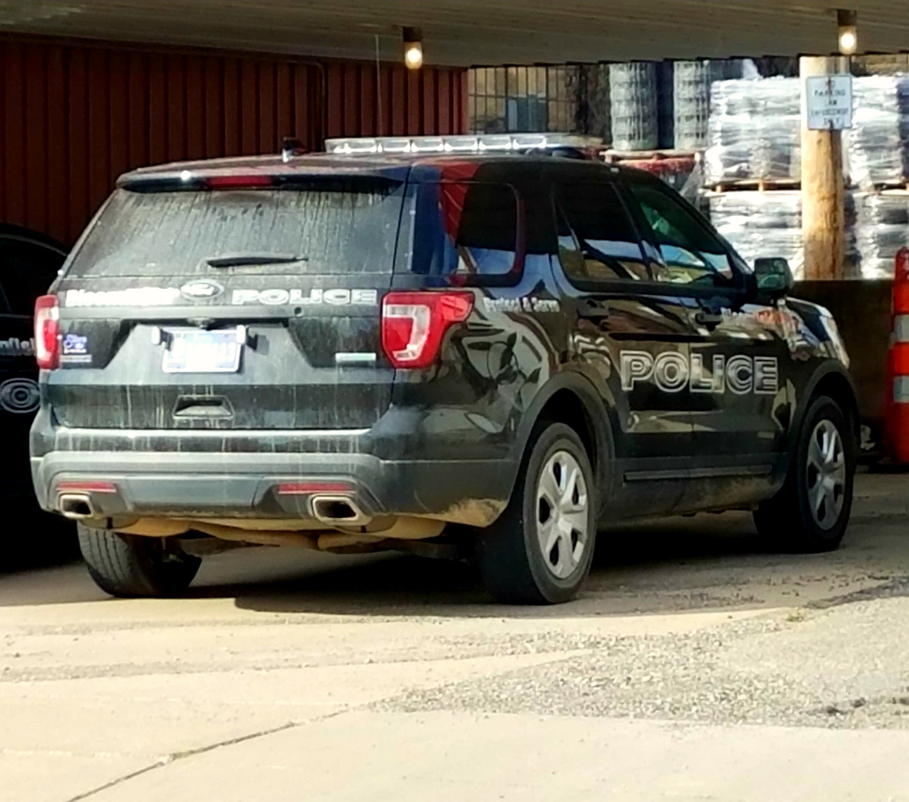
Bloomfield Police Ford Interceptor Utility
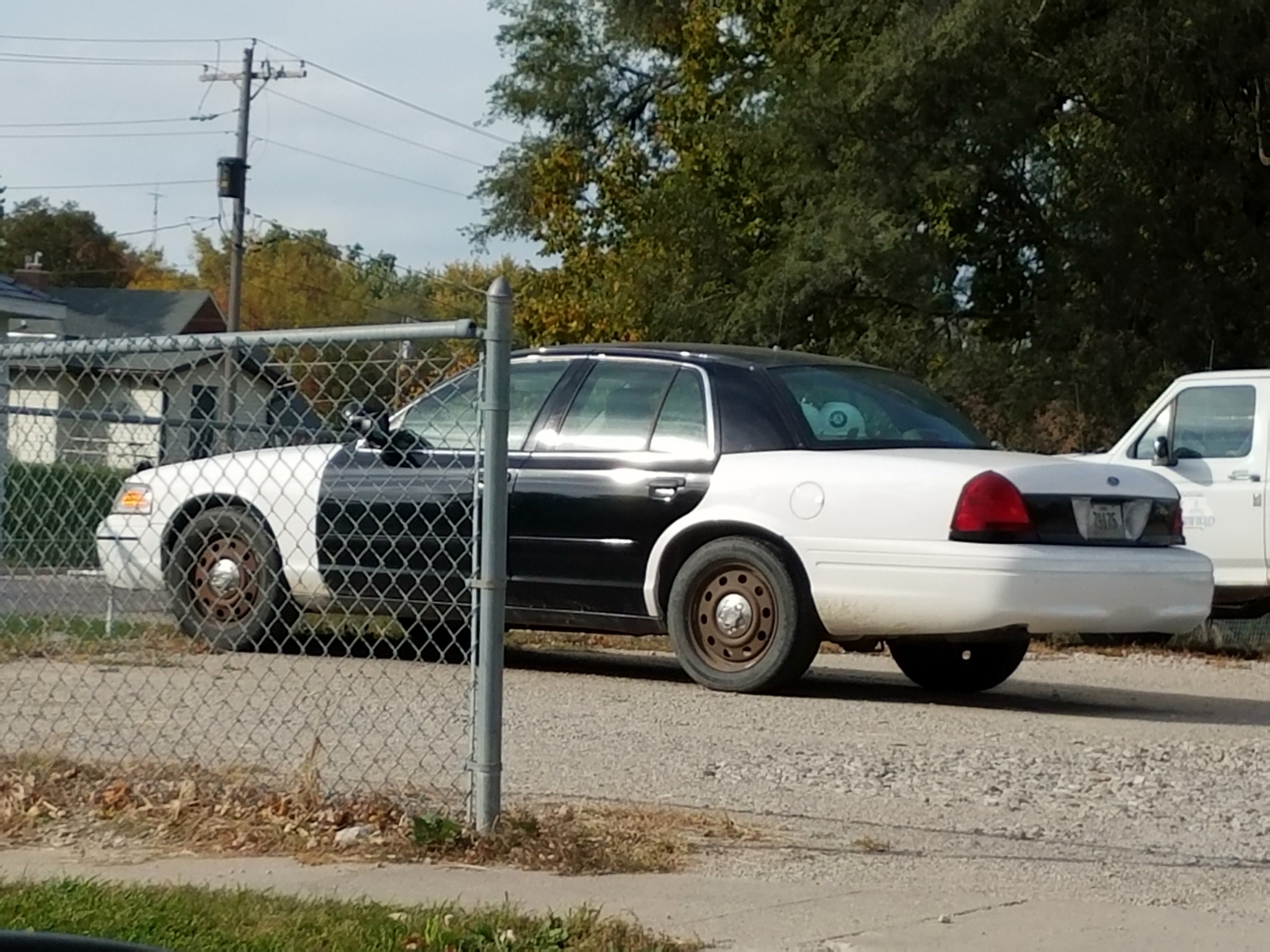
Ex Bloomfield Police Ford Crown Victoria

Davis County Sheriff Ford Interceptor Utility
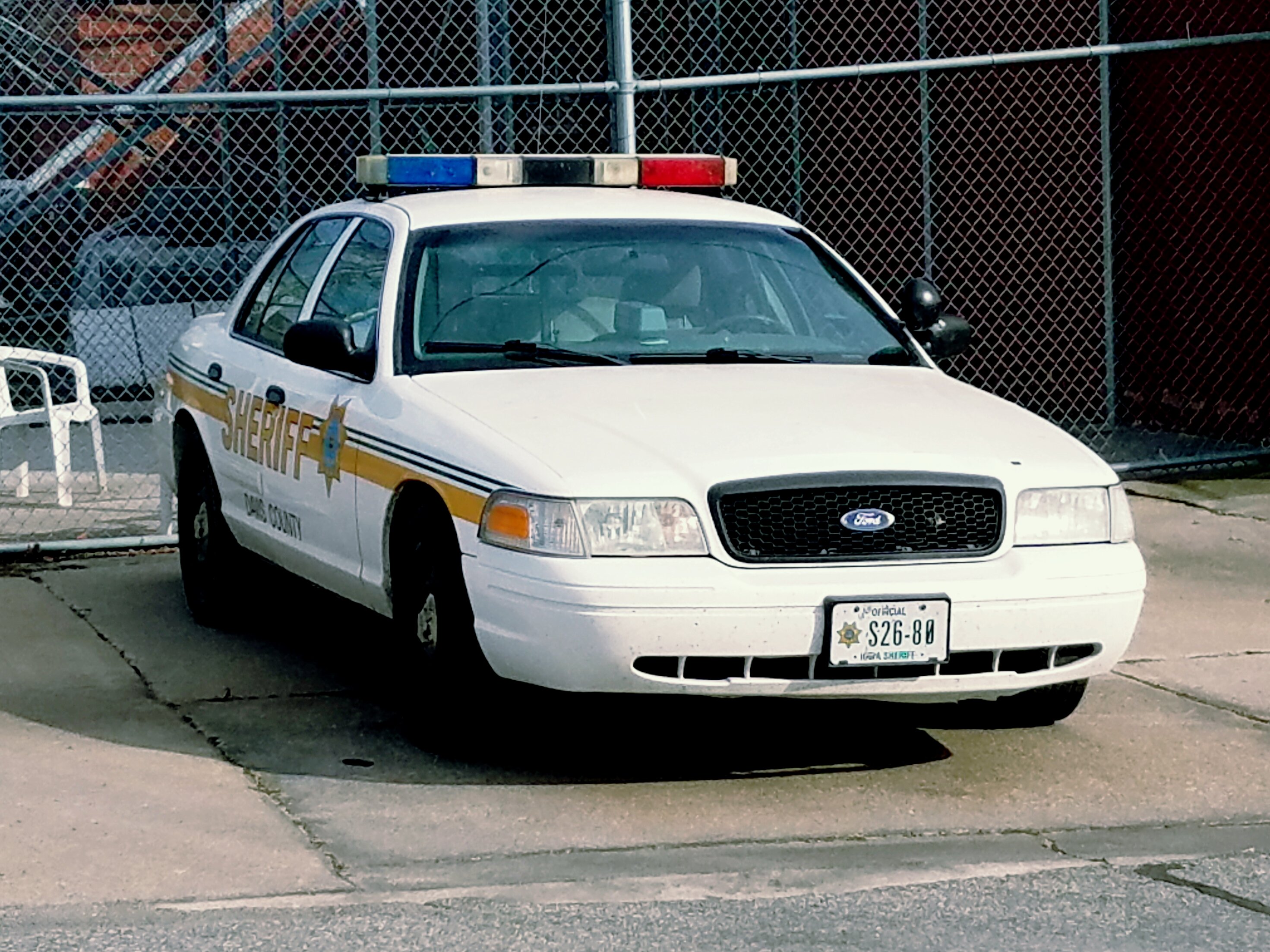
Davis County Sheriff Ford Crown Victoria
Odd Fellows Bloomfield, IA
Bays Bloomfield, IA
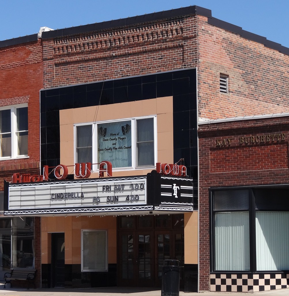
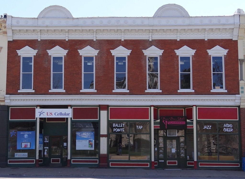
Iowa Bloomfield, IA4

Iowa Bloomfield, IA3
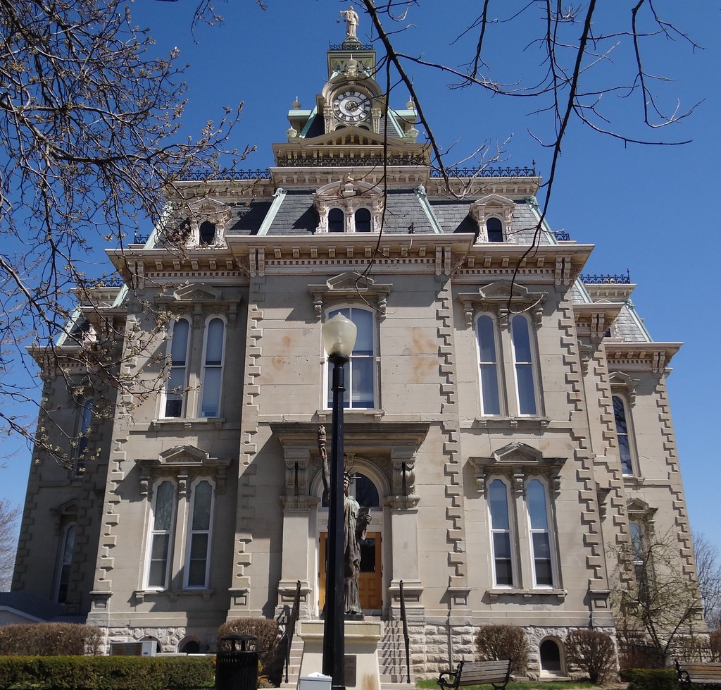
Courthouse Bloomfield, IA17
Courthouse Bloomfield, IA16
Courthouse Bloomfield, IA15
Courthouse Bloomfield, IA14
Courthouse Bloomfield, IA13
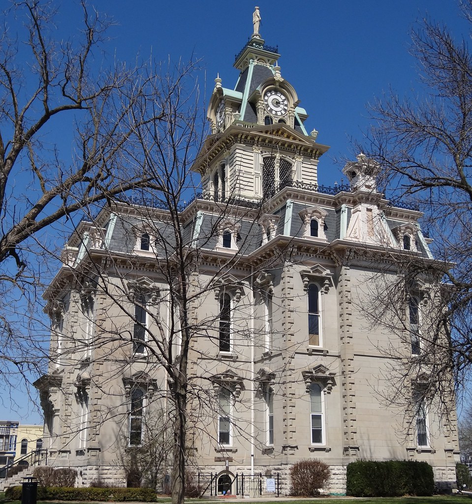
Courthouse Bloomfield, IA12
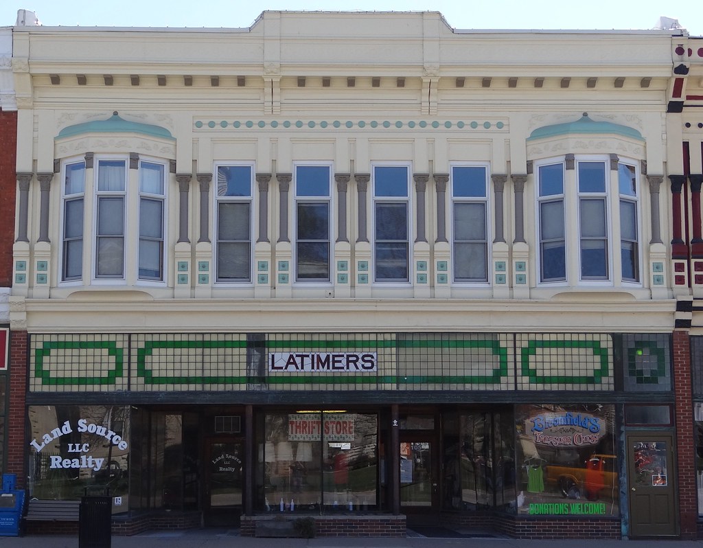
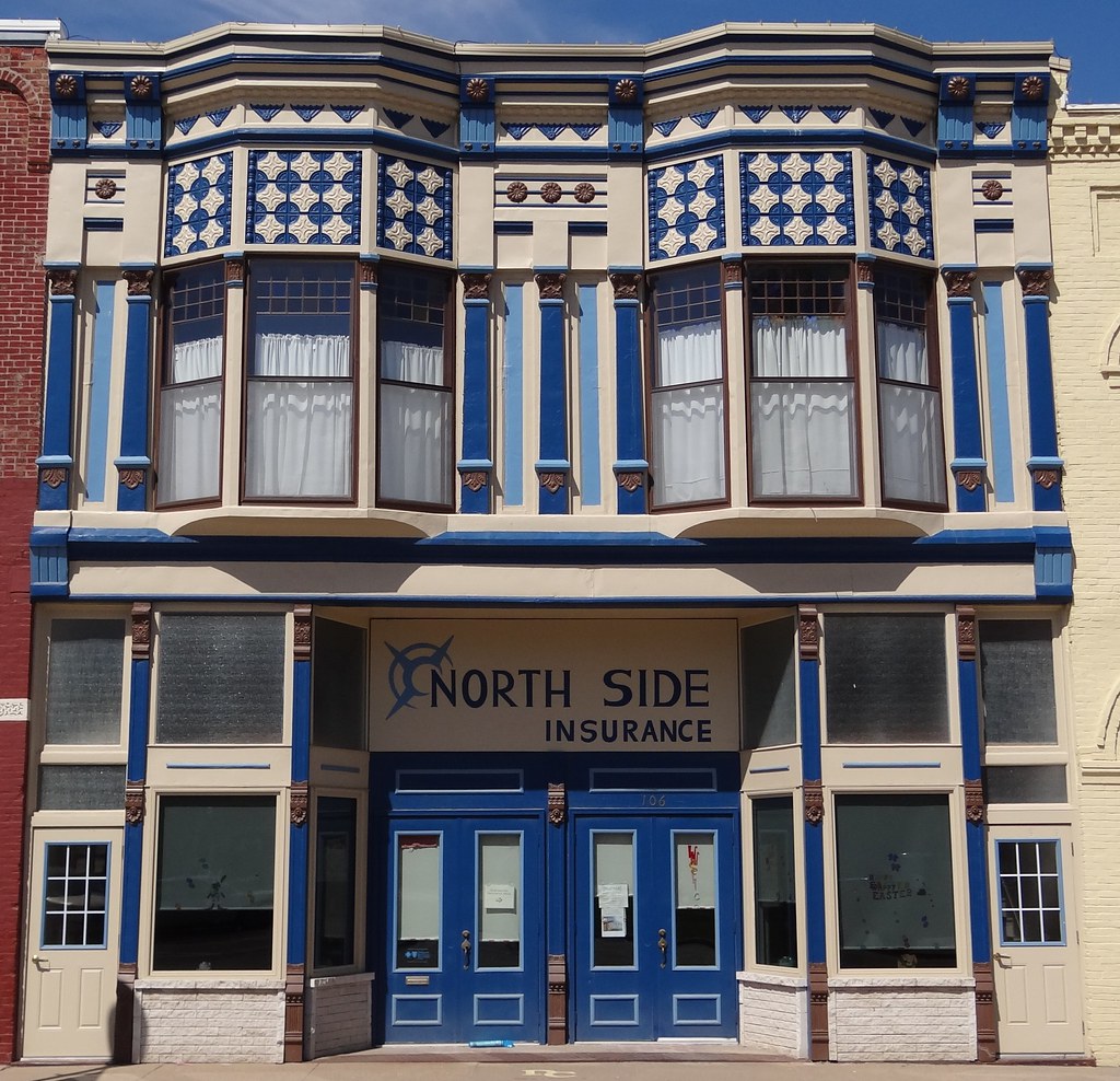
Latimer's Bloomfield, IA2
Stores Bloomfield, IA2
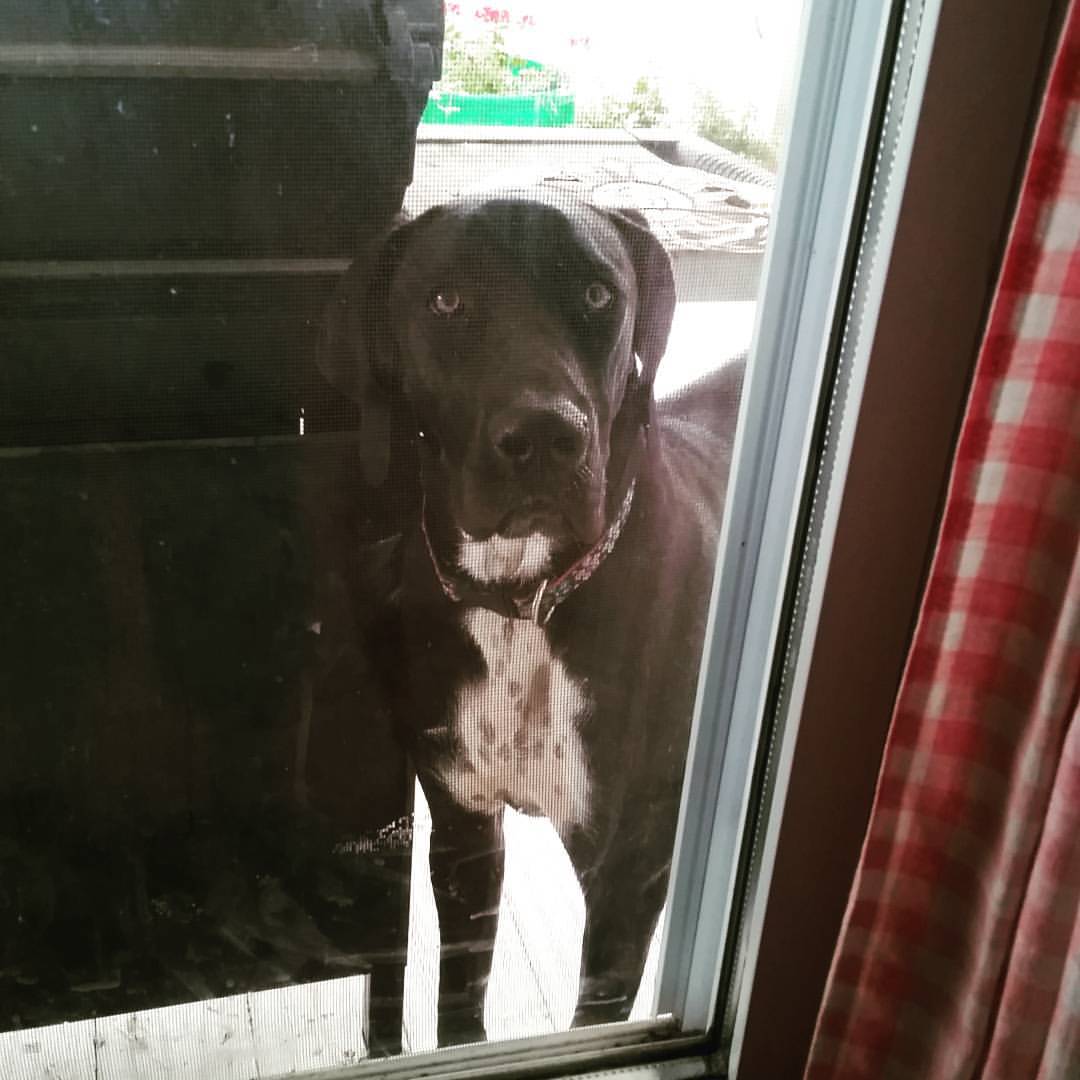
Peeping Tipper! Visiting Nancy on the farm.
Topographic Map of Davis County, IA, USA
Find elevation by address:

Places in Davis County, IA, USA:
Places near Davis County, IA, USA:
Bloomfield
15340 276th St
Old Fairgrounds
Milton
Fabius
Schuyler County
705 Park St
705 Park St
705 Park St
Union Township
Jackson
Scotland County
19696 County Rd 564
Memphis
W Monroe St, Memphis, MO, USA
Cantril
Division St, Cantril, IA, USA
Jefferson Township
Greentop, MO, USA
Polk Township
Recent Searches:
- Elevation of Congressional Dr, Stevensville, MD, USA
- Elevation of Bellview Rd, McLean, VA, USA
- Elevation of Stage Island Rd, Chatham, MA, USA
- Elevation of Shibuya Scramble Crossing, 21 Udagawacho, Shibuya City, Tokyo -, Japan
- Elevation of Jadagoniai, Kaunas District Municipality, Lithuania
- Elevation of Pagonija rock, Kranto 7-oji g. 8"N, Kaunas, Lithuania
- Elevation of Co Rd 87, Jamestown, CO, USA
- Elevation of Tenjo, Cundinamarca, Colombia
- Elevation of Côte-des-Neiges, Montreal, QC H4A 3J6, Canada
- Elevation of Bobcat Dr, Helena, MT, USA