Elevation of Daves Rd, Morganton, GA, USA
Location: United States > Georgia > Fannin County > Morganton >
Longitude: -84.163927
Latitude: 34.840479
Elevation: 685m / 2247feet
Barometric Pressure: 93KPa
Elevation Map:
Satellite Map:
Related Photos:

Morning view... #beauty #life #happy #instagood #instagram #vacation

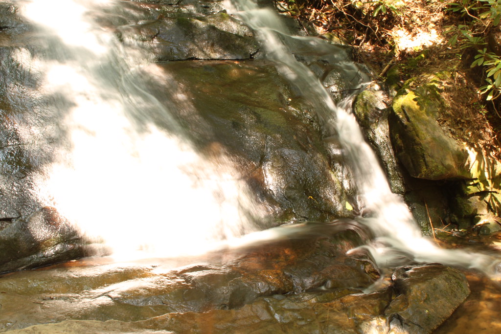
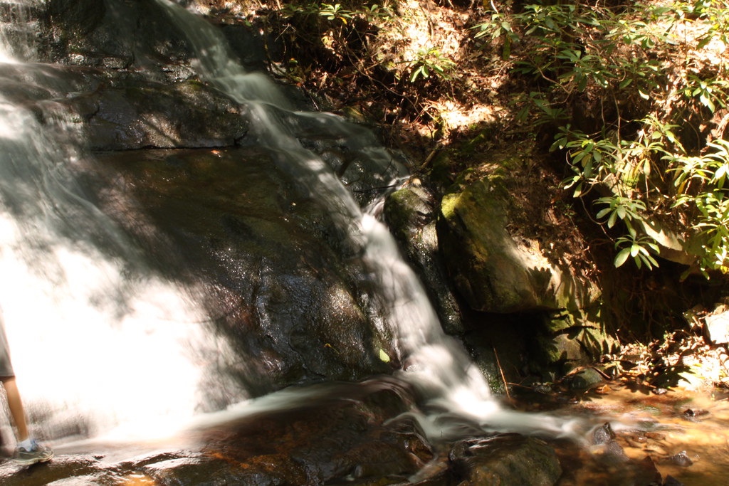
Sea Creek Falls
Cooper Creek , GA
mountain view1 (hdr)
Old time family photo
Rear-view dirt road
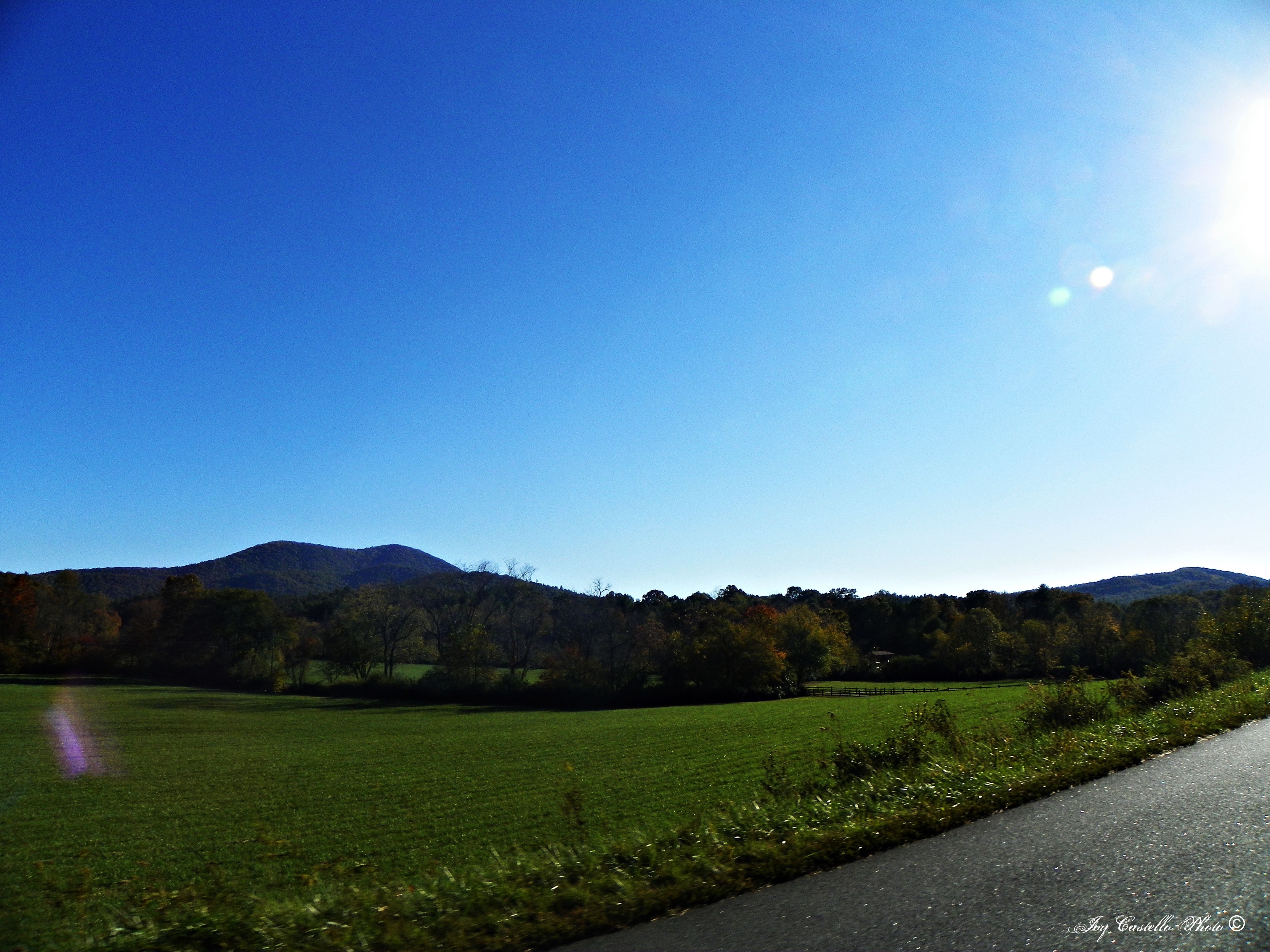
View from the Car
Cup of coffee

Georgia sunset ...
View from the Car
View from the office tonight.
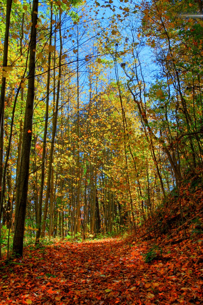
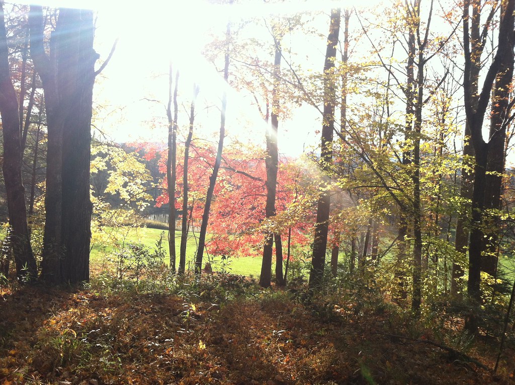
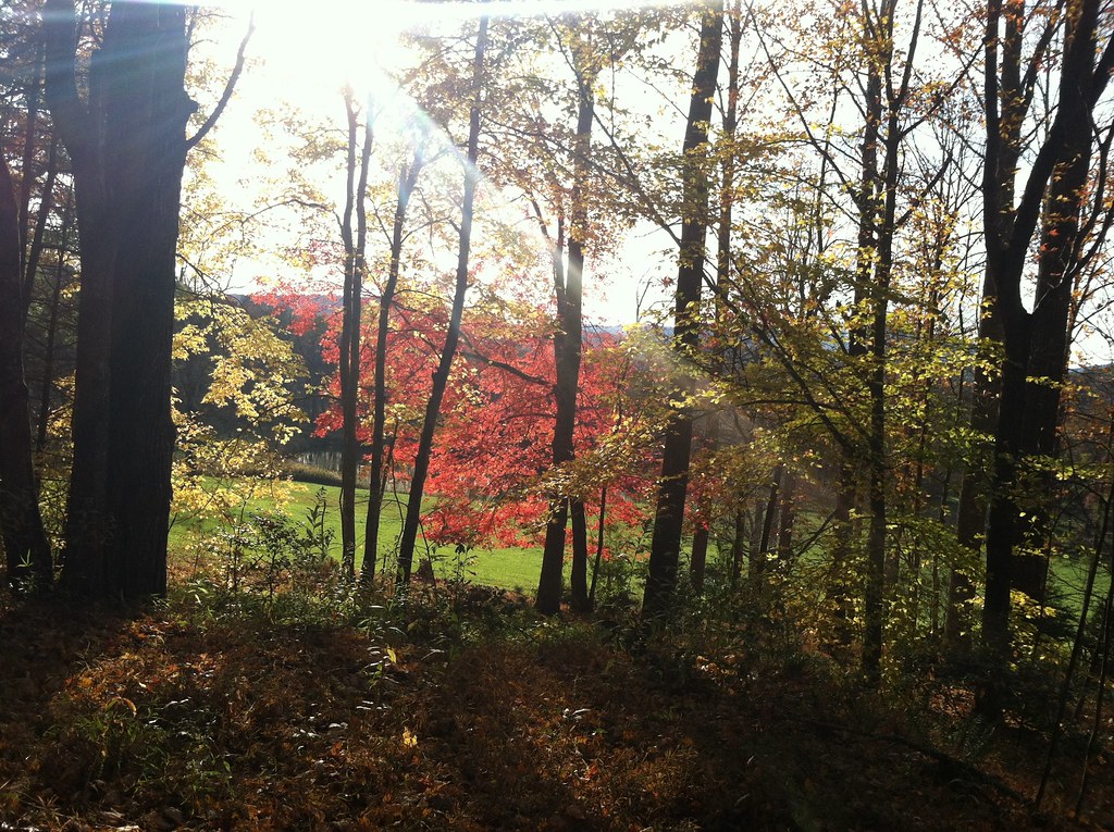
Changing Colors

View From South Brawley Ridge
View at Dusk

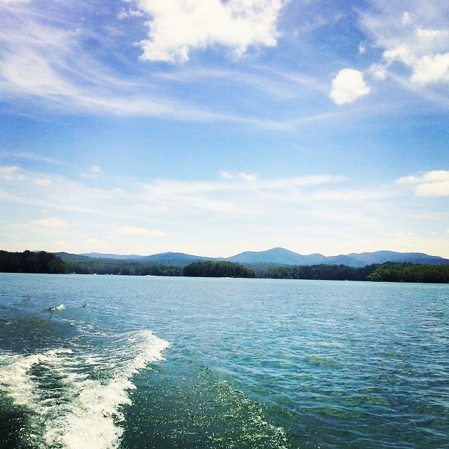
That's not a lake
Big Bear view at night
View From NW Side of Weeks Mtn

View at Dusk

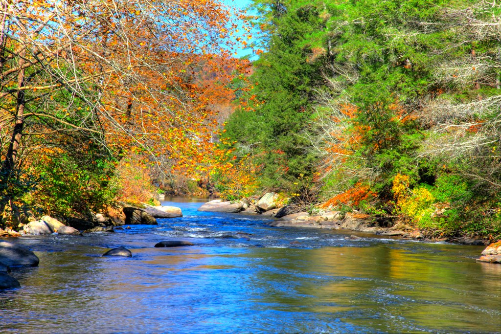
View of the river from the bridge
Last night with this view... one more stop on the way home to Florida tomorrow... God is good!!!
Beautiful View
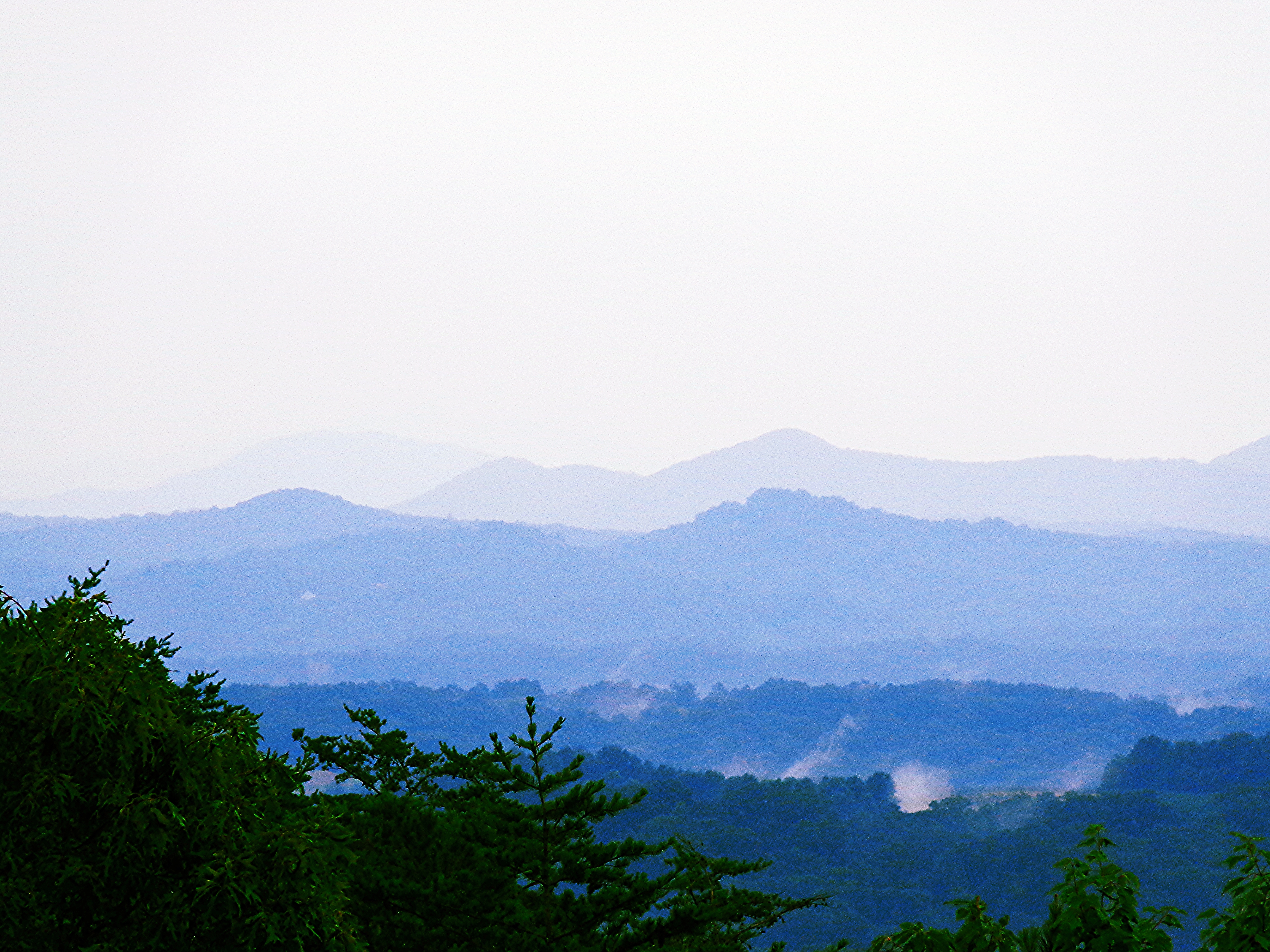
Blue Ridge Mountains
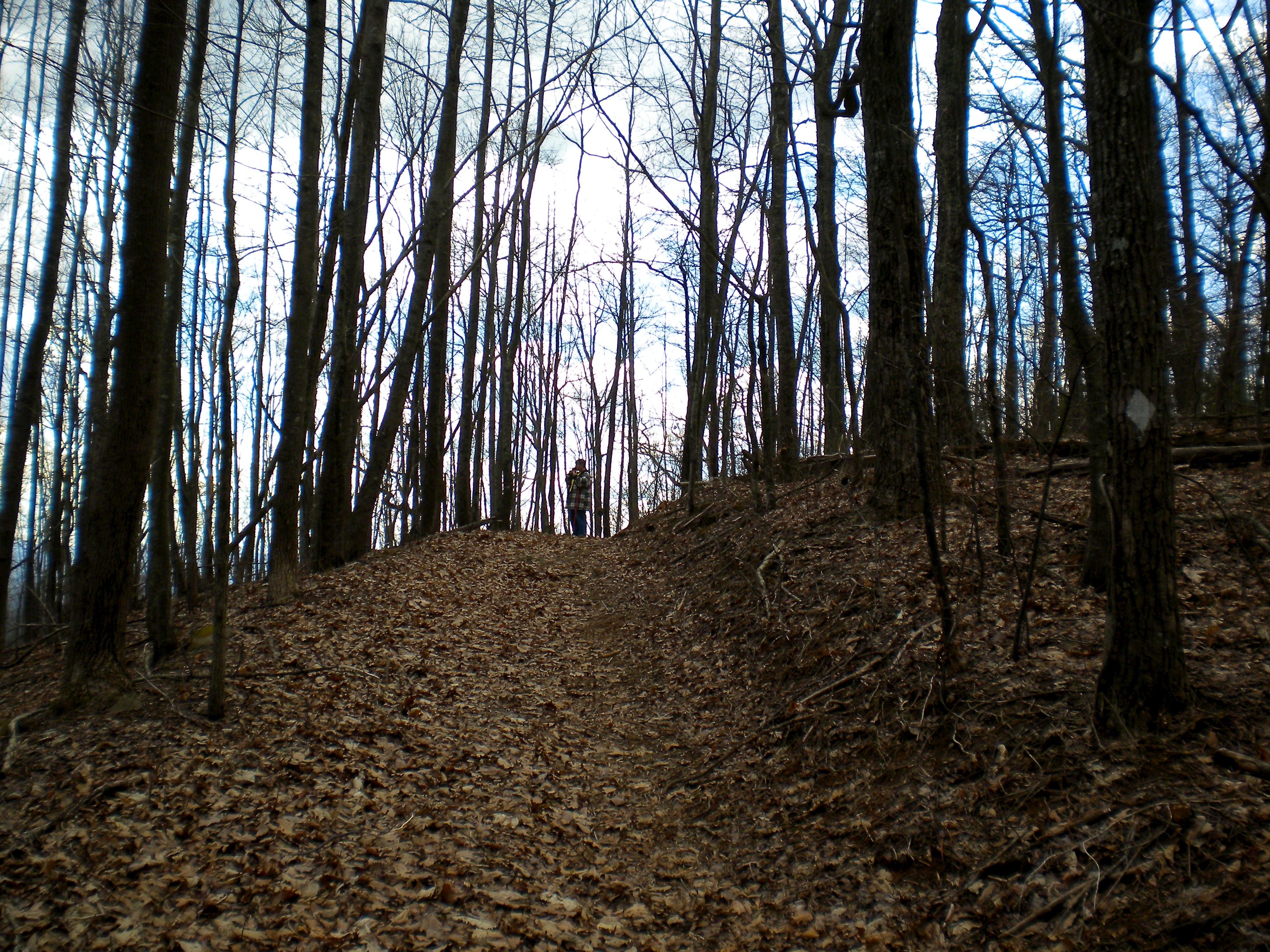
Trees in Blue Ridge 5

Camera Roll-301
Truckie River Georgia 2

IMG_9726.JPG
Deadennen Mtn
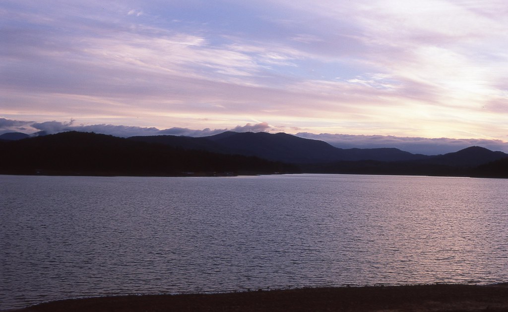
Sunset over Lake Blue Ridge
IMG_9738.JPG

IMG_9729.JPG
IMG_9743.JPG
Truckie River Georgia
Pointed North
IMG_9724.JPG
IMG_9736.JPG

Lake Nottely
Fannin County, Georgia
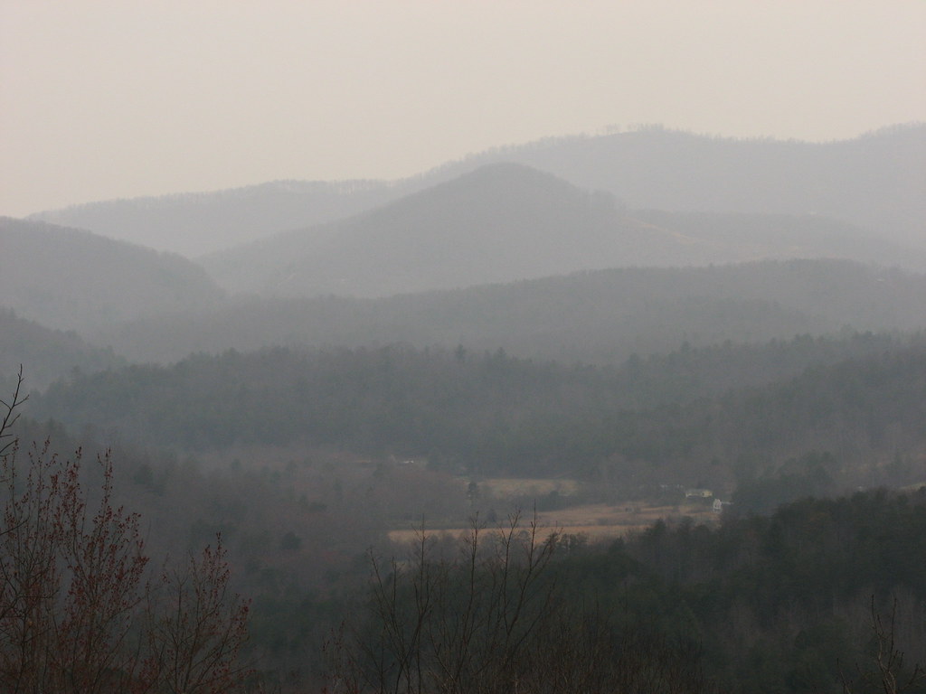
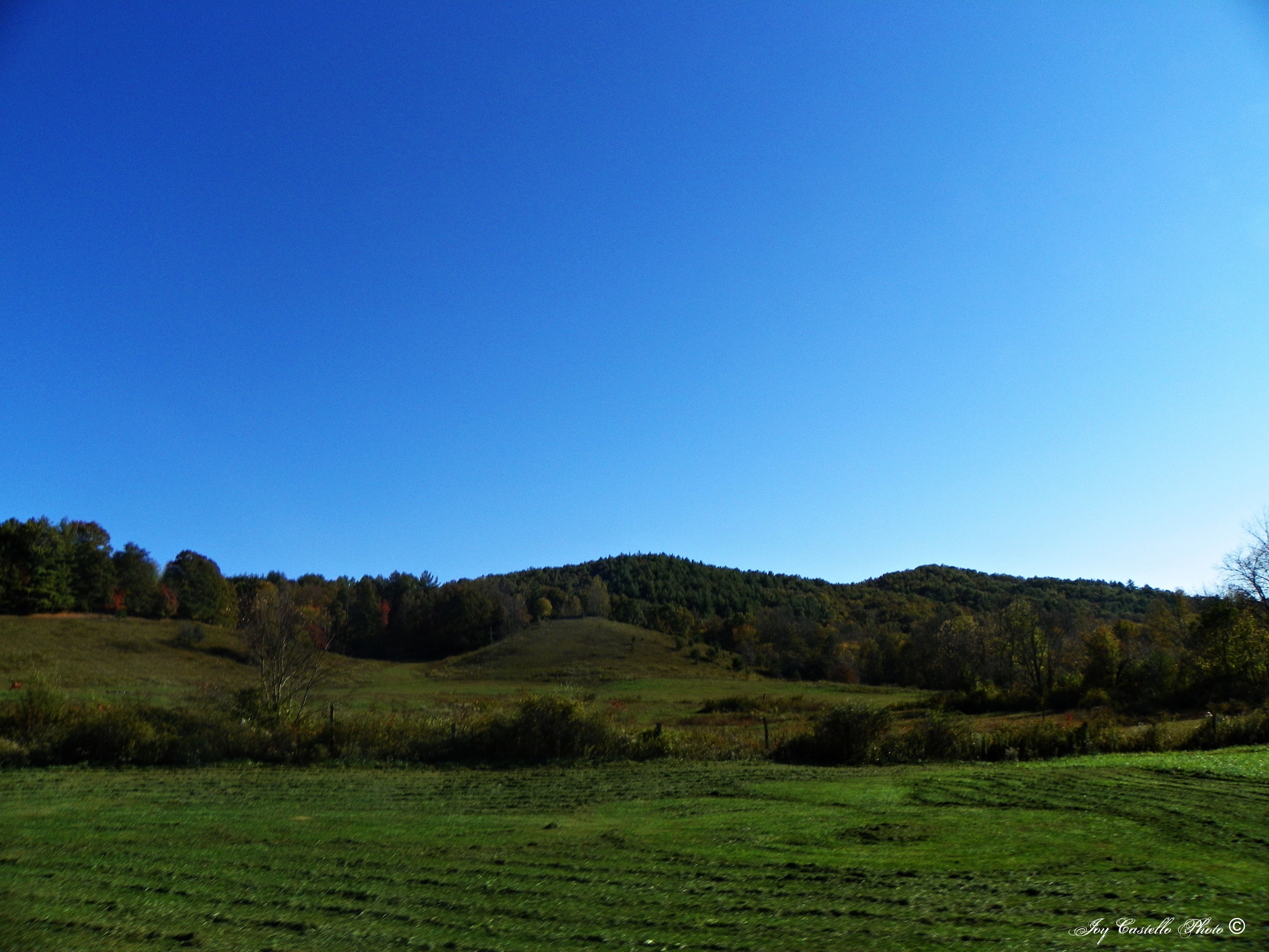
Mountains in Fannin County, Georgia
Camera Roll-335
Camera Roll-336

IMG_9739.JPG
Topographic Map of Daves Rd, Morganton, GA, USA
Find elevation by address:

Places near Daves Rd, Morganton, GA, USA:
Ruby Gulch
340 Ruby Gulch
24 Gork Holler Rd
101 Heards Ridge
101 Heards Ridge
193 Heards Ridge
323 Picklesimer Rd
323 Picklesimer Rd
323 Picklesimer Rd
323 Picklesimer Rd
323 Picklesimer Rd
174 Shepherds Way
219 Bear Track Trail
216 Bear Track Trail
1190 N Burgess Gap Rd
Shepherds Way
Stanley Ridge Road
152 Stanley Ridge Rd #3
495 Stanley Ridge Rd
393 Shepherds Walk
Recent Searches:
- Elevation of W Granada St, Tampa, FL, USA
- Elevation of Pykes Down, Ivybridge PL21 0BY, UK
- Elevation of Jalan Senandin, Lutong, Miri, Sarawak, Malaysia
- Elevation of Bilohirs'k
- Elevation of 30 Oak Lawn Dr, Barkhamsted, CT, USA
- Elevation of Luther Road, Luther Rd, Auburn, CA, USA
- Elevation of Unnamed Road, Respublika Severnaya Osetiya — Alaniya, Russia
- Elevation of Verkhny Fiagdon, North Ossetia–Alania Republic, Russia
- Elevation of F. Viola Hiway, San Rafael, Bulacan, Philippines
- Elevation of Herbage Dr, Gulfport, MS, USA