Elevation of Dau, Mabalacat, Pampanga, Philippines
Location: Philippines > Central Luzon > Pampanga > Mabalacat >
Longitude: 120.587201
Latitude: 15.1779637
Elevation: -10000m / -32808feet
Barometric Pressure: 295KPa
Elevation Map:
Satellite Map:
Related Photos:

Room, Ang Cty 6-8-17 3
Clark2-8-2010 8;47;14 PM (3)

#Porac view #aerial #aerialphotography #tekgik #imagesmithph #work #pipho #pampanga #asia #philippines #travel #tour #trip #nature #mountains #earth #archive

Major Upgrade

room view Ang Cty 6-8-17

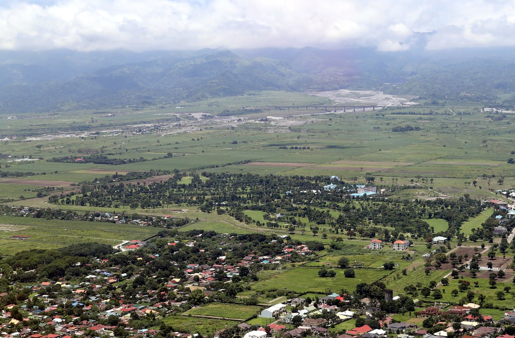
Over Balibago, AC @ 1,178'

Over Angeles City At 930'

Angeles City

Vidya Gaemz

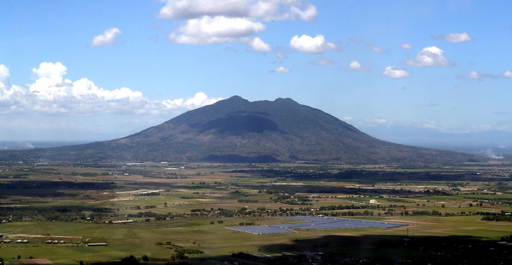
Misty Mt. Arayat

The Majestic Mount Arayat

View from the SM Mall Clark

A Majestic Mount Arayat View

Majestic Mt. Arayat

Up to Angeles #2

Majestic Mt. Arayat

VPB-119, Crew 12, Enlisted

16th Place, wide view

A view from our office window -- #MountArayat #Pampanga #aerialview #HDR #Snapseed

View from top of water tank

Home on 5th pl - then and now

Livin' The Dream

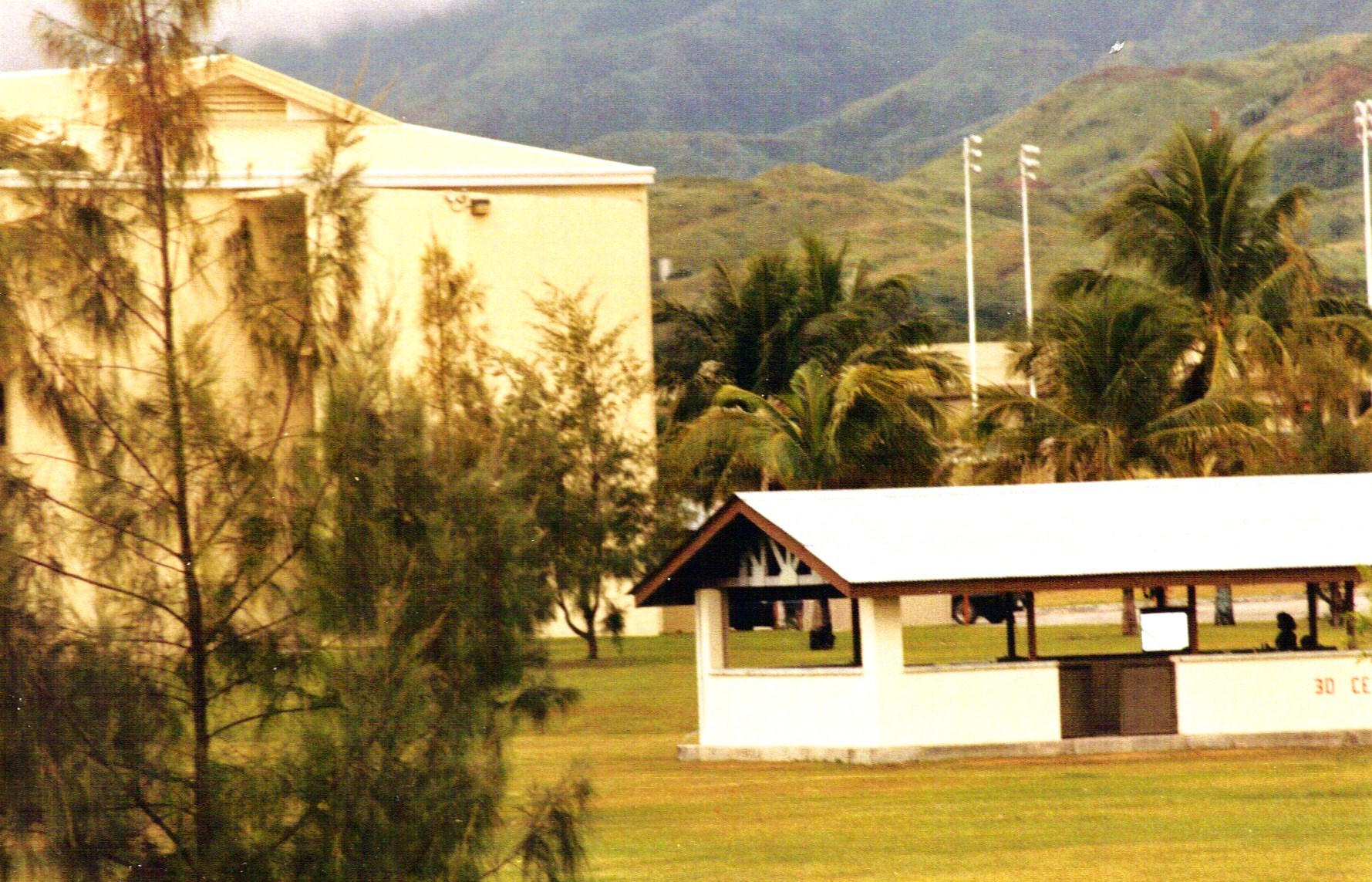
Clark International Airport
Mt. Arayat At 1355' Altitude

Bamban Tarlac Sunset

My Homeland

Mount Pinatubo Crater

Nielsen Bridge

Nielsen Bridge v2.0

Sunset on the freeway

Mount Pinatubo

Sunset Sky Clouds Astro Park Bayanihan Angeles City Pampanga ©

First of all... Why are we here?
Royal Garden CC - AC

The 152 Over Clark

Over Balibago AC @ 1,089'
Topographic Map of Dau, Mabalacat, Pampanga, Philippines
Find elevation by address:

Places in Dau, Mabalacat, Pampanga, Philippines:
Places near Dau, Mabalacat, Pampanga, Philippines:
Burgos Street
Fields Walking Street Hotel
Sta. Ines
Balibago
Camachiles
Clark Manor
Aniceto Gueco Street
Abacan Bridge
Angeles City Hall
Marquee Mall
Salapungan
Angeles
Pulung Cacutud
Punta Verde
Marquee Place Subdivision
Lourdes Sur
San Fernando
Pulungbulu
Kfc Nepo Mall
Sto. Rosario
Recent Searches:
- Elevation of Groblershoop, South Africa
- Elevation of Power Generation Enterprises | Industrial Diesel Generators, Oak Ave, Canyon Country, CA, USA
- Elevation of Chesaw Rd, Oroville, WA, USA
- Elevation of N, Mt Pleasant, UT, USA
- Elevation of 6 Rue Jules Ferry, Beausoleil, France
- Elevation of Sattva Horizon, 4JC6+G9P, Vinayak Nagar, Kattigenahalli, Bengaluru, Karnataka, India
- Elevation of Great Brook Sports, Gold Star Hwy, Groton, CT, USA
- Elevation of 10 Mountain Laurels Dr, Nashua, NH, USA
- Elevation of 16 Gilboa Ln, Nashua, NH, USA
- Elevation of Laurel Rd, Townsend, TN, USA