Elevation of Darling Farm Rd, Camden Wyoming, DE, USA
Location: United States > Delaware > Kent County > Camden Wyoming >
Longitude: -75.662267
Latitude: 39.098941
Elevation: 17m / 56feet
Barometric Pressure: 101KPa
Elevation Map:
Satellite Map:
Related Photos:
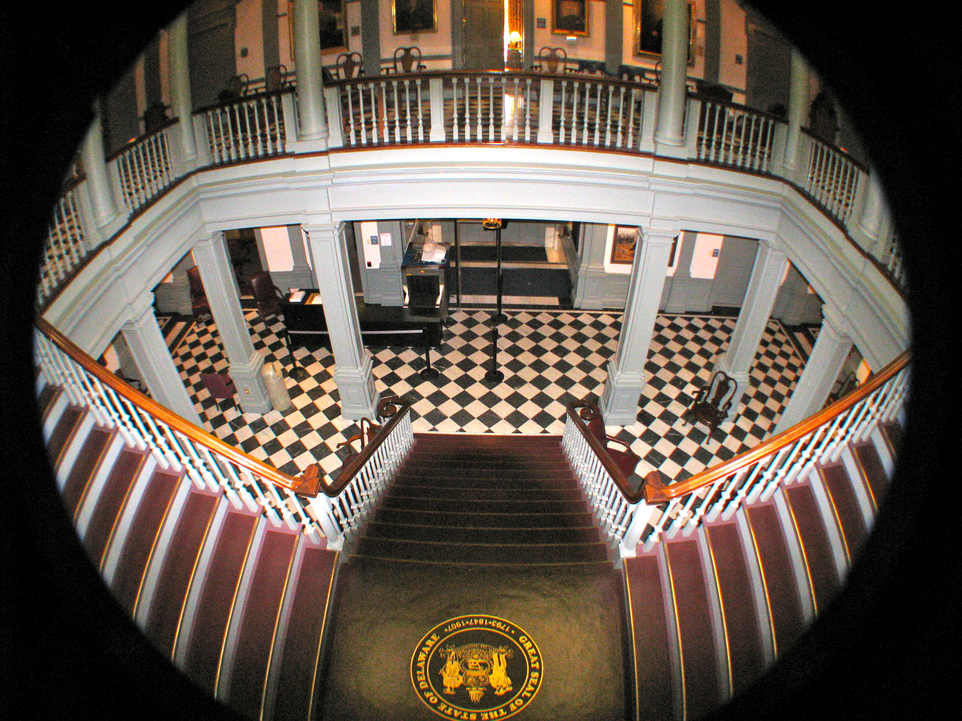
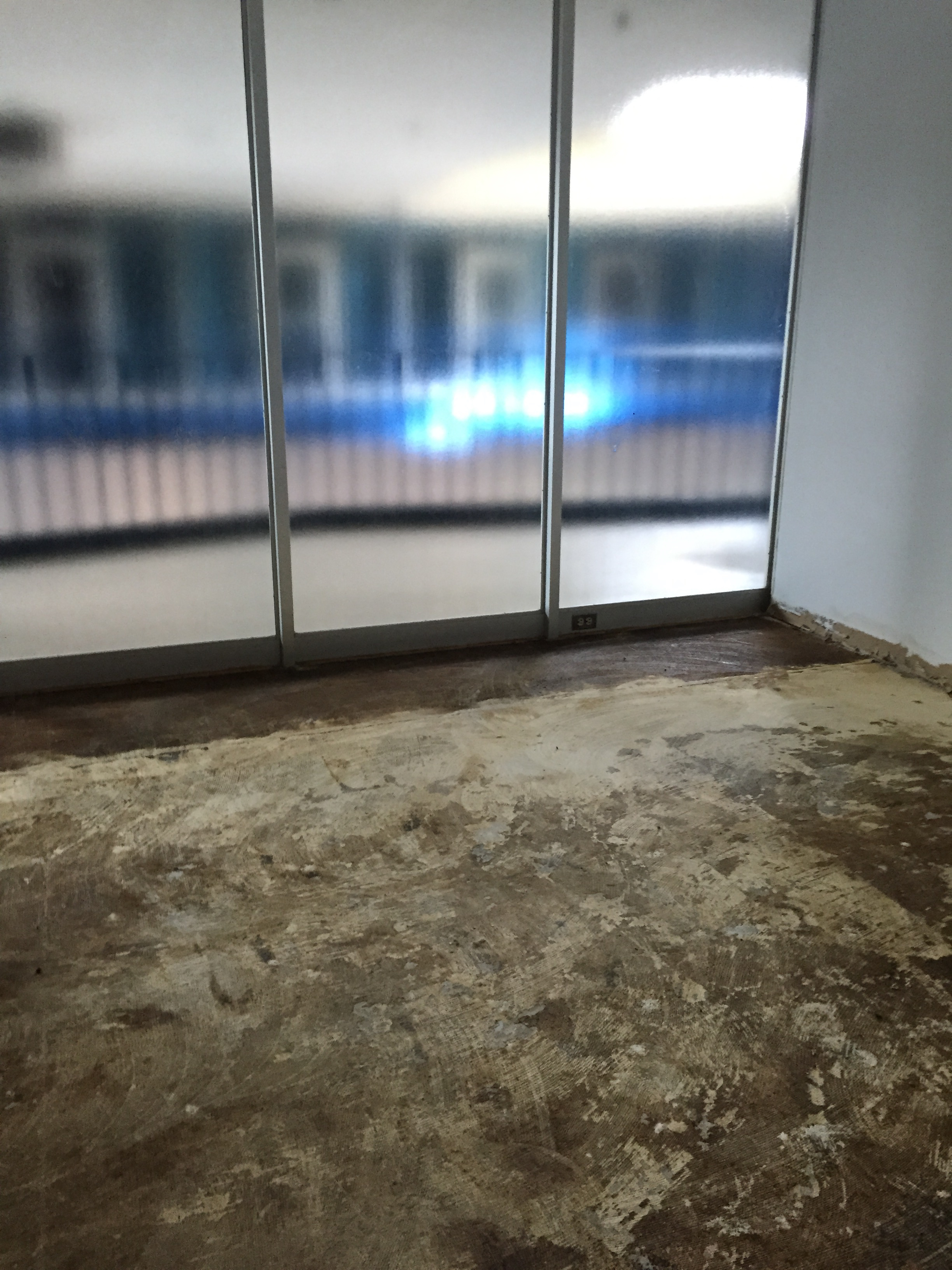
View from the 2nd Floor

Similar view
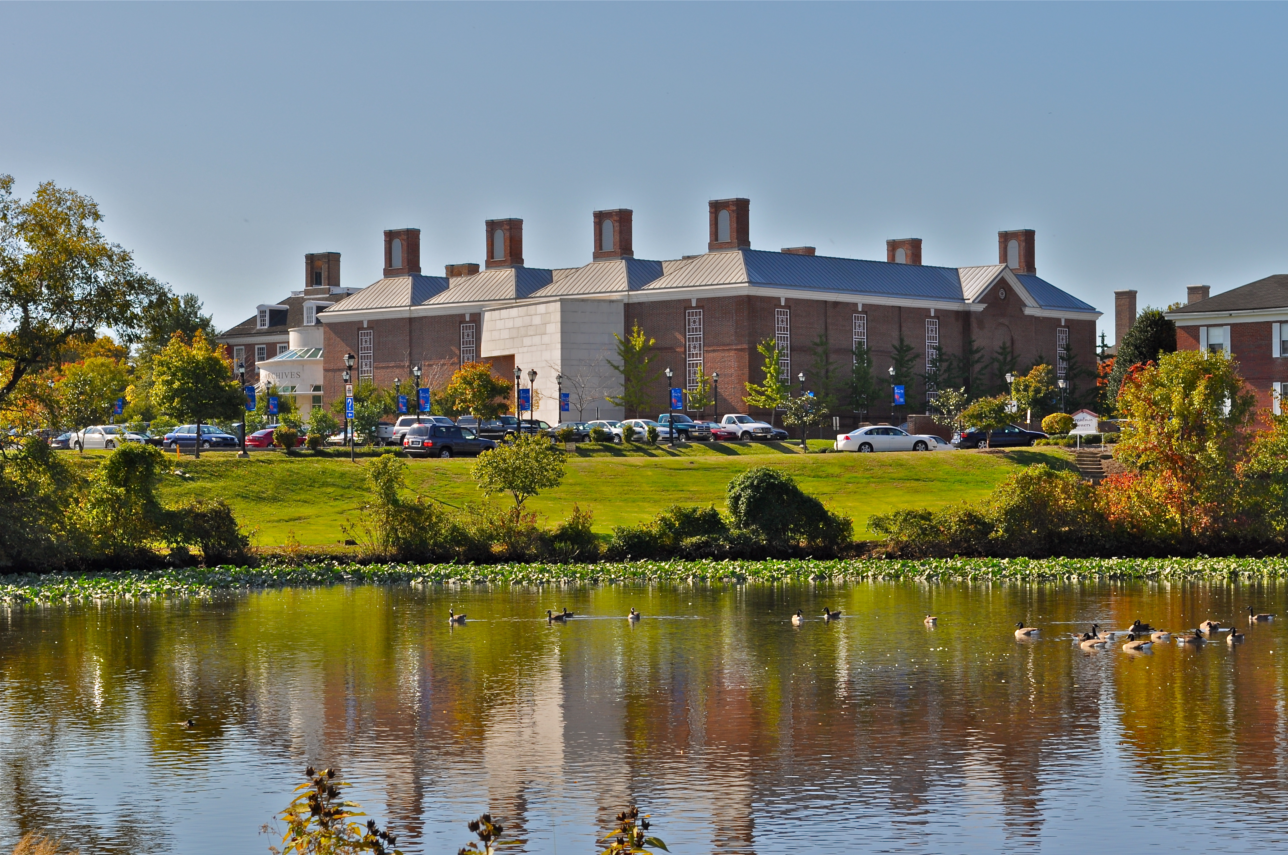
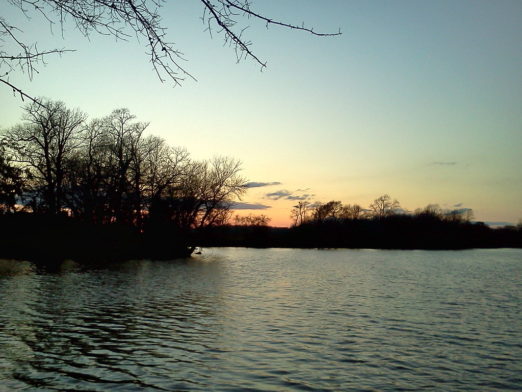
Public Archives from Mirror Lake

The Long, But Not So Winding Road
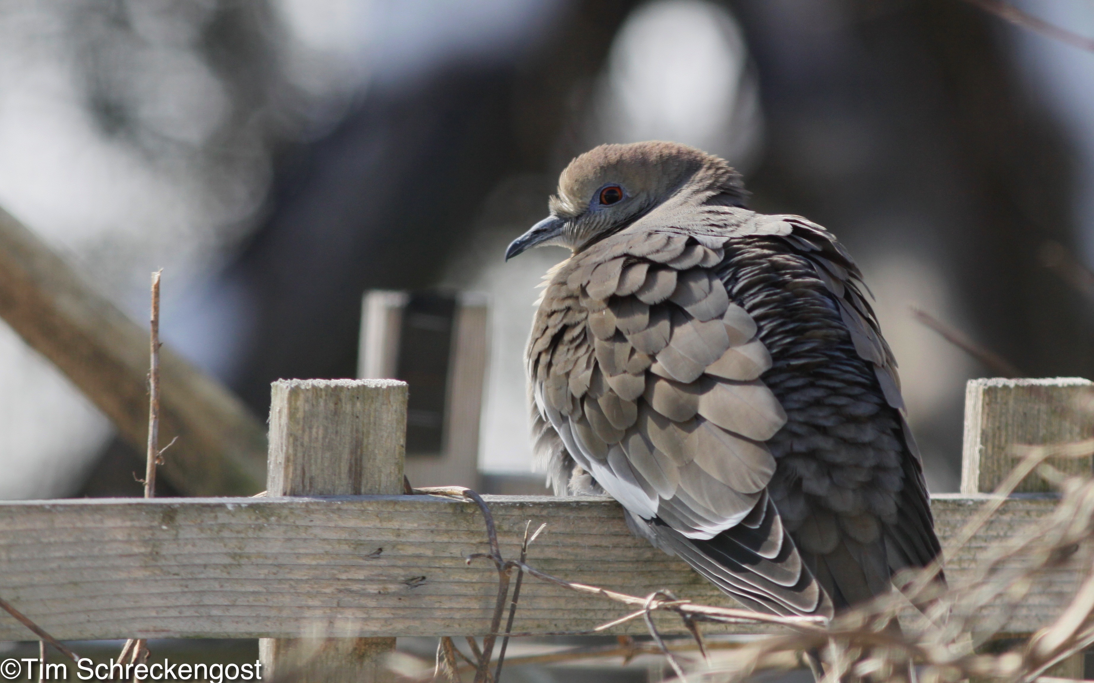
White-winged Dove at Brian McCaffrey's House, Kent, DE on Feb 17, 2015 - _MG_3806
Once upon a long ago..

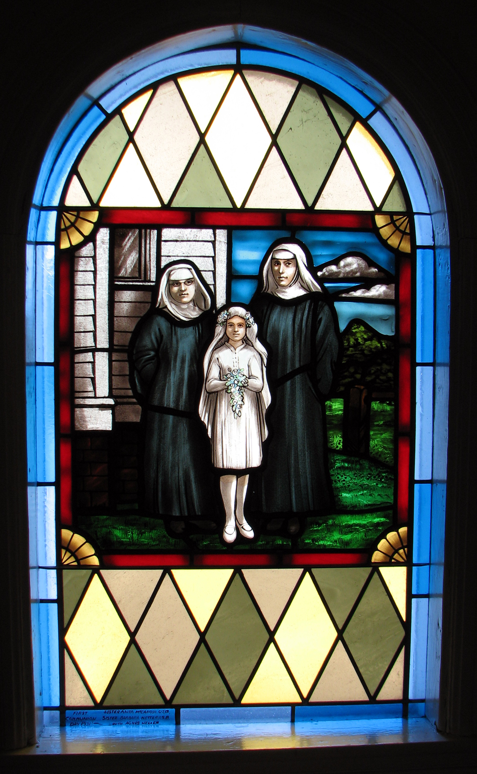
The Assumption of Mary
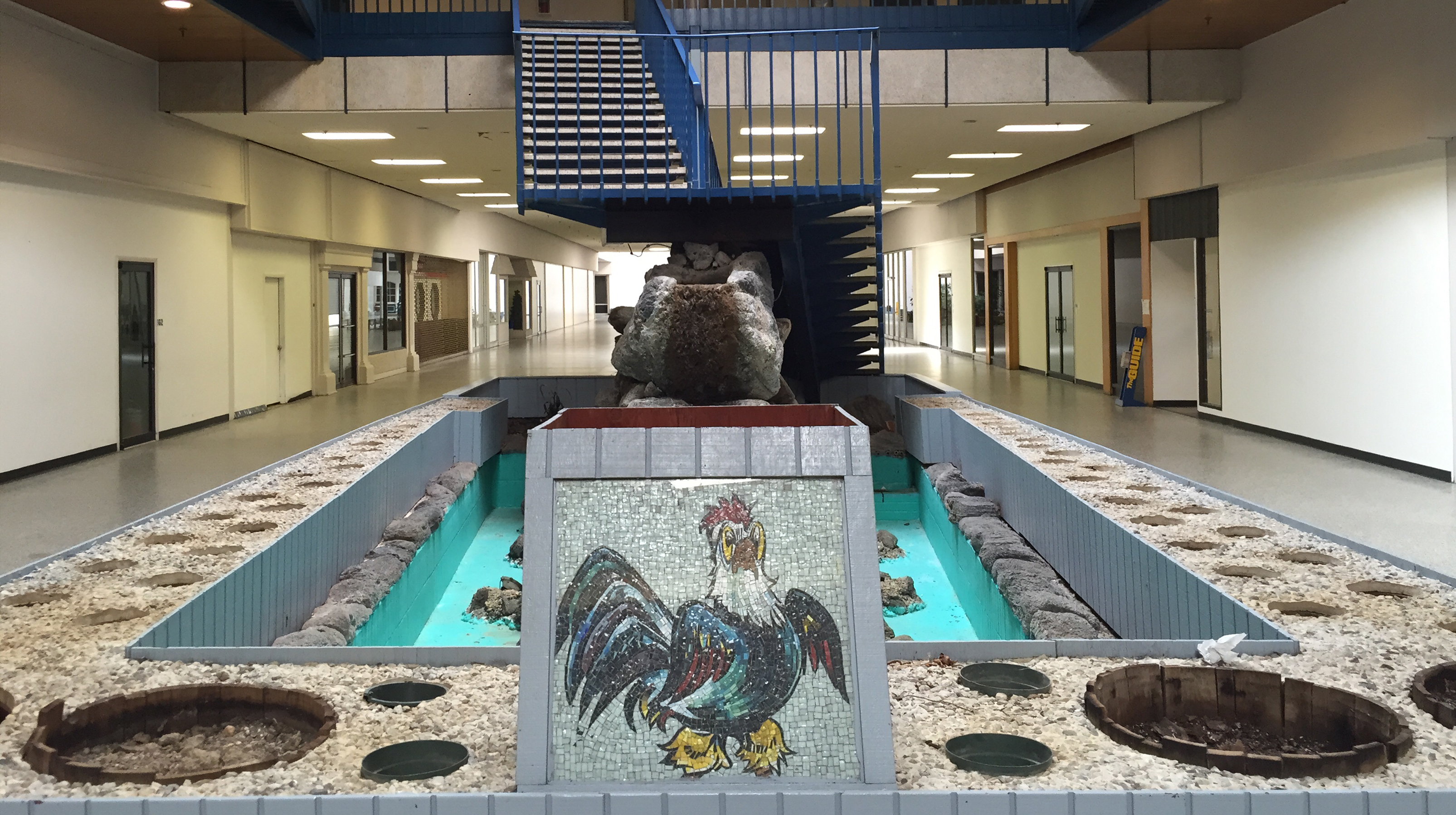
Office Space
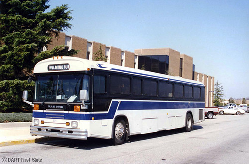
DART History - northbound Blue Diamond bus at DelDOT Campus, Dover 1995 (side view)
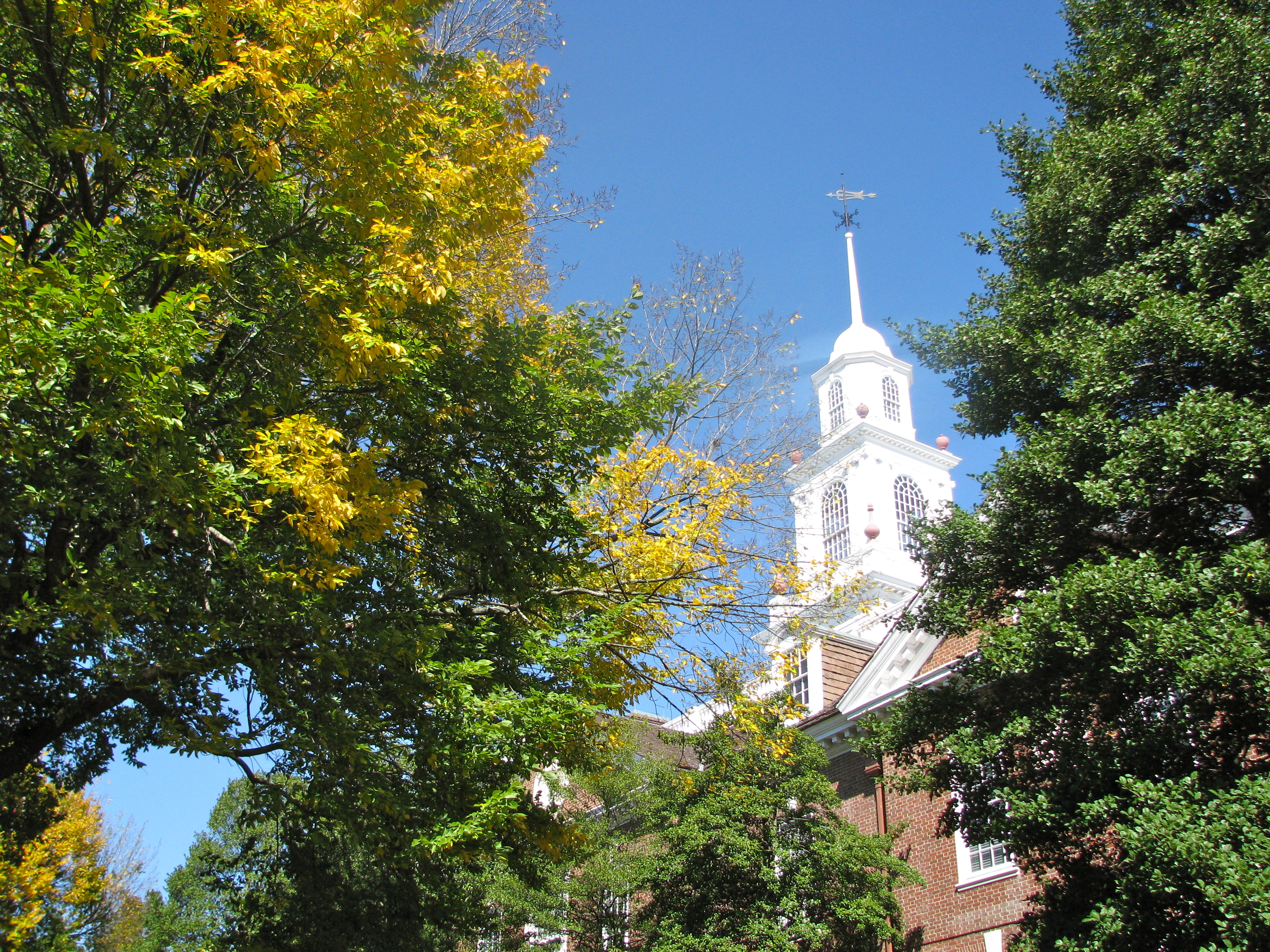
The Blue Hen

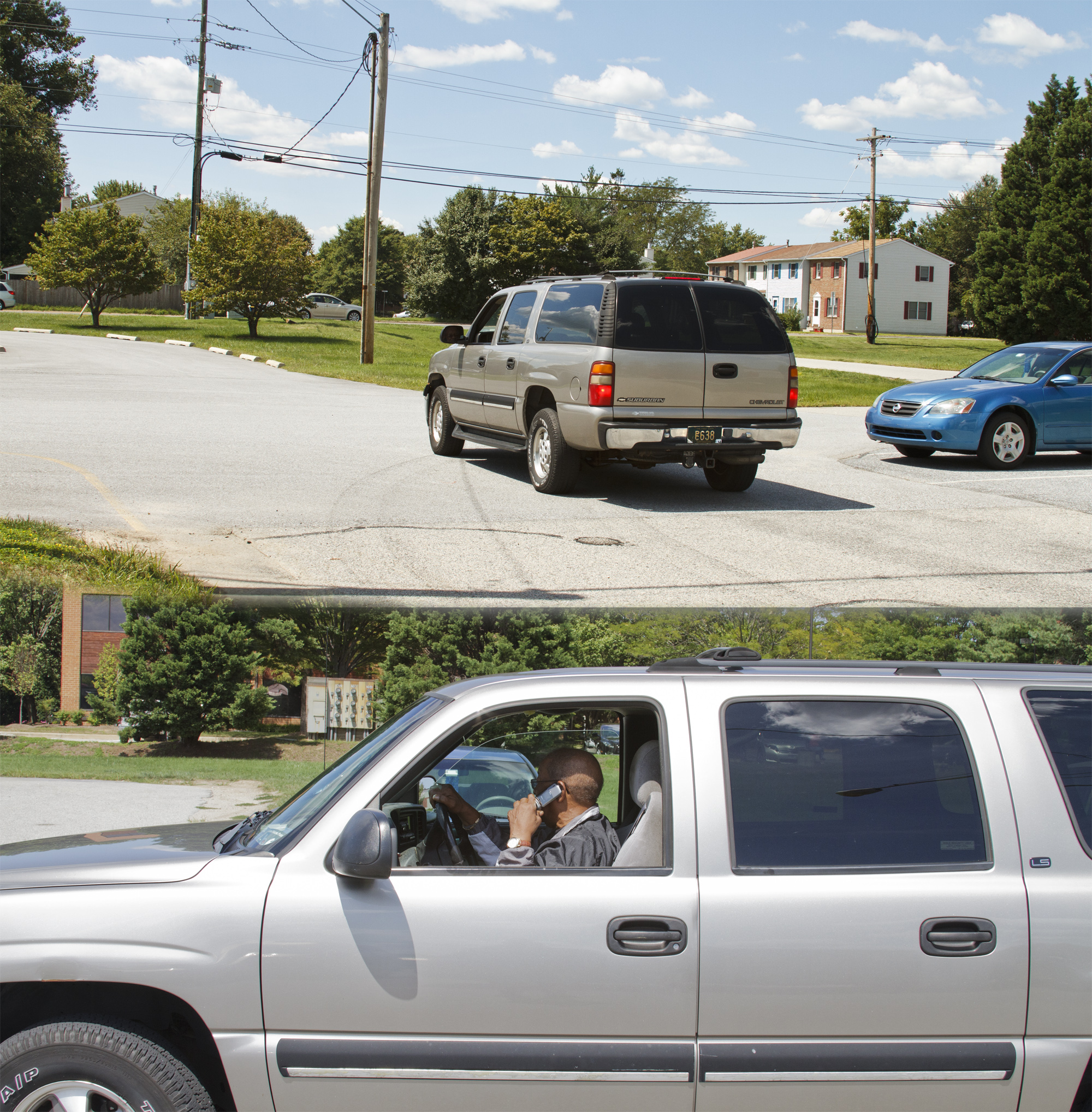
Boot On The Ground

The Holy Family
Little Red

St. Ann and the Virgin Mary
Early Teachers
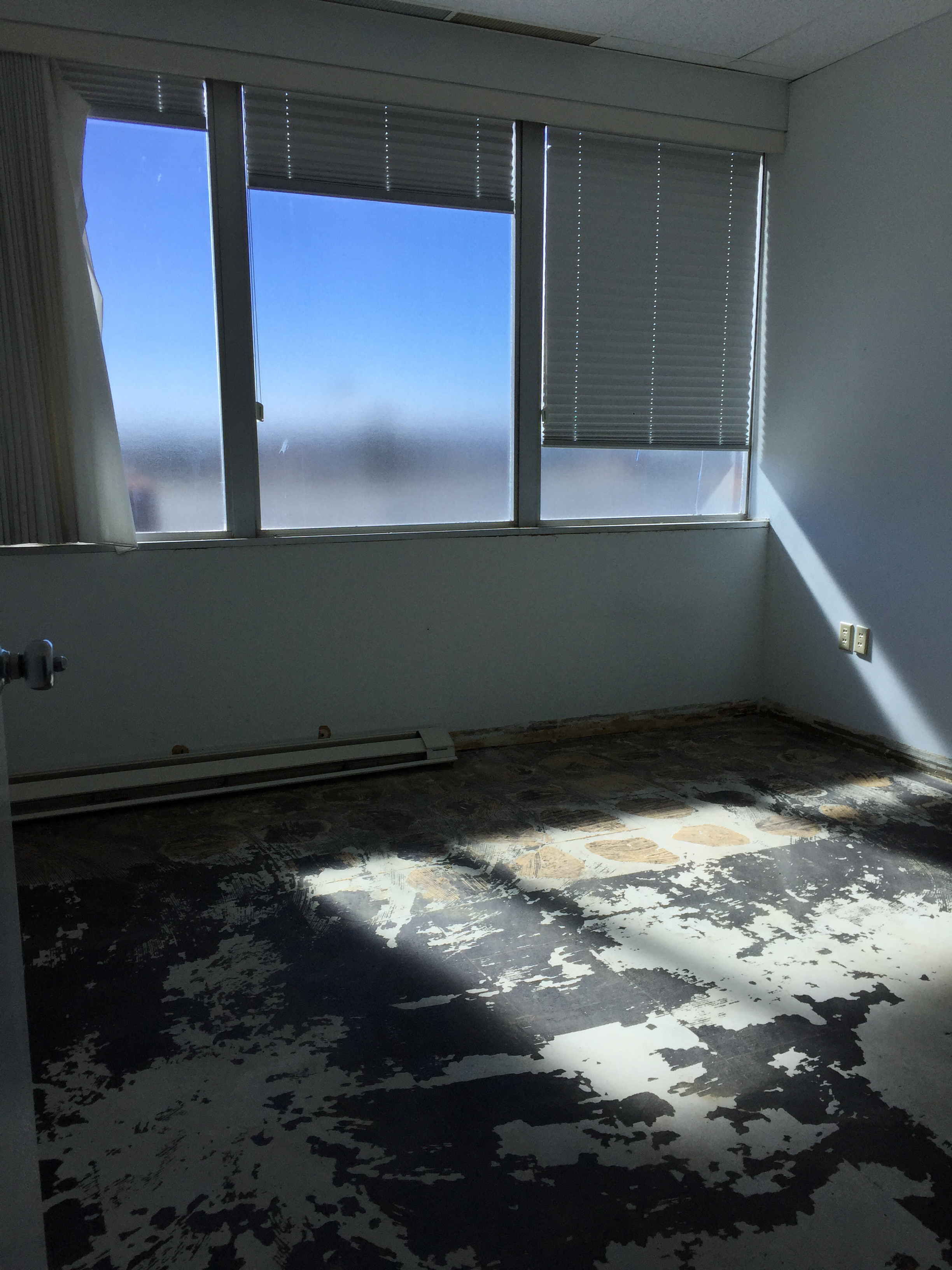
Office Space
Tree Clouded View of the Lantern

The Reading Room with work of Artist Fellows
Bank-Ass

Through The Noise

First State House, Dover, Delaware, 1791
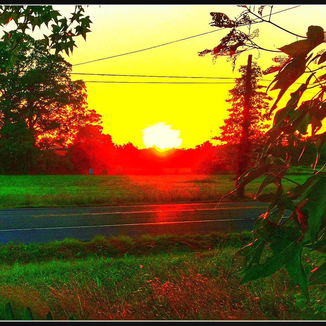
Woodside Sunset - Variations - 8.5.15 #gartoonz
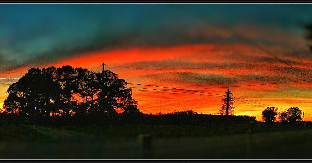
"Across the Universe" Woodside Sunset 9. 2 4 . 2 0 1 5 #gartoonz
WOODSIDE SUNSET 1.10.2016 #gartoonz

Woodside Delaware Sunset - 5.15.15

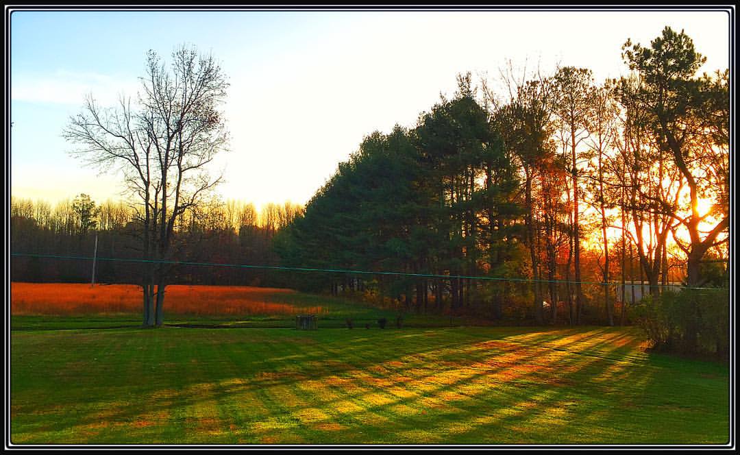
Autumn Colors
Sunrise in Woodside (1), Walkin' the Edison .... #gartoonz

"Balancing Act" Woodside sunset - Woodside, Delaware - 6.9.15

Bog on Nick Carter's property in Cariline County, Md. 01
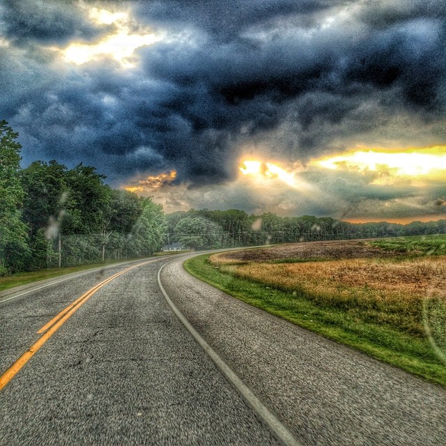
Image created with #Snapseed

Amish farm at sunrise

Loblolly pines and forest floor looking straight ahead

Loblolly pines looking straight ahead

Cinnamon fern 01

Bog on Nick Carter's property in Cariline County, Md. 02

Moss and grass growing on tree in bog

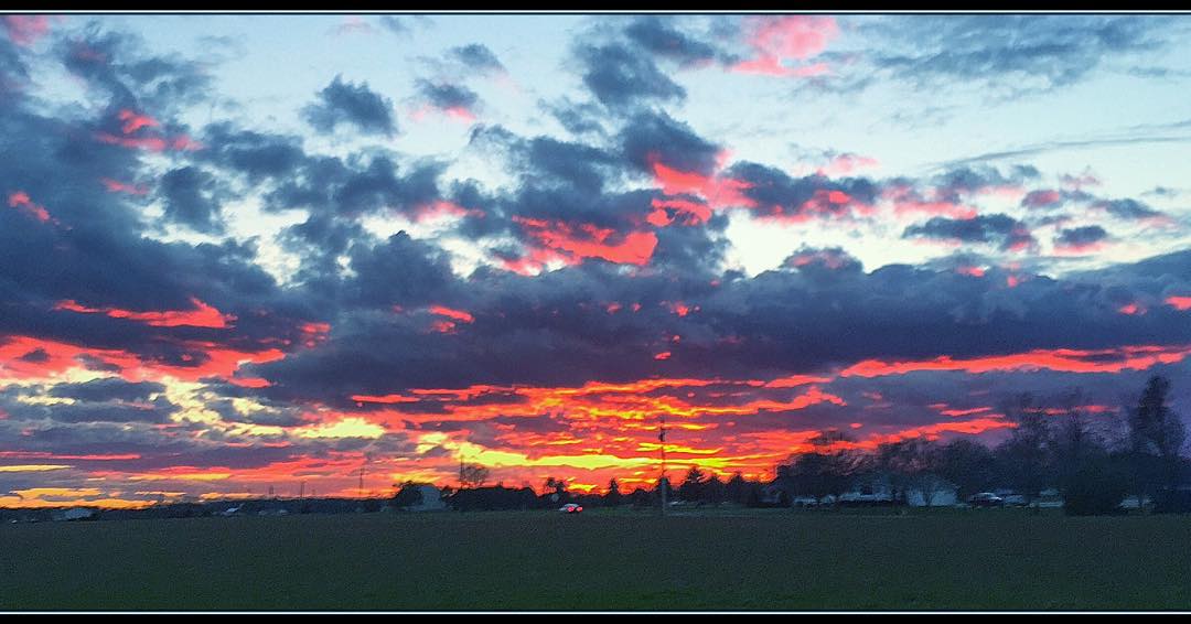
Even the eastern sky glows gold during this "Woodside Sunset" ( 1 ) 1 1 . 2 2 . 2 0 1 5 #gartoonz

USGS dam on upper Choptank River in Caroline County, Md. 03
Wyoming Park
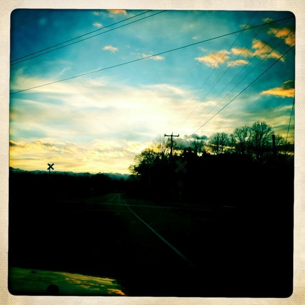
Delware Sky

Nick Carter walking through a bog on his property in Caroline County, Md. 01
Topographic Map of Darling Farm Rd, Camden Wyoming, DE, USA
Find elevation by address:

Places near Darling Farm Rd, Camden Wyoming, DE, USA:
20 Hazlettville Rd, Hartly, DE, USA
Bryants Corner Rd, Hartly, DE, USA
822 Hazlettville Rd
Mud Mill Rd, Camden Wyoming, DE, USA
46 Greenbriar Rd, Hartly, DE, USA
51 Bay Hill Dr
1096 Rd 224
Pearsons Corner
58 Sanders Ln
Forrest Ave, Dover, DE, USA
1367 Hourglass Rd
Mud Mill Rd, Camden Wyoming, DE, USA
815 Sharon Hill Rd
206 Crystal Rd
Judith Road
Mud Mill Rd, Marydel, DE, USA
Marydel
Marydel
Willow Grove Rd, Felton, DE, USA
Hartly
Recent Searches:
- Elevation of Royal Ontario Museum, Queens Park, Toronto, ON M5S 2C6, Canada
- Elevation of Groblershoop, South Africa
- Elevation of Power Generation Enterprises | Industrial Diesel Generators, Oak Ave, Canyon Country, CA, USA
- Elevation of Chesaw Rd, Oroville, WA, USA
- Elevation of N, Mt Pleasant, UT, USA
- Elevation of 6 Rue Jules Ferry, Beausoleil, France
- Elevation of Sattva Horizon, 4JC6+G9P, Vinayak Nagar, Kattigenahalli, Bengaluru, Karnataka, India
- Elevation of Great Brook Sports, Gold Star Hwy, Groton, CT, USA
- Elevation of 10 Mountain Laurels Dr, Nashua, NH, USA
- Elevation of 16 Gilboa Ln, Nashua, NH, USA