Elevation of Daocheng Yading Airport, Airport Rd, Daocheng Xian, Ganzi Zangzuzizhizhou, Sichuan Sheng, China
Location: China > Sichuan > Garze > Daocheng >
Longitude: 100.069262
Latitude: 29.3086448
Elevation: 4415m / 14485feet
Barometric Pressure: 58KPa
Elevation Map:
Satellite Map:
Related Photos:

Landscape of Dabpa county, Tibet 2018

Landscape of Dabpa county, Tibet 2018

20141014_144127_秋遊稻城亞丁

2014-10-18 12-38-54

20141014_145552_秋遊稻城亞丁
20141014_142358_秋遊稻城亞丁

20141014_144529_秋遊稻城亞丁

20141014_142438_秋遊稻城亞丁

20141014_141919_秋遊稻城亞丁

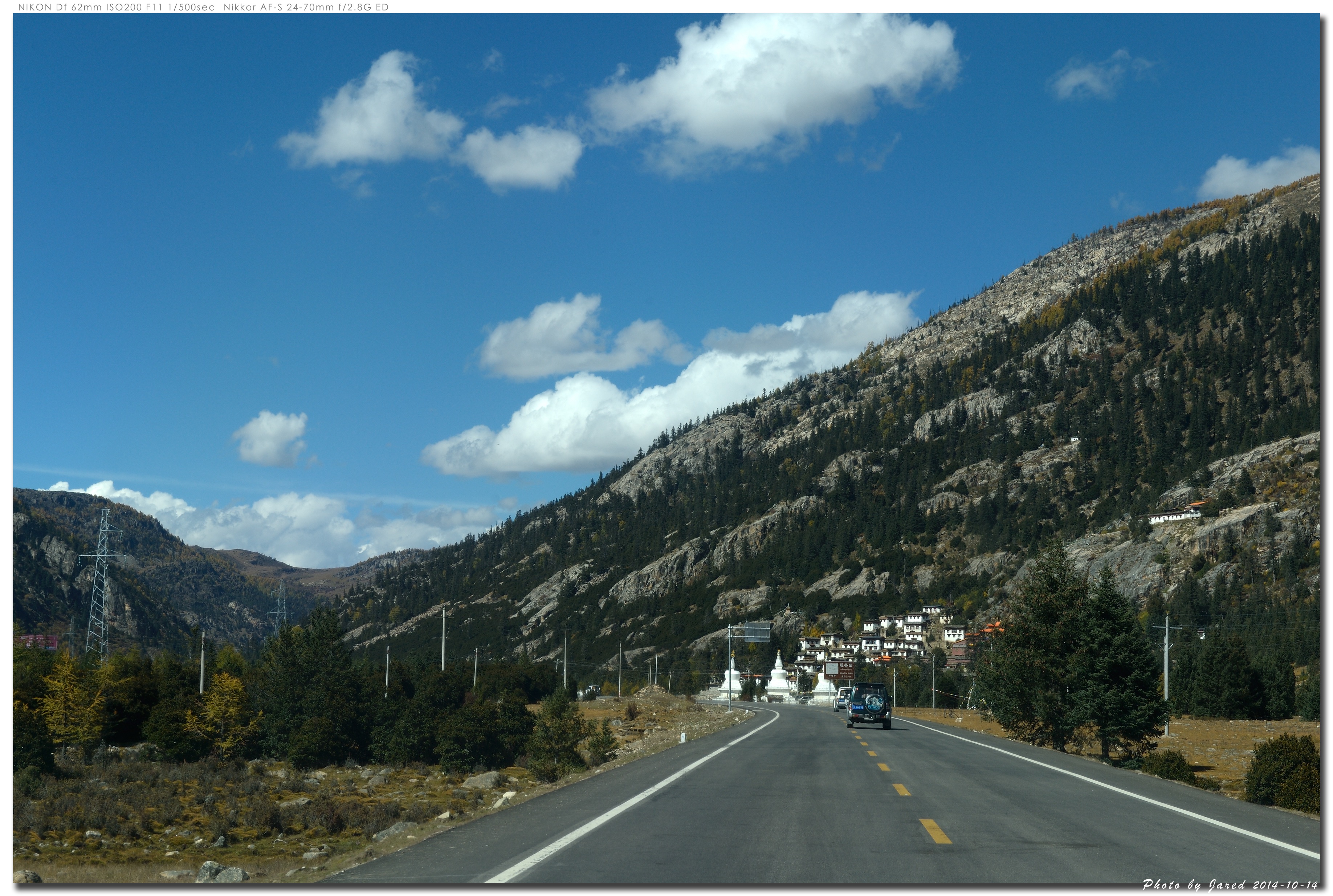
普蚌寺

崩波寺白塔
Topographic Map of Daocheng Yading Airport, Airport Rd, Daocheng Xian, Ganzi Zangzuzizhizhou, Sichuan Sheng, China
Find elevation by address:

Places near Daocheng Yading Airport, Airport Rd, Daocheng Xian, Ganzi Zangzuzizhizhou, Sichuan Sheng, China:
Sangduixiang
Daocheng
Xiazha
Muli
Zhonglu
Ranwuxiang
Yading National Nature Reserve Management Bureau
Recent Searches:
- Elevation of Bella Terra Blvd, Estero, FL, USA
- Elevation of Estates Loop, Priest River, ID, USA
- Elevation of Woodland Oak Pl, Thousand Oaks, CA, USA
- Elevation of Brownsdale Rd, Renfrew, PA, USA
- Elevation of Corcoran Ln, Suffolk, VA, USA
- Elevation of Mamala II, Sariaya, Quezon, Philippines
- Elevation of Sarangdanda, Nepal
- Elevation of 7 Waterfall Way, Tomball, TX, USA
- Elevation of SW 57th Ave, Portland, OR, USA
- Elevation of Crocker Dr, Vacaville, CA, USA