Elevation of Dallas, SD, USA
Location: United States > South Dakota > Gregory County >
Longitude: -99.517053
Latitude: 43.2361121
Elevation: 681m / 2234feet
Barometric Pressure: 93KPa
Elevation Map:
Satellite Map:
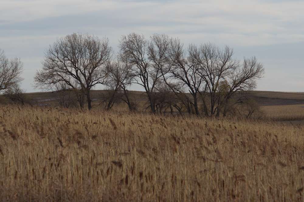
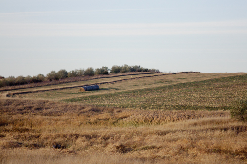
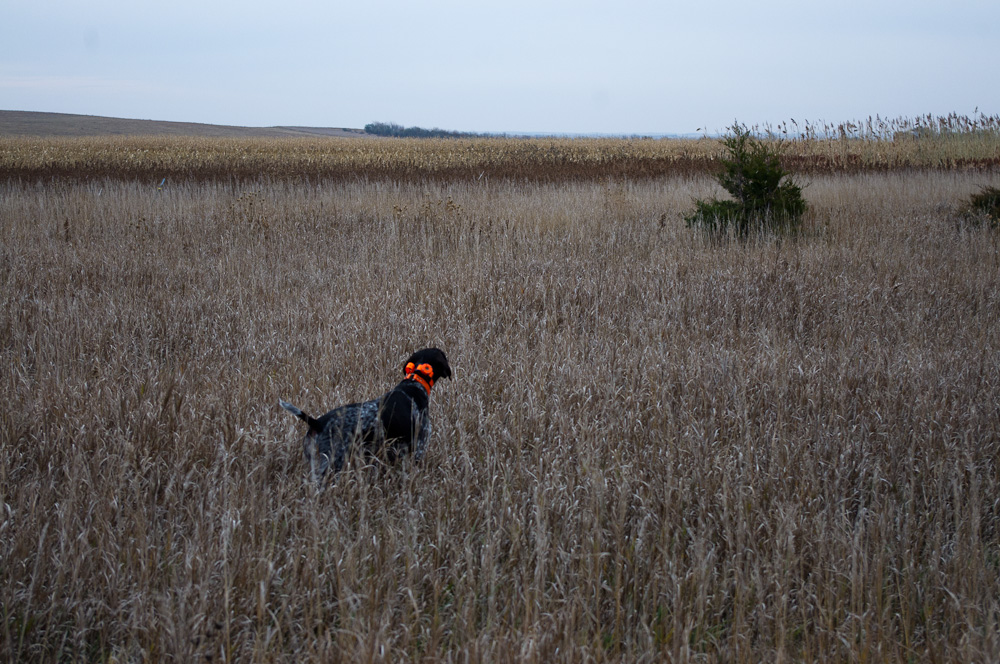
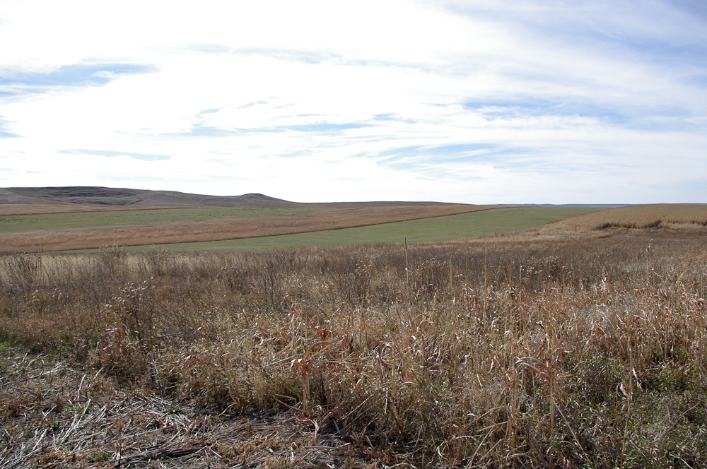
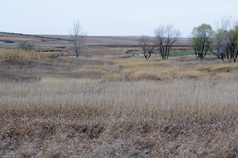
Related Photos:

20101031-IMGP1419.jpg
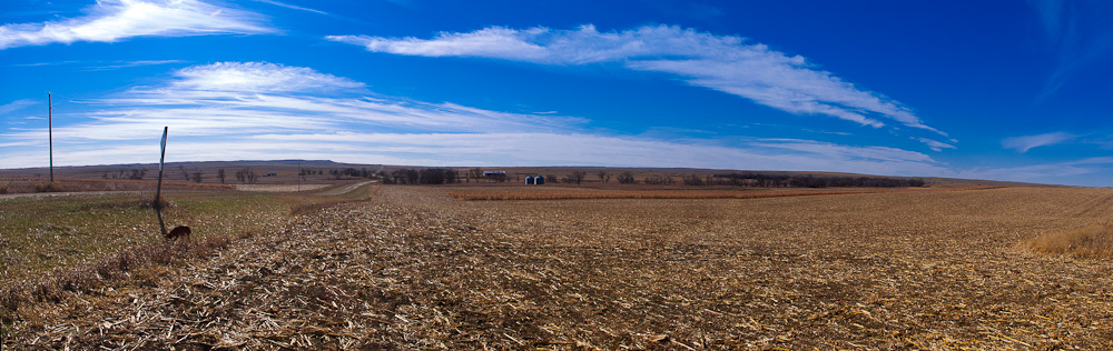
pano.jpg

20101031-IMGP1417.jpg

20101030-IMGP1371.jpg

20101031-IMGP1416.jpg
20101028-IMGP1155.jpg

20101031-IMGP1415.jpg
20101028-IMGP1166.jpg
20101031-IMGP1422.jpg

20101031-IMGP1413.jpg
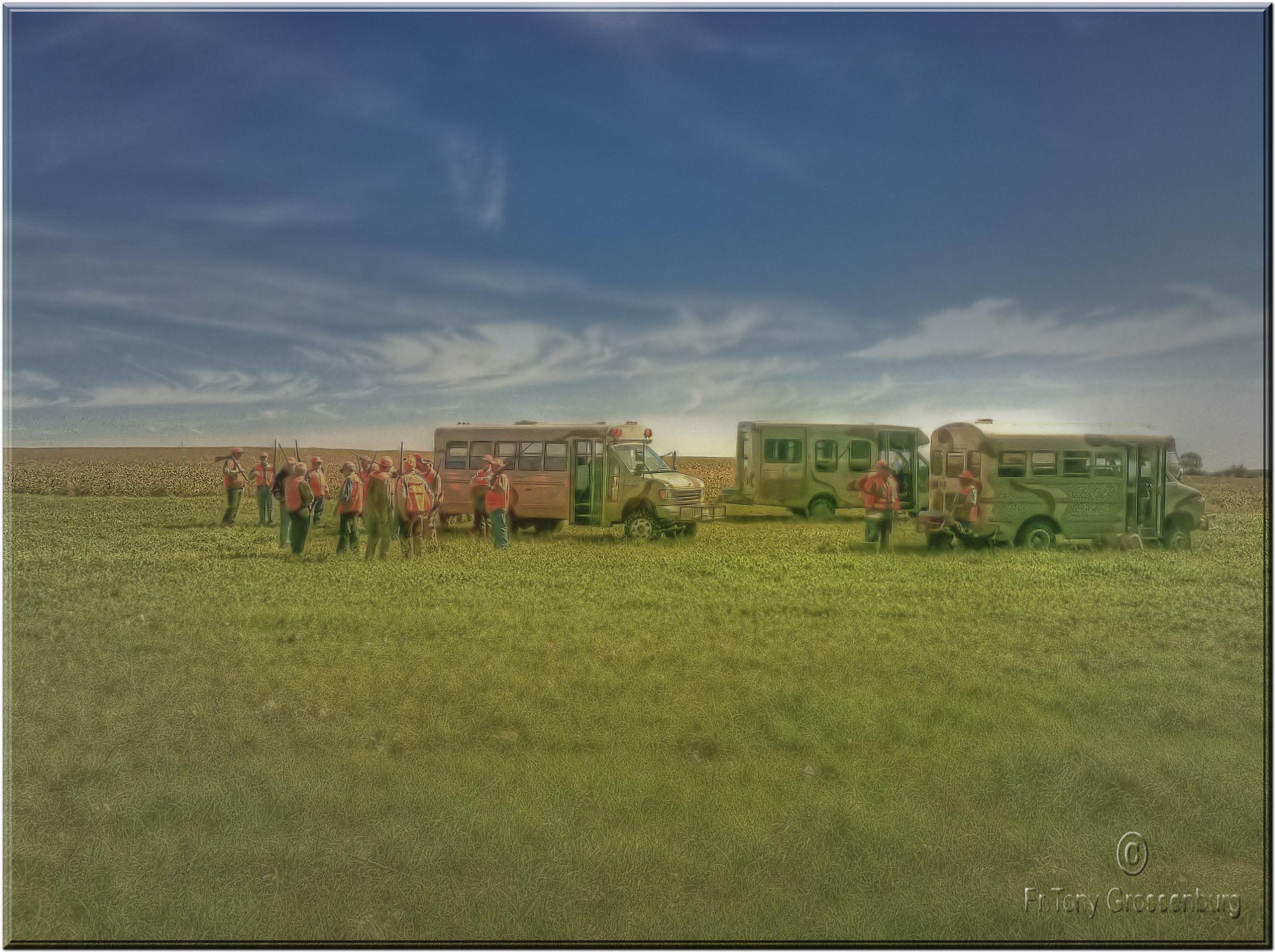
getting ready to hunt
20101029-IMGP1299.jpg

20101028-IMGP1152.jpg

20101031-IMGP1420.jpg
20101028-IMGP1158.jpg

20101028-IMGP1140.jpg
20101031-IMGP1412.jpg

20101029-IMGP1306.jpg
20101029-IMGP1218.jpg

20101029-IMGP1266.jpg
20101029-IMGP1277.jpg
Topographic Map of Dallas, SD, USA
Find elevation by address:

Places near Dallas, SD, USA:
32951 290th St
Main St, Gregory, SD, USA
Gregory
720 Felton Ave
32949 292nd St
32949 292nd St
Elliston Township
Dixon Township
Colome
409 Main St
Main St, Colome, SD, USA
Colome High School
408 W 6th St
Tripp County
Stewart Township
33376 Buffalo Butte Rd
28954 321st Ave
28346 321st Ave
28324 320th Ave
32153 296th St
Recent Searches:
- Elevation of Zimmer Trail, Pennsylvania, USA
- Elevation of 87 Kilmartin Ave, Bristol, CT, USA
- Elevation of Honghe National Nature Reserve, QP95+PJP, Tongjiang, Heilongjiang, Jiamusi, Heilongjiang, China
- Elevation of Hercules Dr, Colorado Springs, CO, USA
- Elevation of Szlak pieszy czarny, Poland
- Elevation of Griffing Blvd, Biscayne Park, FL, USA
- Elevation of Kreuzburger Weg 13, Düsseldorf, Germany
- Elevation of Gateway Blvd SE, Canton, OH, USA
- Elevation of East W.T. Harris Boulevard, E W.T. Harris Blvd, Charlotte, NC, USA
- Elevation of West Sugar Creek, Charlotte, NC, USA