Elevation of Dalhousie, NB, Canada
Location: Canada > New Brunswick > Restigouche County >
Longitude: -66.517635
Latitude: 48.0026131
Elevation: 95m / 312feet
Barometric Pressure: 100KPa
Elevation Map:
Satellite Map:
Related Photos:

Inch Arran Point Range Lighthouse #Canada150

First view of New Brunswick from the train

Lighthouse in Dalhousie

Sugarloaf, Campbellton NB

Pointe-à-la-Croix, Quebec

Pointe-à-la-Croix, Quebec
Campbellton, N.B, Van horne bridge

Canada, au Québec, le viaduc Van Horne Bridge sur la Rivière Restigouche
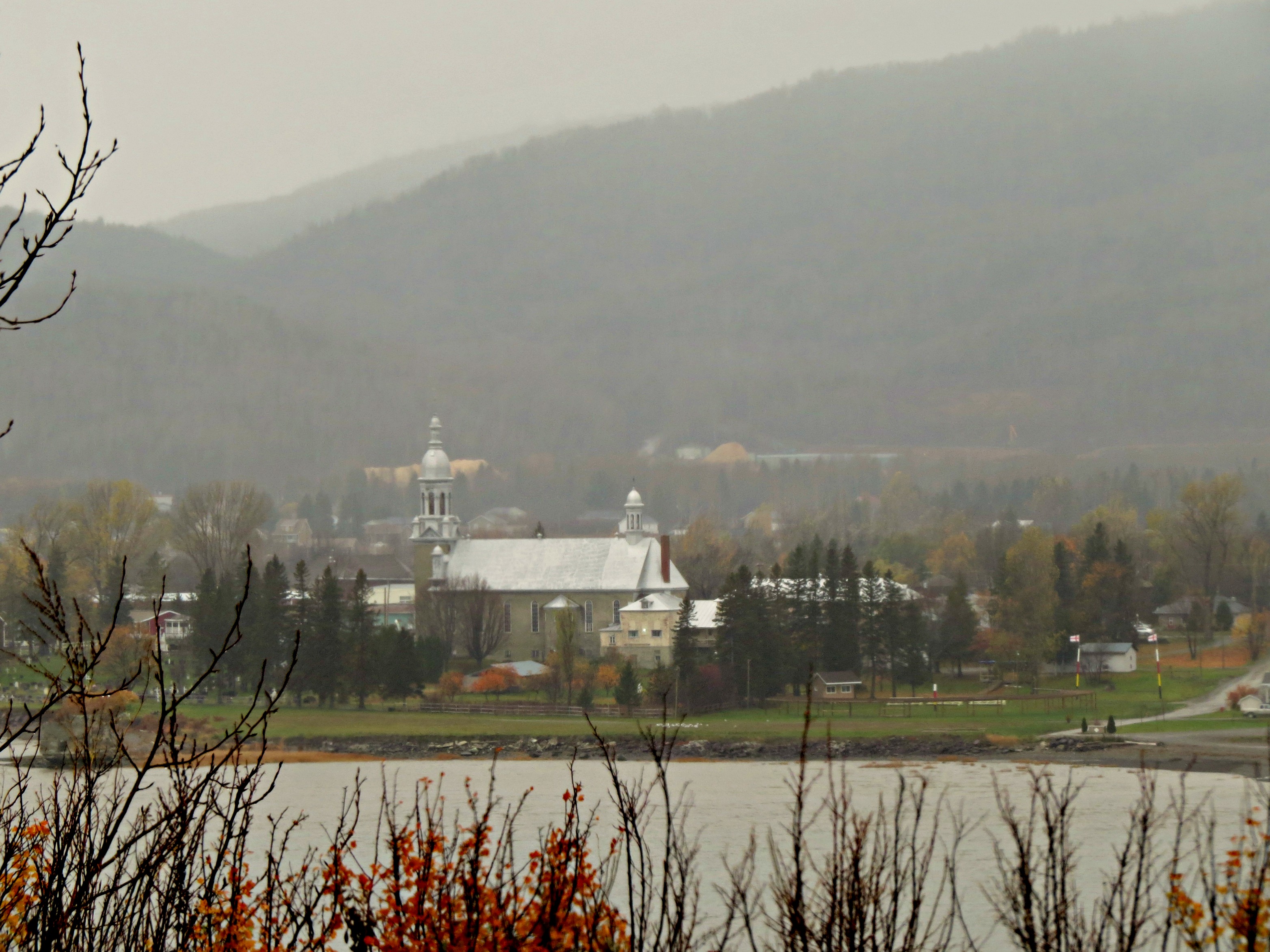
Rain and mist over the mountains and Church across the Restigouche River in Listuguj, Quebec from Atholville, New Brunswick
Sunset over Eastern Quebec, Canada

Sunset over Eastern Quebec, Canada

Sunset over Eastern Quebec, Canada

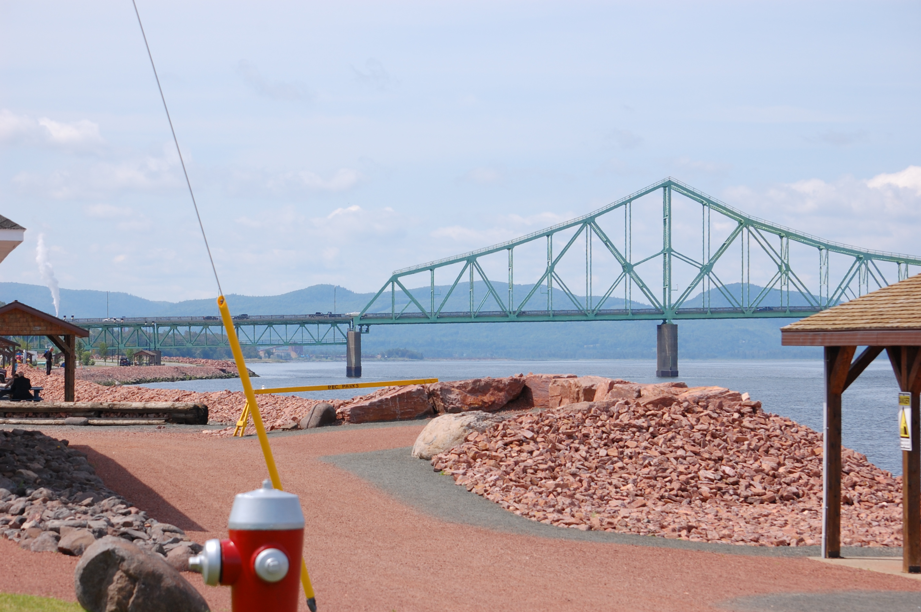
J.C. Van Horne Bridge

J.C. Van Horne Bridge

Un moment près de la baie / One moment along the bay (1-2)

Looking Across the Bay and Backward in Time(?)

Campbellton, New Brunswick

Pointe-à-la-Croix, Quebec

Quidi Vidi,St.John's,NL

Pointe-à-la-Croix, QC and Campbellton, NB 20050611 008 Restigouche River, J C Van Horne Bridge

Campbellton, New Brunswick Photo J.C. Van Horne Interprovincial Bridge Open In 1967 Between Pointe-à-la-Croix Quebec And NB

Bathurst, New Brunswick Photo Shores Of Quebec

Campbellton, New Brunswick Photo Looking At Quebec
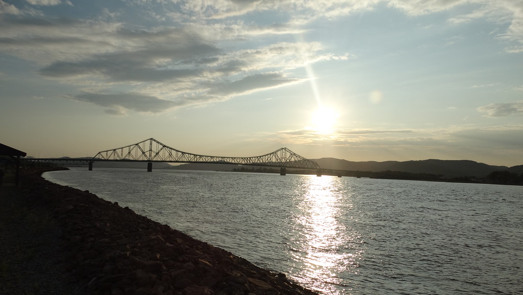
Campbellton, New Brunswick Photo J.C. Van Horne Interprovincial Bridge Open In 1967 Between Pointe-à-la-Croix Quebec And NB

Bathurst, New Brunswick Photo Shores Of Quebec

Restigouche, Quebec from New Brunswick
Topographic Map of Dalhousie, NB, Canada
Find elevation by address:

Places in Dalhousie, NB, Canada:
Places near Dalhousie, NB, Canada:
Dundee
434 Nb-280
434 Nb-280
434 Nb-280
Restigouche River
Pointe-à-la-garde
32 QC-, Pointe-à-la-Garde, QC G0C 2M0, Canada
Escuminac
Escuminac
King Street
7 Patterson St
Campbellton
Sugarloaf Senior High School
E3n 2k4
Pointe-à-la-croix
Pointe-à-la-croix
25 Savoie Ave
Atholville
Avignon Regional County Municipality
L'alverne
Recent Searches:
- Elevation of Congressional Dr, Stevensville, MD, USA
- Elevation of Bellview Rd, McLean, VA, USA
- Elevation of Stage Island Rd, Chatham, MA, USA
- Elevation of Shibuya Scramble Crossing, 21 Udagawacho, Shibuya City, Tokyo -, Japan
- Elevation of Jadagoniai, Kaunas District Municipality, Lithuania
- Elevation of Pagonija rock, Kranto 7-oji g. 8"N, Kaunas, Lithuania
- Elevation of Co Rd 87, Jamestown, CO, USA
- Elevation of Tenjo, Cundinamarca, Colombia
- Elevation of Côte-des-Neiges, Montreal, QC H4A 3J6, Canada
- Elevation of Bobcat Dr, Helena, MT, USA