Elevation of Dakhla, Morocco, Morocco
Location: Morocco >
Longitude: -12.163271
Latitude: 27.8521664
Elevation: 69m / 226feet
Barometric Pressure: 100KPa
Elevation Map:
Satellite Map:
Related Photos:

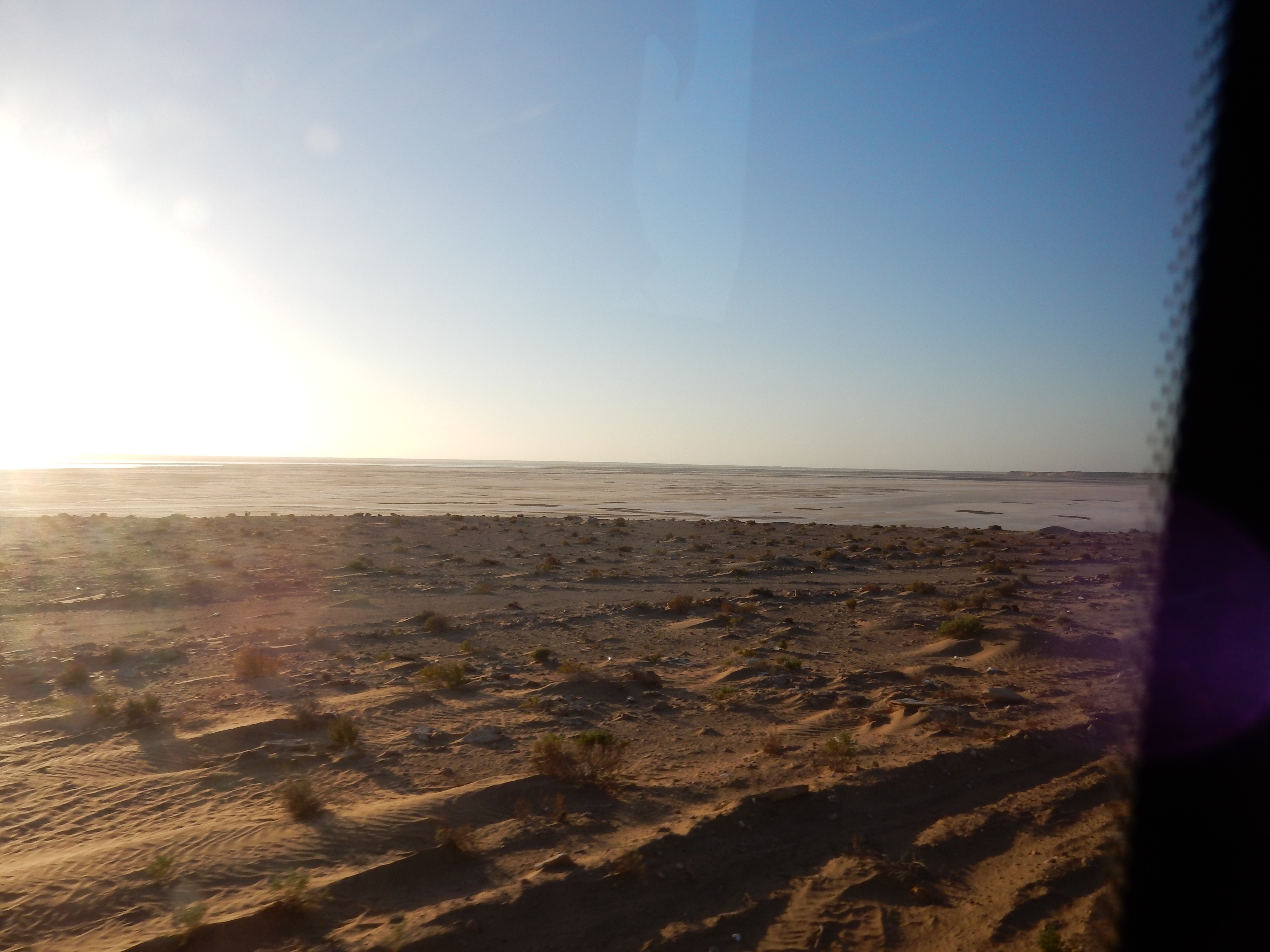
Views of Sahara

Views of Sahara

Views of Sahara

Morocco - Sahara Coastline - Tan-Tan

Road Trip between Sidi Ifni & Dakhla
Road Trip between Sidi Ifni & Dakhla

Road Trip between Sidi Ifni & Dakhla
Topographic Map of Dakhla, Morocco, Morocco
Find elevation by address:

Places near Dakhla, Morocco, Morocco:
Recent Searches:
- Elevation of 6 Muir St, Medowie NSW, Australia
- Elevation of Woodland Road, Woodland Rd, Lee, MA, USA
- Elevation of Turner Mill Rd, Talladega, AL, USA
- Elevation of Wylie Ridge Rd, New Cumberland, WV, USA
- Elevation of Dogwood Ln, Millsboro, DE, USA
- Elevation of Paseo Lucido, San Diego, CA, USA
- Elevation of W S, Orem, UT, USA
- Elevation of Water Bird Wy, Punta Gorda, FL, USA
- Elevation of Teiskontie 8, Tampere, Finland
- Elevation of Pacific View Dr, Malibu, CA, USA