Elevation of Dahilayan, Manolo Fortich, Bukidnon, Philippines
Location: Philippines > Northern Mindanao > Bukidnon > Manolo Fortich >
Longitude: 124.856898
Latitude: 8.2211277
Elevation: 1064m / 3491feet
Barometric Pressure: 89KPa
Elevation Map:
Satellite Map:
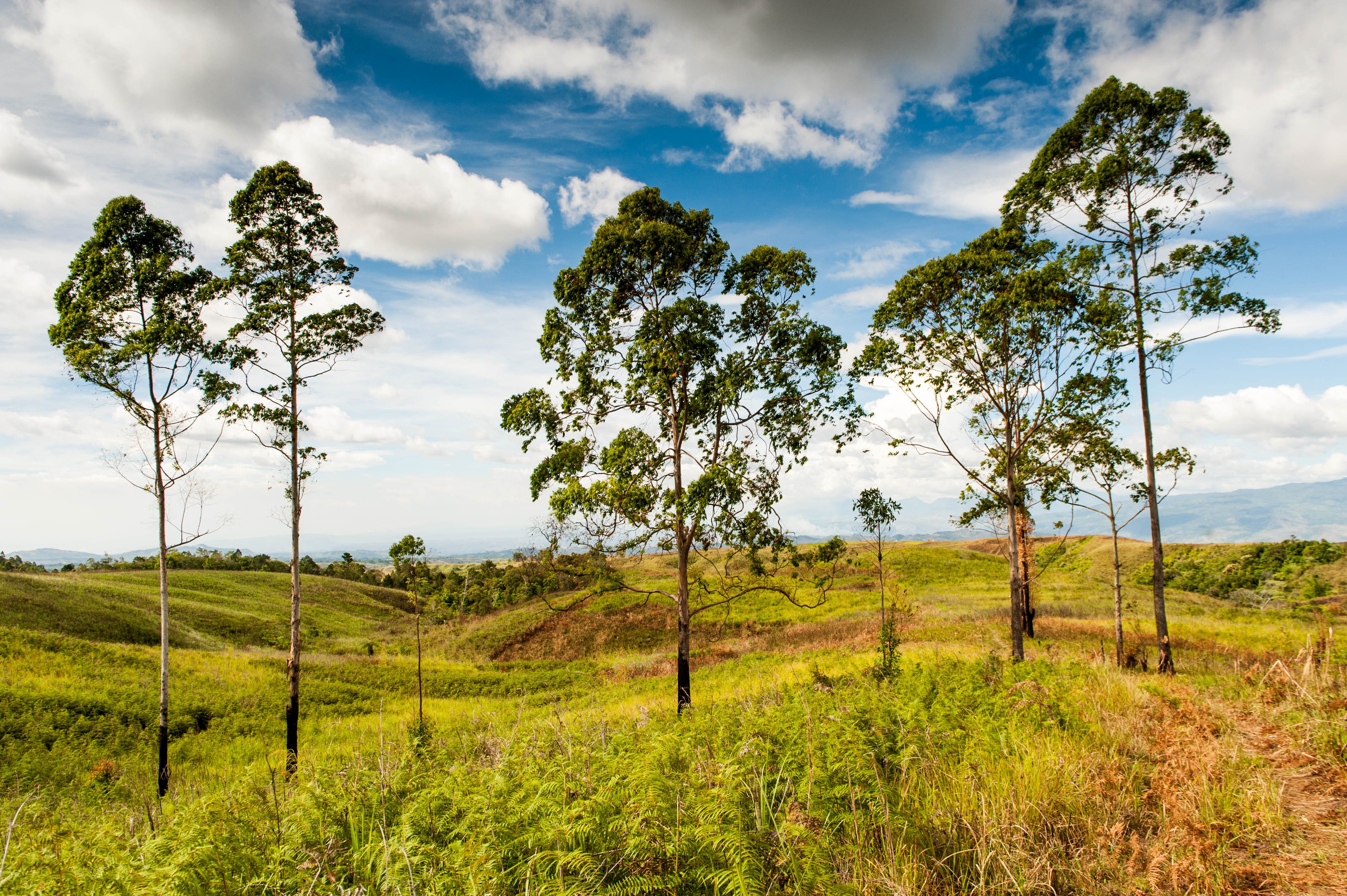
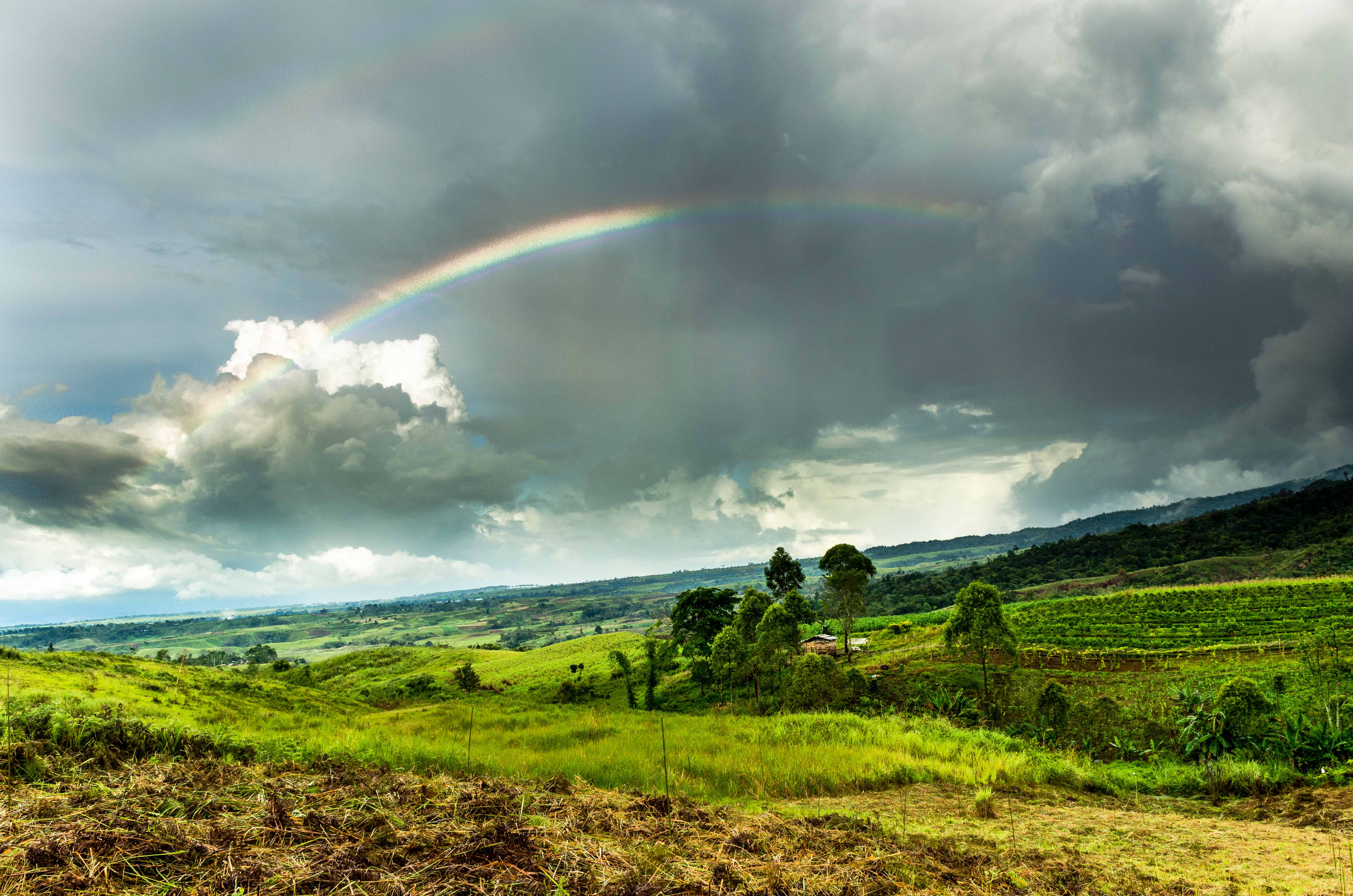
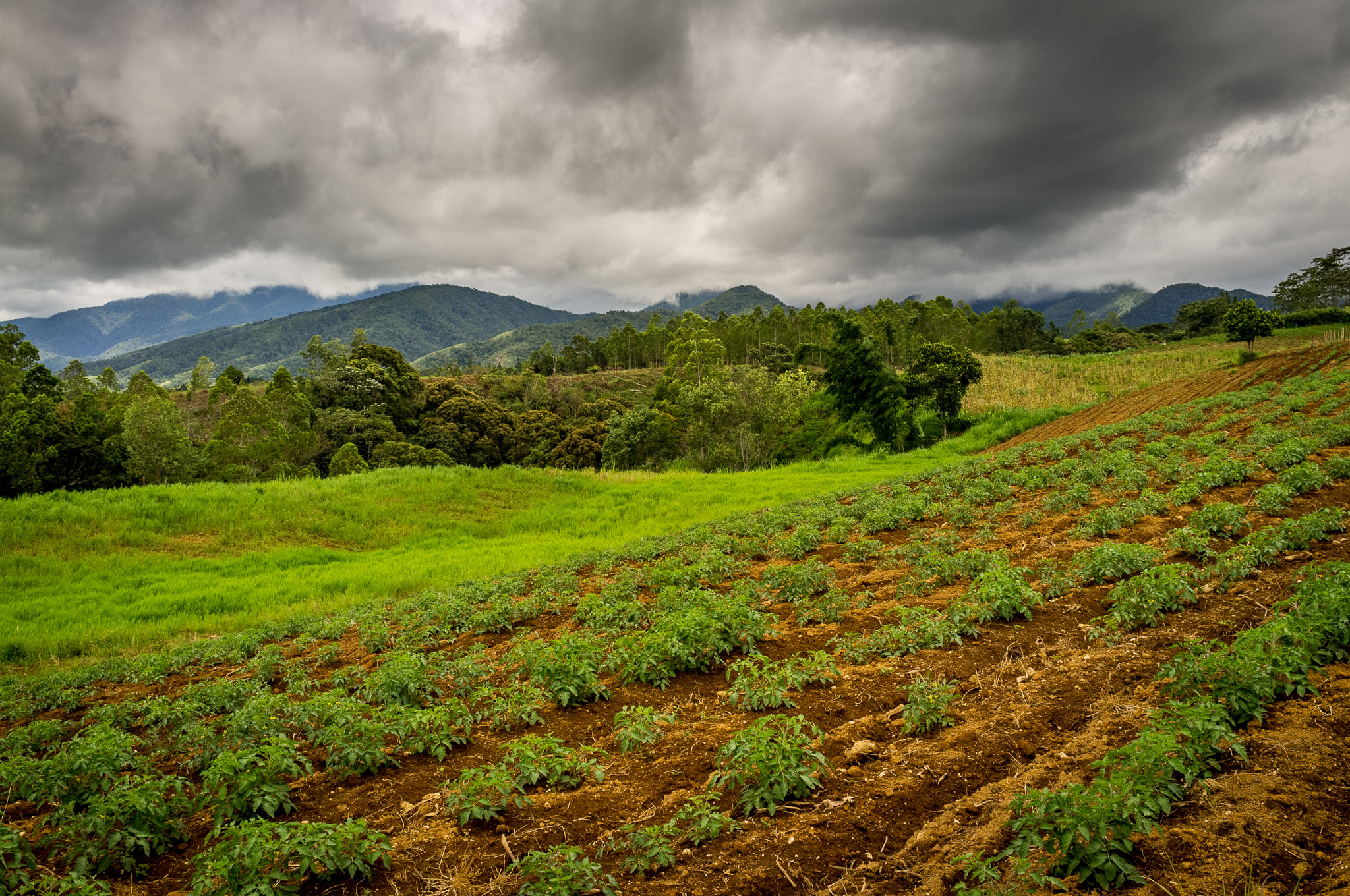
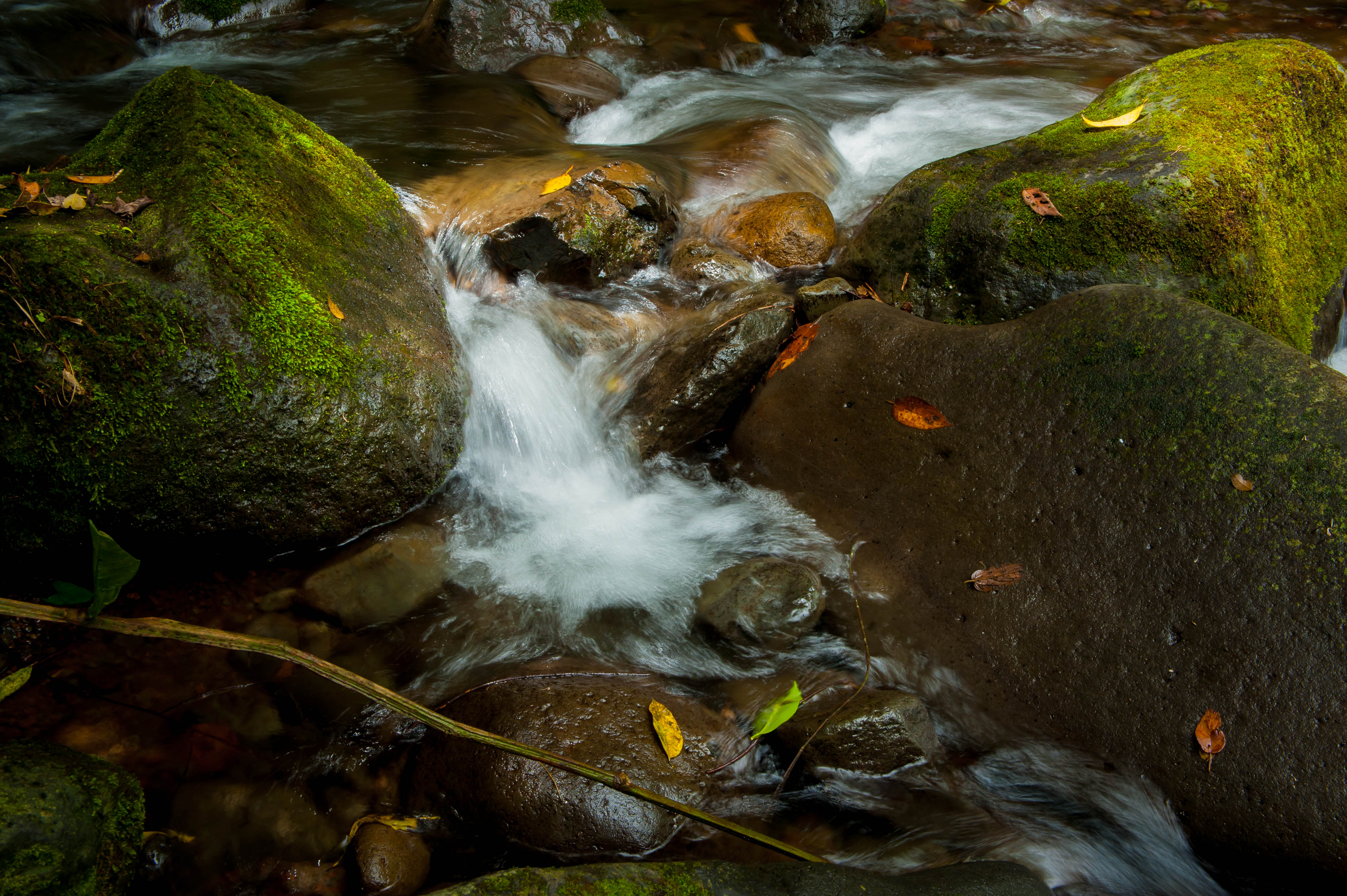
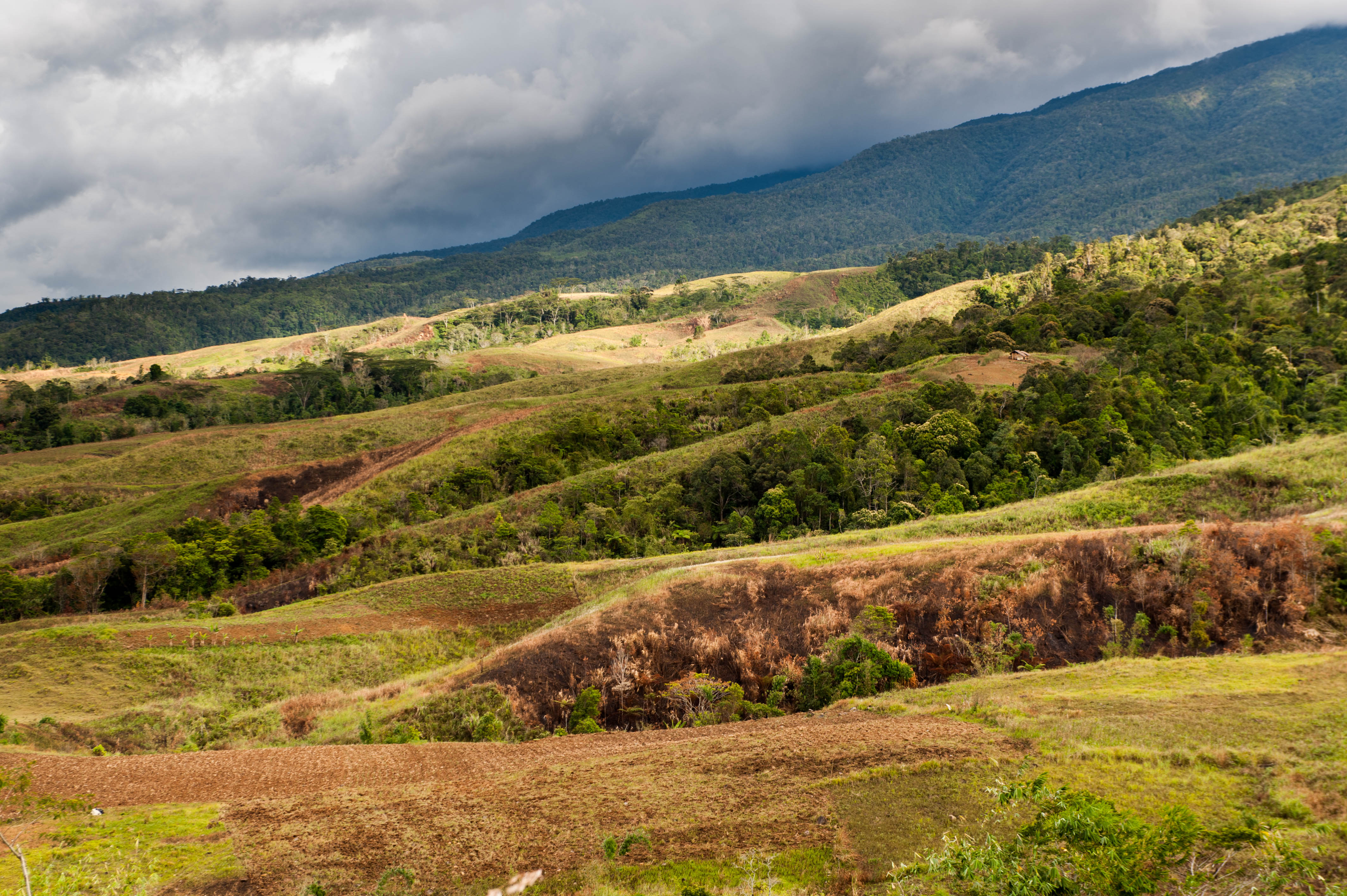
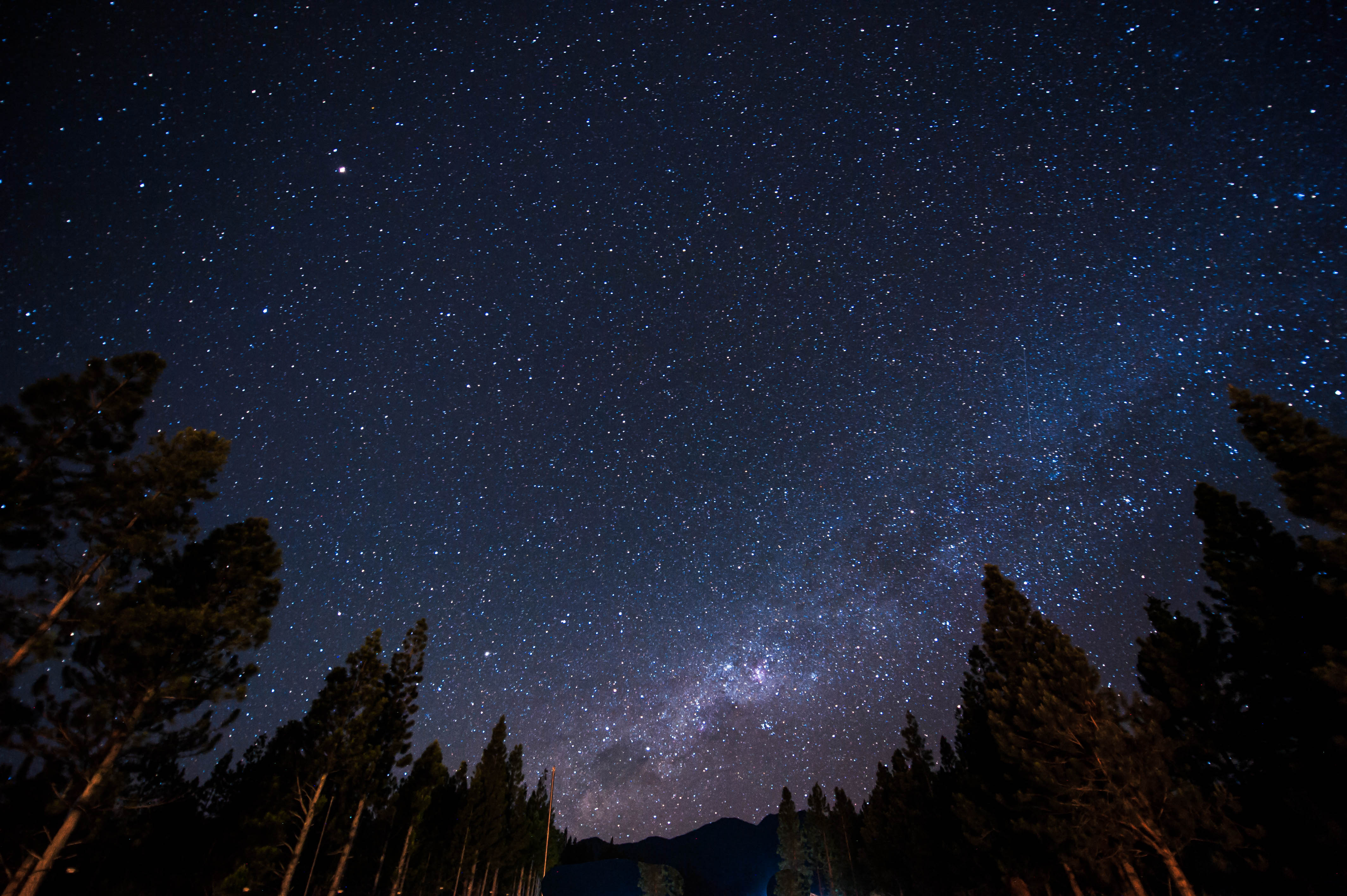
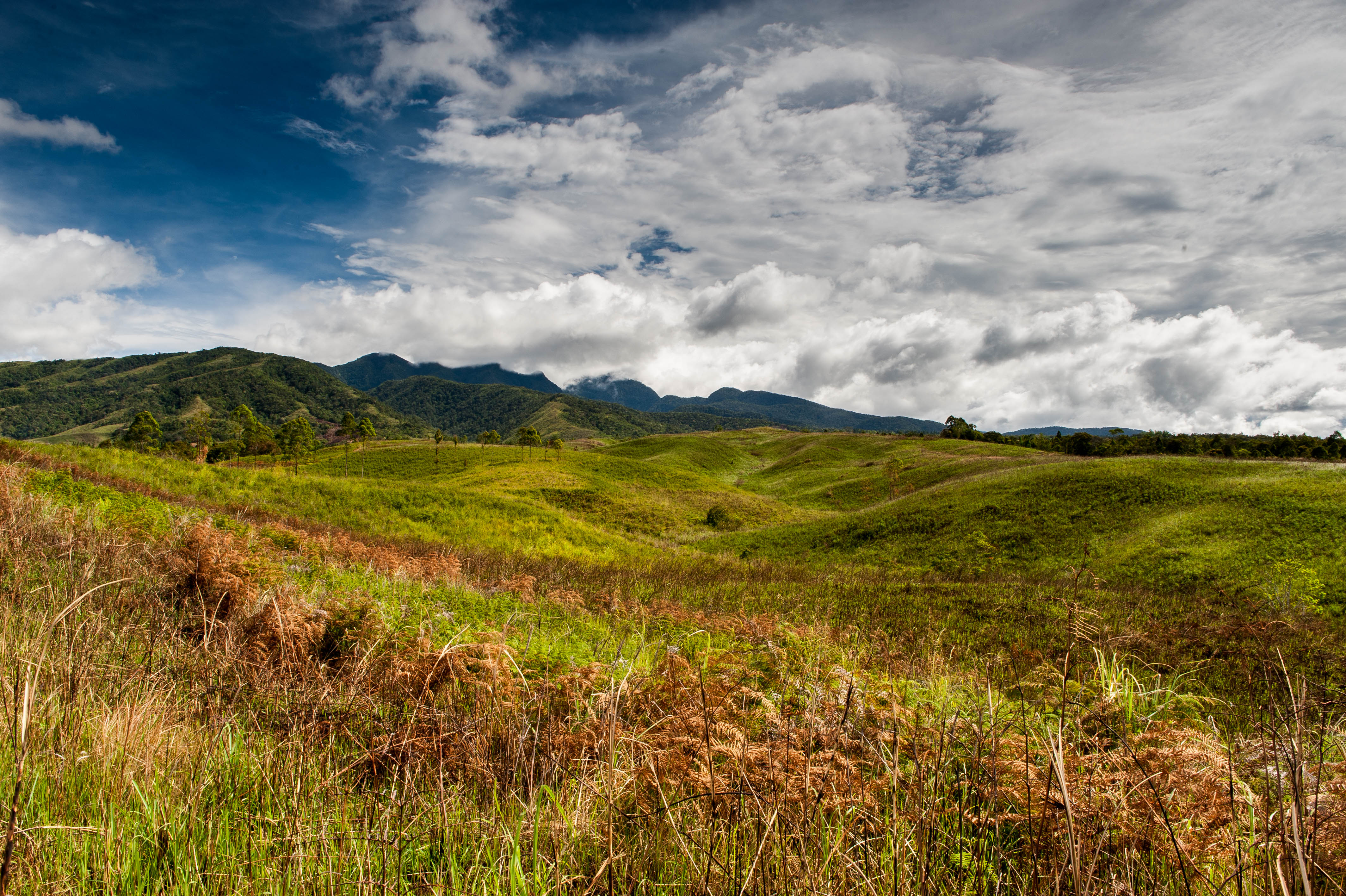
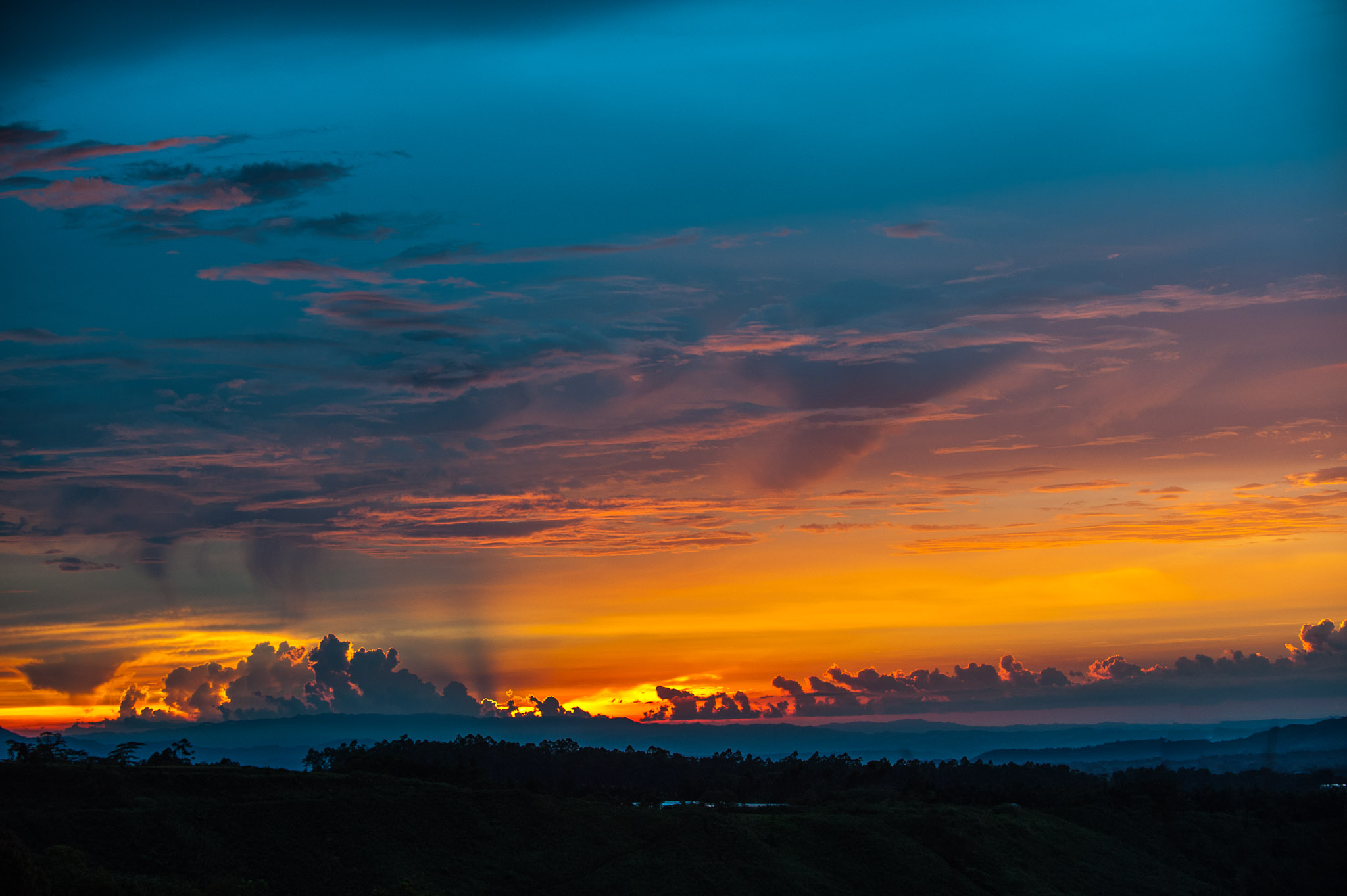
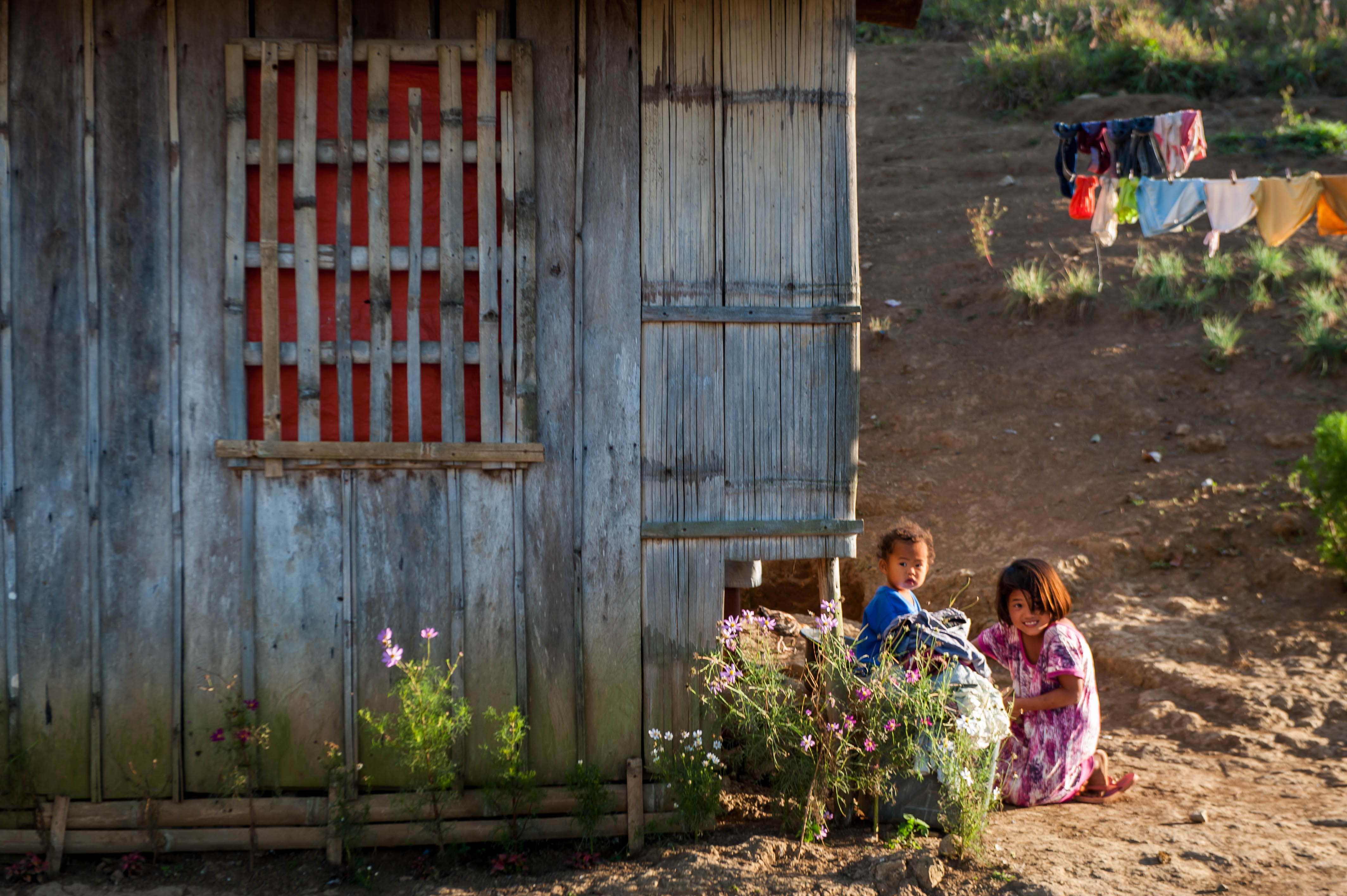
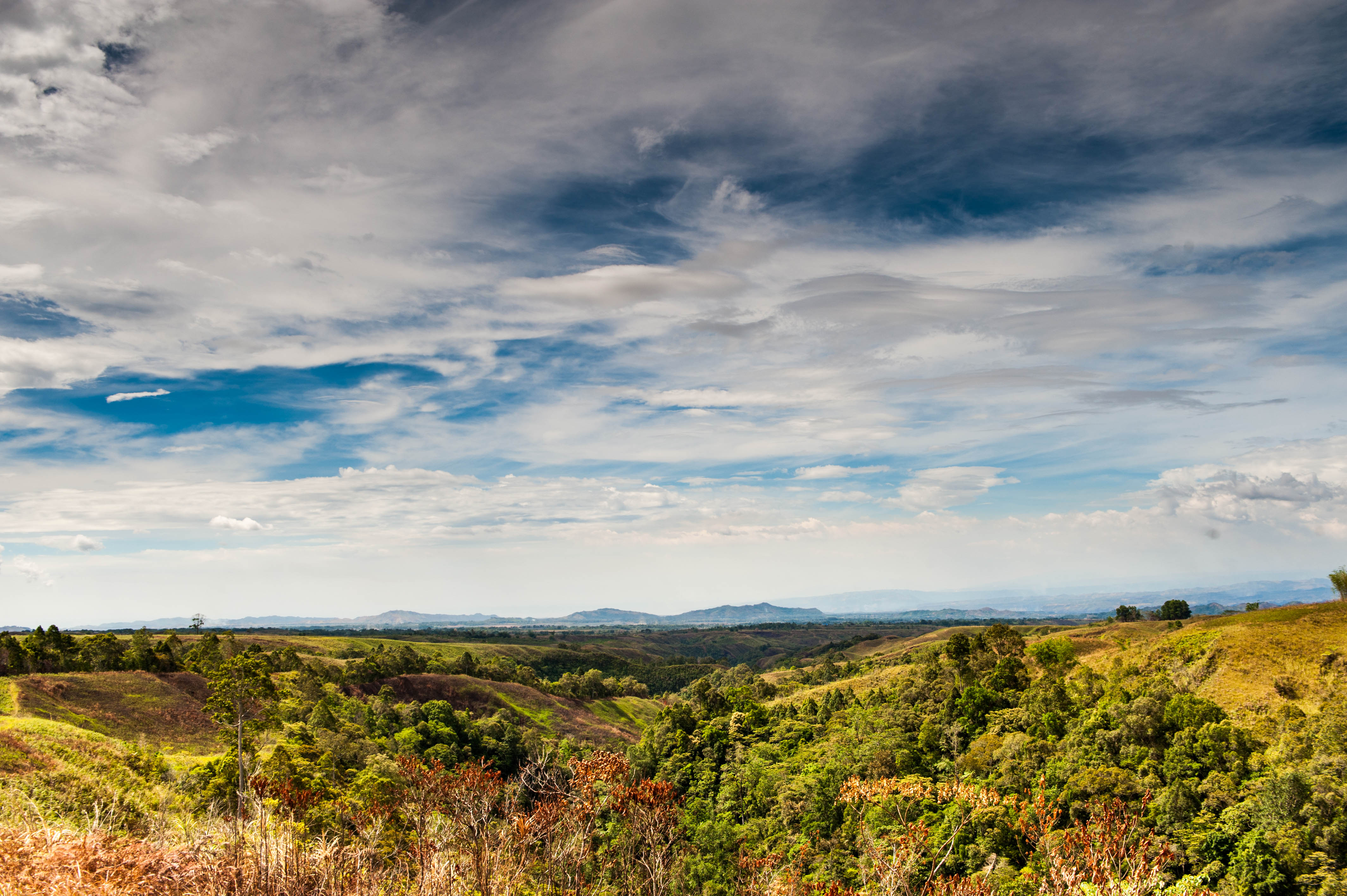
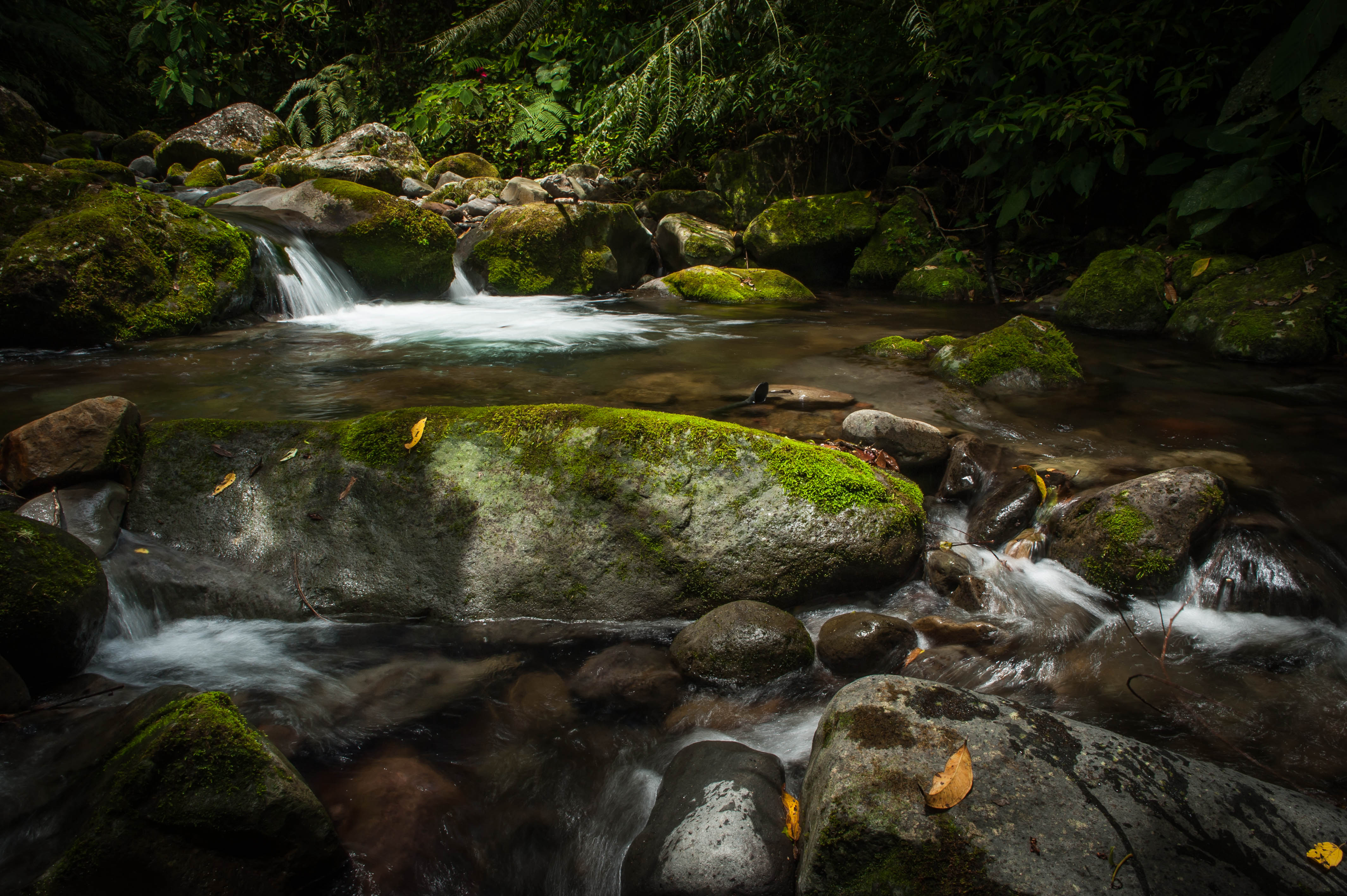
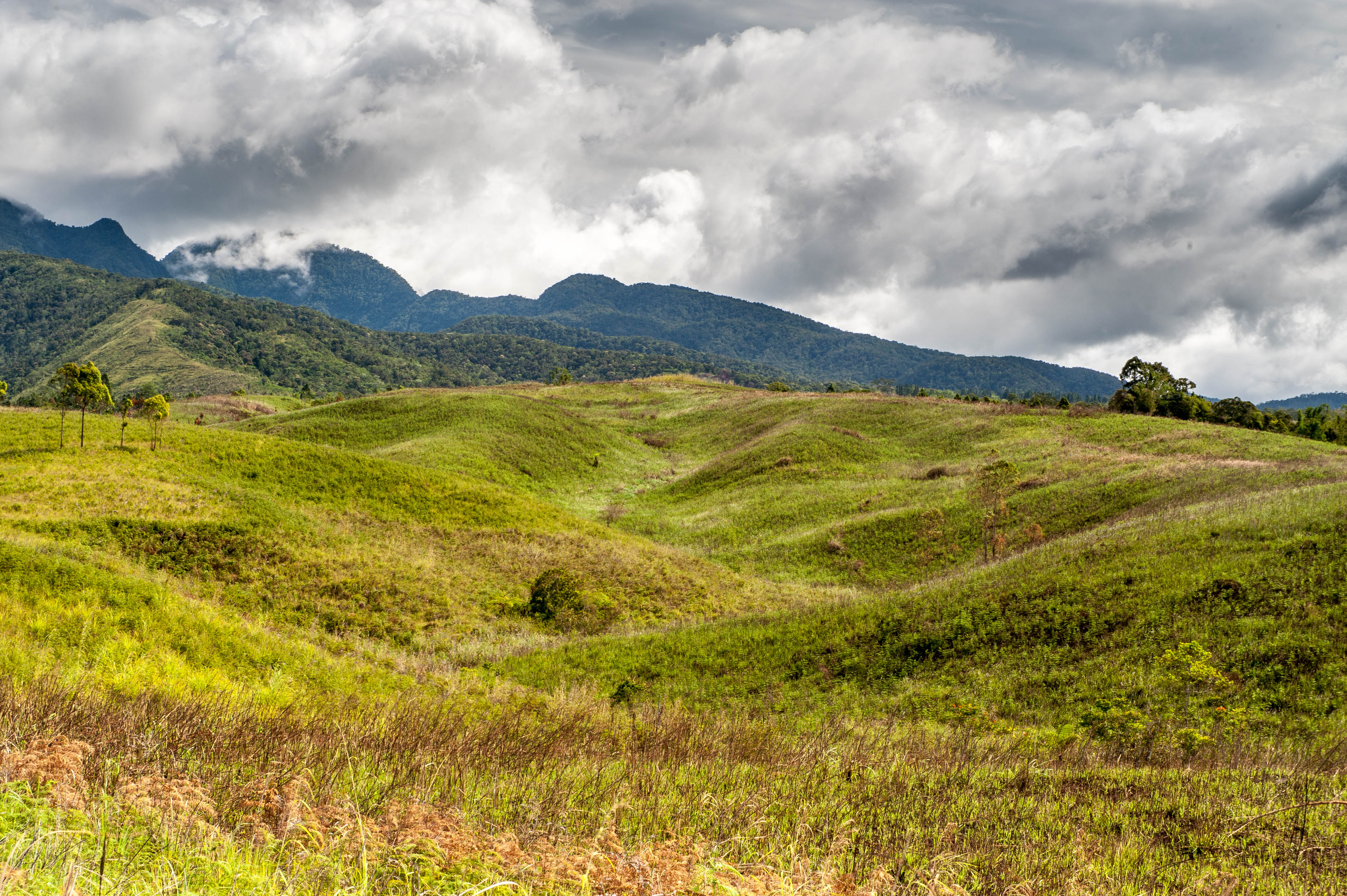
Related Photos:
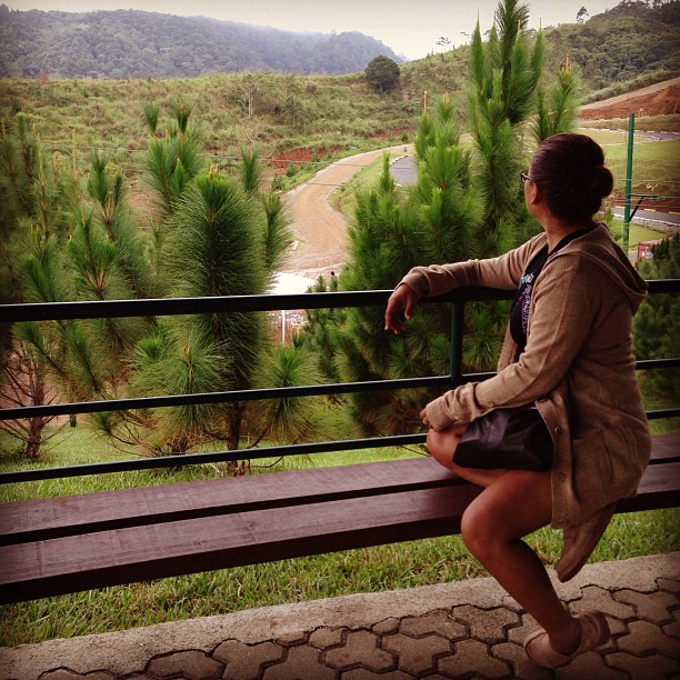
@itsmehhblaise @msrushiiii embracing the weather & view. much have changed since
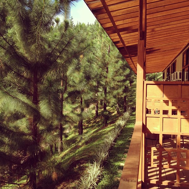
view from our room
mpp polar.jpg

DSC_7153.jpg
DSC_7147.jpg

20130525-DSCF2844.jpg
DSC_2843.jpg
20120424-DSC_6674.jpg

DSC_2759.jpg
20130530-DSCF2932.jpg

DSC_6483-2.jpg
DSC_7093.jpg
DSC_2949.jpg
DSC_6481.jpg
DSC_2785.jpg
20130602-DSC_6682.jpg
DSC_1536.jpg
DSC_2746.jpg
DSC_7113.jpg

20130518-DSC_4811-Edit
DSC_2796.jpg

DSC_2720.jpg
DSC_7447.jpg
Topographic Map of Dahilayan, Manolo Fortich, Bukidnon, Philippines
Find elevation by address:

Places near Dahilayan, Manolo Fortich, Bukidnon, Philippines:
Mountain Pines Farm
Dahilayan Adventure Park
Mountain Pines Place
Dahilayan Forest Park
Dahilayan Forest Park Resort
Lupiagan
Intavas
Intavas Foursquare Church
Mount Kitanglad
Kibenton
Mount Katanglad
Mount Dulang-dulang
Lirongan
Dalwangan
Cedar
Malaybalay Stock Farm
Da-nomiarc
Center For Ecological Development And Recreation
Dalwangan Elementary School
Mount Kibuwa
Recent Searches:
- Elevation of Unnamed Road, Respublika Severnaya Osetiya — Alaniya, Russia
- Elevation of Verkhny Fiagdon, North Ossetia–Alania Republic, Russia
- Elevation of F. Viola Hiway, San Rafael, Bulacan, Philippines
- Elevation of Herbage Dr, Gulfport, MS, USA
- Elevation of Lilac Cir, Haldimand, ON N3W 2G9, Canada
- Elevation of Harrod Branch Road, Harrod Branch Rd, Kentucky, USA
- Elevation of Wyndham Grand Barbados Sam Lords Castle All Inclusive Resort, End of Belair Road, Long Bay, Bridgetown Barbados
- Elevation of Iga Trl, Maggie Valley, NC, USA
- Elevation of N Co Rd 31D, Loveland, CO, USA
- Elevation of Lindever Ln, Palmetto, FL, USA