Elevation of Dabat, Ethiopia
Location: Ethiopia > Amhara > North Gondar >
Longitude: 37.7622971
Latitude: 12.9813794
Elevation: 2578m / 8458feet
Barometric Pressure: 74KPa
Elevation Map:
Satellite Map:
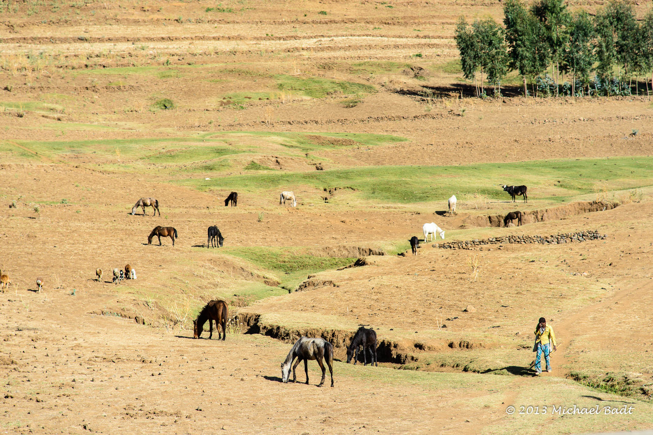
Related Photos:

View from the Simien Mountains
ETP-4098-20130122.jpg

Dacua village

Dacua village

Taran din Dacua

Dacua village

09112015-IMG_7142-Modifier.jpg

09112015-IMG_7132-Modifier.jpg
Topographic Map of Dabat, Ethiopia
Find elevation by address:

Places near Dabat, Ethiopia:
Recent Searches:
- Elevation of Brooks Lp, Spearfish, SD, USA
- Elevation of Panther Dr, Maggie Valley, NC, USA
- Elevation of Jais St - Wadi Shehah - Ras al Khaimah - United Arab Emirates
- Elevation of Shawnee Avenue, Shawnee Ave, Easton, PA, USA
- Elevation of Scenic Shore Dr, Kingwood Area, TX, USA
- Elevation of W Prive Cir, Delray Beach, FL, USA
- Elevation of S Layton Cir W, Layton, UT, USA
- Elevation of F36W+3M, Mussoorie, Uttarakhand, India
- Elevation of Fairland Ave, Fairhope, AL, USA
- Elevation of Sunset Dr, Richmond, VA, USA