Elevation map of Cuyabeno, Ecuador
Location: Ecuador > Sucumbíos Province >
Longitude: -75.620808
Latitude: -0.3630934
Elevation: 229m / 751feet
Barometric Pressure: 99KPa
Elevation Map:
Satellite Map:
Related Photos:

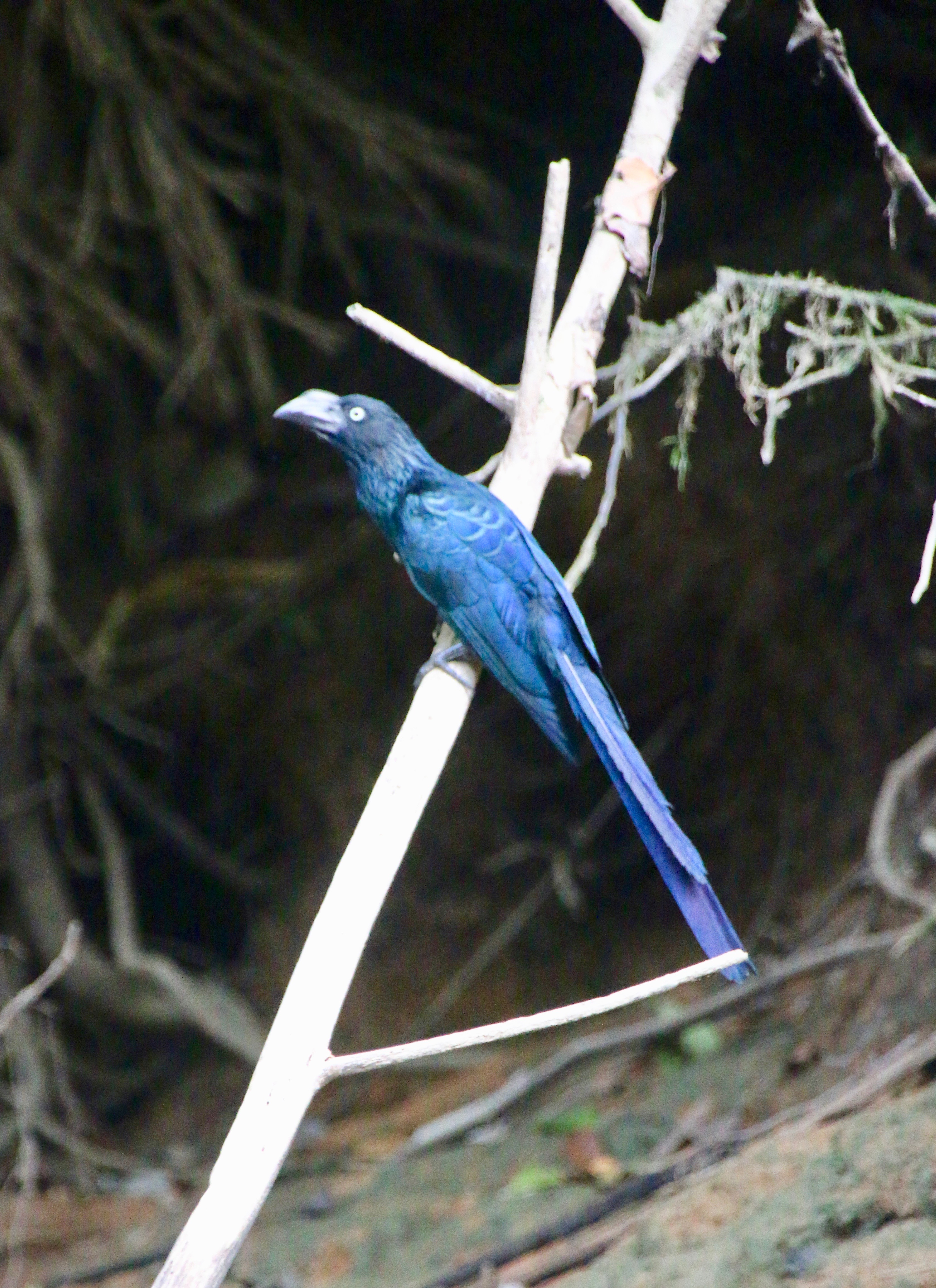
GEDC1293

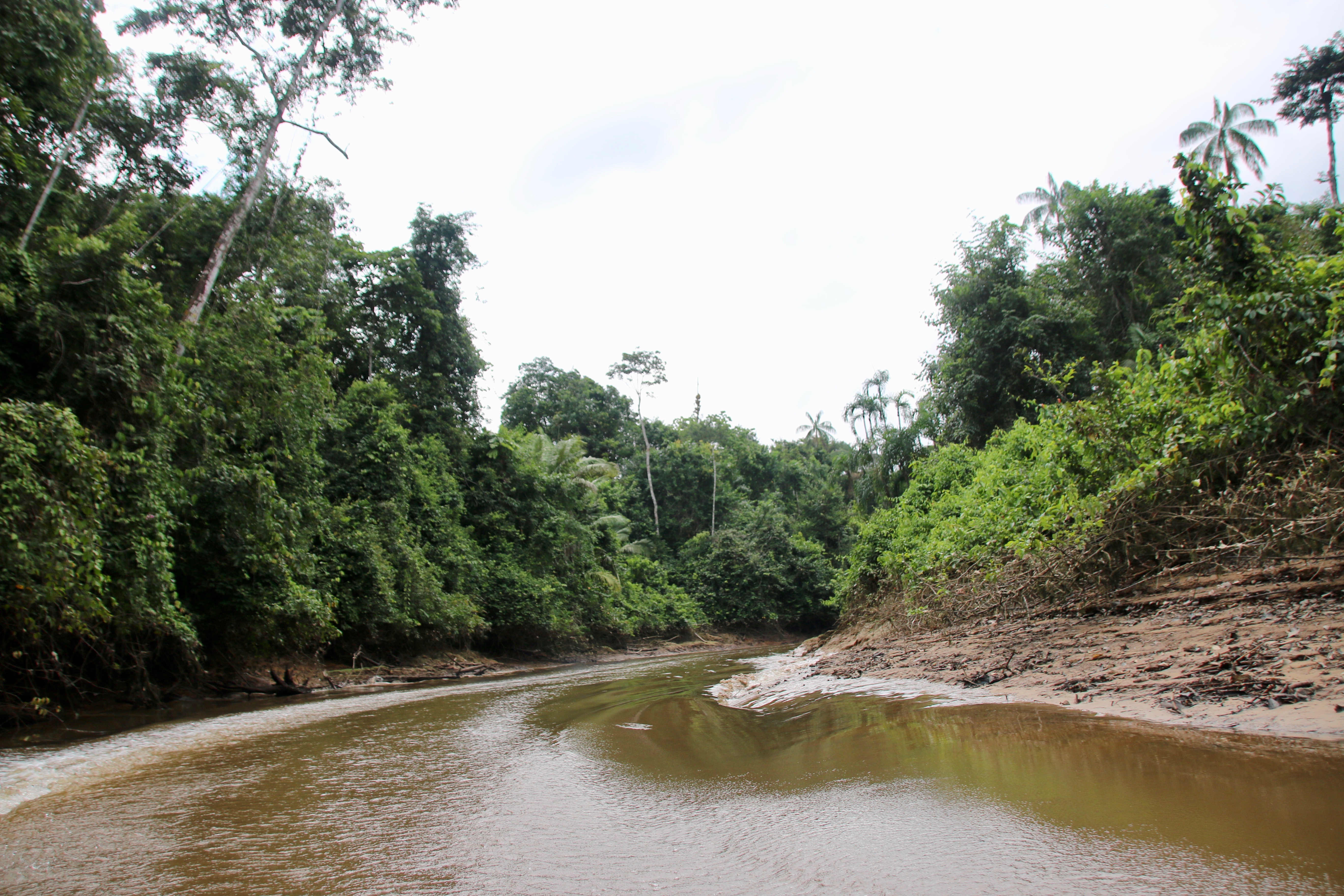
IMG_8523

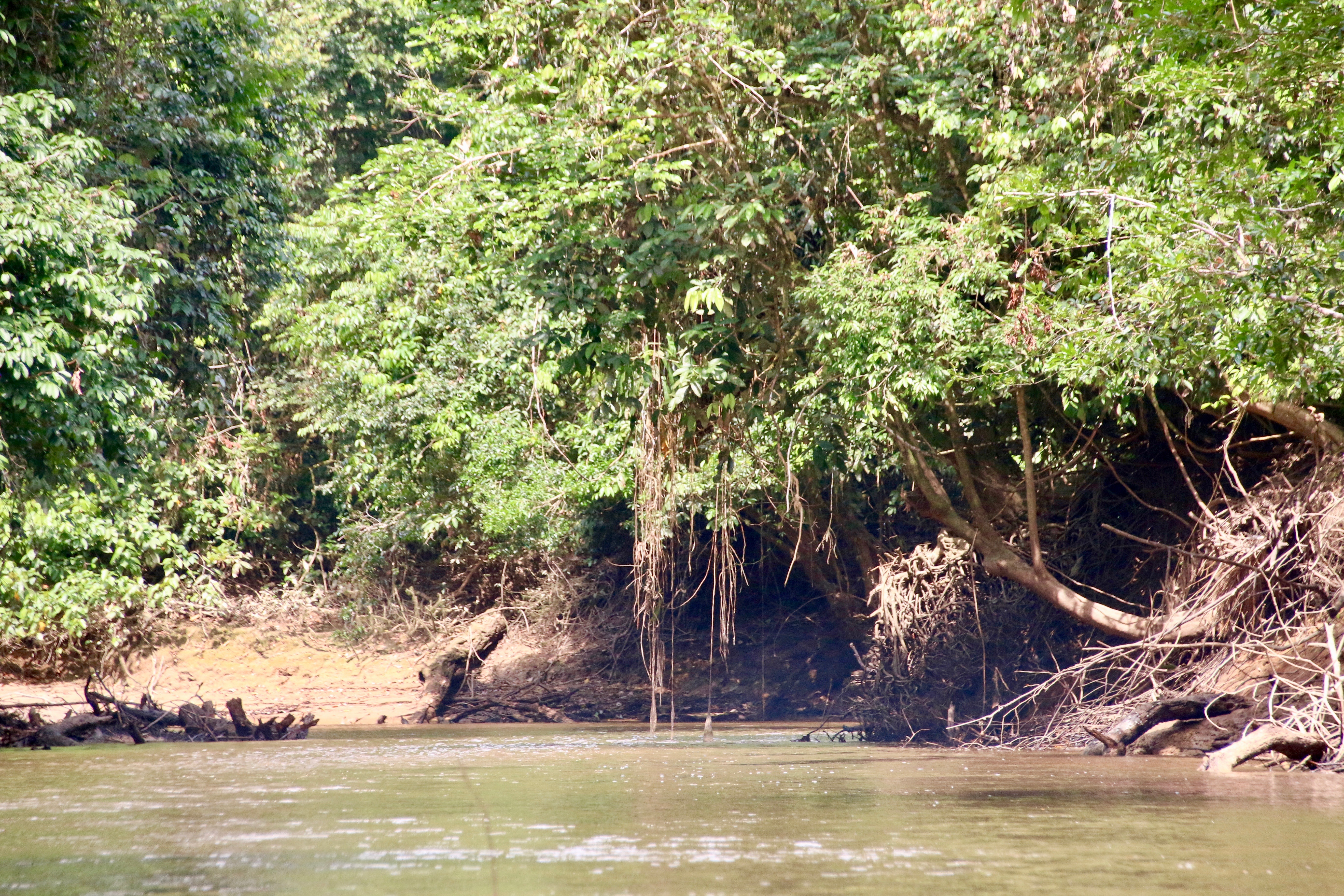
IMG_8525

IMG_8532

IMG_8540
IMG_8544

IMG_8548
IMG_8551

IMG_8556

IMG_8560

IMG_8564
IMG_8566

IMG_8402

IMG_8410

IMG_8412

IMG_8414

IMG_8418

IMG_8421

IMG_8422

IMG_8426

IMG_8431

IMG_8433
Topographic Map of Cuyabeno, Ecuador
Find elevation by address:

Places in Cuyabeno, Ecuador:
Places near Cuyabeno, Ecuador:
Recent Searches:
- Elevation of Estates Loop, Priest River, ID, USA
- Elevation of Woodland Oak Pl, Thousand Oaks, CA, USA
- Elevation of Brownsdale Rd, Renfrew, PA, USA
- Elevation of Corcoran Ln, Suffolk, VA, USA
- Elevation of Mamala II, Sariaya, Quezon, Philippines
- Elevation of Sarangdanda, Nepal
- Elevation of 7 Waterfall Way, Tomball, TX, USA
- Elevation of SW 57th Ave, Portland, OR, USA
- Elevation of Crocker Dr, Vacaville, CA, USA
- Elevation of Pu Ngaol Community Meeting Hall, HWHM+3X7, Krong Saen Monourom, Cambodia