Elevation of Cutler, CA, USA
Location: United States > California > Tulare County >
Longitude: -119.28678
Latitude: 36.5232833
Elevation: 110m / 361feet
Barometric Pressure: 100KPa
Elevation Map:
Satellite Map:
Related Photos:
ValleyEx (277)
Orange Cove's pop barely visible

black spot in Google Earth Street View
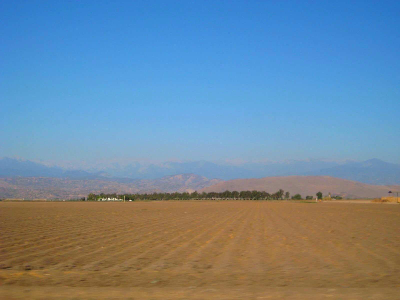
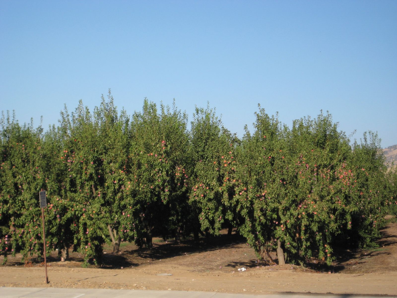
farmland to the mountains
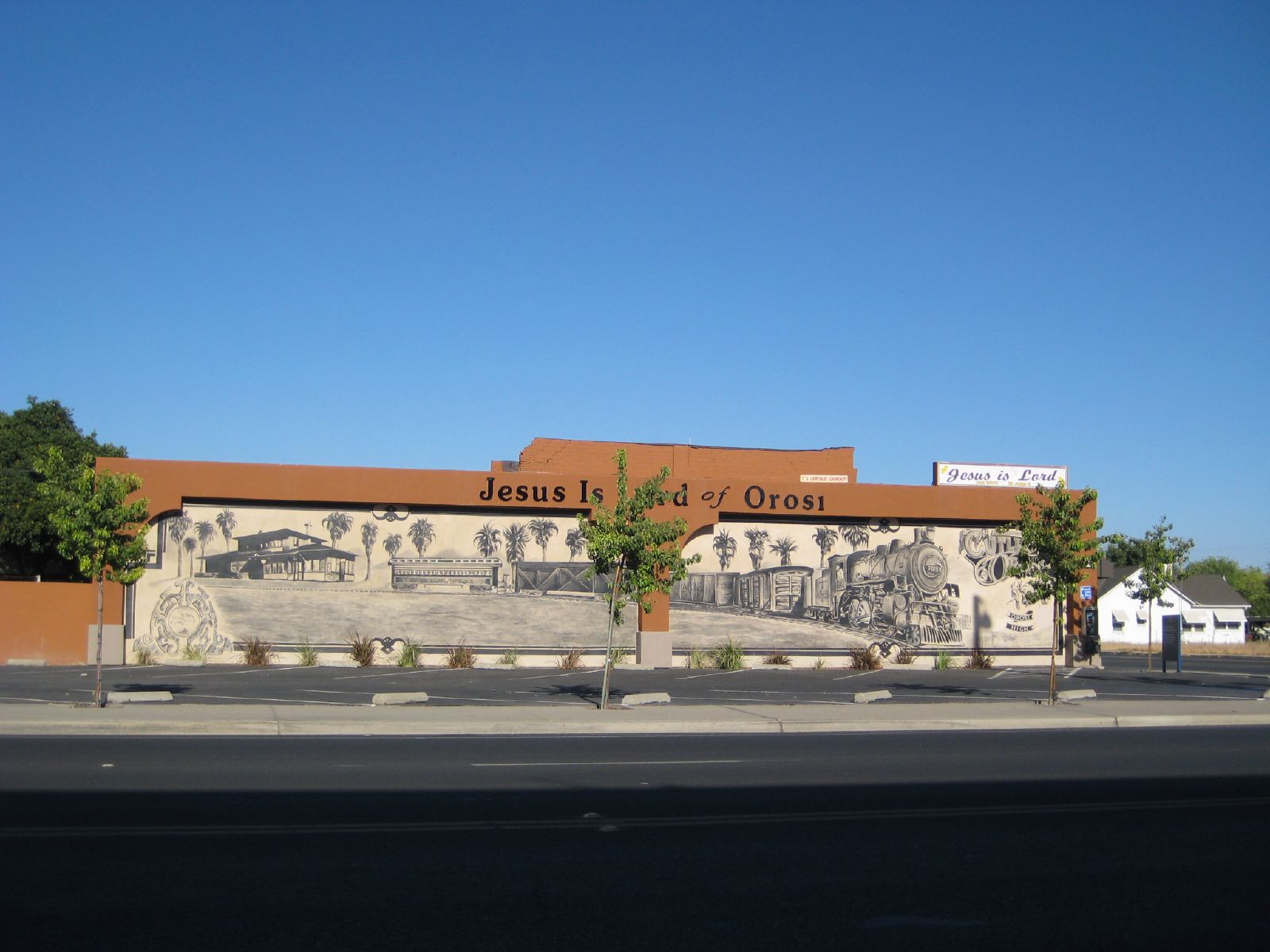
railroad mural
ValleyEx (272)
ValleyEx (278)
ValleyEx (271)
calle en cutler-orosi
ValleyEx (270)
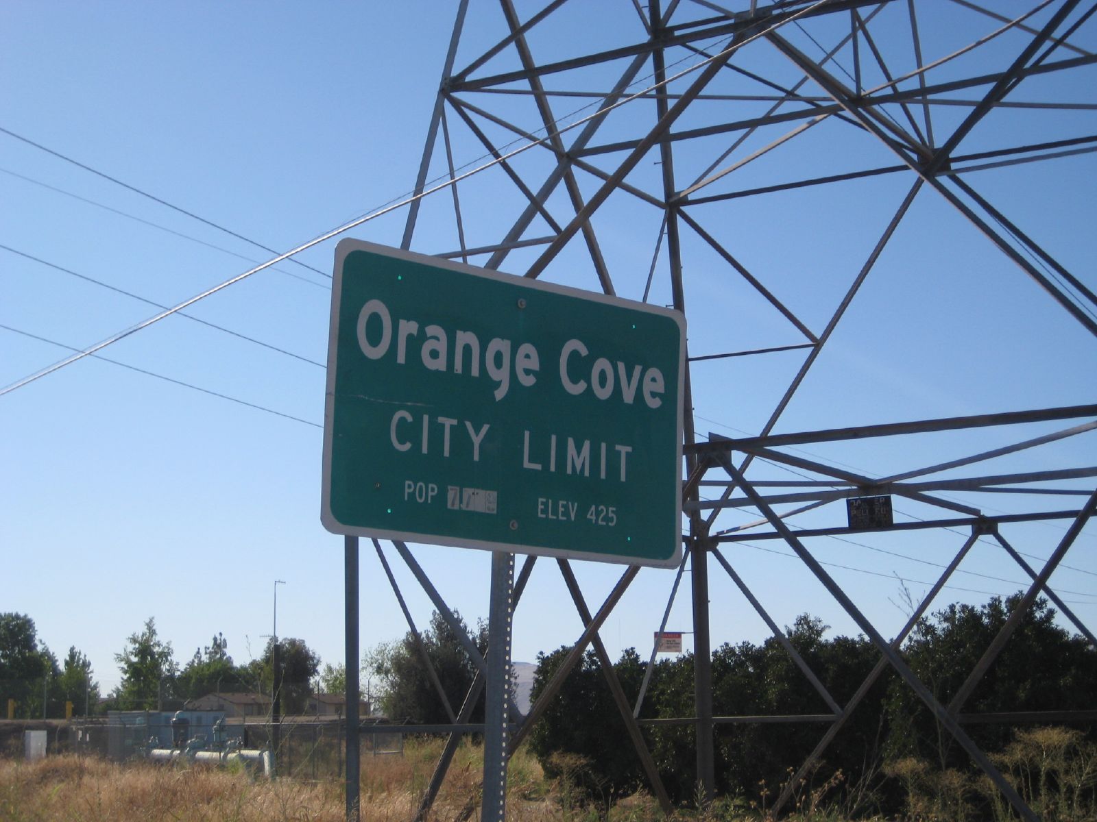
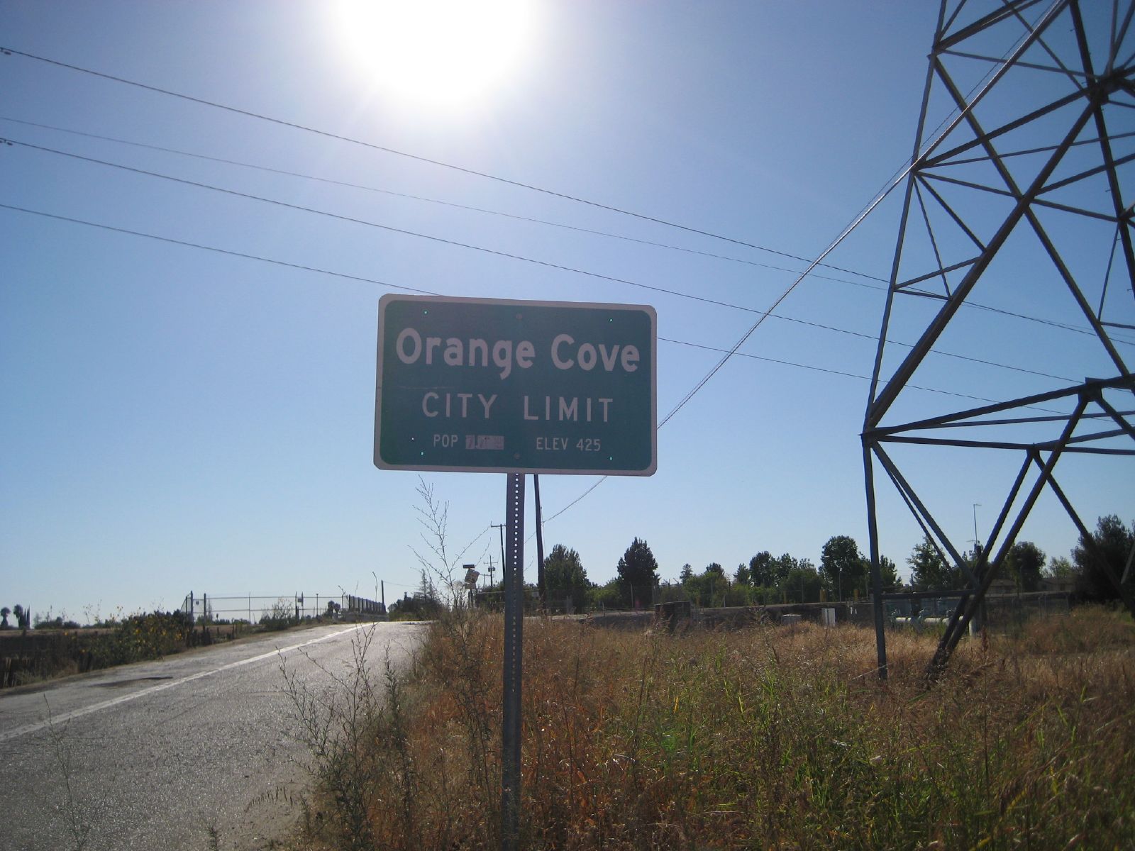
welcome to orange cove
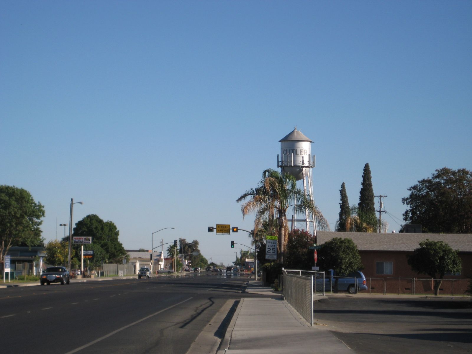
cutler water tank
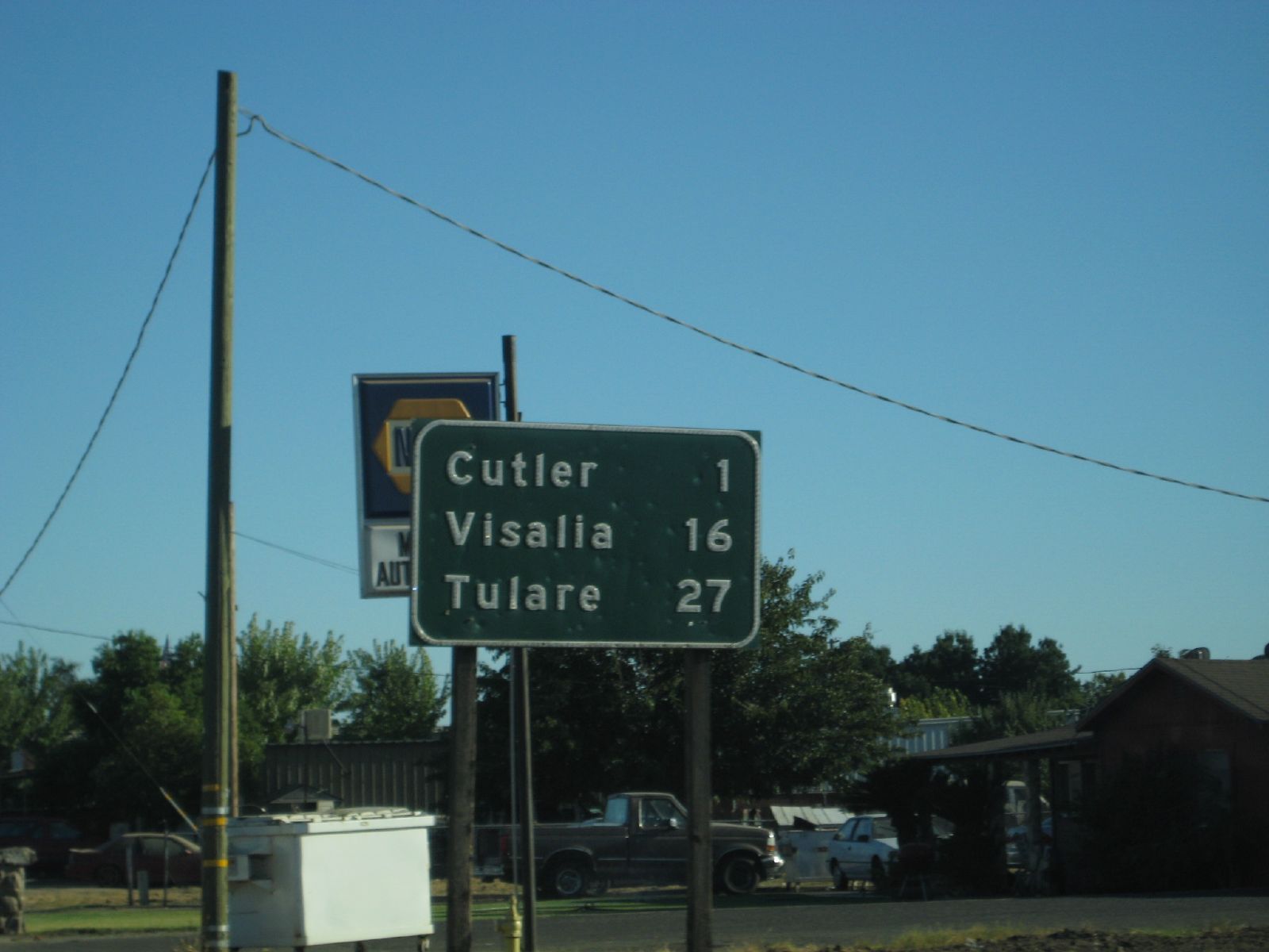
south to town
ValleyEx (279)
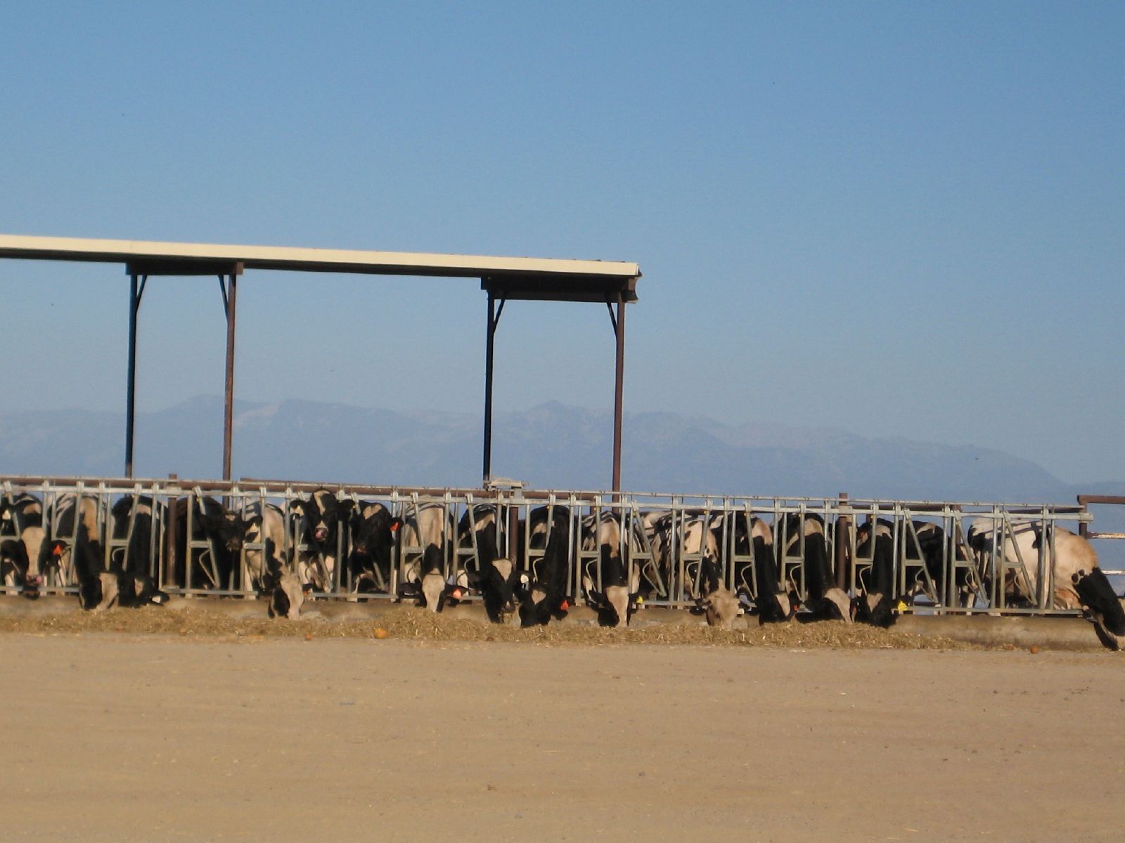
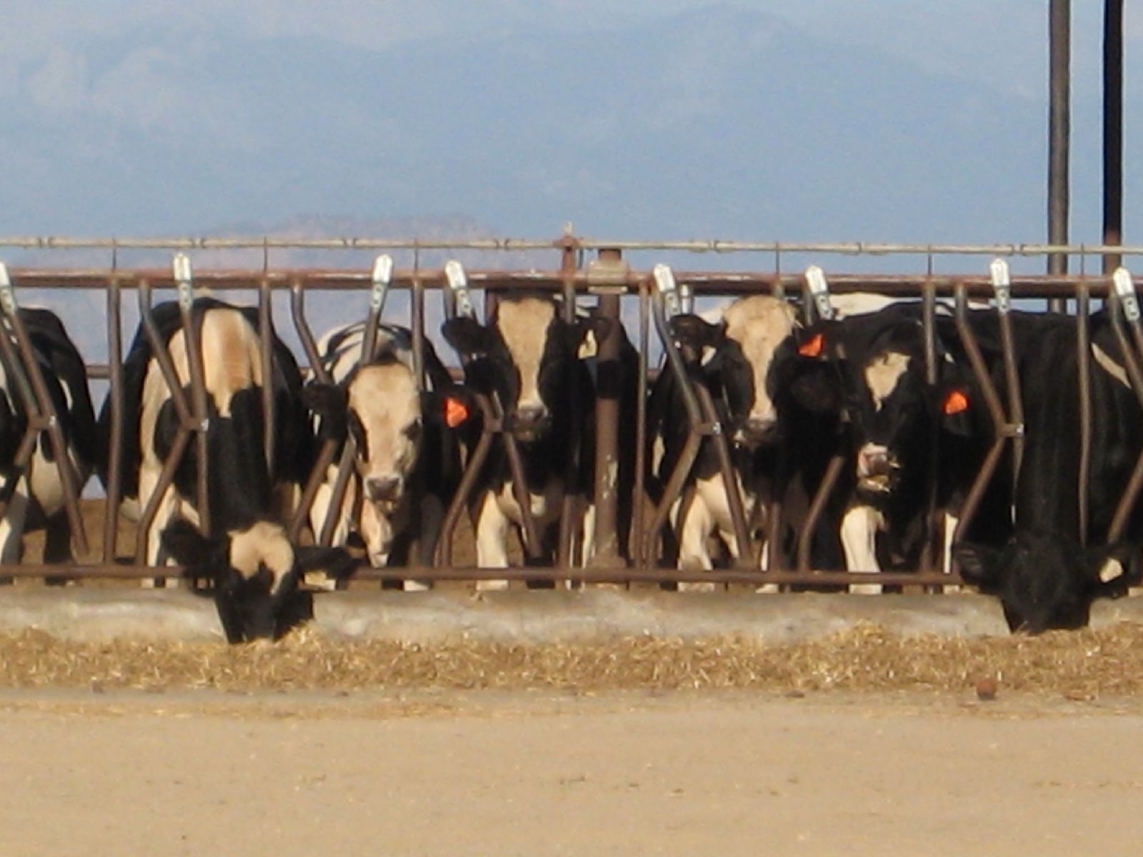
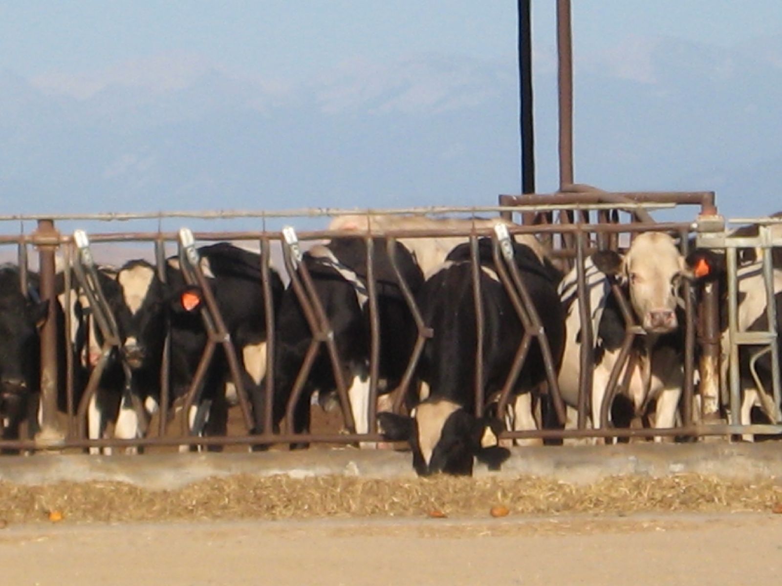
feeding time

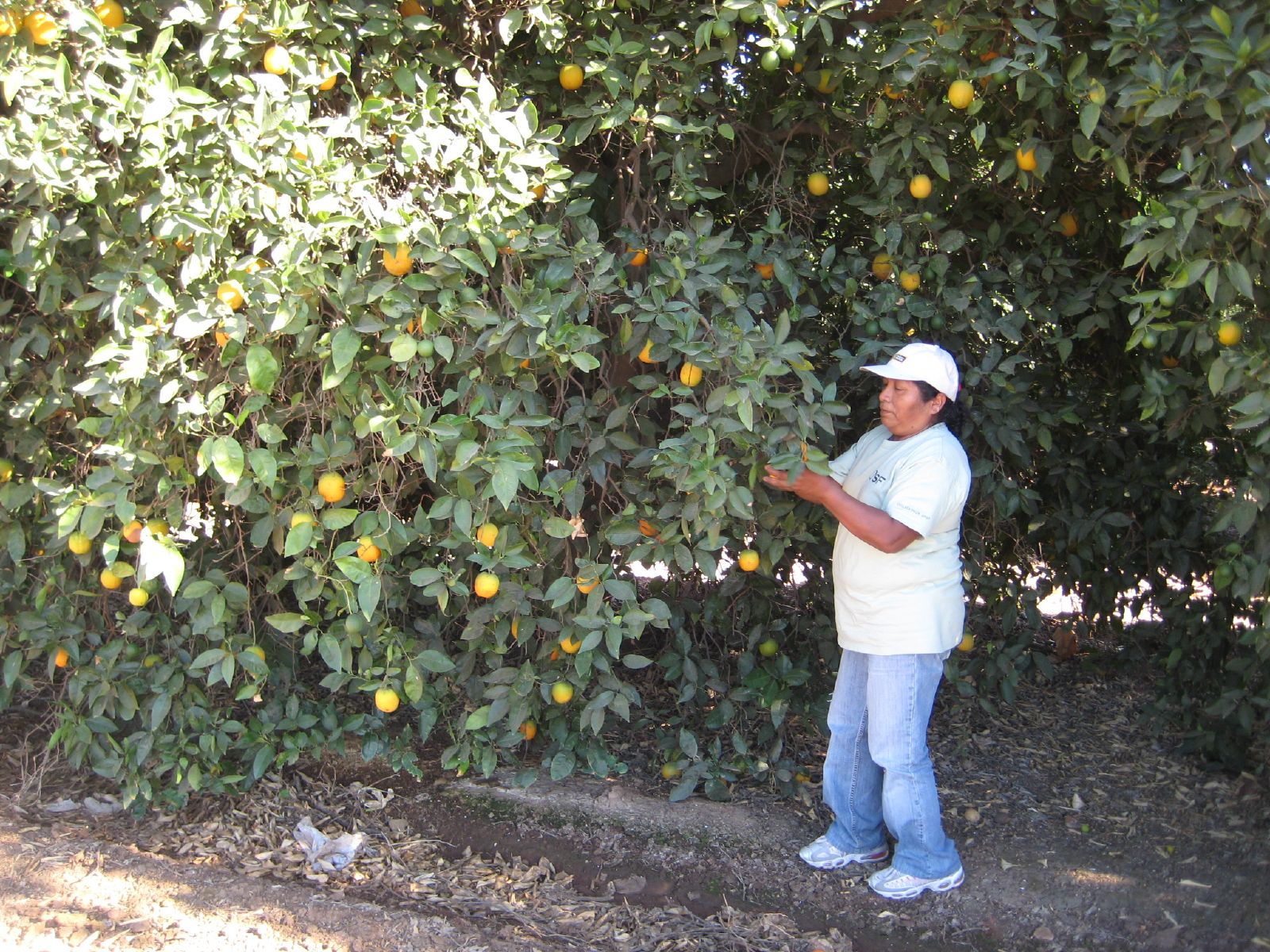
citrus packing house
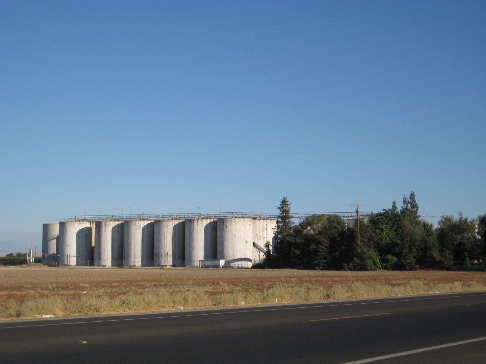
ValleyEx (269)

ValleyEx (259)

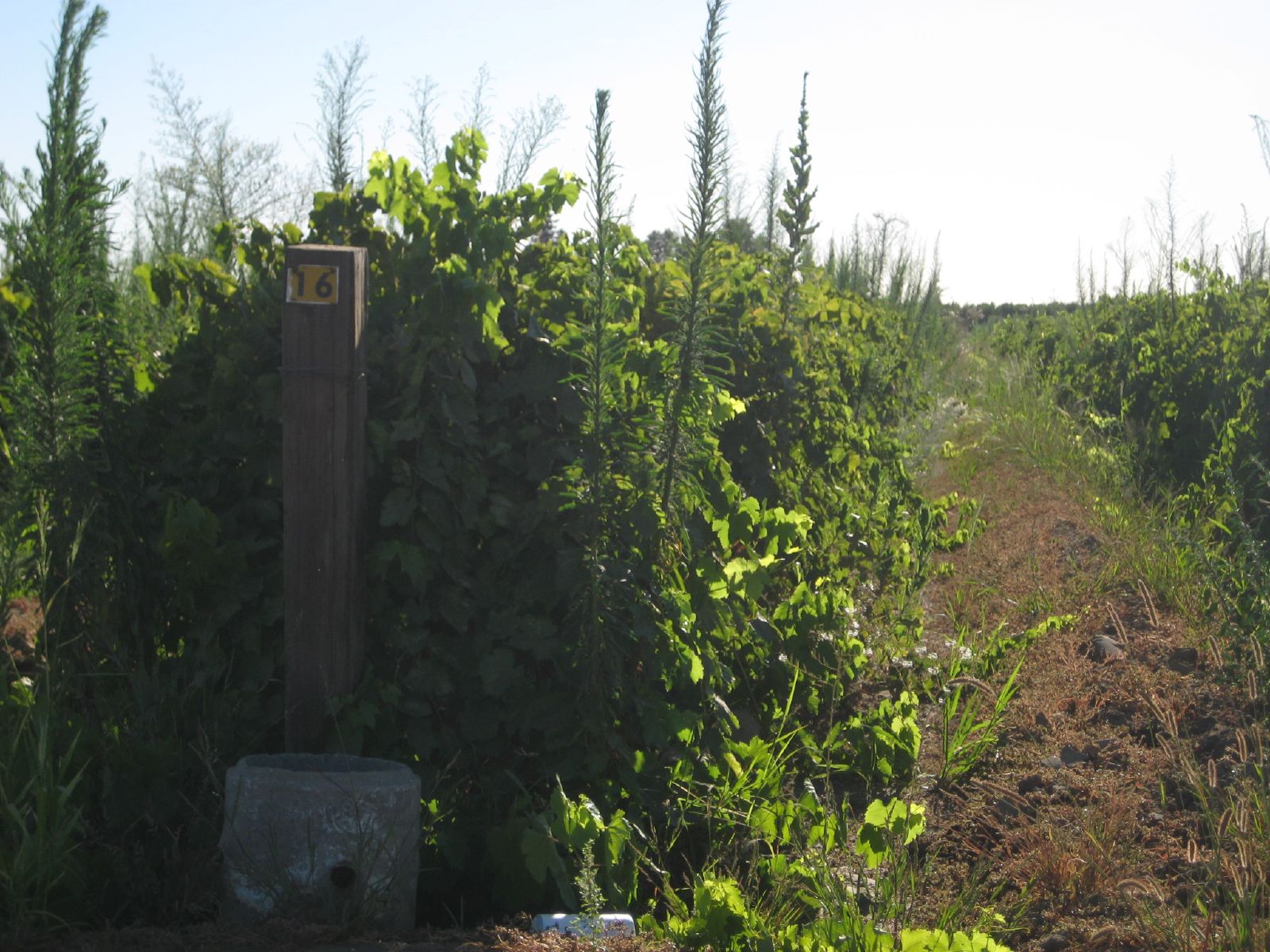
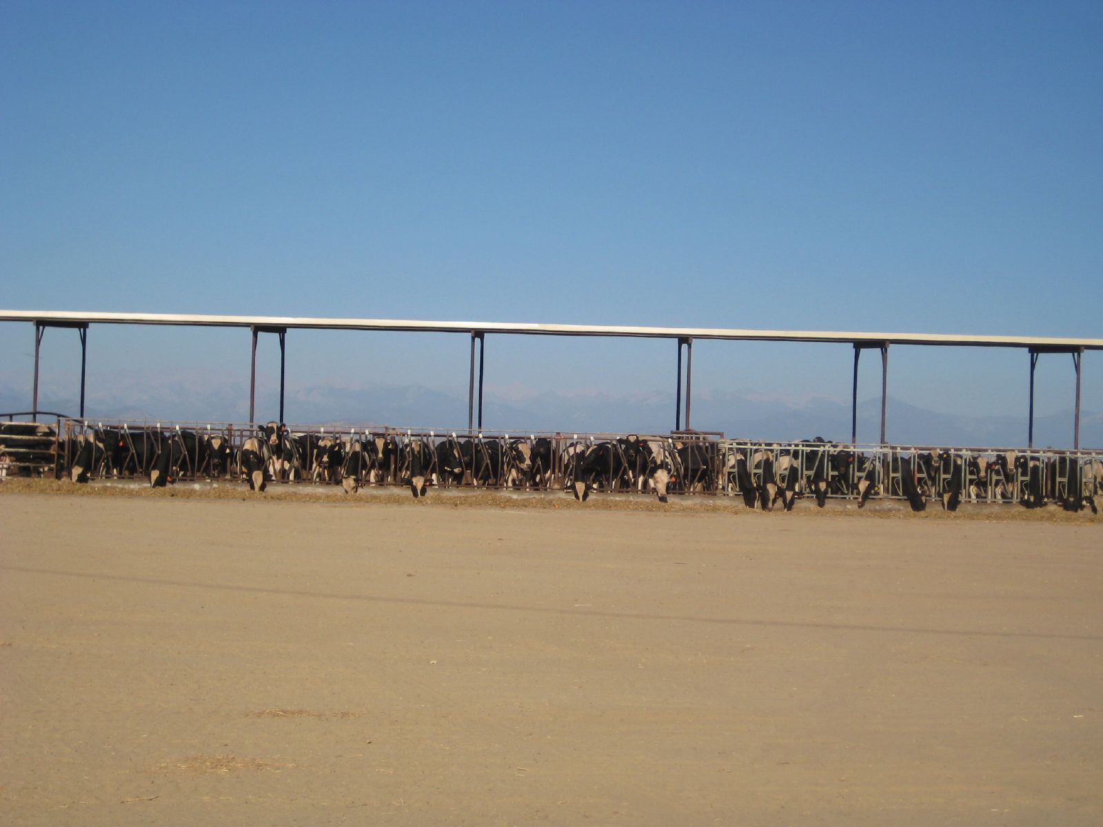
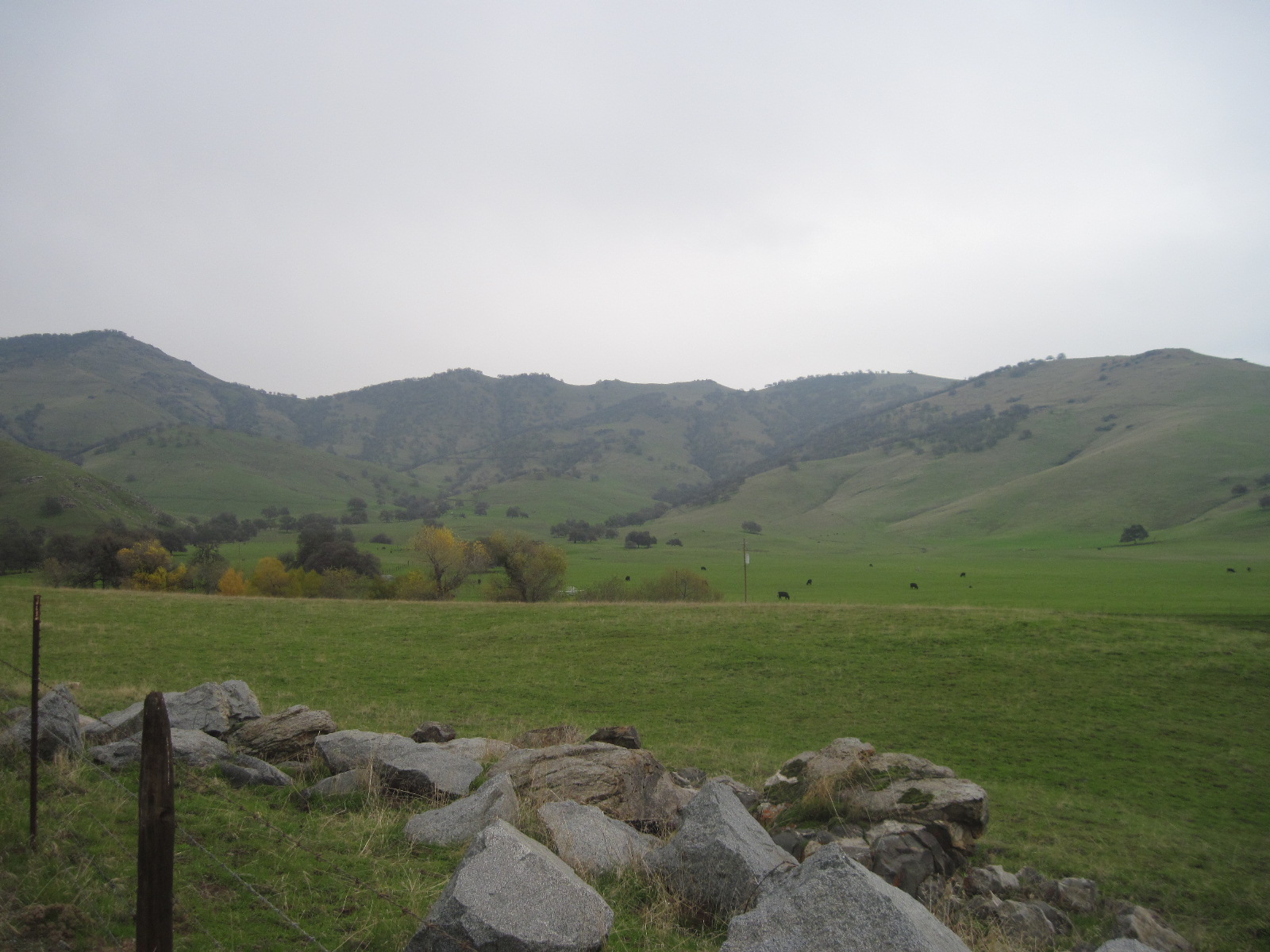
The fence

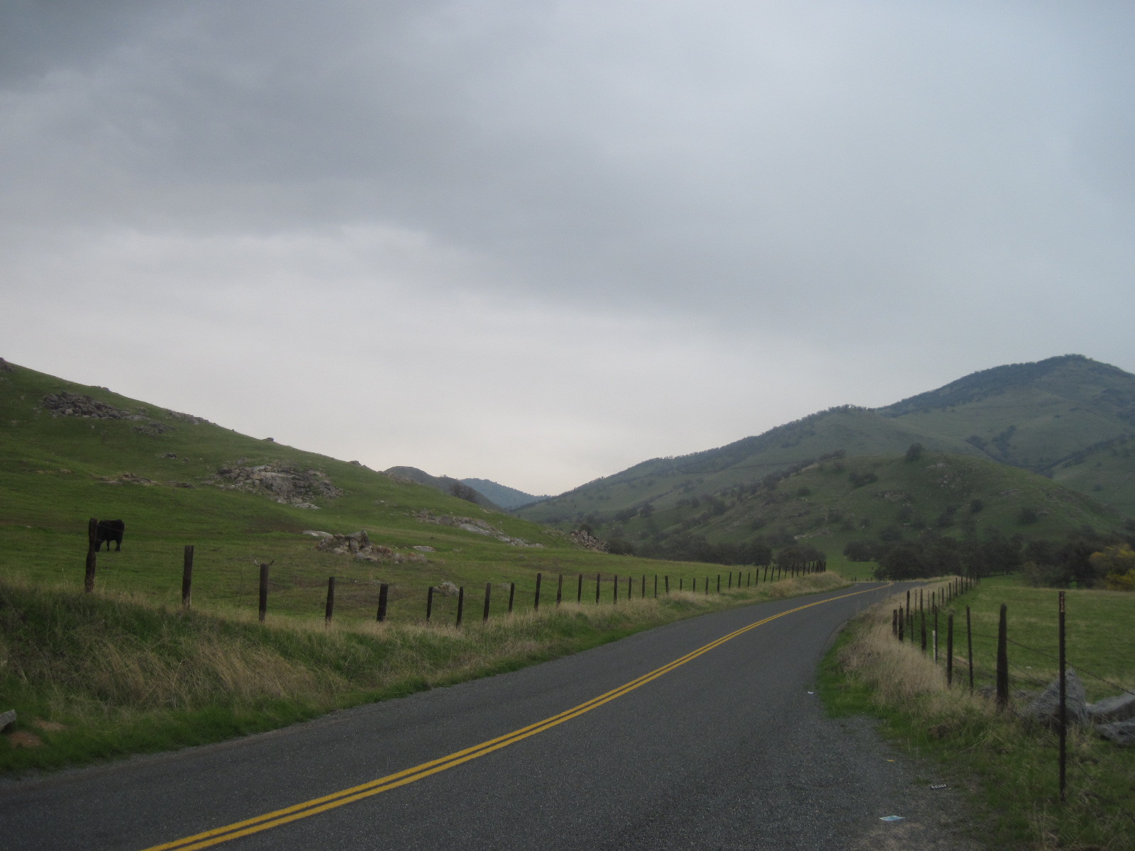
shaded highway
ValleyEx (258)

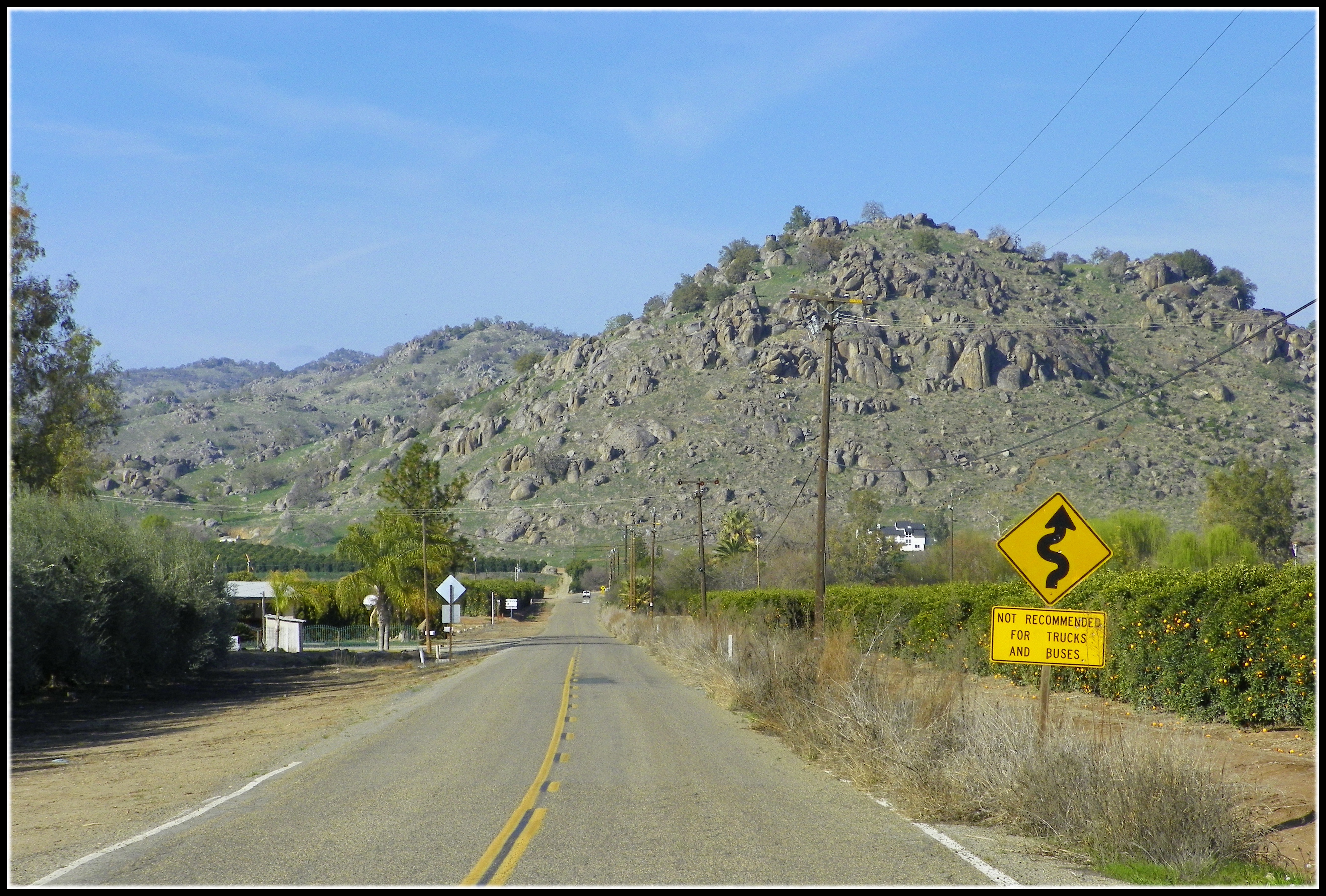
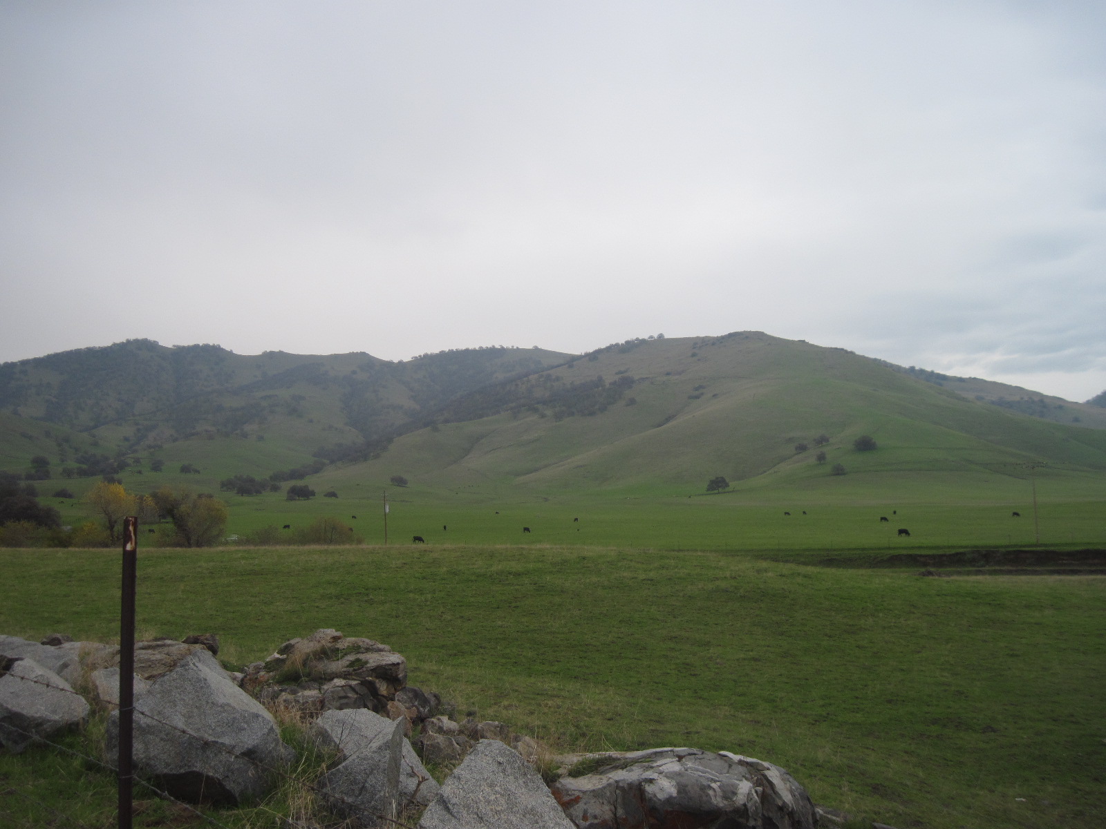
smith mountain
Afternoon Drive

Vintage; All The Cool Kids Are Doin' It
Sandy Creek Road, on the way to Critter Creek

Cooled Down
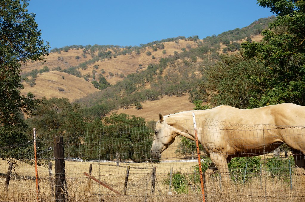
Good Looking Horse
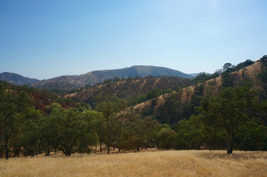
Way to Sequoia National Park
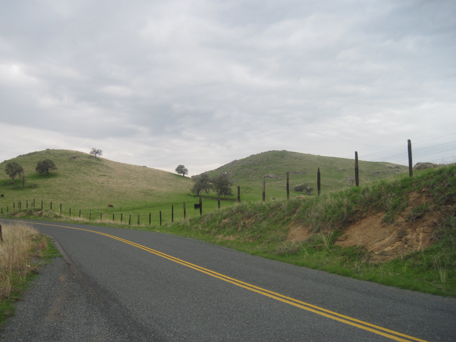
Sandy Creek Road, on the way to Critter Creek
Sandy Creek Road, on the way to Critter Creek
Sandy Creek Road, on the way to Critter Creek
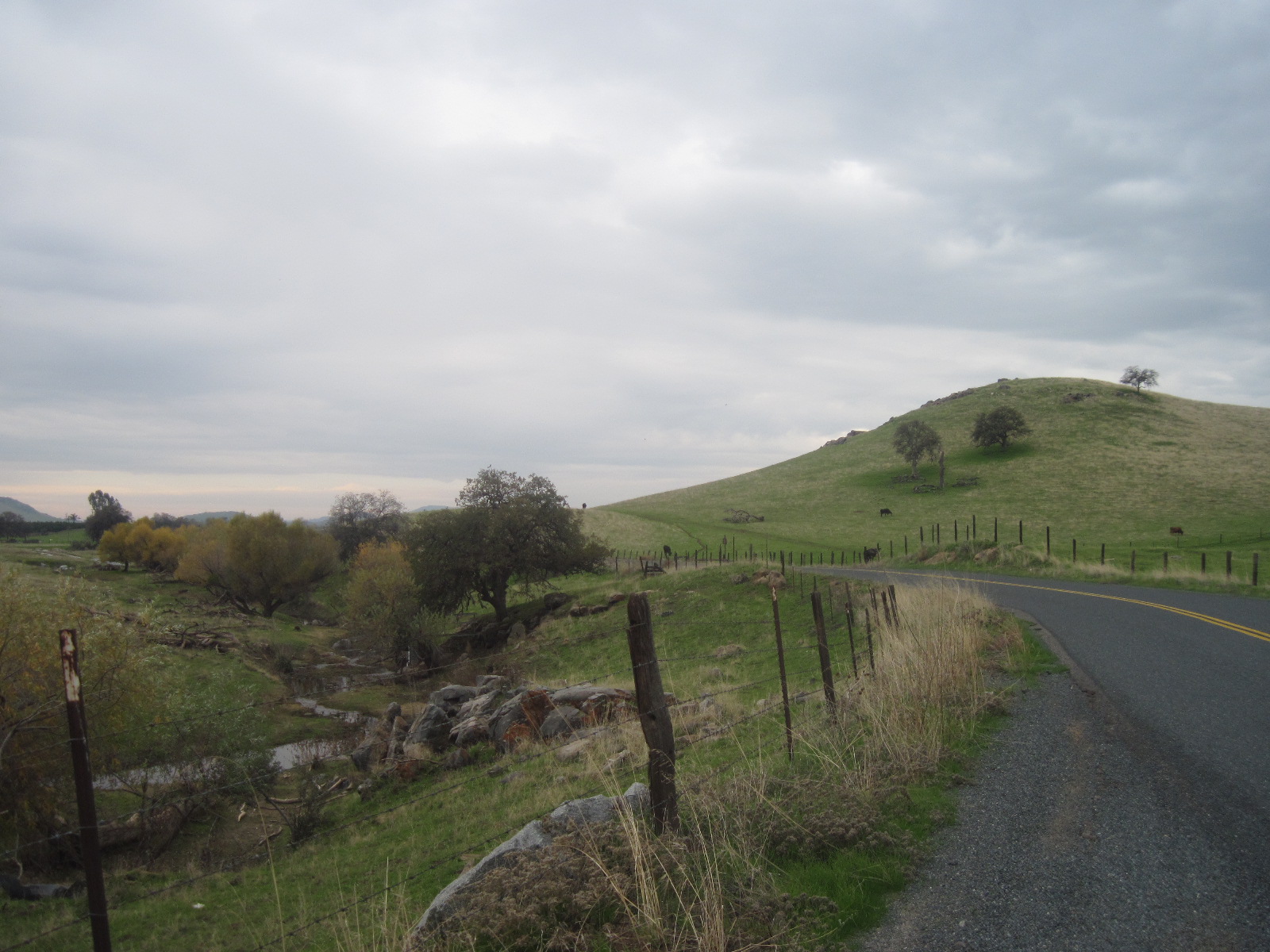
Sandy Creek Road, on the way to Critter Creek
Topographic Map of Cutler, CA, USA
Find elevation by address:

Places in Cutler, CA, USA:
Places near Cutler, CA, USA:
Ave, Cutler, CA, USA
Orosi
Avenue, Orosi, CA, USA
Rd, Cutler, CA, USA
Yettem
Avenue, Visalia, CA, USA
Avenue, Dinuba, CA, USA
Ave, Dinuba, CA, USA
Sultana
Avenue, Visalia, CA, USA
E Nebraska Ave, Dinuba, CA, USA
Ave, Visalia, CA, USA
Dinuba
Ave, Visalia, CA, USA
Rd 68, Dinuba, CA, USA
Ivanhoe
Rd, Ivanhoe, CA, USA
Ave, Dinuba, CA, USA
Kate Rd, Dinuba, CA, USA
Traver
Recent Searches:
- Elevation of Corso Fratelli Cairoli, 35, Macerata MC, Italy
- Elevation of Tallevast Rd, Sarasota, FL, USA
- Elevation of 4th St E, Sonoma, CA, USA
- Elevation of Black Hollow Rd, Pennsdale, PA, USA
- Elevation of Oakland Ave, Williamsport, PA, USA
- Elevation of Pedrógão Grande, Portugal
- Elevation of Klee Dr, Martinsburg, WV, USA
- Elevation of Via Roma, Pieranica CR, Italy
- Elevation of Tavkvetili Mountain, Georgia
- Elevation of Hartfords Bluff Cir, Mt Pleasant, SC, USA